The best gravel rides around Saint-Étienne-Vallée-Française
3.7
(7)
38
riders
4
rides
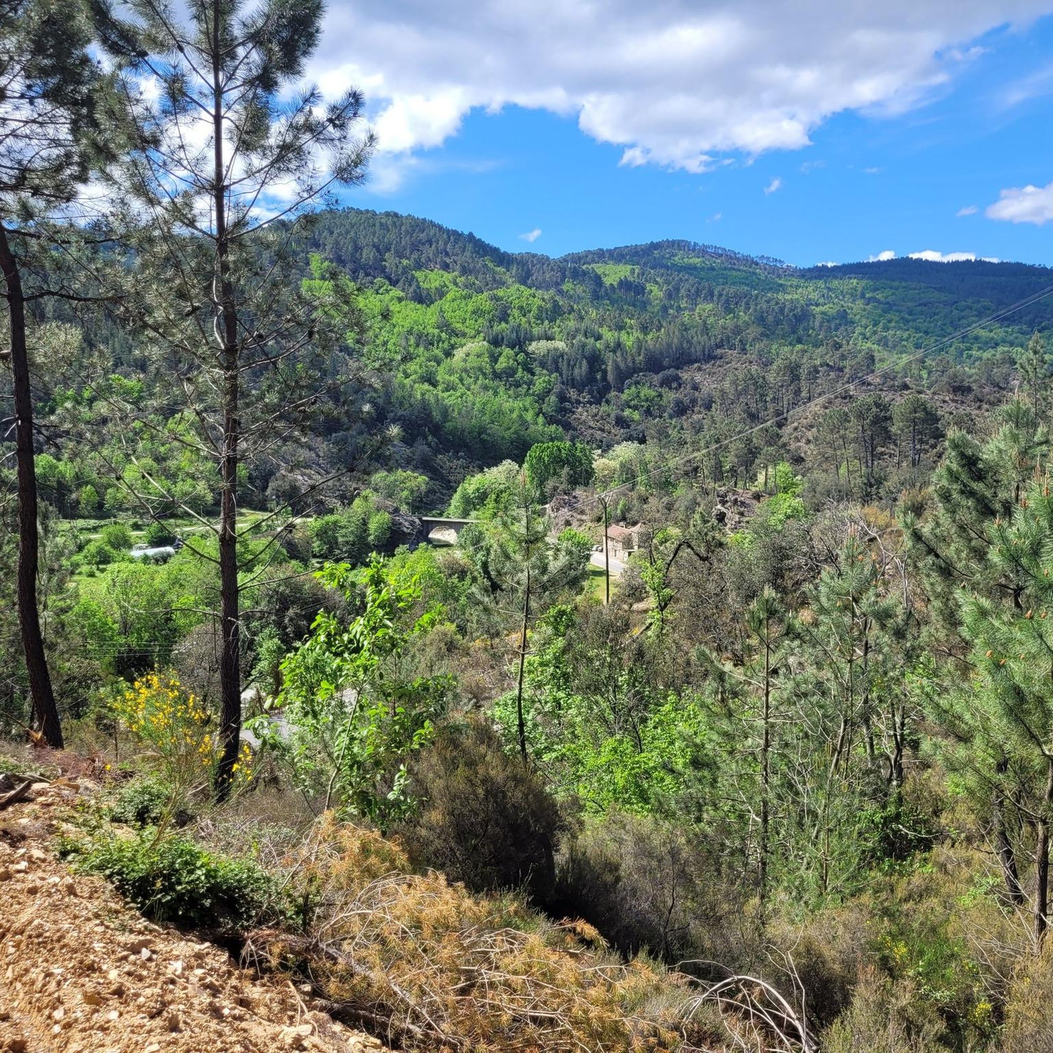
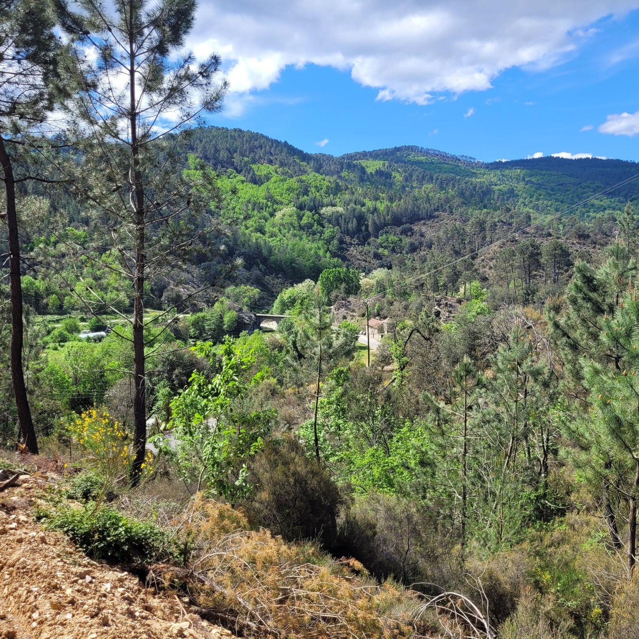
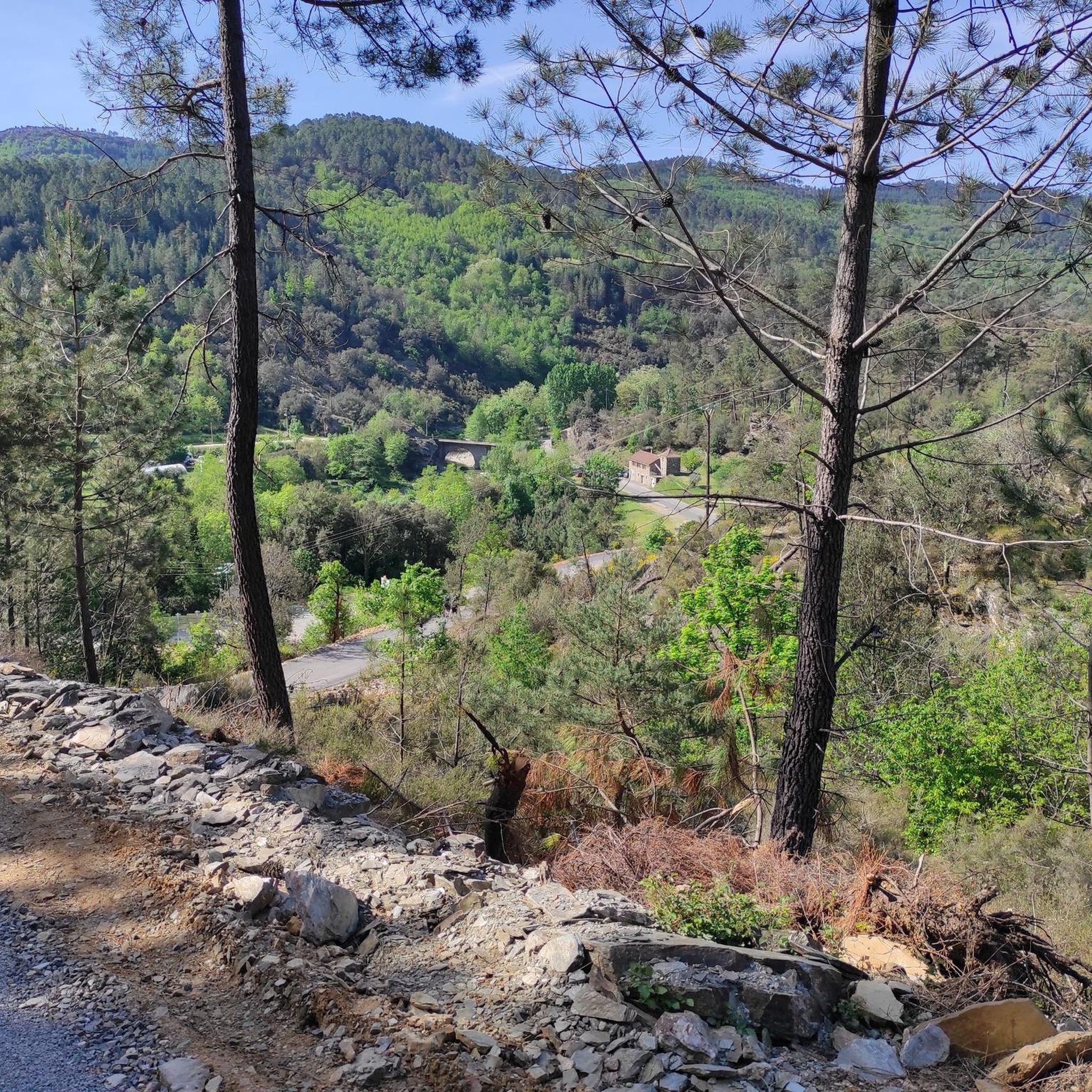
Gravel biking around Saint-Étienne-Vallée-Française offers diverse terrain within the Cévennes National Park. The region features schistous landscapes, abundant chestnut groves, and is irrigated by the Gardon River and its tributaries. Elevations range from 194m to 925m, including mountain passes like the Col de l'Asclier. This geological and hydrological variety provides a challenging environment for gravel cyclists.
Best gravel bike trails around Saint-Étienne-Vallée-Française
- The most popular gravel bike trail is Saint-Étienne-Vallée-Française – Viewpoint loop from Saint-Étienne-Vallée-Française, a 26.0 miles (41.8…
Last updated: July 2, 2026
5.0
(2)
5
riders
41.8km
03:55
1,190m
1,190m
Hard gravel ride. Very good fitness required. Mostly paved surfaces. Suitable for all skill levels.
5
riders
Hard gravel ride. Very good fitness required. Mostly paved surfaces. Suitable for all skill levels.

Sign up for free
5.0
(1)
6
riders
28.9km
01:55
520m
520m
Hard gravel ride. Very good fitness required. Mostly paved surfaces. Suitable for all skill levels.
4
riders
130km
10:33
2,510m
2,510m
Hard gravel ride. Very good fitness required. Mostly paved surfaces. Suitable for all skill levels.
3.0
(1)
10
riders
34.3km
01:51
330m
330m
Moderate gravel ride. Good fitness required. Mostly paved surfaces. Suitable for all skill levels.
Our route recommendations are based on thousands of hikes, rides, and runs completed by other people on komoot.
Start today with a free account
Your next adventure awaits.
Login or Signup
Popular around Saint-Étienne-Vallée-Française
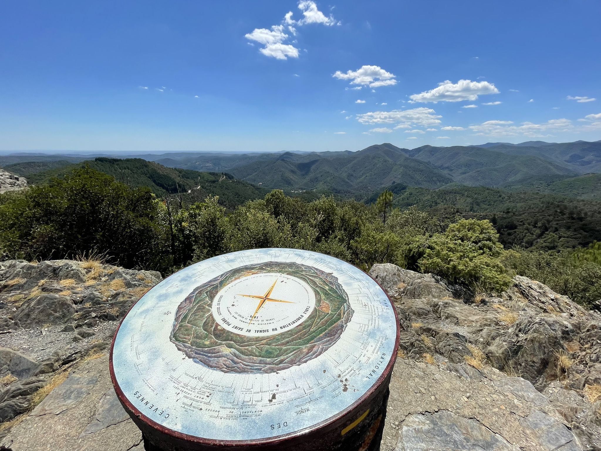
Hike through the Cévennes valleys in France – Chemin Camisard
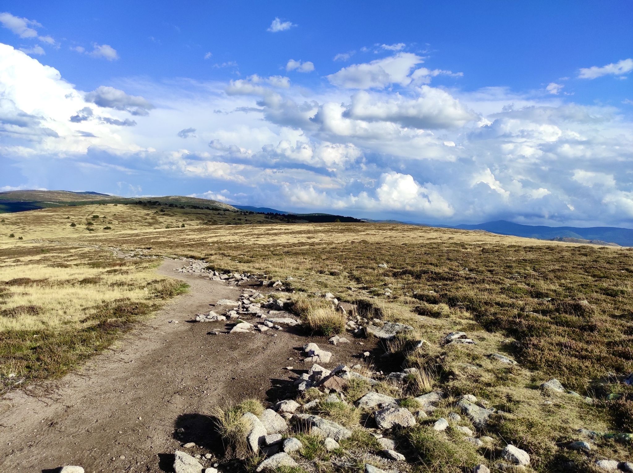
In the footsteps of Modestine — the Stevenson Trail (GR 70)
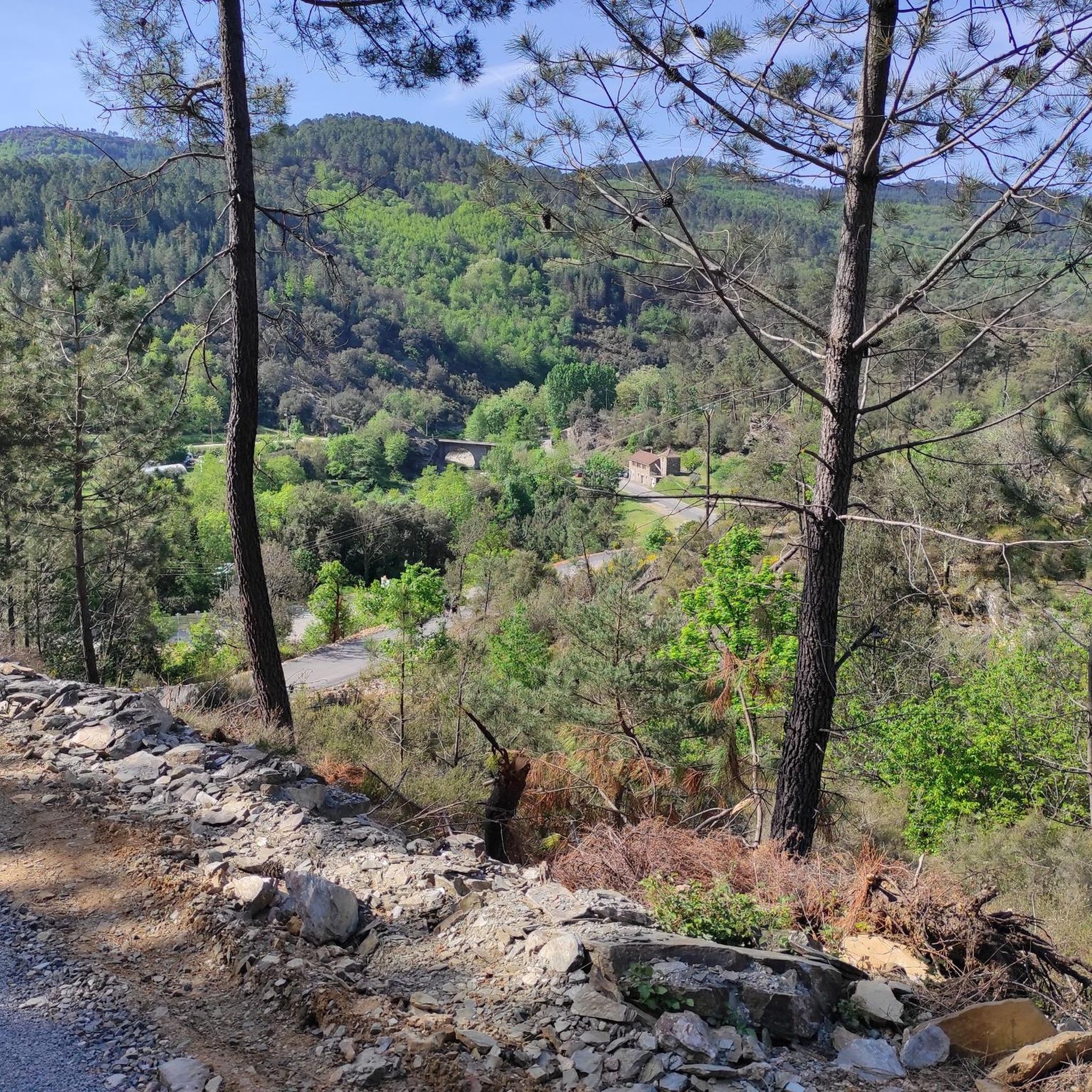
Hiking around Saint-Étienne-Vallée-Française
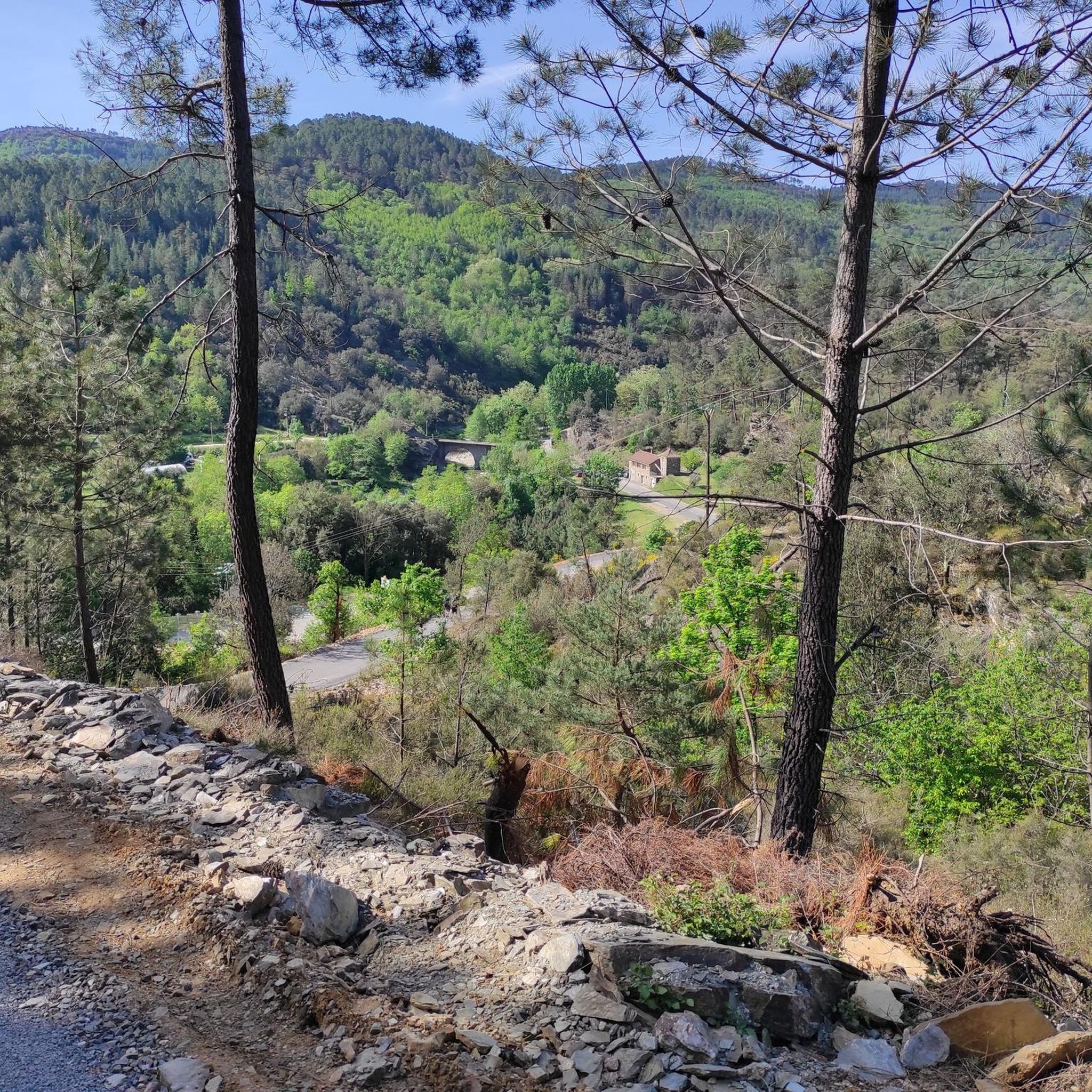
Road Cycling Routes around Saint-Étienne-Vallée-Française
Cycling around Saint-Étienne-Vallée-Française
MTB Trails around Saint-Étienne-Vallée-Française
Running Trails around Saint-Étienne-Vallée-Française
Other adventures around Saint-Étienne-Vallée-Française

Tips from the Community


The tunnel as a cooling element at 34 degrees
0
0
nice and lively town. From here take the steam train to St Jean du Gard.
0
0
One of the flattest rides that could be found on komoot in this region. Nice as an intermediate ride.
0
0

Recent and well-executed developments
0
0

The Via Ardeche railway cycle path is a nice idea in itself, but unfortunately, the perfect surface (asphalt) is only present in the tunnel sections. The rest is rough concrete, gravel, and even worse.
0
0
The Via Ardeche railway cycle path is a nice idea in itself, but unfortunately, the perfect surface (asphalt) is only present in the tunnel sections. The rest is rough concrete, gravel, and even worse. It's pleasantly cool in the tunnel.
1
0
The Via Ardeche railway cycle path is a nice idea in itself, but unfortunately, the perfect surface (asphalt) is only present in the tunnel sections. The rest is rough concrete, gravel, and even worse.
0
1
Frequently Asked Questions
How many gravel bike trails are available around Saint-Étienne-Vallée-Française?
There are several challenging gravel bike trails available around Saint-Étienne-Vallée-Française, offering diverse terrain within the Cévennes National Park. The komoot community has mapped 6 routes in the area.
What is the general difficulty level of gravel biking routes in Saint-Étienne-Vallée-Française?
The gravel biking routes in Saint-Étienne-Vallée-Française are generally considered difficult. They feature significant elevation gain, with altitudes ranging from 194m to 925m, and traverse varied terrain including schistous landscapes, chestnut groves, and mountain passes like the Col de l'Asclier.
When is the best time of year for gravel biking in Saint-Étienne-Vallée-Française?
Thanks to its gentle Mediterranean climate, Saint-Étienne-Vallée-Française is suitable for gravel biking year-round. However, spring and autumn offer particularly pleasant temperatures and vibrant scenery, making them ideal for exploring the Cévennes forests and river valleys.
Are there any notable landmarks or viewpoints to discover along the gravel routes?
Yes, the region is rich in natural beauty and offers several viewpoints. You can experience breathtaking panoramic views of the Cévennes from mountain passes like the Col de l'Asclier (905m). Other notable spots include the Signal de Saint-Pierre Orientation Table and the Asclier Pass. The medieval Château de Cambiaire also offers magnificent views overlooking the village.
Can I find any natural features like waterfalls or swimming spots on or near the trails?
Absolutely. The region is irrigated by the Gardon River and its tributaries, providing refreshing natural features. The Martinet waterfall is a picturesque spot with clear waters and natural swimming pools, perfect for a break during your ride. You'll also encounter the expansive Cévennes forests and chestnut groves.
Are there any circular gravel bike routes available in the area?
Yes, many of the gravel routes in Saint-Étienne-Vallée-Française are designed as loops. For example, you can explore the Saint-Étienne-Vallée-Française – Viewpoint loop from Saint-Étienne-Vallée-Française or the View from Saint-Jean-du-Pin – Col de Mayelle loop from Saint-Sébastien-d'Aigrefeuille, both offering diverse terrain and scenic views.
What do other gravel bikers enjoy the most about gravel biking in Saint-Étienne-Vallée-Française?
The area is highly rated by the komoot community, with an average score of 4.2 stars. Reviewers often praise the varied terrain, which includes schistous landscapes, chestnut groves, and challenging mountain passes, providing a rewarding experience for gravel cyclists. The natural beauty within the Cévennes National Park is also a frequently mentioned highlight.
Are there any long-distance gravel routes or multi-day options?
While many routes are day trips, the region's diverse terrain and connection to the broader Cévennes National Park allow for longer adventures. The Mount Aigoual – Mont Aigoual loop from Peyrolles, for instance, is a substantial 99 km route that could be part of a multi-day exploration. The area is also a stop along the historic Robert Louis Stevenson Trail (GR 70), which offers extensive hiking and can be adapted for gravel sections.
What kind of terrain can I expect on the gravel trails?
You can expect a rich variety of terrain, including gravel paths, forest trails, and some paved sections. The landscape is characterized by schistous rock formations, abundant chestnut groves, and the valleys carved by the Gardon River and its tributaries. This mix provides both challenging climbs and scenic descents.
Are there any specific permits required for gravel biking within the Cévennes National Park?
Generally, no specific permits are required for cycling on marked trails and roads within the Cévennes National Park. However, it's always advisable to respect local regulations, stay on designated paths, and be mindful of protected areas, especially the Natura 2000 sites in the valleys of the Gardon de Mialet and the Galeizon.
Is Saint-Étienne-Vallée-Française accessible by public transport for gravel bikers?
While Saint-Étienne-Vallée-Française is nestled in a rural part of the Cévennes, public transport options might be limited. It's recommended to check regional bus services or consider driving to the area. For detailed information on transport, you might consult local tourist information centers or the official website for the Cévennes National Park.
Are there options for family-friendly gravel biking or easier routes?
The routes listed in this guide are generally classified as difficult due to significant elevation changes. However, the region offers many smaller roads and forest tracks that might be suitable for families or those seeking a less strenuous ride. Exploring sections of the former Ancient Canal du Gardon, now a hiking path, could offer flatter, more accessible options, though these may not be specifically designated gravel routes.
Most popular routes around Saint-Étienne-Vallée-Française
Most popular attractions around Saint-Étienne-Vallée-Française

Get inspired with the komoot mobile app


Explore more
Browse the best Gravel rides in other regions.
