The best running trails around Saint-Étienne-Vallée-Française
4.4
(36)
954
runners
84
runs
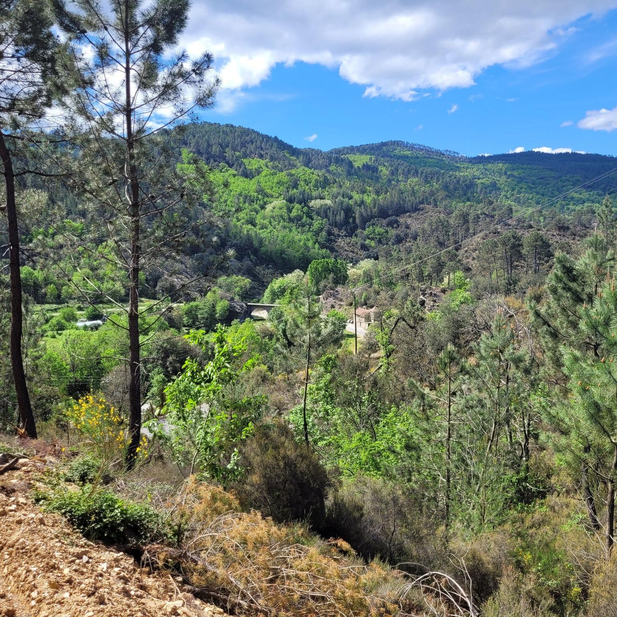
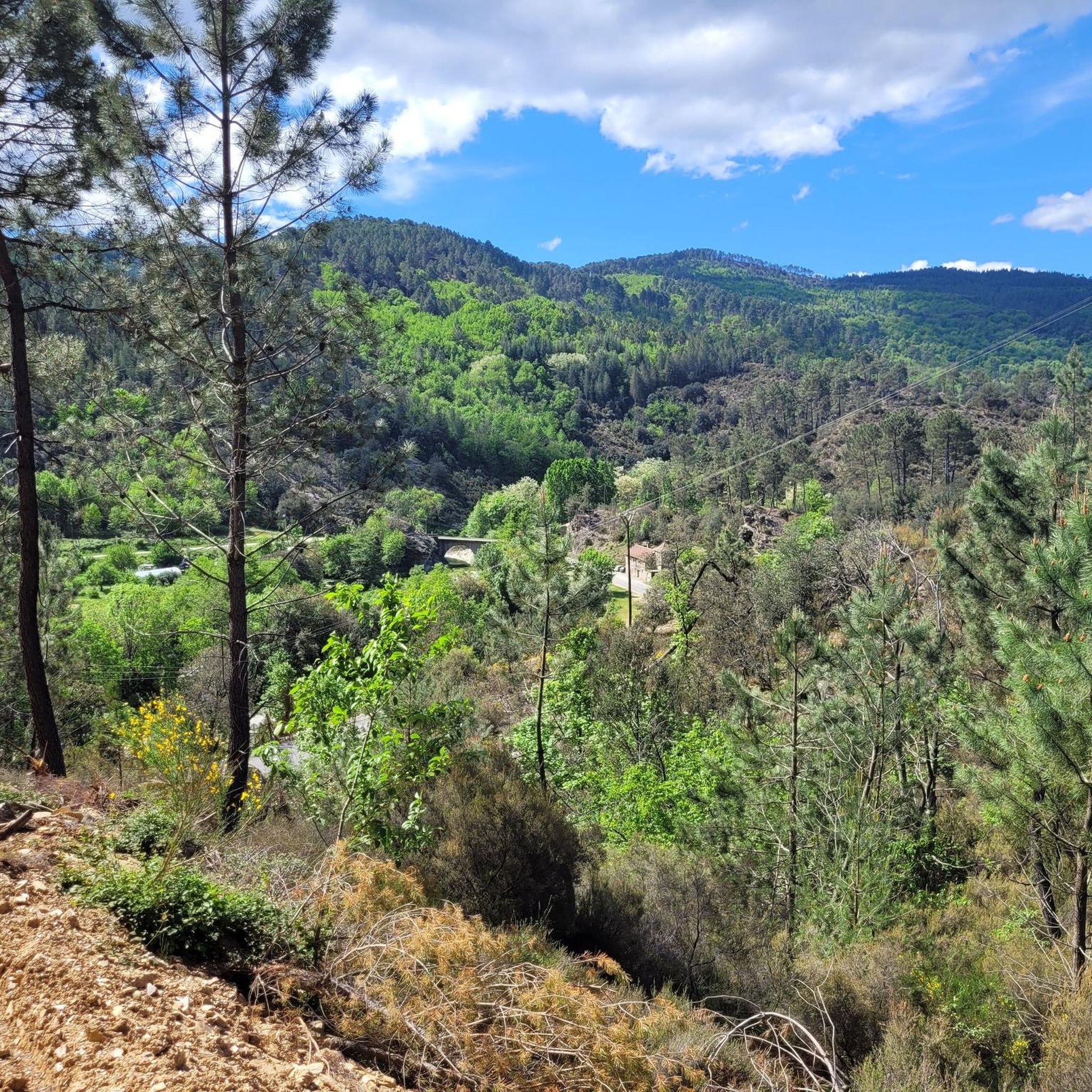
Jogging routes around Saint-Étienne-Vallée-Française offer a diverse landscape for runners, characterized by the hilly terrain of the Cévennes, winding river valleys, and dense woodlands. The region features a mix of challenging ascents and more gentle paths, often leading through picturesque villages and natural pools. Runners can expect varied elevation profiles, from moderate climbs to more demanding routes, providing options for different fitness levels.
Best jogging routes around Saint-Étienne-Vallée-Française
- The most popular jogging route is Saint-Jean-du-Gard – Saint-Jean-du-Gard loop from Peyrolles-en-Cévennes, a 4.9 miles (8.0 km) trail that takes 50 minutes to complete. This moderate route offers a pleasant run through the local landscape.
- Another top favourite among local runners is Arbousse Peak loop from Les Poussiels, a difficult 13.7 miles (22.0 km) path. This route features significant elevation gain, leading to panoramic views from Arbousse Peak.
- Local runners also love the Saint-Pierre Signal loop from Saint-Jean-du-Gard, a 10.0 miles (16.1 km) trail leading through the Cévennes hills, often completed in about 2 hours 23 minutes.
- Jogging around Saint-Étienne-Vallée-Française is defined by its hilly terrain, river valleys, and extensive forests. The network offers options for different ability levels, including beginner jogging paths and more challenging trails with significant elevation.
- The routes in Saint-Étienne-Vallée-Française are highly rated by the komoot community with an average score of 4.3 stars from more than 30 reviews. Nearly 1000 runners have used komoot to explore Saint-Étienne-Vallée-Française's varied terrain.
Last updated: July 8, 2026
4.0
(2)
31
runners
Moderate run. Good fitness required. Mostly paved surfaces. Suitable for all skill levels.
5.0
(1)
23
runners
10.2km
01:29
440m
440m
Hard run. Very good fitness required. Sure-footedness, sturdy shoes and alpine experience required.

Sign up for free
15
runners
22.0km
03:05
1,070m
1,080m
Hard run. Very good fitness required. Sure-footedness, sturdy shoes and alpine experience required.
8
runners
Hard run. Very good fitness required. Sure-footedness, sturdy shoes and alpine experience required.
4.7
(3)
14
runners
9.69km
01:07
270m
270m
Moderate run. Good fitness required. Mostly paved surfaces. Suitable for all skill levels.
Get access to more routes and recommendations from other explorers.
Sign up for free
Already have an account?
Our route recommendations are based on thousands of hikes, rides, and runs completed by other people on komoot.
Start today with a free account
Your next adventure awaits.
Login or Signup
Popular around Saint-Étienne-Vallée-Française
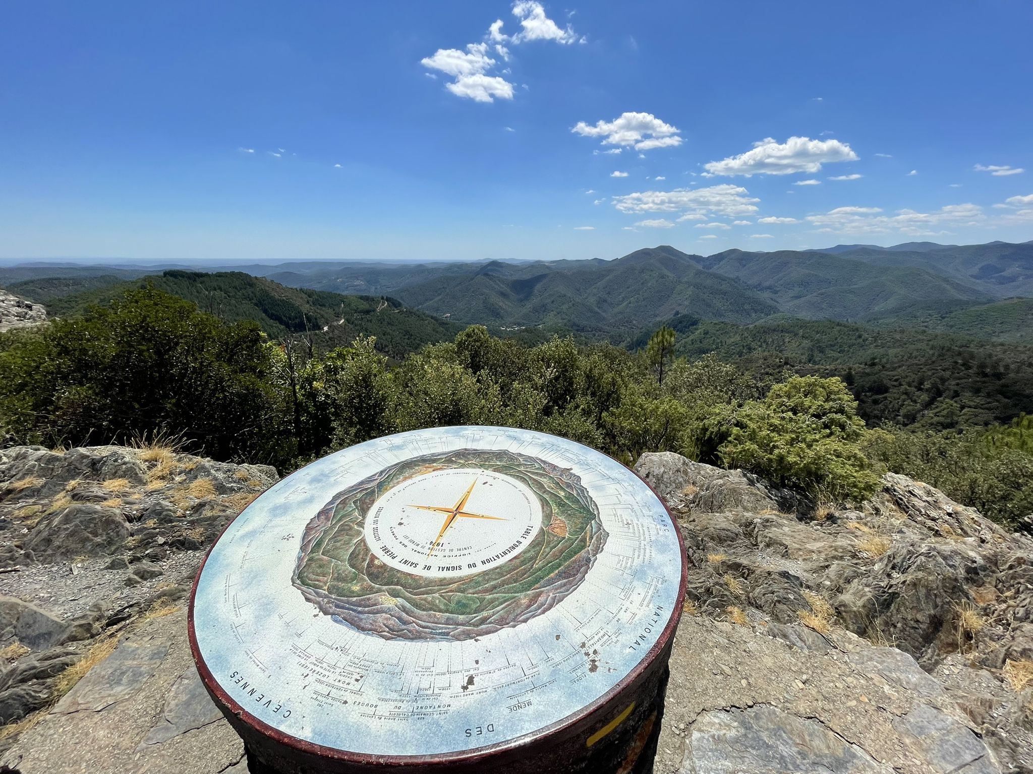
Hike through the Cévennes valleys in France – Chemin Camisard
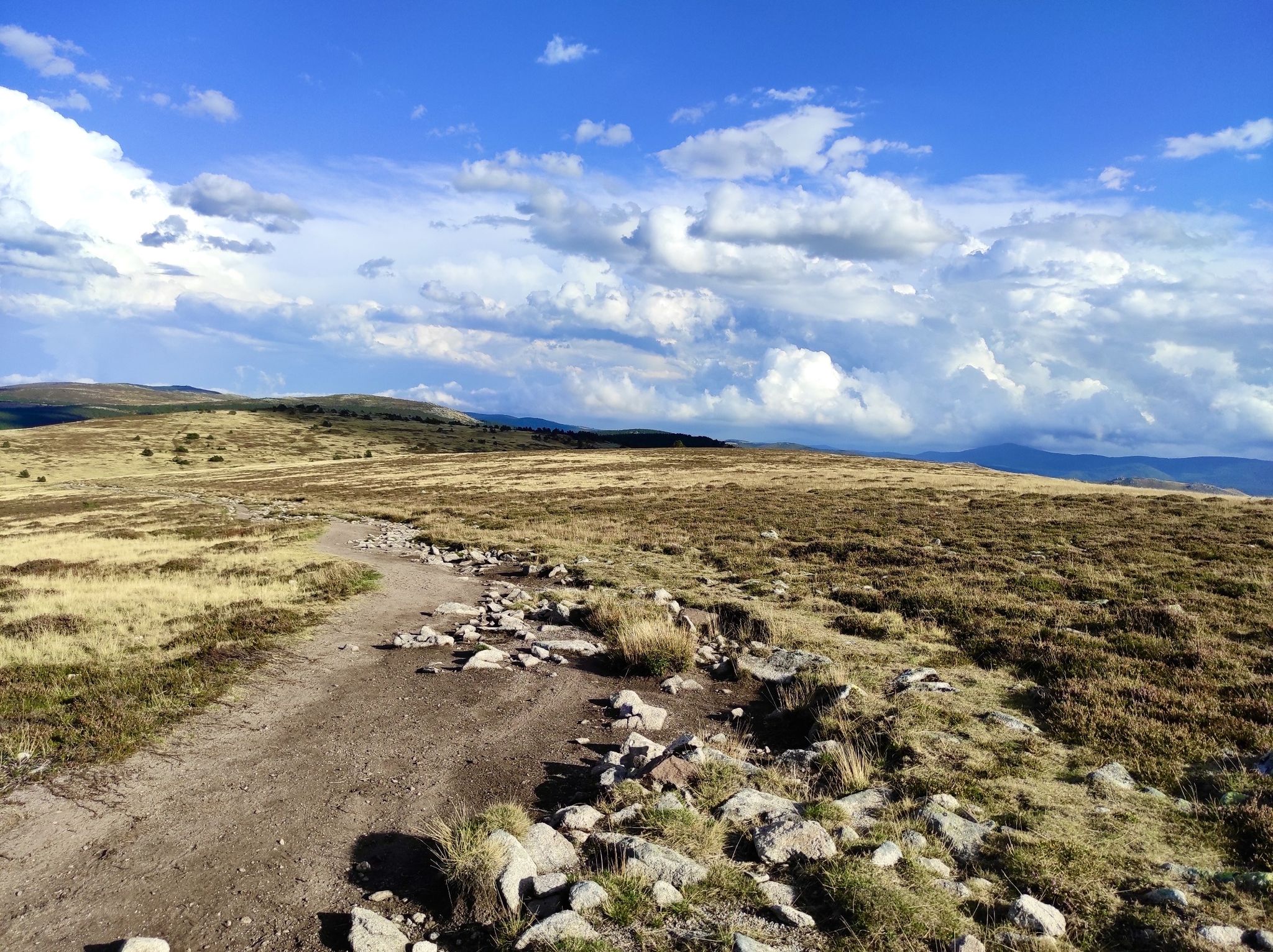
In the footsteps of Modestine — the Stevenson Trail (GR 70)
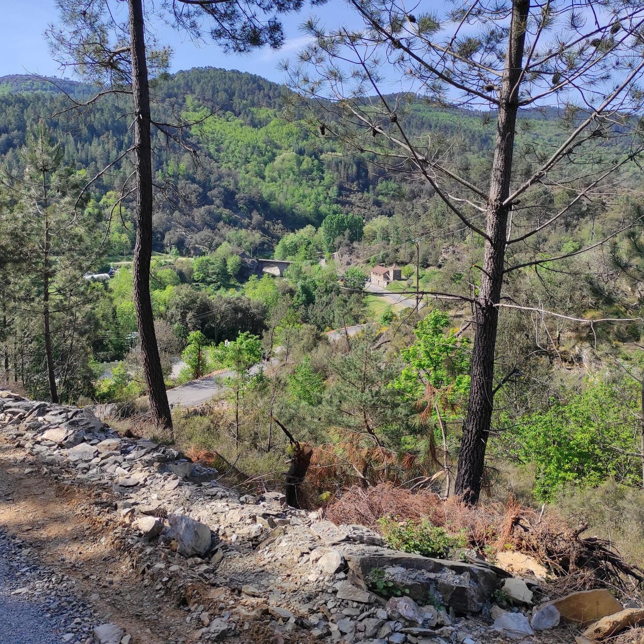
Hiking around Saint-Étienne-Vallée-Française
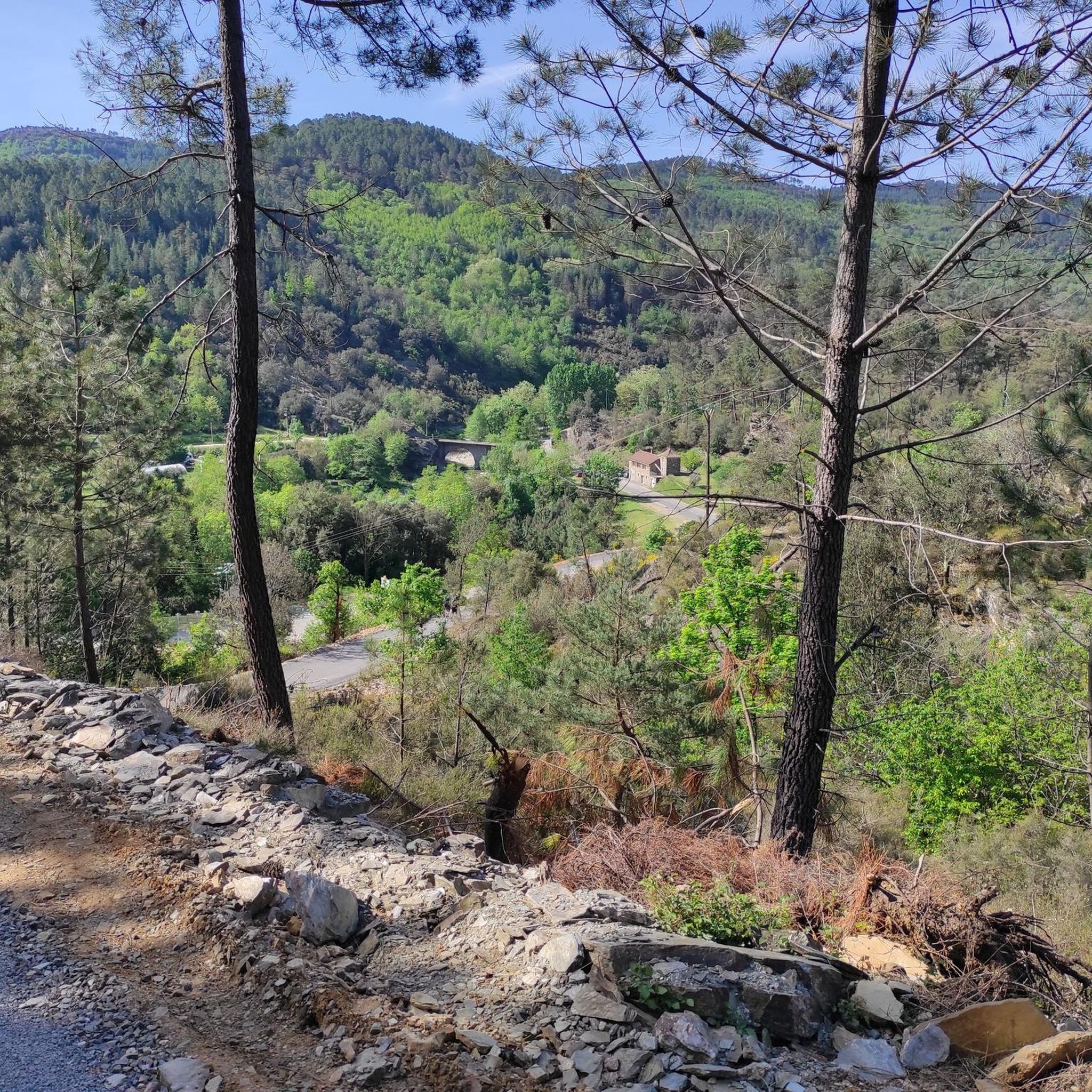
Road Cycling Routes around Saint-Étienne-Vallée-Française
Cycling around Saint-Étienne-Vallée-Française
MTB Trails around Saint-Étienne-Vallée-Française

Gravel biking around Saint-Étienne-Vallée-Française
Other adventures around Saint-Étienne-Vallée-Française

Tips from the Community

to visit Maison Rouge
0
0

An address to spend an incredible night in a converted container: “Le voyageur”! Isabelle at 0638885274.
0
0

Stop for a coffee and breathe the fresh air of the Cévennes
1
0

The Signal Saint-Pierre, a few hundred meters from the Col Saint-Pierre, allows you to contemplate the Cévennes at an altitude of 695m.
0
0
The Pic d'Arbousse offers a magnificent view of the Gardon de Saint-Jean and Gardon de Mialet valleys
0
0
The Signal Saint-Pierre, a few hundred meters from the Col Saint-Pierre, allows you to contemplate the Cévennes at an altitude of 695 meters.
0
0
Frequently Asked Questions
What kind of running terrain can I expect in Saint-Étienne-Vallée-Française?
The region is characterized by the hilly terrain of the Cévennes, winding river valleys, and dense woodlands. You'll find a mix of challenging ascents and more gentle paths, often leading through picturesque villages and natural pools. Expect varied elevation profiles, suitable for different fitness levels.
How many jogging routes are available in Saint-Étienne-Vallée-Française?
There are over 80 running routes around Saint-Étienne-Vallée-Française, offering a wide range of options for runners of all abilities. The komoot community has explored nearly 1000 of these trails.
Are there any easy running routes for beginners in the area?
Yes, while many routes feature significant elevation, there are a few easier options. For instance, the Saint-Jean-du-Gard – Saint-Jean-du-Gard loop from Peyrolles-en-Cévennes is a moderate 7.9 km trail with minimal elevation gain, making it a good choice for those starting out or looking for a less strenuous run.
Which running routes offer the best panoramic views?
For breathtaking views, consider routes that ascend to higher points. The Arbousse Peak loop from Les Poussiels is a challenging 22 km route with over 1000 meters of elevation gain, rewarding runners with panoramic vistas from Arbousse Peak. Another excellent option is the Saint-Pierre Signal loop from Saint-Jean-du-Gard, which leads to the Signal de Saint-Pierre Orientation Table, offering expansive views of the Cévennes hills.
Can I find running routes that pass by natural pools or rivers?
Absolutely! The region's winding river valleys are a key feature. The Abarines Bridge – Gardon de Mialet Natural Pool loop from Les Abarines is a moderate 9.6 km route that takes you past the beautiful Gardon de Mialet Natural Pool, perfect for a refreshing stop.
Are there any circular running routes in Saint-Étienne-Vallée-Française?
Yes, many of the running paths in the region are circular, allowing you to start and finish at the same point. Examples include the moderate Saint-Jean-du-Gard – Saint-Jean-du-Gard loop from Peyrolles-en-Cévennes and the more challenging Col Saint-Pierre loop from Peyrolles-en-Cévennes.
What do other runners say about the trails in Saint-Étienne-Vallée-Française?
The running routes in Saint-Étienne-Vallée-Française are highly rated by the komoot community, with an average score of 4.3 stars from over 30 reviews. Runners often praise the diverse landscapes, the challenging yet rewarding climbs, and the opportunity to explore the natural beauty of the Cévennes.
Are there any notable landmarks or attractions along the running trails?
Yes, several routes pass by interesting points. You might encounter the historic village of Saint-Jean-du-Gard, or pass through areas near the Asclier Pass. For those interested in views, the Signal de Saint-Pierre Orientation Table and Arbousse Peak offer stunning panoramas.
When is the best time of year to go running in Saint-Étienne-Vallée-Française?
Spring and autumn generally offer the most pleasant running conditions, with milder temperatures and beautiful scenery as the foliage changes. Summer can be warm, especially in the valleys, so early morning or late evening runs are recommended. Winter running is possible, but some higher elevation trails might be more challenging due to weather conditions.
Are there options for long-distance or challenging runs?
Definitely. The region is known for its challenging terrain. For experienced runners seeking a significant workout, the Arbousse Peak loop from Les Poussiels is a difficult 22 km route with over 1000 meters of elevation gain. Another demanding option is the Saint-Pierre Signal loop from Saint-Jean-du-Gard, a 16.1 km trail with over 800 meters of ascent.
Is Saint-Étienne-Vallée-Française suitable for trail running?
Yes, the diverse landscape with its hilly terrain, dense woodlands, and varied elevation profiles makes Saint-Étienne-Vallée-Française an excellent destination for trail running. You'll find a good mix of technical sections and smoother paths, catering to different trail running preferences.
Most popular routes around Saint-Étienne-Vallée-Française
Most popular attractions around Saint-Étienne-Vallée-Française

Get inspired with the komoot mobile app


Explore more
Browse the best Running Trails & Routes in other regions.
