The best cycling routes around Area E (Saint Mary/Skookumchuck)
4.9
(17)
225
riders
8
rides
Touring cycling routes around Area E (Saint Mary/Skookumchuck) are situated within the East Kootenays, offering diverse landscapes for outdoor activities. The region is characterized by the Rocky Mountain Trench, providing expansive views of the Rocky and Purcell Mountain ranges. Cyclists can explore routes along the Kootenay River, Lussier River, and various lakes such as Columbia Lake and Wasa Lake, often passing through lush forests and unique ecosystems.
Best touring cycling routes around Area E (Saint Mary/Skookumchuck)
- The most popular touring cycling route is View of the St. Mary River – View of the Highway Bridge loop from Kimberley’s Underground Mining Railway, a 40.6 miles (65.4 km) trail that takes 4 hours 3 minutes to complete. This route offers views of the St. Mary River and the surrounding mountain landscape.
- Another top favourite among local touring cyclists is View of Marysville Falls – View of Mount Fisher loop from Kimberley Riverside Campground, a moderate 17.5 miles (28.1 km) path. This route features scenic views of Marysville Falls and Mount Fisher.
- Local touring cyclists also love the Wasa Lake loop from Wasa Lake Provincial Park, a 5.3 miles (8.5 km) trail leading through Wasa Lake Provincial Park, often completed in about 33 minutes.
- Touring cycling around Area E (Saint Mary/Skookumchuck) is defined by mountain vistas, river valleys, and lakeside paths. The network offers options for different ability levels, from easy loops to more challenging routes with elevation gain.
- The routes in Area E (Saint Mary/Skookumchuck) are highly rated by the komoot community with an average score of 4.9 stars from more than 10 reviews. More than 200 touring cyclists have used komoot to explore Area E (Saint Mary/Skookumchuck)'s varied terrain.
Last updated: June 27, 2026
4.7
(6)
63
riders
Hard bike ride. Very good fitness required. Mostly paved surfaces. Suitable for all skill levels.
5.0
(1)
16
riders
Moderate bike ride. Good fitness required. Mostly paved surfaces. Suitable for all skill levels.

Sign up for free
5.0
(1)
8
riders
8.55km
00:33
30m
30m
Easy bike ride. Great for any fitness level. Mostly paved surfaces. Suitable for all skill levels.
7
riders
15.8km
01:29
290m
290m
Moderate bike ride. Good fitness required. Mostly paved surfaces. Suitable for all skill levels.
6
riders
Hard bike ride. Very good fitness required. Mostly paved surfaces. Suitable for all skill levels.
Get access to more routes and recommendations from other explorers.
Sign up for free
Already have an account?
Our route recommendations are based on thousands of hikes, rides, and runs completed by other people on komoot.
Start today with a free account
Your next adventure awaits.
Login or Signup


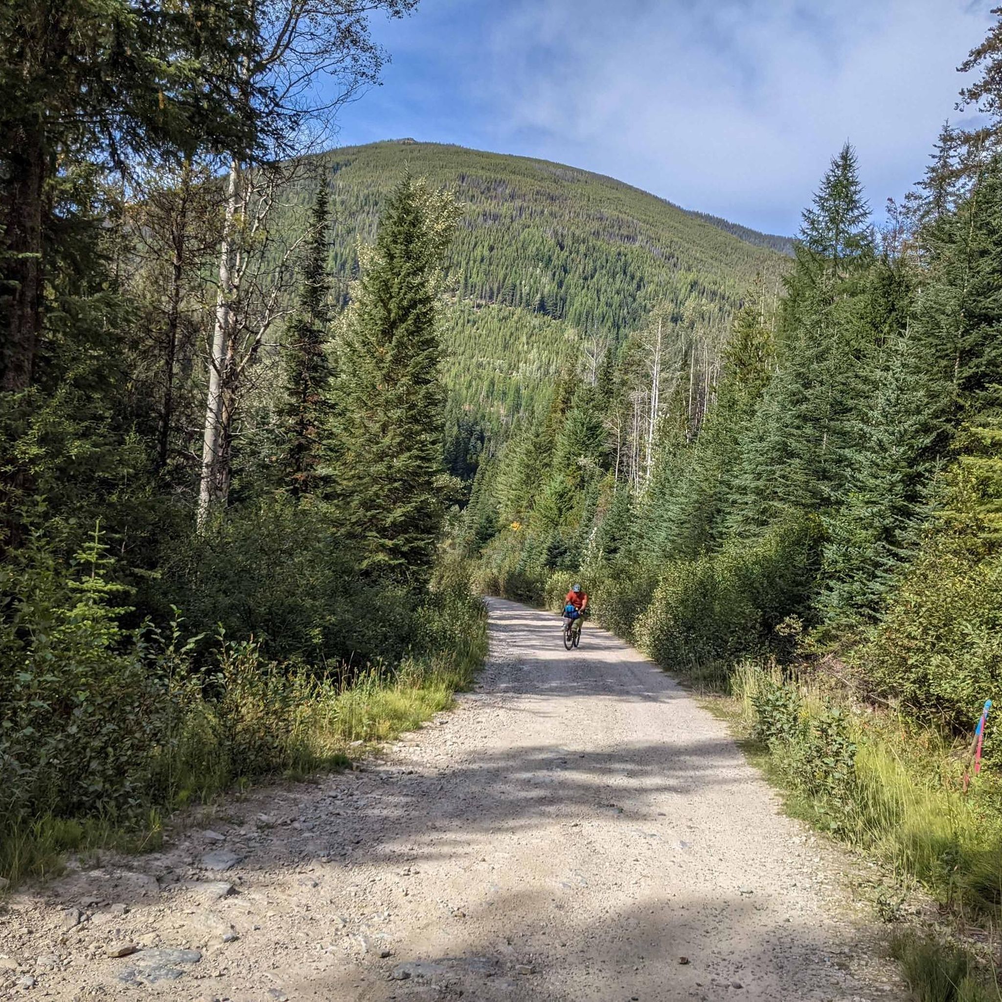
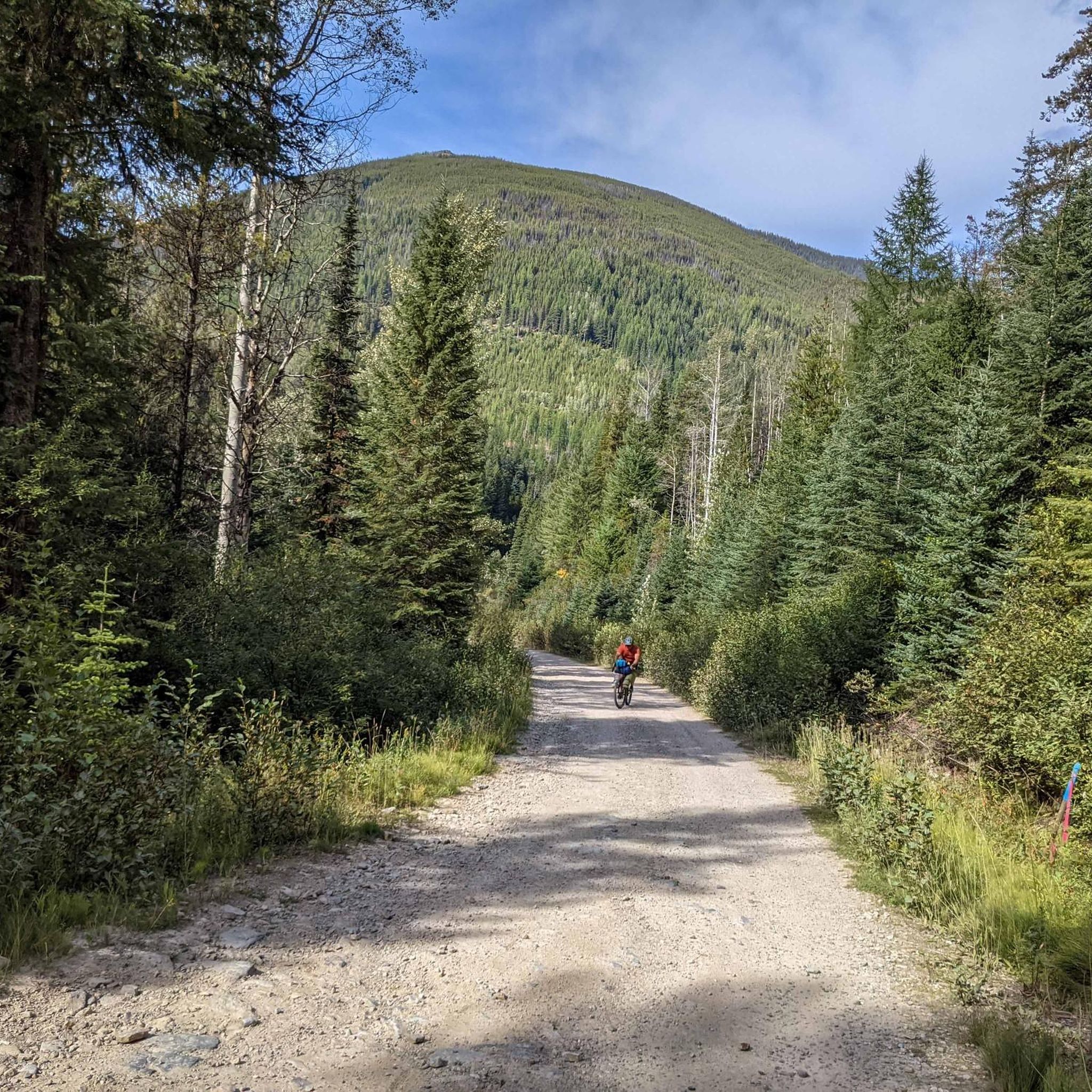
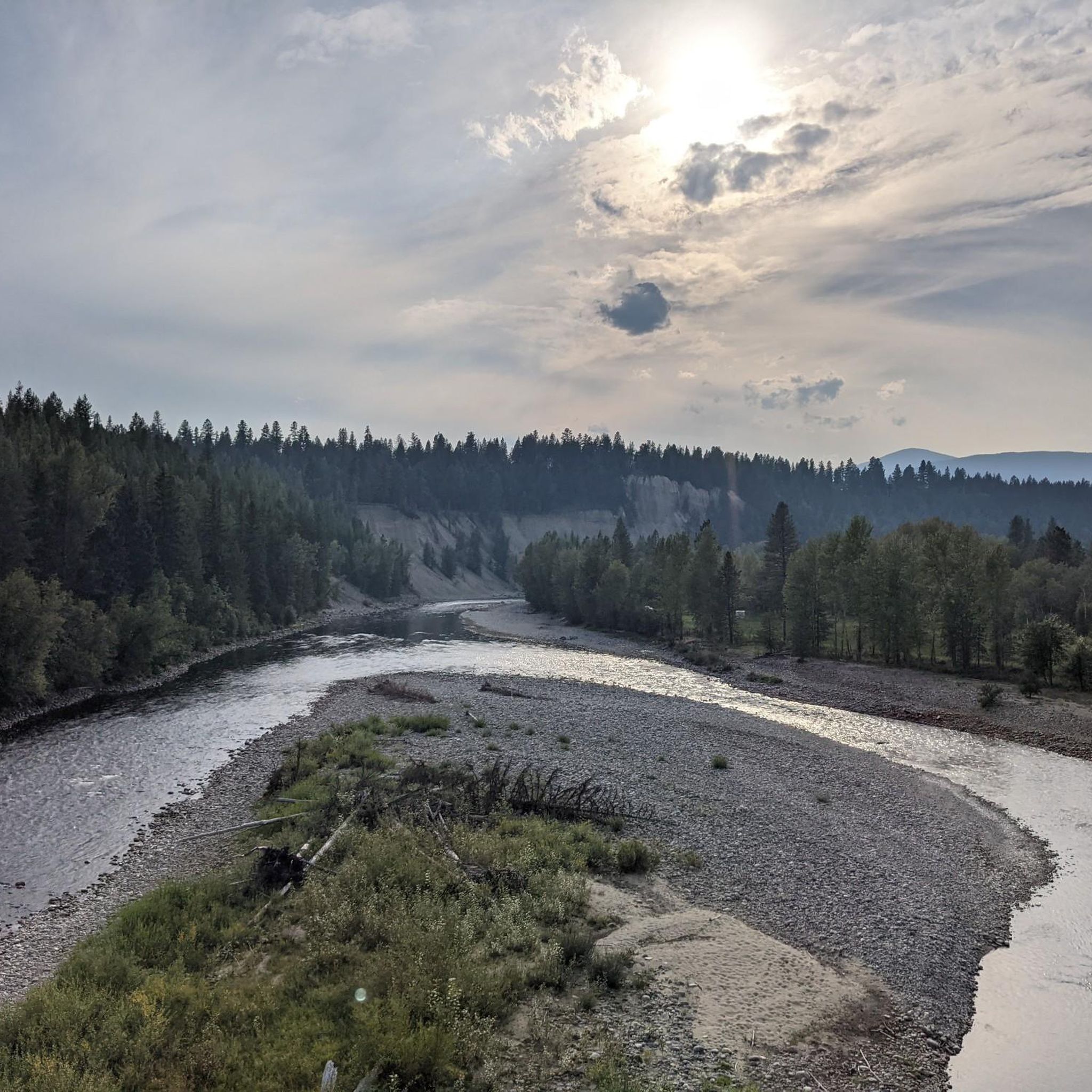
Other adventures around Area E (Saint Mary/Skookumchuck)


Tips from the Community

An asphalted rail trail between Cranbrook and Kimberly, a nice break from gravel!
1
0

Beautiful beach on Lake Wasa, with lots of shade under the trees
0
0
Beautiful view of the Marysville waterfalls
0
0
They have hot showers and laundry. Don't go for the lower level sites, unless you want a steep climb out in the AM.
1
0
Frequently Asked Questions
How many touring cycling routes are available in Area E (Saint Mary/Skookumchuck)?
There are 9 touring cycling routes available in Area E (Saint Mary/Skookumchuck) on komoot, offering a variety of experiences from easy lakeside loops to more challenging mountain vistas.
Are there any easy touring cycling routes suitable for beginners or families in Area E?
Yes, Area E offers several easy routes perfect for beginners or families. A great option is the Wasa Lake loop from Wasa Lake Provincial Park, which is a gentle 5.3-mile (8.5 km) trail through the park, often completed in about 33 minutes. Wasa Lake Provincial Park itself is known for its easy lakeside trail.
What kind of landscapes can I expect to see while cycling in Area E?
Cycling in Area E offers diverse and stunning landscapes. You'll experience expansive views of the Rocky Mountains and Purcell Mountain ranges from the Rocky Mountain Trench, cycle along the Kootenay, Lussier, and St. Mary Rivers, and pass by picturesque lakes such as Columbia Lake and Wasa Lake. The routes often wind through lush forests and unique ecosystems, including areas with ponderosa pines.
Are there any touring cycling routes that feature waterfalls?
Yes, one notable route that features a waterfall is the View of Marysville Falls – View of Mount Fisher loop from Kimberley Riverside Campground. This moderate 17.5-mile (28.1 km) path offers scenic views of Marysville Falls and Mount Fisher, providing a beautiful natural highlight during your ride.
Can I find circular touring cycling routes in Area E?
Absolutely. Many of the touring cycling routes in Area E are designed as loops, allowing you to start and end at the same point. Examples include the View of the St. Mary River – View of the Highway Bridge loop from Kimberley’s Underground Mining Railway and the Wasa Lake loop from Wasa Lake Provincial Park.
What do other touring cyclists say about their experiences in Area E?
The touring cycling routes in Area E are highly regarded by the komoot community, boasting an average score of 4.9 stars from over 17 reviews. Cyclists often praise the stunning mountain vistas, the peaceful river valleys, and the well-maintained lakeside paths that define the region's diverse terrain.
Are there any specific attractions or points of interest along the touring cycling routes?
Yes, several routes pass by or near notable attractions. For instance, the Wasa Lake loop takes you through Wasa Lake Provincial Park, a hub for outdoor activities. Other routes offer views of the St. Mary River and Marysville Falls. The broader region also includes Columbia Lake Provincial Park, known for swimming and boating, and Premier Lake Provincial Park, a key fishing spot.
What is the best time of year for touring cycling in Area E?
While specific seasonal data isn't provided, the East Kootenays generally offer excellent cycling conditions from late spring through early autumn. During these months, the weather is typically mild, and the natural features like lush forests and lakes are at their most vibrant. Always check local weather forecasts before heading out.
Are there any challenging touring cycling routes for experienced riders?
Yes, Area E caters to experienced riders with more challenging routes that include significant elevation gain. For example, the View of the St. Mary River – View of the Highway Bridge loop from Kimberley’s Underground Mining Railway is a difficult 40.6-mile (65.4 km) trail with over 500 meters of elevation gain, offering a rewarding ride through the mountain landscape.
Is there mountain biking available in the East Kootenays, specifically near Area E?
While the komoot guide focuses on touring cycling, the nearby community of Kimberley is well-known for its dedicated mountain biking scene. It offers a range of mountain biking opportunities, including technical climbs, descents, and fast, flowing cross-country trails, complementing the touring cycling options in Area E.
Can I cycle along the St. Mary River?
Yes, the St. Mary River is a prominent feature in the region, and several touring cycling routes offer views of it. A great option is the View of the St. Mary River – View of the Highway Bridge loop from Kimberley’s Underground Mining Railway, which provides extensive views of the river and the surrounding mountain scenery.
What is the difference between Skookumchuck in Area E and Skookumchuck Narrows Provincial Park?
It's important to note that the Skookumchuck in Area E is a small pulp milling town located where the Lussier and Skookumchuck Rivers meet the Kootenay River. This is distinct from the well-known Skookumchuck Narrows Provincial Park, which is famous for its turbulent tidal rapids and marine life on British Columbia's Sunshine Coast. When planning your trip to Area E, you'll be exploring the East Kootenays region.
Most popular routes around Area E (Saint Mary/Skookumchuck)

Get inspired with the komoot mobile app


Explore more
Browse the best Cycling routes in other regions.
