The best mountain hikes around Villar-Loubière
5.0
(6)
36
hikers
2
hikes
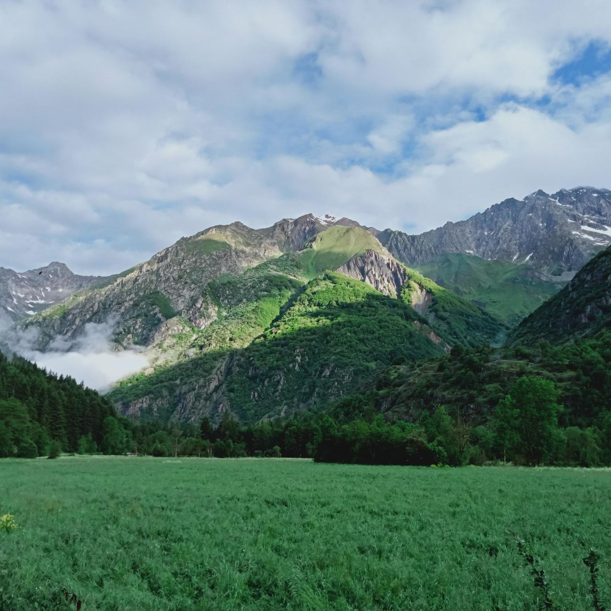
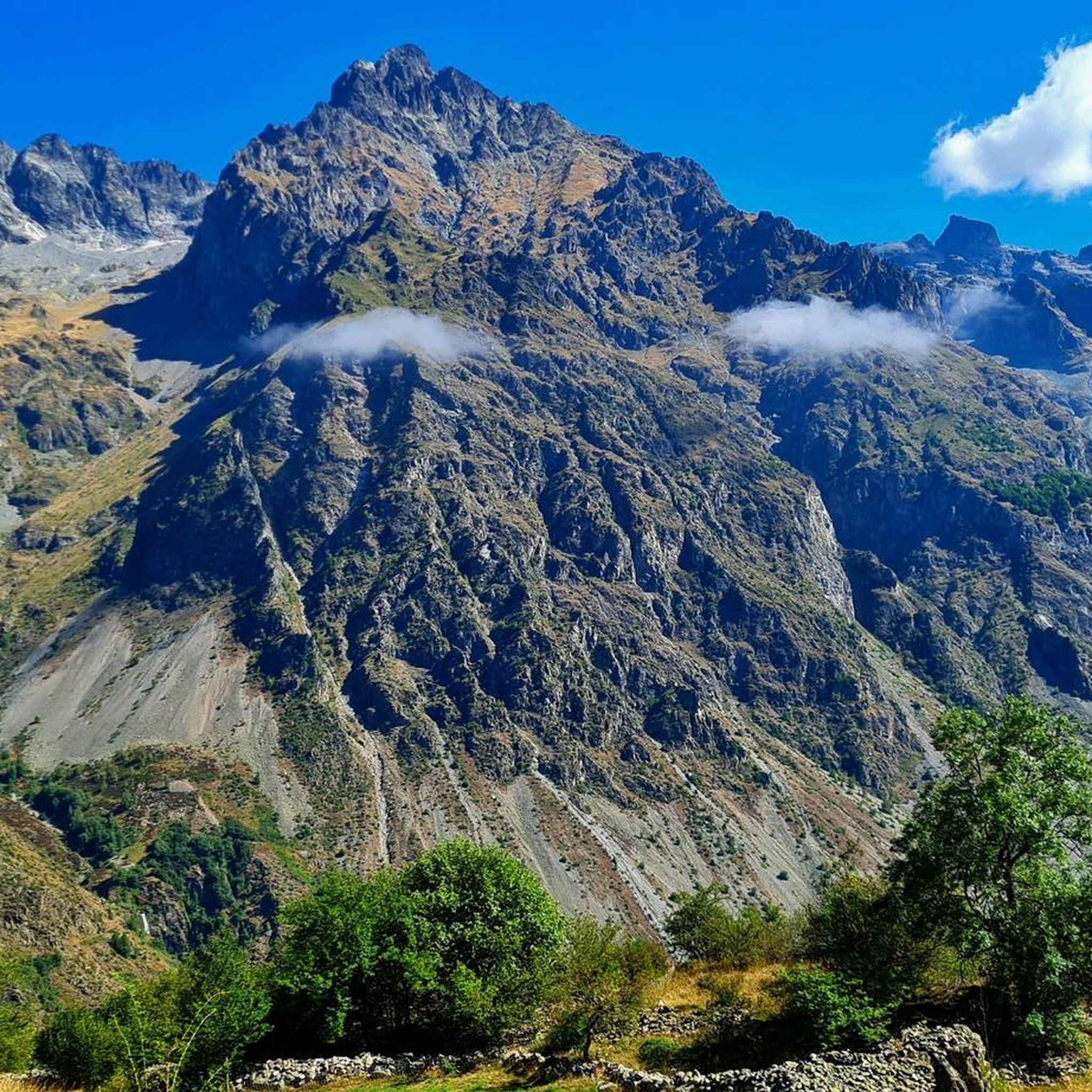
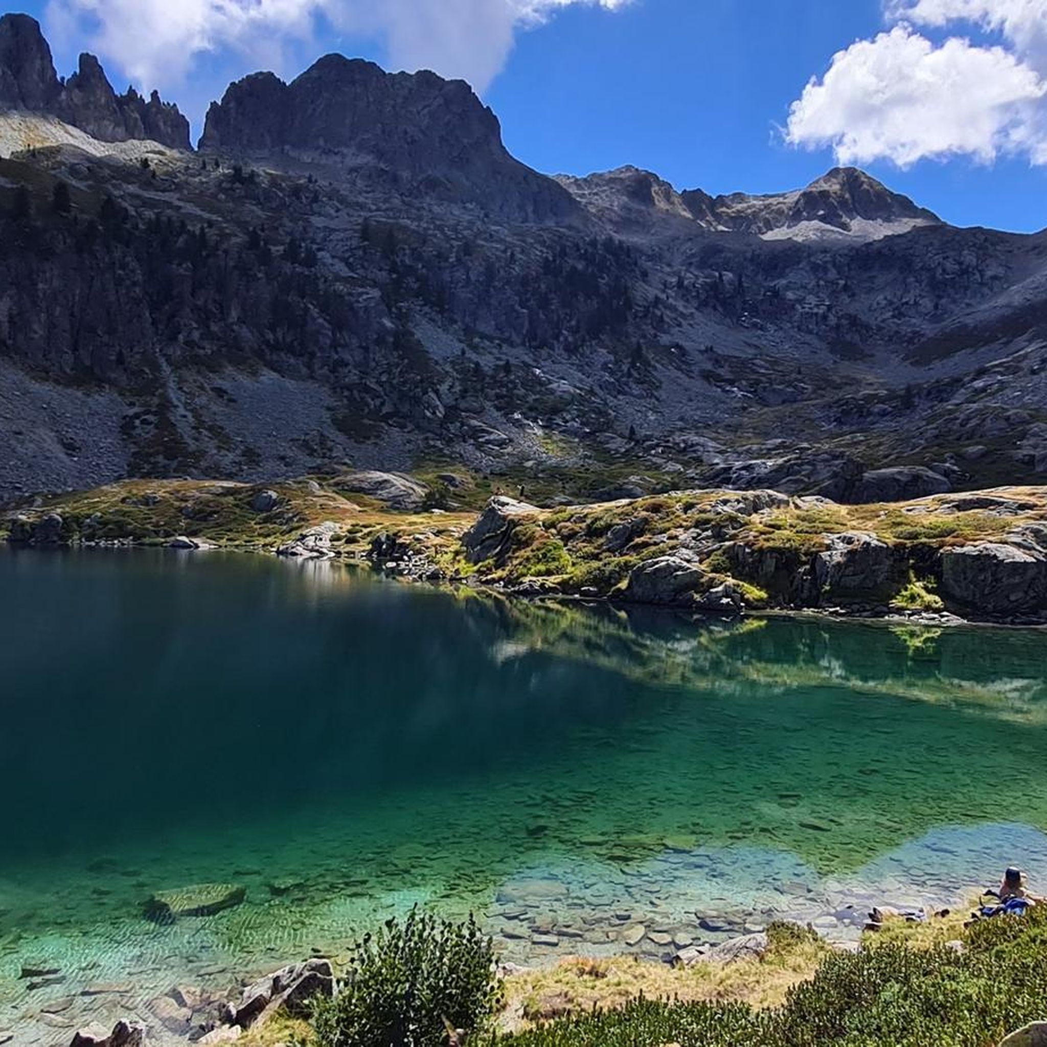
Mountaineering routes around Villar-Loubière are situated within the high valleys of the Écrins National Park, characterized by rugged alpine terrain, glacial features, and pristine mountain lakes. The landscape includes significant elevation changes, with routes often traversing rocky paths, scree slopes, and high-altitude passes. This region offers a challenging environment for experienced mountaineers seeking remote and demanding ascents.
Best mountaineering routes around Villar-Loubière
- The most popular mountaineering route is Lac du Lauzon loop from Réserve naturelle de la haute vallée de…
Last updated: May 26, 2026
5.0
(1)
12
hikers
Hard mountaineering route. Very good fitness required. Mostly accessible paths. Sure-footedness required.
9
hikers
Hard mountaineering route. Very good fitness required. Sure-footedness, sturdy shoes and alpine experience required.

Sign up for free
5.0
(4)
6
hikers
Hard mountaineering route. Very good fitness required. Mostly accessible paths. Sure-footedness required.
5.0
(1)
4
hikers
Hard mountaineering route. Very good fitness required. Sure-footedness, sturdy shoes and alpine experience required.
5
hikers
14.7km
07:10
1,300m
1,310m
Hard mountaineering route. Very good fitness required. Mostly accessible paths. Sure-footedness required.
Our route recommendations are based on thousands of hikes, rides, and runs completed by other people on komoot.
Start today with a free account
Your next adventure awaits.
Login or Signup
Popular around Villar-Loubière
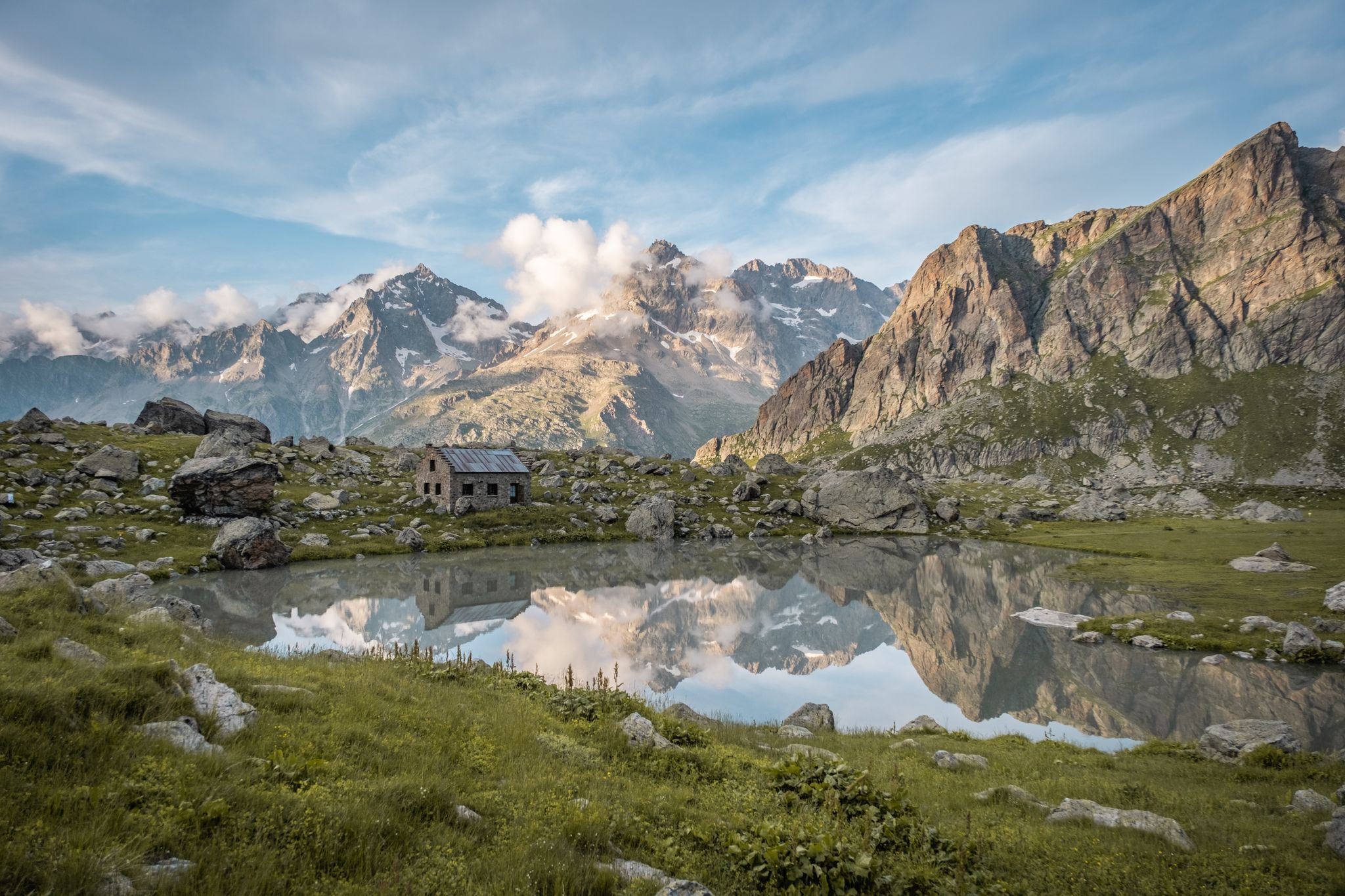
Seven hikes in France’s Southern Alps – refuges and high peaks

Écrins, Belledonne and Vercors – HexaTrek, Hautes-Alpes
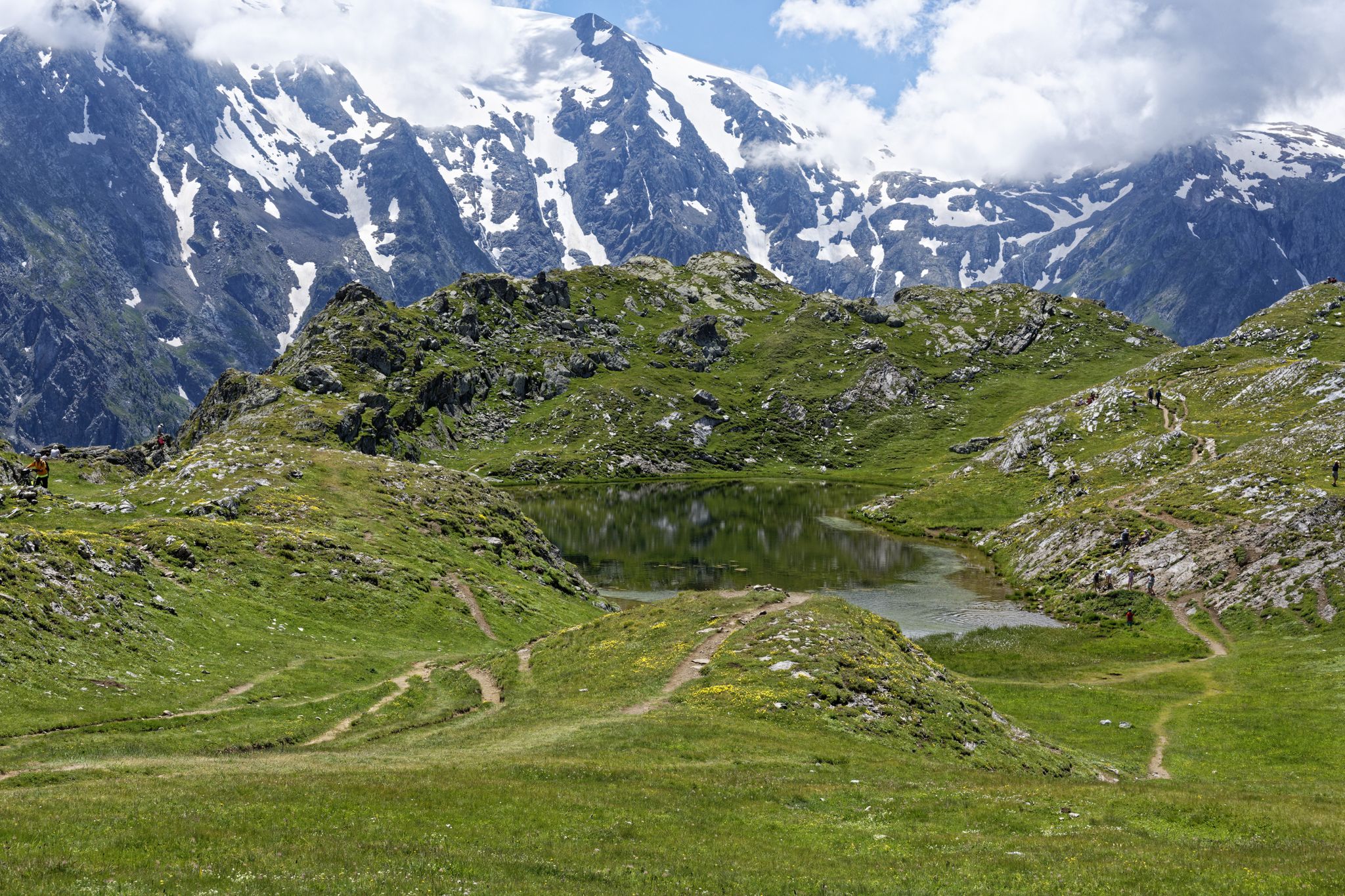
Exploring the Oisans and the Écrins in France — the GR 54
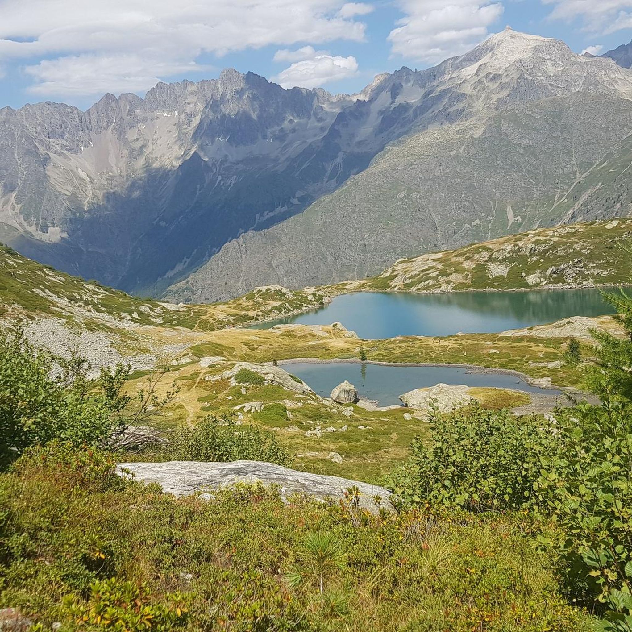
Road Cycling Routes around Villar-Loubière
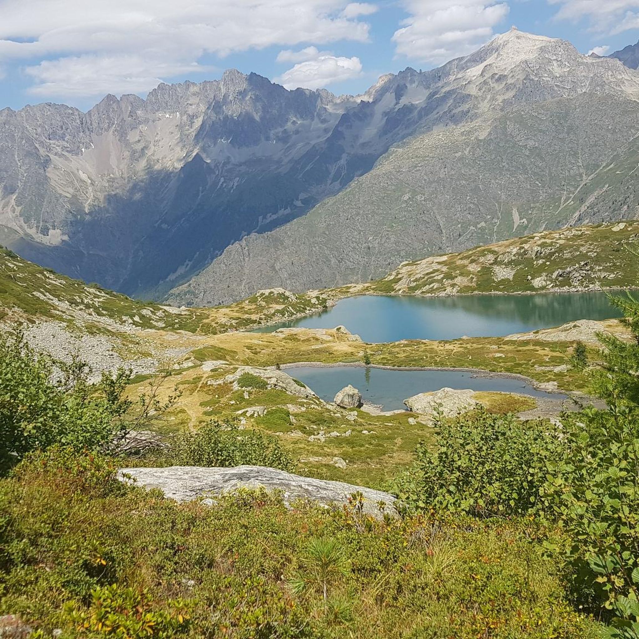
Hiking around Villar-Loubière
MTB Trails around Villar-Loubière
Running Trails around Villar-Loubière
Cycling around Villar-Loubière
Other adventures around Villar-Loubière


Tips from the Community


Just above the hut, there are several beautiful campsites hidden behind some rocks, offering panoramic views of the Sirac. You can camp here and eat at the hut.
0
0

very beautiful accessible valley
0
0


This rustic refuge located at 1,998 meters above sea level is located under the Sirac. The refuge is guarded from the beginning of June to mid-September. It can accommodate up to 40 people.
1
0
Nestled at an altitude of 1,650 meters, the Gioberney refuge is located at the end of the Valgaudemar valley. Its parking lot is often popular with hikers during peak season. The views from the terrace are superb and overlook a beautiful waterfall.
1
0
Frequently Asked Questions
What kind of terrain can I expect on mountaineering routes near Villar-Loubière?
Mountaineering routes in Villar-Loubière are set within the high valleys of the Écrins National Park. You can expect rugged alpine terrain, glacial features, and pristine mountain lakes. The paths often traverse rocky sections, scree slopes, and high-altitude passes, offering a challenging environment.
Are there mountaineering routes suitable for beginners in Villar-Loubière?
While many routes in Villar-Loubière are challenging, there is at least one moderate option. The Lac du Lauzon loop from Réserve naturelle de la haute vallée de la Séveraisse is a 4.1-mile (6.6 km) trail that takes approximately 3 hours to complete, offering a good introduction to the alpine environment.
What is the average duration for mountaineering climbs in Villar-Loubière?
The duration of mountaineering climbs in Villar-Loubière varies significantly based on the route's difficulty and length. For example, the moderate Lac du Lauzon loop takes around 3 hours, while more demanding routes like the Glacier des Rouies – Refuge du Pigeonnier loop can take over 10 hours.
What are some of the more challenging mountaineering routes in Villar-Loubière?
For experienced mountaineers seeking a challenge, routes like the Lac de Vallonpierre loop from Réserve naturelle de la haute vallée de la Séveraisse (8.7 miles / 14.0 km) or the Lac du Lauzon – Refuge du Pigeonnier loop (12.0 km) offer significant elevation gain and sustained effort through high mountain scenery.
Are there any circular mountaineering routes available?
Yes, several routes in Villar-Loubière are circular, allowing you to return to your starting point without retracing your steps. Examples include the Lac du Lauzon loop, the Lac de Vallonpierre loop, and the Glacier des Rouies – Refuge du Pigeonnier loop.
What can I see along the mountaineering routes in Villar-Loubière?
The routes offer stunning natural beauty. You can encounter pristine mountain lakes such as Lacs de Pétarel, and impressive waterfalls like the Waterfall Near Lac de Lauzon or Gioberney Waterfall. Many routes also pass by mountain huts like Refuge du Pigeonnier or Gioberney Refuge, which can serve as rest stops or overnight accommodation.
What is the best time of year for mountaineering in Villar-Loubière?
The best time for mountaineering in Villar-Loubière is typically during the summer months, from late June to early September, when snowmelt has largely cleared the high-altitude passes and trails are more accessible. Always check local conditions and weather forecasts before heading out.
Are there any specific permits required for mountaineering in the Écrins National Park?
While general access to the Écrins National Park is free, certain activities or areas might require specific permits or adherence to regulations, especially for sensitive zones or overnight stays in designated areas. It's always best to check the official Écrins National Park website for the most current information regarding permits and regulations before your trip.
What gear should I bring for mountaineering in Villar-Loubière?
Given the rugged alpine terrain and significant elevation changes, essential gear includes sturdy hiking boots, appropriate layers of clothing for varying weather, rain gear, a map and compass (or GPS device), sufficient water and food, sun protection, and a first-aid kit. For more challenging routes or early/late season trips, ice axe, crampons, and a helmet might be necessary.
What do other mountaineers enjoy most about the routes in Villar-Loubière?
The mountaineering routes around Villar-Loubière are highly rated by the komoot community, with an average score of 4.9 stars. Reviewers often praise the stunning high mountain scenery, the pristine alpine lakes, and the challenging yet rewarding nature of the trails within the Écrins National Park.
Are there any secluded mountaineering routes or hidden gems in Villar-Loubière?
The Écrins National Park is known for its remote and wild character, offering many opportunities for solitude. Routes like the Refuge de Chabournéou loop from Réserve naturelle de la haute vallée de la Séveraisse, while challenging, lead through less frequented areas, providing a sense of wilderness and tranquility away from more popular spots.
Most popular attractions around Villar-Loubière

Get inspired with the komoot mobile app


Explore more
Browse the best Mountain Hikes & Routes in other regions.
