The best running trails around Villar-Loubière
4.5
(2)
343
runners
26
runs
Jogging around Villar-Loubière offers access to a diverse natural environment within the Valgaudemar Valley and near Ecrins National Park. The region features a landscape transitioning from fertile valley floors along the Séveraisse river to magnificent mountainous cirques and high-altitude meadows. Joggers can find routes that traverse forests, scree, and challenging ascents, providing varied terrain for all levels of running. This area is characterized by its dramatic natural backdrops, including towering gorges and steep rock faces.
Best jogging routes around Villar-Loubière
…Last updated: May 26, 2026
5.0
(1)
53
runners
19.0km
03:50
1,380m
1,380m
Hard run. Very good fitness required. Sure-footedness, sturdy shoes and alpine experience required.
23
runners
Hard run. Very good fitness required. Mostly paved surfaces. Suitable for all skill levels.

Sign up for free
16
runners
19.7km
03:52
1,380m
1,390m
Hard run. Very good fitness required. Sure-footedness, sturdy shoes and alpine experience required.
21
runners
9.47km
01:01
90m
90m
Moderate run. Good fitness required. Mostly paved surfaces. Suitable for all skill levels.
11
runners
20.6km
04:02
1,440m
1,440m
Hard run. Very good fitness required. Sure-footedness, sturdy shoes and alpine experience required.
Get access to more routes and recommendations from other explorers.
Sign up for free
Already have an account?
Our route recommendations are based on thousands of hikes, rides, and runs completed by other people on komoot.
Start today with a free account
Your next adventure awaits.
Login or Signup
Popular around Villar-Loubière
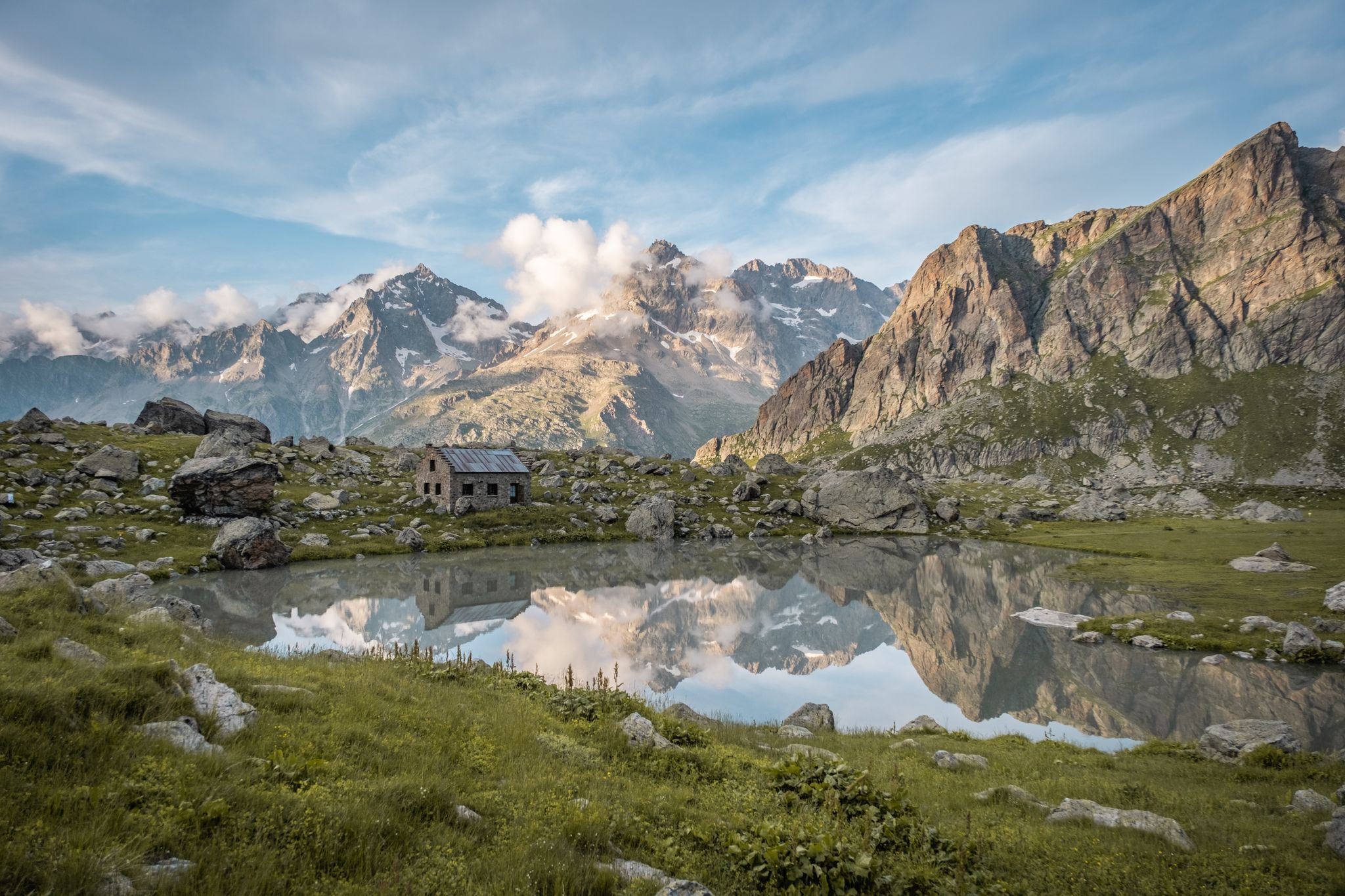
Seven hikes in France’s Southern Alps – refuges and high peaks

Écrins, Belledonne and Vercors – HexaTrek, Hautes-Alpes
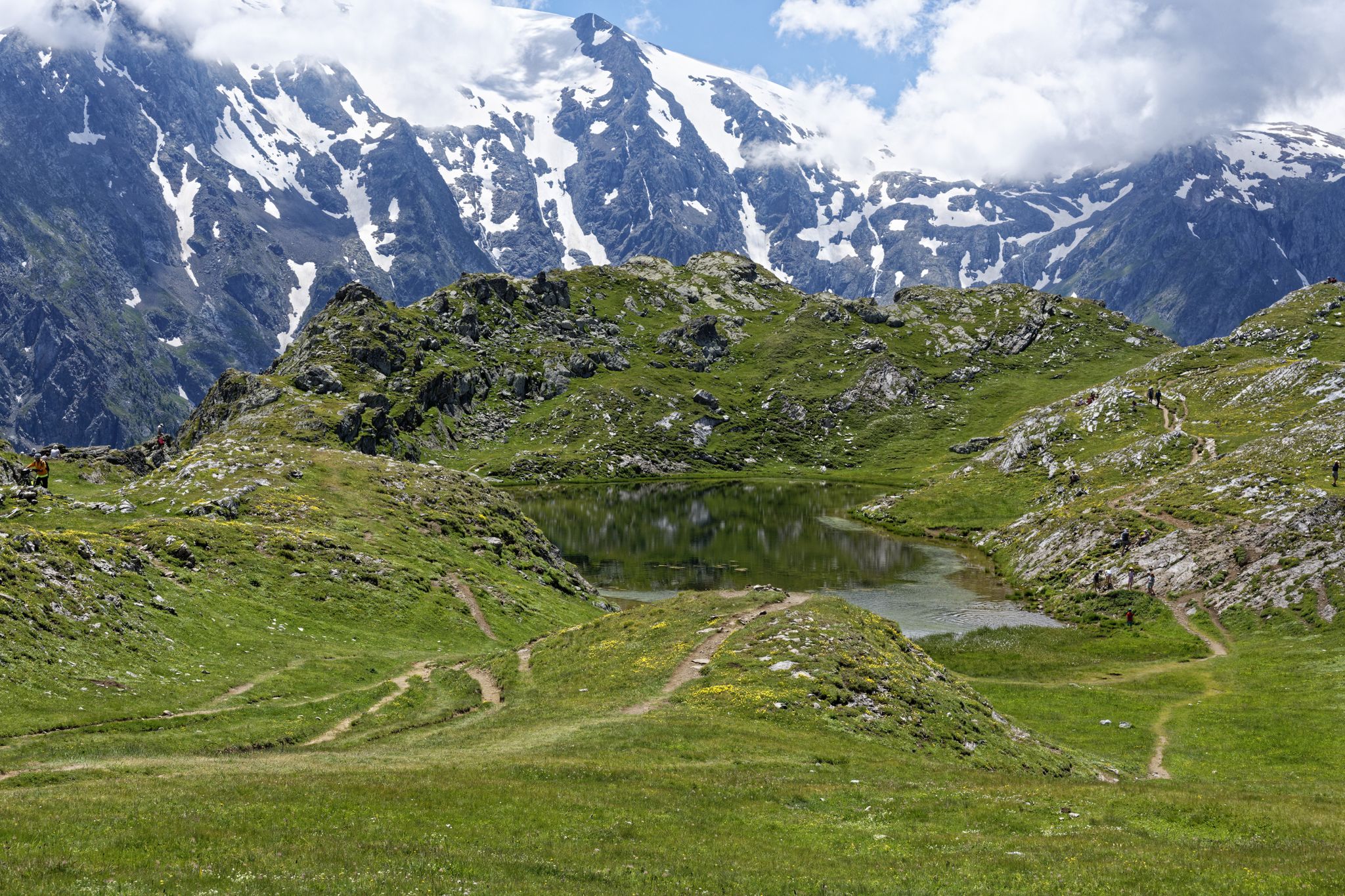
Exploring the Oisans and the Écrins in France — the GR 54
Road Cycling Routes around Villar-Loubière
Hiking around Villar-Loubière
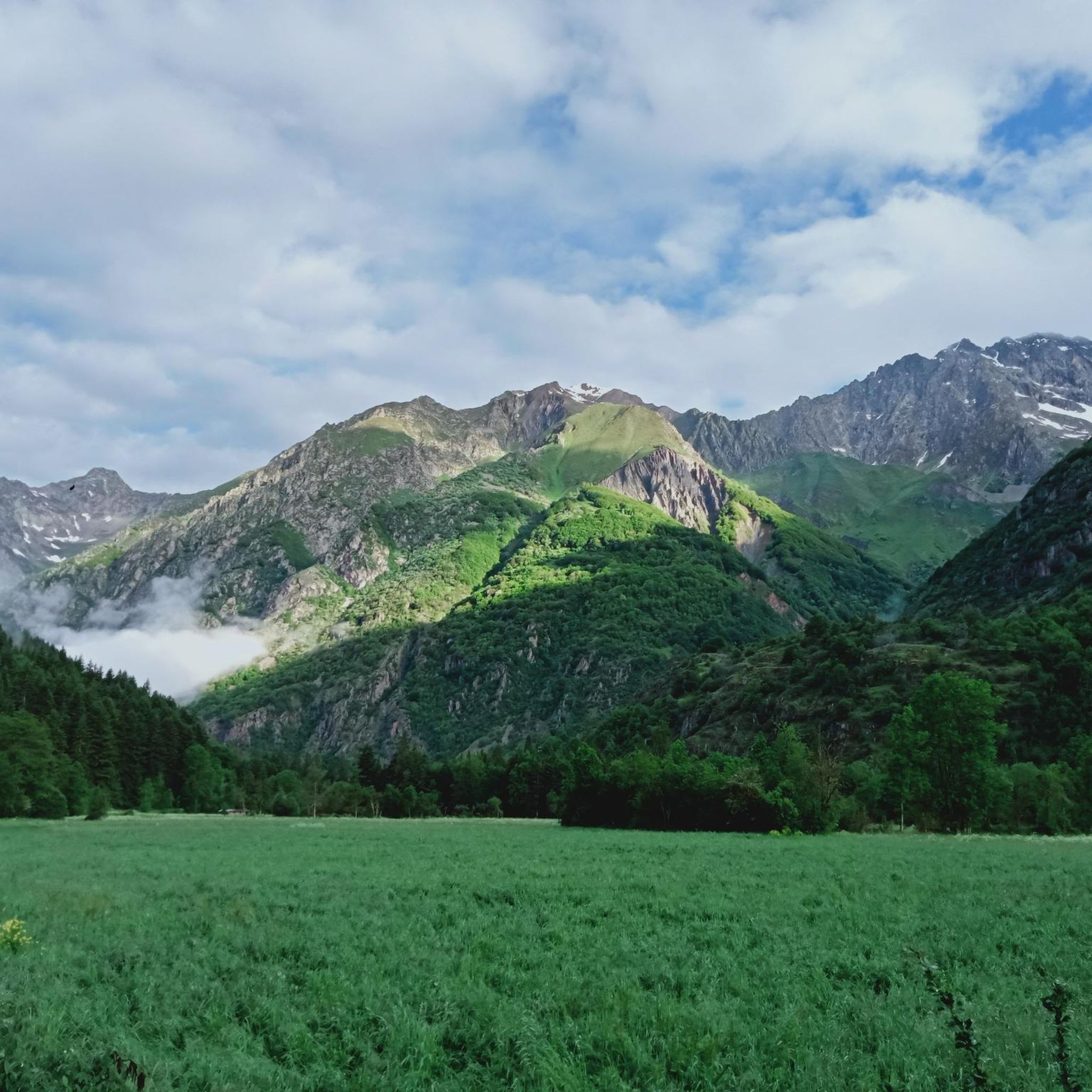
MTB Trails around Villar-Loubière
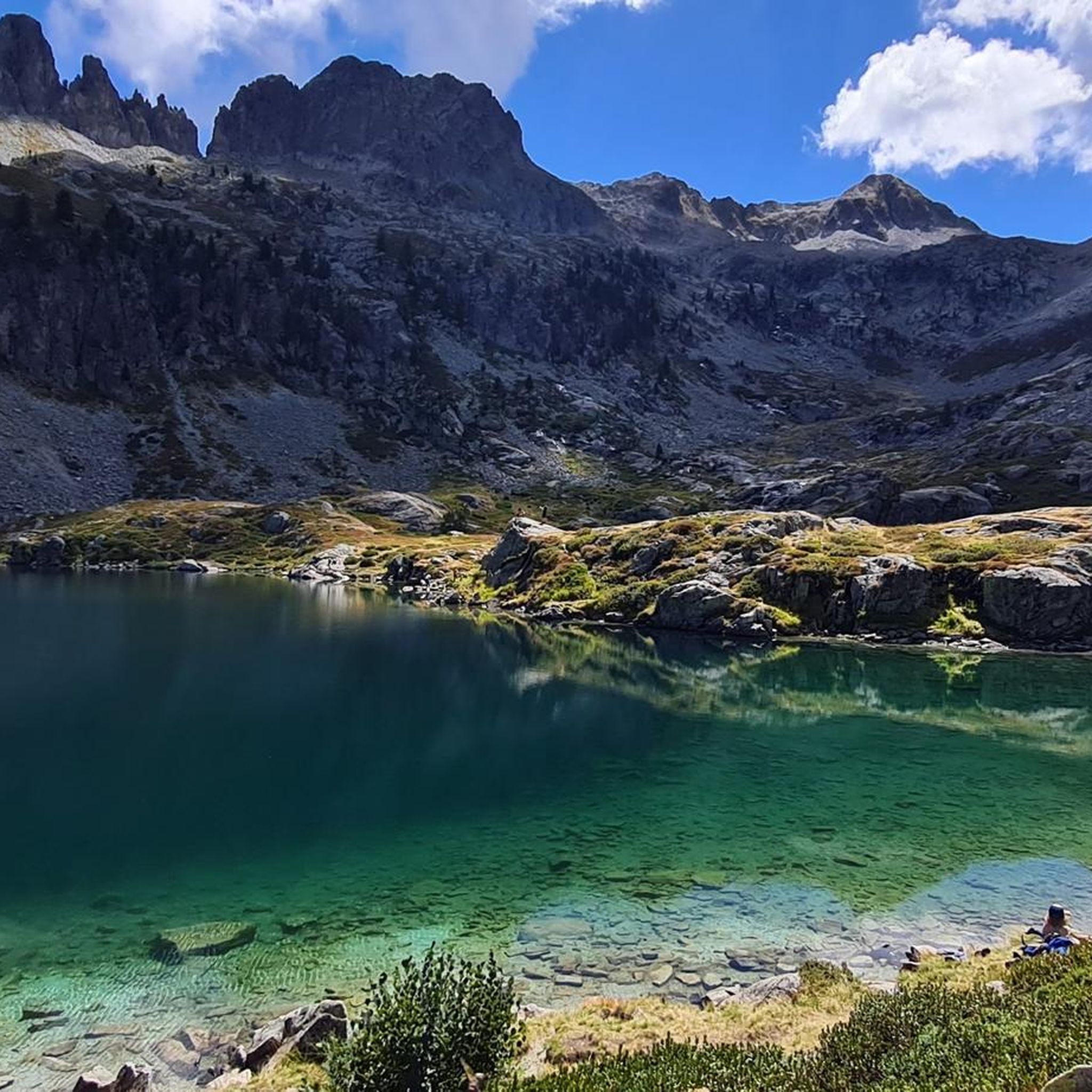
Cycling around Villar-Loubière
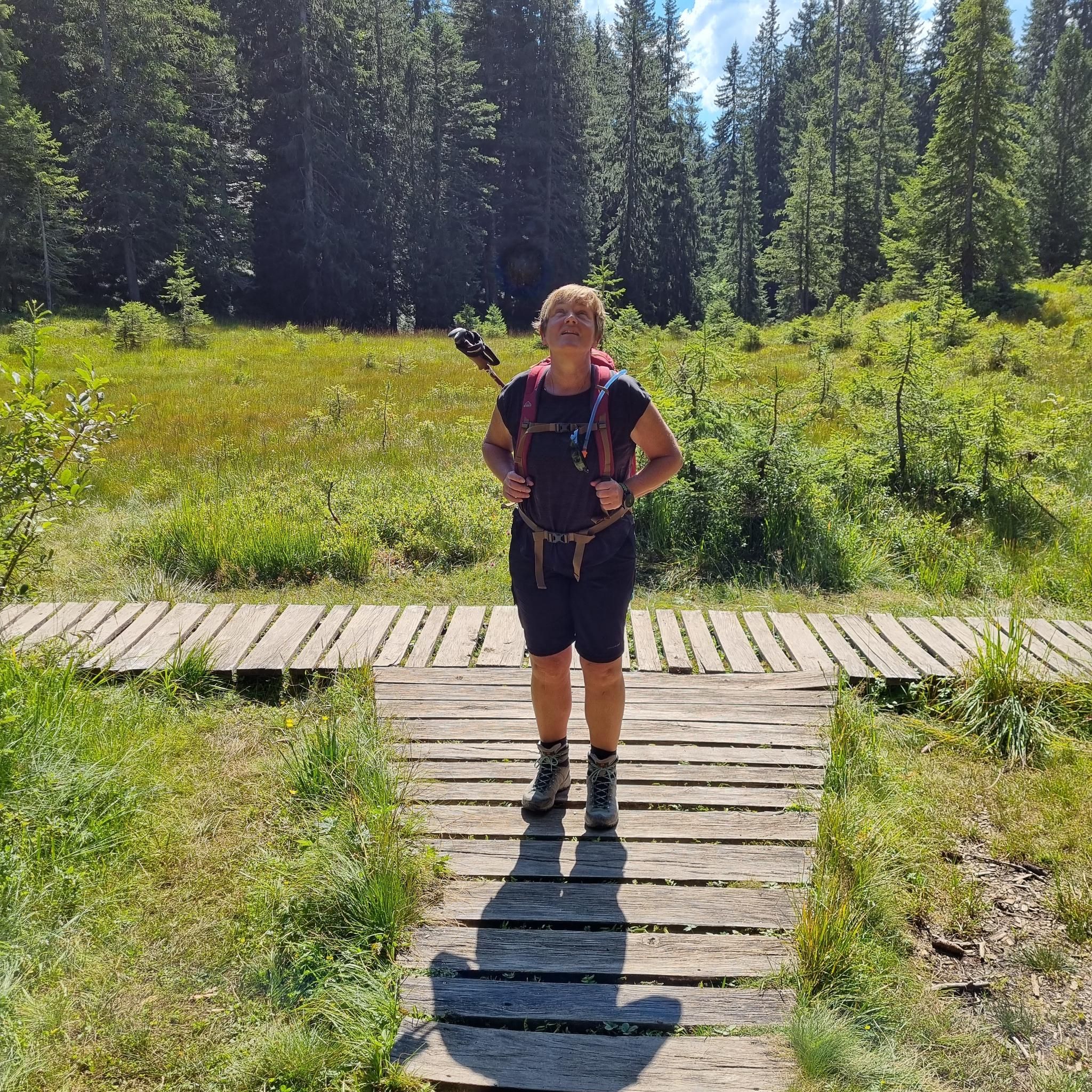
Mountain Hikes around Villar-Loubière
Other adventures around Villar-Loubière


Tips from the Community

The sweet package (pastry, tea and hot shower) for €10 is perfect
0
0

This stone bridge, crossing a quiet stream, is surrounded by green hills and dense forests. If you want to take a break and dip your feet in the water, this is the perfect place!
0
0

Villar-Loubière is a small picturesque village located above the Séveraisse. The village is overlooked by the Chastelas cliff. It is the entry point to the high peaks of Valgaudemar.
0
0

It is nice to see such an old watermill. You can even go inside where they have displayed some old machinery which were used to make flour and oil from nuts and seeds
1
0

We did the tour in mid-May 2023 and unfortunately we couldn't get through to the lakes due to the snow. You could have guessed, now we're smarter :) I'll be back some other time, the tour looks fantastic!
0
0

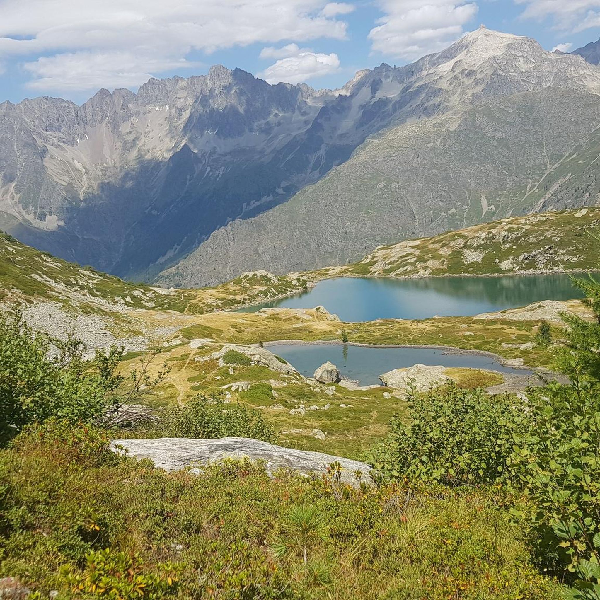
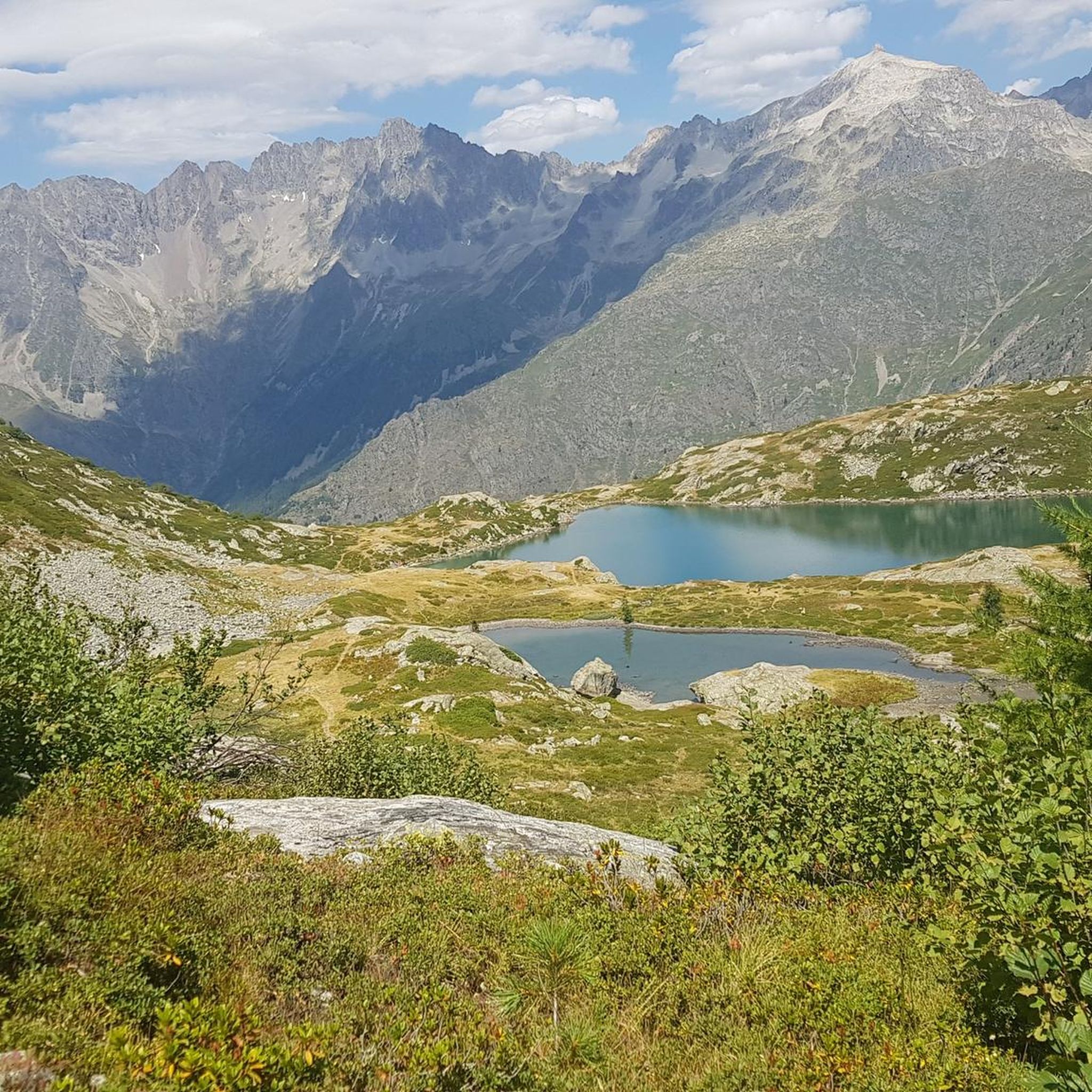
Pretty mountain lakes just below the Col de Pétarel. They offer stunning colors and views!
0
0
The Pétarel lakes are located at 2,090 meters perched on a plateau. The lakes are absolutely stunning in color with the Valgaudemar valley and its peaks in the background.
0
0
The Col de Pétarel is located at an altitude of 2,450 meters. From the pass there is a splendid view of the lakes and peaks of Valgaudemar.
0
0
Frequently Asked Questions
How many running routes are available around Villar-Loubière?
There are nearly 30 dedicated running routes around Villar-Loubière, offering a wide range of options for all skill levels. These include 1 easy route, 10 moderate routes, and 17 difficult routes, ensuring a suitable challenge for every runner.
Are there any easy or beginner-friendly running routes in Villar-Loubière?
Yes, for those seeking an easier run, there is one designated easy route. Additionally, there are 10 moderate routes that provide a good balance of challenge and accessibility, perfect for those looking to progress beyond beginner trails. A good moderate option is the Villar-Loubière – The Chapel of Valgaudemar loop from Villar-Loubière, which is about 9.3 km long.
What kind of terrain can I expect on the running trails around Villar-Loubière?
The terrain around Villar-Loubière is incredibly diverse, transitioning from fertile valley floors along the Séveraisse river to magnificent mountainous cirques and high-altitude meadows. You can expect to run through forests, over scree, and tackle challenging ascents, with dramatic natural backdrops including towering gorges and steep rock faces. The area is situated within the scenic Valgaudemar Valley and close to the Ecrins National Park, offering varied landscapes.
Are there any circular running routes in the area?
Yes, many of the running routes around Villar-Loubière are circular, allowing you to start and finish in the same location. Examples include the challenging Lacs de Pétarel loop from Villar-Loubière and the scenic Lac Lautier – Col de Colombes loop from Villar-Loubière.
What are some scenic viewpoints or natural attractions I can see along the running routes?
The region is rich in natural beauty. Many routes offer stunning views, such as the View of the Araches. You can also encounter beautiful lakes like Lacs de Pétarel, which are featured on several challenging routes. The abandoned village of Les Pennes also offers panoramic views over the Valgaudemar valley.
Are there any waterfalls I can visit while running near Villar-Loubière?
Yes, the area boasts several beautiful waterfalls. You might encounter the Waterfall Near Lac de Lauzon, the Bridal Veil Waterfall, or the impressive Gioberney Waterfall, depending on your chosen route.
What do other runners say about the trails in Villar-Loubière?
The running trails in Villar-Loubière are highly regarded by the komoot community, with an average rating of 4.7 out of 5 stars from over 3 reviews. Runners often praise the diverse terrain and the stunning natural landscapes of the Valgaudemar Valley and the proximity to Ecrins National Park.
When is the best time of year for trail running in Villar-Loubière?
The summer and shoulder seasons (May, June, September, and often October) are particularly beautiful and ideal for exploring the natural wonders of Villar-Loubière and the Valgaudemar Valley. The weather during these months is generally favorable for trail running, allowing you to fully enjoy the high mountain environment.
Are there any mountain refuges along the running routes for longer adventures?
Yes, for longer and more strenuous runs, trails lead to several mountain refuges. You could aim for destinations like Refuge des Souffles, Gioberney Refuge, or Lavey Refuge, which can serve as destination points or rest stops on multi-day trail running experiences.
Can I bring my dog on the running trails in Villar-Loubière?
While many trails in the Valgaudemar Valley are dog-friendly, it's important to note that Villar-Loubière is close to the Ecrins National Park. Within the core zone of the National Park, dogs are generally not permitted, even on a leash, to protect wildlife. Always check local regulations for specific trails, especially those entering or bordering protected areas.
Are there any particularly challenging routes for experienced trail runners?
Absolutely. Villar-Loubière is an excellent base for challenging trail runs. Routes like the Lacs de Pétarel – The Pont des Oules loop from La Chapelle-en-Valgaudémar, an 19 km trail with extensive climbs, or the 22.6 km Lacs de Pétarel loop from Villar-Loubière, offer significant elevation gain and lead through demanding alpine landscapes.
What are the typical distances of running routes in this region?
The running routes around Villar-Loubière vary significantly in distance. You can find shorter moderate routes around 9-10 km, such as the Villar-Loubière – The Chapel of Valgaudemar loop from Villar-Loubière. For more challenging runs, distances often range from 19 km to over 22 km, like the Lacs de Pétarel loop from Villar-Loubière.
Most popular attractions around Villar-Loubière

Get inspired with the komoot mobile app


Explore more
Browse the best Running Trails & Routes in other regions.
