The best cycling routes around Villar-Loubière
4.6
(9)
225
riders
22
rides
Touring cycling around Villar-Loubière offers routes through the Valgaudemar Valley, characterized by a mountainous cirque and impressive peaks. The region features a contrast between forest-covered slopes and sunny agricultural lands, bordering the Écrins National Park. Cyclists can explore varied terrain, including forest pathways and routes alongside rivers. This area provides a backdrop for cyclists seeking both challenge and scenic beauty within the Hautes-Alpes department.
Best touring cycling routes around Villar-Loubière
- The most popular touring cycling route is Valgo – Fountain…
Last updated: May 20, 2026
5.0
(2)
25
riders
76.1km
05:05
1,140m
1,140m
Hard bike ride. Very good fitness required. Mostly paved surfaces. Suitable for all skill levels.
5.0
(1)
47
riders
49.7km
03:31
900m
900m
Hard bike ride. Very good fitness required. Mostly paved surfaces. Suitable for all skill levels.

Sign up for free
5.0
(2)
39
riders
Hard bike ride. Very good fitness required. Mostly paved surfaces. Suitable for all skill levels.
5.0
(1)
14
riders
39.2km
02:43
730m
740m
Hard bike ride. Very good fitness required. Mostly paved surfaces. Suitable for all skill levels.
12
riders
66.5km
04:41
1,230m
1,230m
Hard bike ride. Very good fitness required. Mostly paved surfaces. Suitable for all skill levels.
Get access to more routes and recommendations from other explorers.
Sign up for free
Already have an account?
Our route recommendations are based on thousands of hikes, rides, and runs completed by other people on komoot.
Start today with a free account
Your next adventure awaits.
Login or Signup
Popular around Villar-Loubière
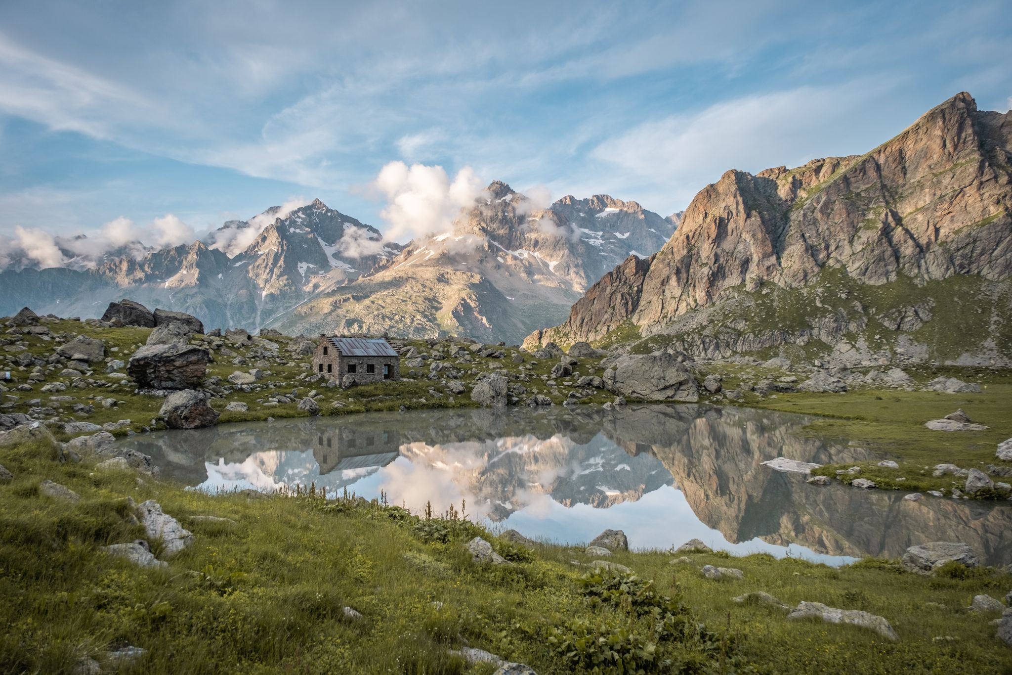
Seven hikes in France’s Southern Alps – refuges and high peaks

Écrins, Belledonne and Vercors – HexaTrek, Hautes-Alpes
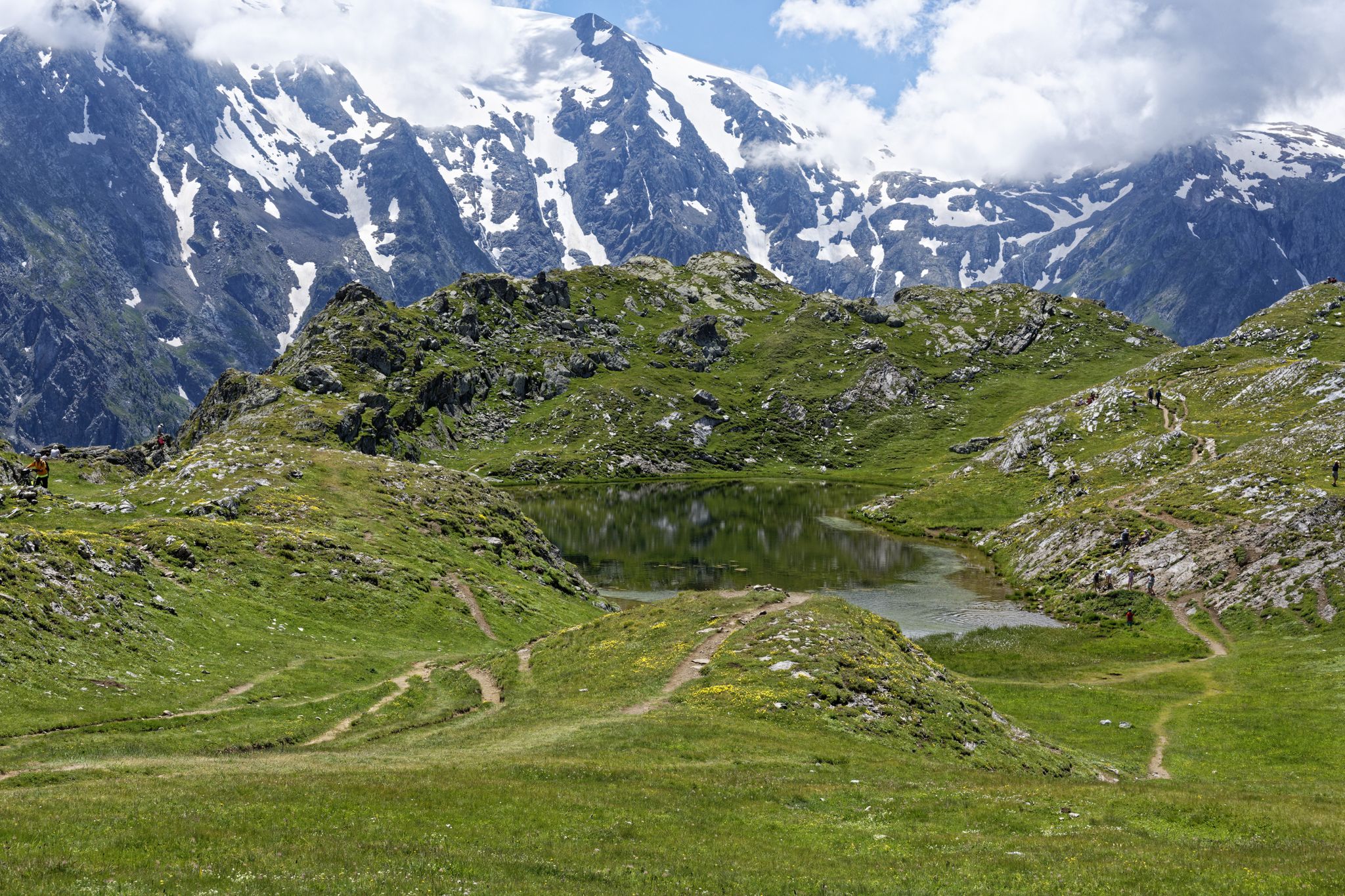
Exploring the Oisans and the Écrins in France — the GR 54
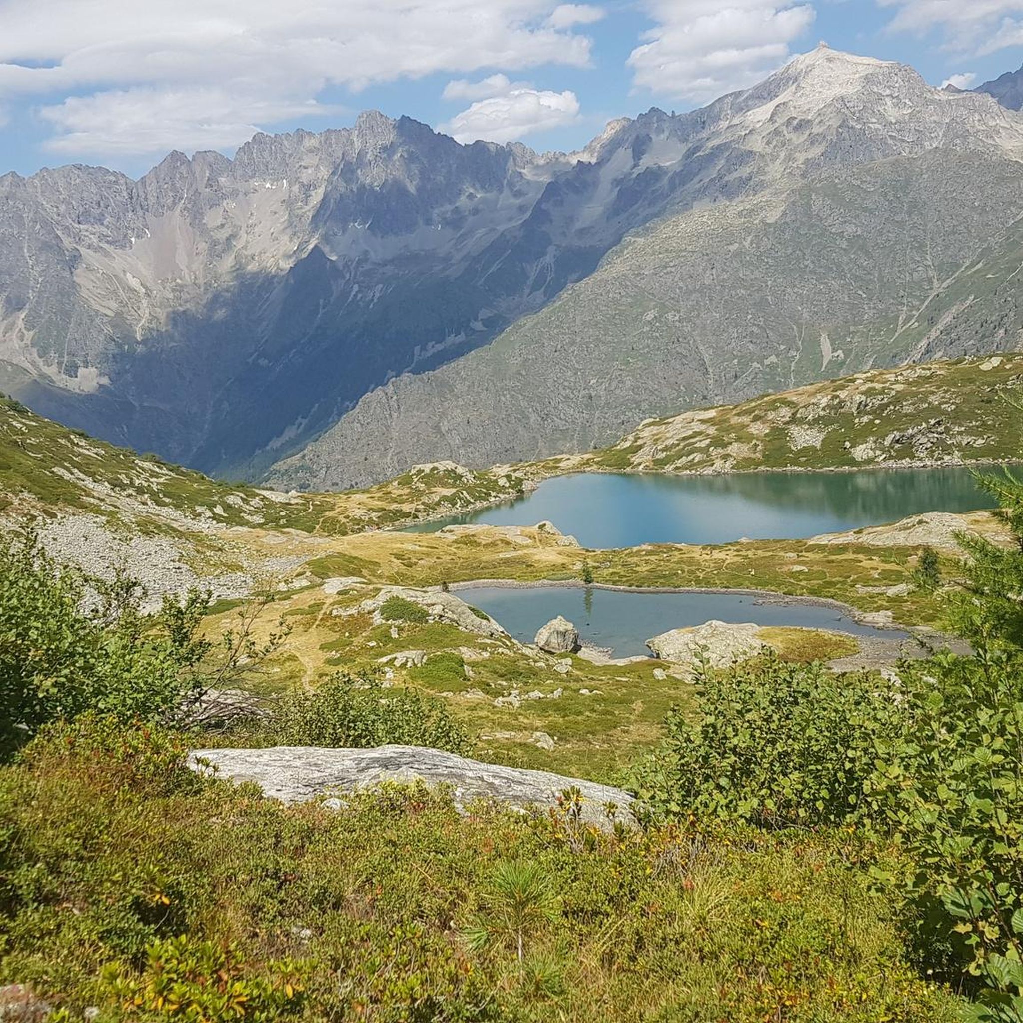
Road Cycling Routes around Villar-Loubière
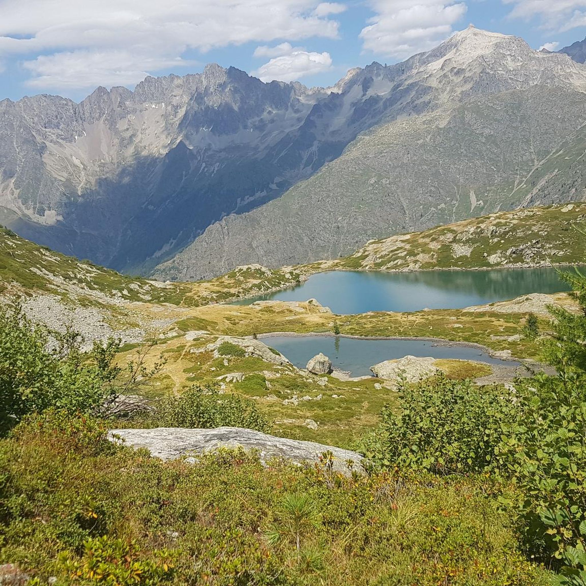
Hiking around Villar-Loubière
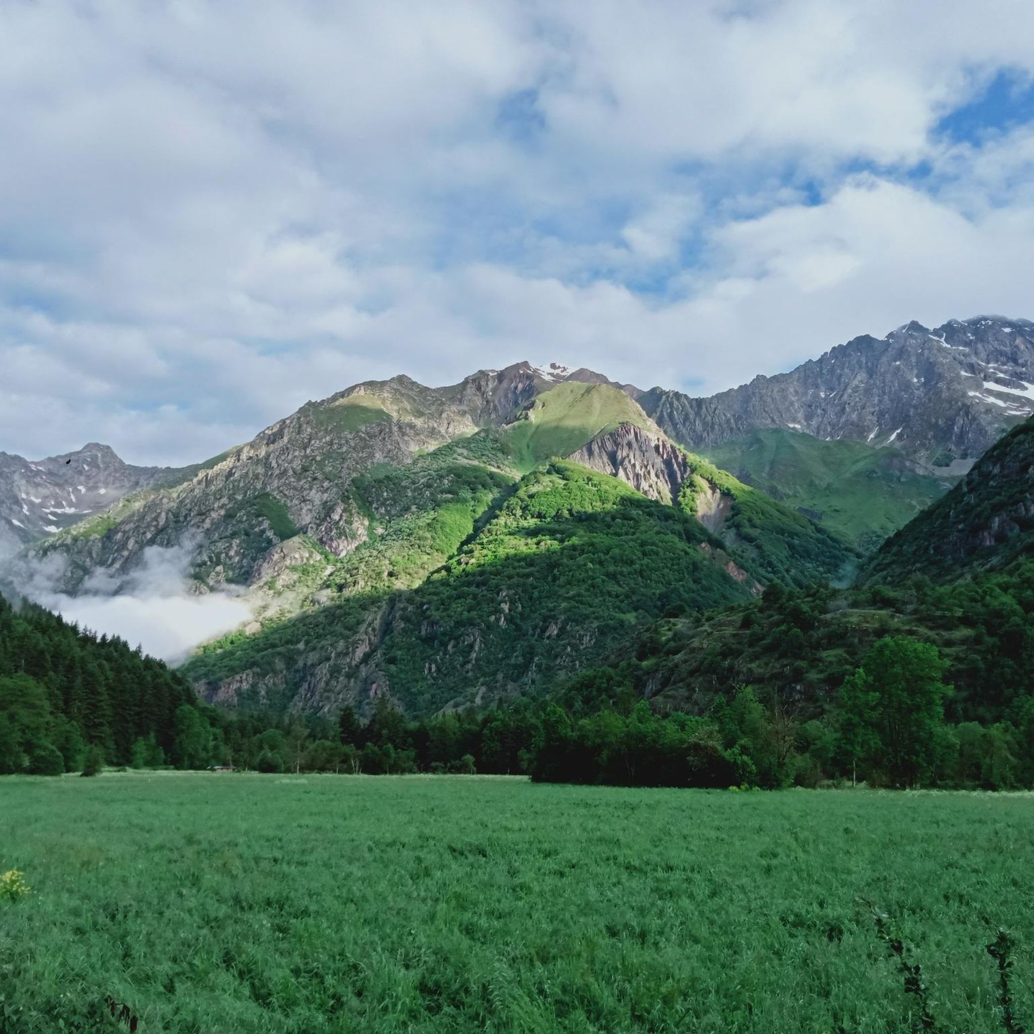
MTB Trails around Villar-Loubière
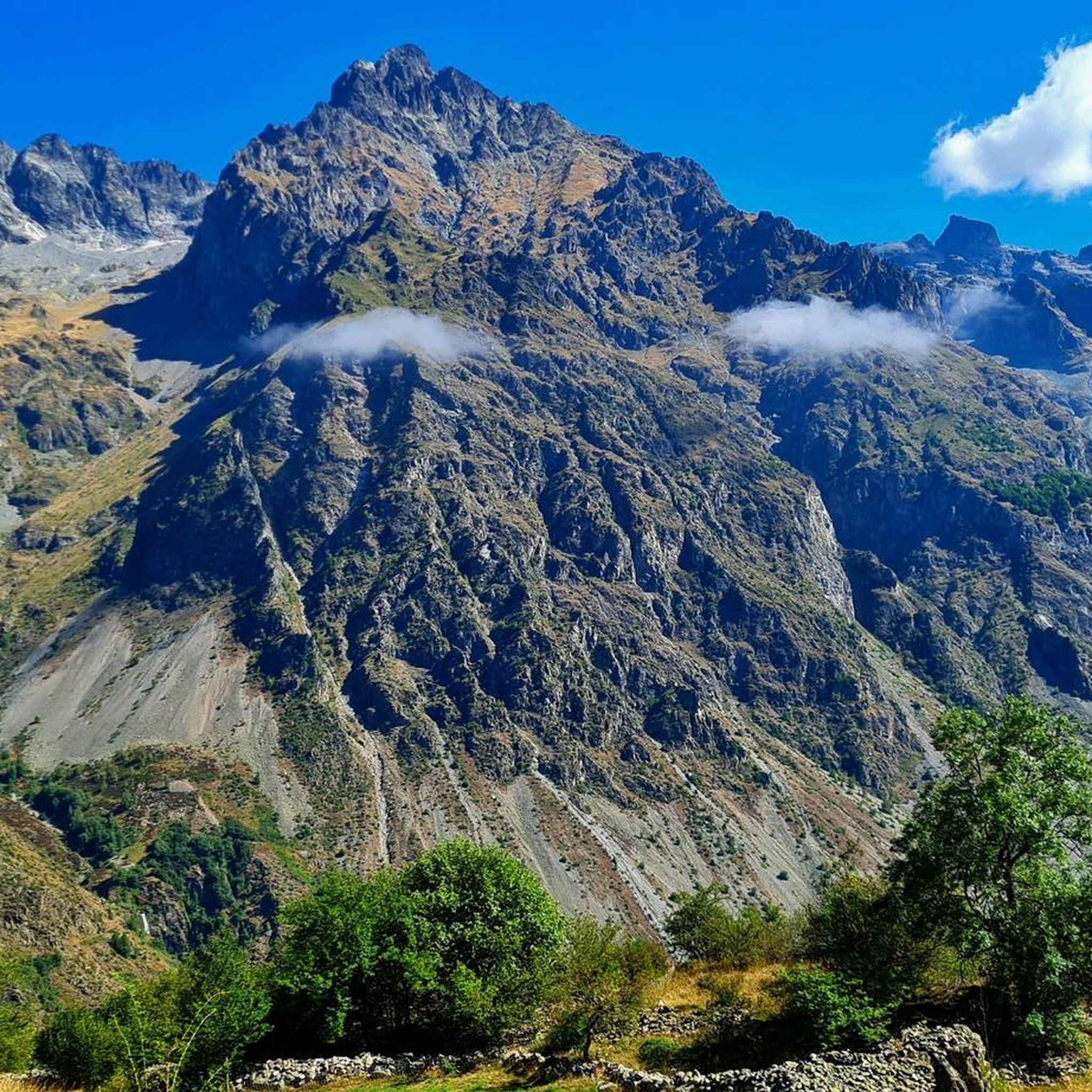
Running Trails around Villar-Loubière
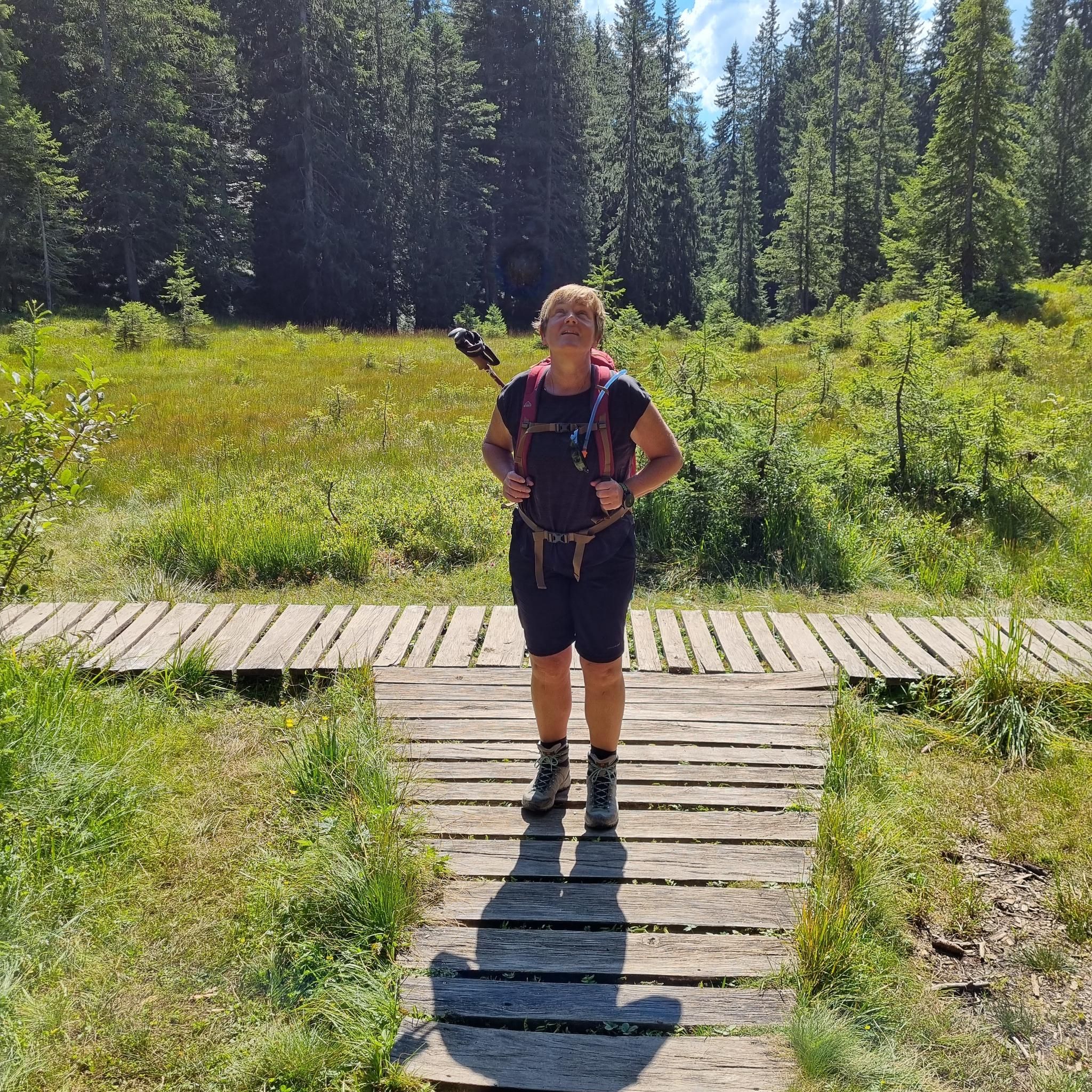
Mountain Hikes around Villar-Loubière
Other adventures around Villar-Loubière


Tips from the Community

From Le Bourg-d'Oisans the pass is very pleasant to drive.
1
0


In addition to plenty of seating, there is also water and a toilet.
0
0


The Col des Festreaux is a mountain pass in Provence-Alpes-Côte d'Azur with an elevation of 1,106 m.
0
0

Nestled at an altitude of 1,650 meters, the Gioberney refuge is located at the end of the Valgaudemar valley. Its parking lot is often popular with hikers during peak season. The views from the terrace are superb and overlook a beautiful waterfall.
1
0
Frequently Asked Questions
How many touring cycling routes are available around Villar-Loubière?
There are over 20 touring cycling routes around Villar-Loubière, offering a variety of experiences. These include 3 easy routes, 7 moderate routes, and 14 difficult routes, catering to different skill levels.
What is the best time of year for touring cycling in Villar-Loubière?
The summer months are ideal for touring cycling in Villar-Loubière. The Valgaudemar Valley benefits from abundant sunshine, offering pleasant conditions to explore the region's diverse landscapes, from forest-covered slopes to alpine pastures.
Are there any touring cycling routes that feature waterfalls?
Yes, you can explore routes that offer views of impressive waterfalls. For example, the Cascade – Gioberney Waterfall loop from Le Bourg is a difficult 20 km path that provides stunning views of the Gioberney Waterfall. You can also find other waterfalls like the Waterfall Near Lac de Lauzon and Bridal Veil Waterfall in the area.
Can I find circular touring cycling routes in the area?
Absolutely. Many of the touring cycling routes around Villar-Loubière are designed as loops, allowing you to start and finish in the same location. A popular option is the Valgo – Fountain – Water Point loop from Le Bourg, which is a 41.8 km difficult route through the Valgaudemar valley.
What kind of natural features can I expect to see on a touring cycling route near Villar-Loubière?
The region offers a dramatic landscape with a mountainous cirque, impressive peaks like Pic des Souffles and Cime d'Orgières, and the striking Valgaudemar Valley. You'll encounter a contrast between forest-covered slopes and sunny agricultural lands. Keep an eye out for unique geological formations like the 'arraches,' which are monumental schist columns. The View of the Araches is a notable highlight.
Are there any routes that pass near the Écrins National Park?
Yes, Villar-Loubière is situated at the edge of the expansive Écrins National Park. The Valbonnais Canal – Ecrins Reserve loop from Le Désert en Valjouffrey is a 45 km route that leads through the Valbonnais Canal area and near the National Park, offering a glimpse into this alpine paradise.
What do other touring cyclists say about the routes in Villar-Loubière?
The touring cycling routes in Villar-Loubière are highly rated by the komoot community, with an average score of 4.7 out of 5 stars from over 10 reviews. Cyclists often praise the varied terrain, the stunning mountain scenery, and the challenging yet rewarding nature of the rides.
Are there any places to stop for refreshments or accommodation along the routes?
While specific cafes or pubs directly on every route aren't detailed, the region does have refuges and huts that can serve as stops. For example, the Lavey Refuge is listed as a pub, and other huts like Gioberney Refuge and Refuge des Souffles offer places to rest or stay overnight.
What are some challenging touring cycling routes for experienced riders?
For experienced riders seeking a challenge, many routes in the area are classified as difficult. The Viaduct Over the Bonne – Valbonnais loop from Valjouffrey is a demanding 66.5 km route with significant elevation gain, offering a rigorous experience through the mountainous terrain.
Can I find routes that offer panoramic viewpoints?
Yes, the mountainous cirque and high peaks surrounding Villar-Loubière provide numerous opportunities for panoramic views. Routes often traverse mountain ridges, offering expansive vistas of the Valgaudemar Valley and beyond. The View of the Araches is a specific highlight known for its scenic outlook.
Are there any routes that explore the Valgaudemar Valley specifically?
Many routes are centered within or traverse the Valgaudemar Valley, which is a defining feature of the region. The La Chaup – Festreaux Pass loop from Saint-Maurice-en-Valgodemard is a 39.2 km difficult route that allows you to explore different facets of the valley's landscape.
Most popular attractions around Villar-Loubière

Get inspired with the komoot mobile app


Explore more
Browse the best Cycling routes in other regions.
