The best MTB trails around Villar-Loubière
4.8
(20)
188
riders
15
rides
Mountain biking around Villar-Loubière offers challenging routes within the Valgaudemar valley, characterized by its alpine landscape. The terrain features significant elevation changes, with trails often following river valleys like the Drac and Séveraisse. Riders can expect a mix of technical ascents and descents through mountainous environments, including areas near dams and refuges. The region's natural features provide a demanding experience for mountain bikers.
Best mountain bike trails around Villar-Loubière
- The most popular mountain bike trail is Sautet dam – Pont…
Last updated: August 11, 2026
4.3
(7)
72
riders
41.6km
03:37
1,120m
1,120m
Hard mountain bike ride. Very good fitness required. Advanced riding skills necessary.
4.3
(7)
35
riders
Hard mountain bike ride. Good fitness required. Advanced riding skills necessary. Some portions of the route may require you to push your bike.

Sign up for free
17
riders
Hard mountain bike ride. Good fitness required. Advanced riding skills necessary. Some portions of the route may require you to push your bike.
5.0
(1)
17
riders
22.6km
02:43
490m
490m
Hard mountain bike ride. Good fitness required. Advanced riding skills necessary. Some portions of the route may require you to push your bike.
5.0
(2)
13
riders
32.4km
03:41
640m
640m
Hard mountain bike ride. Good fitness required. Advanced riding skills necessary. Some portions of the route may require you to push your bike.
Get access to more routes and recommendations from other explorers.
Sign up for free
Already have an account?
Our route recommendations are based on thousands of hikes, rides, and runs completed by other people on komoot.
Start today with a free account
Your next adventure awaits.
Login or Signup
Popular around Villar-Loubière
Seven hikes in France’s Southern Alps – refuges and high peaks

Écrins, Belledonne and Vercors – HexaTrek, Hautes-Alpes
Exploring the Oisans and the Écrins in France — the GR 54
Road Cycling Routes around Villar-Loubière
Hiking around Villar-Loubière
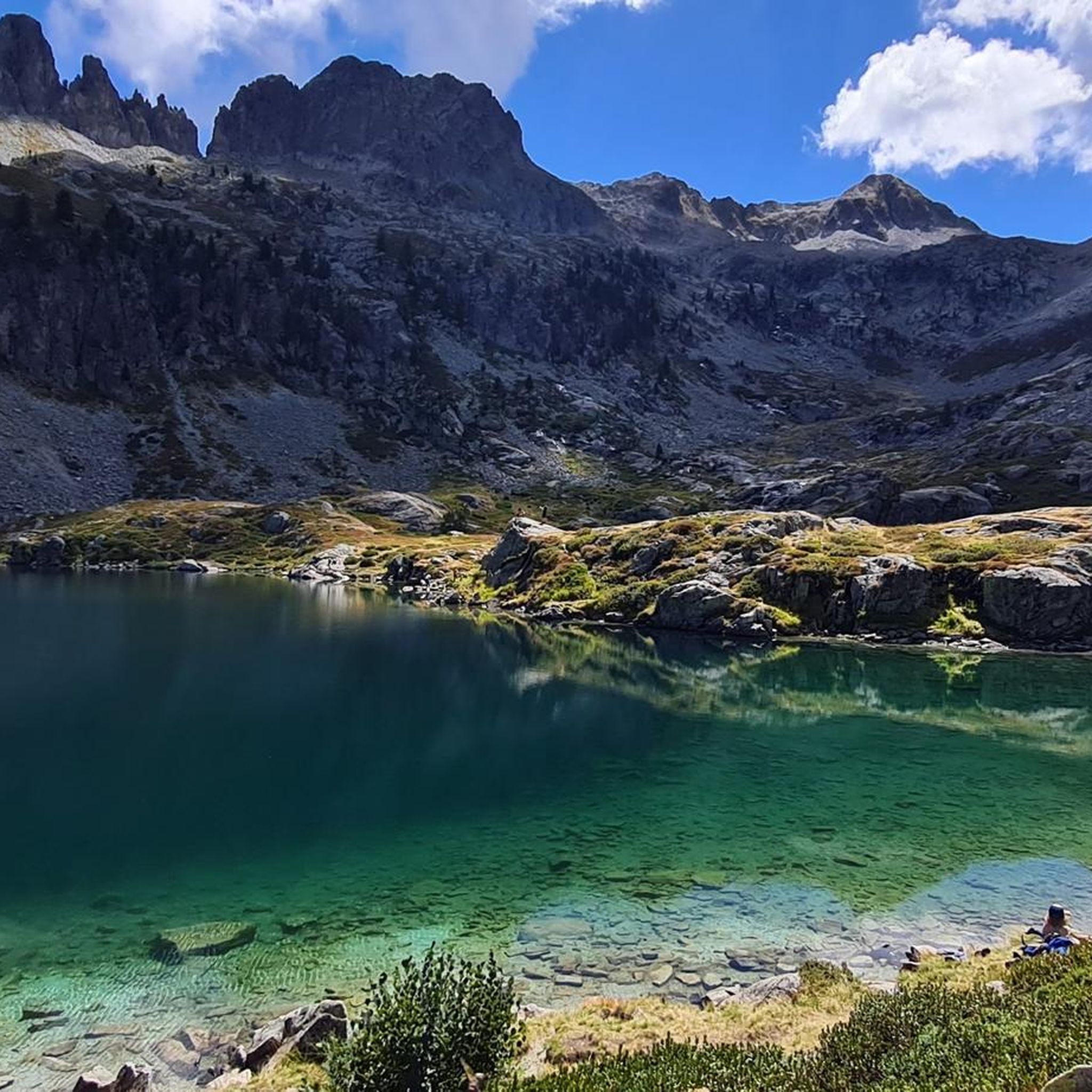
Cycling around Villar-Loubière
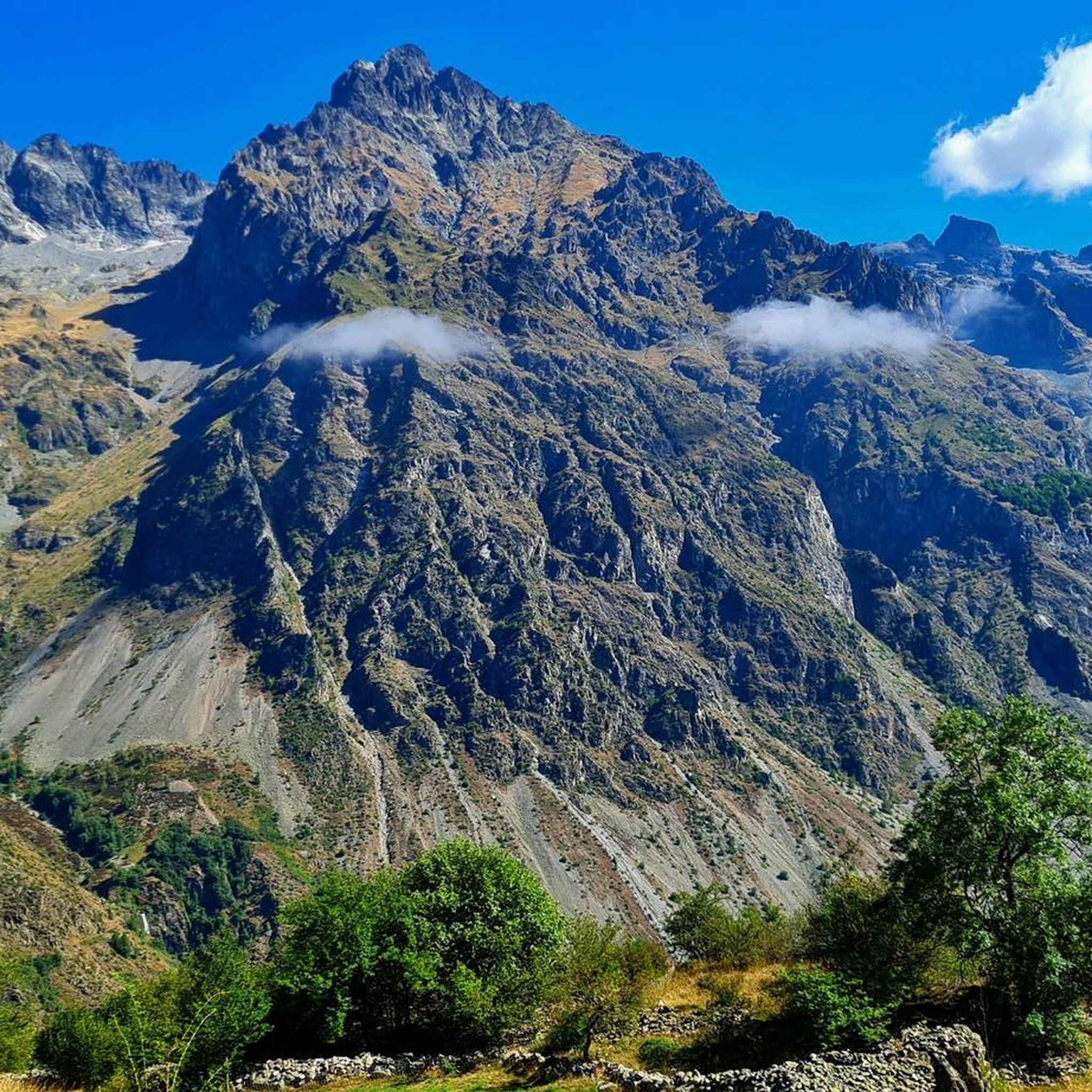
Running Trails around Villar-Loubière
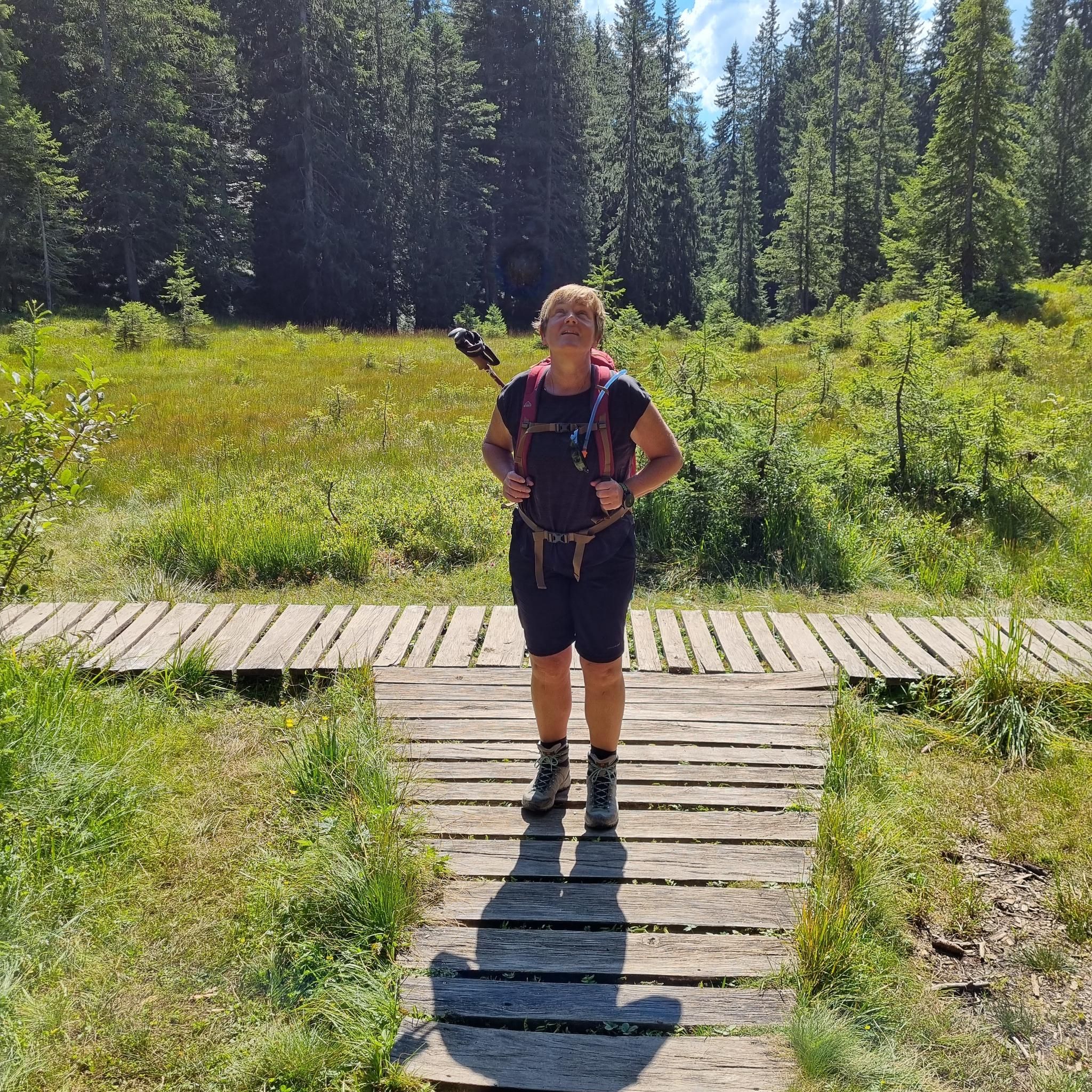
Mountain Hikes around Villar-Loubière
Other adventures around Villar-Loubière


Tips from the Community


The color of the water is really beautiful.
26
0

Nestled at an altitude of 1,650 meters, the Gioberney refuge is located at the end of the Valgaudemar valley. Its parking lot is often popular with hikers during peak season. The views from the terrace are superb and overlook a beautiful waterfall.
1
0

The Sautet Dam is an engineering masterpiece nestled in a breathtaking landscape. This dam creates a serene lake, which attracts water sports enthusiasts, cyclists and hikers. It offers stunning views of the surrounding mountains.
1
0
Villar-Loubière is a small picturesque village located above the Séveraisse. The village is overlooked by the Chastelas cliff. It is the entry point to the high peaks of Valgaudemar.
0
0
Built in 1811, the Herbeys canal allows the cultivation of the Aubessagne plateau, which was formerly arid and not very fertile. The canal is 28 kilometers long and uses water from the Séveraisse. The setting is bucolic.
0
0
Frequently Asked Questions
What is the general difficulty level of mountain bike trails around Villar-Loubière?
Mountain biking around Villar-Loubière is characterized by challenging alpine terrain with significant elevation changes. All 16 routes available in the area are classified as difficult, making them suitable for experienced riders.
Are there any easy or beginner-friendly mountain bike trails in Villar-Loubière?
The mountain bike trails around Villar-Loubière are primarily designed for experienced riders. All 16 routes in the area are classified as difficult, featuring demanding ascents and descents through mountainous environments. There are no easy or moderate trails listed for beginners.
What kind of terrain can I expect on the mountain bike trails in the Valgaudemar valley?
The Valgaudemar valley offers an alpine landscape with substantial elevation changes. Trails often follow river valleys like the Drac and Séveraisse, providing a mix of technical ascents and descents. You can expect mountainous environments, including areas near dams and refuges.
What natural landmarks or viewpoints can I see along the mountain bike trails?
The region offers several natural highlights. You can encounter stunning waterfalls such as Waterfall Near Lac de Lauzon, Bridal Veil Waterfall, and Gioberney Waterfall. Additionally, you might find scenic spots like the View of the Araches.
Are there any circular mountain bike routes available?
Yes, many of the trails around Villar-Loubière are circular routes. For example, you can ride the Sautet dam – Pont du Loup over the Drac loop from Saint-Firmin, or explore the Along the Séveraisse – Sentier des Herbeys loop from La Chapelle-en-Valgaudémar.
What is the best time of year for mountain biking in Villar-Loubière?
Given the alpine nature of the Valgaudemar valley, the best time for mountain biking is typically from late spring through early autumn (roughly May to October). During these months, trails are generally free of snow, and weather conditions are more favorable. Always check local weather and trail conditions before heading out.
Are the mountain bike trails around Villar-Loubière suitable for families or dog-friendly?
Due to the challenging nature of the terrain, with all 16 routes classified as difficult, these mountain bike trails are generally not recommended for families with young children or beginners. While dogs are often allowed on trails in the region, the demanding routes and significant elevation changes mean they are best suited for fit dogs accustomed to long, strenuous rides.
What do other mountain bikers say about the trails in Villar-Loubière?
The mountain bike routes in Villar-Loubière are highly rated by the komoot community, with an average score of 4.6 stars from over 17 reviews. Riders often praise the challenging alpine environment, the scenic river valleys, and the rewarding experience of tackling the difficult terrain.
Where can I find parking for mountain biking trails in the Valgaudemar valley?
Specific parking information varies by trailhead. However, common starting points for routes like those from Saint-Firmin, La Chapelle-en-Valgaudémar, or Saint-Jacques-en-Valgodemar typically have designated parking areas. It's advisable to check the individual route details on komoot for precise parking locations before your trip.
Are there any accommodations or places to eat near the mountain bike trails?
Villar-Loubière and the surrounding Valgaudemar valley offer various amenities, including guesthouses, refuges, and small restaurants, particularly in villages like La Chapelle-en-Valgaudémar and Saint-Firmin. These can provide options for meals and overnight stays after your ride.
How many mountain bike trails are there in Villar-Loubière?
There are 16 mountain bike trails available around Villar-Loubière, all of which are classified as difficult.
Can I reach the trailheads using public transport?
Public transport options in the remote Valgaudemar valley are limited. While some regional bus services might connect larger towns, reaching specific trailheads often requires a car. It's recommended to plan your transport in advance and check local schedules if relying on public services.
Most popular attractions around Villar-Loubière

Get inspired with the komoot mobile app


Explore more
Browse the best MTB trails in other regions.
