The best mountain hikes around Max-Eyth-See
5.0
(1)
4
hikers
1
hike
Mountaineering around Max-Eyth-See offers routes characterized by varied elevations, forested slopes, and scenic viewpoints overlooking the Neckar valley. The terrain typically includes well-maintained paths through woodlands and open areas, providing a mix of ascents and descents. These routes often feature views of the lake and surrounding Stuttgart landscape, making them suitable for those seeking both physical activity and natural beauty.
Best mountaineering routes around Max-Eyth-See
- The most popular mountaineering route is Viewpoint – Cycling — Bike Café Stuttgart loop from…
Last updated: October 7, 2026
1
hikers
Moderate mountaineering route. Good fitness required. Easily-accessible paths. Suitable for all skill levels.
1
hikers
Easy mountaineering route. Great for any fitness level. Easily-accessible paths. Suitable for all skill levels.

5.0
(1)
2
hikers
Easy mountaineering route. Great for any fitness level. Easily-accessible paths. Suitable for all skill levels.
Our route recommendations are based on thousands of hikes, rides, and runs completed by other people on komoot.
Start today with a free account
Your next adventure awaits.
Popular around Max-Eyth-See


Tips from the Community

From here you have a great view over the Neckar valley and the surrounding area. Brilliant
0
0

Unfortunately, there is no water coming out this year.
0
0

In the middle of the green, the Naturfreundehaus am Kappelberg is idyllically located above vineyards and orchards. The cozy meeting place is run by volunteers on weekends and offers hikers a relaxing break with a magnificent view. Those who wish can even stay overnight here. A wonderfully down-to-earth place where the Schurwald still feels pleasantly decelerated.
0
0

In its upper section, Wiederholdstraße forms a serpentine footpath that repeatedly offers beautiful views of the city in the valley below. The best view, of course, is from the very top, at Schottstraße.
1
0

The Naturfreundehaus (Friends of Nature House) is managed by volunteer housekeeping teams on weekends. It also offers overnight accommodation for up to 25 people who are self-catering.
6
0
A rather uneven staircase leads to the Naturfreundehaus Am Kappelberg (Nature Friends House Am Kappelberg). A warning sign has been posted as a precaution, since this path is not safe to walk on in all weather conditions.
6
0

The waiting shelter dates back to 1925 and was used by the SSB.
0
0

An impressive building, the outdoor area with its cast-concrete climbing wall is a definite eye-catcher. There's also food and drink available.
0
0
Frequently Asked Questions
What is the general difficulty of mountaineering routes around Max-Eyth-See?
The mountaineering routes around Max-Eyth-See offer a mix of easy to moderate paths. You'll find options suitable for various ability levels, from gentle ascents through woodlands to more challenging climbs with varied elevations. For example, the Viewpoint – Cycling — Bike Café Stuttgart loop from Berliner Platz (Liederhalle) is a moderate route, while the Sinneswandel Boardwalk – House of the forest & change of heart loop from Waldau is an easy option.
Are there any family-friendly mountaineering routes in the Max-Eyth-See area?
Yes, several routes are suitable for families. The terrain often includes well-maintained paths through woodlands and open areas, with gentle ascents. An excellent choice for families is the Sinneswandel Boardwalk – House of the forest & change of heart loop from Waldau, an easy 3.8-mile path that includes a boardwalk section and leads through varied forest terrain.
Where can I park when visiting the mountaineering routes around Max-Eyth-See?
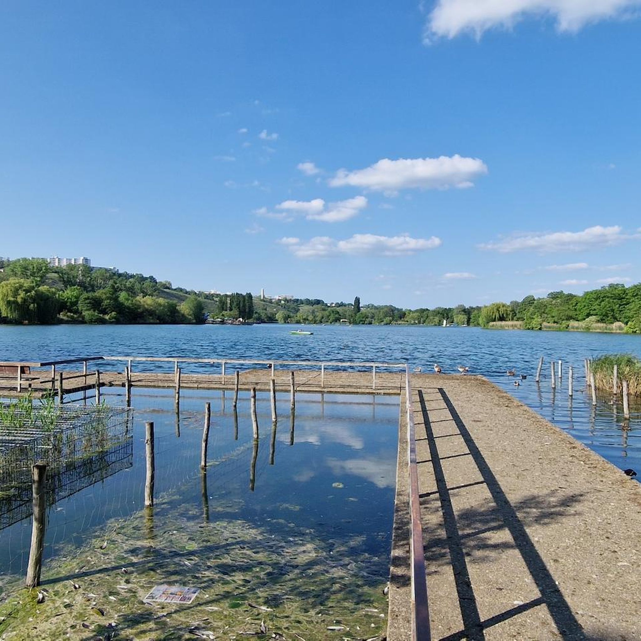
Parking is available in the vicinity of Max-Eyth-See. There is a highlight for Free parking opposite Max-Eyth-See, which can be a convenient starting point for your mountaineering adventure.
Are there any circular mountaineering routes around Max-Eyth-See?
Yes, many of the routes in the area are designed as loops, offering a complete experience without retracing your steps. Examples include the moderate Viewpoint – Cycling — Bike Café Stuttgart loop from Berliner Platz (Liederhalle) and the easy Western path to Kernen Tower – Naturfreundehaus Am Kappelberg loop from Kernen im Remstal.
What kind of views can I expect on the mountaineering routes near Max-Eyth-See?
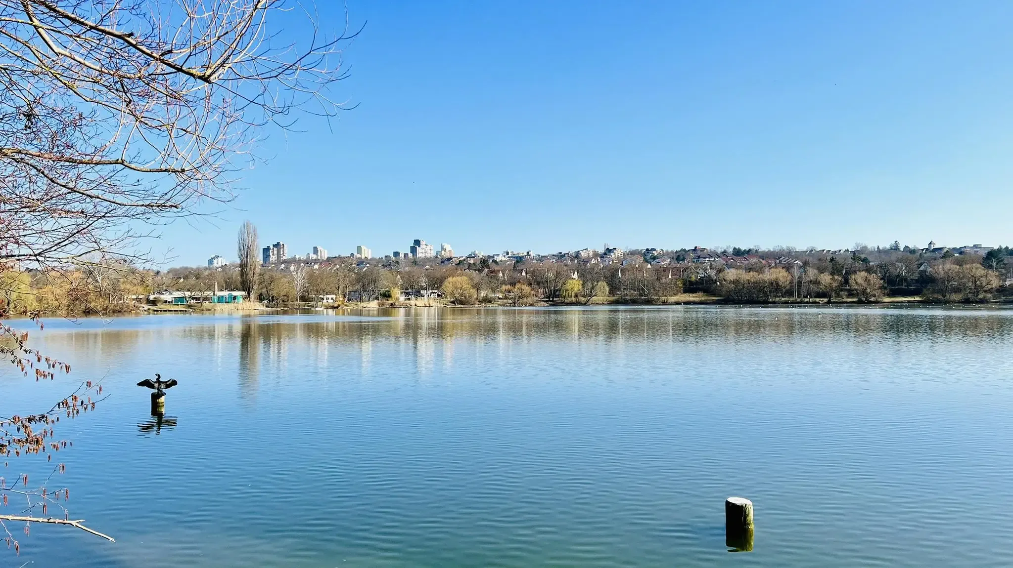
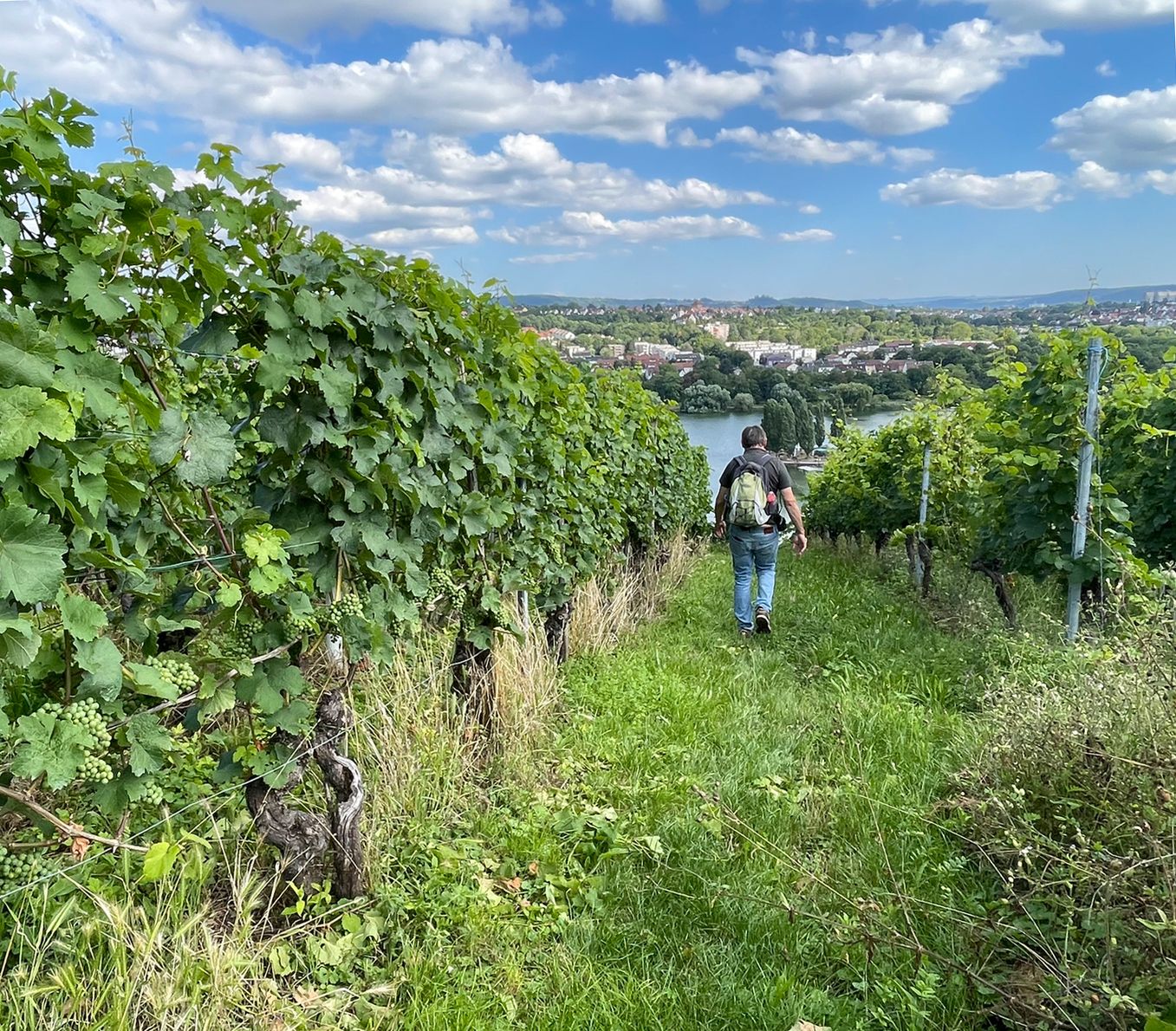
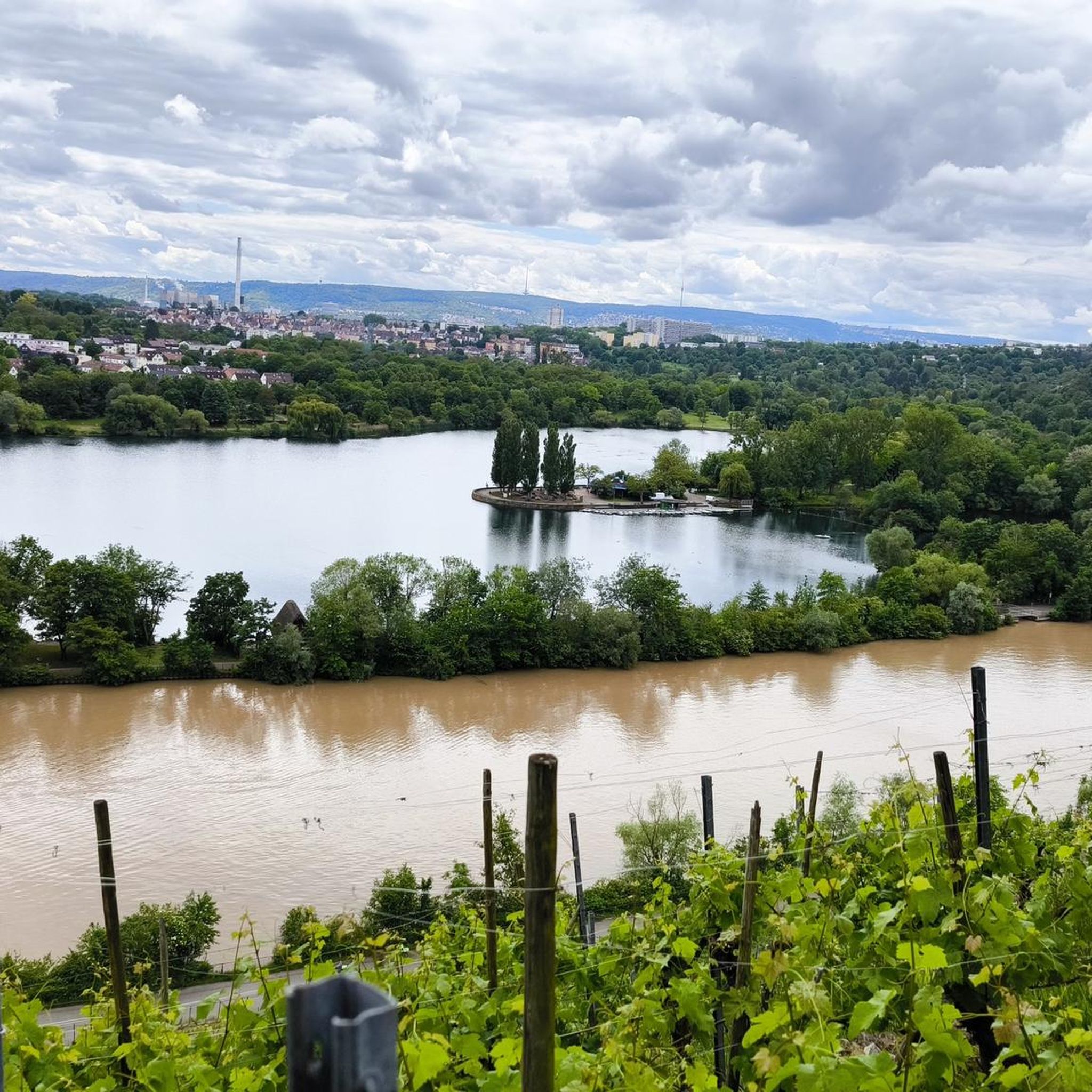
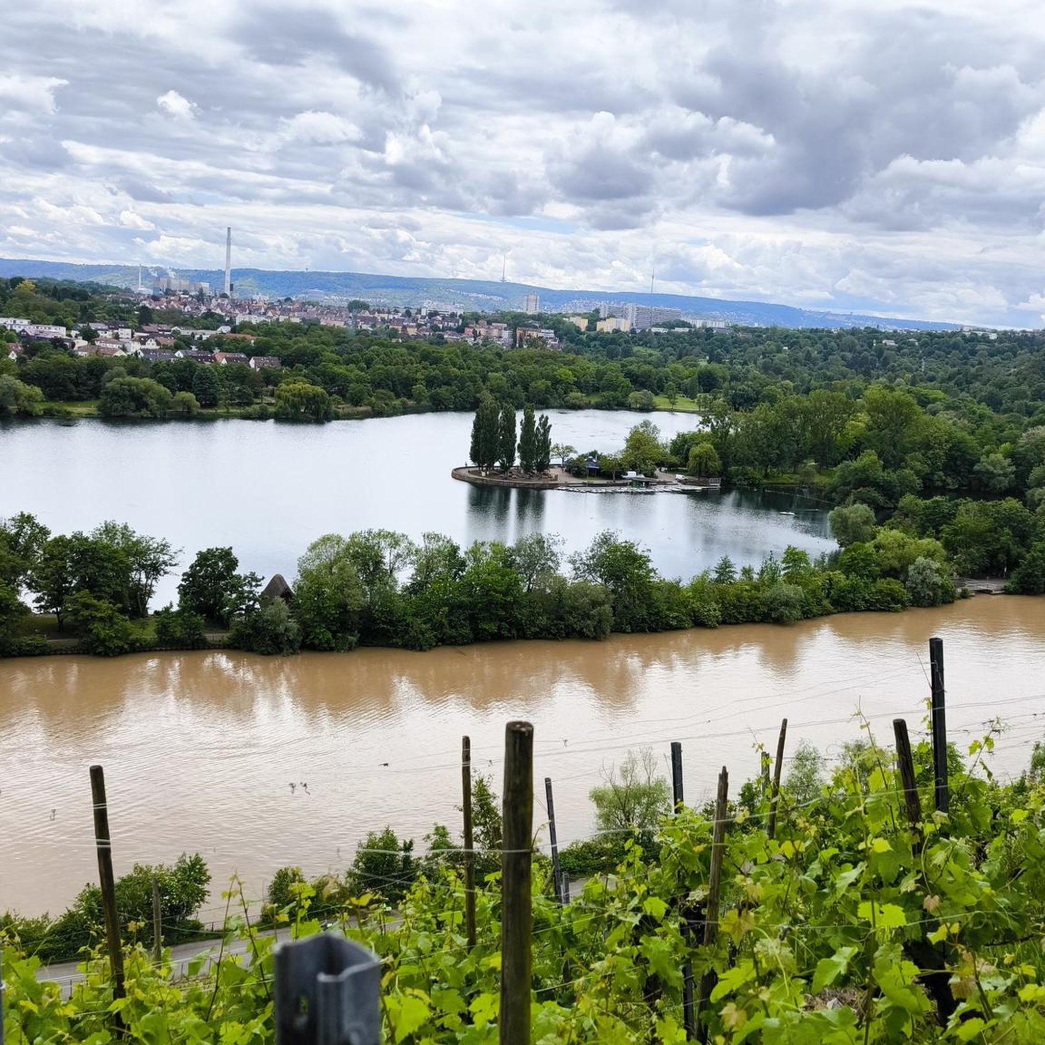
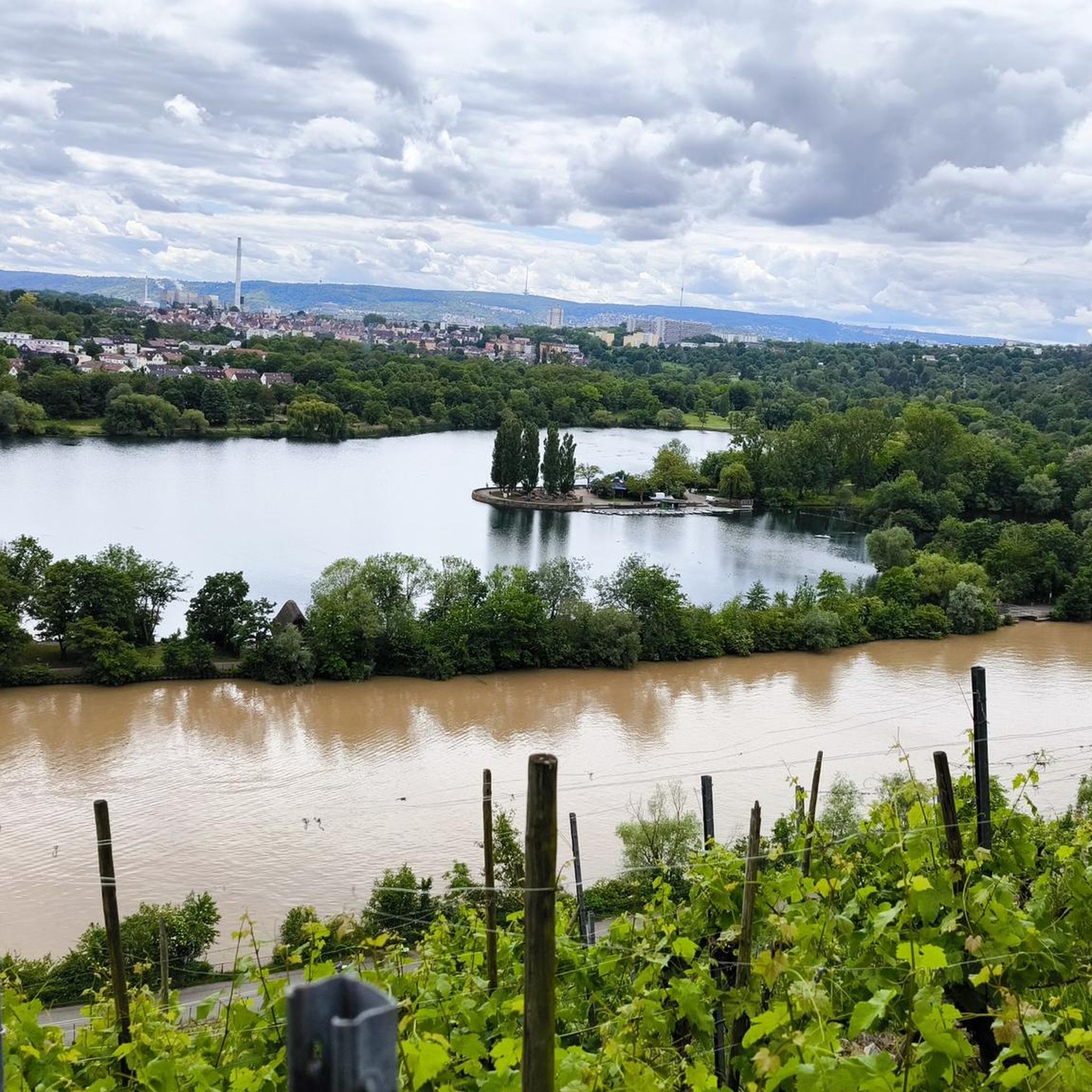
The routes offer scenic viewpoints overlooking the Neckar valley, the lake itself, and the surrounding Stuttgart landscape. You'll often find yourself on forested slopes providing beautiful vistas. Highlights like the View of the vineyards on the Neckar are popular spots.
What do other mountaineers enjoy most about the Max-Eyth-See area?
The area is highly rated by the komoot community, with an average score of 5.0 stars. Mountaineers often praise the varied terrain, the mix of forested hills and open areas, and the beautiful views of the lake and Neckar valley. The well-maintained paths also contribute to a pleasant experience.
Are there any cafes or refreshment stops near the mountaineering trails?
Yes, you can find places to stop for refreshments. The Meeting Point Am See Beer Garden & Restaurant is a notable highlight near the lake, offering a convenient spot to relax after your hike.
What historical or interesting landmarks can be found along the routes?
Beyond the natural beauty, you can explore historical sites. One notable landmark is The Heidenschloss – Roman Estate at Max-Eyth-See, offering a glimpse into the region's past.
What is the best time of year for mountaineering around Max-Eyth-See?
The routes around Max-Eyth-See are generally accessible throughout much of the year. Spring and autumn offer pleasant temperatures and vibrant scenery, while summer provides longer daylight hours. Even in winter, the well-maintained paths through woodlands can be enjoyable, though conditions may vary.
How many mountaineering routes are available in the Max-Eyth-See area?
Currently, there are several mountaineering routes detailed for the Max-Eyth-See area, offering a variety of experiences. The komoot community has explored these routes, with more than 4 mountaineers having used komoot to discover the varied terrain.
Are there any easy routes suitable for beginners around Max-Eyth-See?
Absolutely. The Max-Eyth-See area is well-suited for beginners, with several easy routes that provide a gentle introduction to mountaineering. The Western path to Kernen Tower – Naturfreundehaus Am Kappelberg loop from Kernen im Remstal is an easy 3.3-mile trail through forested hills, perfect for those starting out.
Most popular routes around Max-Eyth-See
Most popular attractions around Max-Eyth-See

Get inspired with the komoot mobile app


Explore more
Browse the best Mountain Hikes & Routes in other regions.
