The best walks and hikes around Max-Eyth-See
4.5
(11796)
61,289
hikers
1,493
hikes
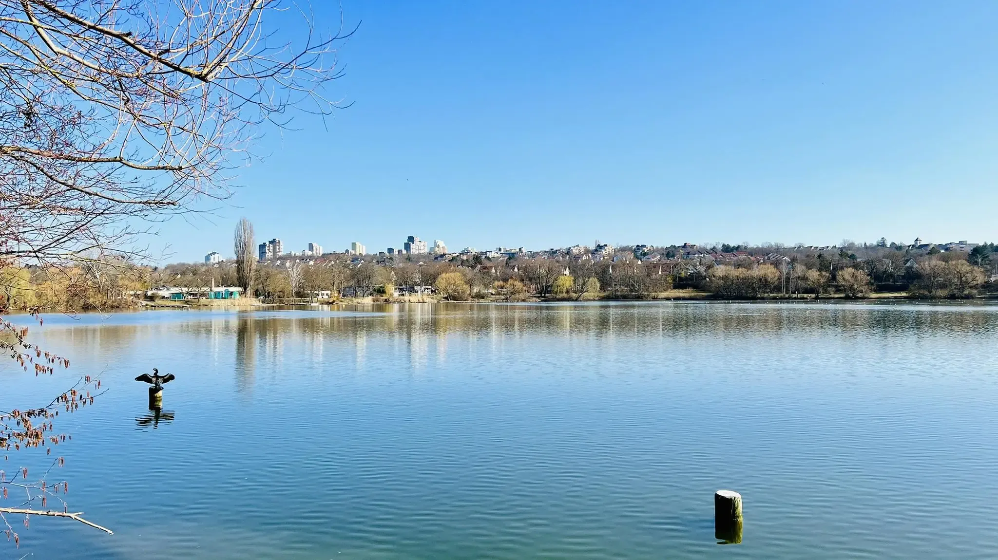
Hiking around Max-Eyth-See is characterized by its tranquil lake, extensive green areas, and proximity to the Neckar River. This area, originally a gravel pit, has transformed into a local recreation zone and nature reserve. Trails offer views of the lake, river, and surrounding landscapes, including distant vineyards. The northwestern part of the lake is designated as a bird sanctuary, providing opportunities for wildlife observation.
Best hiking trails around Max-Eyth-See
- The most popular hiking route is Max Eyth Lake – Max-Eyth-See…
Last updated: October 7, 2026
4.7
(260)
842
hikers
6.59km
01:46
80m
80m
Easy hike. Great for any fitness level. Easily-accessible paths. Suitable for all skill levels.
4.7
(49)
386
hikers
3.41km
00:53
10m
20m
Easy hike. Great for any fitness level. Easily-accessible paths. Suitable for all skill levels.

4.5
(42)
142
hikers
7.99km
02:07
80m
80m
Moderate hike. Good fitness required. Easily-accessible paths. Suitable for all skill levels.
4.5
(41)
140
hikers
9.31km
02:36
180m
180m
Moderate hike. Good fitness required. Easily-accessible paths. Suitable for all skill levels.
4.6
(33)
246
hikers
3.24km
00:50
10m
10m
Easy hike. Great for any fitness level. Easily-accessible paths. Suitable for all skill levels.
Get access to more routes and recommendations from other explorers.
Already have an account?
Our route recommendations are based on thousands of hikes, rides, and runs completed by other people on komoot.
Start today with a free account
Your next adventure awaits.
Popular around Max-Eyth-See



Tips from the Community

From 1728, the Palm'sche Schloss was the residence of the Barons von Palm. The castle dates back to a manor house built around 1595, which was rebuilt and expanded several times. The castle complex included outbuildings, stables, and kitchen gardens, as well as the well from 1735. Since 1990, the district town hall of the Mühlhausen district has been established here.
3
0
It all started in December 1967, when the poplar was felled for the first boat - it all began at the children's home in Münster. Together with educator Peter Sonder (*1931, † 2016), young people carved the first wooden boat out of this poplar - a so-called dugout canoe. From 1967 to '69, they built the outrigger boat based on South Sea models. It was christened "Tigekadopemic", a compound name from the initial letters of the builders (Till, Gerd, Karl, Dorle, Peter, Michael, Claudio). The boat was launched for the first time in 1969. So that this and other boats would find a suitable home, the boathouse was built in 1971 at the Max-Eyth-See. The "Bootshausschuppen" (boathouse shed) was ceremoniously opened on July 10, 1971. New boats were added, old ones had to withstand the weather. They sailed, went kayaking and canoeing, and even back then, there was a weekly supervised, open paddling offer. The "Tigekadopemic" made its last tour in 1986 on the Max-Eyth-See. In addition to smaller outrigger boats, there were two sailing dinghies and surfboards at that time. These were made available then, as they are today, to children, young people, and institutions.
3
0
The Hofen weir clearly marks the transition from the „Bonatz weirs“ to those of the 1950s: the roller weir, probably co-designed by Bonatz, has the weir bridge over the downstream for the first time since 1927. In the lock built in 1957, a lift-and-turn and a lift-and-slide gate are combined. In the impoundment area is the Max-Eyth-See, which was created in 1935 for a water sports exhibition accompanying the Neckar canalization.
3
0

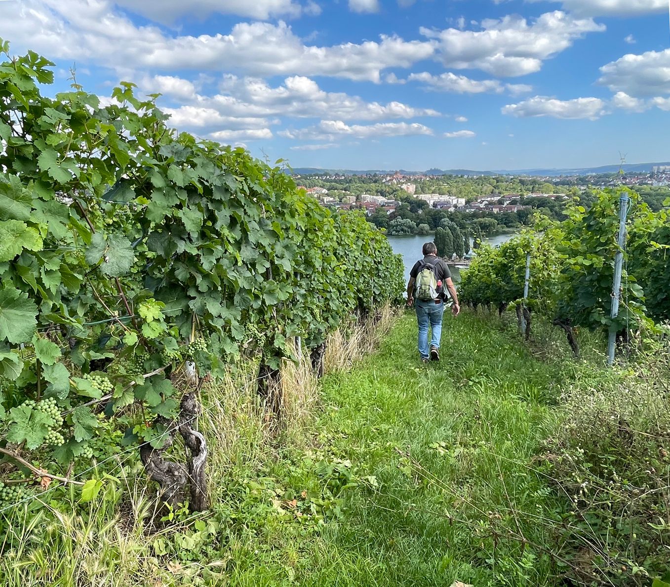
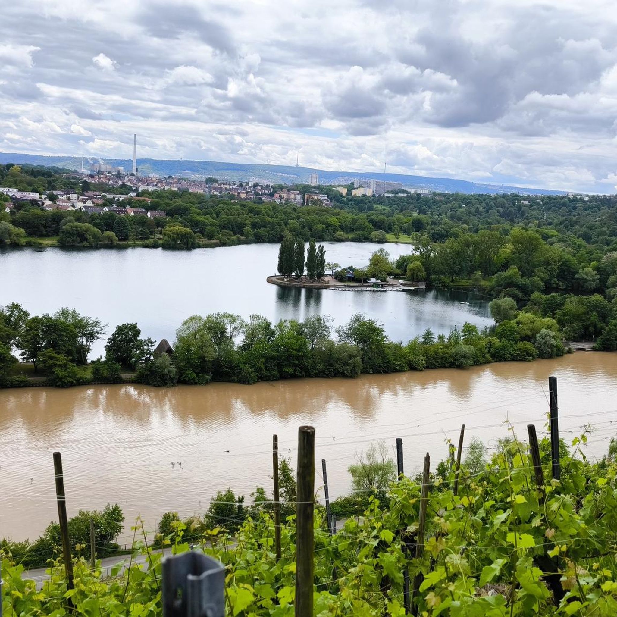
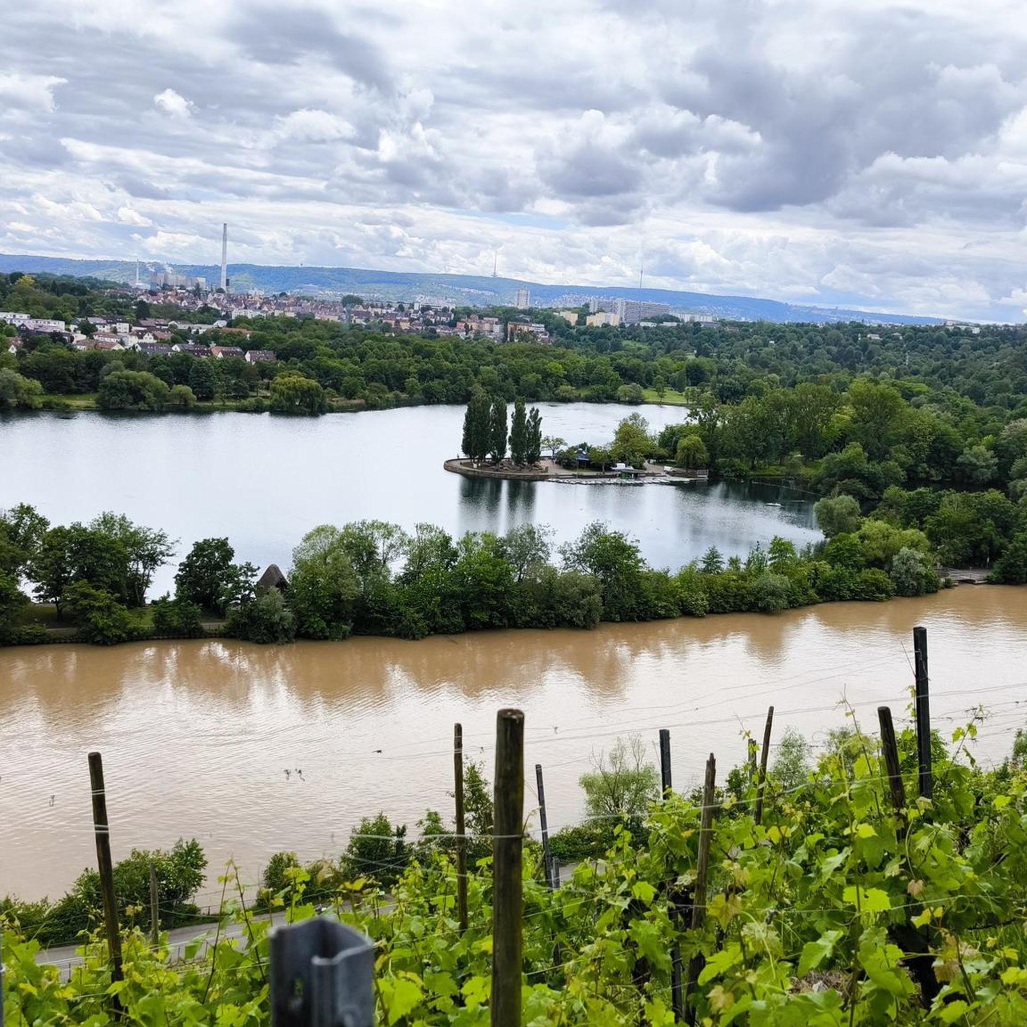
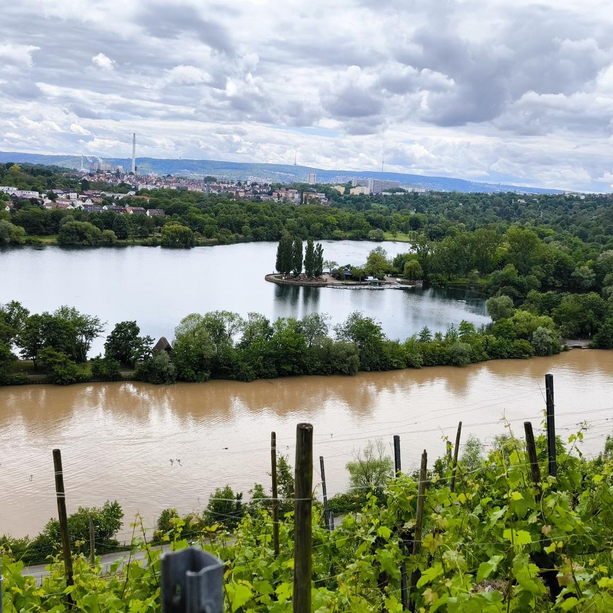
The Cannstatter Zuckerle is a single vineyard site on the Neckar, supported by numerous dry stone walls.
0
0

It is beautiful here at any time of the year and you have a magnificent panorama.
0
0

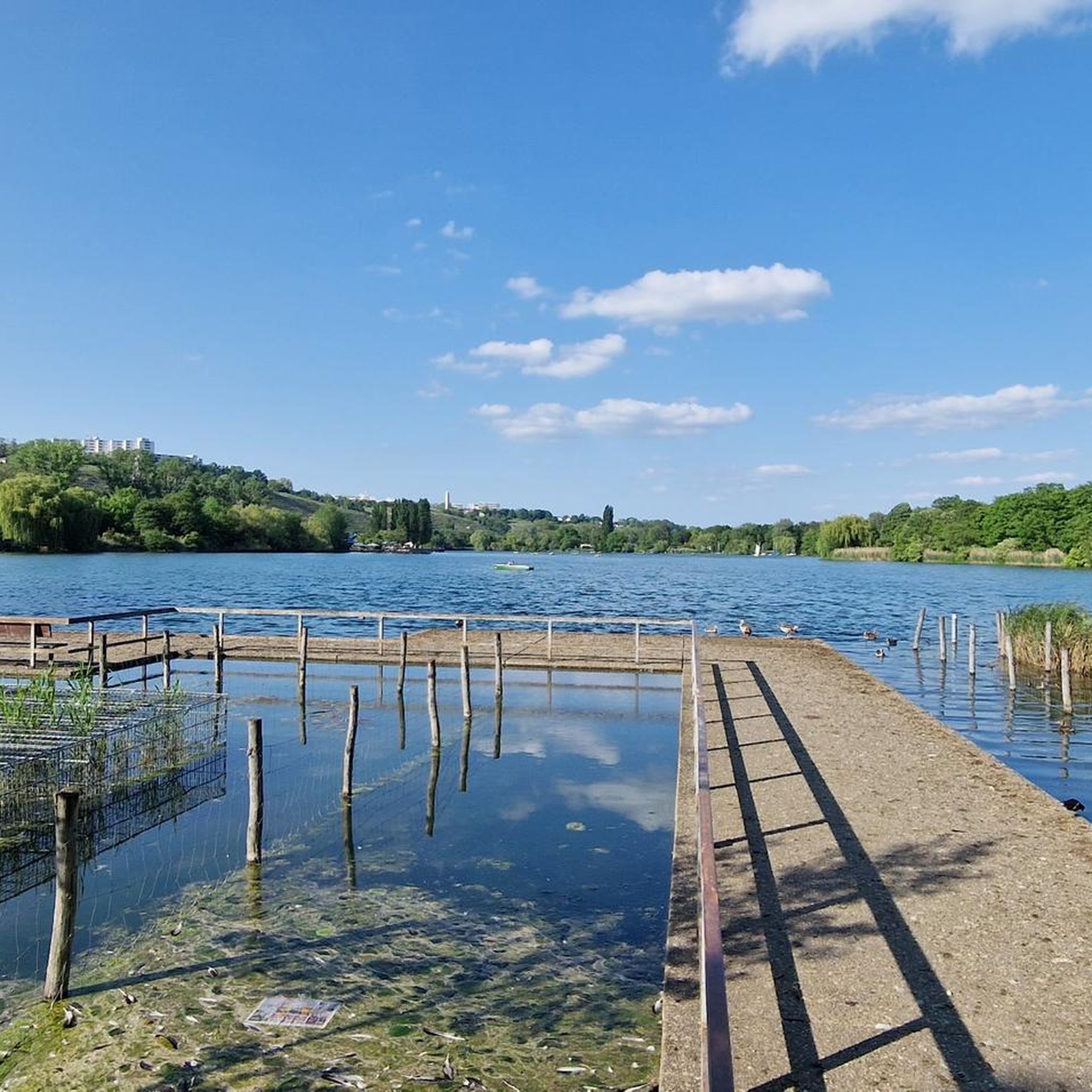
A beautiful oasis in the city.
2
1

At Burgholzhof there is always a Hocketse on weekends from April/May to Oct/Nov.
0
0
Frequently Asked Questions
How many hiking trails are available around Max-Eyth-See?
There are nearly 1,500 hiking routes around Max-Eyth-See, catering to a wide range of preferences. Over 1,000 of these are classified as easy, making the area very accessible for casual strolls and family outings.
Are there any easy, family-friendly hiking options around Max-Eyth-See?
Yes, Max-Eyth-See offers many easy and family-friendly paths. A great option is the Max Eyth Lake – Max Eyth Lake loop from Mühlhausen, an easy 3.4 km path that circles the lake, perfect for a shorter walk with children.
What kind of natural features and landscapes can I expect to see while hiking here?
Hikers can enjoy diverse landscapes, including the tranquil Max-Eyth-See itself, extensive green areas, and views of the Neckar River. The northwestern part of the lake is a designated bird sanctuary, offering opportunities for birdwatching. You might also catch glimpses of surrounding vineyards from some trails.
Are there any circular walks or loop trails around Max-Eyth-See?
Yes, the area is well-suited for circular walks. For example, the Max Eyth Lake – Max-Eyth-See Terraces loop from Max-Eyth-See is a popular 6.6 km circular route offering beautiful lake views. Another option is the Max-Eyth Lake – Max Eyth Lake loop from Max-Eyth-See, an 8 km moderate trail through green areas and along the lake.
What do other hikers say about the trails around Max-Eyth-See?
The trails around Max-Eyth-See are highly regarded by the komoot community, with an average rating of 4.5 out of 5 stars from over 10,000 reviews. Hikers often praise the serene lake views, the well-maintained paths, and the accessibility of the area for various activities.
Are there any historical sites or interesting landmarks to explore near the hiking routes?
Yes, you can discover interesting landmarks. For instance, the Heidenschloss – Roman Estate at Max-Eyth-See offers a glimpse into the region's history. Many trails also provide scenic views of the vineyards on the Neckar.
Is Max-Eyth-See accessible by public transport?
Yes, Max-Eyth-See is easily accessible by public transport. U-Bahn stations are conveniently located near the lake and surrounding parks, making it simple to reach for a day out.
Are there places to eat or relax after a hike?
Absolutely. The area around Max-Eyth-See offers several options for refreshments. You can find restaurants and biergartens, such as the Meeting Point Am See Beer Garden & Restaurant, perfect for a break after your hike.
Can I bring my dog on the hiking trails around Max-Eyth-See?
Max-Eyth-See is generally dog-friendly, with many paths suitable for walks with your canine companion. Always ensure your dog is on a leash and that you clean up after them to maintain the natural beauty of the area for everyone.
Are there any moderate hiking trails for a slightly more challenging experience?
Yes, for those seeking a bit more challenge, there are moderate trails available. The View of the Neckar – Burgholzturm Stuttgart loop from Wagrainäcker is a moderate 9.5 km route with more elevation gain, offering a rewarding experience with varied terrain.
Where can I find parking if I drive to Max-Eyth-See for a hike?
Parking is available near Max-Eyth-See. You can often find options like the Free parking opposite Max-Eyth-See, making it convenient to start your hiking adventure.
Most popular routes around Max-Eyth-See
Most popular attractions around Max-Eyth-See

Get inspired with the komoot mobile app


Explore more
Browse the best Hikes in other regions.
