The best road cycling routes around Max-Eyth-See
4.4
(2750)
45,094
riders
389
rides
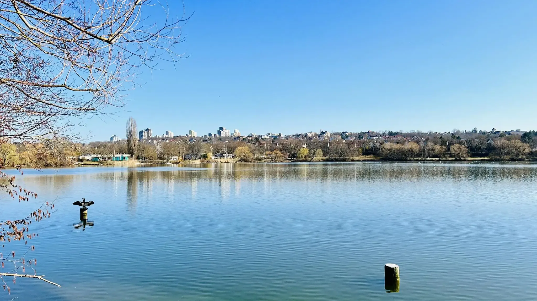
Road cycling routes around Max-Eyth-See are primarily characterized by their proximity to the Neckar River, offering flat riverside paths suitable for various skill levels. The area includes sections through urban landscapes and agricultural zones, with some routes featuring vineyard climbs. The terrain around Max-Eyth-See provides a mix of paved roads and dedicated bike paths, making it accessible for road cyclists. Cyclists can enjoy views of the lake, green spaces, and terraced vineyards rising above the Neckar River.
Best road cycling…
Last updated: October 7, 2026
5.0
(2)
66
riders
38.9km
01:42
340m
340m
Moderate road ride. Good fitness required. Mostly well-paved surfaces and easy to ride.
5
riders
37.6km
01:43
270m
270m
Moderate road ride. Great for any fitness level. Some segments of this route may be unpaved and difficult to ride.

25
riders
60.6km
02:59
870m
870m
Moderate road ride. Good fitness required. Mostly well-paved surfaces and easy to ride.
5.0
(3)
32
riders
41.3km
01:54
400m
400m
Moderate road ride. Good fitness required. Mostly well-paved surfaces and easy to ride.
5.0
(1)
26
riders
87.3km
03:43
690m
690m
Moderate road ride. Good fitness required. Mostly well-paved surfaces and easy to ride.
Get access to more routes and recommendations from other explorers.
Already have an account?
Our route recommendations are based on thousands of hikes, rides, and runs completed by other people on komoot.
Start today with a free account
Your next adventure awaits.
Popular around Max-Eyth-See



Tips from the Community

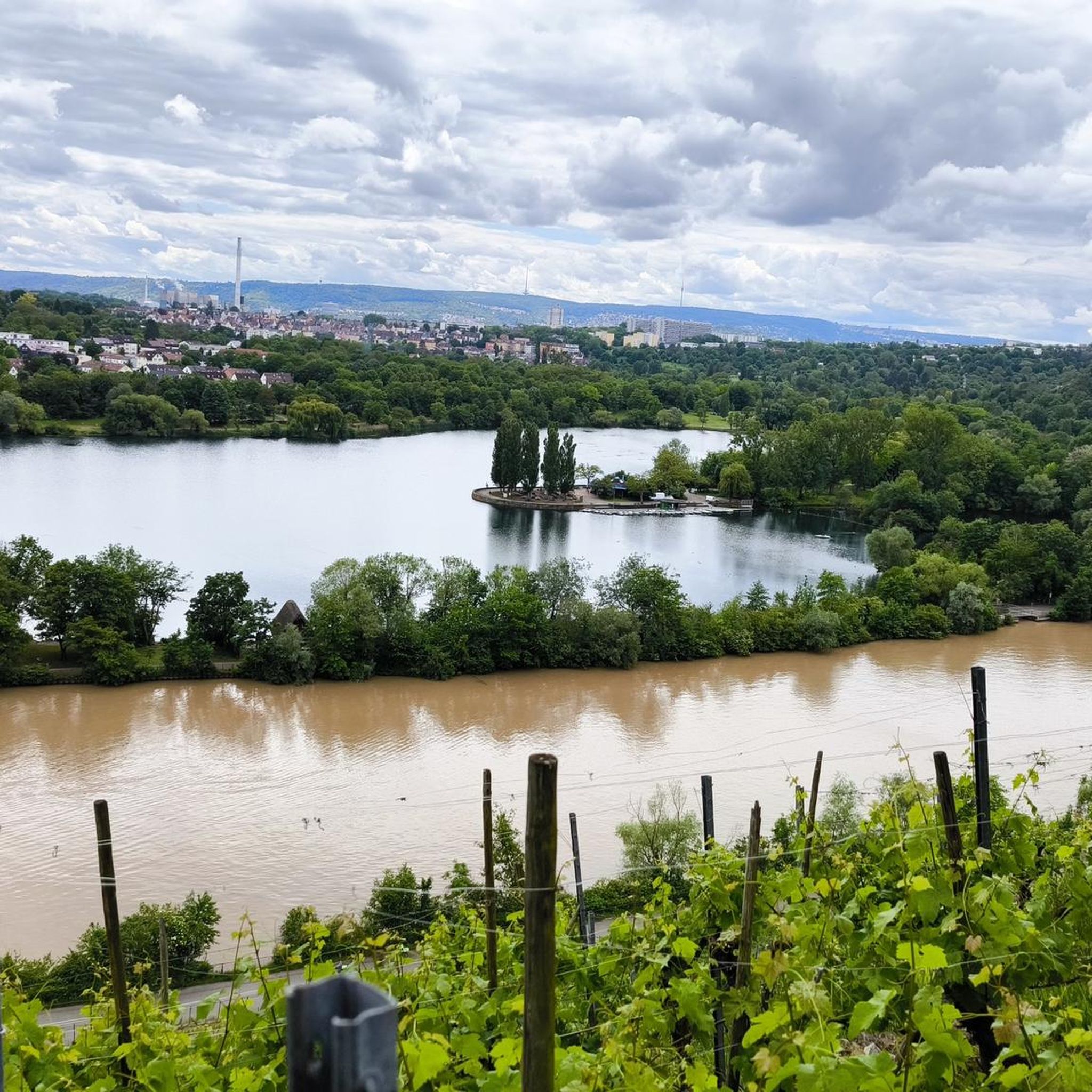
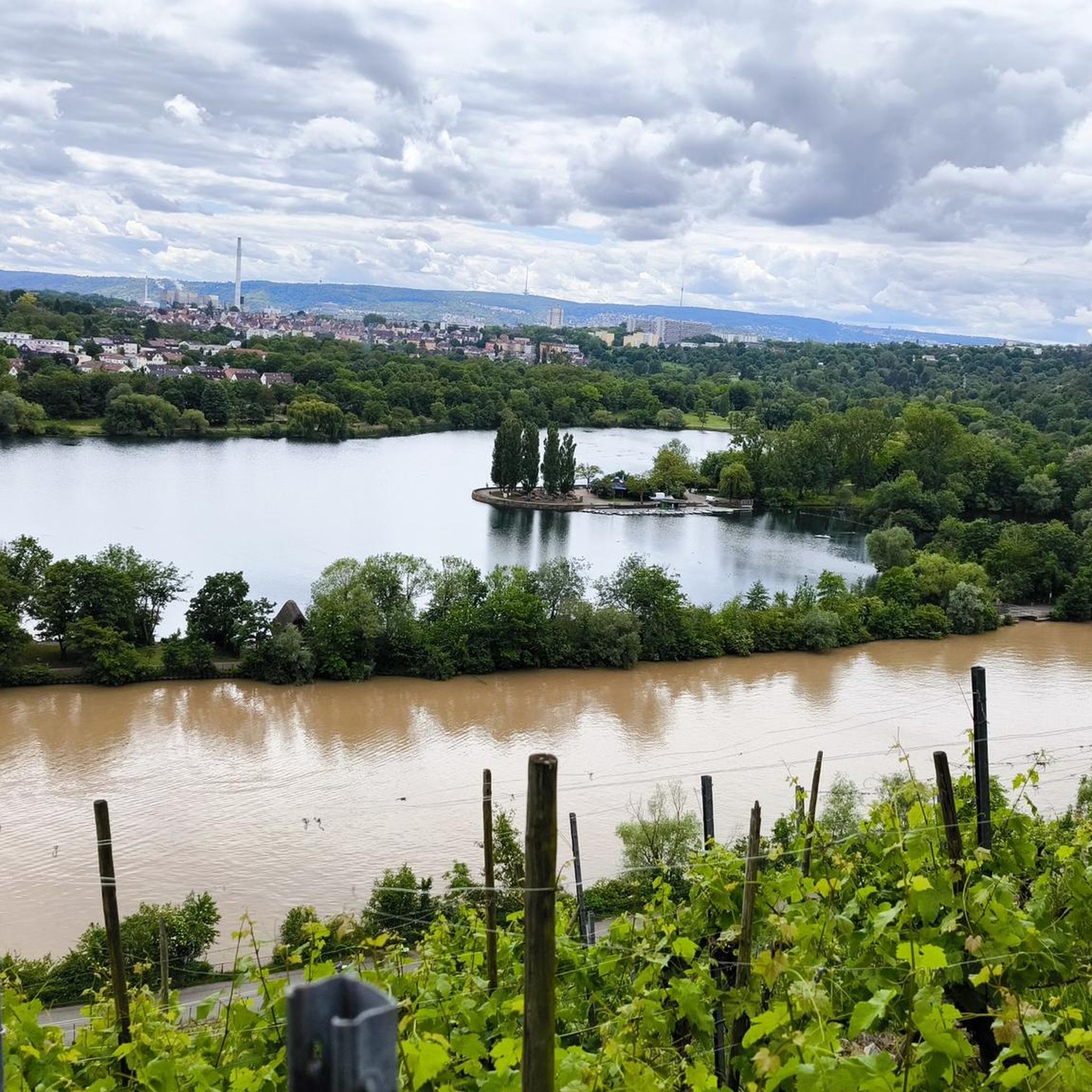
beautiful view of the Neckar
0
0

Here pedestrians and cyclists can cross the Neckar side.
3
0
Nice steep slope. On Sundays the road is closed to traffic and completely free for cyclists and pedestrians.
3
0

The Neckar Cycle Path leads from the source of the Neckar in the Schwenninger Moos near Villingen-Schwenningen to Mannheim, where the Neckar flows into the Rhine.
0
0

The Hofen weir clearly marks the transition from the „Bonatz weirs“ to those of the 1950s: the roller weir, probably co-designed by Bonatz, has the weir bridge over the downstream for the first time since 1927. In the lock built in 1957, a lift-and-turn and a lift-and-slide gate are combined. In the impoundment area is the Max-Eyth-See, which was created in 1935 for a water sports exhibition accompanying the Neckar canalization.
3
0
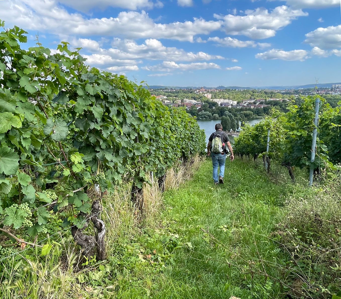
The Cannstatter Zuckerle is a single vineyard site on the Neckar, supported by numerous dry stone walls.
0
0
It is always nice along the Neckar.
1
0
Frequently Asked Questions
What are the typical distances and difficulties of road cycling routes around Max-Eyth-See?
Road cycling routes in the Max-Eyth-See area vary in length and challenge. You'll find routes ranging from around 23 miles (37 km) to over 37 miles (60 km). The difficulty levels are diverse, with options for easy, moderate, and difficult rides, catering to different experience levels. For example, the Path Between the Linden Trees – Neckar Riverside Path loop from Hofen is a moderate 24.3-mile route.
Are there beginner-friendly road bike trails around Max-Eyth-See?
Yes, the Max-Eyth-See area offers several beginner-friendly road cycling options. Many routes follow the Neckar River, providing flat riverside paths that are suitable for those new to road cycling or looking for a more relaxed ride. Out of nearly 400 routes, 67 are classified as easy.
Are there challenging road bike routes near Max-Eyth-See?
For more experienced road cyclists seeking a challenge, the region around Max-Eyth-See includes routes with vineyard ascents and more significant elevation changes. An example is the moderate Reichenbach Cemetery Pass – Climb to Ödernhardt loop from Mühlhausen, which covers over 37 miles (60 km) with substantial elevation gain. There are 93 routes classified as difficult in the area.
Is there parking available for road cyclists at Max-Eyth-See?
Yes, there are parking options available for road cyclists. You can find free parking, for instance, opposite Max-Eyth-See. A specific highlight for this is Free parking opposite Max-Eyth-See.
How can I reach the Max-Eyth-See bike trails using public transport?
Max-Eyth-See is well-connected by public transport within Stuttgart. You can typically reach the area by tram or bus, with stops conveniently located near the lake, making it easy to start your road cycling tour without a car.
Are there family-friendly road cycling routes suitable for all ages around Max-Eyth-See?
The flat sections along the Neckar River are ideal for family-friendly road cycling. These paths offer a safe and enjoyable environment for cyclists of all ages, allowing families to ride together without significant challenges. Look for routes categorized as 'easy' for the most suitable options.
What is the best season for road cycling around Max-Eyth-See?
The best season for road cycling around Max-Eyth-See is generally from spring to autumn. During these months, the weather is most favorable, with pleasant temperatures and less chance of rain, making for comfortable riding conditions along the riverside paths and through the vineyards.
Are there places to eat or drink along the road cycling routes near Max-Eyth-See?
Yes, you'll find various options for refreshments along the routes. The Meeting Point Am See Beer Garden & Restaurant is a popular spot directly at Max-Eyth-See. Many routes also pass through urban areas or small towns where cafes and pubs are available.
What scenic viewpoints can I find along the road cycling routes?
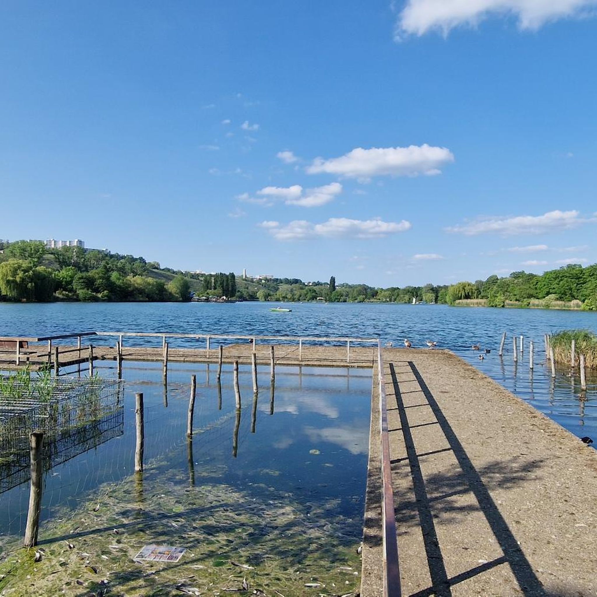
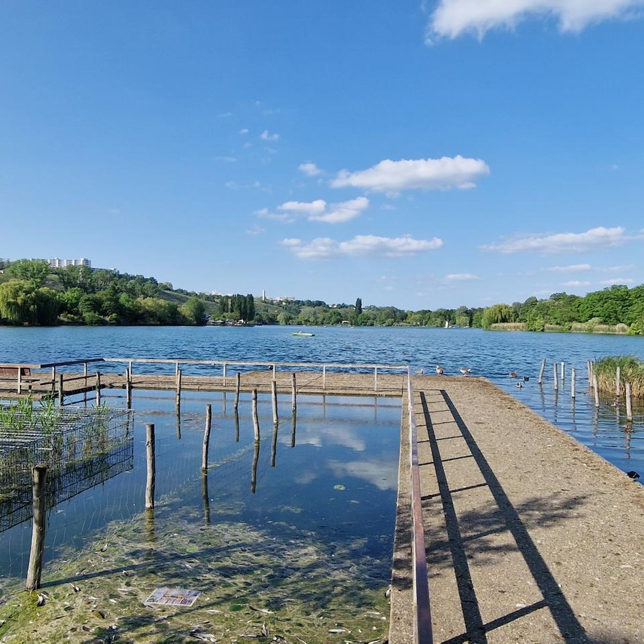
The road cycling routes around Max-Eyth-See offer several scenic viewpoints. You can enjoy beautiful vistas of the vineyards on the Neckar, such as the View of the vineyards on the Neckar, or relax at a Bench by the Max-Eyth-See dock with lake views.
Are most road cycling routes around Max-Eyth-See loop trails?
Many of the road cycling routes in the Max-Eyth-See area are designed as convenient loop trails, allowing you to start and end your ride at the same point. This is particularly true for routes following the Neckar River, such as the Cannstatter Zuckerle Vineyards – Lodzer Steg Pedestrian and Bicycle Bridge loop from Max-Eyth-See.
What do other road cyclists enjoy the most about road cycling in Max-Eyth-See?
The area is highly rated by the komoot community, with an average score of 4.4 stars from over 1,900 reviews. Road cyclists often praise the consistent surfaces of the Neckar riverside paths, the blend of flat sections with gentle undulations, and the scenic vineyard areas.
Are there any historical landmarks along the road cycling routes?
Yes, you can encounter historical sites while cycling. For example, The Heidenschloss – Roman Estate at Max-Eyth-See is a notable historical landmark that can be explored along some of the routes.
Most popular routes around Max-Eyth-See
Most popular attractions around Max-Eyth-See

Get inspired with the komoot mobile app


Explore more
Browse the best Road cycling routes in other regions.
