The best gravel rides in Angel Island State Park
4.5
(7)
204
riders
9
rides
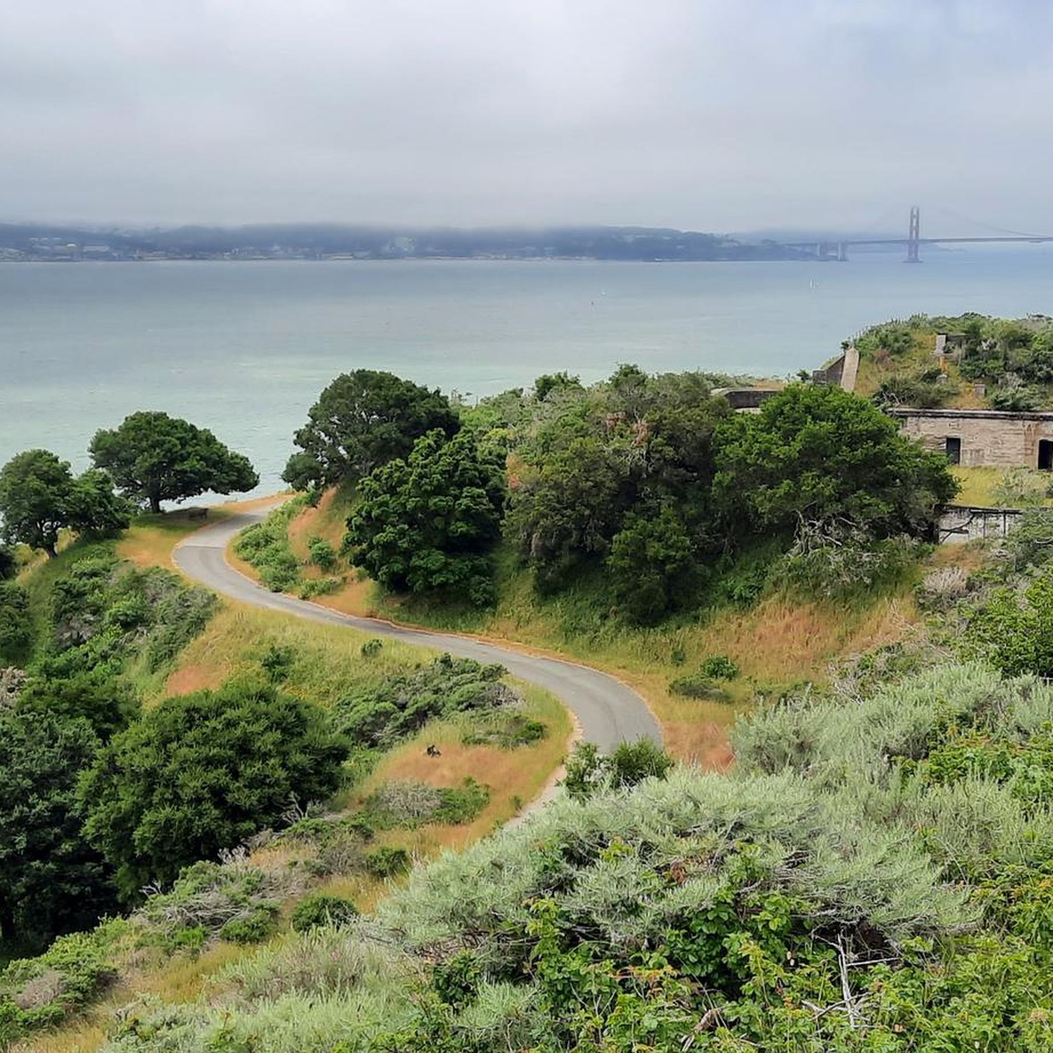
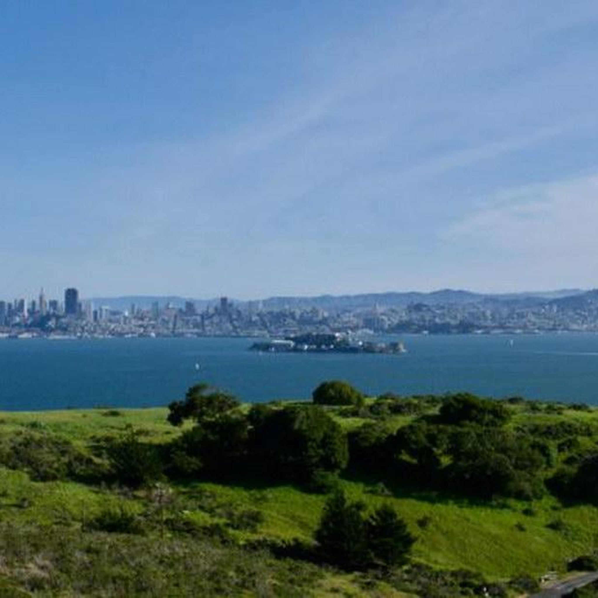
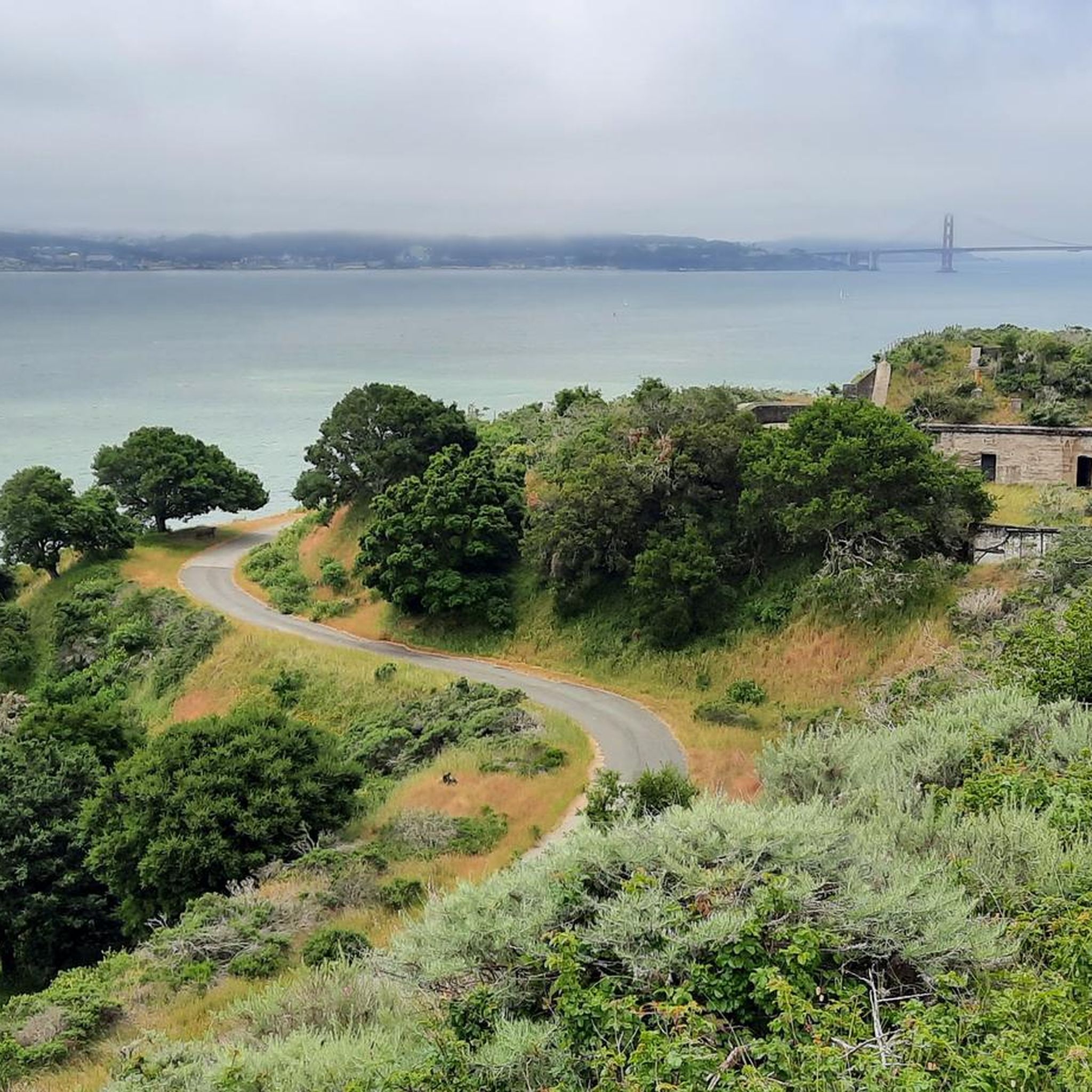
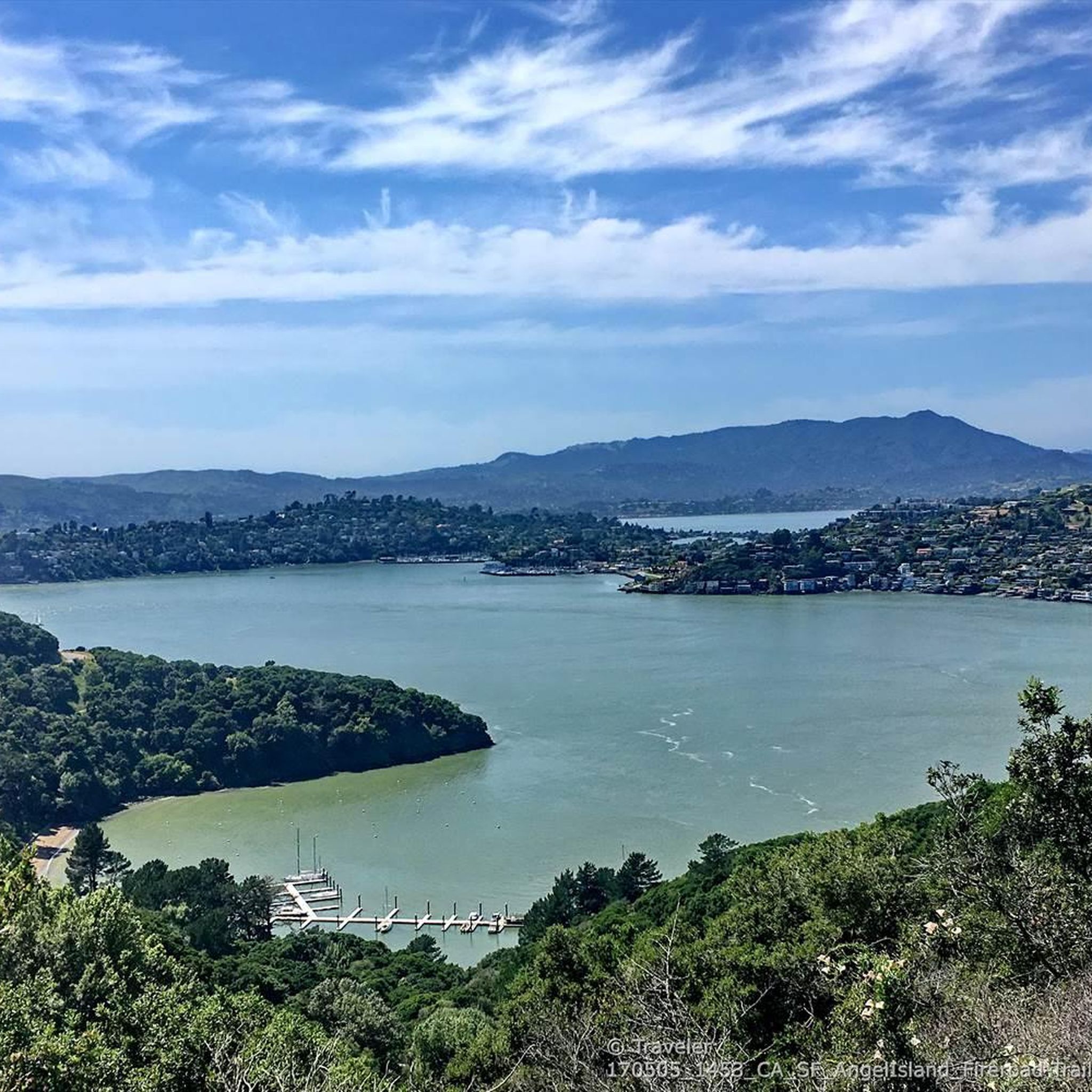
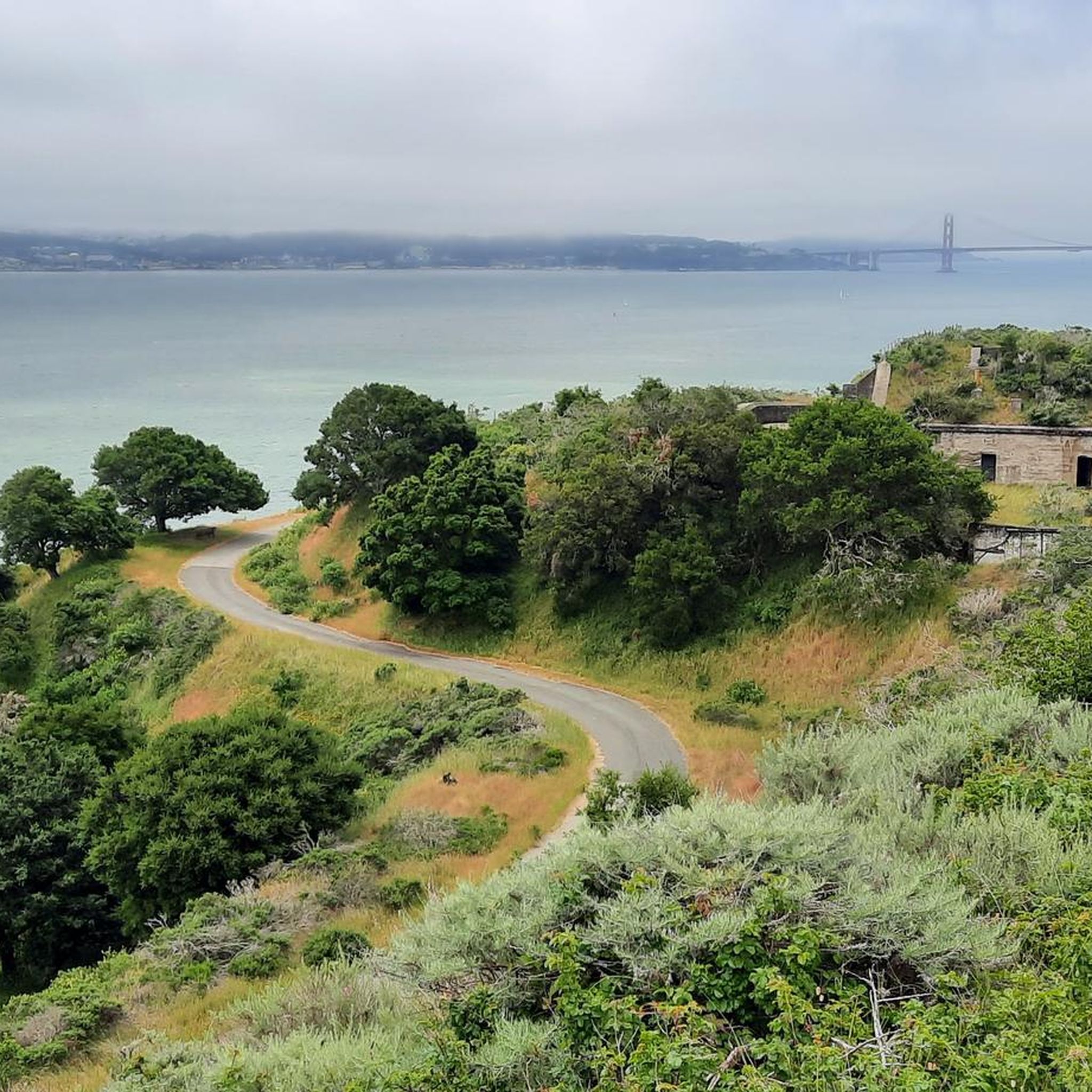
Gravel biking in Angel Island State Park offers varied terrain across a 740-acre mountainous island in the San Francisco Bay. The park features a mix of mostly paved roads with gravelly sections and unimproved dirt fire roads. Riders can navigate gradual uphill and downhill sections, as well as level stretches, through diverse ecosystems including eucalyptus forests, grassland meadows, rocky coves, and sandy beaches. The island's highest point, Mount Livermore, stands at nearly 800 feet, offering panoramic views of the San Francisco skyline, Golden Gate Bridge, and Alcatraz.
Best gravel bike trails in Angel Island State Park
- The most popular gravel bike trail is Golden Gate Vista Point – Presidio Promenade loop from San Francisco Maritime National Historical Park, a 19.6 miles (31.6 km) trail that takes about 2 hours 10 minutes to complete. This moderate route offers expansive views of the Golden Gate Bridge and the Presidio.
- Another top favourite among local gravel bikers is Sausalito — Mill Valley Path – Tennessee Valley Trailhead loop from Sausalito, a difficult 18.5 miles (29.7 km) path. This route combines paved sections with more rugged terrain, leading through scenic coastal areas.
- Local gravel bikers also love the Golden Gate Bridge – Presidio Promenade loop from Chinatown-Rose Pak, a 52.9 miles (85.2 km) trail leading through urban landscapes and iconic viewpoints, often completed in about 6 hours 5 minutes.
- Gravel biking in Angel Island State Park is defined by mountainous terrain, dirt fire roads, and scenic bay views. The network offers options for different ability levels, from gradual climbs to moderately steep sections.
- The routes in Angel Island State Park are highly rated by the komoot community with an average score of 4.5 stars from over 13 reviews. More than 380 gravel bikers have used komoot to explore Angel Island State Park's varied terrain.
Last updated: July 1, 2026
4.5
(2)
13
riders
27.8km
02:53
890m
890m
Hard gravel ride. Very good fitness required. Mostly paved surfaces. Suitable for all skill levels.
5.0
(3)
76
riders
35.0km
03:01
930m
930m
Hard gravel ride. Very good fitness required. Mostly paved surfaces. Suitable for all skill levels.

Sign up for free
38
riders
63.5km
04:25
1,160m
1,160m
This Sausalito — Mill Valley Path – Alpine Dam loop from Marin City offers a varied cycling experience, blending flat paved multi-use paths with challenging road climbs and opportunities for gravel sections. You'll start with picturesque views of Richardson Bay and Mount Tamalpais from the Mill Valley-Sausalito Multiuse Pathway before ascending into the Mount Tam Watershed, where redwood forests and lakes provide a dramatic backdrop. The route culminates with panoramic vistas of the Pacific Ocean and San Francisco Bay from Ridgecrest, making it a truly iconic Marin County ride.
Rated as "difficult," this 39.5-mile (63.5 km) route involves a substantial 3794 feet (1156 metres) of elevation gain, typically taking around 4 hours and 24 minutes to complete. While the initial pathway is easy, the Alpine Dam loop introduces significant climbing, with steep and twisty sections that demand good fitness. Consider an early start to enjoy quieter roads, especially around Alpine Lake, and ensure you're prepared for a sustained effort.
Known as a "crown jewel" of Marin County cycling, this loop is celebrated for its diverse landscapes and stunning viewpoints. It offers excellent potential for gravel biking enthusiasts to integrate nearby fire roads and trails around Mount Tamalpais for an even greater mixed-surface challenge. The route also traces a former railroad corridor, connecting you to the rich history and natural beauty of the region.
5.0
(1)
57
riders
32.6km
02:21
570m
570m
Hard gravel ride. Very good fitness required. Mostly paved surfaces. Suitable for all skill levels.
Get access to more routes and recommendations from other explorers.
Sign up for free
Already have an account?
Our route recommendations are based on thousands of hikes, rides, and runs completed by other people on komoot.
Start today with a free account
Your next adventure awaits.
Login or Signup
Tips from the Community

Arrival of the magnificent Golden Gate crossing
0
0

Good vantage point.
0
0

Constructed in 1917 this dam forms Alpine Lake, which sites between Kent and Bon Tempe Lakes. The road across the top of the dam make it a great place to ride on a loop around the lake.
0
0
This lake was formed by the building of Alpine Dam in 1917. It sits between Kent Lake and Bon Tempe Lake, and is popular for a variety of outdoor activities.
0
0


A nice place, but the bike parking fee and the price of an ice cream are a complete rip off!
0
0

This tidal sanctuary runs along the Mill Valley-Sausalito Pathway and the Charles F. McGlashan Pathway. More than 400 species of migratory birds rest here after their long flights, and if you pass through in the early morning or late evening, the sunrises and sunsets reflect beautifully on the surface of this 106-acre marsh.
0
0

From easiest to hardest climbs out of phoenix lake from this junction: -Shaver Grade, easy grade, longer, shaded and pretty -Eldridge Grade, medium, good length and can connect you to mt tam east peak -Fish Grade fire road, very steep, we hiked the bikes
1
0
Frequently Asked Questions
What kind of terrain can I expect on gravel bike trails in Angel Island State Park?
Angel Island State Park features a varied landscape for gravel biking. You'll find a mix of mostly paved roads with gravelly sections, such as the 5.5-mile Perimeter Road, and 3.5 miles of unimproved dirt fire roads. Expect gradual uphill and downhill sections, along with level stretches, through diverse ecosystems including eucalyptus forests and grassland meadows.
Are there any family-friendly gravel biking options on Angel Island?
Yes, Angel Island State Park offers routes suitable for families. The Perimeter Road, for instance, is mostly paved with gravelly sections and features gradual inclines, making it enjoyable for various fitness levels. It's described as a 'fun day on the bike without cars,' providing a pleasant experience for families.
What are the best viewpoints or natural features to see while gravel biking on Angel Island?
Gravel biking on Angel Island offers spectacular views. You'll be rewarded with panoramic vistas of the San Francisco skyline, the Golden Gate Bridge, Alcatraz, and the Marin Headlands. A highlight is the 360-degree view from Mount Livermore, the island's highest peak. You can also explore serene grassland meadows, rocky coves, and sandy beaches like Quarry Beach and Perles Beach. Don't miss the Sunset Trail lookout for breathtaking scenery.
What historical landmarks can I explore on Angel Island while biking?
Angel Island is rich in history. You can visit the U.S. Immigration Station, often called the 'Ellis Island of the West,' which operated from 1910 to 1950. Other historical sites include remnants of its military past, such as Camp Reynolds from the Civil War and Fort McDowell. Be sure to check out the Immigration Station - Angel Island and Point Blunt & Nike Missile site.
What is the best time of year to go gravel biking in Angel Island State Park?
Angel Island State Park is enjoyable year-round, but spring is particularly beautiful when the landscape bursts with wildflowers. The weather is generally mild, making it a pleasant destination for cycling in most seasons. Always check local weather conditions before your visit.
How can I get to Angel Island State Park, and is there parking available?
Angel Island State Park is accessible by ferry from various locations, including San Francisco, Tiburon, and Oakland/Alameda. Since it's an island, there is no parking directly on the island for private vehicles. You would typically park at the ferry departure points on the mainland. For ferry schedules and departure points, you can visit the official California State Parks website: parks.ca.gov/angelisland.
Are there any challenging gravel bike routes for experienced riders?
Yes, beyond the main Perimeter Road, Angel Island features 3.5 miles of unimproved dirt fire roads. These routes present moderately steep but short climbs, and some more challenging segments may require riders to dismount and walk their bikes. For a longer, more challenging ride that includes significant elevation, consider the Golden Gate Bridge – Golden Gate Bridge loop from Chinatown-Rose Pak, which offers over 1500 meters of elevation gain.
What kind of wildlife can I spot while gravel biking on Angel Island?
Angel Island is home to diverse wildlife. You might spot deer and various songbirds, including robins, hummingbirds, hawks, and herons. Offshore, sea lions and pelicans can often be observed. The island's diverse ecosystems, from eucalyptus forests to rocky coves, provide habitats for these creatures.
What do other gravel bikers enjoy most about gravel biking in Angel Island State Park?
The komoot community highly rates Angel Island State Park, with an average score of 4.3 stars from over 8 reviews. Riders frequently praise the unparalleled panoramic views of the San Francisco Bay Area, the unique blend of natural beauty and historical sites, and the car-free cycling experience on the Perimeter Road. The varied terrain, from paved sections to dirt fire roads, also contributes to its appeal.
Are there any long-distance gravel bike routes that connect to Angel Island?
While Angel Island itself offers a contained network of trails, you can combine a visit with longer rides on the mainland. For example, the Tiburon Linear Park Bike Trail – Corte Madera Pathway loop from Tiburon is a challenging 92 km route with significant elevation that could be part of a larger adventure, accessed via ferry to Angel Island.
Can I find any loop trails for gravel biking on Angel Island?
Yes, the primary cycling route on Angel Island is the 5.5-mile Perimeter Road, which forms a loop around the island. This route is ideal for gravel bikes, offering a continuous ride with stunning views. Additionally, the network of fire roads can be incorporated to create extended loop experiences.
Are there any cafes or amenities available on Angel Island?
Angel Island State Park has limited amenities. There is a cafe and gift shop located at Ayala Cove - Angel Island Ferry Landing, where the ferry arrives. It's advisable to bring your own water and snacks, especially if you plan to explore the more remote parts of the island, as options are not widespread.
Most popular routes in Angel Island State Park
Most popular attractions in Angel Island State Park

Get inspired with the komoot mobile app


Explore more
Browse the best Gravel rides in other regions.
