The best road cycling routes in Angel Island State Park
4.6
(246)
11,840
riders
64
rides
Road cycling in Angel Island State Park offers routes with panoramic views of the San Francisco Bay Area. The island is characterized by its mountainous terrain, with Mount Livermore as its highest point, providing elevated perspectives. While the island itself features a 5.5-mile Perimeter Road, the surrounding region provides additional road cycling routes that traverse coastal paths and offer views of the bay. The area combines natural landscapes with accessible paved surfaces suitable for road cyclists.
Best road cycling routes…
Last updated: July 10, 2026
7
riders
Easy road ride. Great for any fitness level. Mostly well-paved surfaces and easy to ride.
5.0
(3)
192
riders
26.3km
01:12
270m
270m
Easy road ride. Great for any fitness level. Mostly well-paved surfaces and easy to ride.

Sign up for free
5.0
(11)
302
riders
42.0km
01:52
360m
360m
Embark on the San Francisco Bay Trail: Tiburon Loop, a moderate road cycling route spanning 26.1 miles (42.0 km). You will experience diverse scenery, from views of Sausalito across Richardson…
4.9
(7)
164
riders
Easy road ride. Great for any fitness level. Mostly well-paved surfaces and easy to ride.
3.0
(1)
36
riders
22.1km
01:09
290m
290m
Easy road ride. Great for any fitness level. Mostly well-paved surfaces and easy to ride.
Get access to more routes and recommendations from other explorers.
Sign up for free
Already have an account?
Our route recommendations are based on thousands of hikes, rides, and runs completed by other people on komoot.
Start today with a free account
Your next adventure awaits.
Login or Signup
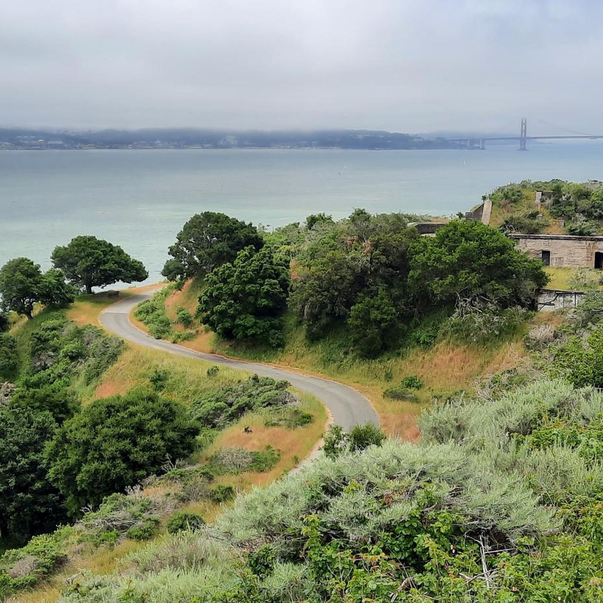

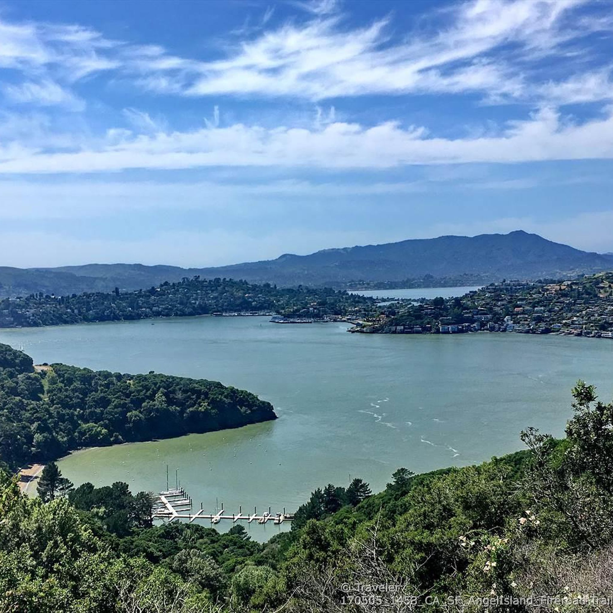
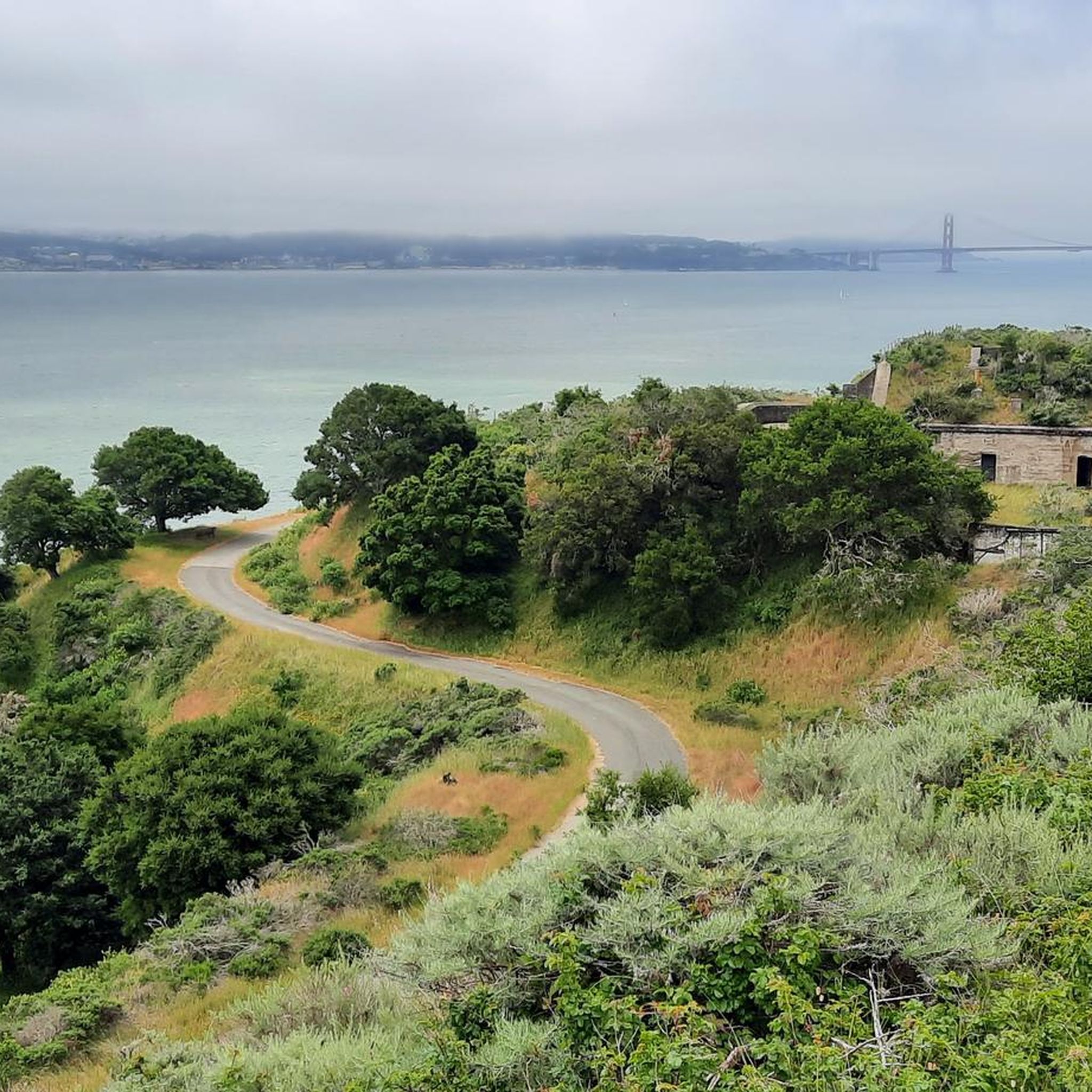
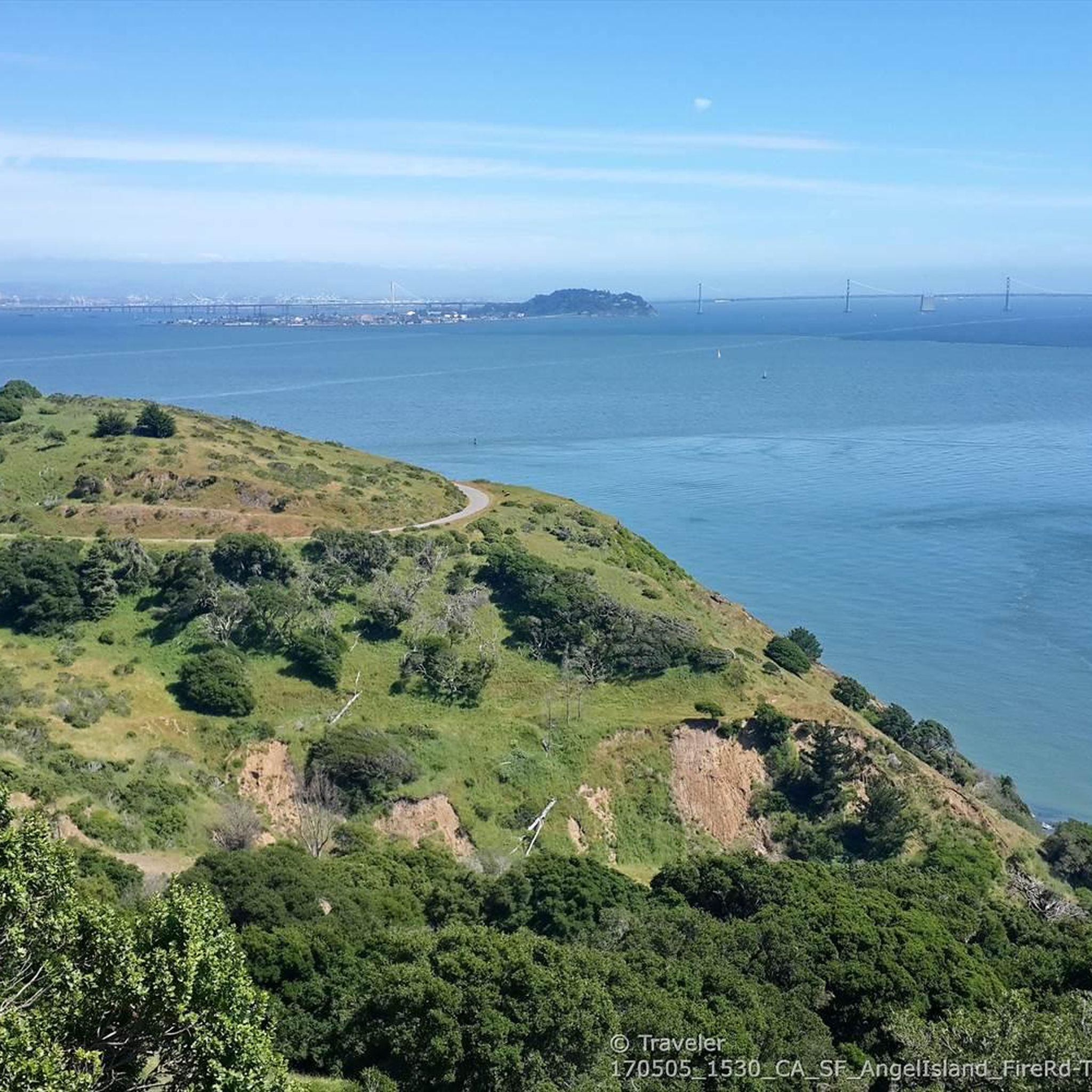
Tips from the Community

Tiburon Harbor is a picturesque waterfront location with sweeping views of San Francisco Bay and Angel Island. Once a bustling railroad and ferry hub, it's now a charming spot for visitors with its marina, restaurants, historic Main Street, and scenic walking paths. The harbor is a popular gateway to outdoor adventures, from sailing and kayaking to catching the ferry for a day of hiking on Angel Island.
0
0
The Old Tiburon Rail Trail is a scenic 2.6-mile path along the San Francisco Bay, with breathtaking water views and Mt. Tamalpais. Starting at Blackie's Pasture, it winds past coastal mudflats full of wildlife before transitioning into an on-street bike lane leading to downtown Tiburon. It's a fantastic, smooth ride with historical markers, parks, and a ferry terminal at the trail's end, making it an ideal place to enjoy nature and local history for a day away from the big city.
0
1
The Tiburon Terminal is a ferry landing for the Golden Gate and Angel Island–Tiburon Ferry's providing a connection from Marin County across the San Francisco Bay. From here, you can catch a ferry to Angel Island, San Francisco, or take the China Basin Ferry to see a Giants game. Bikes are welcome on all vessels on a first-come, first-serve basis.
0
0
The Sausalito houseboat community is full of architectural gems and repurposed old working boats, and each is wonderfully unique. Bikes are not allowed on the dock, so you must park your bike to get a closer look; however, remember to be respectful when visiting, as these are residential homes, and you are close to someone's living space.
0
0

There are, indeed, horses on this hill. Connector path between Mill Valley and Corte Madera, easier than Camino alto. The alto tunnel is still closed, learn more here: https://openaltotunnel.org/
0
0

Bicycle friendly cafe and bookstore
0
0

Sausalito is a nice place to see (the skyline of) San Francisco from. But there is also a lot of tourism here and if you think you can eat cheaper here, you are unfortunately on the wrong track :-).
1
1

The ferry connects Tiburon to San Francisco in the quickest and shortest route.
0
0
Frequently Asked Questions
How many road cycling routes are available in Angel Island State Park?
Angel Island State Park and its surrounding areas offer over 60 road cycling routes. These routes cater to various skill levels, with more than 35 easy options, 20 moderate routes, and a few more challenging trails for experienced riders.
What is the best time of year to go road cycling in Angel Island State Park?
Angel Island State Park is enjoyable for road cycling year-round. However, spring is particularly beautiful, as the island bursts with varied and abundant wildflowers. The weather is generally mild, making it pleasant for outdoor activities.
What kind of terrain can I expect on road cycling routes in Angel Island State Park?
The terrain on Angel Island is mountainous, with Mount Livermore as its highest point. The main 5.5-mile Perimeter Road is paved and offers a mostly gentle ride with gradual uphill and downhill sections. While generally flat, there are a few challenging hills. Routes in the surrounding region may include coastal paths and varied landscapes like eucalyptus groves and grassy chaparral.
Are there any family-friendly road cycling routes on Angel Island?
Yes, the 5.5-mile Perimeter Road on Angel Island is largely car-free and offers a mostly gentle ride, making it suitable for families. Bike rentals, including electric bikes, are available on the island, making exploration accessible for various fitness levels. For routes off the island, options like the Horse Hill Bike Path – Paradise Beach County Park loop from Tiburon are rated as easy and offer scenic views.
What historical sites and natural features can I see while cycling on Angel Island?
Angel Island is rich in history and natural beauty. Along the routes, you can explore sites like the Angel Island Immigration Station, often called the 'Ellis Island of the West,' and military installations such as Camp Reynolds and the Nike missile site at Point Blunt. Natural features include panoramic views from Mount Livermore summit, diverse ecosystems, and tranquil spots like Quarry Beach and Perles Beach.
How do I get to Angel Island State Park with my road bike?
Angel Island State Park is accessible by ferry from Tiburon or San Francisco. Both ferries accommodate bicycles. The ferry ride itself offers stunning views of the San Francisco Bay, setting the stage for your cycling adventure.
Can I rent a road bike on Angel Island?
Yes, bike rentals, including electric bikes, are available directly on Angel Island. This makes it convenient for visitors who do not bring their own bikes to explore the island's cycling routes.
What do other road cyclists enjoy most about road cycling in Angel Island State Park?
The road cycling experience in Angel Island State Park is highly rated by the komoot community, with an average score of 4.8 stars. Reviewers often praise the continuous 360-degree panoramic views of the San Francisco skyline, Golden Gate Bridge, Alcatraz, and the Marin Headlands, especially from the Perimeter Road and viewpoints like the Sunset Trail lookout.
Are there any challenging road cycling climbs on Angel Island?
While the 5.5-mile Perimeter Road on Angel Island is generally gentle, it does include a few challenging hills that may appeal to more experienced riders looking for a workout. For routes with more significant elevation, consider options like the San Francisco Bay Trail: Tiburon Loop, which features gradual climbs.
Where can I find parking if I'm taking a ferry to Angel Island with my bike?
Parking is available near the ferry terminals in Tiburon and San Francisco. It is advisable to check the specific parking options and rates for the ferry departure point you plan to use, as availability and cost can vary.
Are there any cafes or places to eat near the Angel Island ferry terminals?
Yes, both Tiburon and San Francisco, the departure points for ferries to Angel Island, offer a variety of cafes, restaurants, and other amenities where you can grab a bite or a drink before or after your ride.
What are some popular road cycling routes in the region surrounding Angel Island State Park?
Beyond the island itself, popular regional routes include the Sausalito Path – Camino Alto Road loop from Sausalito, an easy path featuring urban and natural scenery. Another favorite is the Tiburon Linear Park Bike Trail – Sausalito Path loop from Sausalito, offering coastal views.
Most popular routes in Angel Island State Park
Most popular attractions in Angel Island State Park

Get inspired with the komoot mobile app


Explore more
Browse the best Road cycling routes in other regions.
