The best running trails in Angel Island State Park
4.8
(122)
15,980
runners
231
runs
Jogging in Angel Island State Park offers diverse landscapes and panoramic views across San Francisco Bay. The mountainous island features a mix of eucalyptus forests, grassland meadows, and scenic coastlines, providing varied running surfaces from paved roads to unpaved trails. Runners can experience different natural environments, including beaches and areas with varied wildlife. The terrain includes small hills and some sections with roots and rocks.
Best jogging routes in Angel Island State Park
- The most popular jogging route is North…
Last updated: May 27, 2026
12
runners
6.79km
00:54
200m
200m
Moderate run. Good fitness required. Mostly paved surfaces. Suitable for all skill levels.
5.0
(3)
133
runners
21.8km
02:17
130m
130m
Hard run. Very good fitness required. Mostly paved surfaces. Suitable for all skill levels.

Sign up for free
49
runners
7.56km
00:47
20m
20m
Moderate run. Good fitness required. Mostly paved surfaces. Suitable for all skill levels.
6
runners
7.49km
00:48
90m
90m
Moderate run. Good fitness required. Mostly paved surfaces. Suitable for all skill levels.
27
runners
6.51km
00:42
90m
90m
Moderate run. Good fitness required. Mostly paved surfaces. Suitable for all skill levels.
Get access to more routes and recommendations from other explorers.
Sign up for free
Already have an account?
Our route recommendations are based on thousands of hikes, rides, and runs completed by other people on komoot.
Start today with a free account
Your next adventure awaits.
Login or Signup
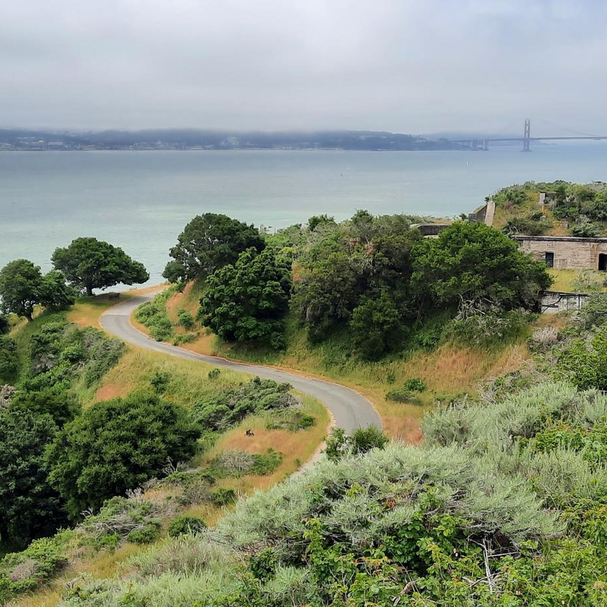

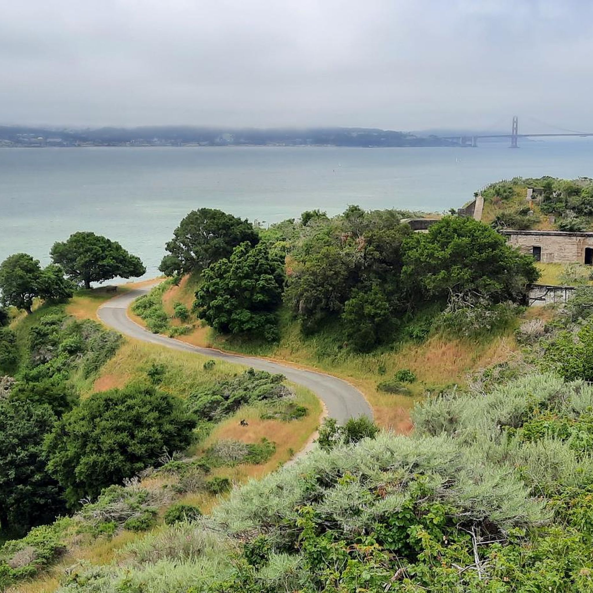
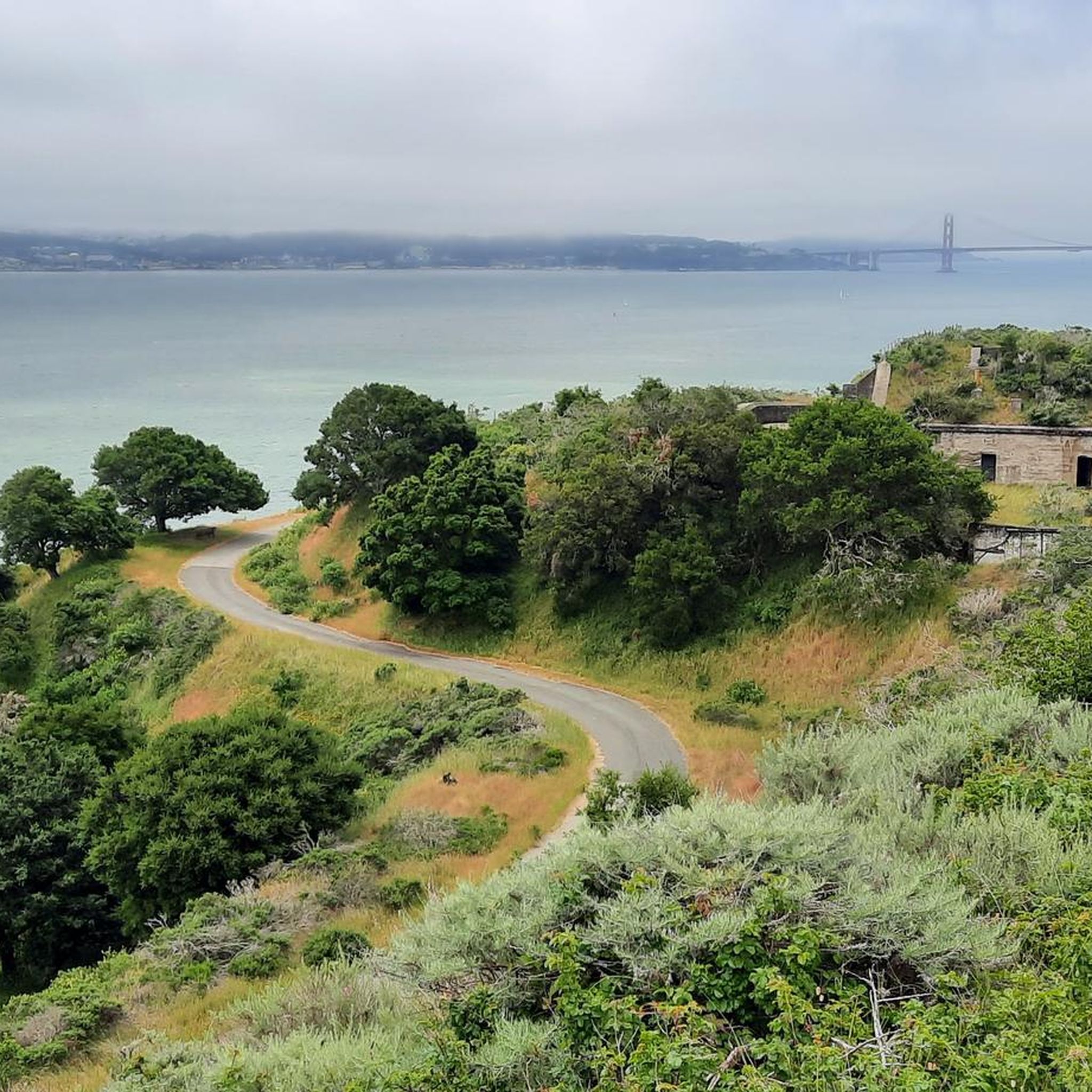
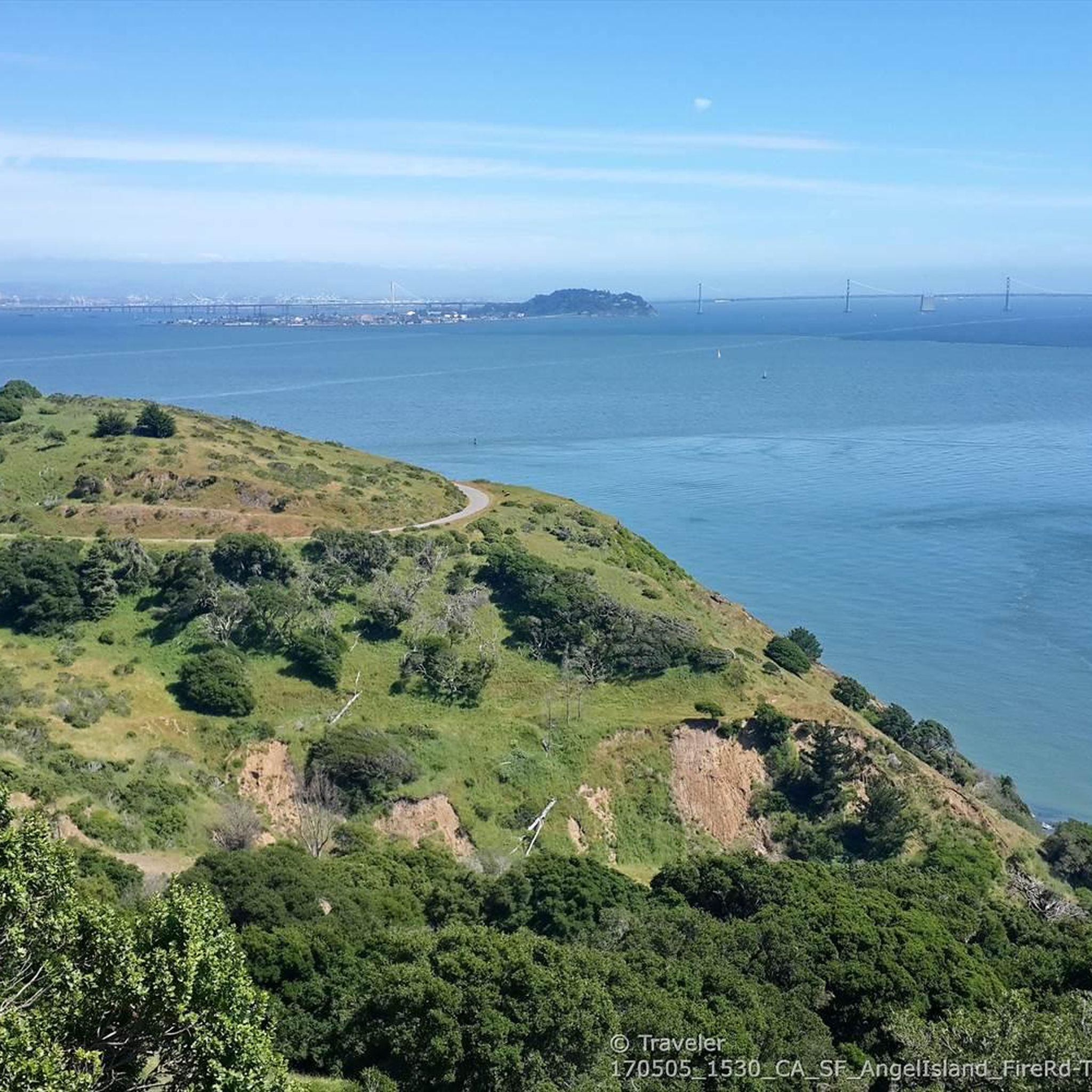
Tips from the Community

Looks especially beautiful at night
0
0

This mostly unpaved trail runs along the shoreline, offering great views of not just the Golden Gate Bridge but also Alcatraz and Crissy Marsh. You'll share the trail with slower walkers, but generally there is plenty of space to run.
0
0

The Angel Island Ferry Landing in Ayala Cove offers regular passenger ferry service to Tiburon and San Francisco. The Angel Island to Tiburon Ferry provides a 15-minute crossing of the Racoon Strait to the Tiburon Ferry Terminal. The island is car-free, providing safe trails to hikers and bikers. Unlike the Tiburon and Sausalito ferry piers, private boats can moor at Ayala Cove Pier under Angel Island State Park's rules. Late in the day, lines can grow long, and on busy dates, visitors may be left waiting at the pier when the ferry reaches capacity.
1
0


This island is the largest in San Francisco Bay, with a long history. It has been a hunting and gathering location for the local native tribes, a haven and supply stop for Spanish explorers, a cattle ranch, a place to process hundreds of thousands of immigrants, and a refuge for the military dating back to the Civil War era, up to the 1960s. The island's transition into a California State Park took over to protect the remains of the former immigration and quarantine stations, as well as military defense installations, and allow visitors to enjoy this beautiful hidden gem surrounded by the urban Bay area. Ayala Cove is the landing area for Angel Island State Park and is only accessible by ferry. It is a passage from Tiburon or a longer ride from San Francisco. From here, the entire island is car-free and reserved for hikers and bikers to explore this fantastic island.
1
0
"Old Town" is the original Whaler's Cove and the location of the first homes and roads in Sausalito. In the mid-1800s, a hillside in this area was filled with mines to feed a manganese smelting operation when the mineral's price spiked and the demand soared. The neighborhood is primarily a residential area, with a nickname of "Hurricane Gulch" due to the strong winds that come through here in the afternoons. Keep an eye out for North, East, West, and South Streets in this neighborhood as they mark the original 150-year-old borders of early Sausalito. There is an Italian restaurant here and the award-winning Golden Gate Market Deli, which serves excellent sandwiches!
0
0

A highlight of every SF tour, information center and round café to enjoy the view. Bridge Easily accessible on foot
2
0

Good views of the city and Alcatraz weather permitting
0
0
Frequently Asked Questions
How many running routes are available in Angel Island State Park?
Angel Island State Park offers a wide variety of running options, with over 240 routes available. These range from easy strolls to more challenging climbs, catering to different fitness levels and preferences.
Are there easy running routes suitable for beginners or casual joggers?
Yes, Angel Island State Park has several easy running routes. The most popular choice is the 5-mile paved Perimeter Road loop that encircles the island, offering continuous scenic views and a mostly flat profile. While not directly on the island, the Richardson Bay Park loop from Tiburon is another moderate option with minimal elevation, providing a steady running experience.
What are some challenging running trails for experienced runners?
For those seeking a more challenging run, the North Ridge and Sunset Trail Loop is an excellent choice. This 4.2-mile route features over 660 feet (200 m) of elevation gain, leading to extensive vistas from Mount Caroline Livermore summit. Another option for a longer, more demanding run is the Aquatic Park Beach – Marina Yacht harbor ⛵ loop from Alcatraz Island, which is over 21 km long.
Can I enjoy panoramic views while jogging on Angel Island?
Absolutely! Angel Island is renowned for its unparalleled 360-degree views. Joggers can enjoy stunning vistas of the San Francisco skyline, the Golden Gate Bridge, Alcatraz, the Marin Headlands, and Mount Tamalpais from various points, especially from Mount Caroline Livermore and the Sunset Trail lookout.
Are there any historical landmarks or points of interest along the running paths?
Yes, Angel Island is rich in history. As you run, you can encounter significant historical landmarks such as the U.S. Immigration Station, Camp Reynolds, Fort McDowell, and military ruins from various periods. These sites offer fascinating glimpses into the island's past.
Is Angel Island State Park suitable for family jogging outings?
Yes, the park is very family-friendly. The paved Perimeter Road loop is particularly suitable for families, offering a relatively flat and scenic path. The diverse landscapes and historical sites also provide engaging points of interest for all ages during a run or walk.
Are dogs allowed on the running trails in Angel Island State Park?
Dogs are generally allowed on paved roads and fire roads in Angel Island State Park, but must be on a leash no longer than six feet. However, they are not permitted on unpaved trails or in buildings. When traveling by ferry, specific rules apply, so it's best to check with the ferry operator beforehand.
How can I get to Angel Island State Park for a run?
Angel Island State Park is accessible by ferry from Tiburon and San Francisco. The ferry ride itself offers scenic views of Alcatraz and the Golden Gate Bridge. For detailed ferry schedules and information, you might check the official park website at parks.ca.gov/angelisland.
What is the best time of year to go running on Angel Island?
The park is open from 8:00 AM to sunset year-round. Spring and fall often offer the most pleasant weather for running, with mild temperatures and clear skies, enhancing the panoramic views. However, the island's diverse terrain and natural beauty make it a rewarding destination in any season.
Are there any circular running routes on the island?
Yes, the most prominent circular route is the 5-mile paved Perimeter Road loop that encircles the island, offering continuous scenic views. For a more challenging loop with elevation, the North Ridge and Sunset Trail Loop also provides a rewarding circular experience.
What kind of wildlife might I encounter while running?
Angel Island is home to various wildlife. While jogging, you might spot deer and a variety of songbirds in the eucalyptus forests and grassland meadows. Offshore, sea lions and pelicans are commonly seen, adding to the natural experience of your run.
What do other runners say about their experience jogging in Angel Island State Park?
The running routes in Angel Island State Park are highly rated by the komoot community, with an impressive average score of 4.8 stars from over 110 reviews. Runners often praise the diverse landscapes, panoramic bay views, and the mix of forest, grassland, and coastal paths that make each run unique and enjoyable.
How long does it typically take to jog around the entire island?
Jogging the 5-mile Perimeter Road loop, which encircles the island, typically takes around 45-60 minutes, depending on your pace. For routes like the North Ridge and Sunset Trail Loop, which is 4.2 miles with significant elevation, it might take closer to an hour or more.
Most popular routes in Angel Island State Park
Most popular attractions in Angel Island State Park

Get inspired with the komoot mobile app


Explore more
Browse the best Running Trails & Routes in other regions.
