The best gravel rides in Pacific Spirit Regional Park
5.0
(17)
313
riders
3
rides
Gravel biking in Pacific Spirit Regional Park offers an extensive network of multi-use trails within a lush coastal rainforest environment. The park features large gravel paths, dense forests of towering evergreens, and a significant foreshore along the Point Grey Peninsula. The landscape includes small creeks, stream-eroded ravines, and coastal bluffs, providing varied terrain for cycling. Many trails are non-technical, making them suitable for various skill levels.
Best gravel bike trails in Pacific Spirit Regional Park
- The most popular gravel bike trail is View of English Bay – Jericho Beach Park loop from West Point Grey, a 11.7 miles (18.8 km) trail that takes 1 hour 15 minutes to complete. This moderate route offers views of English Bay and passes through varied park landscapes.
- Another top favourite among local gravel bikers is View of English Bay – Spanish Banks loop from West Point Grey, a moderate 15.0 miles (24.2 km) path. This route provides expansive views of English Bay and the Spanish Banks foreshore.
- Local gravel bikers also love the Clinton Trail loop from University of British Columbia, a 5.6 miles (9.1 km) trail leading through the park's dense forest, often completed in about 39 minutes.
- Gravel biking in Pacific Spirit Regional Park is defined by lush forests, a significant foreshore, and multi-use gravel paths. The network offers options for different ability levels, from easy loops to more challenging routes with varied elevation.
- The routes in Pacific Spirit Regional Park are highly rated by the komoot community with an average score of 4.7 stars from over 20 reviews. More than 500 gravel bikers have used komoot to explore Pacific Spirit Regional Park's varied terrain.
Last updated: August 27, 2026
5.0
(3)
5
riders
Moderate gravel ride. Good fitness required. Mostly paved surfaces. Suitable for all skill levels.
2
riders
9.06km
00:40
80m
80m
Easy gravel ride. Great for any fitness level. Mostly paved surfaces. Suitable for all skill levels.

Sign up for free
5.0
(1)
10
riders
25.8km
01:35
280m
280m
Moderate gravel ride. Good fitness required. Mostly paved surfaces. Suitable for all skill levels.
5.0
(13)
296
riders
58.7km
03:36
760m
760m
Hard gravel ride. Very good fitness required. Mostly paved surfaces. Suitable for all skill levels.
Our route recommendations are based on thousands of hikes, rides, and runs completed by other people on komoot.
Start today with a free account
Your next adventure awaits.
Login or Signup
Tips from the Community

Here, the Sasamat Trail meets with the St. Georges Trail. Because the junction is located near the eastern edge of the park, it is highly accessible if you enter from the nearby neighborhood streets like 16th Avenue or Sasamat Street.
0
0
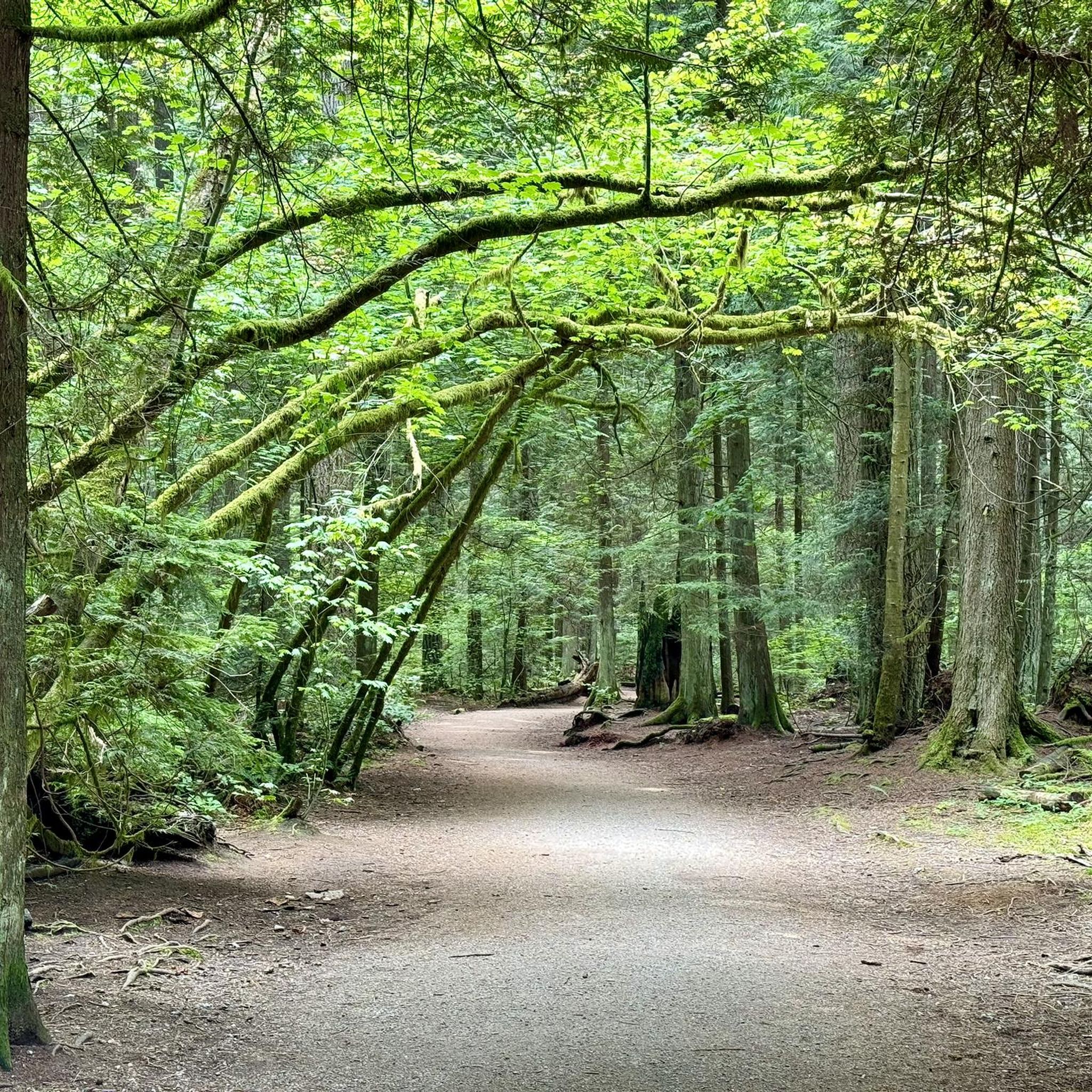
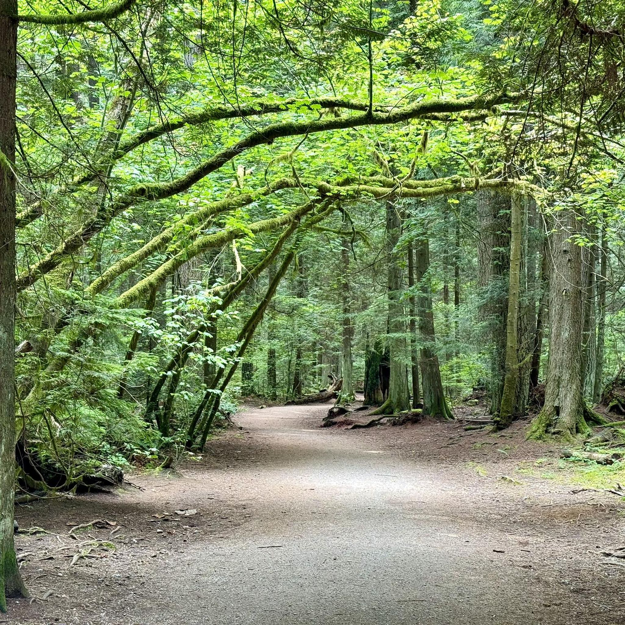
Located within the beautiful Pacific Spirit Regional Park, this wide gravel path is named after the Coast Salish Indigenous peoples who have cared for this land for thousands of years. The path is mostly flat and easy to navigate, making it perfect for a relaxing stroll, a morning run, or a bike ride.
1
0
You should know that Acadia Beach is part of a larger area that includes clothing-optional sections further along the coast. Because it is a natural park, there are no lifeguards on duty, so you should be careful if you decide to dip your toes in the cold water. It is a perfect spot for you to enjoy a peaceful picnic.
0
0

On the east side of the bridge’s northern end, near the base of the bridge is a memorial to honor 27 workers who lost their lives on June 17, 1958, when a section of the original Second Narrows Bridge collapsed during construction.
0
0

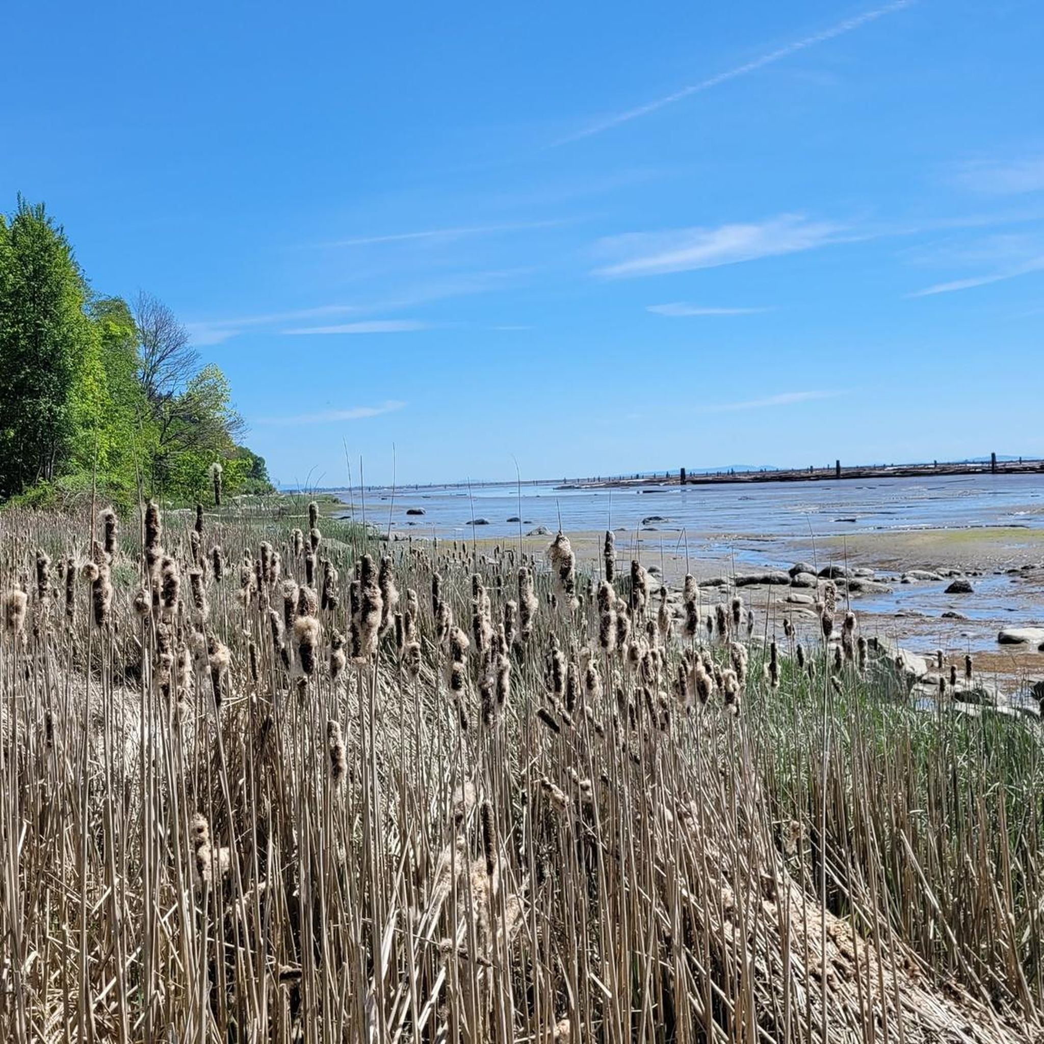
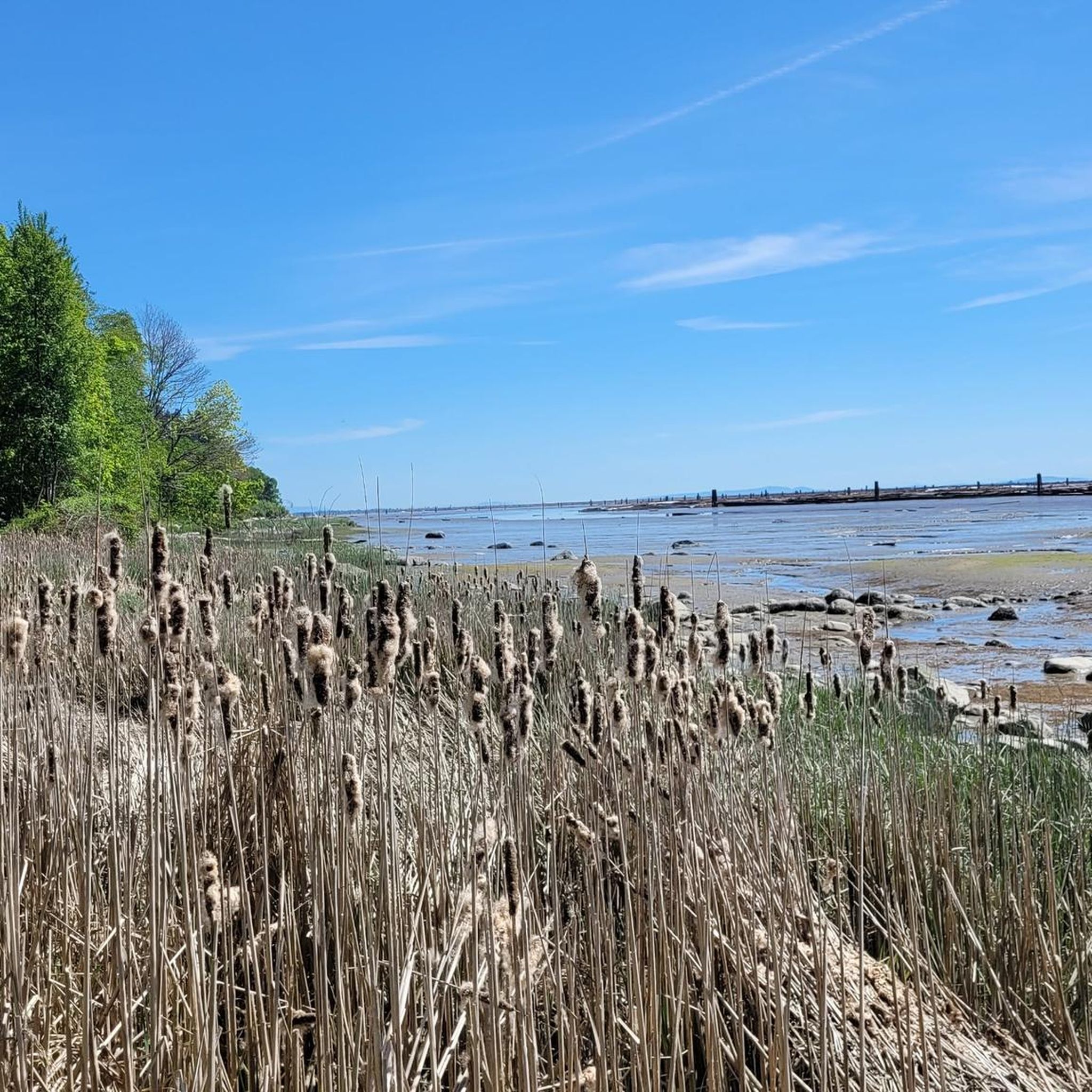
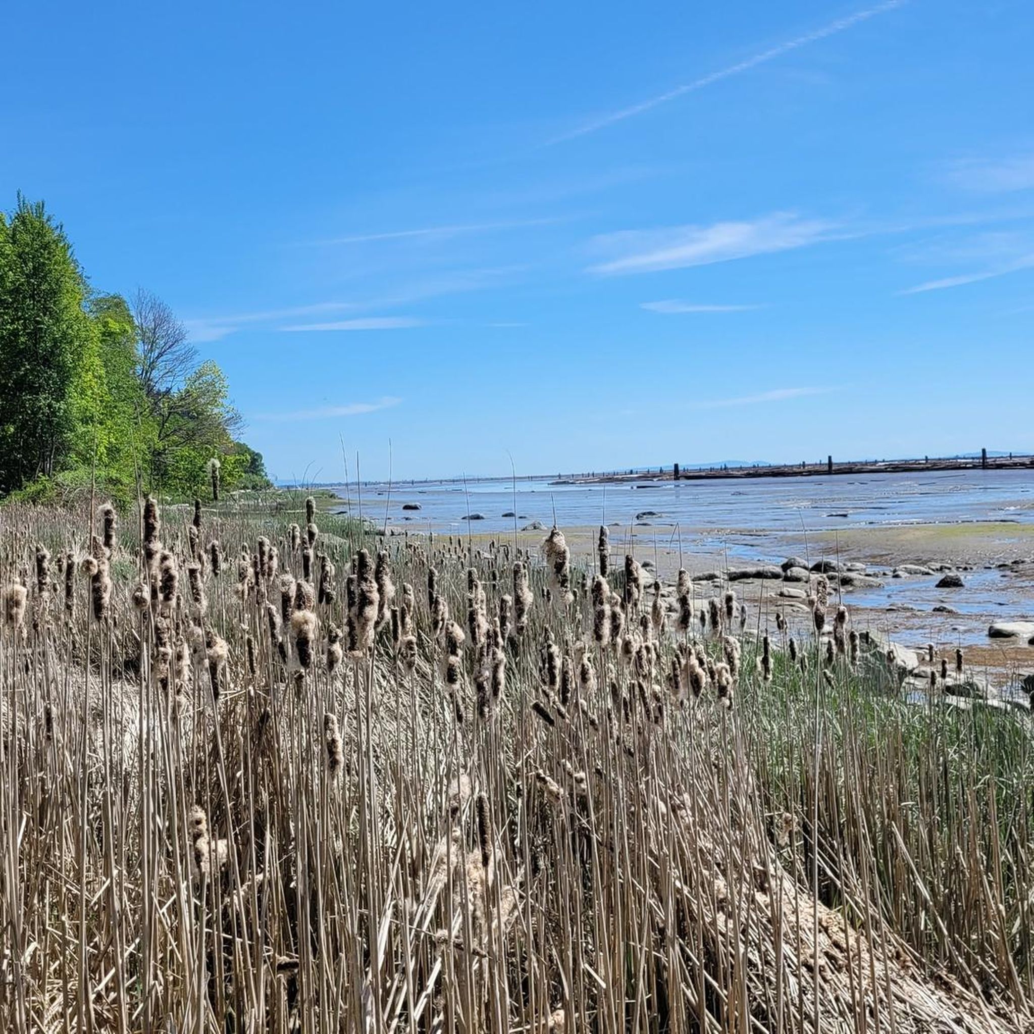
Tucked below the cliffs of Pacific Spirit Regional Park, Acadia Beach is a quiet stretch of shoreline overlooking Burrard Inlet. Driftwood logs, smooth stones, and views across to the North Shore make it a peaceful spot to rest after a forest walk on the Sword Fern Trail.
0
0

A nice monument to workers who lost their lives.
0
0

The Seymour River Suspension Bridge was completed and opened in December 2018. This made it possible to walk the Fisherman's Trail (North) all the way through again. After the former Twin Bridges had to be demolished in 2014 following a rockslide and damming of the Seymour River, there was no longer a crossing at this point in the Lower Seymour Conservation Reserve. The Twin Bridges were originally built in 1908 to carry pipelines and were later supplemented by a parallel pedestrian bridge. Years later, the two bridges were combined to form one bridge. https://www.vancouvertrails.com/blog/seymour-river-suspension-bridge/
2
0

The trail that runs through the Seymour Demonstration Forest, or the Lower Seymour Conservation Reserve (https://metrovancouver.org/services/regional-parks/park/lower-seymour-conservation-reserve), is probably the most pleasant car-free paved trail in the Vancouver area. From the gazebo at the Rice Lake entrance to the gate at Seymour Dam, the path is 11 km long, with gentle rolling hills and curves. There are washrooms and a drinking fountain near the Rice Lake entrance. It is sometimes a few degrees chillier on this trail, even on a hot summer day, due to the trees, the elevation, and the valley that can trap a pocket of cool air. Cautions: - The road to the park is gated, and therefore inaccessible to cars, at night. - Throttle-actuated bikes are prohibited on the trail. - The trail has multiple speed gates with flexible bollards. - Since much of the trail is off-limits to cars and also out of range of cell phone service, be sure that your bike is in good working order, and that you are able to handle any likely mechanical issues. - Bears roam the area. (https://www.nsnews.com/local-news/glad-to-be-alive-man-t-bones-bear-while-cycling-in-north-vancouver-7015380)
2
0
Frequently Asked Questions
How many gravel bike trails are available in Pacific Spirit Regional Park?
Pacific Spirit Regional Park boasts an extensive network of over 50 kilometers of multi-use trails, many of which are ideal for gravel biking. On komoot, you'll find 6 detailed routes, offering options for various skill levels.
What is the typical terrain like for gravel biking in Pacific Spirit Regional Park?
The park features large, well-maintained gravel paths winding through a lush coastal rainforest. The terrain is generally non-technical, making it accessible for a wide range of cyclists, from beginners to those seeking a moderate challenge.
Are there any family-friendly gravel biking options in Pacific Spirit Regional Park?
Yes, many of the park's non-technical gravel paths are suitable for families. Routes like the Clinton Trail loop from University of British Columbia offer an easy, shorter ride through the dense forest, perfect for a family outing.
What natural features can I expect to see while gravel biking in the park?
You'll ride through dense coastal rainforests with towering evergreens like Cedar and Douglas Fir, and deciduous trees such as Vine Maple. The park also features unique wetlands like Camosun Bog, small creeks, and coastal bluffs along the foreshore, offering diverse scenery.
Are there any notable landmarks or viewpoints along the gravel bike trails?
Yes, several routes offer stunning views and access to unique spots. The View of English Bay – Jericho Beach Park loop from West Point Grey provides vistas of English Bay. You can also explore the park's significant foreshore, including Wreck Beach and Acadia Beach.
What do other gravel bikers enjoy most about Pacific Spirit Regional Park?
The area is highly rated by the komoot community, with an average score of 4.7 stars. Reviewers often praise the peaceful escape into nature so close to the city, the well-maintained gravel paths, and the diverse landscapes ranging from lush forests to scenic foreshores.
Are there any loop trails for gravel biking in the park?
Yes, many of the park's trails are designed for enjoyable loops. For example, the View of English Bay – Spanish Banks loop from West Point Grey offers an expansive ride with beautiful foreshore views, while the Clinton Trail loop from University of British Columbia provides a shorter, immersive forest experience.
What is the best time of year to go gravel biking in Pacific Spirit Regional Park?
The park is enjoyable year-round, but spring and fall offer particularly pleasant conditions with mild temperatures and vibrant foliage. Summer is also popular, though trails can be busier. Winter riding is possible, but be prepared for wetter conditions in the coastal rainforest.
Is parking available for gravel bikers visiting Pacific Spirit Regional Park?
Yes, there are several parking areas around the perimeter of Pacific Spirit Regional Park, particularly near major access points. These often fill up quickly on busy weekends, so arriving early is advisable.
Can I access Pacific Spirit Regional Park by public transport for gravel biking?
Yes, the park is well-served by public transport, especially given its proximity to the University of British Columbia. Various bus routes connect to the park's entrances, making it accessible without a car.
Are dogs allowed on the gravel bike trails in Pacific Spirit Regional Park?
Yes, dogs are generally welcome in Pacific Spirit Regional Park, but they must be kept on a leash on most trails. There are also designated off-leash areas within the park. Always check local signage for specific regulations.
What kind of wildlife might I encounter while cycling?
The park's diverse ecosystems support a variety of wildlife. You might spot various bird species, including Barred Owls and Bald Eagles, as well as small mammals like Douglas Squirrels, raccoons, and coyotes. Keep an eye out for deer and even river otters near water bodies.
Are there any cafes or amenities near the gravel biking trails?
Given its location bordering the University of British Columbia, there are numerous cafes, restaurants, and other amenities easily accessible just outside the park's boundaries, particularly around the UBC campus and nearby neighborhoods.
Most popular routes in Pacific Spirit Regional Park
Most popular attractions in Pacific Spirit Regional Park

Get inspired with the komoot mobile app


Explore more
Browse the best Gravel rides in other regions.
