The best gravel rides in Burnaby Mountain Conservation Area
4.6
(84)
631
riders
12
rides
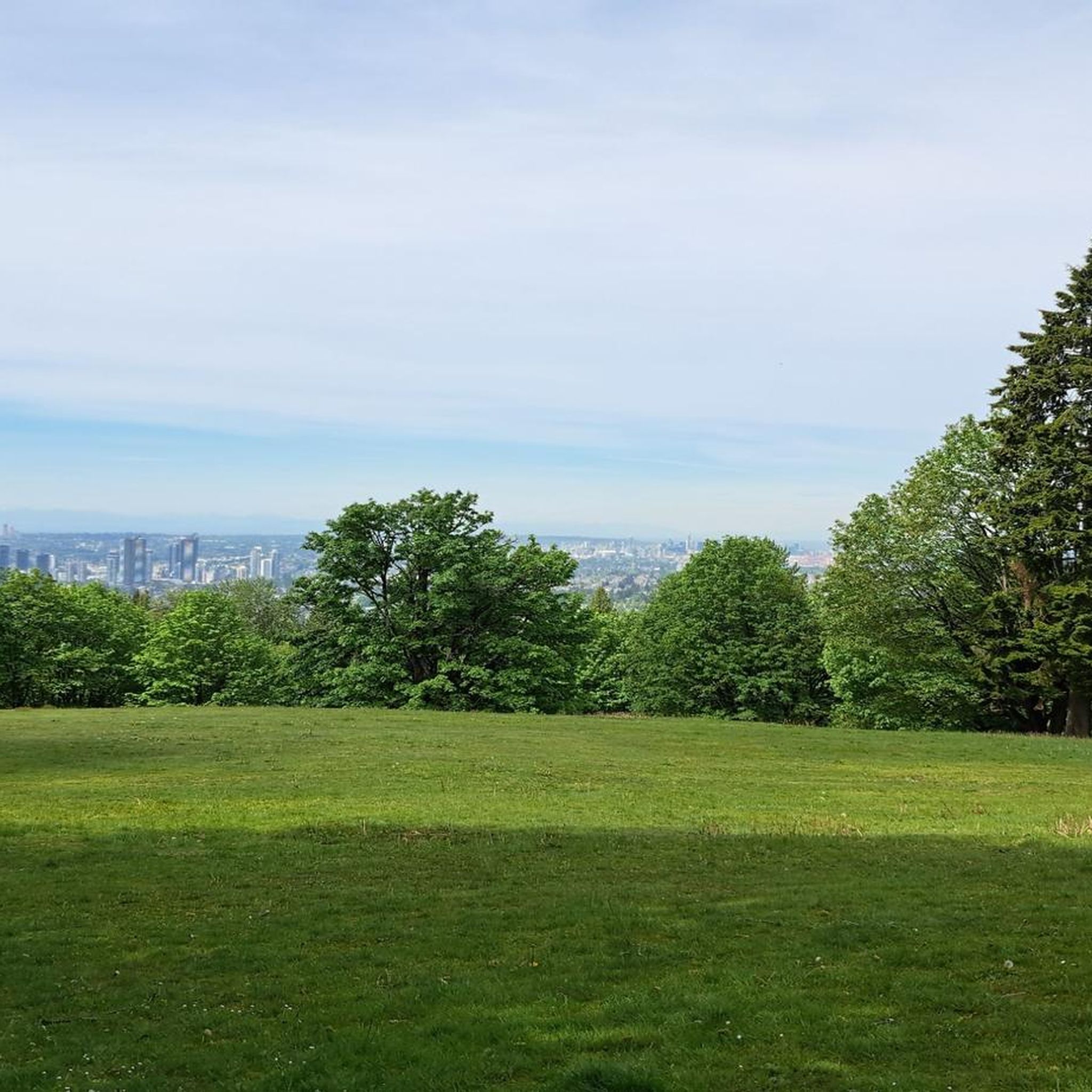
Gravel biking in Burnaby Mountain Conservation Area offers a diverse network of trails across 576 hectares, featuring varied terrain from easier paths to technical sections. The area is characterized by rich deciduous and coniferous forests, significant elevation changes, and panoramic views of the Burrard Inlet and North Shore Mountains. Its trail system includes multi-use paths suitable for gravel bikes, with some routes incorporating sections of the Trans Canada Trail. Riders can expect a mix of steady climbs, winding paths, and occasional loose gravel.
Best gravel bike trails in Burnaby Mountain Conservation Area
- The most popular gravel bike trail is Halfway Hairpin – Seymour Lake Gazebo loop from Lougheed Town Centre, a 46.5 miles (74.8 km) trail that takes 6 hours 35 minutes to complete, offering a challenging long-distance ride with significant elevation gain.
- Another top favourite among local gravel bikers is Frances–Union Bike Route – Burnaby North Viking Statue loop from Lougheed Town Centre, a difficult 36.9 miles (59.4 km) path. This route traverses extensive urban and natural sections, providing varied scenery.
- Local gravel bikers also love the Seymour Trailway – Seymour Demonstration Forest loop from Boulder Island, an 18.2 miles (29.4 km) trail leading through forested areas, often completed in about 1 hour 49 minutes.
- Gravel biking in Burnaby Mountain Conservation Area is defined by diverse trail networks, rich forests, and panoramic viewpoints. The network offers options for easy, moderate, and difficult ability levels.
- The routes in Burnaby Mountain Conservation Area are highly rated by the komoot community with an average score of 4.5 stars from over 80 reviews. More than 590 gravel bikers have used komoot to explore Burnaby Mountain Conservation Area's varied terrain.
Last updated: October 6, 2026
5.0
(10)
145
riders
74.9km
04:41
980m
980m
Hard gravel ride. Very good fitness required. You may need to push your bike for some segments of this route.
15
riders
57.7km
03:21
680m
680m
Hard gravel ride. Very good fitness required. Mostly paved surfaces. Suitable for all skill levels.

52
riders
43.8km
02:38
570m
570m
Hard gravel ride. Very good fitness required. Mostly paved surfaces. Suitable for all skill levels.
4.0
(1)
10
riders
84.7km
04:27
500m
500m
Hard gravel ride. Very good fitness required. Mostly paved surfaces. Suitable for all skill levels.
5.0
(4)
88
riders
78.1km
04:38
920m
920m
Hard gravel ride. Very good fitness required. Mostly paved surfaces. Suitable for all skill levels.
Get access to more routes and recommendations from other explorers.
Already have an account?
Our route recommendations are based on thousands of hikes, rides, and runs completed by other people on komoot.
Start today with a free account
Your next adventure awaits.
Tips from the Community

A very busy road, but still made for an interesting view.
0
0

immersion not recommended due to poor water quality in a port area
0
0

Great reclaimed rail bed to ride on, keep a lookout for the community gardens enroute…one in particular is extremely cool!
0
0

Montrose Park sits perched on the steep bluffs of the Burrard Inlet with great views. Some sights you can see are elevated views of the Ironworkers Memorial Bridge and the Second Narrows Rail Bridge, and the rail bridge will sometimes lift into the air to let large cargo ships pass underneath. This waterway is also a bus shipping lane of the inner Burrard Inlet, dotted with terminals, tugboats, and container ships that fuel Vancouver's port. The Trans Canada Trail cuts through the park as a flat gravel path. This path is open to walking or biking two kilometres east directly into Confederation Park, passing through thick second-growth forests and over small creeks.
0
0
From this point in Bates Park is an elevated viewpoint over two bridges, the newer Ironworkers Memorial Second Narrows Crossing and the older Second Narrows Rail Bridge. The viewpoint is closer to the older bridge that was built in 1925 and once carried both trains and automobiles.
0
0

So need to use a gravel bike ? Would it be too challenge with road bike?
0
0
Here, the Avison Trail crosses over Stanley Park Causeway via a sidewalk on Stanley Park Drive and gives one of the best viewpoints over Lions Gate Bridge. There is an informational sign on the sidewalk about the bridge, and the viewpoints look straight down the bridge from between the forests.
1
0

Boundary Bay Wildlife Management Area protects a vast stretch of intertidal mudflats, salt marsh, and eelgrass habitat along Boundary Bay. The area supports large numbers of migratory shorebirds and waterfowl, making it one of the most important bird habitats on Canada’s Pacific coast. Its accessible trails, consistent bird activity, and ever-changing tidal scenery make it an especially rewarding place to explore on foot or by bike.
0
0
Frequently Asked Questions
How many gravel bike trails are available in Burnaby Mountain Conservation Area?
Burnaby Mountain Conservation Area offers over 20 gravel bike trails, catering to various skill levels. You'll find a diverse network with options for easy, moderate, and difficult rides.
What kind of terrain can I expect on the gravel bike trails in Burnaby Mountain Conservation Area?
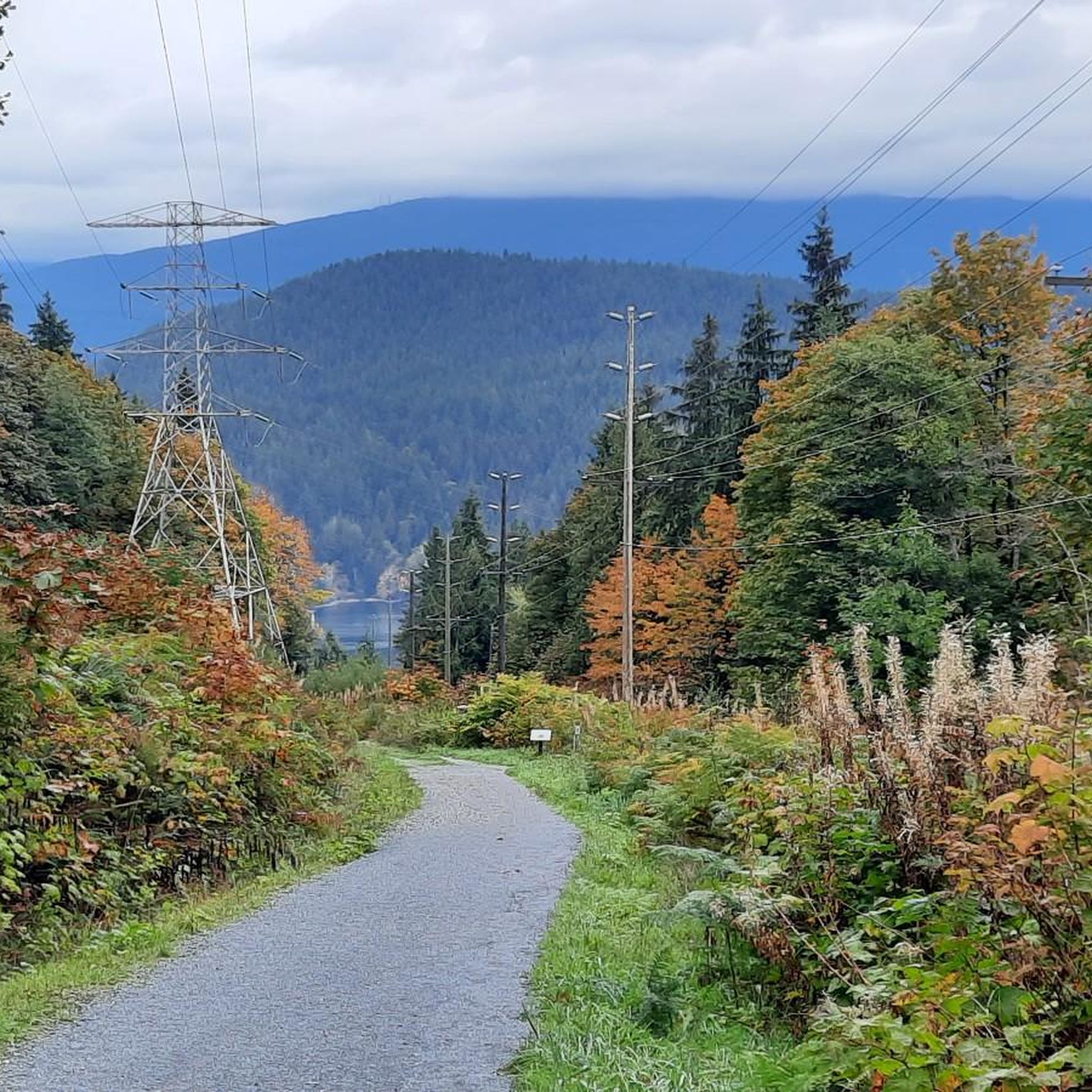
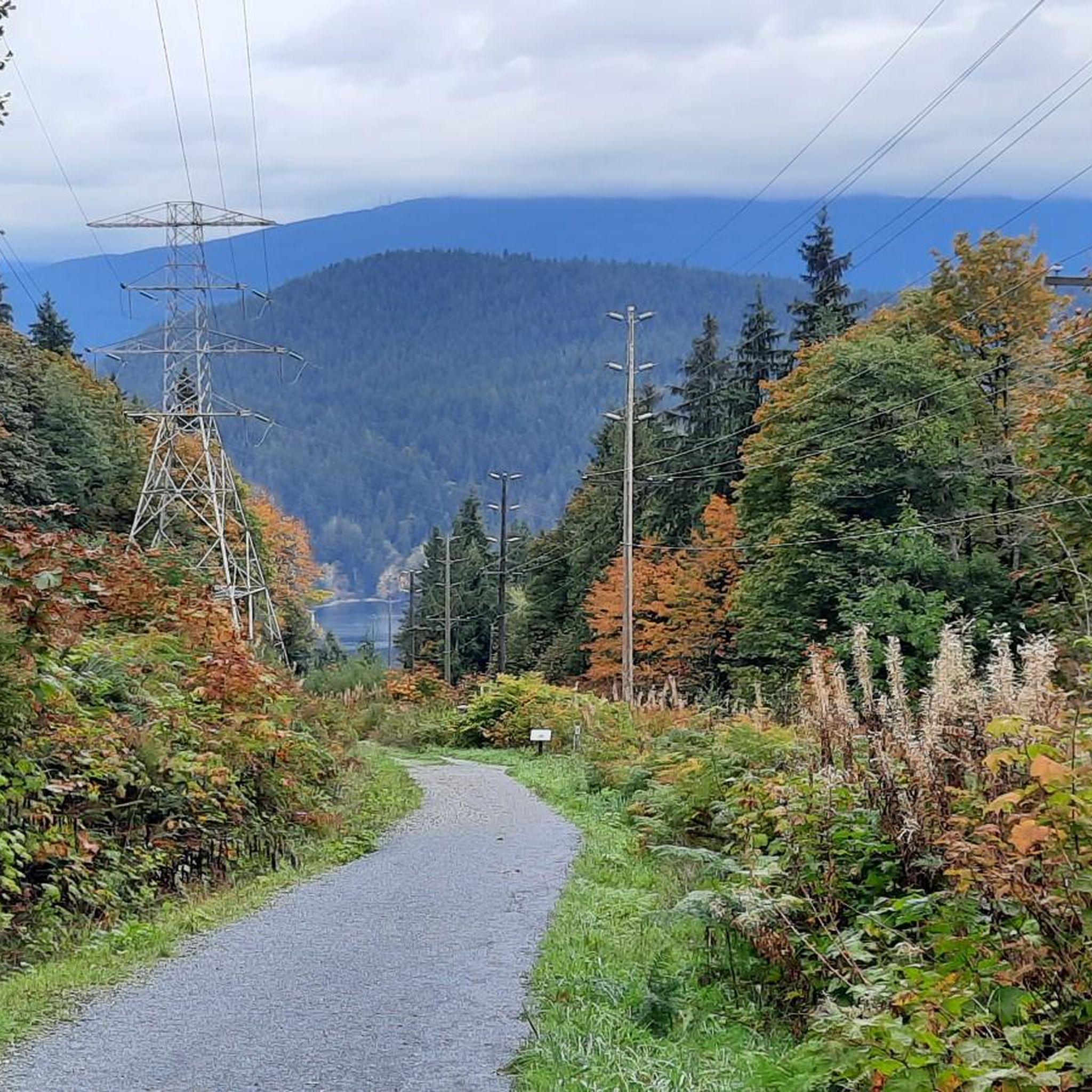
The trails feature diverse terrain, from easier paths to more technical sections with significant elevation gains. You'll encounter rich deciduous and coniferous forests, steady climbs, winding paths, and occasional loose gravel. Some routes incorporate sections of the Trans Canada Trail, offering relatively flat terrain, while others like the 'Gaglardi' trail are known for wide gravel climbs.
Are there any family-friendly gravel bike routes in the area?
While many routes involve significant elevation, some sections of the Trans Canada Trail offer relatively flat terrain, which can be more suitable for families or beginners. The area also has playgrounds and picnic areas near the Kamui Mintara sculptures, making it a good destination for a family outing combined with a ride.
What are some notable landmarks or viewpoints I can see along the gravel bike trails?
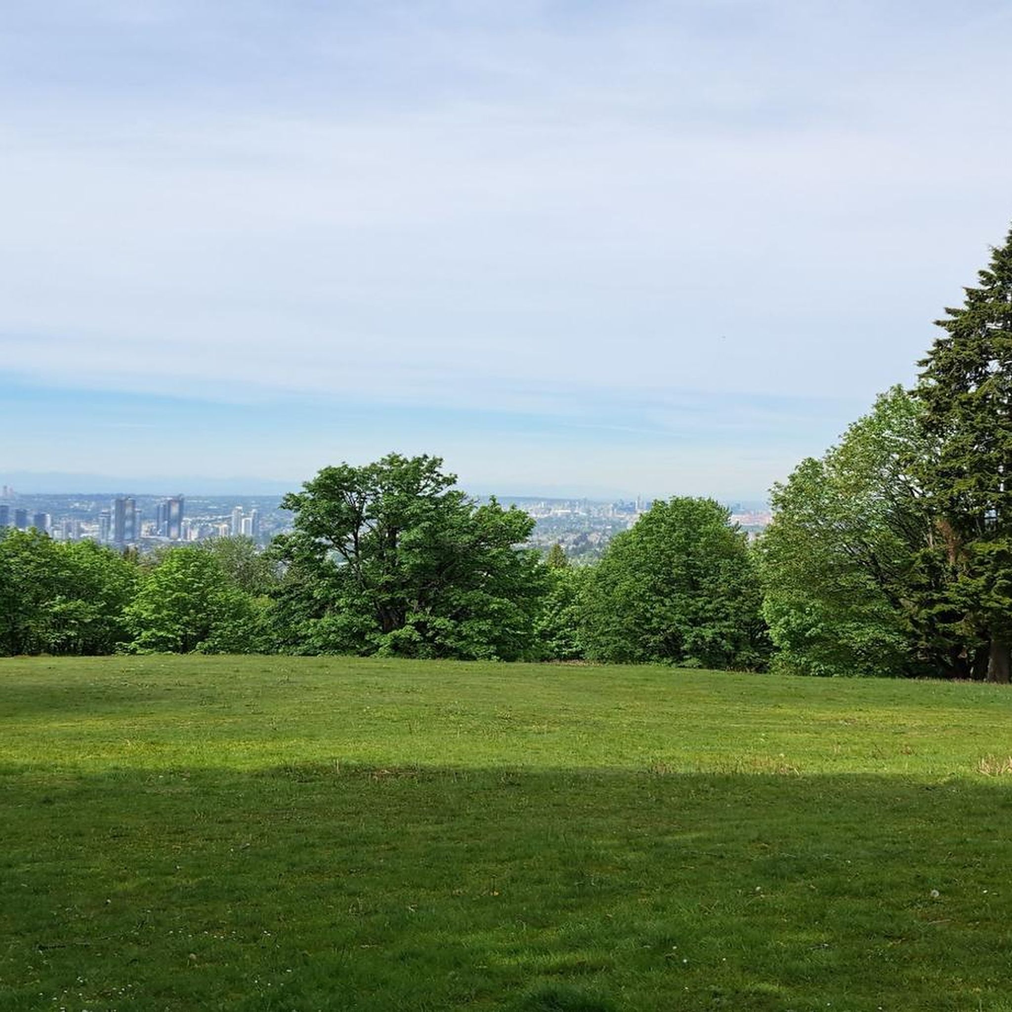
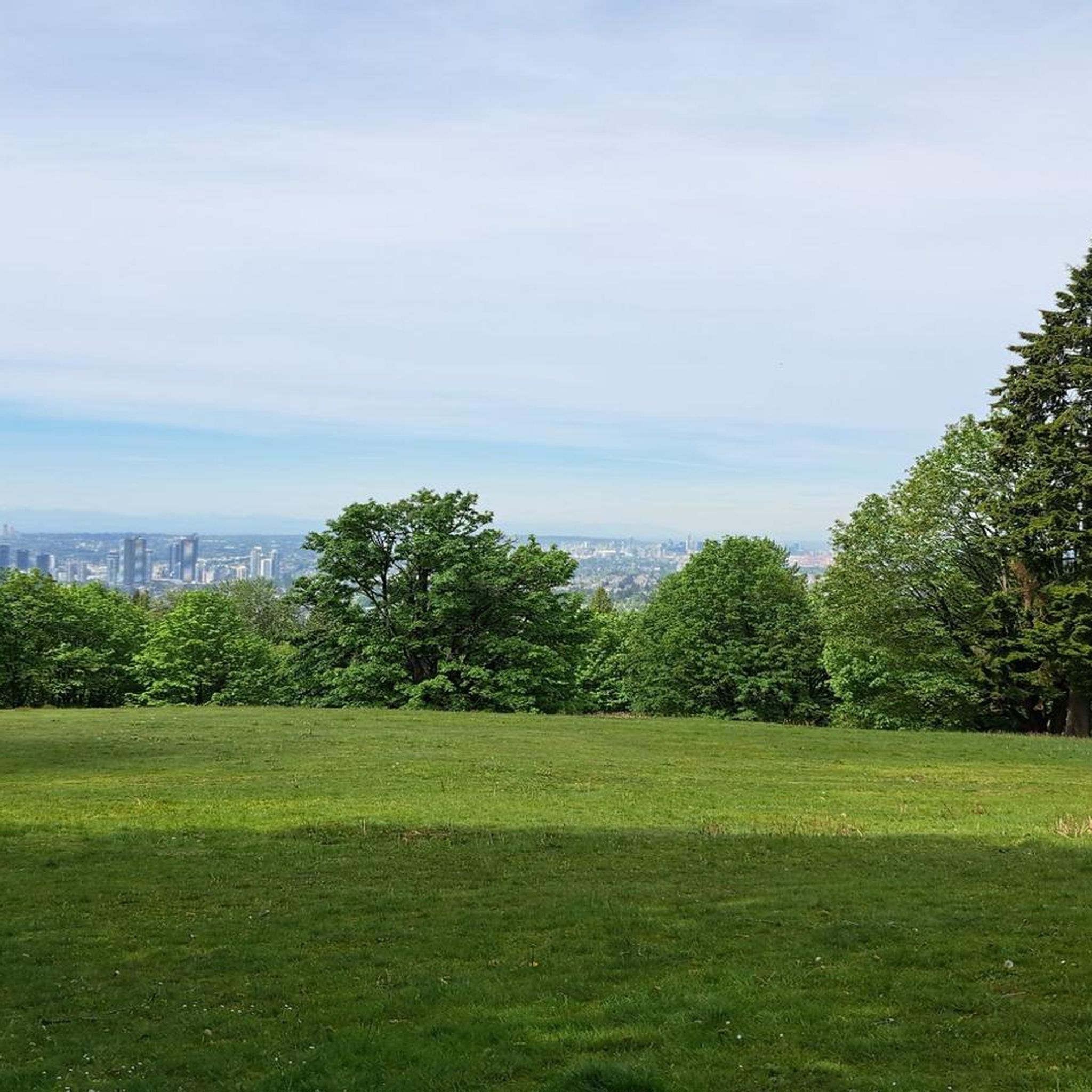
Burnaby Mountain is renowned for its panoramic views. From various vantage points, you can enjoy expansive vistas of the Burrard Inlet, the North Shore Mountains, and the Vancouver skyline. Specific highlights include the Kamui Mintara (Playground of the Gods) Sculptures, the View of Indian Arm and Burrard Inlet, and the View of Vancouver from Burnaby Mountain Conservation Area. You might also spot the colorful Burnaby Mountain Water Tower Murals.
Can I bring my dog on the gravel bike trails?
Burnaby Mountain Conservation Area is generally dog-friendly, with many multi-use trails allowing leashed dogs. However, it's always best to check specific trail regulations before heading out, as some sensitive ecological areas or designated parks might have restrictions. Ensure your dog is well-behaved and on a leash for the safety of wildlife and other trail users.
What is the best time of year to go gravel biking in Burnaby Mountain Conservation Area?
The area's climate, part of the Coastal Western Hemlock Biogeoclimatic Zone, features abundant rainfall and mild temperatures. While gravel biking is possible year-round, spring and fall offer pleasant temperatures and vibrant scenery. Summer provides longer daylight hours, and even mild winter days can be enjoyable, though some trails might be wetter or have occasional icy patches.
Are there any loop trails for gravel biking in Burnaby Mountain Conservation Area?
Yes, many of the gravel bike routes in the area are designed as loops, allowing you to start and end at the same point. For example, the Frances–Union Bike Route – Burnaby North Viking Statue loop from Lougheed Town Centre is a popular option that traverses extensive urban and natural sections.
Where can I park when visiting Burnaby Mountain Conservation Area for gravel biking?
There are parking facilities available within Burnaby Mountain Conservation Area, particularly near popular attractions like the Kamui Mintara sculptures and the Centennial Rose Garden. These areas provide convenient access to the trail network. It's advisable to arrive early on busy days, especially weekends, to secure a spot.
Are there any cafes or amenities near the gravel bike trails?
Yes, the Mintara Restaurant is situated on Burnaby Mountain itself, offering a place to eat with fine views. Additionally, there are picnic areas available. For more extensive amenities, the nearby Lougheed Town Centre provides various cafes, restaurants, and shops.
What do other gravel bikers enjoy most about Burnaby Mountain Conservation Area?
The area is highly rated by the komoot community, with an average score of 4.4 stars from over 90 reviews. Reviewers often praise the diverse trail network, the stunning panoramic views of the Burrard Inlet and Vancouver skyline, and the challenging yet rewarding climbs. The blend of natural beauty and varied terrain makes it a favorite among local riders.
Are there any easy or beginner-friendly gravel bike routes?
While Burnaby Mountain offers many challenging routes with significant elevation, some sections are more accessible for beginners. Look for paths that incorporate parts of the Trans Canada Trail, which generally offers flatter terrain with fewer technical features. These can be a great introduction to gravel biking in the area.
How long are the typical gravel bike trails in Burnaby Mountain Conservation Area?
The length of gravel bike trails varies significantly. You can find shorter loops for quick rides, but many popular routes are longer, offering substantial distances. For instance, the Central Valley Greenway – Pitt River Bridge loop from Production Way–University is about 38 miles (61 km) long, while the Seymour Demonstration Forest – Seymour Trailway loop from Holdom covers around 28 miles (45 km).
Most popular routes in Burnaby Mountain Conservation Area
Most popular attractions in Burnaby Mountain Conservation Area

Get inspired with the komoot mobile app


Explore more
Browse the best Gravel rides in other regions.
