The best road cycling routes in Burnaby Mountain Conservation Area
4.4
(134)
5,140
riders
82
rides
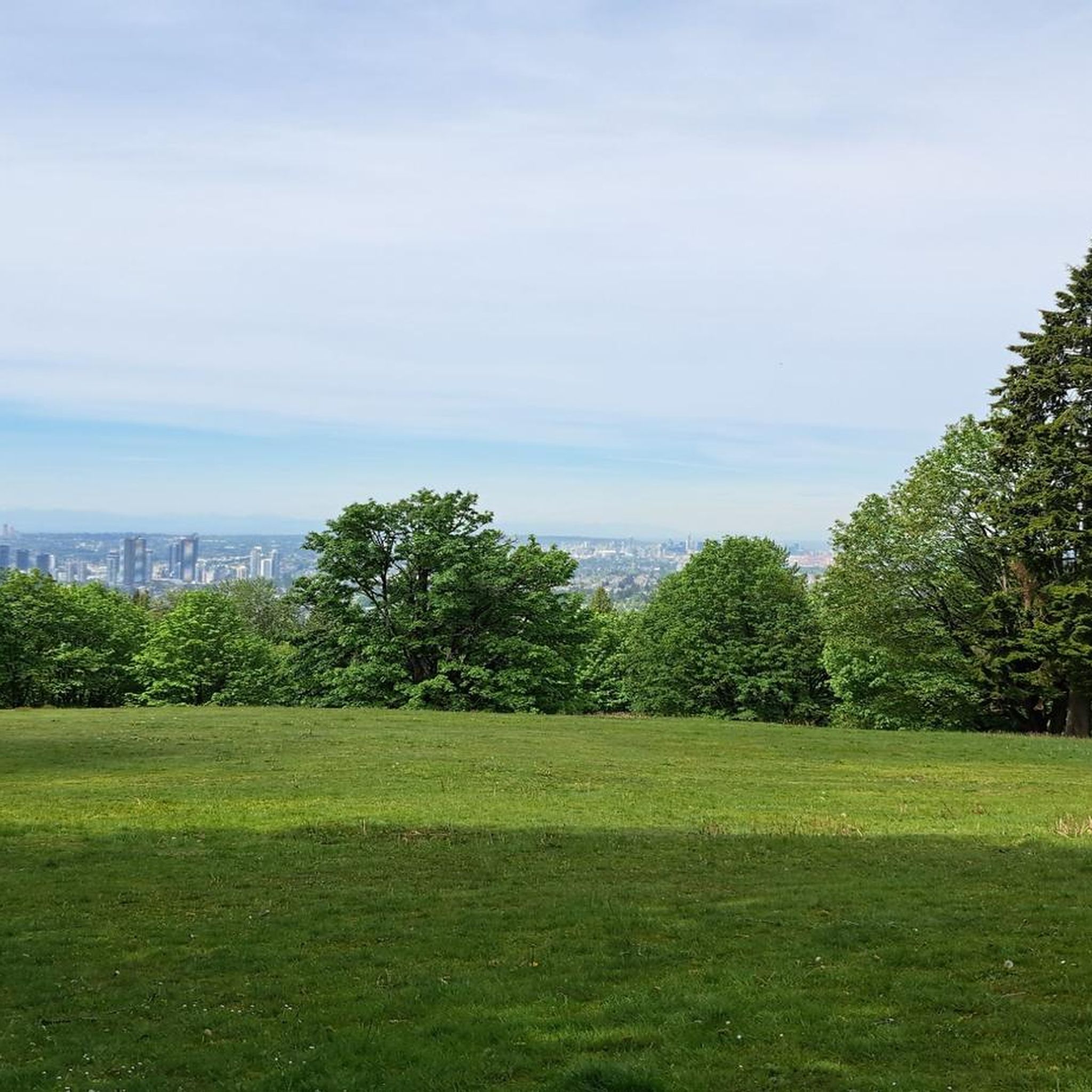
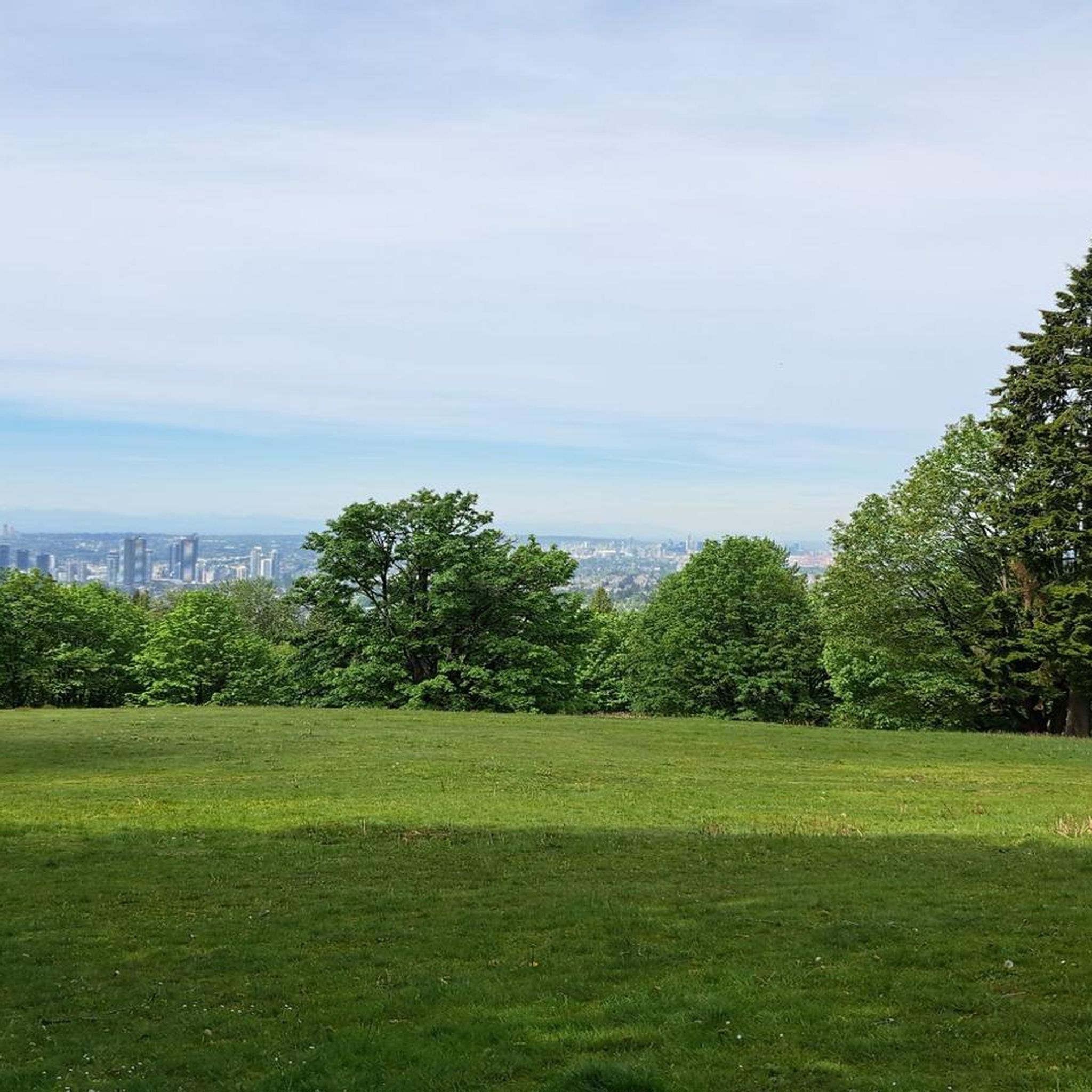
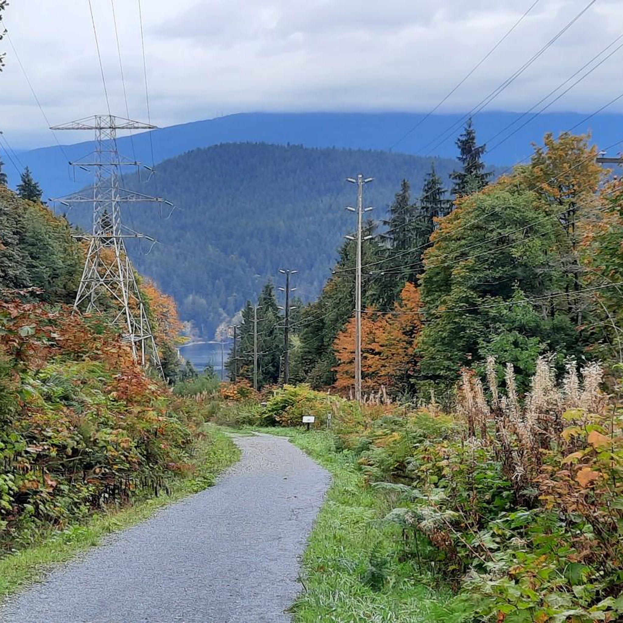
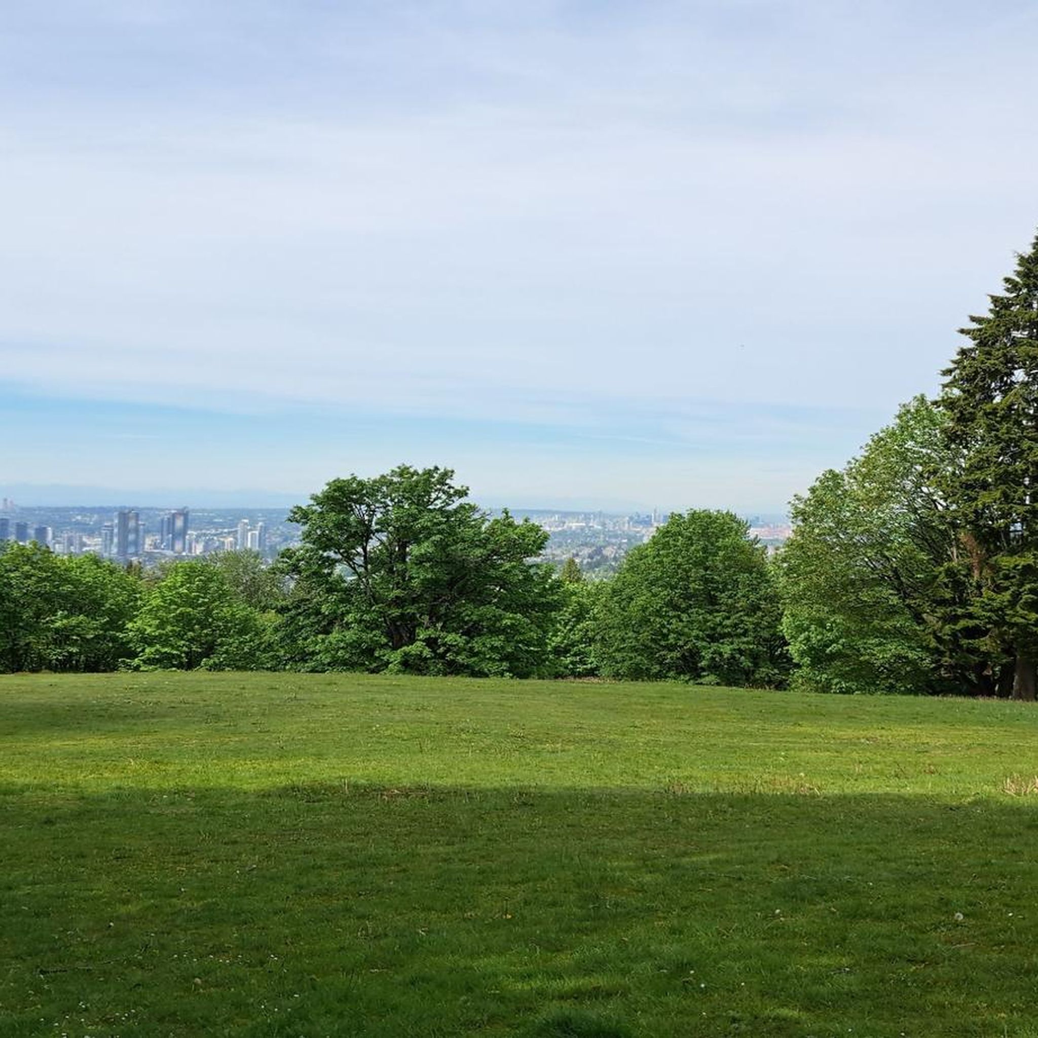
Road cycling routes in Burnaby Mountain Conservation Area offer challenging terrain and rewarding scenery. The area features a prominent mountain reaching 370 meters (1214 feet) with consistent gradients, making it suitable for hill training. The landscape is characterized by lush west coast forest, numerous streams, and panoramic views of the Strait of Georgia, Burrard Inlet, and the North Shore Mountains. These physical features provide varied road cycling experiences, from sustained climbs to scenic descents.
Best road cycling routes in Burnaby…
Last updated: October 10, 2026
4.3
(10)
311
riders
Moderate road ride. Good fitness required. Mostly well-paved surfaces and easy to ride.
22
riders
48.4km
02:30
710m
710m
Moderate road ride. Good fitness required. Mostly well-paved surfaces and easy to ride.

5.0
(1)
10
riders
26.7km
01:36
330m
330m
Moderate road ride. Good fitness required. Some segments of this route may be unpaved and difficult to ride.
5
riders
91.5km
04:34
1,250m
1,250m
Hard road ride. Very good fitness required. Some segments of this route may be unpaved and difficult to ride.
4.0
(4)
195
riders
Hard road ride. Very good fitness required. Some segments of this route may be unpaved and difficult to ride.
Get access to more routes and recommendations from other explorers.
Already have an account?
Our route recommendations are based on thousands of hikes, rides, and runs completed by other people on komoot.
Start today with a free account
Your next adventure awaits.

Tips from the Community

The first picture with the lighthouse is not Ambleside Park.
1
0

Montrose Park sits perched on the steep bluffs of the Burrard Inlet with great views. Some sights you can see are elevated views of the Ironworkers Memorial Bridge and the Second Narrows Rail Bridge, and the rail bridge will sometimes lift into the air to let large cargo ships pass underneath. This waterway is also a bus shipping lane of the inner Burrard Inlet, dotted with terminals, tugboats, and container ships that fuel Vancouver's port. The Trans Canada Trail cuts through the park as a flat gravel path. This path is open to walking or biking two kilometres east directly into Confederation Park, passing through thick second-growth forests and over small creeks.
0
0

Also known as the Harry Jerome Sports Centre, you can play volleyball here and the indoor cycling track has an incredible banked wooden oval. If it's open, the velodrome is well worth a step inside to see the cycling track if nothing else.
0
0
The Spirit Trail follows the coast of North Van, passing by the pond and sports courts here in Ambleside Park. The trail is divided into two lanes, one for hiking and slower cyclists and one for commuting cyclists.
0
0

təmtəmíxʷtən/Belcarra Regional Park sits covers 1,100 hectares (2,700 acres) and offers a mix of beaches, shaded trails, and calm lake swimming. You can explore cool, mossy glades beneath towering trees, wander shoreline paths, or head inland to Sasamat Lake, known for its warm summer water and family‑friendly beaches. The parks name, given by the Tsleil‑Waututh Nation, means “the biggest place for all the people,” and the land still holds a high place in their history and culture.
0
0
Ambleside Park is a stunning waterfront public space on the shores of Howe Sound across the water from downtown Vancouver. This path is open for walking, jogging, or biking along the park's wide seaside boardwalk, which connects to the Centennial Seawalk. Looking south, freighters and sailboats dot the waters under the Vancouver skyline. The beach is a mix of sand and pebbles, popular for sunbathing, beachcombing, and swimming. Even dogs can enjoy the park in the designated off-leash zone. The park also has golfing, baseball, and pickleball fields, plenty of activities for everyone.
1
0

Confederation Park is North Burnaby's first park and has a little something for everybody. It offers hiking trails, softball, lawn bowling, a skate park, a playground, tennis courts, and much more.
0
0
On the east side of the bridge’s northern end, near the base of the bridge is a memorial to honor 27 workers who lost their lives on June 17, 1958, when a section of the original Second Narrows Bridge collapsed during construction.
0
0
Frequently Asked Questions
How many road cycling routes are available in Burnaby Mountain Conservation Area?
There are over 100 road cycling routes in Burnaby Mountain Conservation Area, offering a diverse range of experiences. These include routes for various skill levels, from moderate to difficult, with options for sustained climbs and scenic descents.
What kind of terrain and difficulty can I expect on road cycling routes here?
Road cycling in Burnaby Mountain Conservation Area is known for its challenging terrain, featuring consistent gradients and significant elevation gains. Routes like the ascent via Gaglardi Way offer a 4.29 km climb with 261 meters of elevation gain and an average grade of 6.1%. While some sections require good fitness, there are also well-paved paths suitable for different fitness levels, with some routes offering up to 3,000 feet of elevation gain. The area has 72 moderate and 7 difficult routes, ensuring options for various abilities.
Are there any family-friendly paved road cycling trails in Burnaby Mountain Conservation Area?
While Burnaby Mountain is known for its challenging climbs, there are well-paved sections and routes that can be enjoyed by families, particularly those with some cycling experience. The area features 28 easy routes, which might include flatter sections or less strenuous climbs suitable for a family outing. Always check the specific route details for elevation and distance to ensure it matches your family's comfort level.
What are the best times of year for road cycling in Burnaby Mountain Conservation Area?
The best time for road cycling in Burnaby Mountain Conservation Area is generally during the warmer, drier months. While the region experiences mild winters, clear days offer the most rewarding experience with panoramic views. Spring and fall provide pleasant temperatures, though rain can be a factor. Always check local weather conditions before heading out, especially for potential fog or rain that might obscure views.
What viewpoints or attractions can I see along the road cycling routes?
Road cycling routes in Burnaby Mountain Conservation Area offer spectacular views and interesting attractions. You can enjoy westerly views of Burnaby, Vancouver, and the Strait of Georgia, as well as northern views of Burrard Inlet, Indian Arm, and the North Shore Mountains. Notable attractions include the Kamui Mintara (Playground of the Gods) Sculpture, the View of Indian Arm and Burrard Inlet, and the View of Vancouver from Burnaby Mountain Conservation Area. The Centennial Rose Garden at the summit is also a beautiful spot to visit.
Are there any circular road cycling routes in the area?
Yes, Burnaby Mountain Conservation Area offers several excellent circular road cycling routes. A popular option is the Seymour Demonstration Forest loop from Burquitlam, a 48.4 km trail with significant elevation gain. Another favorite is the Prospect Point Viewpoint – Lions Gate Bridge loop from Burquitlam, a moderate 70.9 km path offering extensive views and passing notable landmarks.
Where can I park my car when road cycling in Burnaby Mountain Conservation Area?
Parking is available at various access points around Burnaby Mountain Conservation Area, including at the summit near Burnaby Mountain Park and Simon Fraser University. These locations provide convenient access to the road cycling routes. It's advisable to check specific parking regulations and availability, especially during peak times.
How accessible is Burnaby Mountain Conservation Area by public transport for cyclists?
Burnaby Mountain Conservation Area is well-served by public transport, particularly due to the presence of Simon Fraser University at its summit. TransLink bus routes connect the university and surrounding areas, making it accessible for cyclists who wish to combine public transport with their ride. You can plan your journey to reach trailheads or starting points like Burquitlam or Lougheed Town Centre.
What do other road cyclists enjoy most about road cycling in Burnaby Mountain Conservation Area?
The area is highly rated by the komoot community, with an average score of 4.5 stars from over 130 reviews. Road cyclists often praise the challenging ascents, the rewarding panoramic viewpoints, and the lush west coast forest scenery. The diverse network of routes, catering to various ability levels, is also a frequently highlighted positive aspect.
Are there any cafes or amenities near the road cycling routes?
Yes, with Simon Fraser University located at the summit of Burnaby Mountain, there are cafes and other amenities available on campus. Additionally, the surrounding areas, including Lougheed Town Centre and Burquitlam, offer various cafes, restaurants, and shops where cyclists can refuel and relax before or after their rides.
Are there any specific permits required for road cycling in Burnaby Mountain Conservation Area?
Generally, no specific permits are required for road cycling on the public roads and designated paved paths within Burnaby Mountain Conservation Area. However, it's always a good idea to check for any local regulations or temporary restrictions, especially if you plan to venture into specific park areas or trails that might have different rules.
What is a good moderate-difficulty road cycling route in the area?
For a moderate challenge, consider the Seymour Lake Gazebo – Seymour Demonstration Forest loop from Lougheed Town Centre. This 68.2 km trail leads through diverse forest landscapes, features an elevation gain of over 800 meters, and can typically be completed in about 3 hours 21 minutes, offering a rewarding experience for intermediate cyclists.
Most popular routes in Burnaby Mountain Conservation Area
Most popular attractions in Burnaby Mountain Conservation Area

Get inspired with the komoot mobile app


Explore more
Browse the best Road cycling routes in other regions.
