The best gravel rides in Ubc Malcolm Knapp Research Forest
4.5
(49)
223
riders
5
rides
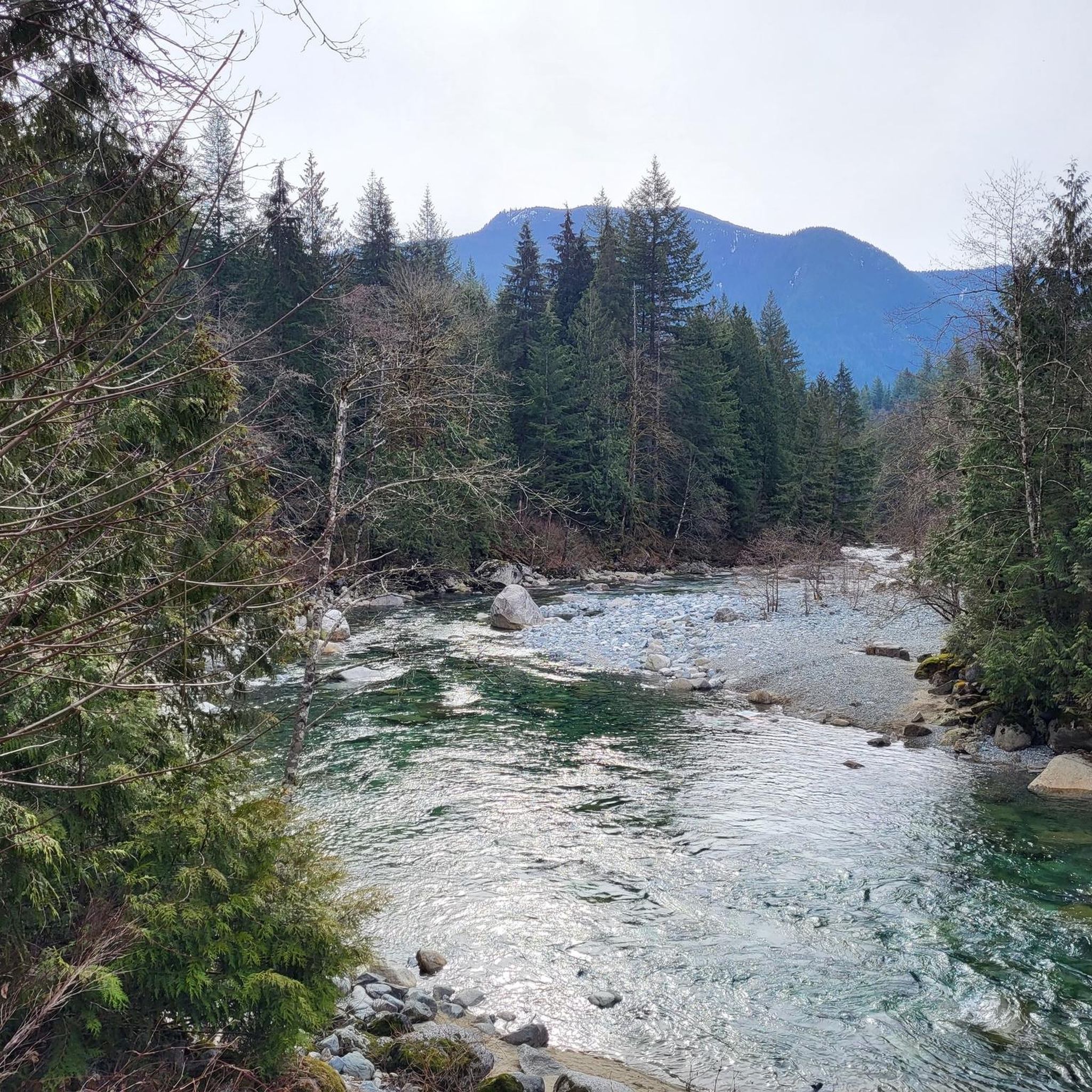
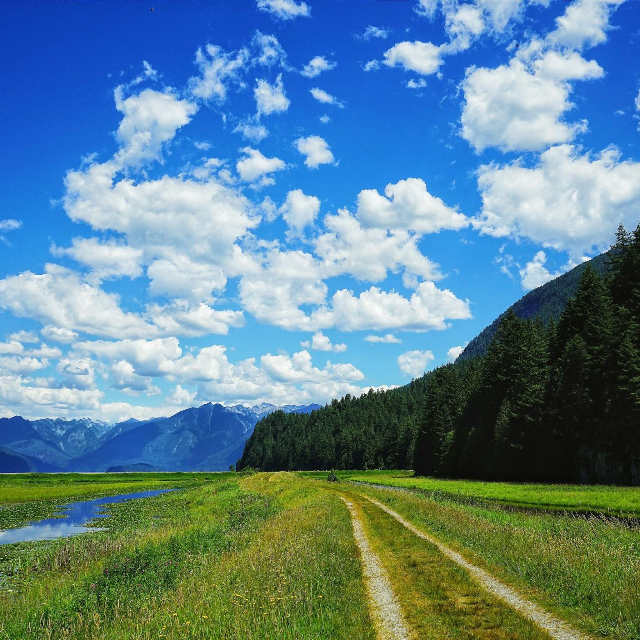
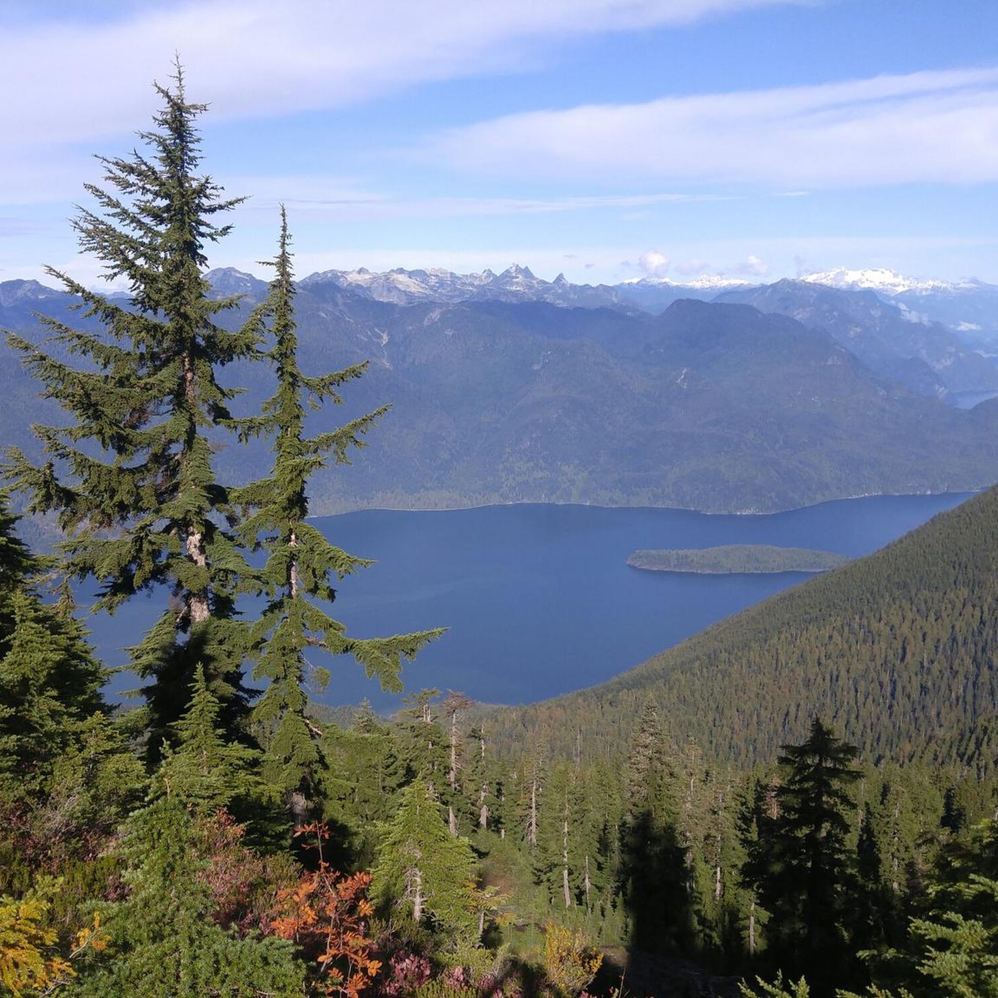
Gravel biking in Ubc Malcolm Knapp Research Forest offers a network of trails through varied terrain. The region is characterized by its proximity to the Alouette and Pitt Rivers, featuring dike trails and forested sections. Riders can expect routes that combine riverside paths with views of distant mountains, providing a mix of flat and gently undulating surfaces. The landscape primarily consists of woodlands and open areas along the river systems.
Best gravel bike trails in Ubc Malcolm Knapp Research Forest
- The most popular gravel bike trail is North Alouette River – Alouette River loop from Maple Ridge, a difficult 17.8 miles (28.7 km) trail that takes 1 hour 25 minutes to complete. This route follows the Alouette River, offering scenic views along its banks.
- Another top favourite among local gravel bikers is Pitt River Dike Trail – Pitt River Bridge loop from Port Haney, a moderate 34.4 miles (55.4 km) path. This trail features extensive sections along the Pitt River dike, providing open views of the water and surrounding landscape.
- Local gravel bikers also love the Pitt River Bridge – View of Mount Baker loop from Maple Meadows, a 29.4 miles (47.3 km) trail leading through riverine landscapes and offering distant views of Mount Baker, often completed in about 3 hours 56 minutes.
- Gravel biking in Ubc Malcolm Knapp Research Forest is defined by river dike trails, forested sections, and views of distant mountains. The network offers options for both moderate and difficult ability levels.
- The routes in Ubc Malcolm Knapp Research Forest are highly rated by the komoot community with an average score of 4.6 stars from over 40 reviews. More than 200 gravel bikers have used komoot to explore Ubc Malcolm Knapp Research Forest's varied terrain.
Last updated: October 6, 2026
5.0
(4)
26
riders
28.9km
01:25
60m
60m
Hard gravel ride. Great for any fitness level. You may need to push your bike for some segments of this route.
4.3
(6)
30
riders
31.0km
01:30
60m
60m
Easy gravel ride. Great for any fitness level. Mostly paved surfaces. Suitable for all skill levels.

14
riders
43.8km
02:07
70m
70m
Moderate gravel ride. Good fitness required. Mostly paved surfaces. Suitable for all skill levels.
14
riders
43.7km
02:10
90m
90m
Moderate gravel ride. Good fitness required. Mostly paved surfaces. Suitable for all skill levels.
15
riders
47.9km
02:23
150m
140m
Moderate gravel ride. Good fitness required. Mostly paved surfaces. Suitable for all skill levels.
Our route recommendations are based on thousands of hikes, rides, and runs completed by other people on komoot.
Start today with a free account
Your next adventure awaits.
Tips from the Community

The Alouette River was formerly known as the Lillooet River, but the name was changed since there is a larger, more well known river that had the same name. The name Alouette was chosen for the simple reason that it sounds similar to Lillooet, but French speakers will recognize that it means lark.
0
0

Pitt River Regional Greenway is a multi-use trail that follows the east bank of the Pitt and Fraser rivers through Pitt Meadows. The route runs along dikes and through riparian areas, with wide views of the river, surrounding farmland, and nearby mountains. Its flat, open alignment and proximity to the water give it a calm, spacious feel, with plenty of opportunities to see birds and other wildlife.
0
0
Pitt Meadows Regional Airport sits right along the Pitt River Regional Greenway and the Fraser River, serving general aviation, flight training, and small aircraft operations in the Lower Mainland. The low-lying airfield is surrounded by farmland and dike trails, making aircraft activity a constant backdrop for nearby walks and rides. As you pass by, you'll likely see planes taking off and landing at close range against the open valley setting.
0
0
The Pitt River Regional Greenway follows the Fraser and Pitt Rivers and is a flat, easy route that is part of a wider network of cycling and walking paths through Pitt Meadows. The trail runs through open farmland, with long, uninterrupted views of the river and the surrounding mountains. With minimal tree cover and expansive scenery, it feels exposed and spacious, shaped more by the river and sky than by forest. There are plenty of access points and parking at both ends, making it perfect for a short or extended hike along the riverfront.
0
0

The Pitt River Bridge is a cable-stayed bridge that spans the Pitt River between Port Coquitlam and Pitt Meadows in British Columbia, Canada.
0
0

A tiny bit of gravel, but provides a pretty, rural connection to the airport on quiet country roads. Option to continue on asphalt or pleasant dyke gravel from there.
0
0

With a telephoto lens you can get a beautiful picture of Mount Baker
0
0
Frequently Asked Questions
What are the difficulty levels of gravel bike trails in UBC Malcolm Knapp Research Forest?
The gravel biking trails in UBC Malcolm Knapp Research Forest offer a mix of moderate and difficult options. You'll find 4 moderate routes and 1 difficult route. For example, the North Alouette River – Alouette River loop from Maple Ridge is considered difficult, while the Pitt River Dike Trail – Pitt River Bridge loop from Port Haney is a moderate option.
What is the typical length of gravel bike trails in Malcolm Knapp Research Forest?
The gravel trails in the Research Forest vary in length, generally ranging from around 17.8 miles (28.7 km) to 34.4 miles (55.4 km). This provides options for both shorter rides and longer excursions along the river dikes and through forested areas.
Are there family-friendly gravel biking options in UBC Malcolm Knapp Research Forest?
While there are no routes specifically designated as 'easy' in the data, the moderate trails, particularly those along the relatively flat dike sections, can be suitable for families with some biking experience. These routes often feature open views and less challenging terrain.
Are there gravel bike trails suitable for beginners in UBC Malcolm Knapp Research Forest?
Beginners with a reasonable fitness level might find the moderate routes suitable, especially those that follow the river dikes. These paths generally have gentler gradients and offer a good introduction to gravel biking in the area. Always check the route details for elevation gain before heading out.
What is the best season for gravel biking in UBC Malcolm Knapp Research Forest?
Gravel biking in the UBC Malcolm Knapp Research Forest is generally enjoyable from spring through fall. The drier months offer the best trail conditions, especially on the dike trails. While winter riding is possible, be prepared for potentially wet and muddy conditions, particularly in forested sections, and shorter daylight hours.
Are there loop gravel bike trails in UBC Malcolm Knapp Research Forest?
Yes, all the featured gravel bike routes in the Research Forest are loops. This allows you to start and end at the same point, making logistics easier. Examples include the Pitt River Bridge – View of Mount Baker loop from Maple Meadows and the Pitt River Dike Trail – Pitt River Bridge loop from Maple Meadows.
What kind of terrain can I expect on gravel bike trails in UBC Malcolm Knapp Research Forest?
You can expect varied terrain, primarily consisting of river dike trails, forested sections, and open areas along the Alouette and Pitt River systems. The routes combine flat stretches with gently undulating surfaces, offering a mix of riverside views and woodland immersion.
Are there any viewpoints along the gravel bike trails in Malcolm Knapp Research Forest?
Many routes offer scenic views, particularly along the Pitt River dike trails where you can enjoy open vistas of the water and surrounding landscape. Some trails, like the Pitt River Bridge – View of Mount Baker loop from Maple Meadows, even provide distant views of Mount Baker on clear days.
What do other gravel bikers enjoy the most about gravel biking in UBC Malcolm Knapp Research Forest?
The area is highly rated by the komoot community, with an average score of 4.6 stars from over 40 reviews. Reviewers often praise the varied terrain, the scenic river views, and the well-maintained dike trails that offer a great gravel biking experience.
How many gravel bike trails are available in UBC Malcolm Knapp Research Forest?
There are 5 curated gravel bike routes available in the UBC Malcolm Knapp Research Forest, offering a range of experiences through its unique riverine and forested landscapes.
What are the main features of the gravel biking routes in this region?
The gravel biking routes in UBC Malcolm Knapp Research Forest are defined by their combination of river dike trails, which offer open views, and forested sections that provide shade and a different riding experience. You'll also encounter views of distant mountains, adding to the scenic appeal.
Most popular routes in Ubc Malcolm Knapp Research Forest

Get inspired with the komoot mobile app


Explore more
Browse the best Gravel rides in other regions.
