The best cycling routes in Ubc Malcolm Knapp Research Forest
4.3
(131)
542
riders
13
rides
Touring cycling routes in Ubc Malcolm Knapp Research Forest traverse a diverse landscape characterized by river valleys and varied elevation changes. The region, part of British Columbia's lower coastal area, features a mix of natural ecosystems, including areas with mature forests and waterways like the Alouette River. These routes offer opportunities to explore the natural beauty of the area, with paths often following river dikes and connecting local communities. The terrain ranges from near sea level to higher elevations, providing…
Last updated: October 8, 2026
5.0
(1)
21
riders
Easy bike ride. Great for any fitness level. Mostly paved surfaces. Suitable for all skill levels.
7
riders
15.4km
01:20
30m
30m
Hard bike ride. Great for any fitness level. You may need to push your bike for some segments of this route.

5.0
(2)
19
riders
27.7km
01:51
60m
60m
Easy bike ride. Great for any fitness level. Mostly paved surfaces. Suitable for all skill levels.
16
riders
17.3km
01:08
20m
20m
Easy bike ride. Great for any fitness level. Mostly paved surfaces. Suitable for all skill levels.
2.0
(1)
11
riders
28.5km
02:03
100m
100m
Moderate bike ride. Good fitness required. Mostly paved surfaces. Suitable for all skill levels.
Get access to more routes and recommendations from other explorers.
Already have an account?
Our route recommendations are based on thousands of hikes, rides, and runs completed by other people on komoot.
Start today with a free account
Your next adventure awaits.
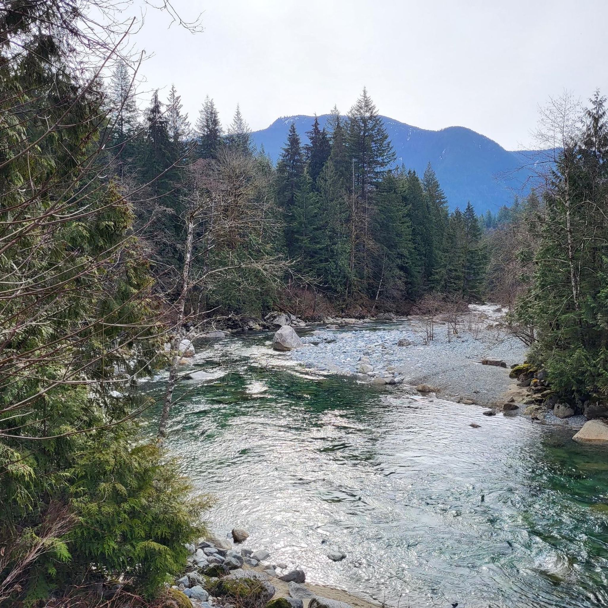
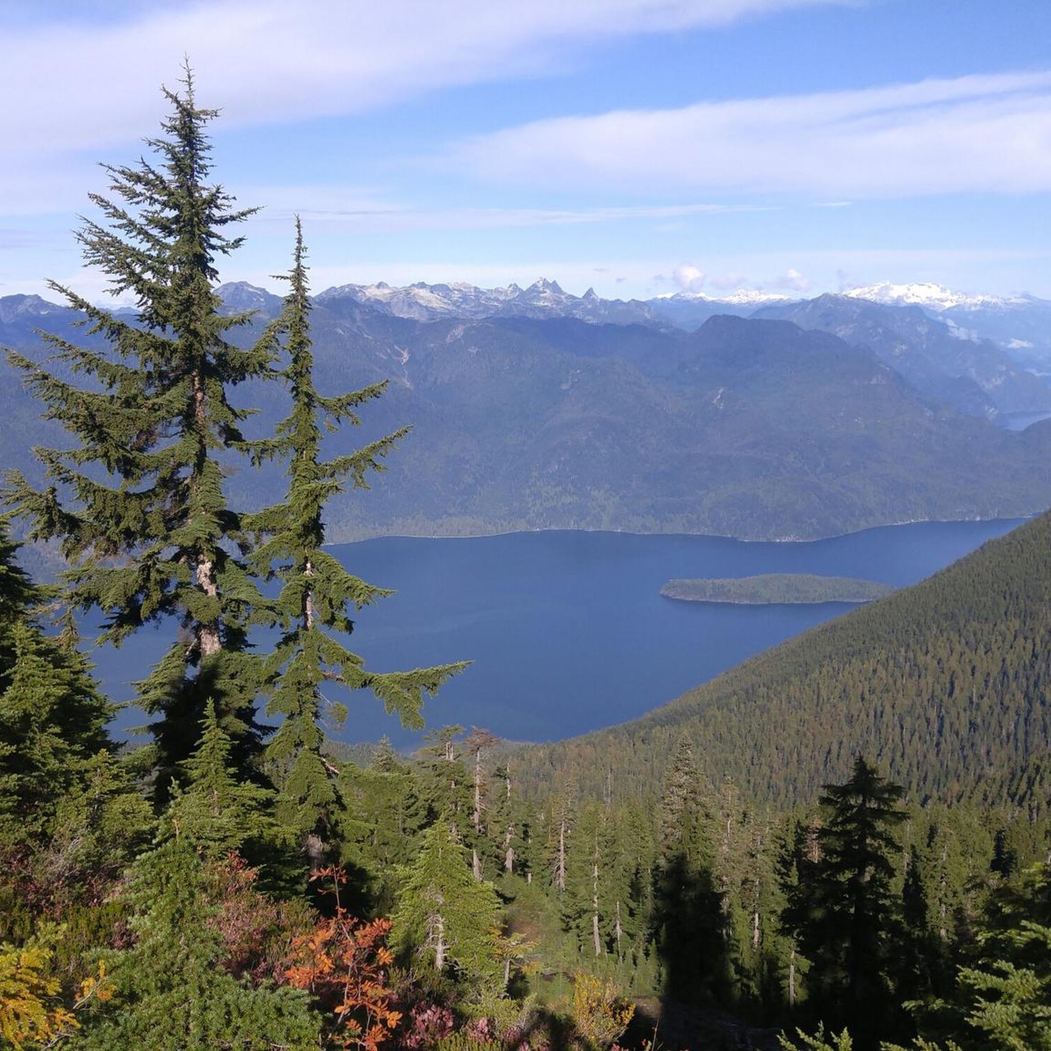
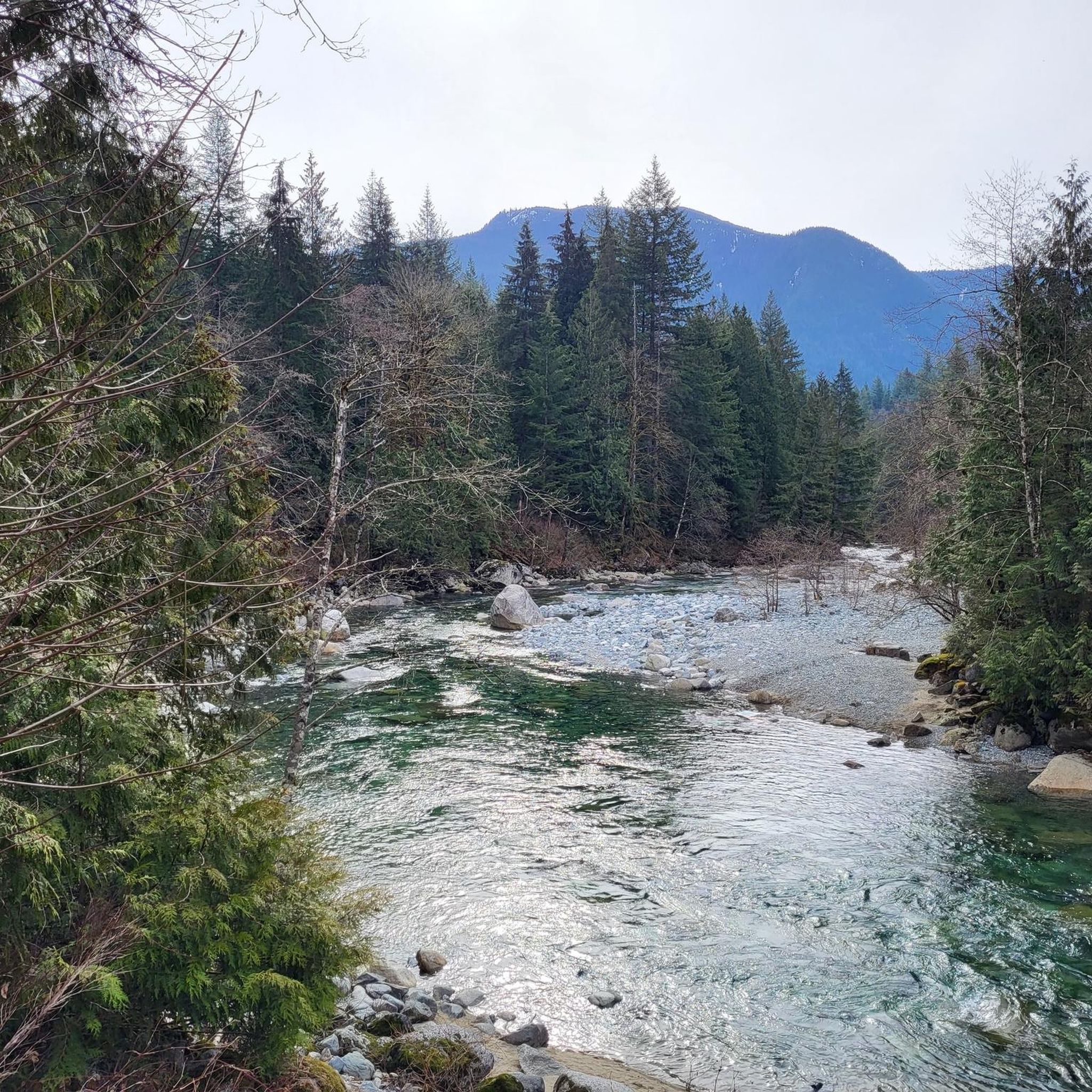
Tips from the Community

The Alouette River was formerly known as the Lillooet River, but the name was changed since there is a larger, more well known river that had the same name. The name Alouette was chosen for the simple reason that it sounds similar to Lillooet, but French speakers will recognize that it means lark.
0
0
Frequently Asked Questions
How many touring cycling routes are available in the Ubc Malcolm Knapp Research Forest area?
The Ubc Malcolm Knapp Research Forest area offers a selection of 15 touring cycling routes. These routes vary in difficulty, with 8 easy, 3 moderate, and 4 difficult options, catering to a range of cycling abilities.
What kind of terrain can I expect on touring cycling routes in this region?
Touring cycling routes in the Ubc Malcolm Knapp Research Forest area feature diverse terrain, from river valleys to varied elevation changes. You'll find paths often following river dikes, particularly along the Alouette River, and connecting local communities. The landscape includes a mix of natural ecosystems, with some areas showcasing mature forests.
Are there any easy touring cycling routes suitable for beginners?
Yes, there are 8 easy touring cycling routes in the Ubc Malcolm Knapp Research Forest area. An excellent option is the Alouette River – Pitt River Dike Trail loop from Yennadon, which covers 17.7 km (11 miles) with minimal elevation gain, making it a comfortable ride for those new to touring cycling.
What are some challenging touring cycling routes in the Ubc Malcolm Knapp Research Forest area?
For experienced touring cyclists seeking a challenge, there are 4 difficult routes. Consider the North Alouette River – Alouette River loop from Research Area, a 27.5 km (17.1 miles) route with an elevation gain of 170 meters (559 feet), or the Bike loop from Silver Valley, a 15.4 km (9.6 miles) path with varied terrain.
What do other touring cyclists say about the routes in the Ubc Malcolm Knapp Research Forest area?
The touring cycling routes in the Ubc Malcolm Knapp Research Forest area are highly rated by the komoot community, with an average score of 4.8 stars from over 100 reviews. Cyclists often praise the scenic riverine landscapes, the variety of ecosystems, and the well-maintained paths that connect local communities.
Are there any circular touring cycling routes in the region?
Yes, many of the touring cycling routes in the Ubc Malcolm Knapp Research Forest area are loops, offering convenient circular journeys. Examples include the Alouette River – North Alouette River loop from Maple Ridge and the Alouette River – Heron Rookery loop from Port Haney, allowing you to start and end at the same point.
What natural features or landmarks can I expect to see along the cycling routes?
While cycling, you'll primarily experience riverine landscapes, especially along the Alouette River and its dikes. The broader region is known for its diverse ecosystems, including areas with mature forests and various waterways. Keep an eye out for local wildlife and the natural beauty of British Columbia's lower coastal area.
Are the touring cycling routes suitable for families?
Many of the easy and moderate routes are suitable for families, especially those that follow river dikes with gentler gradients. The Alouette River – Pitt River Dike Trail loop from Yennadon is an easy option that could be enjoyable for families looking for a less strenuous ride.
What is the typical duration for completing a touring cycling route in this area?
Route durations vary significantly based on distance and difficulty. For instance, the North Alouette River – Alouette River loop from Research Area, a difficult 27.5 km route, typically takes around 2 hours and 13 minutes. Shorter, easier routes will naturally take less time.
Can I access these cycling routes using public transport?
While specific public transport connections directly to every trailhead may vary, the routes often connect local communities like Maple Ridge and Silver Valley, which are generally accessible by local transit. It's advisable to check local transit schedules and routes to plan your access points.
Are there any specific considerations for parking when accessing these touring cycling routes?
Access points for these routes are typically found near local communities or along river dikes. Parking availability will depend on the specific starting point you choose. Many community parks or public access points near the Alouette River may offer parking facilities. Always check local signage for parking regulations.
What is the longest touring cycling route available in the Ubc Malcolm Knapp Research Forest area?
The longest touring cycling route listed is the Alouette River – North Alouette River loop from Maple Ridge, which spans 28.3 km (17.6 miles). This moderate route takes approximately 2 hours and 18 minutes to complete, offering an extended ride through riverine landscapes.
Most popular routes in Ubc Malcolm Knapp Research Forest

Get inspired with the komoot mobile app


Explore more
Browse the best Cycling routes in other regions.
