The best road cycling routes in Ubc Malcolm Knapp Research Forest
4.5
(2)
38
riders
4
rides
Road cycling routes in Ubc Malcolm Knapp Research Forest traverse a region characterized by diverse landscapes, situated near the Coast Mountains east of Vancouver. The area features significant elevation changes, from near sea level to approximately 3,280 feet (1,000 meters), and is known for its dense forests of western red cedars and Douglas firs. The terrain includes a mix of flat sections and climbs, reflecting the varied topography of the lower coastal region of British Columbia. These routes offer opportunities…
Last updated: October 8, 2026
9
riders
67.3km
03:29
870m
870m
Moderate road ride. Good fitness required. Some segments of this route may be unpaved and difficult to ride.
4.0
(1)
3
riders
47.0km
02:00
300m
300m
Moderate road ride. Good fitness required. Mostly well-paved surfaces and easy to ride.

2
riders
42.0km
01:50
240m
240m
Moderate road ride. Great for any fitness level. Some segments of this route may be unpaved and difficult to ride.
Our route recommendations are based on thousands of hikes, rides, and runs completed by other people on komoot.
Start today with a free account
Your next adventure awaits.
Popular around Ubc Malcolm Knapp Research Forest
Tips from the Community

The Powerhouse at Stave Falls Visitor Centre is a fascinating historic site and museum, located in the original 100-year-old Powerhouse that once generated electricity for the Lower Mainland. Visitors can walk through the old generating facility and check out interactive exhibits, archival photos, and original mechanical and electrical components like the massive turbines and generators. The Powerhouse sits on the traditional territory of the Stó:lō People in the core territory of the Kwantlen First Nation.
0
0
The Hayward Street Bridge passes over the Stave River and the northern part of the Ruskin Dam and Powerhouse. There is a small pedestrian crossing separate from cars on he eastern side of the bridge. The dam has been creating electricity here since 1930, using Hayward Lake, a reservoir roughly 5.6 kilometers long, for that powerful flow.
0
0

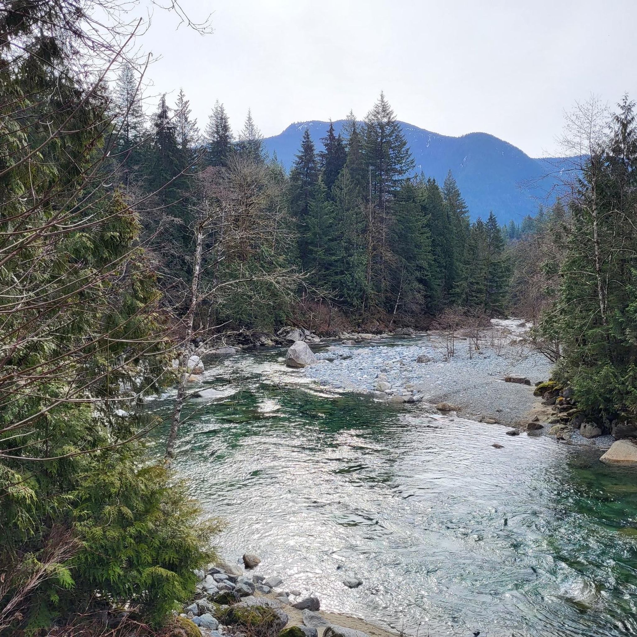
Kanaka Creek is a beautiful salmon-bearing stream that flows through Maple Ridge into the Fraser River. It runs through forested ravines and sandstone canyons, with seasonal salmon runs in spring and fall. The creek supports diverse wildlife and is essential to the park’s hatchery and conservation efforts.
0
0

St. George's Anglican Church in Fort Langley, BC, is a historic Carpenter Gothic-style church established in 1859 and consecrated in 1901. Located at 9160 Church Street, it remains an active parish known for its inclusive community and heritage architecture.
0
0

Small town with lots of cute small shops. Not to be confused with the City of Langley (uninteresting to cyclists) or Langley Township (with lots of country roads through farmland).
0
0

Saba cafe is great for a coffee stop, and snacks, breakfast, or lunch, but they're not open on Mondays. Wendell's is very good, but typically very busy and can be a long wait. Little Donkey has great burritos!
0
0
Picturesque village centre with a number of great cafes for a coffee stop, and casual lunch spots for something more substantial.
0
0
Beautiful and usually quiet road through the park, parallel to the river, that makes a great approach to, or sortie from, Fort Langley.
0
0
Frequently Asked Questions
Can I road bike directly within the UBC Malcolm Knapp Research Forest?
No, road cycling is not permitted within the official boundaries of the UBC Malcolm Knapp Research Forest. The forest is dedicated to forestry research and education, and its guidelines explicitly state that bicycles are not allowed on its trails to protect sensitive research projects and maintain the integrity of ongoing studies.
What kind of road cycling routes can I find in the area surrounding the UBC Malcolm Knapp Research Forest?
While the Research Forest itself prohibits cycling, the surrounding Maple Ridge area offers diverse road cycling routes. These routes navigate through dense woodlands, past lakes, and along river corridors, featuring varied topography with both flat sections and significant climbs. You can explore options like Mill Pond – Kanaka Creek Regional Park loop from Port Haney or the longer Pitt Bridge to Airport route – Port Mann Bridge loop from Maple Meadows.
What is the typical difficulty level of road cycling routes near the UBC Malcolm Knapp Research Forest?
The road cycling routes in the broader region offer a range of difficulty levels. You'll find routes classified from moderate to difficult, catering to different experience levels. For example, the Mill Pond – Kanaka Creek Regional Park loop from Port Haney is considered moderate, while the Mill Pond – Allan Lake loop from Webster's Corners is rated as difficult due to its substantial elevation gain.
How long are the road cycling routes available in the vicinity of the Research Forest?
The routes vary significantly in length. You can find shorter rides, such as the Kanaka Creek loop from Kanaka Creek Regional Park which is about 43 km (26.7 miles), up to longer excursions like the Pitt Bridge to Airport route – Port Mann Bridge loop from Maple Meadows, spanning approximately 87.4 km (54.3 miles).
Are there any specific regulations or permits needed for road cycling in the Maple Ridge area?
While the UBC Malcolm Knapp Research Forest itself has strict no-cycling rules, general road cycling in the surrounding Maple Ridge area typically follows standard road rules. No specific permits are usually required for cycling on public roads. Always be mindful of local traffic laws and respect private property.
What is the best time of year for road biking near the UBC Malcolm Knapp Research Forest?
The region experiences significant precipitation, mostly rain, with higher elevations receiving snow for several months. Therefore, the best time for road biking is generally during the drier months, typically from late spring through early autumn, when weather conditions are more favorable and roads are clear of snow and ice.
Are there family-friendly road cycling options in the vicinity of the Research Forest?
While many routes in the area involve significant distances and elevation changes, some routes might be more suitable for families depending on their experience level. For example, the Langley Canada Day Populaire – BC Farm Museum loop from Hope Redwoods Nature Area is rated as easy, offering a less strenuous option for a family outing.
Where can I park when planning a road cycling trip near the UBC Malcolm Knapp Research Forest?
Parking availability will depend on your chosen starting point for a route. Many routes begin from towns or regional parks in the Maple Ridge area, such as Port Haney or Maple Meadows, where public parking facilities may be available. Always check specific starting locations for parking information before your ride.
Are there any loop routes for road cycling in the area?
Yes, many of the road cycling routes in the area are designed as loops, allowing you to start and end at the same point. Examples include the Mill Pond – Kanaka Creek Regional Park loop from Port Haney and the Mill Pond – Allan Lake loop from Webster's Corners.
What natural features can I expect to see while road cycling near the UBC Malcolm Knapp Research Forest?
The region is characterized by diverse landscapes, including tall western red cedars and Douglas firs, lush ferns, and pristine lakes. Routes often pass through dense woodlands and offer views of the Pitt River. You'll experience much of the lower coastal region's historical natural environment, with elevation changes ranging from near sea level to higher mountainous terrain.
Are there any cafes or places to stop for refreshments along the road cycling routes?
The routes typically pass through or near towns like Port Haney, Maple Meadows, or Webster's Corners, where you can find various amenities, including cafes, restaurants, and convenience stores for refreshments and breaks during your ride.
What do other road cyclists enjoy the most about road cycling in the area?
The area is highly rated by the komoot community, with an average score of 4.0 stars. Reviewers often praise the varied terrain, the challenging climbs, and the opportunity to explore the natural environment surrounding the Research Forest. The network offers routes for different ability levels, making it appealing to a wide range of riders.
Most popular routes in Ubc Malcolm Knapp Research Forest

Get inspired with the komoot mobile app


Explore more
Browse the best Road cycling routes in other regions.
