The best gravel rides in Nsg Bachtäler Im Oberharz Um Braunlage
4.4
(112)
837
riders
85
rides
Gravel biking in Nsg Bachtäler Im Oberharz Um Braunlage offers routes through the Upper Harz region, characterized by its diverse topography, including pristine stream courses, valleys, and forested landscapes. The terrain features varied surfaces suitable for gravel bikes, ranging from forest paths to more open sections, with significant elevation changes. This area provides a network of trails that navigate the natural features of the Harz Mountains, including ascents to prominent summits like the Wurmberg and Brocken.
Best gravel bike trails…
Last updated: July 3, 2026
4.4
(11)
50
riders
19.8km
01:30
510m
510m
Hard gravel ride. Very good fitness required. Mostly paved surfaces. Suitable for all skill levels.
5.0
(3)
12
riders
60.6km
03:56
950m
950m
Hard gravel ride. Very good fitness required. You may need to push your bike for some segments of this route.

Sign up for free
9
riders
45.5km
03:41
1,130m
1,130m
Hard gravel ride. Very good fitness required. Mostly paved surfaces. Suitable for all skill levels.
5.0
(3)
5
riders
37.5km
02:48
980m
980m
Hard gravel ride. Very good fitness required. You may need to push your bike for some segments of this route.
3.5
(2)
8
riders
61.4km
03:44
740m
740m
Hard gravel ride. Very good fitness required. You may need to push your bike for some segments of this route.
Get access to more routes and recommendations from other explorers.
Sign up for free
Already have an account?
Our route recommendations are based on thousands of hikes, rides, and runs completed by other people on komoot.
Start today with a free account
Your next adventure awaits.
Login or Signup
Popular around Nsg Bachtäler Im Oberharz Um Braunlage
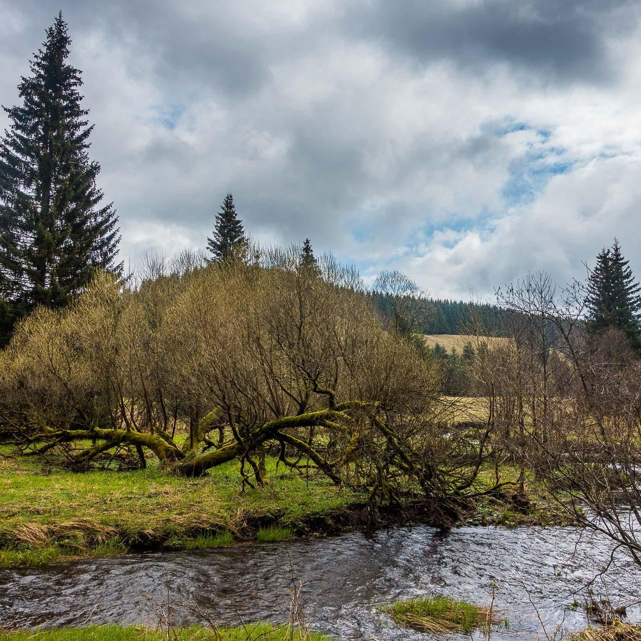
Hiking in Nsg Bachtäler Im Oberharz Um Braunlage
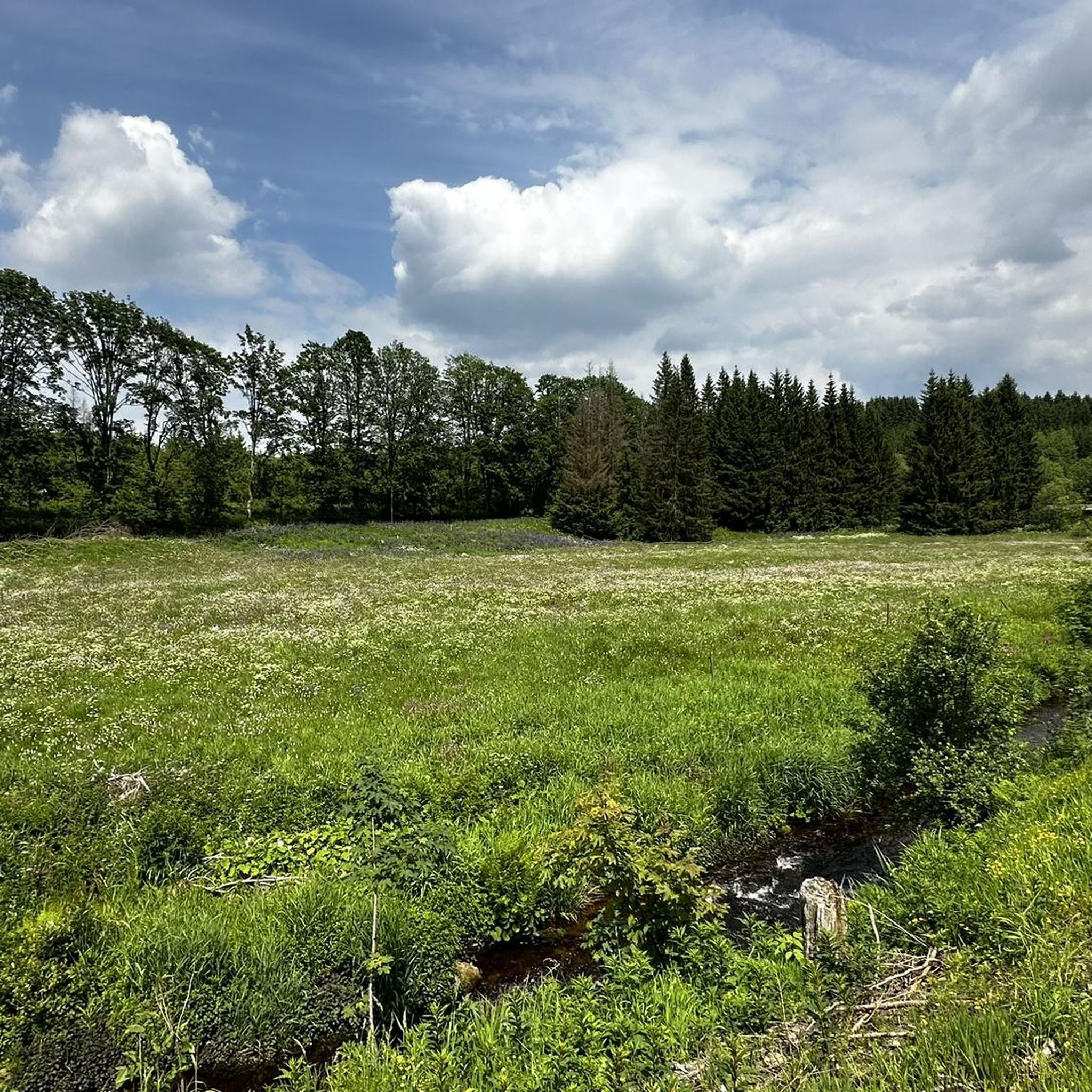
Road Cycling Routes in Nsg Bachtäler Im Oberharz Um Braunlage
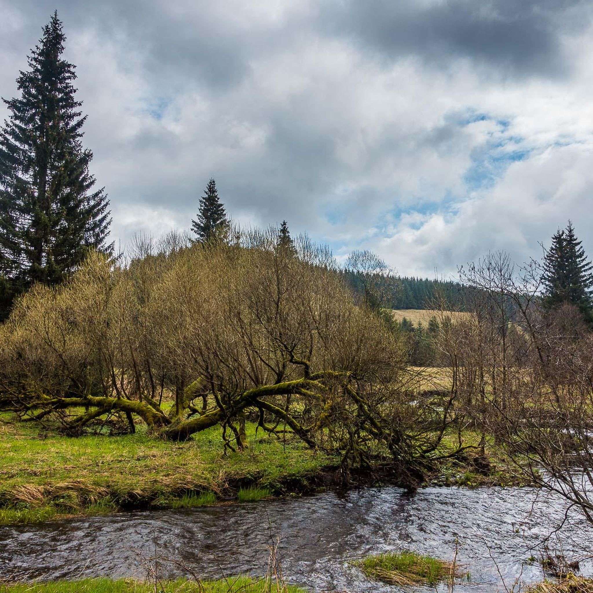
Running Trails in Nsg Bachtäler Im Oberharz Um Braunlage
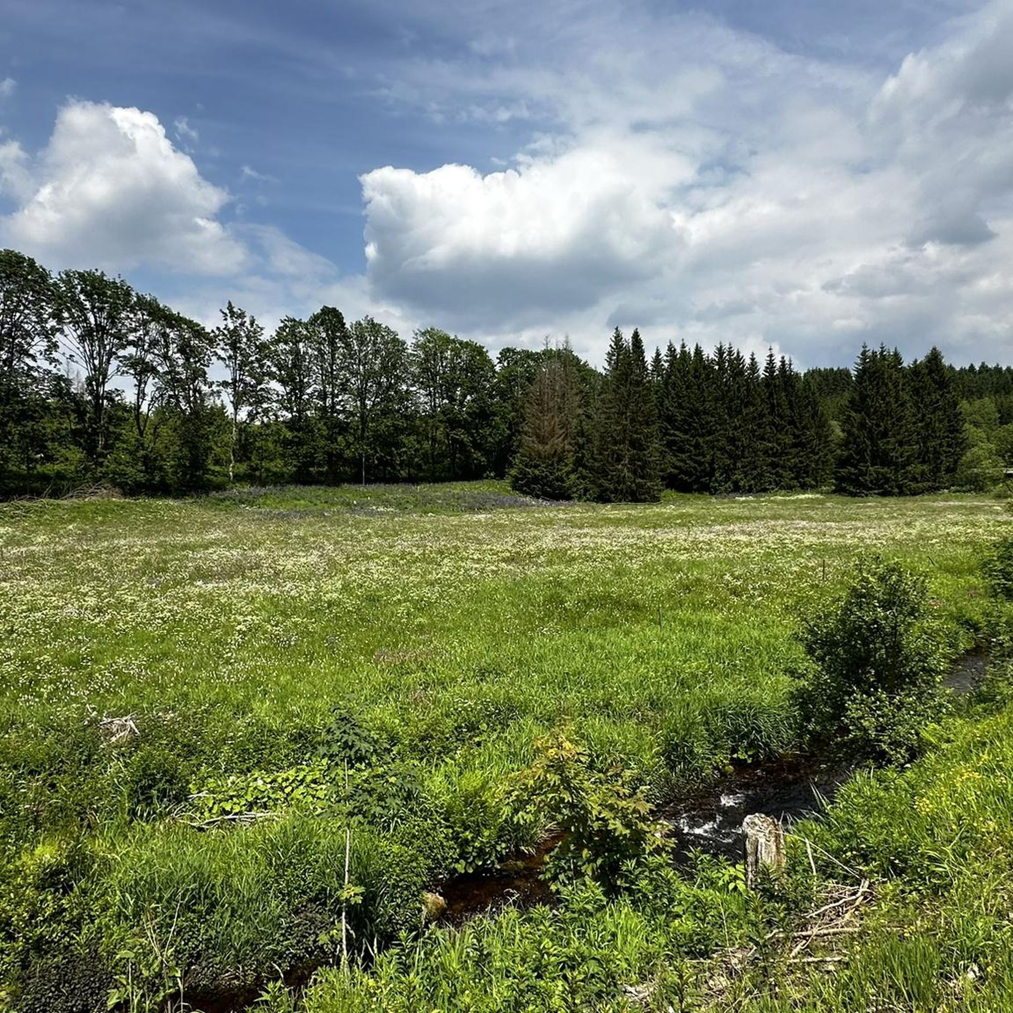
MTB Trails in Nsg Bachtäler Im Oberharz Um Braunlage
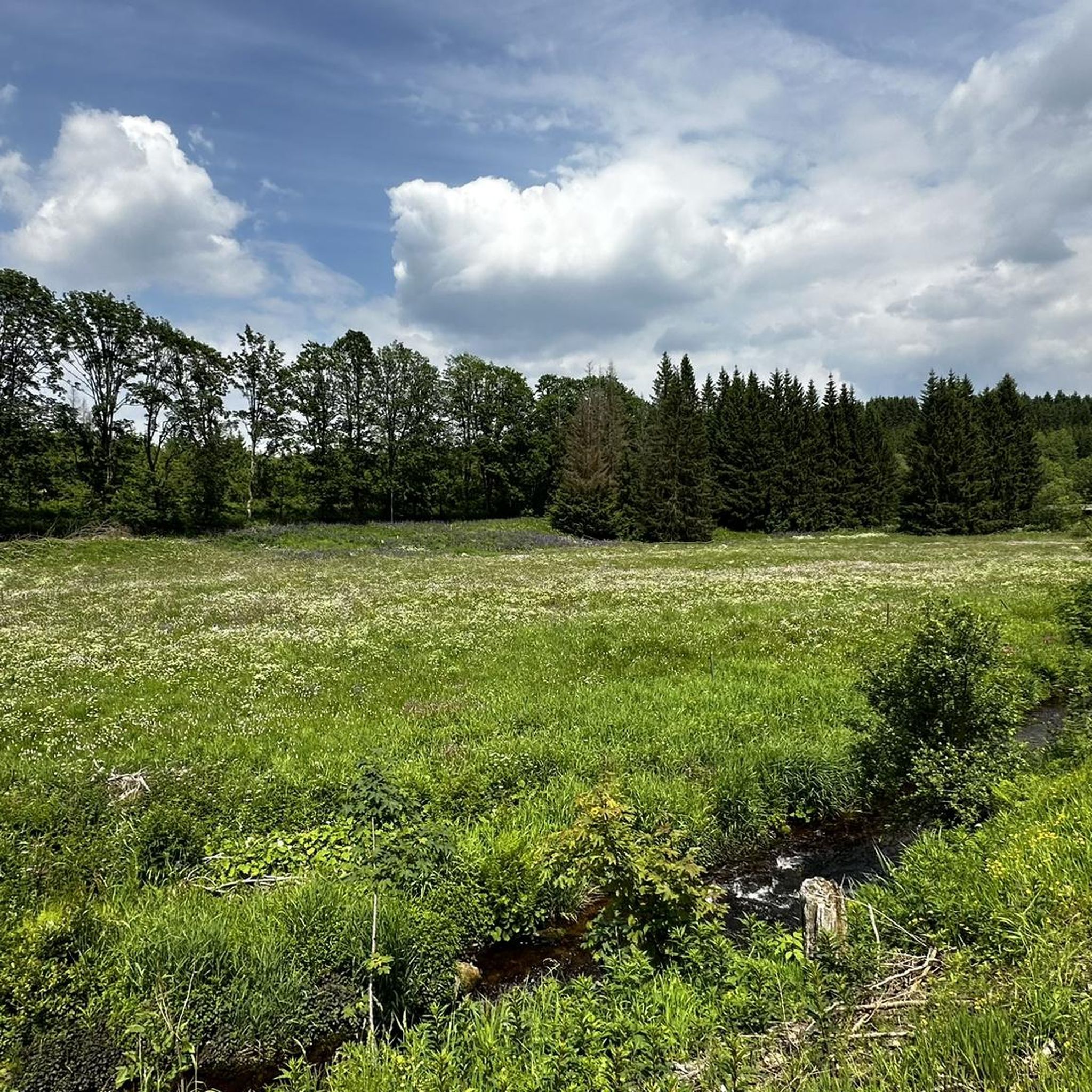
Cycling in Nsg Bachtäler Im Oberharz Um Braunlage
Mountain Hikes in Nsg Bachtäler Im Oberharz Um Braunlage
Tips from the Community

If you take the cable car up the Wurmberg or from the top, you have a beautiful view of Braunlage.
3
0


The journey is the destination - not always easy terrain, but very beautiful in dry weather
1
0

Beautiful and quiet trail.
0
0


In the heart of the Rappbode Valley, the "Titan-RT" spans the Bode reservoir with an incredible total length of 458.5 meters. The delicate cable structure was completed in spring 2017 and, with a massive tensile force of 947 tons, claws its way into the slate rocks on both sides of the valley. Four main suspension cables with a diameter of 65 mm form the backbone of the 120-ton structure. In addition, two stabilizing cables keep the bridge in shape—and in position during higher wind speeds. The 120-cm-wide walkway (grating) is lined along its entire length by a 130-cm-high railing and is enclosed on the sides by stainless steel mesh. Highly recommended⭐️⭐️⭐️⭐️⭐️
2
0

A considerable difference in height between the dams - quite impressive
1
0

Frequently Asked Questions
What is the general difficulty level of gravel biking trails in Nsg Bachtäler Im Oberharz Um Braunlage?
The gravel biking trails in Nsg Bachtäler Im Oberharz Um Braunlage are predominantly challenging. Out of 91 available routes, 59 are classified as difficult and 32 as moderate. There are no easy routes, indicating that the region is best suited for experienced gravel bikers looking for a demanding ride.
Are there any family-friendly gravel biking routes in the Nsg Bachtäler Im Oberharz Um Braunlage region?
Given the challenging nature of the terrain, with most routes classified as moderate to difficult and featuring significant elevation changes, truly family-friendly gravel biking routes suitable for young children or beginners are limited. The region is more geared towards experienced riders.
Where can I find scenic viewpoints along the gravel bike trails?
Many routes offer stunning views, particularly those ascending to higher elevations. For example, the Wurmberg Summit – View of the Brocken loop from Braunlage provides vistas towards the Brocken. Another route, the Oder Reservoir – View of Bad Sachsa loop from Braunlage, offers scenic views towards the Oder Reservoir and Bad Sachsa.
Are there any circular gravel bike routes available?
Yes, many of the gravel bike routes in Nsg Bachtäler Im Oberharz Um Braunlage are designed as loops, often starting and ending in Braunlage. Examples include the Brocken – Brocken Summit loop from Braunlage and the Oder Reservoir – Oder Reservoir loop from Braunlage, allowing for convenient round trips.
What are some of the longer gravel biking routes in the area?
For those seeking a longer ride, the Oder Reservoir – View of Bad Sachsa loop from Braunlage is a significant option, covering 37.6 miles (60.6 km) with substantial elevation gain. Another challenging long route is the Oder Reservoir – Oder Reservoir loop from Braunlage, which spans 28.3 miles (45.5 km).
Are there places to stop for refreshments or cafes along the routes?
Yes, you can find places to stop for refreshments. For instance, the HWN 9932 Forest Café Trout Pond is a notable highlight in the region, offering a potential stop for a break during your ride.
What kind of terrain can I expect on the gravel bike trails?
The terrain in Nsg Bachtäler Im Oberharz Um Braunlage is varied, characterized by forest paths, gravel tracks, and some more open sections. You'll encounter significant elevation changes as routes navigate valleys, hills, and ascents to prominent summits like the Wurmberg and Brocken, typical of the Upper Harz region.
What do other gravel bikers enjoy most about this region?
The region is highly rated by the komoot community, with an average score of 4.5 stars from over 130 reviews. Riders frequently praise the challenging ascents, the diverse forested landscapes, and the rewarding views, particularly towards the Brocken and Oder Reservoir.
Are there any historical or natural landmarks to explore near the gravel routes?
Yes, the area offers several interesting landmarks. You can explore the Kolonnenweg (Green Belt) – Former Border Patrol Road, which holds historical significance. Nature enthusiasts might enjoy the Valley trail in the Harzer Bachtäler nature reserve or the unique Stepping Stones on the Myths Trail (Mythenpfad) in Harz National Park.
What is the best time of year for gravel biking in Nsg Bachtäler Im Oberharz Um Braunlage?
While gravel biking is possible for much of the year, the spring, summer, and early autumn months generally offer the most favorable conditions with milder weather and less chance of snow or ice, especially at higher elevations. Winter can bring snow and challenging conditions, making some trails impassable.
How many gravel bike trails are available in Nsg Bachtäler Im Oberharz Um Braunlage?
There are over 90 gravel bike trails available in the Nsg Bachtäler Im Oberharz Um Braunlage region, offering a wide variety of routes for different preferences, though primarily catering to moderate to difficult skill levels.
Are there any particularly challenging routes for advanced gravel bikers?
Advanced gravel bikers will find plenty of challenges. Routes like the Neuer Goetheweg – Brocken Summit loop from Braunlage, covering 23.3 miles (37.5 km) with nearly 1000 meters of elevation gain, offer a demanding experience. The ascents to the Brocken and Wurmberg summits are consistently difficult.
Most popular routes in Nsg Bachtäler Im Oberharz Um Braunlage
Most popular attractions in Nsg Bachtäler Im Oberharz Um Braunlage

Get inspired with the komoot mobile app


Explore more
Browse the best Gravel rides in other regions.
