Nsg Bachtäler Im Oberharz Um Braunlage
Nsg Bachtäler Im Oberharz Um Braunlage
The best road cycling routes in Nsg Bachtäler Im Oberharz Um Braunlage
4.6
(403)
8,486
riders
116
rides
Road cycling in Nsg Bachtäler Im Oberharz Um Braunlage offers diverse terrain within the Harz mountains, characterized by near-natural stream valleys and varied biotopes. The elevation ranges from 487 to 875 meters above sea level, providing a mix of climbs and descents for road cyclists. This protected area features extensive grasslands, mountain meadows, and diverse forests, including montane spruce forests. A section of the former Südharzeisenbahn railway track has been converted into a comfortable cycle path, following the scenic Brunnenbach…
Last updated: July 1, 2026
5.0
(5)
110
riders
Hard road ride. Very good fitness required. Mostly well-paved surfaces and easy to ride.
60
riders
45.7km
02:08
530m
540m
Moderate road ride. Good fitness required. Some segments of this route may be unpaved and difficult to ride.

Sign up for free
5.0
(1)
28
riders
110km
05:37
1,940m
1,940m
Hard road ride. Very good fitness required. Some segments of this route may be unpaved and difficult to ride.
14
riders
69.1km
03:07
730m
730m
Moderate road ride. Good fitness required. Some segments of this route may be unpaved and difficult to ride.
18
riders
59.4km
03:02
900m
900m
Hard road ride. Very good fitness required. Some segments of this route may be unpaved and difficult to ride.
Get access to more routes and recommendations from other explorers.
Sign up for free
Already have an account?
Our route recommendations are based on thousands of hikes, rides, and runs completed by other people on komoot.
Start today with a free account
Your next adventure awaits.
Login or Signup
Popular around Nsg Bachtäler Im Oberharz Um Braunlage
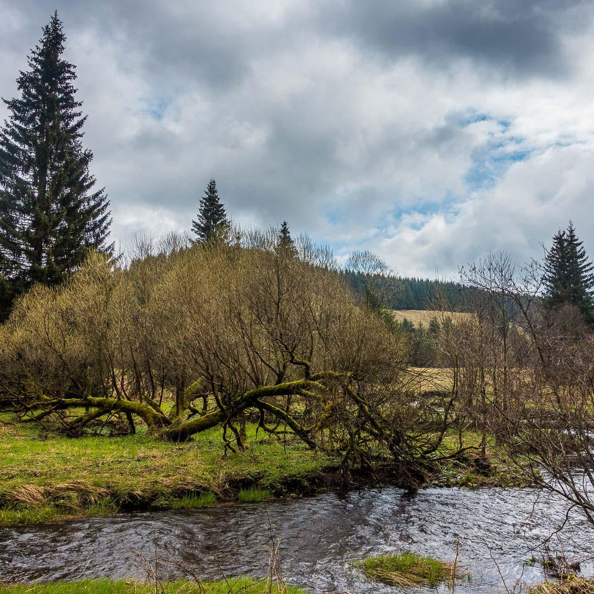
Hiking in Nsg Bachtäler Im Oberharz Um Braunlage
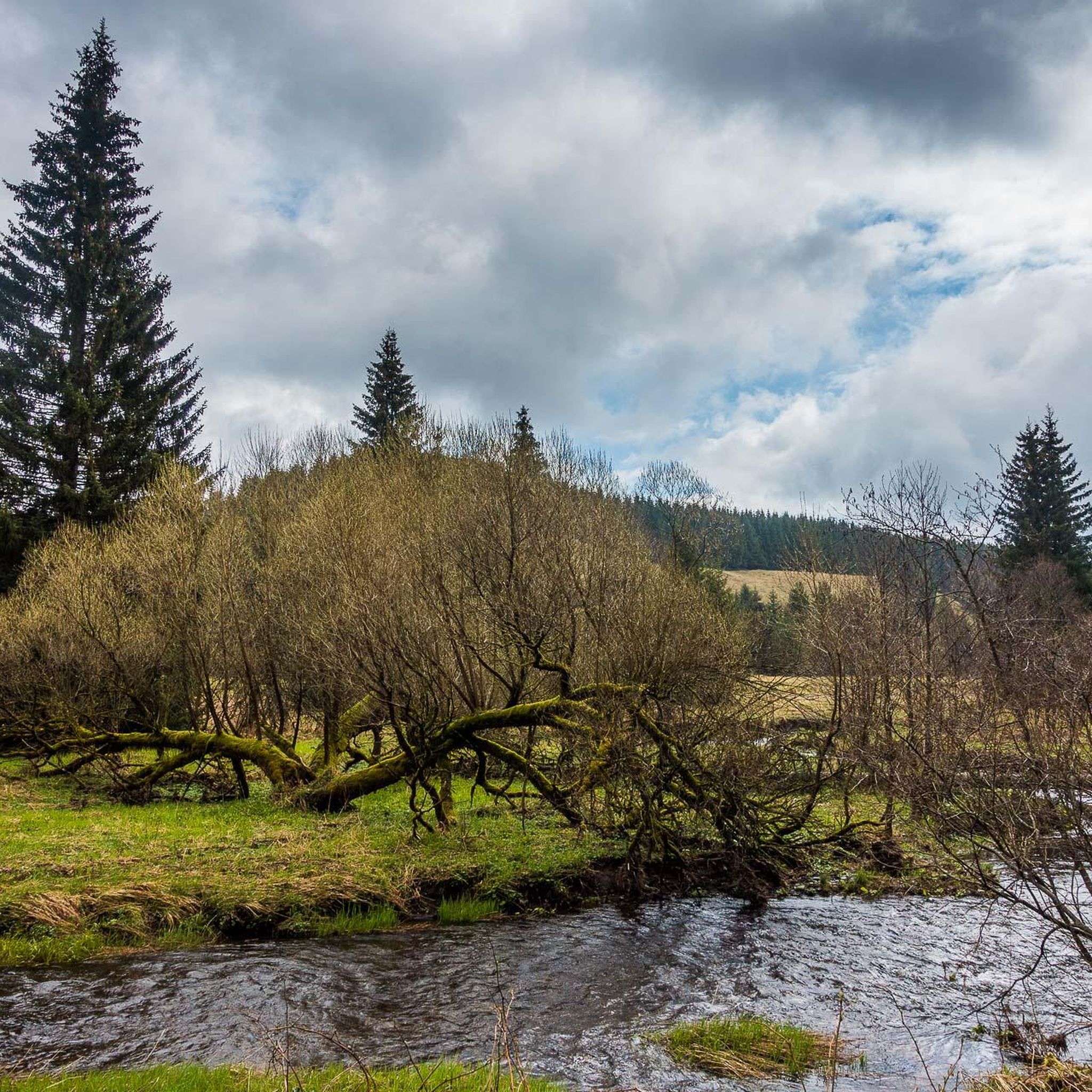
Running Trails in Nsg Bachtäler Im Oberharz Um Braunlage
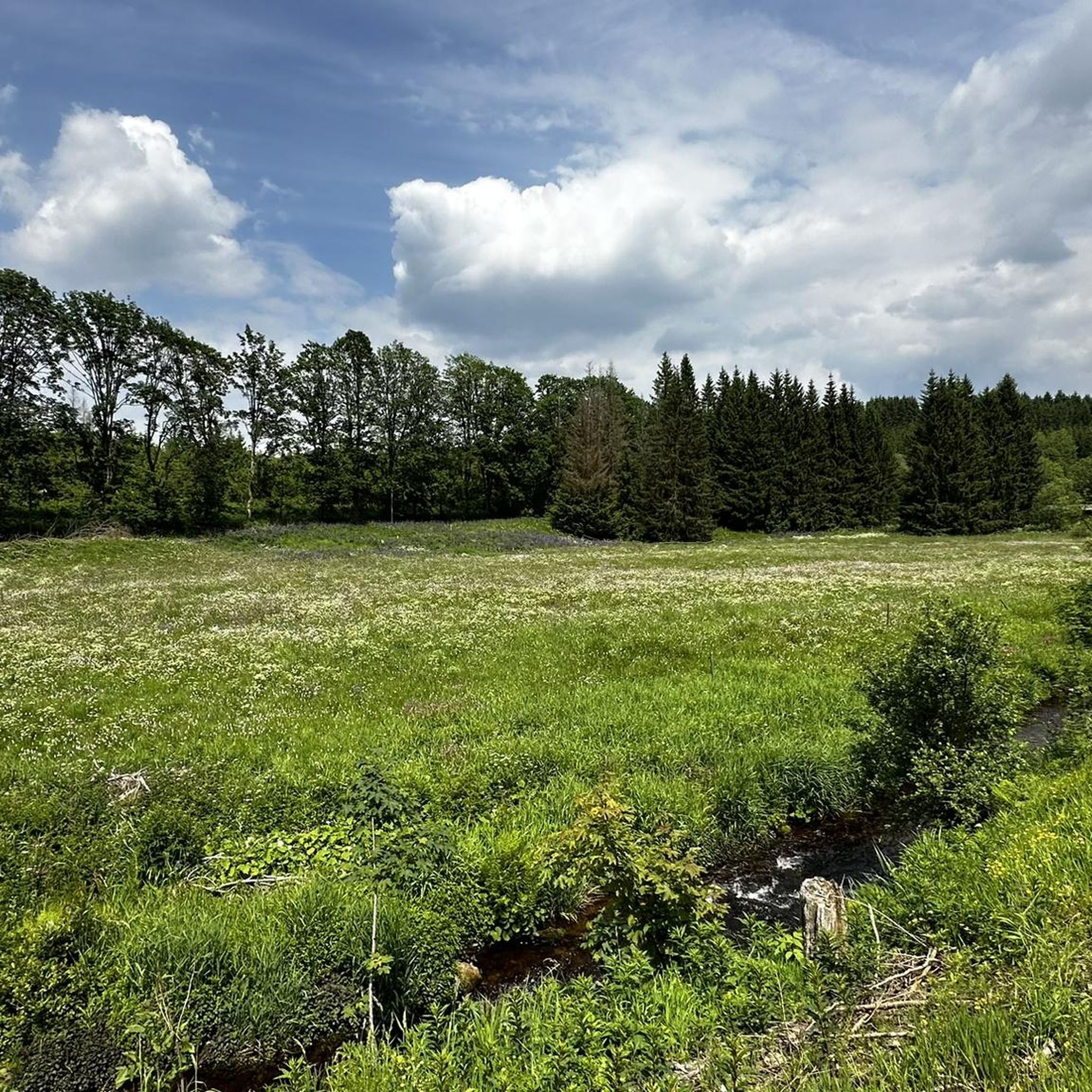
MTB Trails in Nsg Bachtäler Im Oberharz Um Braunlage

Gravel biking in Nsg Bachtäler Im Oberharz Um Braunlage
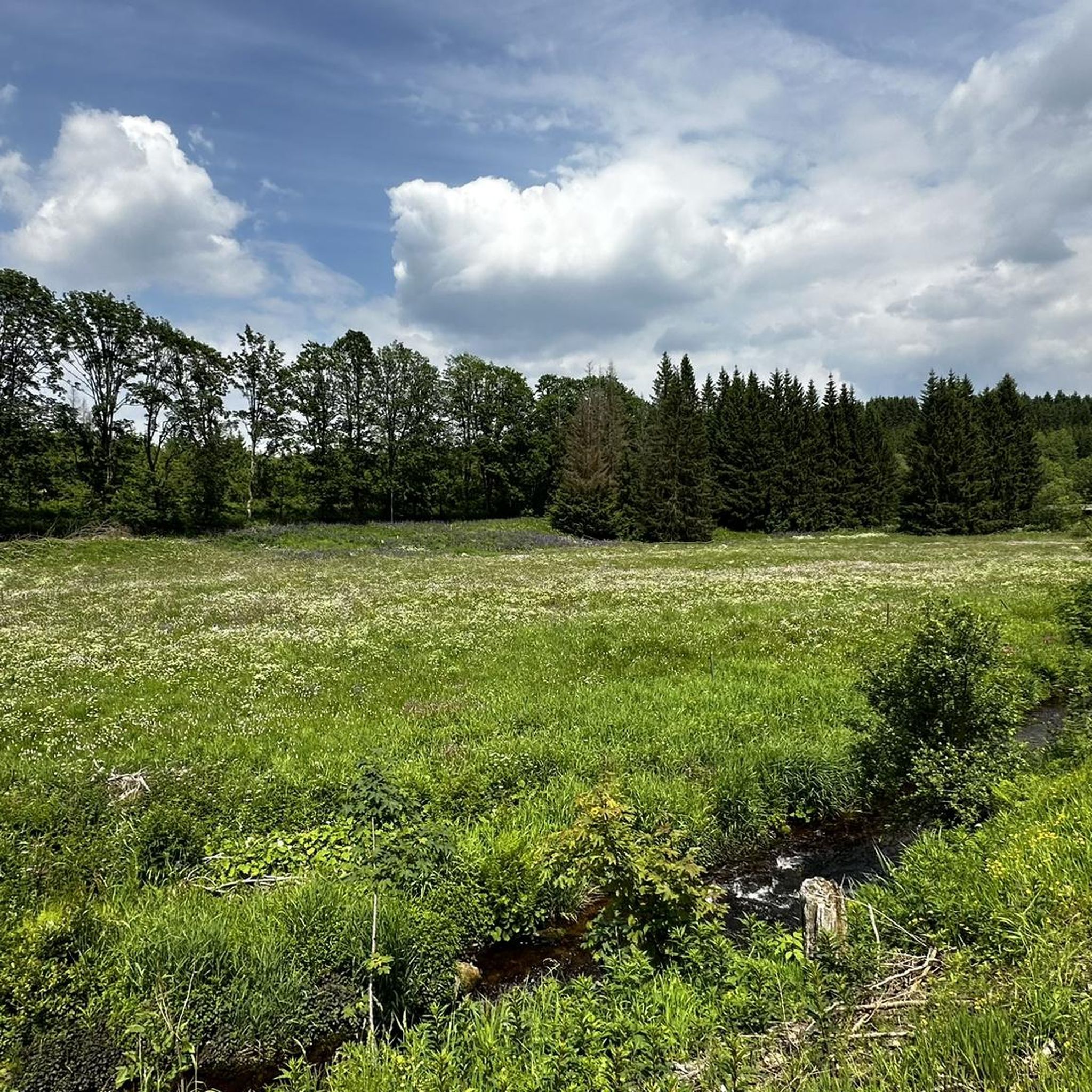
Cycling in Nsg Bachtäler Im Oberharz Um Braunlage
Mountain Hikes in Nsg Bachtäler Im Oberharz Um Braunlage
Tips from the Community

Delicious short and steep singletrack just outside the village. You can easily skip it, but it's much more fun to tackle it if you like a challenge.
1
0

Good cycle path, somewhat monotonous and unfortunately not continuous.
4
0
Quite unexpectedly, you suddenly find yourself walking along the old railway tracks. The route across the road/rail bridges and the crossing seems a bit odd, but it works well.
1
0

Very nice natural pool, but the nearby road is a bit of a nuisance.
8
1

Beautiful scenery and excellent asphalt. The route is quite quiet and offers a pleasant driving experience.
0
0

a historical shudder every time.
0
0

It was pretty quiet here this weekend, and the climb is quite steep. The surface is very good.
1
0
Great surface, hardly any traffic. Untouched forest and a beautiful descent with a nice climb. A nice feeder to the Bode Valley.
0
0
Frequently Asked Questions
How many road cycling routes are available in Nsg Bachtäler Im Oberharz Um Braunlage?
There are over 125 road cycling routes in Nsg Bachtäler Im Oberharz Um Braunlage, offering a wide range of options for different skill levels. These include 6 easy, 59 moderate, and 60 difficult routes.
What kind of terrain can I expect when road cycling in Nsg Bachtäler Im Oberharz Um Braunlage?
The region offers diverse terrain within the Harz mountains, characterized by near-natural stream valleys and varied biotopes. Elevations range from 487 to 875 meters above sea level, providing a mix of climbs and descents. You'll encounter extensive grasslands, mountain meadows, and diverse forests, including montane spruce forests. A section of the former Südharzeisenbahn railway track has even been converted into a comfortable cycle path, following the scenic Brunnenbach and Goldbach valleys.
Are there any easy road cycling routes suitable for beginners in the area?
Yes, Nsg Bachtäler Im Oberharz Um Braunlage offers 6 easy road cycling routes. These are ideal for beginners or those looking for a more relaxed ride through the scenic landscapes.
What are some notable natural features or landmarks I can see while cycling?
While cycling, you can experience the unique stream valleys (Bachtäler) with meandering brooks like the Bremke and Warmer Bode. The area is rich in biotopes, including nutrient-poor spring bogs and mountain meadows. You might also encounter rare plant species. For specific points of interest, consider exploring the Valley trail in the Harzer Bachtäler nature reserve or the Kolonnenweg (Green Belt) – Former Border Patrol Road.
Are there any circular road cycling routes in Nsg Bachtäler Im Oberharz Um Braunlage?
Yes, many routes in the region are designed as loops. For example, the popular View of Brocken and Wurmberg – Nullpunkt Climb (Zorge to Braunlage) loop from Braunlage offers panoramic views, and the Mandelholz Dam loop from Braunlage provides a scenic ride around the dam.
What is the best time of year for road cycling in Nsg Bachtäler Im Oberharz Um Braunlage?
The Harz region is generally popular for cycling from spring through autumn. The diverse forests and mountain meadows are particularly beautiful during these seasons. While winter cycling is possible, conditions can be challenging due to snow and ice, especially at higher elevations.
Are there options for advanced road cyclists looking for a challenge?
Absolutely. The region features 60 difficult road cycling routes, offering significant elevation gains and challenging terrain. The View of Brocken and Wurmberg – Nullpunkt Climb (Zorge to Braunlage) loop from Braunlage, for instance, is a difficult 60.6 km route with over 900 meters of elevation gain, providing a demanding experience.
Can I find cafes or places to rest along the road cycling routes?
Yes, the Braunlage area and its surroundings offer amenities for cyclists. You can find places to rest and refuel, such as the HWN 9932 Forest Café Trout Pond, which is a highlight in the region. Braunlage itself also has various cafes and accommodations.
What do other road cyclists enjoy most about road cycling in Nsg Bachtäler Im Oberharz Um Braunlage?
The area is highly rated by the komoot community, with an average score of 4.7 stars from over 370 reviews. Road cyclists often praise the varied terrain, the stunning natural backdrops, and the well-maintained paths that cater to different ability levels. The panoramic views, especially towards the Brocken and Wurmberg, are frequently highlighted.
Is Nsg Bachtäler Im Oberharz Um Braunlage suitable for family-friendly road cycling?
Yes, the region offers routes suitable for families. With 6 easy routes and a comfortable cycle path created from a former railway track along the Brunnenbach and Goldbach valleys, there are options for less experienced riders and families to enjoy the natural surroundings at a gentler pace.
Where can I park my car when starting a road cycling route in the area?
Braunlage serves as a central starting point for many routes, and you can typically find parking facilities within or near the town. Specific parking information for individual trailheads might vary, but general parking options are available for visitors to the Harz region.
Are there any routes that offer views of the Brocken or Wurmberg?
Yes, several routes provide excellent views of the Harz mountains' prominent peaks. The View of Brocken and Wurmberg – Nullpunkt Climb (Zorge to Braunlage) loop from Braunlage is specifically designed to offer panoramic views of both the Brocken and Wurmberg, Lower Saxony's highest mountain.
Most popular routes in Nsg Bachtäler Im Oberharz Um Braunlage
Most popular attractions in Nsg Bachtäler Im Oberharz Um Braunlage

Get inspired with the komoot mobile app


Explore more
Browse the best Road cycling routes in other regions.
