The best walks and hikes in Nsg Bachtäler Im Oberharz Um Braunlage
4.5
(64414)
228,318
hikers
33
hikes
Hiking in Nsg Bachtäler Im Oberharz Um Braunlage offers diverse landscapes within the Harz mountains. The region is characterized by pristine stream courses like the Bremke and Warme Bode, alongside nutrient-poor spring fens and bogs. Elevations over 800 meters feature montane spruce forests, while lower areas include mountain meadows and extensive grasslands. This varied topography contributes to a rich mosaic of biotopes, recognized as a Natura 2000 European protected area.
Best hiking trails in Nsg Bachtäler Im Oberharz Um Braunlage
…Last updated: July 5, 2026
4.6
(60)
217
hikers
3.98km
01:06
70m
70m
Easy hike. Great for any fitness level. Easily-accessible paths. Suitable for all skill levels.
4.6
(79)
330
hikers
17.3km
05:06
490m
490m
Hard hike. Very good fitness required. Easily-accessible paths. Suitable for all skill levels.

Sign up for free
4.4
(47)
226
hikers
Moderate hike. Good fitness required. Easily-accessible paths. Suitable for all skill levels.
4.7
(171)
515
hikers
4.53km
01:15
80m
80m
Easy hike. Great for any fitness level. Easily-accessible paths. Suitable for all skill levels.
4.8
(32)
125
hikers
17.7km
05:07
450m
440m
Hard hike. Very good fitness required. Easily-accessible paths. Suitable for all skill levels.
Get access to more routes and recommendations from other explorers.
Sign up for free
Already have an account?
Our route recommendations are based on thousands of hikes, rides, and runs completed by other people on komoot.
Start today with a free account
Your next adventure awaits.
Login or Signup
Popular around Nsg Bachtäler Im Oberharz Um Braunlage
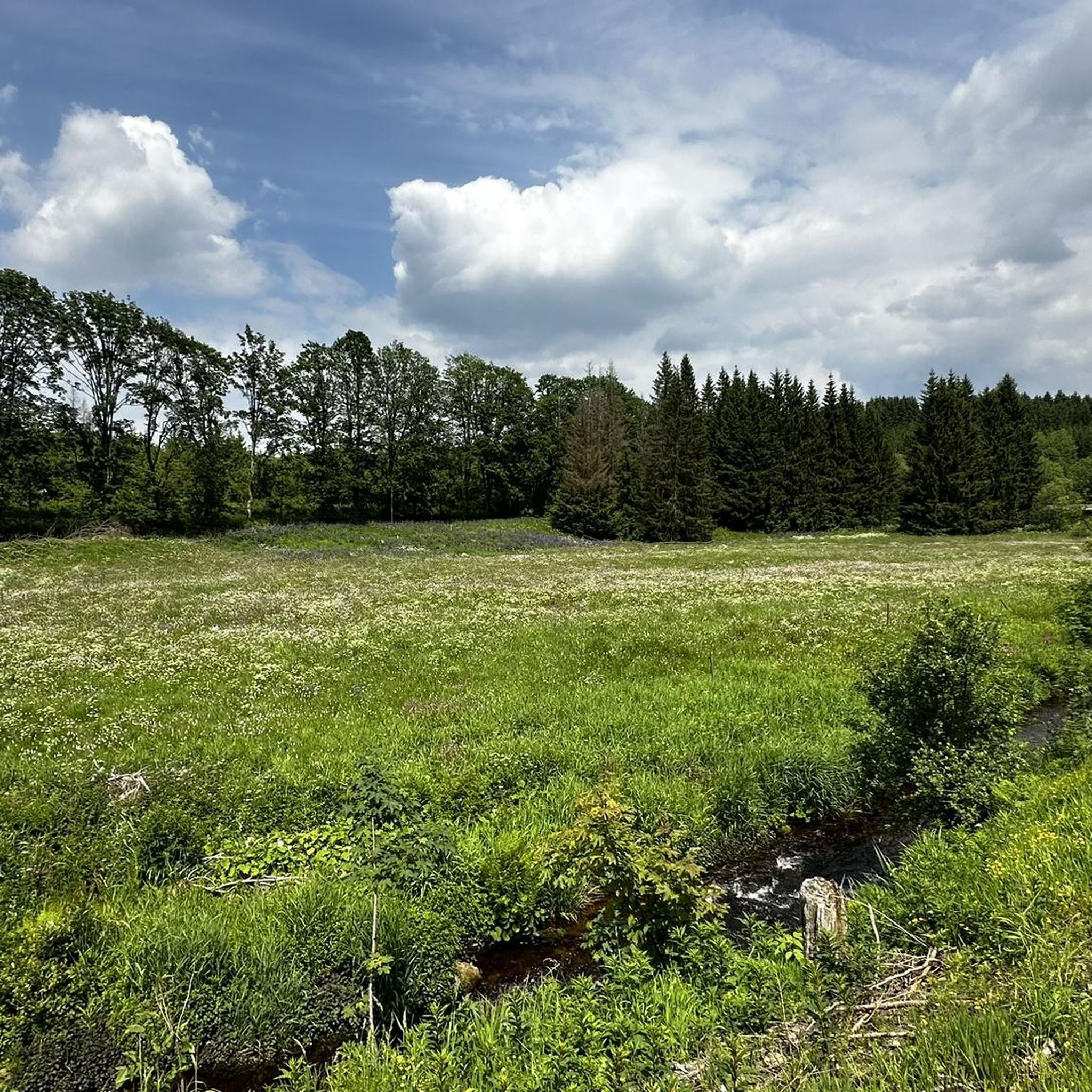
Road Cycling Routes in Nsg Bachtäler Im Oberharz Um Braunlage
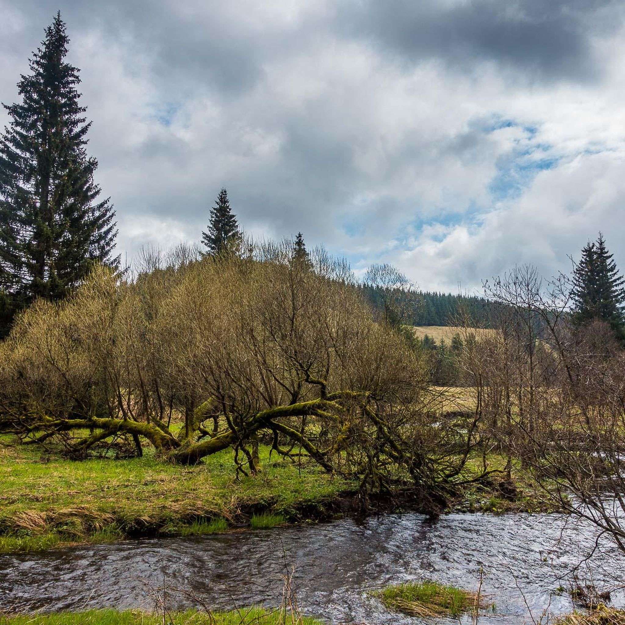
Running Trails in Nsg Bachtäler Im Oberharz Um Braunlage
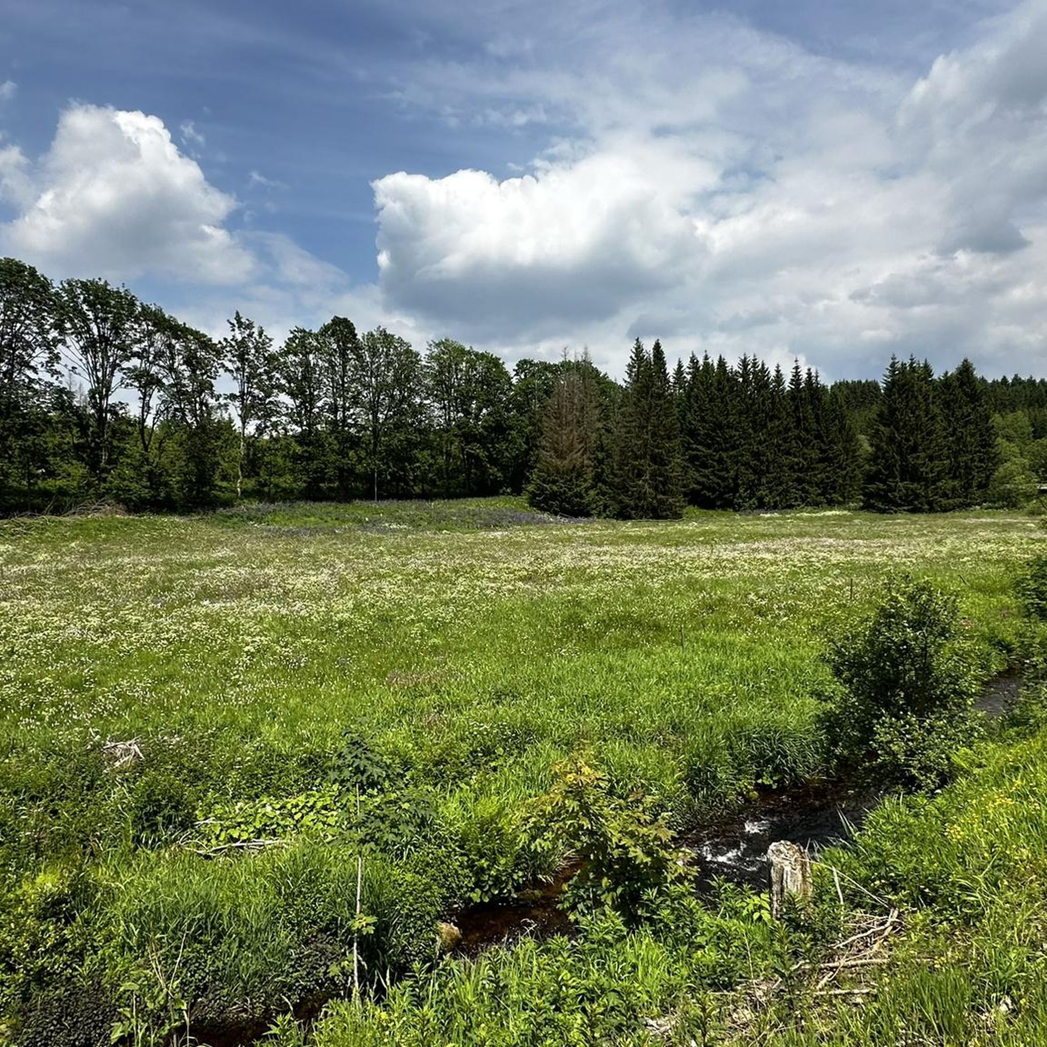
MTB Trails in Nsg Bachtäler Im Oberharz Um Braunlage

Gravel biking in Nsg Bachtäler Im Oberharz Um Braunlage
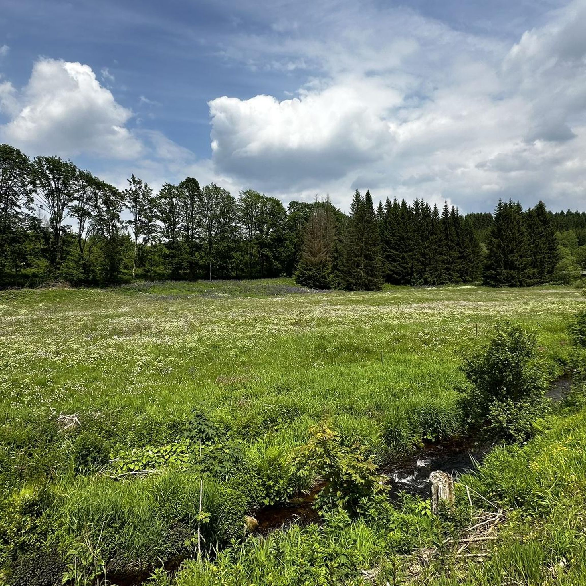
Cycling in Nsg Bachtäler Im Oberharz Um Braunlage
Mountain Hikes in Nsg Bachtäler Im Oberharz Um Braunlage
Tips from the Community

Beautiful spot for a rest bench, one likes to linger here a bit longer
0
0

Great place for young and old, upstairs there is even a small adventure playground by the pond.
0
0
One thing is clear: the view here is truly beautiful.
1
0

This relic is the border signal fence (here the modified version with a lane gate, built at great expense in the early 1980s). Due to topographical reasons, it stood at varying distances from the actual border fence. Typically, the control strip, patrol road, and border towers were located between the two fences.
0
0

Unfortunately, the entire forest in the area has died.
0
0

The hut looks more like a bus shelter (the route of the South Harz Railway also ran here), but the view of the Wurmberg and Brocken is really good
1
0

nice lunch spot
0
0

A very nice rest area
0
0
Frequently Asked Questions
How many hiking trails are available in Nsg Bachtäler Im Oberharz Um Braunlage?
The region offers over 30 hiking trails, catering to various fitness levels. You'll find 16 easy routes, 13 moderate trails, and 3 more challenging options to explore the diverse landscapes of the Harz mountains.
Are there family-friendly hiking options in Nsg Bachtäler Im Oberharz Um Braunlage?
Yes, the area is well-suited for families, with many easy walks. The "Naturmythenpfad" (Nature Myth Trail) near Braunlage, within the Harz National Park, features ten engaging stations that are particularly enjoyable for children. Some broad hiking paths are also suitable for strollers during dry weather.
What kind of natural features and landscapes can I expect to see while hiking here?
Nsg Bachtäler Im Oberharz Um Braunlage is characterized by pristine stream courses like the Bremke and Warme Bode, nutrient-poor spring fens, bogs, and mountain meadows. At higher elevations, over 800 meters, you'll encounter montane spruce forests. The varied topography offers a rich mosaic of biotopes, recognized as a Natura 2000 European protected area.
Are there any circular hiking routes available?
Yes, many routes in the area are circular. For example, the Sorge Border Museum loop from Harzer Bachtäler is an easy 4 km circular trail. Another popular option is a round trip along the Brunnenbach, Goldbach, and Bode rivers, which provides abundant natural experiences and grand vistas over Braunlage.
What are some notable landmarks or viewpoints along the trails?
Hikers can enjoy expansive views of the prominent Harz peaks, Wurmberg and Brocken. The scenic Silberteich (Silver Pond) offers picturesque views, and you can also explore the Valley trail in the Harzer Bachtäler nature reserve or the Kolonnenweg (Green Belt) – Former Border Patrol Road.
What is the best time of year to go hiking in Nsg Bachtäler Im Oberharz Um Braunlage?
The region is beautiful year-round. Spring brings lush greenery and blooming meadows, while summer offers pleasant temperatures for longer hikes. Autumn transforms the forests with vibrant colors, and winter provides opportunities for snowshoeing or cross-country skiing on suitable trails, though some paths may be less accessible.
Are there any trails that offer views of the Wurmberg or Brocken?
Yes, there are trails that provide impressive vistas of these iconic Harz peaks. The View of Wurmberg and Brocken – View of Brocken and Wurmberg loop from Braunlage is a moderate 9.8 km path specifically designed to offer these expansive views.
Where can I find information about parking or public transport for trail access?
While specific parking locations vary by trailhead, Braunlage serves as a central hub with various parking options. For detailed information on public transport connections and visitor services, you can consult the visitor centers within the Harz National Park. More information can be found on the Harz National Park website.
What do other hikers enjoy most about hiking in Nsg Bachtäler Im Oberharz Um Braunlage?
The area is highly rated by the komoot community, with an average score of 4.6 stars from over 5,600 reviews. Hikers often praise the pristine stream courses, the varied landscapes from montane spruce forests to mountain meadows, and the well-maintained paths that offer options for all ability levels.
Are there any trails that follow river or stream courses?
Yes, the region is defined by its natural stream courses. You can find trails that follow the Bremke, Warme Bode, Großer Goldbach, Großer Kronenbach, Brunnenbach, Petersilienwasser, and Ebersbach. The Bridge Over the Warme Bode – View of the Warm Bode Valley loop from Braunlage is a moderate trail that offers views of the Warm Bode Valley.
Can I find places to eat or stay near the hiking trails?
Braunlage, being a popular tourist town, offers a variety of cafes, restaurants, and accommodation options ranging from hotels to guesthouses. Many of these establishments are conveniently located near trailheads or within easy reach after a hike.
What is the typical terrain and elevation like on the trails?
The terrain is diverse, ranging from flat, broad paths suitable for easy walks to more challenging ascents in the montane zones. You'll encounter meandering paths along streams, through forests, and across meadows. Elevations can vary, with some areas reaching over 800 meters above sea level, particularly north of the Wurmberg.
Most popular routes in Nsg Bachtäler Im Oberharz Um Braunlage
Most popular attractions in Nsg Bachtäler Im Oberharz Um Braunlage

Get inspired with the komoot mobile app


Explore more
Browse the best Hikes in other regions.
