The best gravel rides in Mt Coot-Tha Reserve
4.0
(2)
51
riders
8
rides
Gravel biking in Mt Coot-Tha Reserve offers a network of trails through forested hills and natural bushland. The terrain is characterized by varied elevations, including significant climbs, and often features fire trails and unpaved paths suitable for gravel bikes. The reserve encompasses areas around Enoggera Reservoir and Gap Creek, providing diverse landscapes for off-road cycling. These routes primarily cater to experienced riders seeking challenging gravel bike trails.
Best gravel bike trails in Mt Coot-Tha Reserve
- The most popular gravel bike trail is Enoggera Dam loop from The Gap, a 29.2 miles (47.0 km) trail that takes 3 hours 44 minutes to complete. This difficult route features significant elevation gain around the reservoir.
- Another top favourite among local gravel bikers is Rocket Frog Trail, Gap Creek – Pinnacle Trail – 14% Incline loop from Toowong, a difficult 44.0 miles (70.8 km) path. This route navigates through challenging inclines and natural bushland.
- Local gravel bikers also love the Indooroopilly Bridge – Jindalee Route loop from Chelmer, an 18.3 miles (29.5 km) trail leading through varied terrain with significant elevation changes, often completed in about 2 hours 31 minutes.
- Gravel biking in Mt Coot-Tha Reserve is defined by forested hills, challenging climbs, and extensive unpaved paths. The network offers options primarily for experienced riders seeking difficult routes.
- The routes in Mt Coot-Tha Reserve are highly rated by the komoot community with an average score of 4.0 stars from 2 reviews. More than 60 gravel bikers have used komoot to explore Mt Coot-Tha Reserve's varied terrain.
Last updated: July 8, 2026
9
riders
70.8km
04:51
1,320m
1,320m
Hard gravel ride. Very good fitness required. Mostly paved surfaces. Suitable for all skill levels.
5.0
(1)
11
riders
29.1km
02:09
520m
520m
Hard gravel ride. Very good fitness required. Mostly paved surfaces. Suitable for all skill levels.

Sign up for free
4.0
(1)
7
riders
48.3km
03:17
860m
860m
Hard gravel ride. Very good fitness required. Mostly paved surfaces. Suitable for all skill levels.
17
riders
52.1km
03:31
1,010m
1,010m
Hard gravel ride. Very good fitness required. Mostly paved surfaces. Suitable for all skill levels.
3.0
(1)
7
riders
32.8km
02:20
430m
430m
Moderate gravel ride. Good fitness required. Mostly paved surfaces. Suitable for all skill levels.
Get access to more routes and recommendations from other explorers.
Sign up for free
Already have an account?
Our route recommendations are based on thousands of hikes, rides, and runs completed by other people on komoot.
Start today with a free account
Your next adventure awaits.
Login or Signup
Tips from the Community

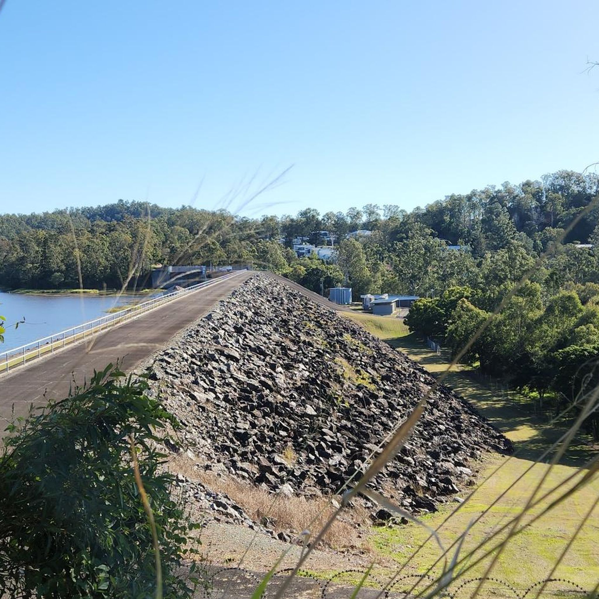
The Lanita Rail Trail (also known as the Samford Cycle Link or part of the broader Ferny Grove to Samford Rail Trail) is a historic rail path that is shared by runners, walkers and bikers. It's paved and follows the old Dayboro branch railway line. The Lanita Rail Trail is just a 30-minute drive from the Brisbane Central Business District and feels like a nice escape into nature. Look out for railway cuttings and large earth embankments along the route as the path passes under eucalypti forests that wild wallabies call home.
0
0
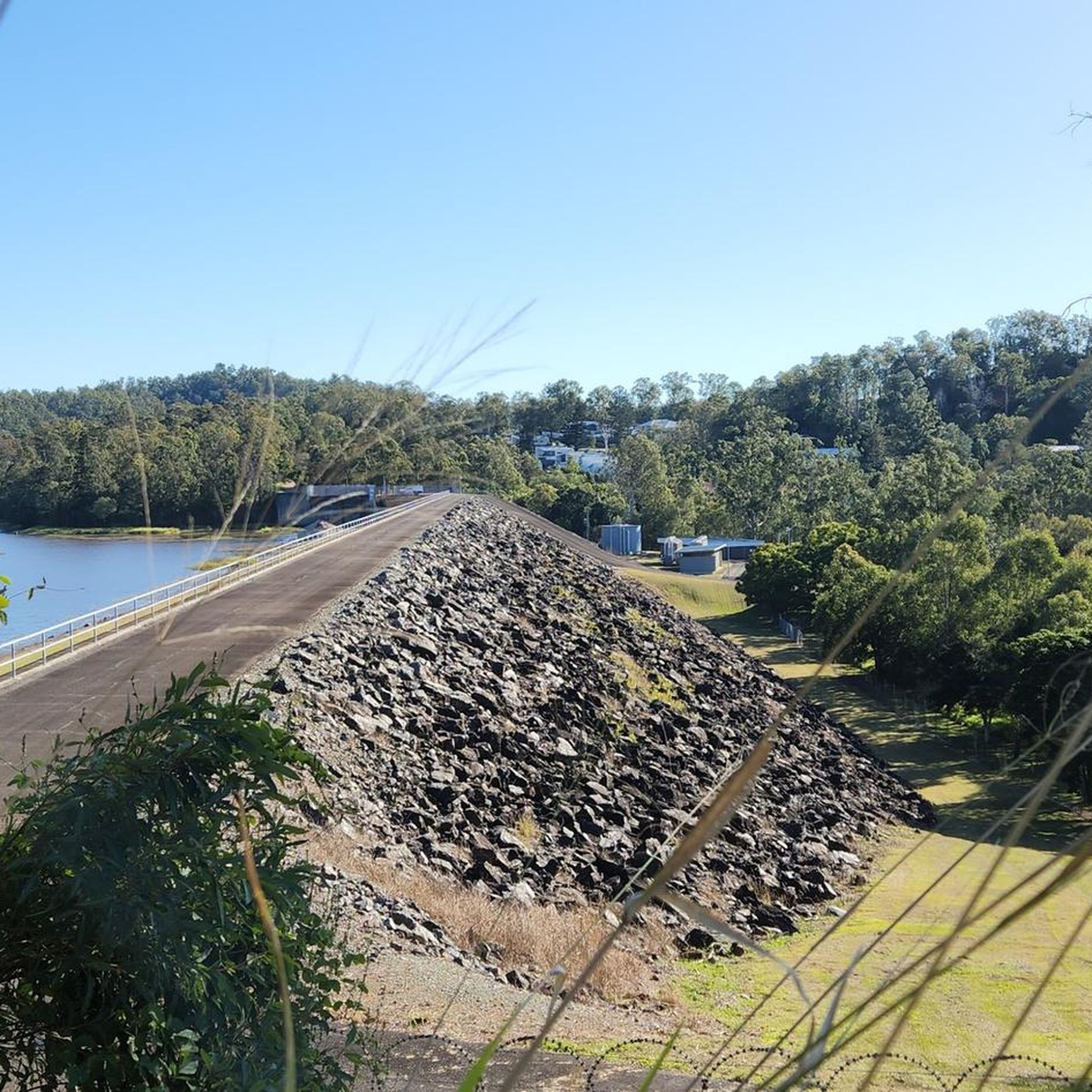
Kedron Creek passes under the Lanita Rail Trail and is a lively creek with ducks, herons, egrets, and kingfishers hanging out by the water's edge. It's scenic, surrounded by greenery and the bridge passing over it is very modern, looking like a wooden work of art.
0
0
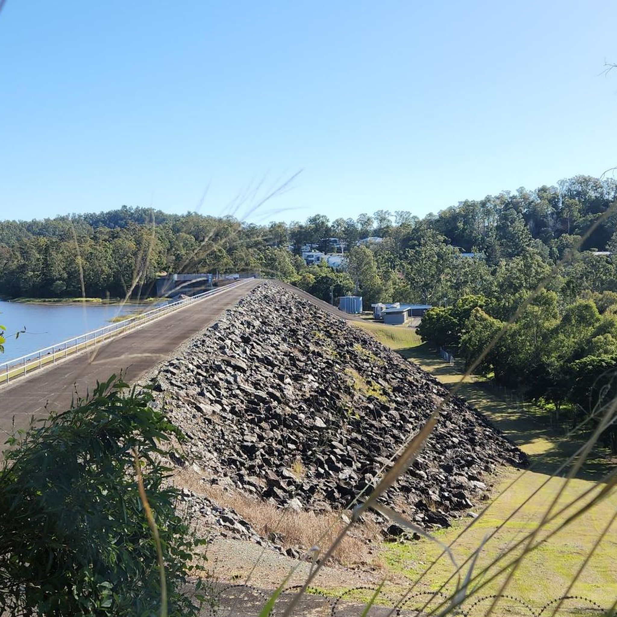
Lanita Court transitions into the most western end of the Lanita Rail Trail at this point. A metal gate restricts vehicles from entering, and there is signage about the conservation area. This trackhead is just the end of a road and not an official parking area. It's best to park at the eastern end of the Lanita Rail Trail at the car park for Wahminda Park.
0
0

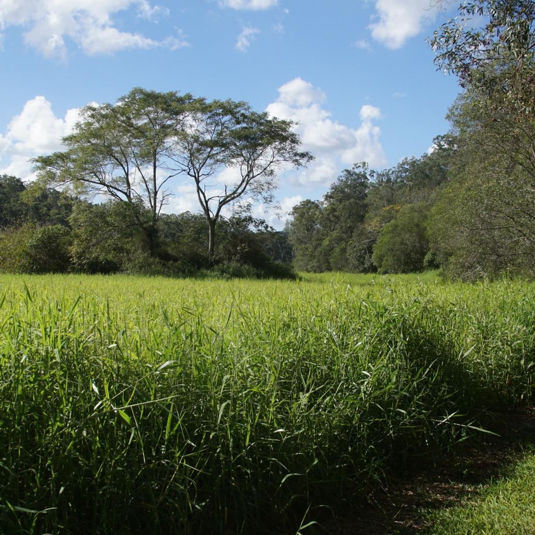
South Boundary Road trail is a wide gravel management road that runs through the southern section of D’Aguilar National Park, connecting many of the park’s walking, cycling, and equestrian trails. Running through native bushland, it’s the main access route that leads to several more challenging trails, and its wide surface and straightforward terrain make it a popular starting point for longer adventures in the park.
0
0
Cabbage Tree Creek Bikeway is a lovely, sealed shared pathway that follows Cabbage Tree Creek through a mix of bushland reserves, parkland, and open green space. It’s a mostly flat route that crosses a series of bridges and boardwalks as it runs along local parks, playgrounds, and neighbouring suburbs, making it popular for walking, running, and cycling. This creekside path is a great way to enjoy a peaceful stroll and is a nice escape from the urban hustle.
0
0

The picnic area has lots of shaded seating, and sprawls out across the street from the trailhead. There is parking and a restroom by the trail map as you start the track.
0
0
The Powerful Owl takes you on an elevated dirt track through the heart of the park. The path is wide and easy to follow, and is a great connector to the network of trails that spiderwebs out from it.
0
0

Ring Road is the main access route through Bunyaville Conservation Park, linking picnic areas, trailheads, and shared forest tracks beneath a canopy of tall eucalypts. The unsealed road winds through dry woodland and shaded gullies, with regular access to walking trails, mountain bike routes, and picnic facilities along the way. Around The Gully picnic area, you’ll find toilets, drinking water, picnic tables, and easy access to several short bush tracks through the forest.
0
0
Frequently Asked Questions
How many gravel bike trails are available in Mt Coot-Tha Reserve?
Mt Coot-Tha Reserve offers a network of 13 gravel bike trails. The majority of these, 12 routes, are rated as difficult, with one moderate option available.
Are there any easy gravel bike routes for beginners in Mt Coot-Tha Reserve?
The gravel biking trails in Mt Coot-Tha Reserve are primarily designed for experienced riders, with 12 out of 13 routes rated as difficult. There is one moderate route, but no easy routes are specifically listed for beginners. The terrain often includes significant climbs and challenging unpaved paths.
What kind of terrain can I expect on the gravel bike trails in Mt Coot-Tha Reserve?
You can expect forested hills, varied elevations with significant climbs, and extensive unpaved paths, including fire trails. The routes often navigate through natural bushland, providing a challenging off-road cycling experience.
Are there any loop trails for gravel biking in Mt Coot-Tha Reserve?
Yes, several popular routes in Mt Coot-Tha Reserve are loops. For example, the Enoggera Reservoir loop from The Gap is a challenging 48.9 km ride, and the AS0310 loop from Brookfield covers 49.7 km with substantial climbs and descents.
What attractions or viewpoints can I see along the gravel bike trails?
While gravel biking in Mt Coot-Tha Reserve, you can encounter several points of interest. Notable attractions include the Mount Coot-tha Lookout, offering panoramic views, and the Simpson Falls. You might also discover an Abandoned Gold Mine or enjoy a View of Brisbane Skyline from various points.
Where can I park when visiting the gravel bike trails in Mt Coot-Tha Reserve?
Parking is generally available at various access points around the reserve. For example, routes like the Wahminda Park Parking Area – Pump Shed Road Descent loop from Ashgrove suggest starting points with parking facilities. It's advisable to check the specific starting point of your chosen route for the most convenient parking options.
What is the best time of year to go gravel biking in Mt Coot-Tha Reserve?
Brisbane generally experiences a subtropical climate. The cooler, drier months from April to October are often ideal for outdoor activities like gravel biking, as temperatures are more moderate and rainfall is lower. Summers can be hot and humid, with a higher chance of storms.
What should I bring for a gravel bike ride in Mt Coot-Tha Reserve?
Given the challenging nature of the trails, it's recommended to bring plenty of water, snacks, a repair kit (including spare tubes and a pump), and appropriate safety gear such as a helmet. Sun protection is also crucial due to the Australian climate. A fully charged phone and navigation device are also highly recommended.
Are there any cafes or places to refuel near the trails?
While the trails themselves are within a natural reserve, there are cafes and facilities located at the Mount Coot-tha Lookout, which is a popular starting or finishing point for many activities in the area. Additionally, surrounding suburbs like The Gap, Brookfield, and Toowong offer various dining and refreshment options.
What do other gravel bikers say about the trails in Mt Coot-Tha Reserve?
The gravel biking routes in Mt Coot-Tha Reserve are highly rated by the komoot community, with an average score of 4.0 stars. Riders often praise the challenging climbs, diverse terrain, and the natural bushland experience. Many appreciate the extensive network of unpaved paths for off-road cycling.
Are there any specific areas like Gap Creek Reserve that are good for gravel biking?
Yes, the Mt Coot-Tha Reserve encompasses areas like Gap Creek, which is known for its trails. For instance, the Rocket Frog Trail, Gap Creek – Pinnacle Trail – 14% Incline loop from Toowong is a popular and challenging route that navigates through this area, featuring significant inclines and natural bushland.
How long do the gravel bike rides typically take in Mt Coot-Tha Reserve?
The duration of rides varies depending on the route and your pace. For example, the challenging Enoggera Reservoir loop from The Gap typically takes about 4 hours and 41 minutes to complete, while the Indooroopilly Bridge – Jindalee Route loop from Chelmer is a shorter, difficult ride that can be completed in around 2 hours and 31 minutes.
Most popular routes in Mt Coot-Tha Reserve
Most popular attractions in Mt Coot-Tha Reserve

Get inspired with the komoot mobile app


Explore more
Browse the best Gravel rides in other regions.
