The best road cycling routes in Mt Coot-Tha Reserve
4.6
(162)
9,708
riders
103
rides
Road cycling in Mt Coot-Tha Reserve is characterized by a diverse landscape featuring open eucalypt forest, rainforest gullies, and significant elevation changes. The reserve offers sealed roads with challenging climbs, particularly on the Coot-tha Loop. Riders experience panoramic views of Brisbane and Moreton Bay from higher elevations. This area provides an accessible natural escape with varied terrain for road cyclists.
Best road cycling routes in Mt Coot-Tha Reserve
- The most popular road cycling route is Roadbike loop from Mount Coot-tha, a 6.3 miles (10.2 km) trail that takes 48 minutes to complete. This route features a significant uphill challenge, making it a popular training ground.
- Another top favourite among local road cyclists is Jindalee Route – Indooroopilly Bridge loop from Taringa, a moderate 33.5 miles (53.9 km) path. This longer loop explores varied terrain and offers diverse scenery beyond the immediate reserve.
- Local road cyclists also love the Mount Coot-tha Lookout loop from Taringa, a 12.7 miles (20.4 km) trail leading through suburban and natural landscapes, often completed in about 1 hour 12 minutes.
- Road cycling in Mt Coot-Tha Reserve is defined by challenging climbs, panoramic viewpoints, and routes through open eucalypt forest. The network offers options for different ability levels, from moderate loops to longer, more demanding rides.
- The routes in Mt Coot-Tha Reserve are highly rated by the komoot community with an average score of 4.6 stars from over 150 reviews. More than 9,800 road cyclists have used komoot to explore Mt Coot-Tha Reserve's varied terrain.
Last updated: July 4, 2026
5.0
(2)
56
riders
11.6km
00:52
260m
260m
Moderate road ride. Great for any fitness level. Some segments of this route may be unpaved and difficult to ride.
6
riders
52.4km
02:37
440m
440m
Moderate road ride. Good fitness required. Some segments of this route may be unpaved and difficult to ride.

Sign up for free
4.3
(3)
275
riders
55.3km
02:50
650m
650m
Moderate road ride. Good fitness required. Mostly well-paved surfaces and easy to ride.
5.0
(1)
217
riders
21.6km
01:17
360m
360m
Moderate road ride. Good fitness required. Mostly well-paved surfaces and easy to ride.
4.0
(2)
228
riders
42.4km
02:05
410m
410m
Moderate road ride. Good fitness required. Mostly well-paved surfaces and easy to ride.
Get access to more routes and recommendations from other explorers.
Sign up for free
Already have an account?
Our route recommendations are based on thousands of hikes, rides, and runs completed by other people on komoot.
Start today with a free account
Your next adventure awaits.
Login or Signup
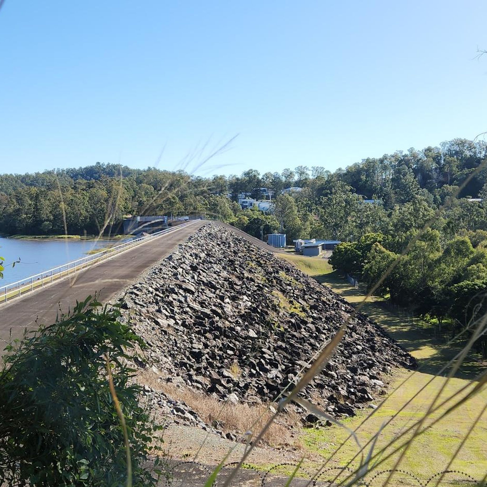
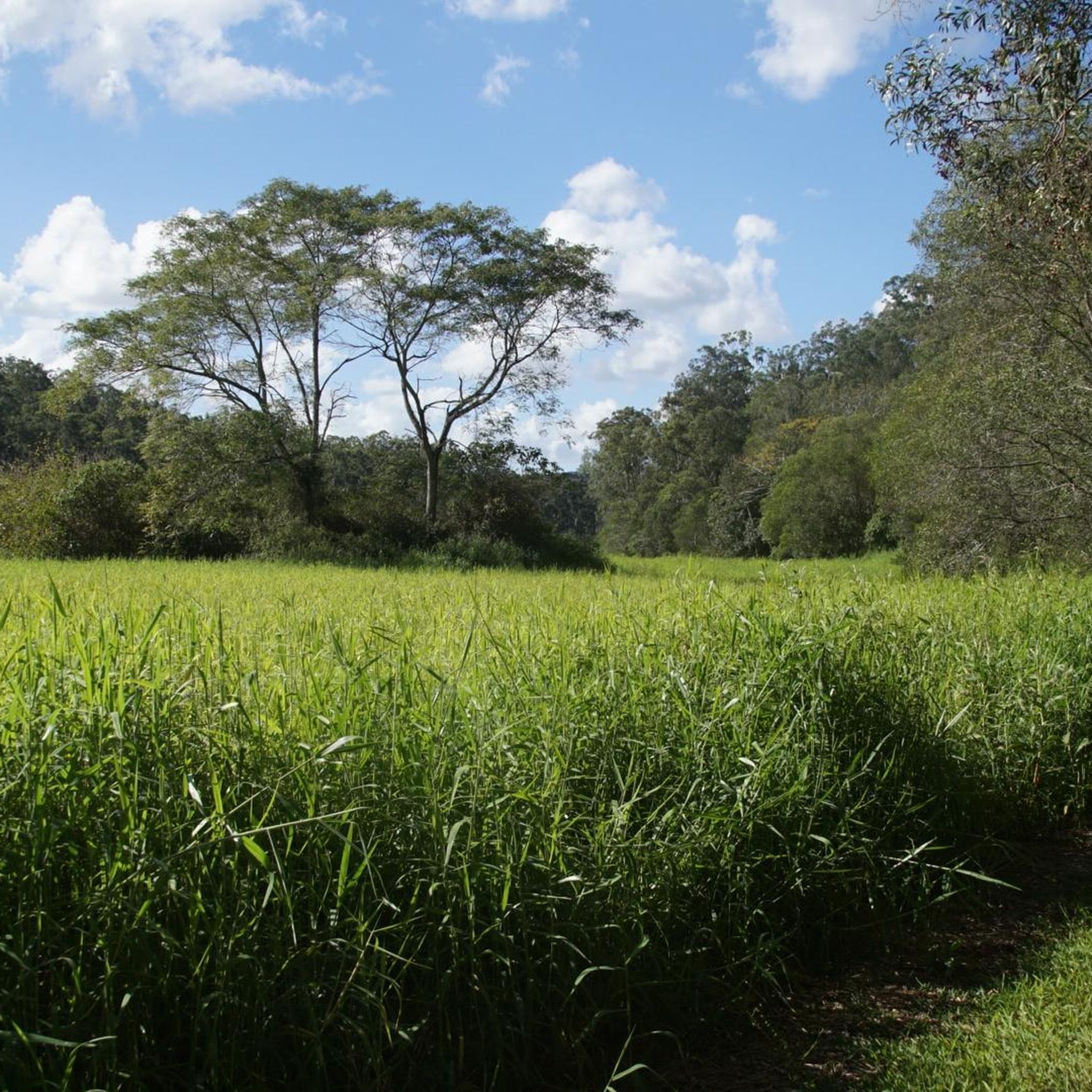
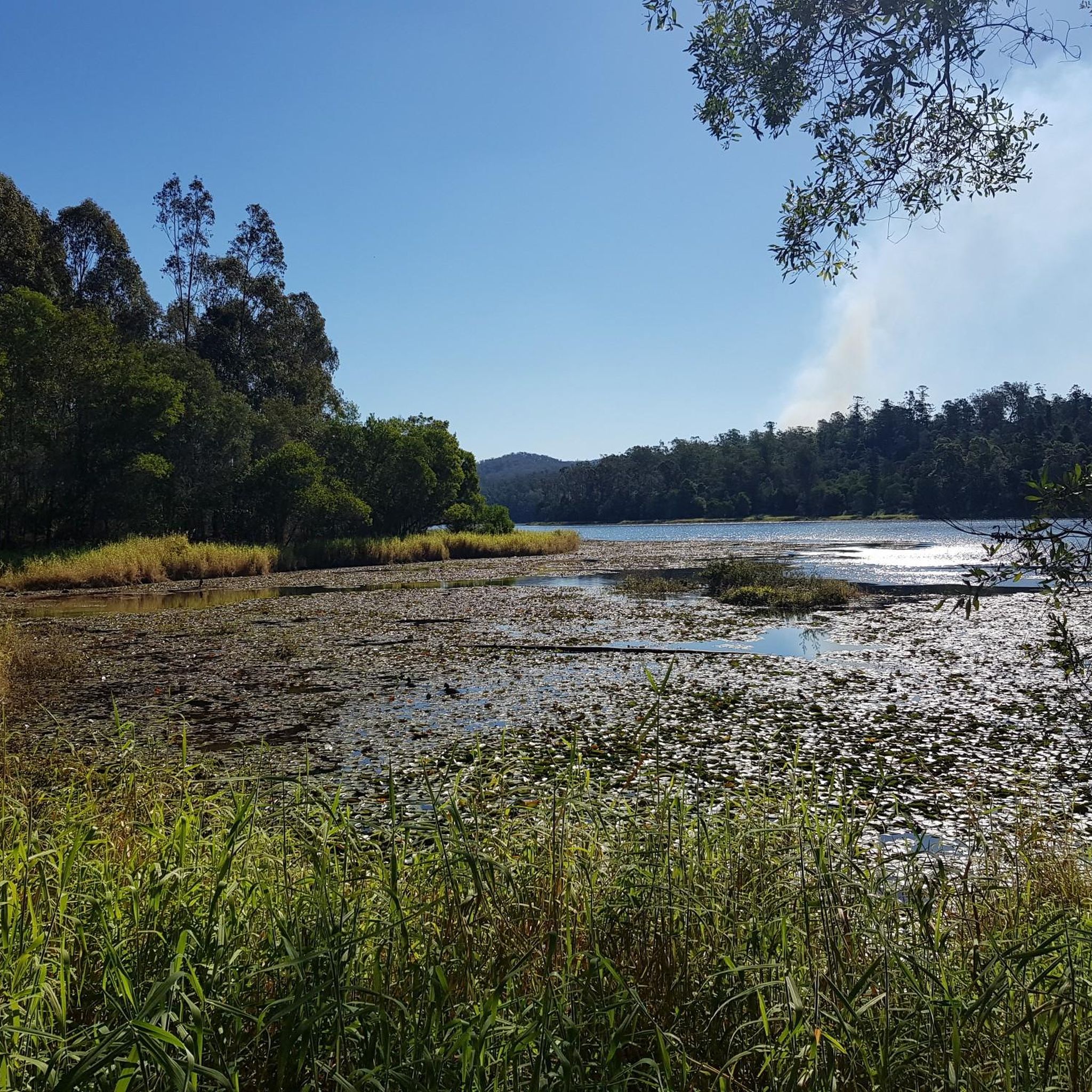
Tips from the Community

The Mount Coot-Tha Summit Lookout sits at an elevation of 287 meters above sea level and has breathtaking views across the Brisbane skyline to Moreton Bay. This large viewing platform sits just below the summit at 226 meters. There is a large car park here, access to bushwalking tracks, The Summit Restaurant & Bar, The Summit Café and well maintained public restrooms. This area is open all day every day with no admission fees, and is a great place to watch the sun set.
0
0

An old gold mine camp sits next to the picnic area, and you can walk around and check out the ruins and signs containing the storied history of ore extraction in these hills.
0
0

Eleanor Schonell Bridge, also known as the Green Bridge, spans the Brisbane River between Dutton Park and the University of Queensland’s St Lucia campus. Opened in 2006, it was the first in Australia designed exclusively for buses, cyclists and pedestrians, creating an important connection across the river without private vehicles.
0
0

Brisbane River runs through the city and surrounding suburbs, forming a wide, slow-moving waterway that shapes much of Brisbane’s landscape. In this section near Graceville, the river feels more suburban, with tree-lined banks and fewer built-up edges.
0
0
This sculpture references one of Australia’s most recognisable native birds, known for its loud territorial call that resembles human laughter. Set among the surrounding bushland, the artwork ties into the birdlife commonly found around Mount Coot-tha and wider Brisbane. The kookaburra has long been associated with the Australian bush, and large-scale kookaburra sculptures have become a recurring feature in Australian public art and roadside culture.
0
0
Mt Coot-tha Reserve is a large natural area on the western edge of Brisbane known for its bushland, scenic lookouts, and popular attractions, including the Brisbane Botanic Gardens and summit precinct. There is an extensive network of walking and cycling tracks in the reserve that wind through dry eucalypt forest and pockets of subtropical vegetation, connecting key areas across the mountain. With shaded bushland, abundant wildlife, and occasional views of the city, it offers plenty of options for outdoor recreation to immerse yourself in nature.
0
0

Jindalee's Centenary Bridge is currently undergoing renovations to increase it from four lanes to six. Improving pedestrian and cycle access the bridge is also being done. The project is expected to be completed in 2027.
0
0
Regatta ferry terminal is a CityCat stop on the Brisbane River, serving the Toowong area and nearby riverside precincts. The terminal provides easy river access to central Brisbane and other suburbs, linking commuters, visitors, and recreational users to the ferry network. Its position beside riverfront paths and parklands makes it a convenient connection point for walking and cycling along the river corridor.
0
0
Frequently Asked Questions
How many road cycling routes are available in Mt Coot-Tha Reserve?
Mt Coot-Tha Reserve offers a wide selection of road cycling routes, with over 120 options available. These routes cater to various skill levels, including easy, moderate, and challenging rides.
What is the typical difficulty level for road cycling in Mt Coot-Tha Reserve?
Road cycling in Mt Coot-Tha Reserve is known for its diverse terrain, including significant elevation changes. While there are 39 easy routes, the majority, 68 routes, are moderate, and 19 are considered difficult. The iconic Coot-tha Loop on Sir Samuel Griffith Drive, for instance, presents a notable uphill challenge, making it a popular training ground for local riders.
Are there challenging road cycling routes for experienced riders?
Yes, experienced riders will find challenging options in Mt Coot-Tha Reserve. The reserve features 19 difficult road cycling routes, often involving significant climbs like the 2.3-kilometer stretch on the Coot-tha Loop that ascends 200 meters. Routes like the Jindalee Route – Indooroopilly Bridge loop from Taringa also offer substantial elevation gain over longer distances.
What kind of views can I expect while road cycling in Mt Coot-Tha Reserve?
Road cycling routes in Mt Coot-Tha Reserve offer breathtaking panoramic views. From higher elevations, especially the Mount Coot-tha Lookout, you can enjoy magnificent vistas of the Brisbane city skyline, Moreton Bay, and on clear days, even the Sunshine Coast Hinterland or Border Ranges.
Are there any cafes or places to refuel along the road cycling routes?
Yes, there is a cafe conveniently located at the Mount Coot-tha Lookout, providing a perfect spot for refreshments and a break during your ride. Additionally, the reserve is easily accessible from Brisbane, meaning there are various options for food and drink in nearby suburbs.
What are some popular road cycling loops in the reserve?
A highly popular loop is the Roadbike loop from Mount Coot-tha, a 10.2 km trail known for its significant uphill challenge. Another favored option is the Mount Coot-tha Lookout loop from Taringa, which covers 20.4 km and includes the scenic climb to the lookout.
How can I reach Mt Coot-Tha Reserve by public transport for road cycling?
Mt Coot-Tha Reserve is readily accessible from Brisbane's CBD. Cyclists can reach the reserve via the Bicentennial Bikeway, which connects the city to the area. For specific public transport routes, it's advisable to check local transport schedules.
Where can I park when road cycling in Mt Coot-Tha Reserve?
Numerous parking options are available around Mt Coot-Tha Reserve. You can find parking areas near popular spots such as the Mount Coot-tha Lookout, the Brisbane Botanic Gardens Mt Coot-Tha, and various picnic areas like J.C. Slaughter Falls and Simpson Falls.
What do other road cyclists enjoy the most about road cycling in Mt Coot-Tha Reserve?
The area is highly rated by the komoot community, with an average score of 4.6 stars from over 140 reviews. Reviewers often praise the challenging climbs, the rewarding panoramic views of Brisbane and Moreton Bay, and the well-maintained sealed roads that wind through open eucalypt forest and rainforest gullies.
Are there any waterfalls or natural features to see along the road cycling routes?
While primarily focused on road cycling, the reserve is home to picturesque natural features. You can find serene spots like Simpson's Falls and JC Slaughter Falls, which are particularly beautiful after rainfall. The routes also traverse diverse landscapes of open eucalypt forest and rainforest gullies.
What wildlife might I encounter while cycling in Mt Coot-Tha Reserve?
Mt Coot-Tha Reserve is a vital wildlife corridor, home to a wide array of animals. While cycling, you might spot echidnas, koalas, gliders, possums, and numerous bird species, including rare owls. The reserve's extensive eucalypt forests and rainforest gullies provide a rich habitat for these creatures.
Are there any historical landmarks or points of interest near the cycling routes?
Yes, the reserve has historical points of interest. You can find the Abandoned Gold Mine, offering a glimpse into the area's past. Additionally, the Sir Thomas Brisbane Planetarium is located within the precinct, providing an engaging experience for those interested in astronomy.
Most popular routes in Mt Coot-Tha Reserve
Most popular attractions in Mt Coot-Tha Reserve

Get inspired with the komoot mobile app


Explore more
Browse the best Road cycling routes in other regions.
