The best gravel rides in Seal Bay Regional Nature Park
4.5
(2)
37
riders
5
rides
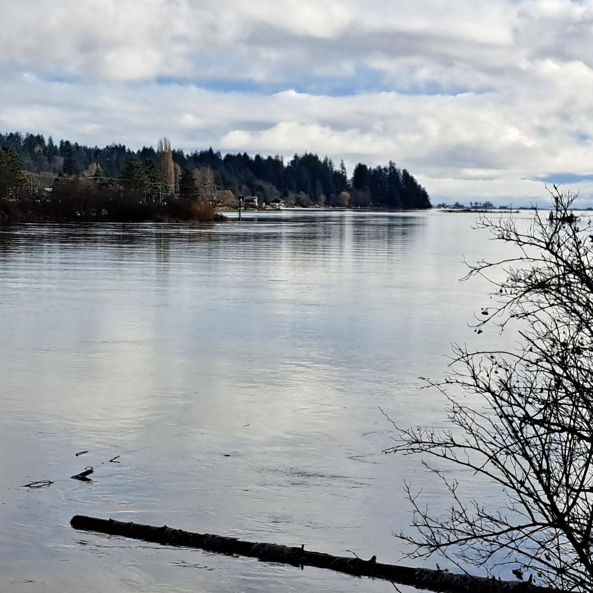
Gravel biking in Seal Bay Regional Nature Park features a network of trails characterized by varied terrain and elevation changes. The region offers routes that traverse forested areas and may include sections near the bay, providing diverse riding experiences. Trails often follow established paths and can include both moderate and more challenging ascents. The landscape supports gravel biking with routes that cater to different skill levels.
Best gravel bike trails in Seal Bay Regional Nature Park
- The most popular gravel bike trail is Cumberland Brewing Co. – Cumberland Community Forest loop from Courtenay, a 29.2 miles (47.0 km) trail that takes 2 hours 59 minutes to complete, navigating through varied forest environments.
- Another top favourite among local gravel bikers is One Spot Trailhead – Medicine Bowls Trail loop from Courtenay, a difficult 24.6 miles (39.6 km) path. This route features significant elevation gain, offering a challenging ride through natural landscapes.
- Local gravel bikers also love the One Spot Trailhead – Courtenay Airpark loop from Courtenay, a 15.1 miles (24.3 km) trail leading through established trail networks and potentially coastal areas, often completed in about 1 hour 59 minutes.
- Gravel biking in Seal Bay Regional Nature Park is defined by forested trails, varied elevation profiles, and established path networks. The routes offer options for both moderate and difficult ability levels.
- The routes in Seal Bay Regional Nature Park are highly rated by the komoot community with an average score of 4.5 stars from over 2 reviews. More than 30 gravel bikers have used komoot to explore Seal Bay Regional Nature Park's varied terrain.
Last updated: July 3, 2026
4.0
(1)
16
riders
46.8km
02:57
400m
400m
Hard gravel ride. Good fitness required. You may need to push your bike for some segments of this route.
3
riders
39.3km
02:49
680m
680m
Hard gravel ride. Very good fitness required. Mostly paved surfaces. Suitable for all skill levels.

Sign up for free
5.0
(1)
6
riders
24.2km
01:34
180m
180m
Moderate gravel ride. Good fitness required. Mostly paved surfaces. Suitable for all skill levels.
7
riders
86.9km
06:31
1,000m
1,000m
Hard gravel ride. Very good fitness required. Mostly paved surfaces. Suitable for all skill levels.
5
riders
52.4km
03:50
530m
530m
Hard gravel ride. Very good fitness required. Mostly paved surfaces. Suitable for all skill levels.
Our route recommendations are based on thousands of hikes, rides, and runs completed by other people on komoot.
Start today with a free account
Your next adventure awaits.
Login or Signup
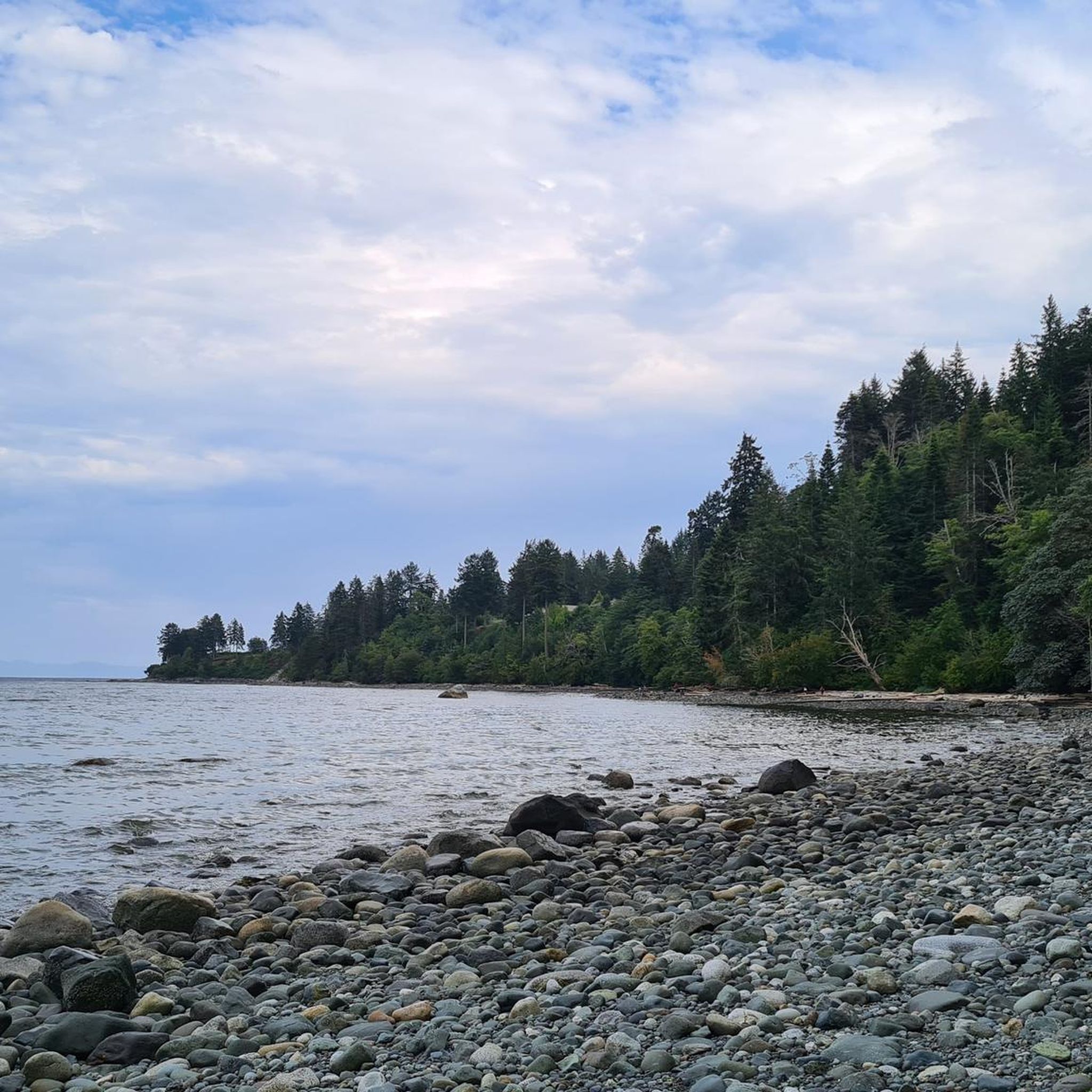
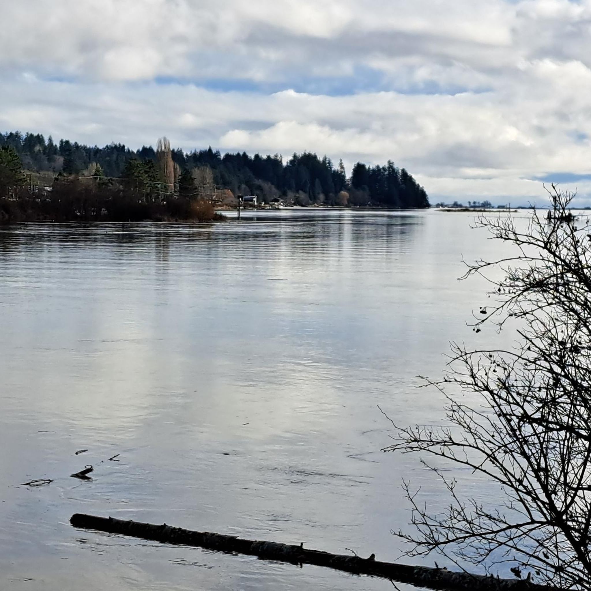
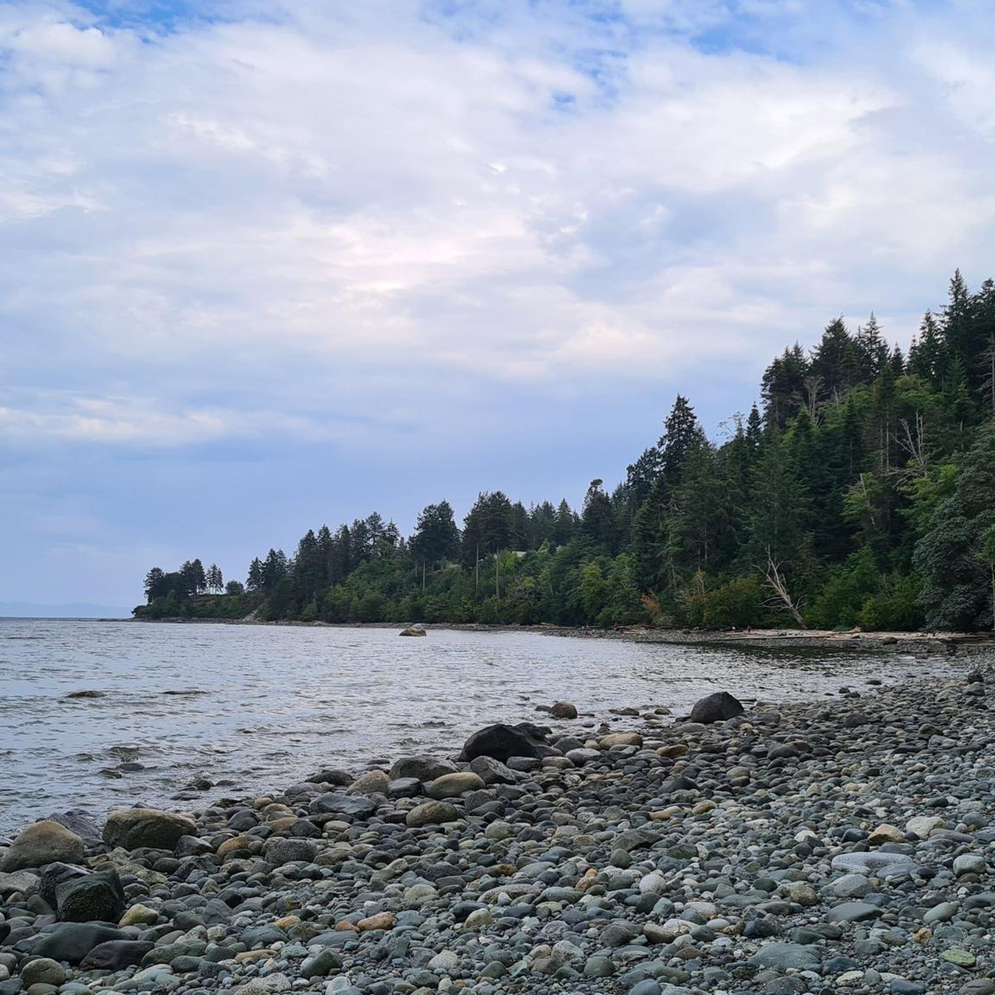
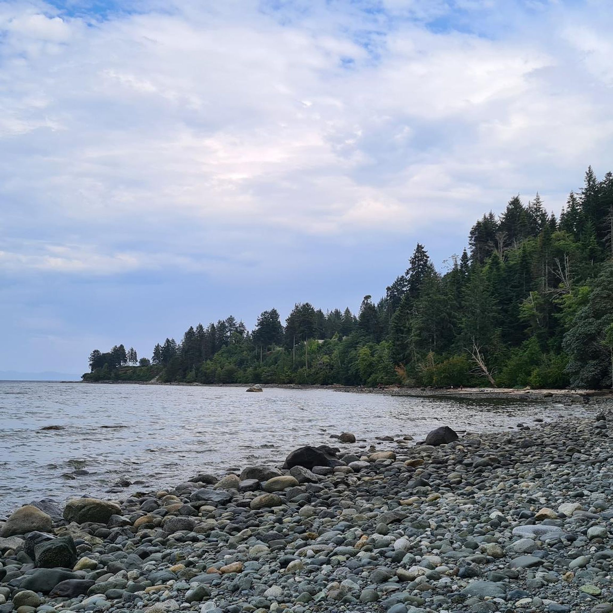
Tips from the Community

The Hazy Pale and the IPA are among the best on the island
0
0
This is an active logging road...be aware, listen, and be prepared for a lot of dust if it's the dry season
0
0

The Puntledge River Trail is a fantastic way to explore the banks of the Puntledge River and Bevan City ruins. This area has bears, so be bear aware, and don't leave food in parked cars. The trail itself is really flat and well-maintained and passes through tall second growth forests with wonderful river viewpoints and a few swimming holes along the way.
0
0
The Puntledge River flows 48 kilometres from Comox Lake until reaching the Strait of Georgia. This river is teeming with life, with massive salmon runs as well as great swimming, tubing and hiking opportunities. Be careful when taking a dip as many areas have strong currents, so choose designated swimming holes in calm parts of the river.
0
0

There are a bunch of seaplanes and other small aircraft that are usually parked along the fence opposite the Riverway Path. You can check them out as you pass by.
0
0
This path takes you through Courtenay's urban area, partially sheltered on either side by strips of greenery, between downtown and the riverfront. You share the path with cyclists, but the trail is paved and divided to ease multi-use traffic.
0
0

You can also grab a coffee and take it down to one of the picnic tables along Marine Drive. A great place to look across towards Comox Marina and Goosespit.
0
0

Cool little airport that has some interesting aircraft to check out.
0
0
Frequently Asked Questions
What is the overall difficulty level of gravel biking in Seal Bay Regional Nature Park?
Gravel biking in Seal Bay Regional Nature Park primarily features routes of moderate to difficult ability levels. While there are no routes specifically categorized as 'easy,' the One Spot Trailhead – Courtenay Airpark loop from Courtenay is rated as moderate, offering a less strenuous option compared to others.
Are there any beginner-friendly gravel bike trails in Seal Bay Regional Nature Park?
The routes in Seal Bay Regional Nature Park are generally rated as moderate to difficult. There are no trails specifically designated as 'easy' within the park's gravel biking offerings. However, the One Spot Trailhead – Courtenay Airpark loop from Courtenay is a moderate 15.1-mile (24.3 km) trail that might be suitable for riders looking for a less challenging experience.
What are some of the more challenging gravel bike routes in Seal Bay Regional Nature Park?
For experienced gravel bikers seeking a challenge, Seal Bay Regional Nature Park offers several difficult routes. The Duncan Bay Mainline – One Spot Trailhead loop from Courtenay is the longest at 53.9 miles (86.8 km) with over 1000 meters of elevation gain. Other difficult options include the One Spot Trailhead – Medicine Bowls Trail loop from Courtenay and the Cumberland Brewing Co. – Cumberland Community Forest loop from Courtenay.
What is the typical length of gravel bike trails in Seal Bay Regional Nature Park?
Gravel bike trails in Seal Bay Regional Nature Park vary significantly in length. You can find routes ranging from approximately 15 miles (24 km) up to over 50 miles (80 km). For instance, the One Spot Trailhead – Courtenay Airpark loop from Courtenay is 15.1 miles (24.3 km), while the Duncan Bay Mainline – One Spot Trailhead loop from Courtenay extends to 53.9 miles (86.8 km).
Where can I park when gravel biking in Seal Bay Regional Nature Park?
Many routes in Seal Bay Regional Nature Park originate from specific trailheads or notable locations. For example, several popular loops, such as the One Spot Trailhead – Medicine Bowls Trail loop from Courtenay, indicate 'One Spot Trailhead' as a starting point, suggesting it's a common access and parking area. Similarly, the 'Courtenay Airpark' is mentioned as a starting point for other routes, likely offering parking facilities.
Are there family-friendly gravel biking options in Seal Bay Regional Nature Park?
Given that most gravel bike routes in Seal Bay Regional Nature Park are rated as moderate to difficult, truly 'family-friendly' options for younger children or novice riders might be limited. The trails often feature varied terrain and significant elevation changes. It's recommended to review the specific route details, especially for the One Spot Trailhead – Courtenay Airpark loop from Courtenay (rated moderate), to determine suitability for your family's skill level.
When is the best time of year for gravel biking in Seal Bay Regional Nature Park?
While specific data for Seal Bay Regional Nature Park is not provided, gravel biking is generally best enjoyed in spring, summer, and fall when trails are typically drier and weather conditions are more stable. These seasons offer pleasant temperatures and optimal trail surfaces for riding through forested areas and along varied terrain.
How do gravel trails in Seal Bay Regional Nature Park handle wet weather?
The guide mentions that trails in Seal Bay Regional Nature Park traverse forested areas and follow established paths. In general, well-maintained gravel paths tend to handle light rain better than natural dirt trails, but heavy or prolonged wet weather can lead to muddy sections, especially in forested areas. It's always advisable to check local weather conditions and recent trail reports before heading out after significant rainfall.
Are there any loop trails for gravel biking in Seal Bay Regional Nature Park?
Yes, Seal Bay Regional Nature Park features several excellent loop trails for gravel biking. Examples include the Cumberland Brewing Co. – Cumberland Community Forest loop from Courtenay, the One Spot Trailhead – Medicine Bowls Trail loop from Courtenay, and the One Spot Trailhead – Courtenay Airpark loop from Courtenay. These loops offer diverse riding experiences without needing to retrace your path.
What do other gravel bikers enjoy the most about gravel biking in Seal Bay Regional Nature Park?
The area is highly rated by the komoot community, with an average score of 4.5 stars from over 2 reviews. Reviewers often praise the varied terrain, the experience of navigating through forested environments, and the established path networks that define the gravel biking experience in Seal Bay Regional Nature Park.
How many gravel bike trails are available in Seal Bay Regional Nature Park?
There are 5 distinct gravel bike routes detailed for Seal Bay Regional Nature Park, offering a range of distances and difficulty levels for riders to explore.
Can I find routes that combine forest riding with coastal views in Seal Bay Regional Nature Park?
Yes, some routes in Seal Bay Regional Nature Park offer a mix of forested trails and potentially coastal areas. For instance, the One Spot Trailhead – Courtenay Airpark loop from Courtenay is noted for leading through established trail networks and potentially coastal sections, providing diverse scenery during your ride.
Most popular routes in Seal Bay Regional Nature Park

Get inspired with the komoot mobile app


Explore more
Browse the best Gravel rides in other regions.
