The best cycling routes in Seal Bay Regional Nature Park
4.9
(11)
205
riders
24
rides
Touring cycling in Seal Bay Regional Nature Park offers an extensive network of routes through diverse landscapes. The park features lush woodlands, tranquil wetlands, and scenic coastal areas, including nearly one kilometer of rocky beachfront along Seal Bay. Cyclists can navigate through second-growth forests with Douglas fir and red alder, encountering undulating terrain and fern-laden ravines. The area provides a variety of trails suitable for different skill levels, from firm gravel paths to unpaved segments with elevation changes.
Best touring cycling routes in Seal Bay Regional Nature Park
- The most popular touring cycling route is Cumberland Brewing Co. – Courtenay Airpark loop from Mission Road at Shetland Place (WB), a 29.0 miles (46.6 km) trail that takes 3 hours 18 minutes to complete, offering a challenging ride through varied terrain.
- Another top favourite among local touring cyclists is Ace Brewing Company – Courtenay Airpark loop from Courtenay, a difficult 32.9 miles (52.9 km) path that explores the region's diverse ecosystems.
- Local touring cyclists also love the Cumberland Brewing Co. – Courtenay Airpark loop from Courtenay, a 18.9 miles (30.4 km) trail leading through second-growth forests and coastal areas, often completed in about 2 hours 2 minutes.
- Touring cycling in Seal Bay Regional Nature Park is defined by lush woodlands, tranquil wetlands, and scenic coastal areas. The network offers options for different ability levels, from easy routes to more challenging paths with significant elevation changes.
- The routes in Seal Bay Regional Nature Park are highly rated by the komoot community with an average score of 4.9 stars from more than 5 reviews. More than 200 touring cyclists have used komoot to explore Seal Bay Regional Nature Park's varied terrain.
Last updated: September 1, 2026
5.0
(1)
7
riders
Hard bike ride. Good fitness required. You may need to push your bike for some segments of this route.
15
riders
53.1km
03:13
260m
260m
Moderate bike ride. Good fitness required. Mostly paved surfaces. Suitable for all skill levels.

Sign up for free
9
riders
Moderate bike ride. Good fitness required. Mostly paved surfaces. Suitable for all skill levels.
7
riders
30.5km
02:05
250m
250m
Moderate bike ride. Good fitness required. Mostly paved surfaces. Suitable for all skill levels.
5.0
(1)
9
riders
23.1km
01:25
220m
220m
Moderate bike ride. Good fitness required. Mostly paved surfaces. Suitable for all skill levels.
Get access to more routes and recommendations from other explorers.
Sign up for free
Already have an account?
Our route recommendations are based on thousands of hikes, rides, and runs completed by other people on komoot.
Start today with a free account
Your next adventure awaits.
Login or Signup
Tips from the Community

Wildwood Interpretive Forest is a popular natural area located near Courtenay in the Comox Valley. Covering approximately 276 hectares (682 acres), the forest features an extensive network of well-maintained multi-use trails that provide opportunities for hiking, trail running, mountain biking, and nature appreciation. Surrounded by the beauty of Vancouver Island’s coastal landscape, the forest offers visitors a peaceful setting for outdoor recreation and exploration.
0
0
This vintage British Columbia legal survey monument, located within the Wildwood Interpretive Forest, is a fascinating reminder of the province’s rich history of land measurement, mapping, and resource management. Constructed from durable materials such as metal or concrete, these markers were designed to withstand the elements and remain identifiable for generations.
0
0

You can park on Piercy Road across from the yellow gate under the power lines, by the K'omos Treat Lands sign. From here, walk past the yellow gate and follow the powerline trail for a short ways to reach the turnoff for the falls.
0
0

The Hazy Pale and the IPA are among the best on the island
0
0
There are a bunch of seaplanes and other small aircraft that are usually parked along the fence opposite the Riverway Path. You can check them out as you pass by.
0
0
This path takes you through Courtenay's urban area, partially sheltered on either side by strips of greenery, between downtown and the riverfront. You share the path with cyclists, but the trail is paved and divided to ease multi-use traffic.
0
0
Totem poles by the K’ómoks First Nation have been installed in Courtenay over the past decade to bring greater recognition to indigenous culture. This one overlooks the salt marsh and the banks of the Courtenay River.
0
0

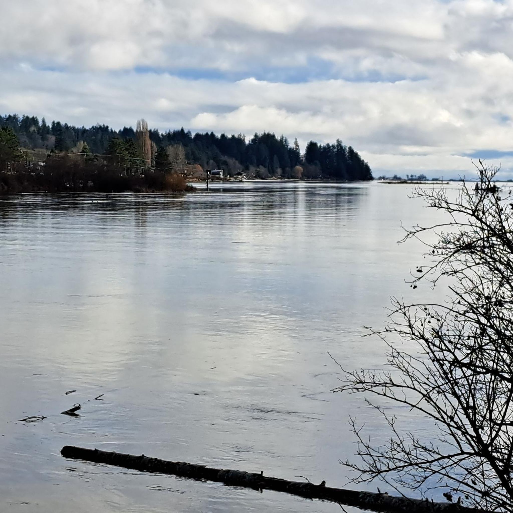
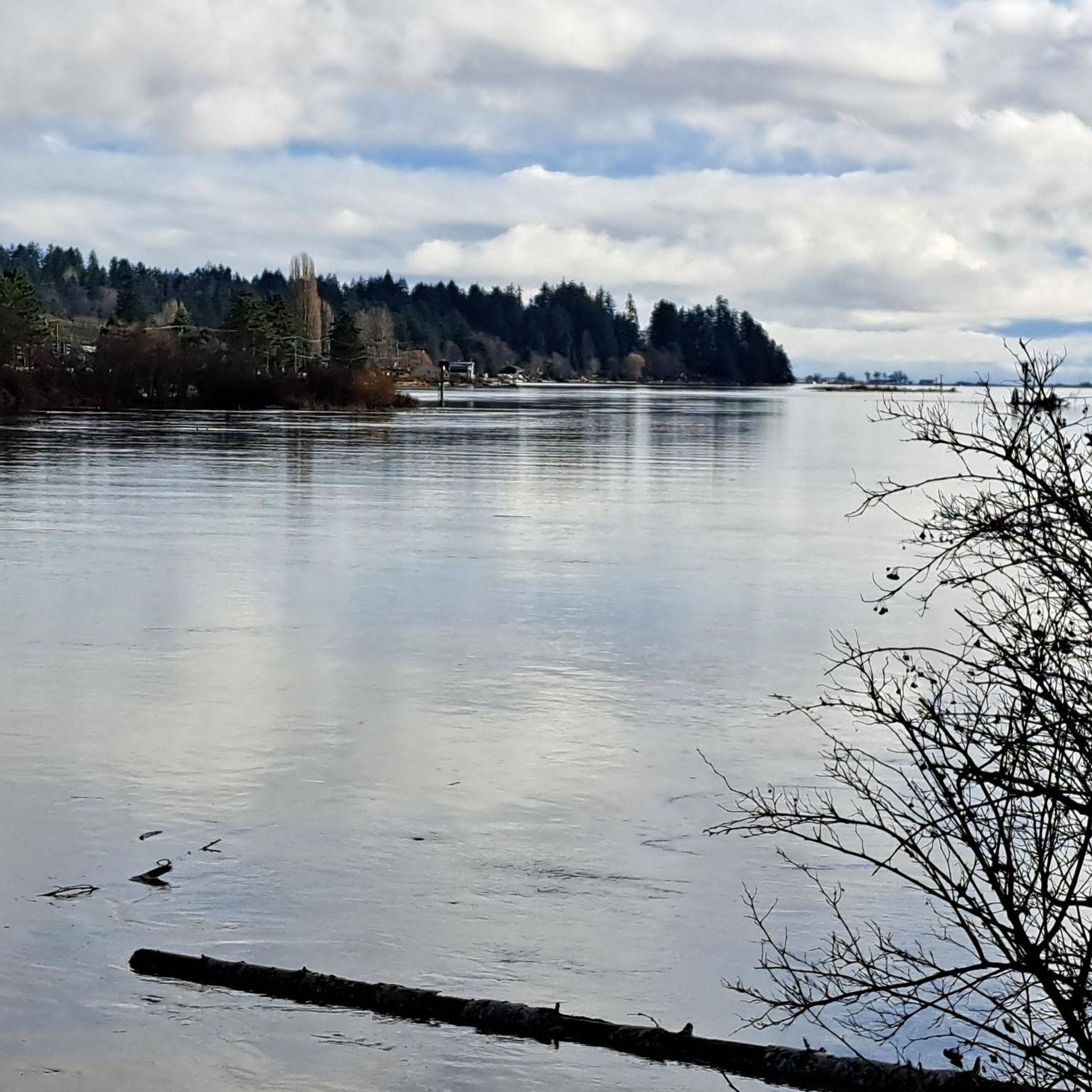
Comox Harbour is a sheltered inlet on the east coast of Vancouver Island, opening into the Strait of Georgia. The water is generally calm, shaped by tides that expose mudflats and sandbars along the shoreline. Backed by distant mountains and coastal communities, it forms a wide, open marine landscape that changes noticeably throughout the day.
0
0
Frequently Asked Questions
How many touring cycling routes are available in Seal Bay Regional Nature Park?
There are over 25 touring cycling routes available in Seal Bay Regional Nature Park on komoot, offering a wide range of experiences for different skill levels.
What kind of terrain can I expect on touring cycling routes in Seal Bay Regional Nature Park?
The park offers diverse terrain, from firm gravel surfaces on multi-use trails like the Horse-Bike Loop to unpaved segments with roots and rocks. You'll cycle through lush second-growth forests, tranquil wetlands, and along scenic coastal areas, often encountering undulating terrain.
Are there any easy touring cycling routes suitable for beginners or families?
Yes, Seal Bay Regional Nature Park caters to all cycling proficiencies. You can find easy routes on mostly paved surfaces with minimal elevation gain, suitable for rides up to 2 hours. The Horse-Bike Loop, with its firm gravel surface, is also considered accessible for a wide range of riders, including families, though a basic hardtail bike is recommended for some roots and rocks.
What are some notable natural features or viewpoints I can see along the routes?
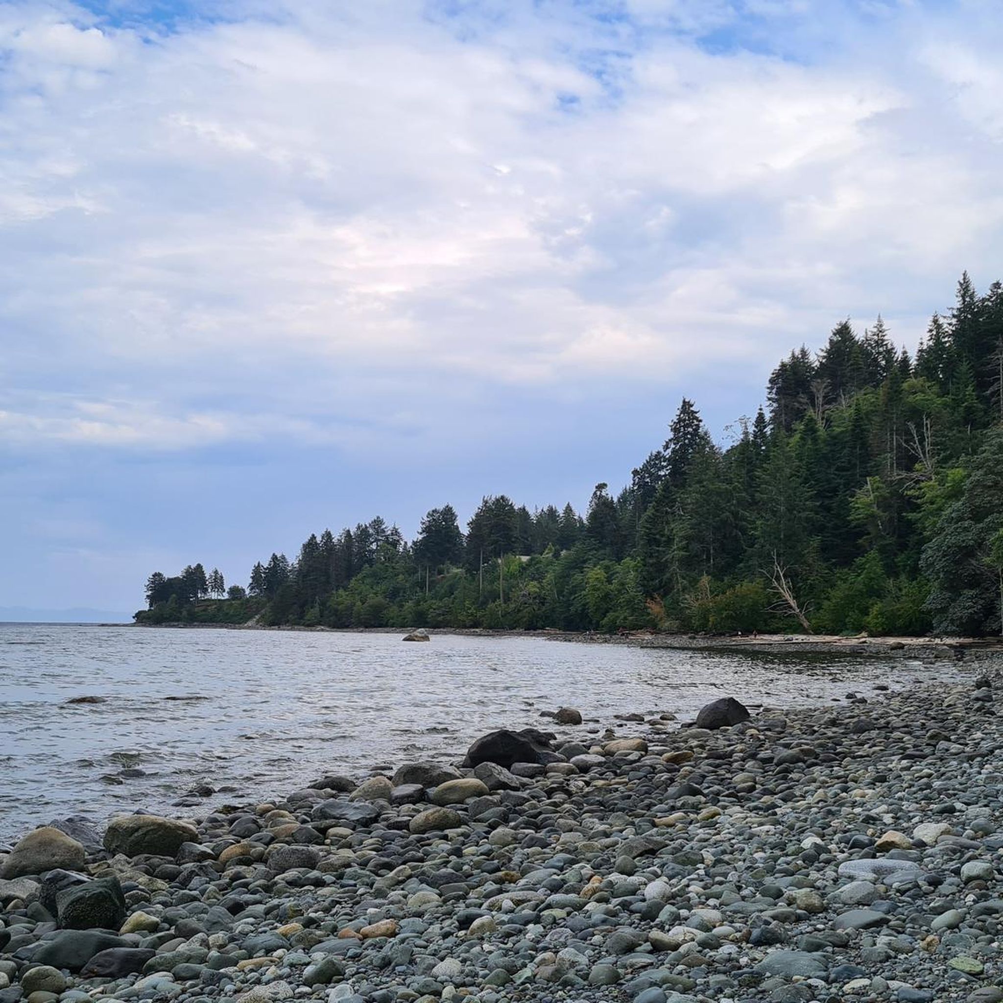
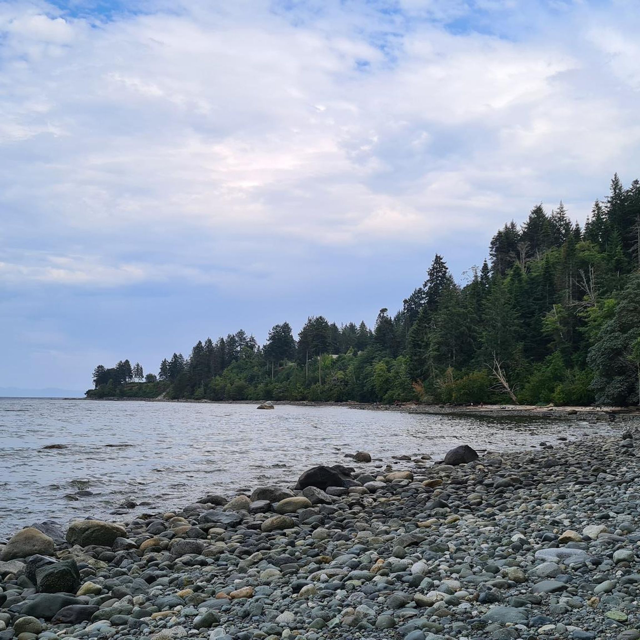
Cyclists can enjoy picturesque rides through open forests with sword fern understory. A significant attraction is the nearly one kilometer of rocky beachfront along Seal Bay, where harbor seals are frequently observed. The Seal Bay Lookout offers sweeping panoramic views of the Strait of Georgia. Wetland areas like Melda's Marsh are also vital habitats for diverse bird species.
What wildlife might I spot while cycling in Seal Bay Regional Nature Park?
The park is rich in wildlife. Beyond marine life like harbor seals and occasional whales along the coast, you might spot terrestrial animals such as deer, eagles, owls, ducks, squirrels, beavers, bears, and pine martens, making it a great spot for wildlife viewing.
Are there any challenging touring cycling routes for experienced riders?
Yes, the park offers more challenging, unpaved segments with significant elevation changes that require good to very good fitness, suitable for rides lasting 5 hours or more. Routes like Cumberland Brewing Co. – Courtenay Airpark loop from Mission Road at Shetland Place (WB) are rated as difficult, providing a demanding experience through varied terrain.
Are there any circular touring cycling routes in the park?
Yes, many routes in the park are designed as loops. The Horse-Bike Loop is a popular outer loop available in 7 km and 10 km variations. Additionally, routes such as Ace Brewing Company – Courtenay Airpark loop from Courtenay and Cumberland Brewing Co. – Cumberland Village Bakery loop from Courtenay offer circular paths exploring the region.
What is the best time of year to go touring cycling in Seal Bay Regional Nature Park?
While the park is accessible year-round, the spring and fall often offer pleasant temperatures and vibrant natural scenery, making them ideal for touring cycling. Summer is also popular, but be prepared for warmer weather. Always check local conditions before your ride.
Are there any cafes or places to stop for refreshments near the cycling routes?
Some routes extend to include local attractions like the Courtenay Airpark and local breweries, providing opportunities for refreshments. For example, the Cumberland Brewing Co. – Courtenay Airpark loop from Courtenay integrates stops at local establishments.
What do other touring cyclists enjoy most about Seal Bay Regional Nature Park?
The area is highly rated by the komoot community, with an average score of 4.9 stars. Reviewers often praise the diverse landscapes, from lush woodlands to scenic coastal areas, and the extensive network of trails that cater to various skill levels. The opportunity to spot wildlife and enjoy panoramic views is also frequently highlighted.
Is Seal Bay Regional Nature Park suitable for family cycling trips?
Absolutely. The park offers trails suitable for families, particularly the Horse-Bike Loop which features a firm gravel surface and is considered accessible for a wide range of riders. There are also easy routes with minimal elevation gain, perfect for a relaxed family outing.
Where can I park my car when visiting Seal Bay Regional Nature Park for cycling?
The park has various access points, and parking facilities are generally available. It's advisable to check specific trailheads or park entrances for designated parking areas suitable for accessing the cycling routes.
Most popular routes in Seal Bay Regional Nature Park
Most popular attractions in Seal Bay Regional Nature Park

Get inspired with the komoot mobile app


Explore more
Browse the best Cycling routes in other regions.
