The best gravel rides in Perlacher Forst
4.4
(4227)
22,742
riders
269
rides
Gravel biking in Perlacher Forst offers a versatile network of trails within a sprawling forest area southeast of Munich. The region is characterized by dense woodland, a mix of paved and unpaved surfaces, and wide gravel forest paths. The natural "Perlach gravel tongue" contributes to the prevalence of gravel, providing characteristic surfaces for gravel bikers. A notable feature is the Perlacher Mugl, a 85-foot (26-meter) lookout hill offering views of the surrounding forest.
Best gravel bike trails in Perlacher Forst
…Last updated: October 1, 2026
4.7
(31)
284
riders
46.7km
02:42
390m
390m
Moderate gravel ride. Good fitness required. Mostly paved surfaces. Suitable for all skill levels.
4.5
(2)
23
riders
52.7km
02:54
420m
420m
Moderate gravel ride. Good fitness required. Mostly paved surfaces. Suitable for all skill levels.

4.6
(176)
1,151
riders
85.3km
05:50
210m
210m
Hard gravel ride. Very good fitness required. Mostly paved surfaces. Suitable for all skill levels.
4.0
(1)
7
riders
134km
09:51
1,250m
1,250m
Hard gravel ride. Very good fitness required. Some segments of this route may be unpaved and difficult to ride.
4.7
(44)
255
riders
Moderate gravel ride. Good fitness required. Mostly paved surfaces. Suitable for all skill levels.
Get access to more routes and recommendations from other explorers.
Already have an account?
Our route recommendations are based on thousands of hikes, rides, and runs completed by other people on komoot.
Start today with a free account
Your next adventure awaits.

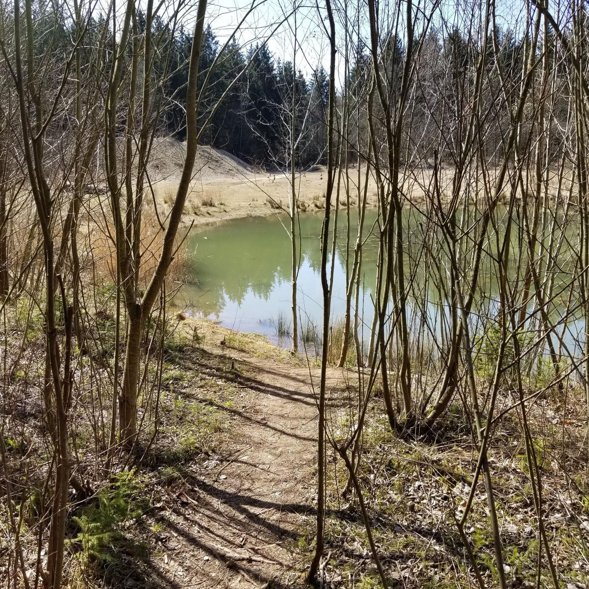
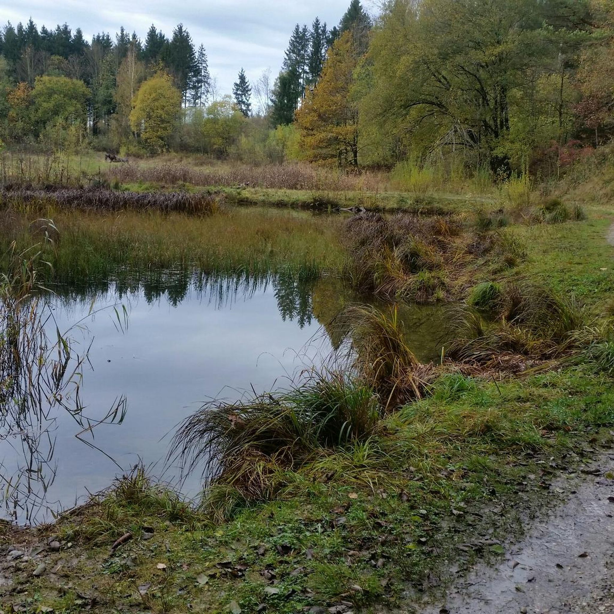


Tips from the Community

Scenically simply enchanting. Always try to make a detour to the Würm when heading towards Pasing.
0
0

This is kind of technical terrain, that goes up and down on cobble stones. If you don't have experience or wider tires, you will hate your life and push your bike. I would say please attempt this only with an MTB, and don't go after it rained. All the mud will make everything harder..
0
0

great view from the bridge over the Isar
1
0

As is the case almost everywhere along the Würm, it is very beautiful here too.
0
0

Looking down from above at the vastness of the Isar is always a spectacle that one should take time to enjoy.
3
0

Looking up from the Isar - it's already imposing. Below for pedestrians and above for rail traffic.
7
0

Very nice cycle path, take it, it's always a pedestrian path, it partly runs along the Würm, it goes there flat
1
0

Beautiful cycle path along the Würm river
1
0
Frequently Asked Questions
How many gravel bike trails are available in Perlacher Forst?
Perlacher Forst offers a vast network of over 600 gravel bike trails. These routes cater to various skill levels, with approximately 110 easy, 290 moderate, and 200 difficult options to explore.
What kind of terrain can I expect on the gravel bike trails in Perlacher Forst?
The trails in Perlacher Forst feature a diverse mix of surfaces. You'll find wide gravel forest paths, sections with natural forest floor that can sometimes be 'over roots and stones,' and some paved segments. This variety, influenced by the natural 'Perlach gravel tongue,' provides a dynamic riding experience suitable for gravel biking.
Are there any family-friendly gravel biking routes in Perlacher Forst?
Yes, Perlacher Forst has numerous routes suitable for families. Many of the easy and moderate trails offer pleasant riding on mostly paved surfaces or well-maintained gravel paths. For example, the Forest Cycle Path Near Munich – Perlacher Forst Bike Path loop from Furth is a moderate 18.9-mile (30.5 km) path that provides easy riding on mostly paved surfaces with some natural forest floor sections, making it a good option for families.
What are some notable landmarks or viewpoints along the gravel bike trails?
A prominent landmark is the Perlacher Mugl, a 26-meter lookout hill that offers expansive views of the surrounding forest. You can also find the historic Hirschbrunnen and Overflow Pond, a natural monument, and the Viecherl Tower. The 300-year-old oak is another natural monument worth seeing.
Are there any circular gravel biking routes available in Perlacher Forst?
Yes, many of the gravel biking routes in Perlacher Forst are designed as loops, allowing you to start and end at the same point. A popular option is the Perlacher Forst Bike Path – Forest Cycle Path Near Munich loop from Mangfallplatz, a moderate 28.9-mile (46.6 km) trail featuring a mix of paved and unpaved forest paths.
Where can I park my car when visiting Perlacher Forst for gravel biking?
While specific parking spots aren't detailed, Perlacher Forst is highly accessible from Munich. Entrances to the forest typically have designated parking areas. The Giesinger Waldhauses also serves as a convenient starting point for various routes and likely offers parking facilities nearby.
How can I reach Perlacher Forst using public transport?
Perlacher Forst is well-connected to Munich by public transport, making it easily accessible for cyclists. You can reach various entry points to the forest via bus or S-Bahn, often allowing you to start your ride directly from a station or a short distance away.
Are there places to eat or drink near the gravel bike trails?
Yes, there are options for refreshments. The Giesinger Waldhauses is a well-known spot that serves as a starting point and offers a drinking water station. You can also find the Kugler Alm, a restaurant, and an Underpass at Nußbaum Ranch which includes a cafe, providing convenient stops during or after your ride.
What is the best time of year for gravel biking in Perlacher Forst?
Perlacher Forst is enjoyable for gravel biking throughout much of the year. Spring and autumn offer pleasant temperatures and beautiful scenery. Summer is also great, with the forest providing shade. While winter biking is possible, conditions can vary, with potential for snow or ice on trails.
What are the conditions like for winter gravel biking in Perlacher Forst?
Winter gravel biking in Perlacher Forst is possible, but trail conditions can be variable. Expect potential for snow, ice, or muddy sections, especially on natural forest floor paths. It's advisable to check local weather and trail reports before heading out and to equip your bike appropriately for winter conditions.
What do other gravel bikers say about their experience in Perlacher Forst?
The area is highly rated by the komoot community, with an average score of 4.5 stars from over 4800 reviews. Reviewers often praise the diverse network of trails, the tranquil forest environment, and the accessibility from Munich, highlighting it as an excellent destination for varied gravel biking experiences.
Are there any challenging routes for experienced gravel bikers?
Absolutely. While many routes are moderate, Perlacher Forst also offers more challenging options for experienced riders. For instance, the Col de Leutstetten loop from Mangfallplatz is a difficult 32.4-mile (52.1 km) trail that includes unpaved segments and varied terrain, presenting a greater challenge that often takes around 3 hours 37 minutes to complete.
Are permits required for gravel biking in Perlacher Forst?
There is no information indicating that special permits are required for gravel biking within Perlacher Forst. It is generally open for public recreational use. However, always respect local regulations and signage regarding trail access and environmental protection.
Most popular routes in Perlacher Forst
Most popular attractions in Perlacher Forst

Get inspired with the komoot mobile app


Explore more
Browse the best Gravel rides in other regions.
