The best MTB trails in Perlacher Forst
4.4
(4403)
22,374
riders
832
rides
Mountain biking in Perlacher Forst offers a diverse network of routes within a large forest area on the outskirts of Munich. The terrain features dense woodlands, a mix of well-developed trails including paved sections, gravel paths, and dirt tracks, and paths along the Isar River. Elevations are generally gentle, with the highest point being the Perlacher Mugl, an observation hill under 200m. This natural landscape provides varied conditions suitable for different mountain biking skill levels.
Best mountain bike trails in…
Last updated: October 10, 2026
2.8
(43)
119
riders
44.6km
02:44
380m
380m
Moderate mountain bike ride. Good fitness required. Suitable for all skill levels.
4.4
(21)
66
riders
23.2km
01:33
140m
140m
Easy mountain bike ride. Great for any fitness level. Suitable for all skill levels.

4.7
(13)
32
riders
36.4km
02:39
290m
290m
Moderate mountain bike ride. Good fitness required. Advanced riding skills necessary.
4.5
(15)
84
riders
Hard mountain bike ride. Good fitness required. Advanced riding skills necessary. Some portions of the route may require you to push your bike.
2.9
(38)
28
riders
49.6km
02:55
360m
360m
Moderate mountain bike ride. Good fitness required. Suitable for all skill levels.
Get access to more routes and recommendations from other explorers.
Already have an account?
Our route recommendations are based on thousands of hikes, rides, and runs completed by other people on komoot.
Start today with a free account
Your next adventure awaits.



Tips from the Community


Here you can even practice some scrambling; bouldering is not so pleasant because of the mud.
0
0
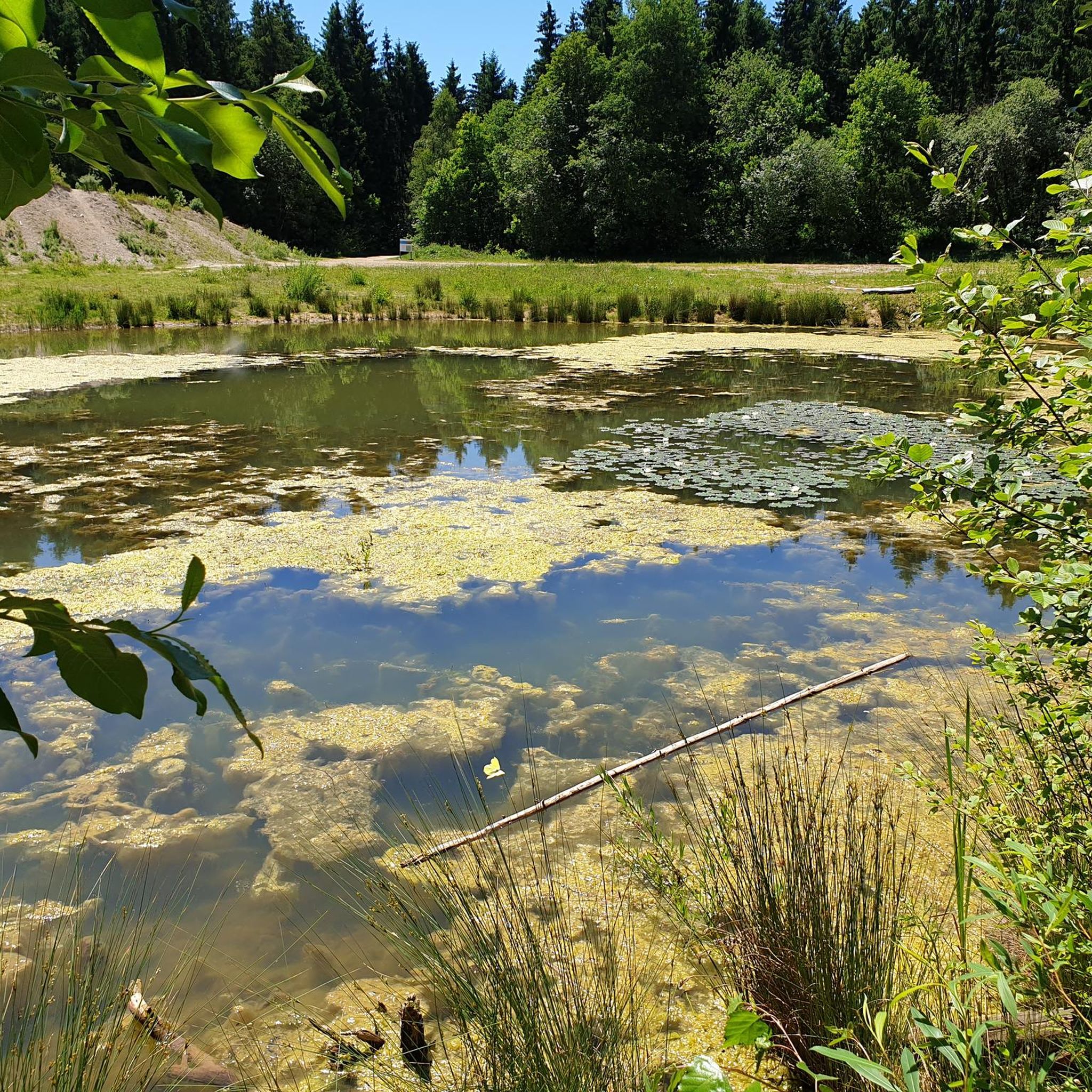
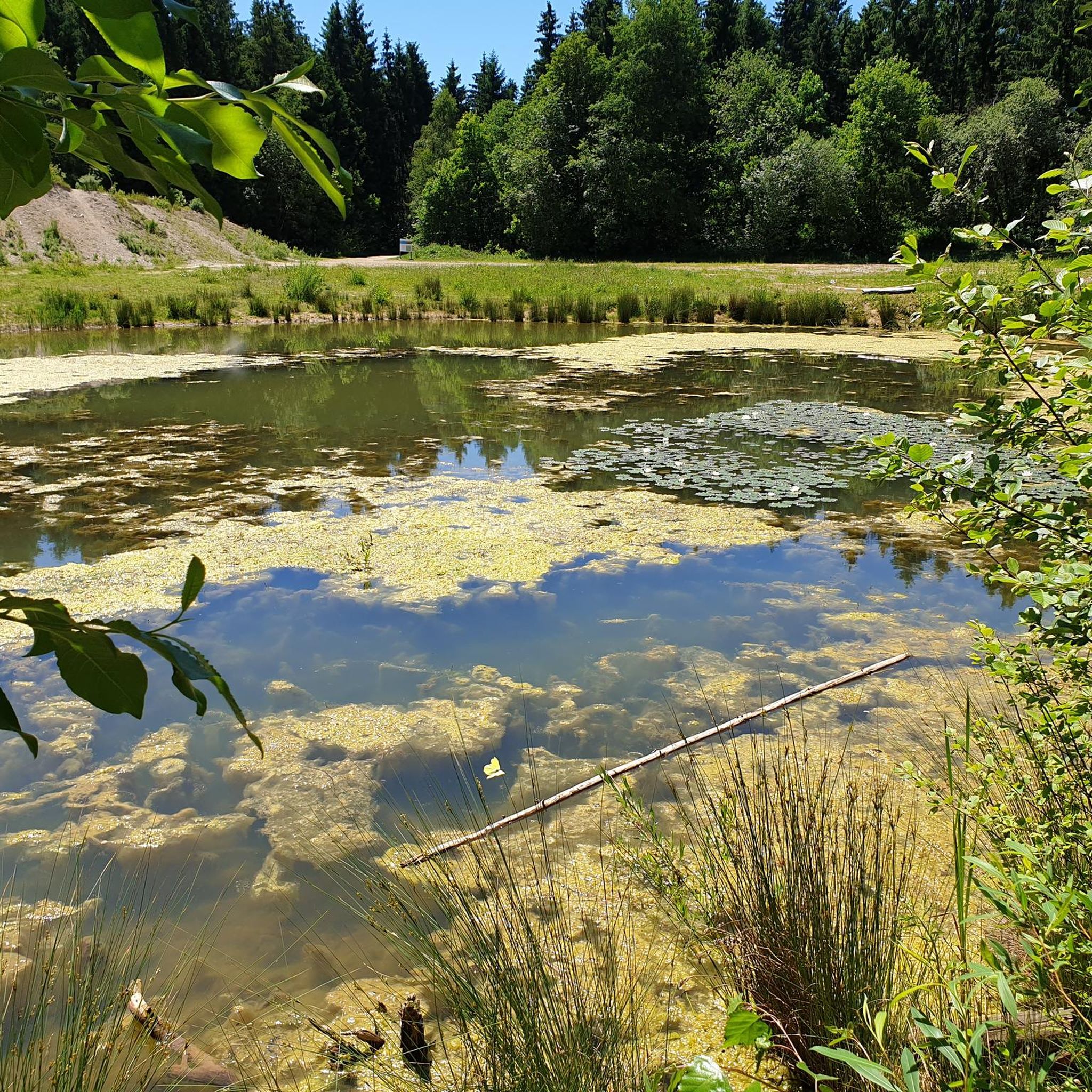
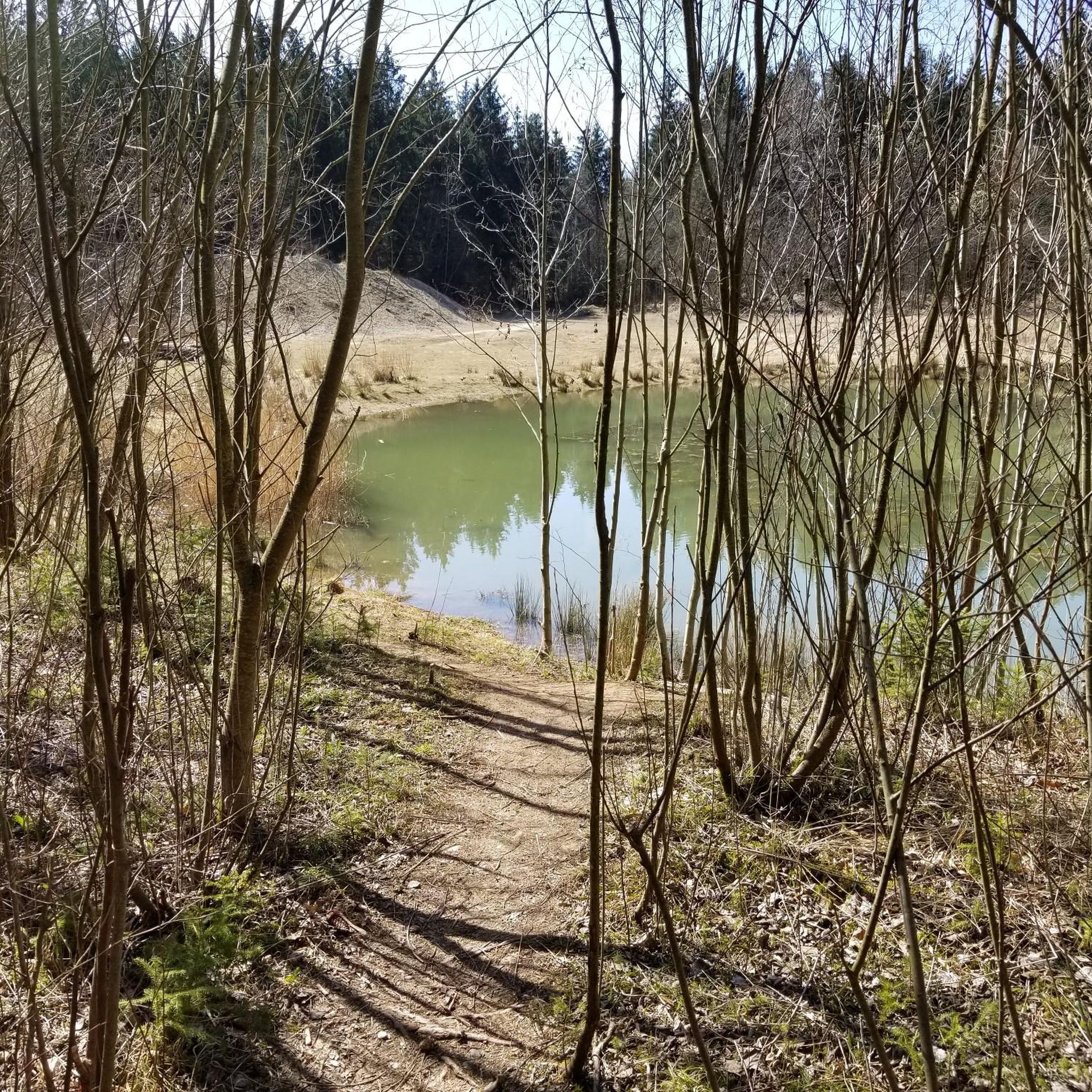
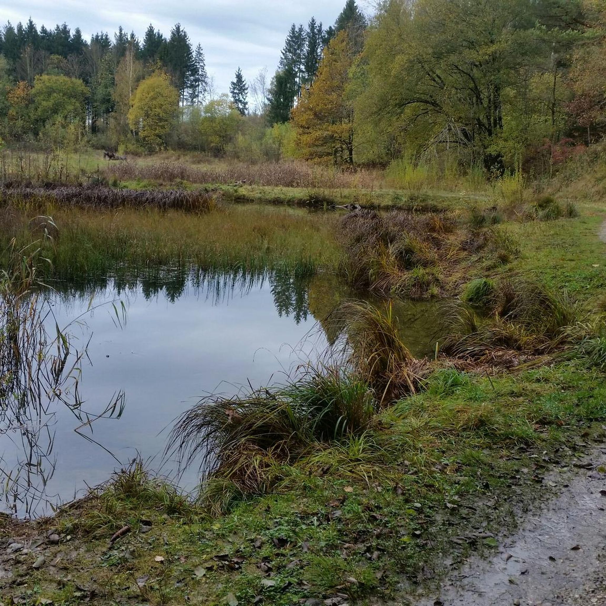
Beautiful view of the Harmatinger Weiher
1
0
Beautiful view of the Harmatinger Weiher
2
0
beautiful path along the Isar
1
0

A mini trail down into the Gleisental valley. It's worth earning with a few wild meters beforehand!
0
0

This stretch is always worth a visit. Especially early in the morning or relatively late in the day, it's especially beautiful in low light.
0
0

Beautiful trail for mountain bikers along a small pond.
0
0
Frequently Asked Questions
What kind of mountain bike trails can I expect in Perlacher Forst?
Perlacher Forst offers a diverse network of mountain bike trails, ranging from well-developed paved sections and gravel paths to dirt tracks and easy singletracks along the railroad tracks. The Isar's high bank also features more technically demanding trails. You'll find routes suitable for all skill levels, from easy S0 trails to more challenging sections.
Are there mountain bike trails suitable for beginners in Perlacher Forst?
Yes, Perlacher Forst has many easy trails perfect for beginners. These routes are generally not winding or interlaced with tree roots, making them accessible. An example is the Marienklausensteg Bridge over the Isar – Isarauen loop from Mangfallplatz, an easy 17.8 km trail that follows the Isar River.
What options are available for experienced mountain bikers?
While many trails are easy, experienced riders can find more challenging sections, particularly along the Isar's high bank which features narrow, technically demanding singletracks. Routes like the Thanninger Pond 2 – Deininger Pond loop from Furth offer a moderate challenge over varied forest terrain.
How long are the mountain bike trails in Perlacher Forst typically?
The mountain bike trails in Perlacher Forst vary significantly in length. You can find shorter routes, such as the Isarauen – Gärtnerplatz loop from Tierpark Hellabrunn at 13.8 km, to longer, more extensive loops like the Thanninger Pond 2 – Deininger Pond loop from Furth which is 35.9 km.
Are there family-friendly mountain bike routes in Perlacher Forst?
Absolutely. Many trails in Perlacher Forst are suitable for families, featuring well-developed paths that are not overly technical. The forest's generally gentle elevations and diverse trail surfaces make it a great place for a family outing on bikes.
How can I reach the mountain bike trails in Perlacher Forst by public transport?
Perlacher Forst is conveniently located on the outskirts of Munich, making it easily accessible by public transport. Many starting points for trails, such as Mangfallplatz or Tierpark Hellabrunn, are well-connected by Munich's public transportation network, including buses and U-Bahn (subway).
Is there parking available for mountain bikers in Perlacher Forst?
Yes, there are various parking options around the perimeter of Perlacher Forst, especially near popular access points and trailheads. Given its proximity to Munich, you'll find designated parking areas that allow for easy access to the forest's trail network.
What natural features or landmarks can I see while mountain biking in Perlacher Forst?
While mountain biking, you can explore dense woodlands with pine trees, discover small ponds, and ride along the picturesque Isar River. A notable landmark is the Perlacher Mugl, a 26-meter observation hill offering views of the forest. You might also encounter the Hirschbrunnen and Overflow Pond or a 300-year-old oak.
Are there any places to stop for refreshments along the trails?
Yes, you can find places to stop for refreshments. For example, the Kugler Alm is a popular spot within or near the forest where you can take a break and refuel during your ride.
Can I find circular mountain bike routes in Perlacher Forst?
Perlacher Forst is ideal for circular mountain bike routes. Many trails are designed as loops, allowing you to start and end at the same point. Examples include the Gleißental Valley – Deininger Pond loop from Furth and the Isarkanal Cycling Route – Ickinger Wehr loop from Grünwald.
When is the best time of year to go mountain biking in Perlacher Forst?
Perlacher Forst is enjoyable for mountain biking throughout much of the year. Spring and autumn offer pleasant temperatures and beautiful foliage, while summer provides lush green scenery. Even misty mornings can create an enchanting atmosphere. Always check local weather conditions before heading out.
What are the conditions like for mountain biking in Perlacher Forst during winter?
During winter, conditions can vary. While the dense forest provides some shelter, trails may be muddy, icy, or covered in snow, especially after fresh snowfall. Some paths might remain rideable, but it's advisable to check local reports and be prepared for colder temperatures and potentially slippery surfaces.
What do other mountain bikers enjoy the most about mountain biking in Perlacher Forst?
The komoot community highly rates mountain biking in Perlacher Forst, with an average score of 4.5 stars from over 3000 reviews. Riders often praise the diverse trail surfaces, the serene natural environment of the dense woodlands, and the convenient accessibility from Munich. The variety of routes catering to all skill levels is also a frequently mentioned highlight.
Most popular routes in Perlacher Forst
Most popular attractions in Perlacher Forst

Get inspired with the komoot mobile app


Explore more
Browse the best MTB trails in other regions.
