The best walks and hikes in Perlacher Forst
4.4
(1702)
31,455
hikers
89
hikes
Hiking in Perlacher Forst offers a diverse range of natural features for outdoor activities southeast of Munich. This extensive woodland, covering approximately 1,500 hectares, provides a vital recreational area for the local populace. The landscape primarily consists of dense forests and picturesque streams, with many paths being relatively flat and easily accessible. The area also features the Perlacher Mugl, a 26-meter lookout hill, and routes extending to the Isar River.
Best hiking trails in Perlacher Forst
- The most popular hiking…
Last updated: October 1, 2026
4.0
(10)
52
hikers
Easy hike. Great for any fitness level. Easily-accessible paths. Suitable for all skill levels.
4.0
(8)
124
hikers
Easy hike. Great for any fitness level. Easily-accessible paths. Suitable for all skill levels.

4.5
(18)
56
hikers
6.20km
01:35
20m
20m
Easy hike. Great for any fitness level. Easily-accessible paths. Suitable for all skill levels.
4.7
(6)
34
hikers
Easy hike. Great for any fitness level. Easily-accessible paths. Suitable for all skill levels.
5.0
(4)
89
hikers
Easy hike. Great for any fitness level. Easily-accessible paths. Suitable for all skill levels.
Get access to more routes and recommendations from other explorers.
Already have an account?
Our route recommendations are based on thousands of hikes, rides, and runs completed by other people on komoot.
Start today with a free account
Your next adventure awaits.



Tips from the Community

😉 Not really suitable for cyclists
0
0

Beautiful path through the forest
1
0
Beautiful path through the Perlacher Forst
1
0
Beautiful path through the forest
1
0
Beautiful paths through the Perlacher Forst
1
0


On November 8, 2025, at 2 p.m., the citizens' initiative "More Space for Life" invites everyone to a ceremonial wreath-laying ceremony at the memorial. Historian Dr. Herbert Dandl will read the names of the Shoah victims from the 18th district from his book, "Everyone Has a Name." Everyone is invited to bring colorful stones and place them at the memorial. More information: https://mehrplatzzumleben.wordpress.com/reichspogromnacht
1
0

It was well attended, but if you forgot to fill your bottles in Munich or need some water for the remaining kilometers, you can make a quick stop here.
1
0
Frequently Asked Questions
How many hiking trails are available in Perlacher Forst?
Perlacher Forst offers a wide selection of routes, with over 90 hiking trails recorded on komoot. These range from easy strolls to more moderate hikes, ensuring options for various fitness levels.
Are there easy hiking options suitable for beginners or families?
Yes, Perlacher Forst is well-suited for easy hikes. The majority of its paths are relatively flat and easily accessible, making them ideal for families with prams or those seeking a relaxed walk. For example, the Perlacher Forest North Entrance – Giesinger Geräumt loop is an easy 3.4-mile (5.5 km) trail that explores the northern sections of the forest.
Can I bring my dog on the hiking trails in Perlacher Forst?
Yes, Perlacher Forst is generally dog-friendly. Its extensive network of paths through dense forests provides ample space for dogs to enjoy. Always ensure your dog is under control and check for any specific local regulations regarding leashes in certain areas.
What kind of natural features or landmarks can I expect to see?
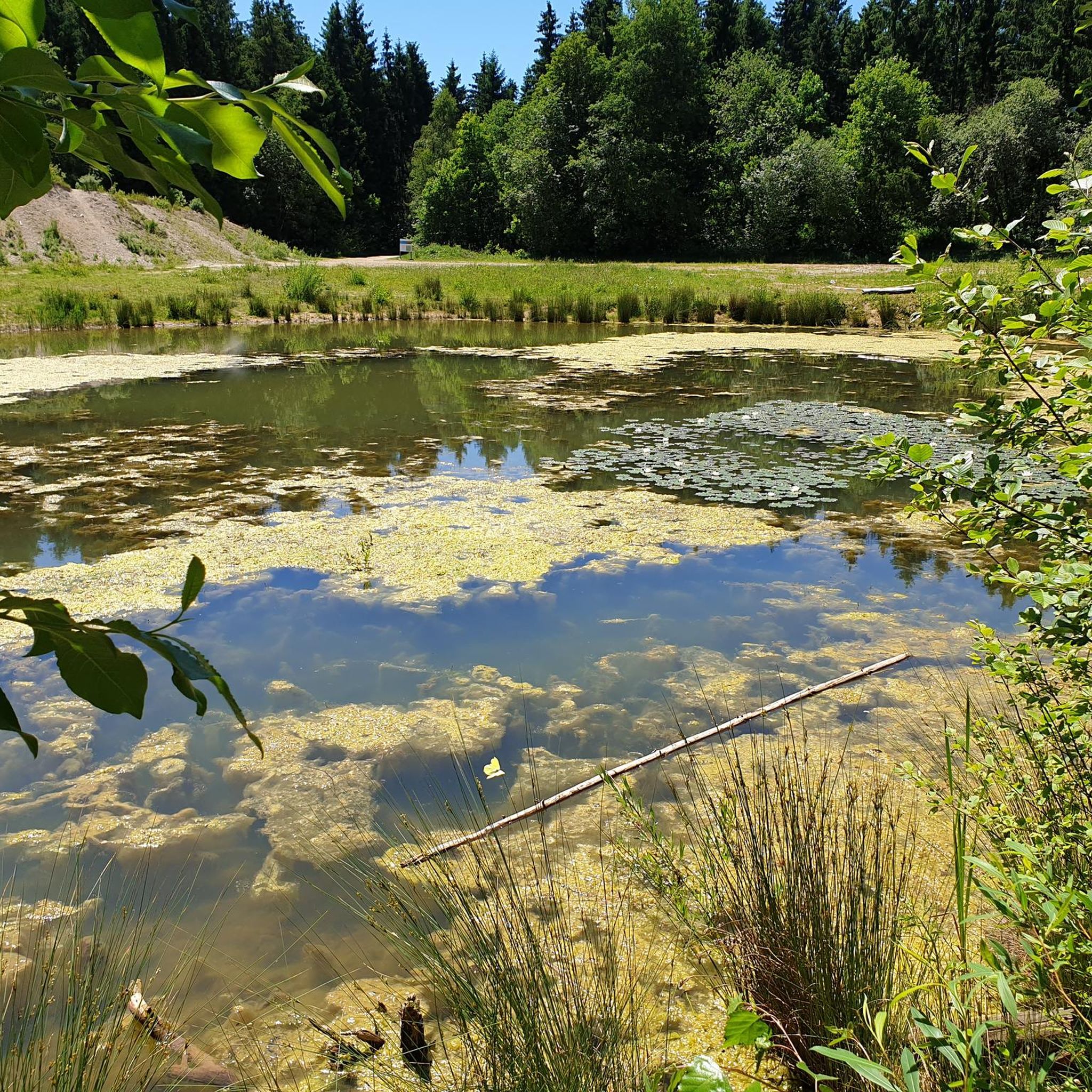
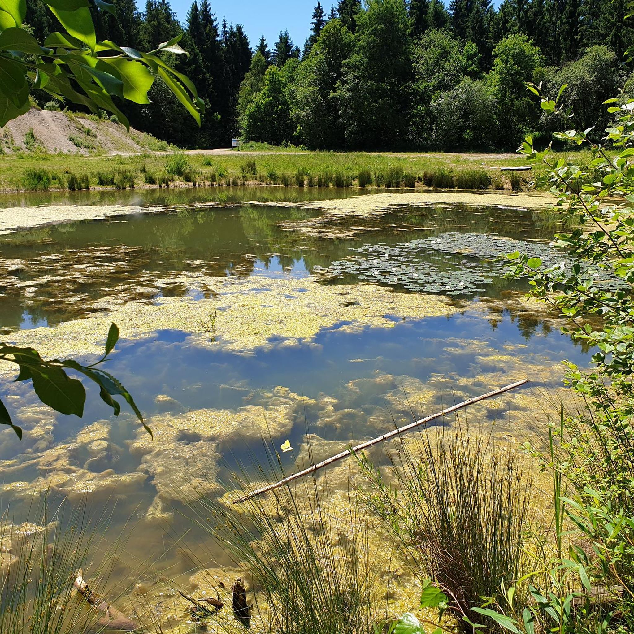
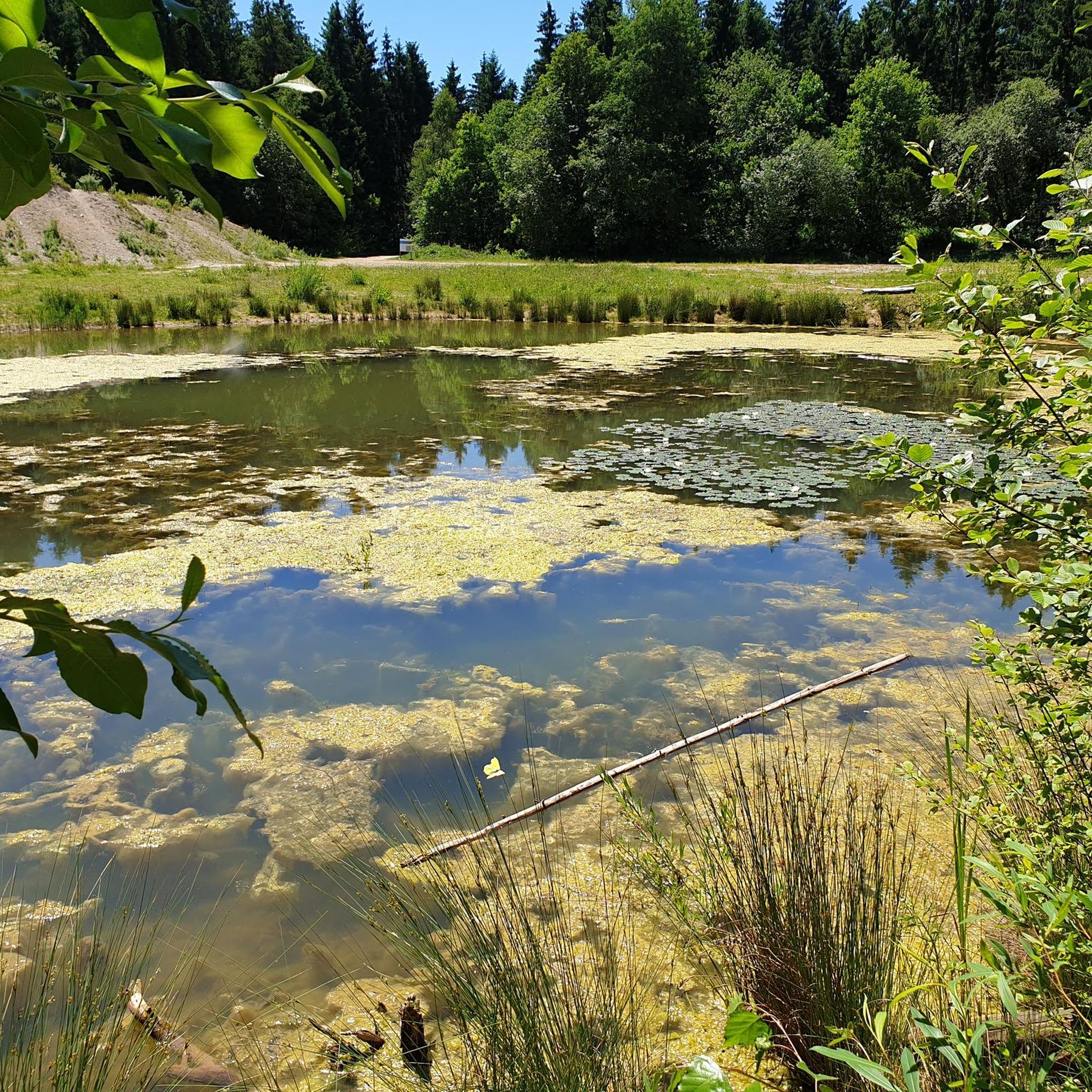
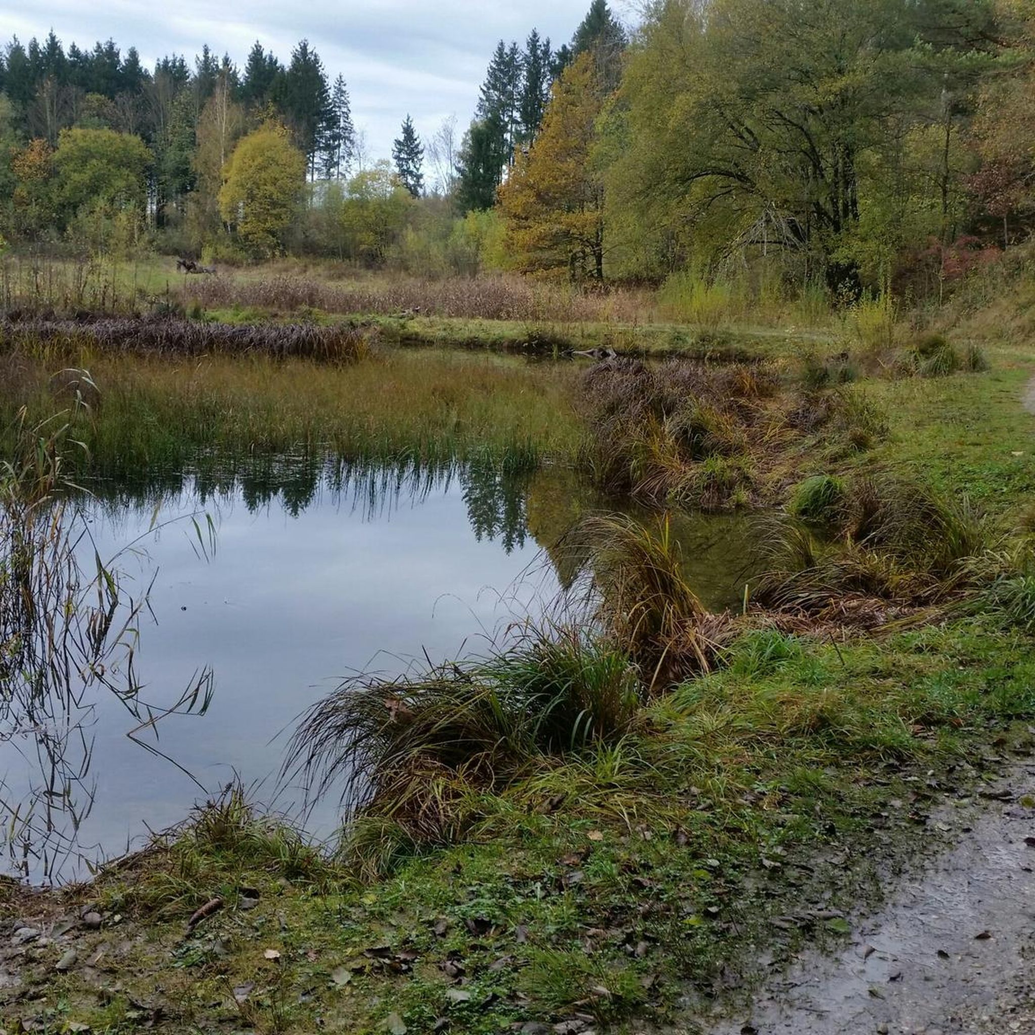
Perlacher Forst features dense forests, picturesque streams, and tranquil forest ponds. Notable landmarks include the Perlacher Mugl, a 26-meter lookout hill offering views, and routes extending to the Isar River, incorporating the scenic Marienklausensteg Bridge. You might also encounter the peaceful Hinterbrühler See.
Are there any viewpoints with scenic vistas?
The most prominent viewpoint is the Perlacher Mugl, a 26-meter hill within the forest. From its summit, you can enjoy expansive views of the surrounding woodland and, on clear days, even catch a glimpse of the Alps.
Are there circular hiking routes in Perlacher Forst?
Yes, many of the trails in Perlacher Forst are designed as circular routes, allowing you to start and end at the same point. An example is the Forest Ponds loop from Unterhaching, which is an easy 3.9-mile (6.2 km) trail.
How can I get to Perlacher Forst using public transport?
Perlacher Forst is well-connected to Munich's public transport network. Various bus and tram lines serve the perimeter of the forest, providing convenient access points for hikers. Specific routes will depend on your starting location within Munich.
Is parking available for hikers?
Yes, there are several designated parking areas around the perimeter of Perlacher Forst, making it accessible for those traveling by car. These parking spots are typically located near popular trailheads.
What is the best time of year to go hiking in Perlacher Forst?
Perlacher Forst is enjoyable year-round. Spring brings lush greenery, while autumn offers vibrant foliage. Summer provides pleasant shade under the dense canopy. Even in winter, the forest can be enchanting, especially during misty early mornings with pine trees on mossy ground.
Are there places to eat or get refreshments near the trails?
Yes, you'll find options for refreshments. The area includes inns and restaurants such as the Nussbaumranch and the Kugler Alm beer garden, perfect for a break after your hike. The Hinterbrühler See also features a small beer garden.
What do other hikers say about their experience in Perlacher Forst?
The komoot community highly rates hiking in Perlacher Forst, with an average score of 4.6 stars from over 380 reviews. Hikers often praise the serene environment, well-marked paths, and the diverse natural features, including the peaceful forest ponds and the accessible terrain.
Are there any routes that include water features like lakes or rivers?
Absolutely. Several routes incorporate water features. For instance, the Marienklausensteg Bridge over the Isar loop takes you along the Isar River. Another option is the Großhesselohe Bridge – Hinterbrühler See loop, which leads to the tranquil Hinterbrühler See.
Are there any longer or more challenging hikes for experienced hikers?
While many trails are easy, Perlacher Forst also offers moderate routes for those seeking a longer challenge. The Großhesselohe Bridge – Hinterbrühler See loop is a moderate 6.0-mile (9.7 km) trail that leads through varied terrain and can take over two hours to complete.
Is there a forest cemetery in the area?
Yes, Perlacher Forst is home to Germany's first and largest forest cemetery. This area offers peaceful walks amidst tall trees and narrow paths, providing a unique and contemplative experience within the forest.
Most popular routes in Perlacher Forst
Most popular attractions in Perlacher Forst

Get inspired with the komoot mobile app


Explore more
Browse the best Hikes in other regions.
