The best running trails in Perlacher Forst
4.7
(22)
586
runners
25
runs
Jogging in Perlacher Forst offers a network of routes through dense woodlands and along forest paths. The region is characterized by its relatively flat to gently rolling terrain, making it suitable for various running abilities. Many routes feature well-maintained trails, providing a consistent surface for runners.
Best jogging routes in Perlacher Forst
- The most popular jogging route is Isarhochweg Grünwald – Isar Riverside Trail loop from Bavaria Film, a 4.9 miles (8.0 km) trail that takes about 50 minutes…
Last updated: October 9, 2026
5.0
(1)
162
runners
Moderate run. Good fitness required. Mostly paved surfaces. Suitable for all skill levels.
4.3
(3)
55
runners
Moderate run. Good fitness required. Mostly paved surfaces. Suitable for all skill levels.

4.5
(2)
56
runners
Moderate run. Good fitness required. Mostly paved surfaces. Suitable for all skill levels.
18
runners
9.49km
01:02
40m
40m
Moderate run. Good fitness required. Mostly accessible paths. Some sure footedness required.
4.0
(1)
37
runners
Moderate run. Good fitness required. Mostly paved surfaces. Suitable for all skill levels.
Get access to more routes and recommendations from other explorers.
Already have an account?
Our route recommendations are based on thousands of hikes, rides, and runs completed by other people on komoot.
Start today with a free account
Your next adventure awaits.



Tips from the Community

Beautiful paths through the Perlacher Forst
1
0

A bit off the beaten track, frequented by walkers, cyclists, and locals. Beautifully renovated and refurbished.
0
0

Beautiful beer garden - just as you imagine
0
0

My Enduro irons out everything, but I'm missing the third chainring for high speed! 🤣
0
0

A special feature of the Perlacher Forest are its dead-straight paths in a checkerboard pattern, some of which are gravel or even paved. Popular with racing cyclists is the paved north-south axis through the Perlacher Forest, which ends at the Kugleralm (a lovely, large beer garden!), where the shandy (mixed drink) was supposedly invented during a supply shortage (we now know better; it's been around for a while). The route was already extremely popular as a cycling excursion out of Munich around 1900, so even beer could be in short supply on the outskirts of Munich. Another highlight is the Perlacher Mugl, a viewing hill estimated to be less than 50 meters high, also located close to the north-south axis. As you can read on the information board at the top of the refuge, the excavated material from the MacGraw Trench on Munich's A995 motorway was used to bury a World War II anti-aircraft tower that would have been impossible to blow up. A lovely little vantage point, information boards help identify important Alpine peaks on the horizon.
1
0


Frequently Asked Questions
How many running routes can I find in Perlacher Forst?
Perlacher Forst offers a network of over 25 running routes, catering to various fitness levels. These trails wind through dense woodlands and along well-maintained forest paths, providing a refreshing escape from the city.
Are there any easy or beginner-friendly jogging routes in Perlacher Forst?
Yes, Perlacher Forst is well-suited for beginners and those looking for an easier run. While most routes are moderate, there is at least one designated easy route, and many of the moderate trails feature relatively flat to gently rolling terrain, making them accessible for less experienced runners. The overall character of the forest paths is generally smooth and well-trodden.
What are the typical distances for running trails in Perlacher Forst?
The running routes in Perlacher Forst vary in length, with many popular options ranging from approximately 4.5 to 6 miles (7 to 10 km). For example, the Perlacher Forest – Forest Path loop from Infineon is about 4.7 miles (7.6 km), offering a good mid-range distance.
Are there circular running routes available in Perlacher Forst?
Yes, many of the running routes in Perlacher Forst are circular, allowing you to start and finish at the same point without retracing your steps. A great example is the Running loop from Mangfallplatz, which covers about 5.5 miles (8.8 km) and provides a varied forest experience.
Is Perlacher Forst suitable for jogging with dogs?
Perlacher Forst is generally dog-friendly, offering plenty of space for you and your canine companion to enjoy a run. However, it's important to keep dogs on a leash, especially in designated areas or during specific seasons, and to always clean up after them. The wide forest paths are ideal for running with pets.
Are there any family-friendly running trails in Perlacher Forst?
Absolutely. The relatively flat and well-maintained paths of Perlacher Forst make it an excellent choice for families. Many routes are suitable for jogging with children, and the natural surroundings provide a pleasant environment for outdoor activity. Consider routes that avoid major roads and stick to the inner forest paths for a safer and more enjoyable family experience.
What kind of natural sights or landmarks can I expect to see along the running routes?
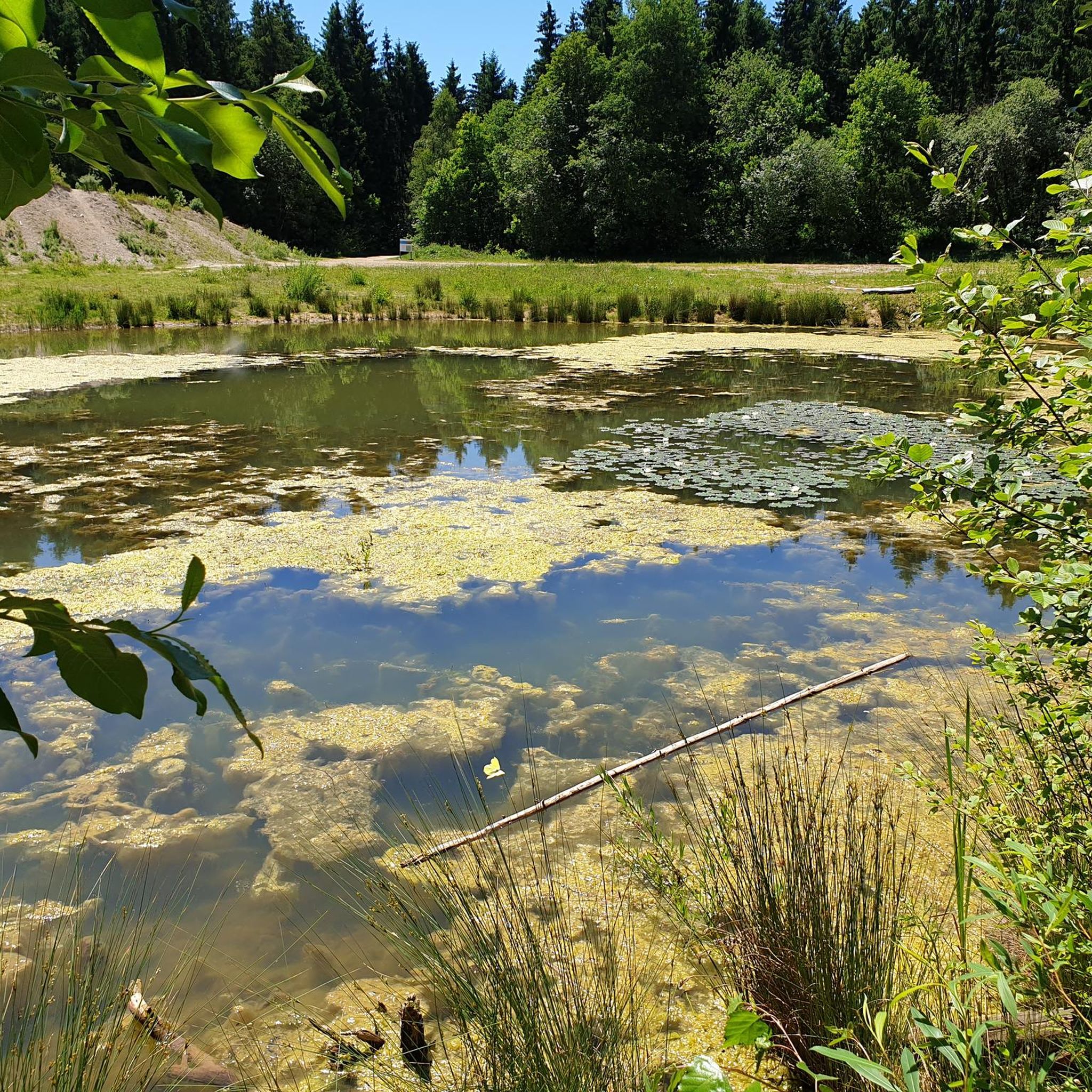
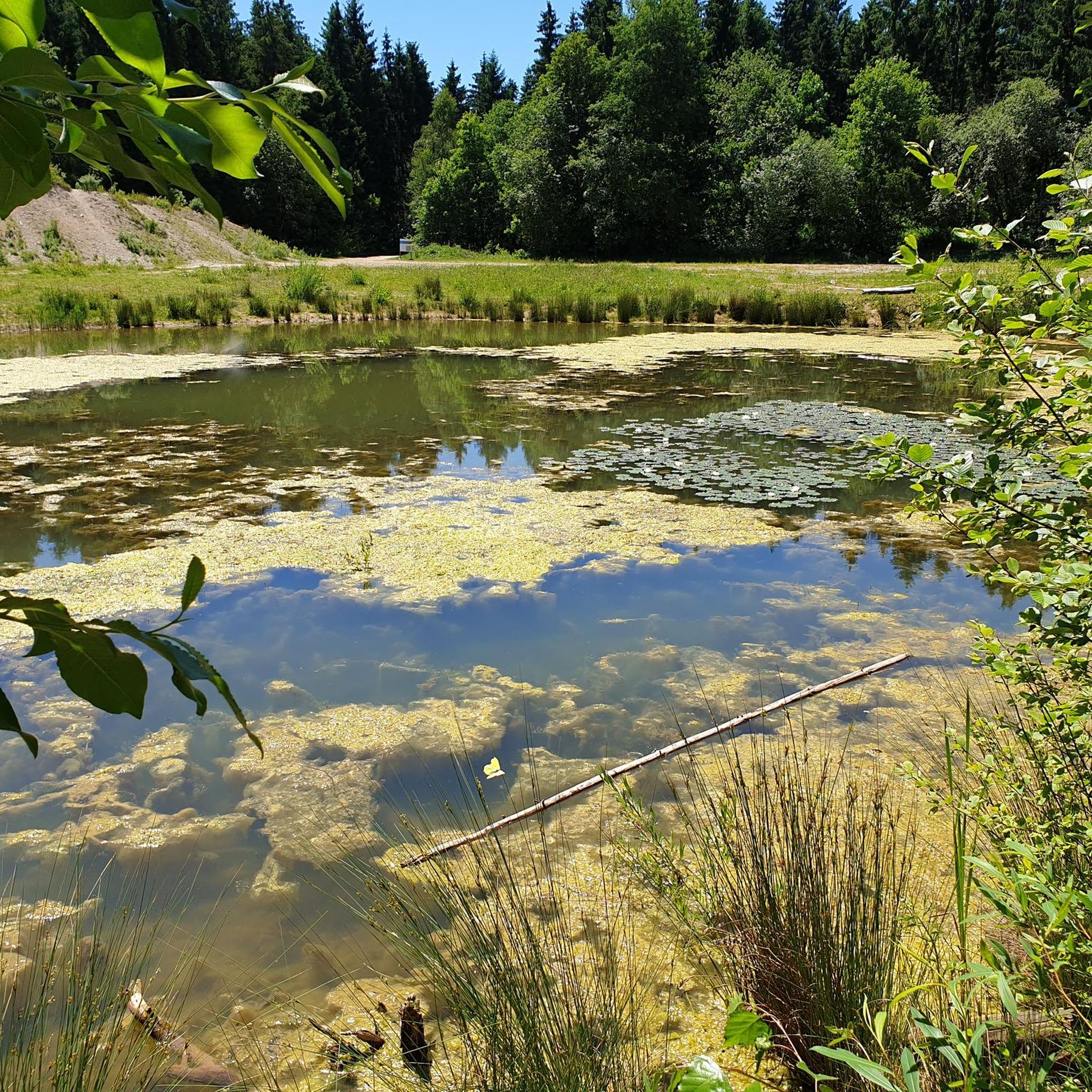
Perlacher Forst offers several points of interest. You might encounter natural monuments like the Hirschbrunnen and Overflow Pond or the impressive 300-year-old oak. There's also the serene Arelat Pond, providing a tranquil spot during your run. For panoramic views, the View of the Alps from Perlacher Mugl is a notable highlight.
Where can I park when visiting Perlacher Forst for a run?
Parking is available at various access points around Perlacher Forst. Many runners start near Bavaria Film Studios or Mangfallplatz, where you can often find street parking or designated parking areas. It's advisable to check local signage for specific parking regulations and availability.
Are there any cafes or places to get refreshments near the running routes?
Yes, after your run, you can find places to relax and refuel. The Kugler Alm is a well-known establishment located near the forest, offering refreshments and a traditional Bavarian atmosphere. It's a popular spot for locals and visitors alike.
What do other runners appreciate most about jogging in Perlacher Forst?
The komoot community highly rates the running experience in Perlacher Forst, with an average score of 4.8 stars from over 15 reviews. Runners frequently praise the quiet, dense woodlands, the well-maintained forest paths, and the overall peaceful atmosphere that makes it an ideal place to escape the city and enjoy nature while exercising.
How accessible is Perlacher Forst by public transport for runners?
Perlacher Forst is well-connected to Munich's public transport network. Key access points like Mangfallplatz are served by public transport, making it convenient for runners to reach the forest without a car. From these points, you can easily access various trailheads and start your run.
What are the trail conditions like for running in Perlacher Forst?
The running routes in Perlacher Forst are generally characterized by well-trodden forest paths and gravel trails. They are typically well-maintained and offer a consistent surface, making them suitable for most running shoes. While mostly flat, some sections may have gentle inclines, and conditions can vary slightly with weather, especially after rain.
Most popular routes in Perlacher Forst
Most popular attractions in Perlacher Forst

Get inspired with the komoot mobile app


Explore more
Browse the best Running Trails & Routes in other regions.
