The best gravel rides around Mill Valley
4.6
(20)
475
riders
13
rides
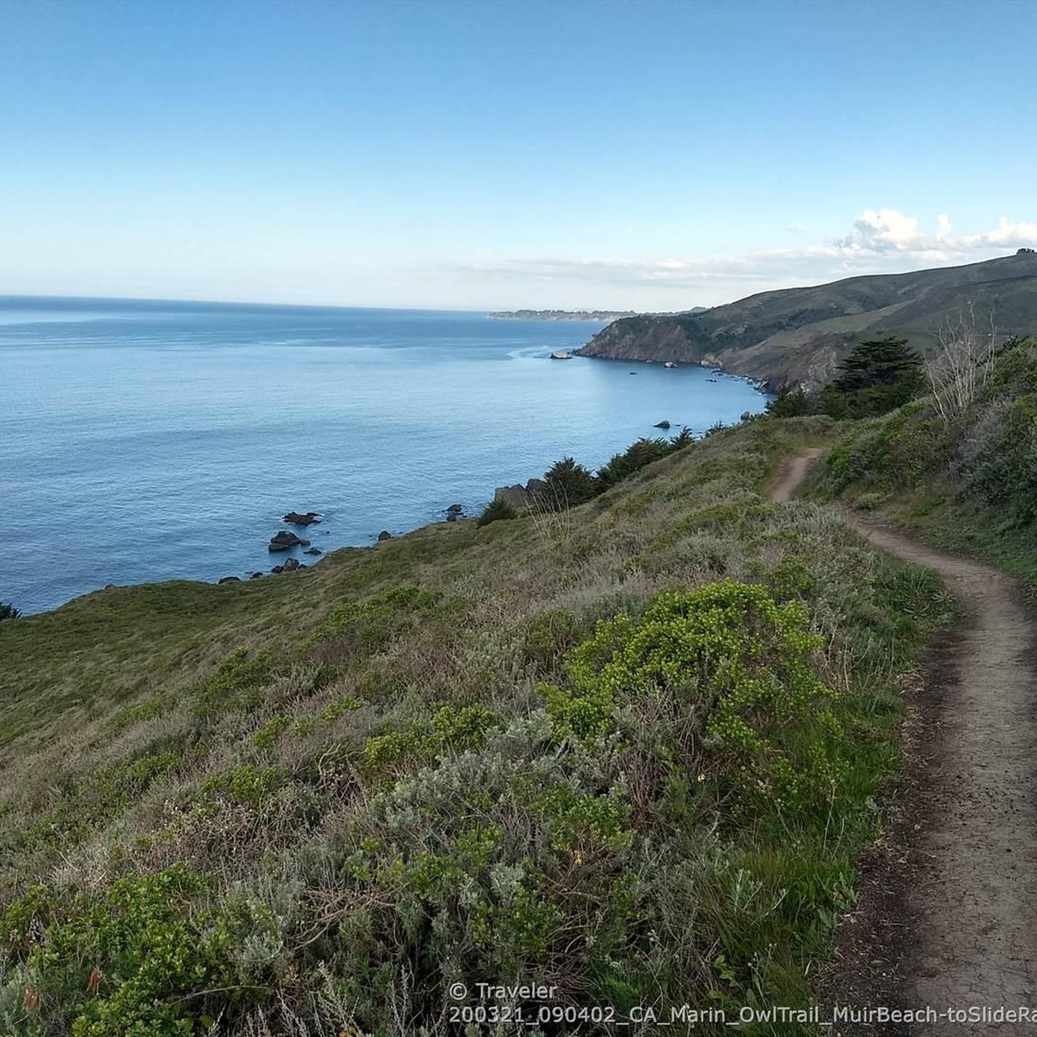
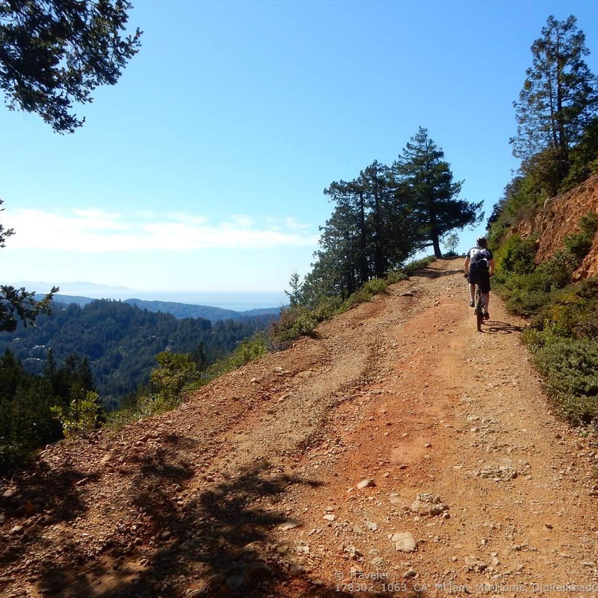
Gravel biking around Mill Valley offers a diverse landscape characterized by redwood forests, rolling hills, and coastal views at the base of Mount Tamalpais. The region features deep canyons, sweeping hillsides, and open grasslands, providing varied terrain for riders. Extensive networks of gravel roads wind through natural areas, including oak woodlands, with many routes offering views of the Pacific Ocean and the Golden Gate Bridge.
Best gravel bike trails around Mill Valley
- The most popular gravel bike trail is Railroad Grade Fire Road loop from Mill Valley, a 15.2 miles (24.5 km) trail that takes 2 hours 39 minutes to complete. This classic route is known for its challenging gravel climb to Mount Tamalpais.
- Another top favourite among local gravel bikers is Alpine Dam – Fish Gulch trail junction loop from Alta, a difficult 35.0 miles (56.4 km) path. This route offers extensive climbing and scenic views around the Alpine Dam area.
- Local gravel bikers also love the Phoenix Lake – Fish Gulch trail junction loop from Mill Valley, a 28.3 miles (45.6 km) trail leading through varied natural surroundings, often completed in about 4 hours 53 minutes.
- Gravel biking around Mill Valley is defined by redwood forests, rolling hills, and coastal paths. The network offers options for different ability levels, from moderate to difficult, with significant elevation gains.
- The routes in Mill Valley are highly rated by the komoot community with an average score of 4.4 stars from over 10 reviews. More than 300 gravel bikers have used komoot to explore Mill Valley's varied terrain.
Last updated: October 4, 2026
4.8
(6)
76
riders
47.4km
04:21
1,270m
1,270m
Hard gravel ride. Very good fitness required. Mostly paved surfaces. Suitable for all skill levels.
5.0
(3)
64
riders
29.3km
02:46
850m
850m
Hard gravel ride. Very good fitness required. Mostly paved surfaces. Suitable for all skill levels.

5.0
(1)
64
riders
32.9km
02:23
570m
570m
Hard gravel ride. Very good fitness required. Mostly paved surfaces. Suitable for all skill levels.
5.0
(2)
43
riders
37.0km
03:07
1,000m
1,000m
Hard gravel ride. Very good fitness required. Mostly paved surfaces. Suitable for all skill levels.
16
riders
45.7km
03:59
1,180m
1,180m
Hard gravel ride. Very good fitness required. Mostly paved surfaces. Suitable for all skill levels.
Get access to more routes and recommendations from other explorers.
Already have an account?
Our route recommendations are based on thousands of hikes, rides, and runs completed by other people on komoot.
Start today with a free account
Your next adventure awaits.
Tips from the Community


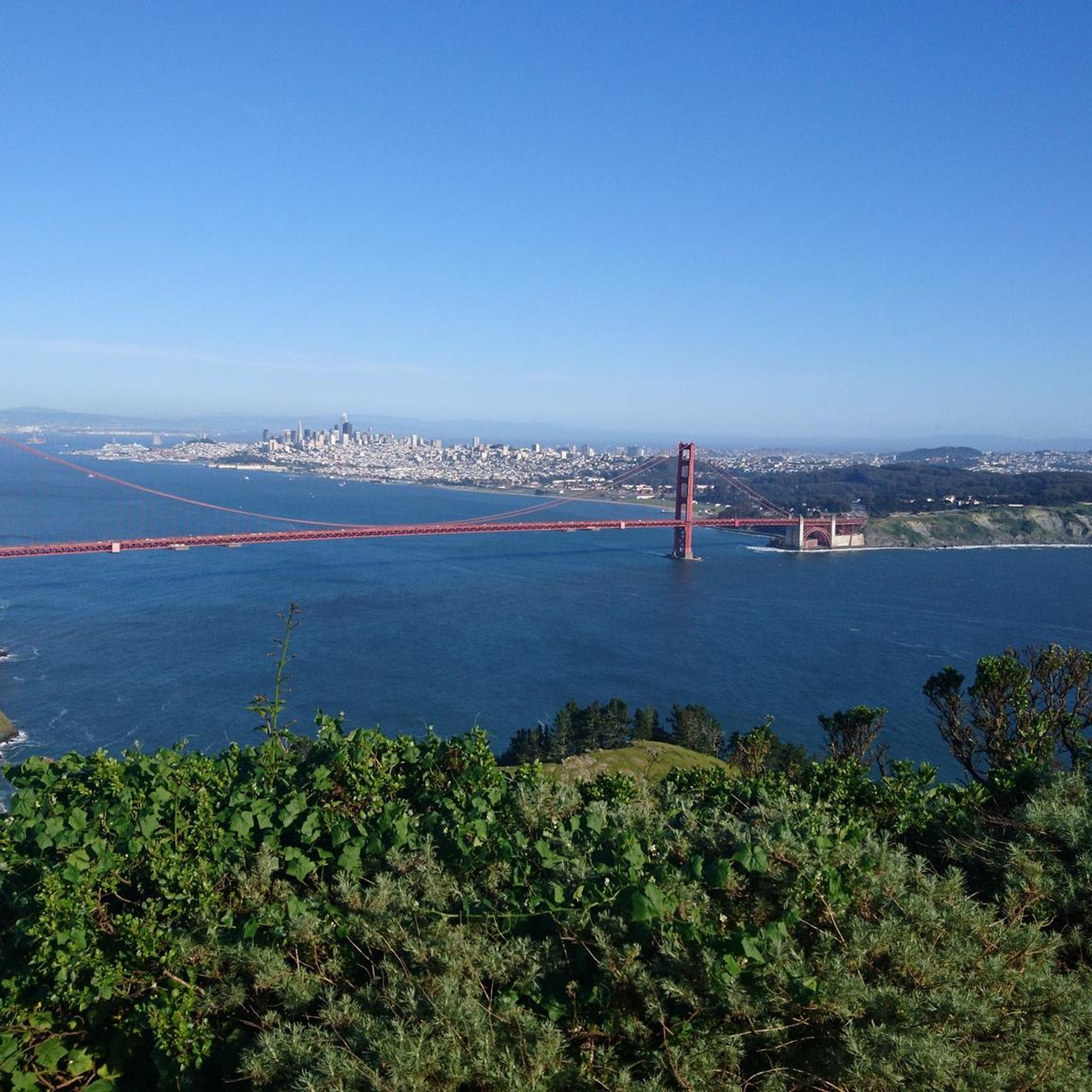
Arrival of the magnificent Golden Gate crossing
0
0

Good vantage point.
0
0

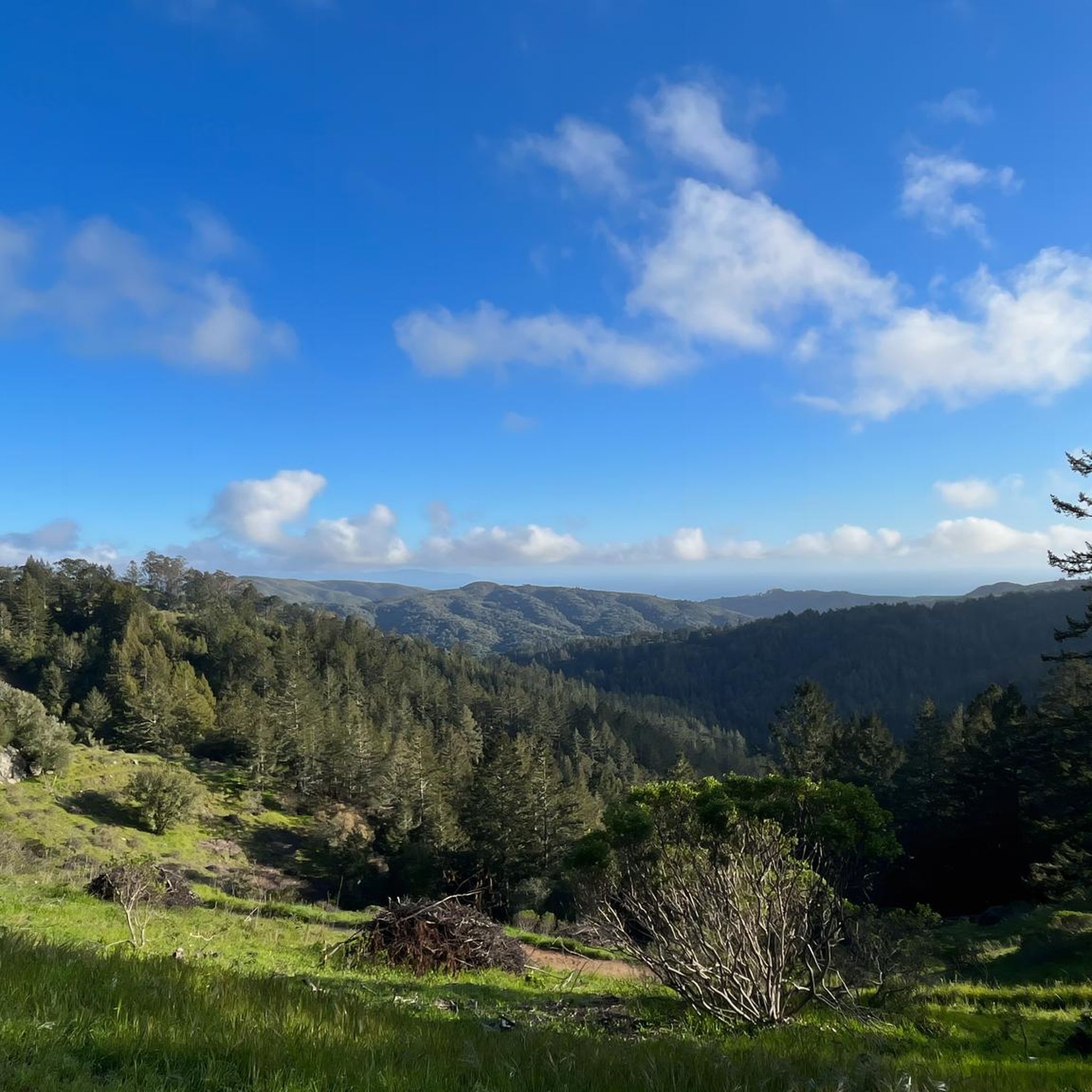
Mount Tam East Peak offers some of the most majestic views north of the bay. From this vantage point, you can see all of Marin, along with Point Reyes to the north and Oakland and San Francisco to the south. The stunning panoramic vistas make the journey well worth the effort. There are restrooms and picnic tables, ideal for a snack or lunch while you capture some incredible photos.
0
0

Often busy on weekends, this is a great spot to take moment before/after summiting Mt Tam. There are spigots to fill up water and bathrooms that are open during park hours. The parking lot is very close for those that drive up. There is access to MANY trails for those on foot/bike.
0
0

A nice place, but the bike parking fee and the price of an ice cream are a complete rip off!
0
0
Pantoll Road is a beautiful, mostly paved route through Mount Tamalpais State Park, connecting the Panoramic Highway to Ridgecrest Boulevard. It winds closely along the curves of the hillside, with some shade from the trees in some spots. There are fantastic views along the way of San Francisco and the Marin Headlands, with incredible viewpoints over the Pacific coastline.
0
0
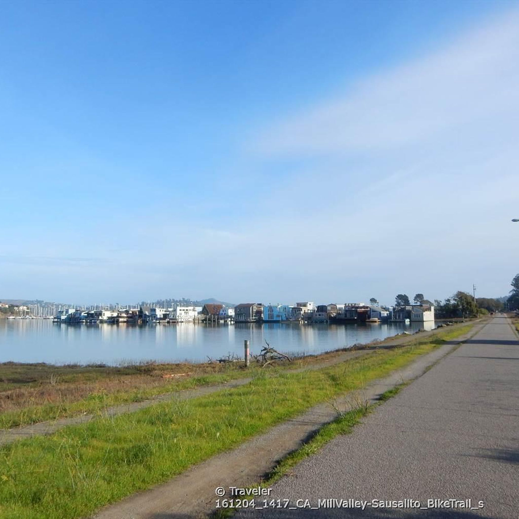
This tidal sanctuary runs along the Mill Valley-Sausalito Pathway and the Charles F. McGlashan Pathway. More than 400 species of migratory birds rest here after their long flights, and if you pass through in the early morning or late evening, the sunrises and sunsets reflect beautifully on the surface of this 106-acre marsh.
0
0
Frequently Asked Questions
How many gravel bike trails are available around Mill Valley?
Mill Valley offers a diverse selection of over 10 gravel bike trails, catering to various skill levels. These routes traverse redwood forests, rolling hills, and provide stunning coastal views.
What kind of terrain can I expect on gravel bike trails near Mill Valley?
Gravel biking around Mill Valley features a mix of challenging terrain, from deep canyons and sweeping hillsides to cool redwood forests and open grasslands. Many routes combine dirt and paved sections, with significant elevation gains, especially when ascending Mount Tamalpais or exploring the Marin Headlands.
What is the best time of year for gravel biking in Mill Valley?
The Mill Valley area is generally excellent for gravel biking year-round, though spring and fall offer particularly pleasant conditions with mild temperatures and vibrant scenery. Summers are typically dry and warm, while winters can bring rain, making some trails muddy. Always check local weather conditions before heading out.
Are there any beginner-friendly gravel bike trails in Mill Valley?
While many routes in Mill Valley feature significant climbing and can be challenging, there are options for those seeking a more relaxed experience. The Marincello Trail – Sausalito — Mill Valley Path loop from Alta offers a mix of hard gravel and paved surfaces, providing a good introduction to the area's diverse terrain. For very casual rides, the mostly paved Mill Valley-Sausalito Pathway is also an option.
What are some scenic viewpoints or landmarks I can see while gravel biking?
Many gravel routes in Mill Valley offer breathtaking views. Ascending Mount Tamalpais via routes like the Railroad Grade Fire Road loop from Mill Valley provides expansive views of Muir Woods, the Bay Area, and the Pacific Ocean. The Marin Headlands offer stunning vistas of the Golden Gate Bridge and the Pacific. You can also explore highlights like the Mount Tamalpais Summits or the Bon Tempe Dam.
Are there any loop routes for gravel biking around Mill Valley?
Yes, several excellent loop routes are available. The Pantoll Road loop from Mill Valley is a challenging option, while the Phoenix Lake – Fish Gulch trail junction loop from Mill Valley offers varied natural surroundings. For a longer, more difficult ride, consider the Alpine Dam – Fish Gulch trail junction loop from Alta.
What do other gravel bikers enjoy most about the trails in Mill Valley?
The gravel biking routes around Mill Valley are highly rated by the komoot community, with an average score of 4.75 stars from over 7 reviews. Riders frequently praise the diverse landscapes, from redwood forests to coastal views, and the challenging yet rewarding climbs that offer spectacular panoramas.
Is public transport available to reach gravel biking trailheads in Mill Valley or the Marin Headlands?
Public transport options to trailheads can be limited. While Mill Valley itself has some local bus services, reaching specific gravel trailheads, especially in more remote areas like the Marin Headlands or Mount Tamalpais, often requires a car. It's advisable to check local transit schedules and routes in advance if planning to use public transport.
Are there any cafes or places to stop for refreshments near the gravel trails?
Mill Valley and surrounding towns offer various cafes and eateries. For example, the Splitrock Tap & Wheel is a popular spot. Some routes, particularly those near Mount Tamalpais, might have limited options, so it's always a good idea to carry sufficient water and snacks. The West Point Inn on Mount Tamalpais is a historic spot that sometimes offers refreshments.
Are permits required for gravel biking on trails in Marin County?
Generally, permits are not required for gravel biking on most fire roads and designated multi-use trails in Marin County, including those within Mount Tamalpais State Park or the Marin Headlands. However, rules can vary, especially for specific areas or events. It's always best to check the official websites of the relevant park authorities (e.g., Mount Tamalpais State Park, Golden Gate National Recreation Area) for the most current regulations before your ride.
Can I bring my dog on gravel bike trails in Mill Valley?
Dog policies vary by park and trail. While some areas allow dogs on leash, others, particularly sensitive natural areas or those with wildlife protection, may restrict them. For instance, Mount Tamalpais State Park has specific rules regarding dogs. Always check the regulations for the specific trail or park you plan to visit to ensure it's dog-friendly and understand any leash requirements.
What are the typical distances and elevation gains for gravel bike routes in Mill Valley?
Gravel bike routes in Mill Valley vary significantly in length and elevation. You can find routes ranging from approximately 15 miles (24 km) with around 2,000 feet (600 m) of climbing, such as the Railroad Grade Fire Road loop, to longer, more challenging rides like the Alpine Dam – Fish Gulch trail junction loop, which covers about 35 miles (56 km) with over 3,700 feet (1,100 m) of elevation gain. Expect significant climbing on most routes due to the region's hilly topography.
Most popular routes around Mill Valley
Most popular attractions around Mill Valley

Get inspired with the komoot mobile app


Explore more
Browse the best Gravel rides in other regions.
