The best road cycling routes around Mill Valley
4.5
(240)
10,277
riders
17
rides
Road cycling routes around Mill Valley, located at the base of Mount Tamalpais in Marin County, California, offer diverse terrain for cyclists. The region features iconic climbs, coastal descents, and roads shaded by redwood forests. Cyclists can navigate routes with significant elevation gains and panoramic views of the Pacific Ocean, San Francisco skyline, and the Golden Gate Bridge.
Best road cycling routes around Mill Valley
- The most popular road cycling route is Pan Toll Road via Panoramic Highway, a 19.3 miles (31.0 km) trail that takes 1 hour 52 minutes to complete. This route ascends Pan Toll Road, offering extensive views of the Bay Area.
- Another top favourite among local road cyclists is Pantoll Road – Mount Tamalpais Summits loop from Mill Valley, a difficult 29.5 miles (47.5 km) path. This route involves challenging climbs towards the summits of Mount Tamalpais.
- Local road cyclists also love the Camino Alto Road – Corte Madera Creek loop from Mill Valley, a 29.7 miles (47.9 km) trail leading through varied terrain, often completed in about 2 hours 18 minutes.
- Road cycling around Mill Valley is defined by iconic climbs, coastal descents, and redwood-shaded roads. The network offers options for various ability levels, from moderate rides to challenging ascents.
- The routes in Mill Valley are highly rated by the komoot community with an average score of 4.7 stars from over 3 reviews. More than 800 road cyclists have used komoot to explore Mill Valley's varied terrain.
Last updated: June 24, 2026
5.0
(2)
127
riders
31.0km
01:52
710m
710m
The Pan Toll Road via Panoramic Highway offers a challenging road cycling experience that rewards grit with incredible scenery. You'll climb through dense redwood forests, eventually breaking out to panoramic views of the Pacific Ocean, the San Francisco Bay, and the Marin County Hills. The route features continuous, demanding ascents with an average gradient of around 6.8%, making it a true test for your legs.
This moderate 19.3-mile (31.0 km) ride, with 2344 feet (714 metres) of elevation gain, typically takes around 1 hour and 52 minutes. It's best suited for experienced cyclists due to its significant and often relentless climbs, with some sections reaching a steep 15-20%. Be aware that traffic can be moderate to heavy on weekends, and dressing in layers is advisable due to potential temperature shifts.
This route is a key part of the ascent to Mount Tamalpais State Park, offering a comprehensive test of stamina for Bay Area cyclists. On clear days, the expansive views can stretch to the Farallon Islands and even the snow-capped Sierra Nevada Mountains. The Mountain Home Inn provides a great mid-ride stop to appreciate the vistas.
5.0
(2)
194
riders
65.3km
03:52
1,510m
1,510m
Hard road ride. Very good fitness required. Mostly well-paved surfaces and easy to ride.

Sign up for free
156
riders
35.1km
02:10
940m
940m
The Pantoll Road – Mount Tamalpais Summits loop from Mill Valley offers a challenging road cycling experience through diverse landscapes. You'll climb through dense redwood forests, tackle the moderately steep ascent to the East Peak summit, and enjoy exhilarating descents with banked corners on Pantoll Road. The route provides ever-changing views, from the Pacific Ocean to the San Francisco skyline, making it a truly special ride for those seeking panoramic vistas.
This difficult 21.8-mile (35.1 km) route involves a substantial 3094 feet (943 metres) of elevation gain, typically taking around 2 hours and 9 minutes to complete. While mostly paved, some sections might be unpaved and require extra effort. For the best experience, plan your visit on a clear day to fully appreciate the expansive views, and consider starting early to secure parking in Mill Valley.
Mount Tamalpais holds a special place for road cyclists in the Bay Area, often surpassing other regional climbs in reputation. This loop is a favorite among locals, celebrated for its significant workout and the unique perspective it offers on the region's varied terrain. It's a prime example of the advanced cycling trails available from Mill Valley, perfect for experienced riders.
5.0
(2)
83
riders
Moderate road ride. Good fitness required. Mostly well-paved surfaces and easy to ride.
5.0
(1)
58
riders
Easy road ride. Great for any fitness level. Mostly well-paved surfaces and easy to ride.
Get access to more routes and recommendations from other explorers.
Sign up for free
Already have an account?
Our route recommendations are based on thousands of hikes, rides, and runs completed by other people on komoot.
Start today with a free account
Your next adventure awaits.
Login or Signup
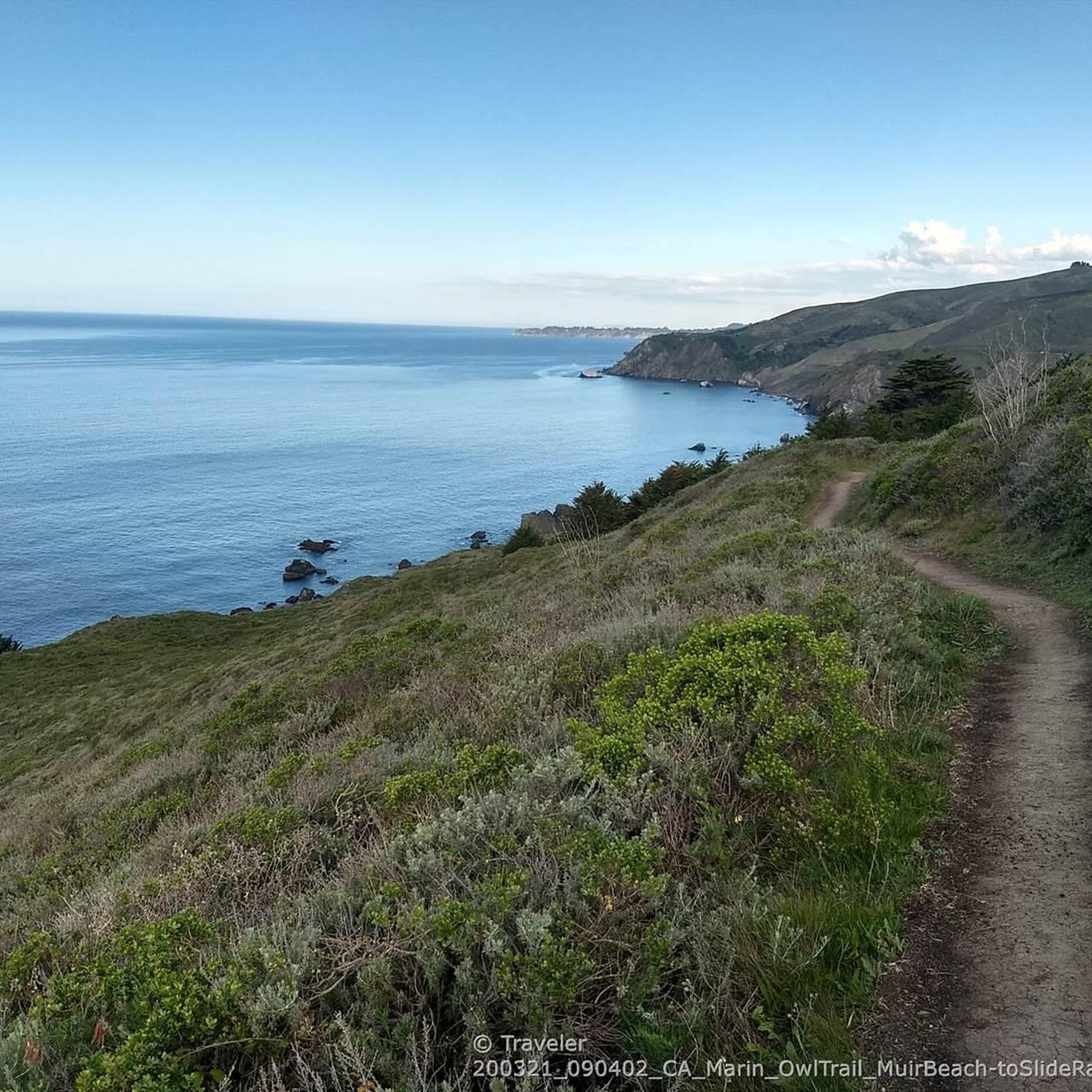
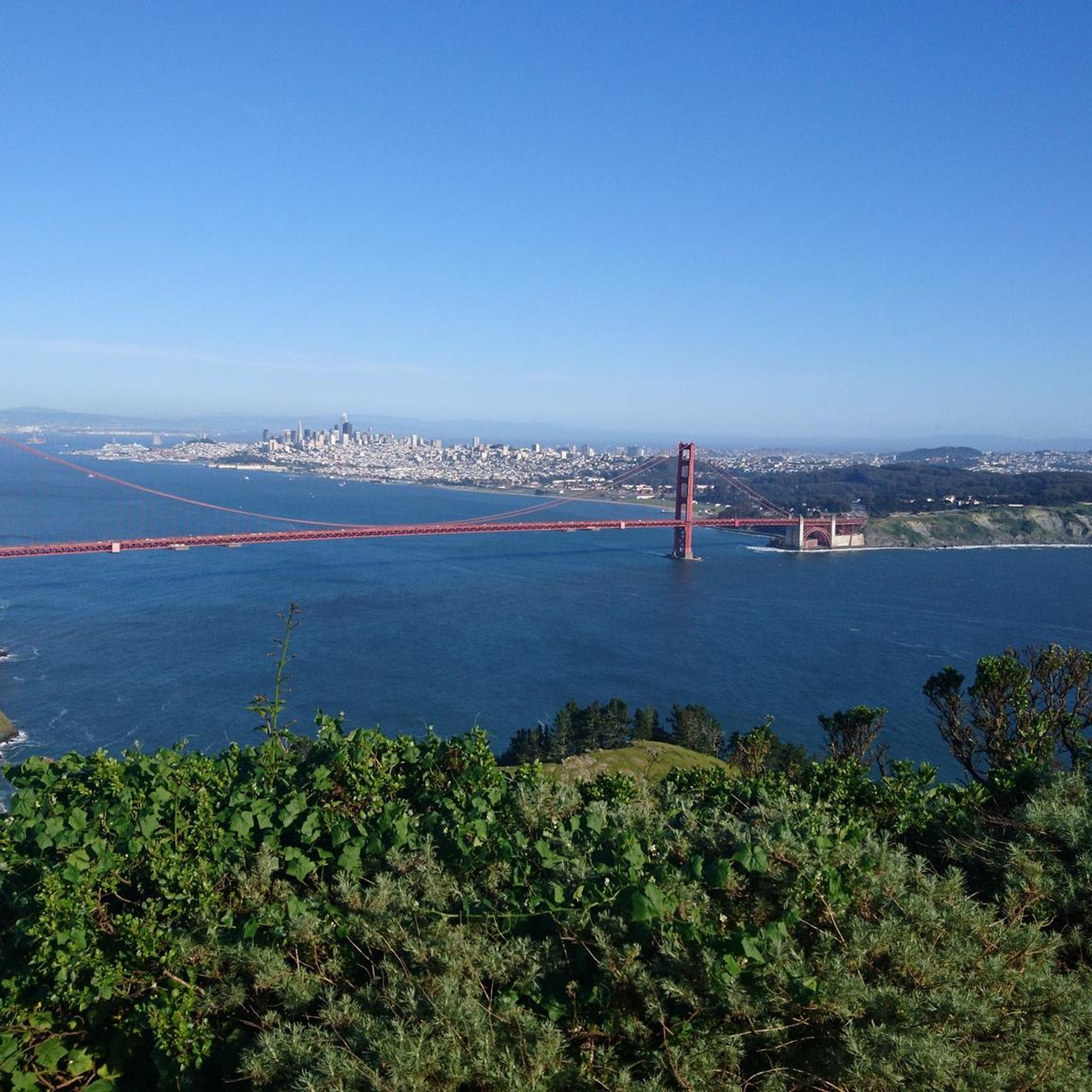
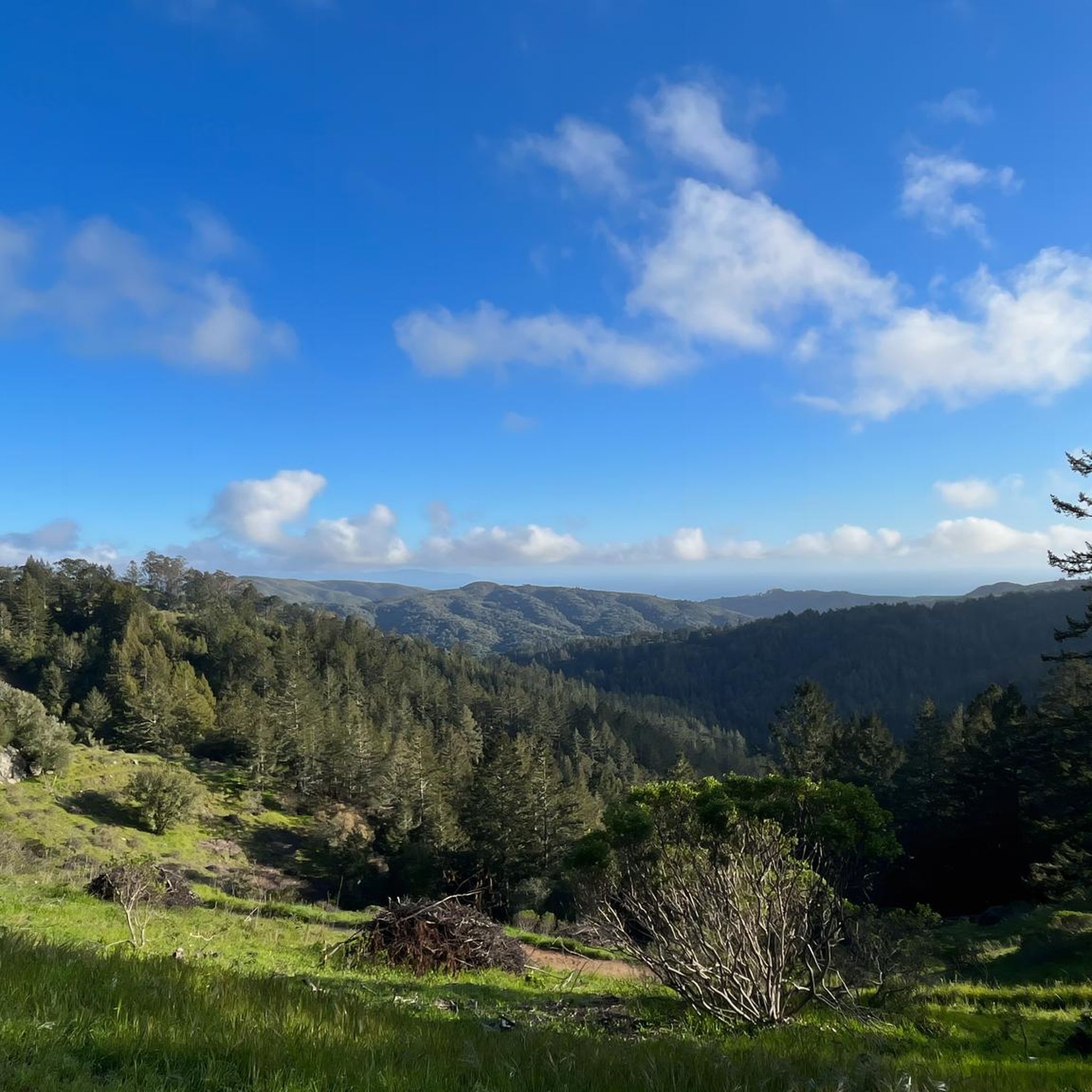
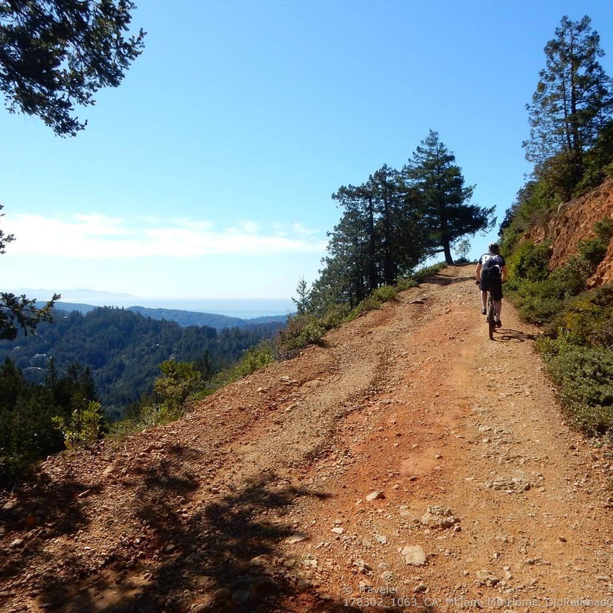

Tips from the Community

Bayfront Park with gazebo, large lawns, picnic tables, boule courts, kayak/boat launch. Often used for free outdoor concerts
0
0

Arrival of the magnificent Golden Gate crossing
0
0
Paved section riding on the ridge between Pan Toll Road and Fairfax-Bolinas Road where it contains as Bolinas Ridge Trail, with spectacular views along the way toward the Pacific Ocean and Stinson Beach far below. The road is open during daylight hours only, in winter that means 9am to sunset.
0
0


The Old Tiburon Rail Trail is a scenic 2.6-mile path along the San Francisco Bay, with breathtaking water views and Mt. Tamalpais. Starting at Blackie's Pasture, it winds past coastal mudflats full of wildlife before transitioning into an on-street bike lane leading to downtown Tiburon. It's a fantastic, smooth ride with historical markers, parks, and a ferry terminal at the trail's end, making it an ideal place to enjoy nature and local history for a day away from the big city.
0
1

Set beneath the towering trees of Mount Tam, Rock Springs is the perfect jumping-off point for scenic hikes and quiet picnics—where trails, wildlife, and wide-open views begin.
0
0
Perched high on Mount Tam, the stone-built Mountain Theater offers sweeping views and timeless performances—where nature and art come together in one of California’s most breathtaking open-air stages.
0
0

The Pantoll Campground is a First-come/first-serve site in Mt. Tamalpais State Park. Each site has a barbeque grill, a fire ring, and a picnic table. You need to pay for the site at the Ranger Station as you enter the park.
1
0
Frequently Asked Questions
How many road cycling routes are available around Mill Valley?
Mill Valley offers a diverse selection of over 15 road cycling routes. These routes cater to various skill levels, from moderate rides to challenging ascents, all set against the stunning backdrop of Marin County.
What kind of terrain can I expect on road cycling routes in Mill Valley?
Road cycling in Mill Valley features a mix of iconic climbs, exhilarating coastal descents, and roads shaded by ancient redwood forests. You'll encounter varied terrain, from challenging mountain roads to more rolling paths, often with panoramic views of the Pacific Ocean, San Francisco skyline, and the Golden Gate Bridge.
Are there challenging road cycling routes with significant elevation gain in Mill Valley?
Yes, Mill Valley is known for its challenging climbs. Routes like the Pantoll Road – Mount Tamalpais Summits loop from Mill Valley involve significant elevation gains, reaching over 3,900 feet (1,187 meters) over nearly 30 miles. The Pan Toll Road via Panoramic Highway also offers a substantial climb with over 2,300 feet (714 meters) of elevation gain.
Can I find easier road cycling routes suitable for beginners in Mill Valley?
While many routes offer challenges, there are moderate options available. For instance, the Shoreline Highway in Mount Tamalpais State Park offers scenic rides with moderate distances and elevation gains. The region provides options for various ability levels, ensuring there's something for everyone beyond just advanced riders.
Which road cycling routes offer the best scenic viewpoints of the Bay Area?
Many routes provide spectacular views. The Pan Toll Road via Panoramic Highway offers extensive views of the Bay Area. The Ridgecrest Loop, though not listed in the guide, is renowned for breathtaking vistas of lakes, mountains, the ocean, the San Francisco skyline, and the Golden Gate Bridge. Routes ascending Mount Tamalpais also provide some of the greatest views of San Francisco and the Bay Area.
Are there any notable landmarks or attractions to see along the road cycling routes?
Absolutely! Many routes offer glimpses of iconic landmarks. You might see the Golden Gate Bridge, especially on routes with Bay views. The area is also close to Muir Woods National Monument Entrance, where you can explore ancient redwood trees. Mount Tamalpais State Park itself is a major landmark, offering panoramic views from its East Peak.
Are there any road cycling routes that pass by waterfalls near Mill Valley?
While road cycling routes typically focus on paved roads, the region around Mill Valley is home to beautiful waterfalls. For example, Laurel Dell Falls and Carson Falls are notable natural attractions. These are generally accessed via hiking trails, but you could plan a ride that ends near a trailhead for a combined experience, especially vibrant in winter and spring.
Are there loop road cycling routes available in Mill Valley?
Yes, many road cycling routes in Mill Valley are designed as loops, allowing you to start and end in the same location. Examples include the challenging Pantoll Road – Mount Tamalpais Summits loop from Mill Valley and the Camino Alto Road – Corte Madera Creek loop from Mill Valley, which leads through varied terrain.
What do other cyclists enjoy most about road cycling in Mill Valley?
The road cycling routes around Mill Valley are highly rated by the komoot community, with an average score of 4.7 stars. Cyclists frequently praise the iconic climbs, the stunning coastal descents, and the serene roads shaded by redwood forests. The diverse terrain and panoramic views are consistently highlighted as major draws.
What is the best time of year for road cycling in Mill Valley?
Mill Valley offers excellent road cycling conditions for much of the year. Spring and fall generally provide mild temperatures and clear skies, ideal for long rides. Summer can be warm but often features coastal breezes, while winter offers lush green landscapes and vibrant waterfalls, though you should be prepared for potential rain.
Is parking available near the road cycling trailheads in Mill Valley?
Yes, parking is generally available in and around Mill Valley, especially at popular starting points for routes. Many state parks and trailheads offer designated parking areas, though it's always advisable to check specific route details or local regulations for the most up-to-date information on parking availability and any potential fees.
Are there family-friendly road cycling options in Mill Valley?
While many routes in Mill Valley involve significant climbs, there are options for families or those seeking less strenuous rides. The San Francisco Bay Trail: Tiburon Loop, for example, offers a moderate 26.2-mile route with continuous bay views, passing through charming towns, which can be adapted for a family outing.
How can I reach the road cycling routes in Mill Valley using public transport?
Mill Valley is accessible via public transport, primarily buses, from various points in Marin County and San Francisco. You can plan your journey to reach the town center, which serves as a convenient starting point for many routes. For detailed schedules and routes, it's best to consult local transit authority websites.
Are there any long-distance road cycling routes for experienced riders?
Experienced riders looking for long-distance challenges will find several options. The Cal Park Tunnel & Pathway – Horse Hill Bike Path loop from Tamalpais-Homestead Valley is a substantial route covering over 65 miles (105 km). The Ridgecrest Loop, while not in the guide, is also a well-known long-distance option, spanning over 33 miles with significant elevation.
Most popular routes around Mill Valley
Most popular attractions around Mill Valley

Get inspired with the komoot mobile app


Explore more
Browse the best Road cycling routes in other regions.
