The best gravel rides in Tonto National Forest
4.8
(4)
109
riders
24
rides
Gravel biking in Tonto National Forest offers diverse terrain across its 2.9 million acres, ranging from saguaro cactus-studded Sonoran Desert at lower elevations to pine-forested mountains beneath the Mogollon Rim. The region features an extensive network of forest roads and trails, with elevations varying from 1,300 to 7,900 feet. The landscape is characterized by the Salt and Verde rivers, which feed a chain of major reservoirs, and rugged canyons throughout the desert areas.
Best gravel bike trails in Tonto National…
Last updated: June 28, 2026
7
riders
Moderate gravel ride. Good fitness required. Mostly paved surfaces. Suitable for all skill levels.
6
riders
Moderate gravel ride. Good fitness required. Mostly paved surfaces. Suitable for all skill levels.

Sign up for free
11
riders
48.1km
03:40
1,070m
1,070m
Hard gravel ride. Very good fitness required. Mostly paved surfaces. Suitable for all skill levels.
7
riders
Moderate gravel ride. Good fitness required. Mostly paved surfaces. Suitable for all skill levels.
16
riders
Moderate gravel ride. Good fitness required. Mostly paved surfaces. Suitable for all skill levels.
Get access to more routes and recommendations from other explorers.
Sign up for free
Already have an account?
Our route recommendations are based on thousands of hikes, rides, and runs completed by other people on komoot.
Start today with a free account
Your next adventure awaits.
Login or Signup
Popular around Tonto National Forest

Grand Enchantment Trail — Slot canyons, spruce peaks & desert solitude

Arizona Trail — A beautiful 800-mile struggle

Bikepack in America's southwest – deserts, cacti and Anasazi culture

The Arizona Trail — From Mexico to Utah in 43 days

Highline National Recreation Trail – The High Road around the Mogollon Rim

Riding the red rock desert from Phoenix, Arizona

MTB in cactus country – technical delicacies around Phoenix
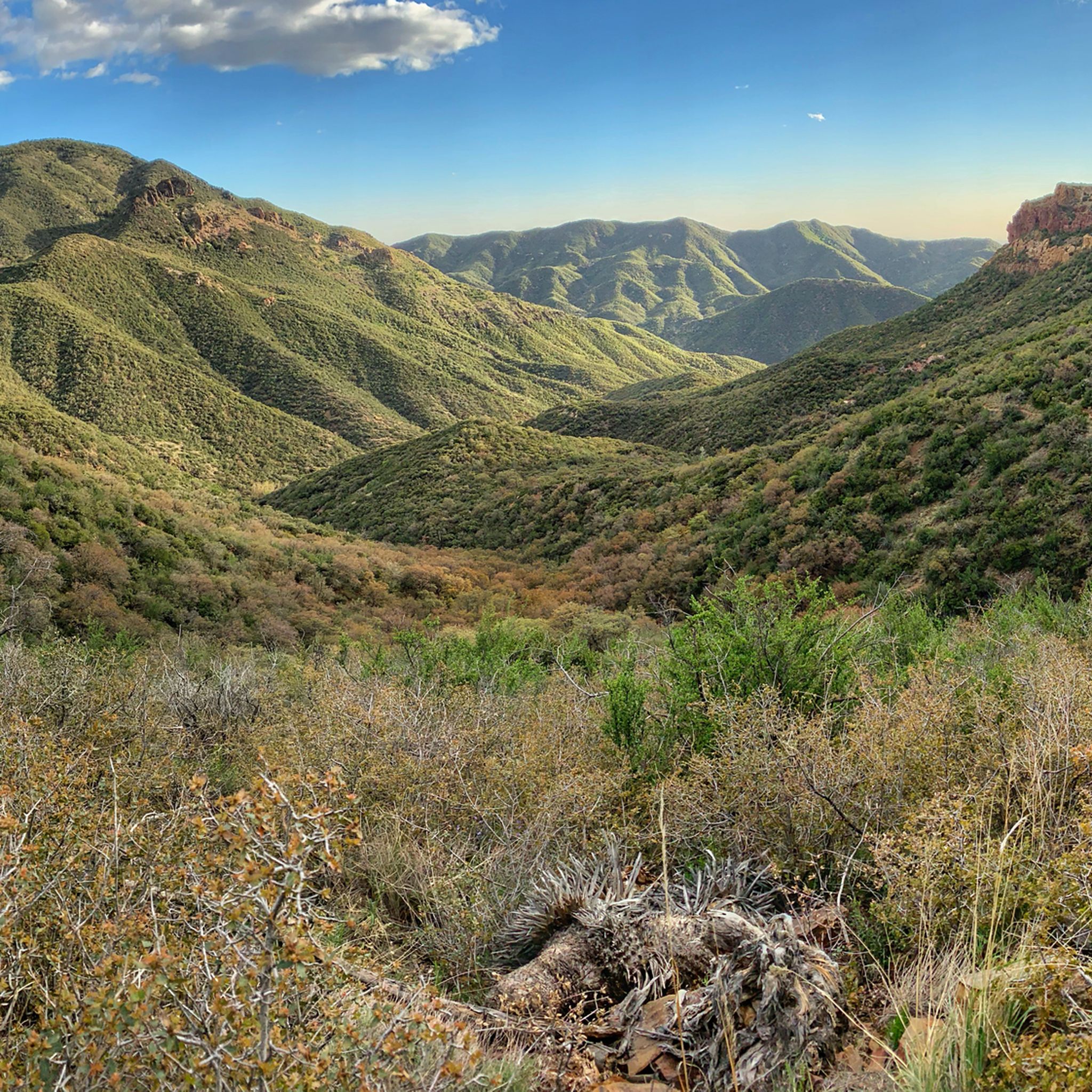
Hiking in Tonto National Forest
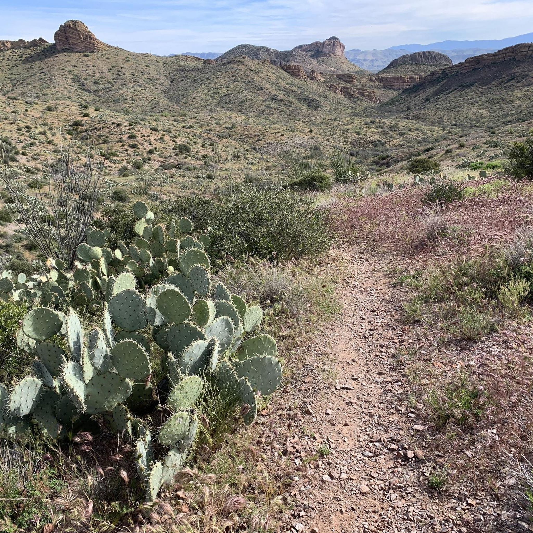
Running Trails in Tonto National Forest
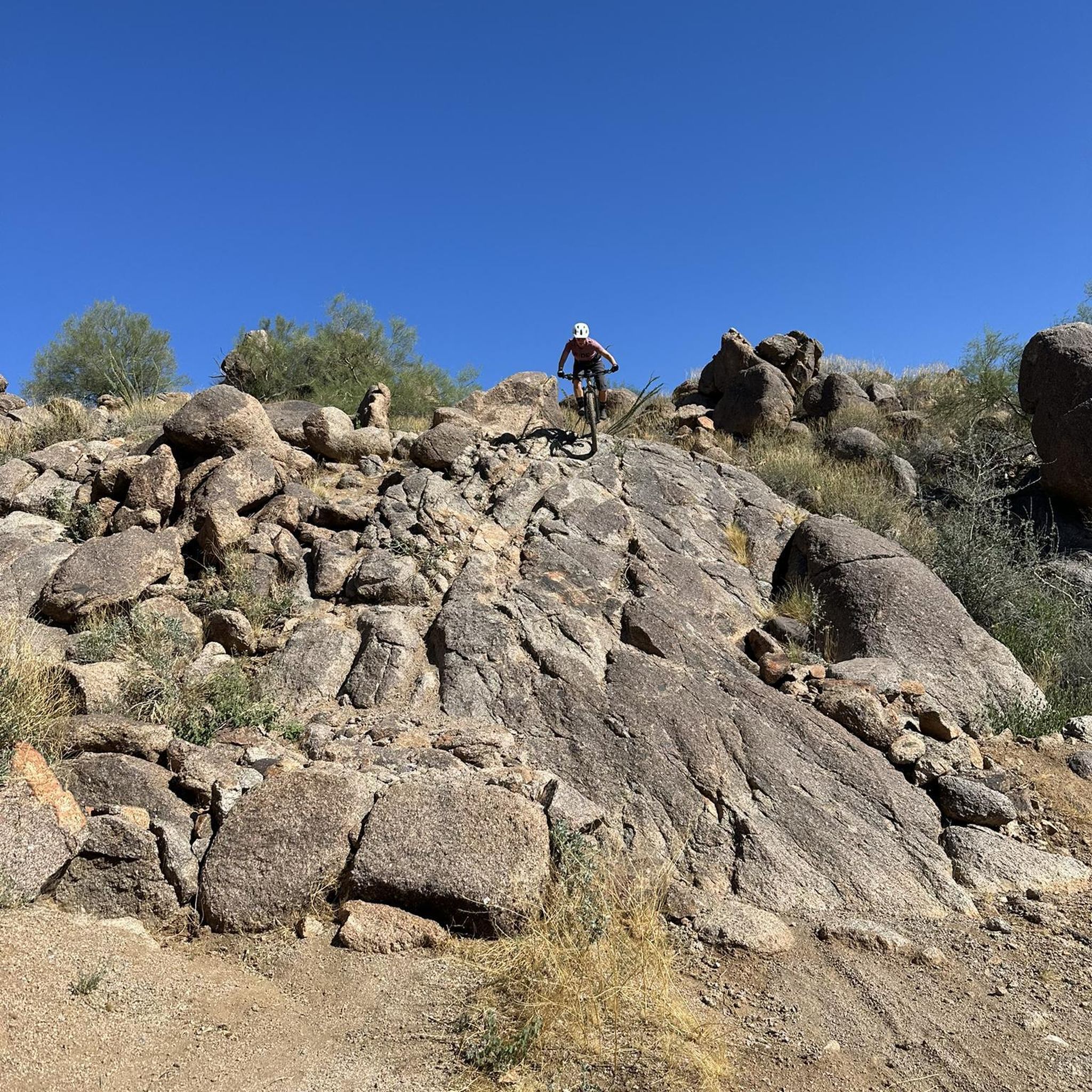
MTB Trails in Tonto National Forest
Other adventures in Tonto National Forest


Tips from the Community

Fun and smooth, the trail has lots of grip and generally rolls really fast. Perfect for almost all levels of riders with a few little rocky challenges to keep you on your toes.
0
0
The trail is fast rolling and generally you will find plenty of grip everywhere!
0
0

Maverick Trail is one of the smoother paths in the trail system and has a lot of open straightaways where you can pick up speed. Make sure to control your bike before you get to the few turns and blind bends because this trail is also open to foot traffic.
1
0

This is a fairly easy trail situated in the Granite Mountain Preserve. Along the way, you'll have the opportunity to appreciate desert vegetation, including cacti and wildflowers.
0
0

The Latigo Trail is a relatively flat easy trail with a few little hills and bumps to keep things interesting. However, the incredible desert scenery will keep you interested as you ride under the blue skies.
1
0
This area actively promotes the creation and conservation of scarce riparian (the interface between land and a river) areas. Abounding with lakes, it features paved paths and boardwalks along the waterfront, providing opportunities to observe a diverse range of wildlife.
1
0
The wetlands here area a vital resource for local wildlife & migratory birds. It's a good place to get off the bike and enjoy some quiet moments by the water.
0
0

Freestone Park became Gilbert’s first major district park. There are 88 developed acres and 32 undeveloped acres open to the public; the opening year was 1988. There are tons of amenities here, like picnic ramadas, playgrounds, equipment, lakes, basketball courts, sand volleyball pits, and even miniature trains. Hours are: 5:30 a.m.–10:00 p.m.
0
0
Frequently Asked Questions
How many gravel bike trails are available in Tonto National Forest?
Tonto National Forest offers over 20 gravel bike trails, catering to various skill levels. You'll find a mix of easy desert rides and more challenging mountain ascents across its diverse terrain.
What kind of terrain can I expect on gravel bike trails in Tonto National Forest?
The terrain in Tonto National Forest is incredibly diverse. You'll encounter saguaro cactus-studded Sonoran Desert at lower elevations, transitioning to pine-forested mountains beneath the dramatic Mogollon Rim. Many routes follow forest roads, offering rugged desert landscapes, lake views, and winding paths along rivers and canyons.
Are there any gravel bike routes suitable for beginners in Tonto National Forest?
Yes, Tonto National Forest has several routes suitable for beginners. For an easier ride through the Sonoran Desert, consider the View of Red Mountain loop from Schlechts Butte, which is 28.0 miles long and offers scenic desert views.
What are some challenging gravel bike routes for experienced riders?
Experienced riders looking for a challenge might enjoy the Humboldt Mountain loop from Wildcat Hill. This 29.9-mile route leads through varied desert and mountain landscapes with significant elevation changes, providing a demanding ride.
What is the best time of year for gravel biking in Tonto National Forest?
The best time for gravel biking in Tonto National Forest is generally during the cooler months, from fall through spring (October to April). During these periods, temperatures are more moderate, making rides more enjoyable. Summer can be very hot, especially at lower elevations, so early morning rides are recommended if biking during this season.
What should I bring for a gravel bike ride in Tonto National Forest?
Given the varied terrain and potential for remote sections, essential gear includes a helmet, riding gloves, a tool kit, extra tire tubes, a pump, and plenty of water. Sunscreen and appropriate clothing for changing weather conditions are also crucial, especially when transitioning between desert and higher elevations.
Are there any notable landmarks or attractions I can see along the gravel bike trails?
Yes, Tonto National Forest is rich with natural features and historical sites. You might encounter the dramatic Mogollon Rim, the Salt and Verde rivers, and the iconic Superstition Mountains. For specific attractions, consider visiting Tonto Natural Bridge State Park, home to the largest natural travertine bridge, or exploring the ancient cliff dwellings at Tonto National Monument. The Wave Cave is another unique natural highlight.
Can I find routes that offer views of the Salt River?
Absolutely. The Salt River winds through the forest, feeding several major reservoirs. A great option for river views is the Maricopa Trail in Tonto National Forest – Salt River loop from Schlechts Butte, a moderate 21.8-mile path that follows sections of the Maricopa Trail with scenic river vistas.
Are there any family-friendly gravel biking options?
While many forest roads are suitable for various skill levels, the Levee Trail – County Line Trail loop from Usery Mountain Regional Park offers a shorter, 11.4-mile ride that can be a good option for families looking for a less strenuous experience in the Sonoran Desert.
What do other gravel bikers enjoy most about Tonto National Forest?
The area is highly rated by the komoot community, with an average score of 4.8 stars. Reviewers often praise the diverse landscapes, from desert to pine forests, and the extensive network of forest roads that provide varied riding experiences. The stunning vistas and opportunities to explore unique natural features are frequently highlighted.
Are there any specific areas to look for wildlife while gravel biking?
Tonto National Forest is home to diverse wildlife. Along the lower Salt River, particularly near Coon Bluff and Pebble Beach, you might spot the free-roaming Salt River Wild Horses, especially in the early morning or late afternoon. The varied ecosystems also support a range of desert and mountain wildlife.
Are there any gravel biking routes that are loops?
Yes, many of the gravel biking routes in Tonto National Forest are designed as loops, allowing you to start and end at the same point. Examples include the View of Red Mountain loop from Schlechts Butte and the Humboldt Mountain loop from Wildcat Hill, providing convenient circular journeys.
Most popular routes in Tonto National Forest
Most popular attractions in Tonto National Forest

Get inspired with the komoot mobile app


