The best running trails in Tonto National Forest
5.0
(1)
149
runners
42
runs
Jogging in Tonto National Forest offers diverse running routes across Arizona's largest national forest, spanning nearly 2.9 million acres. The region transitions from the Sonoran Desert, characterized by cacti and rugged canyons, to the pine forests of the Mogollon Rim. This varied landscape includes the challenging terrain of the Superstition Mountains and scenic views around Roosevelt Lake and the Salt and Verde Rivers. The forest provides a wide range of environments for runners.
Best jogging routes in Tonto National Forest
…Last updated: July 7, 2026
6
runners
24.1km
03:31
1,270m
1,270m
Prepare for a challenging jogging experience on the Mount Ord Trail, a difficult route that spans 15.0 miles (24.1 km) and climbs a significant 4151 feet (1265 metres). You'll start…
6
runners
8.09km
01:02
180m
180m
Lace up your jogging shoes for the Butcher Jones Trail, a moderate route that takes you deep into the Sonoran Desert. As you cover its 5.0 miles (8.1 km), you'll…

Sign up for free
3
runners
14.4km
01:56
400m
400m
If you are looking for a challenging jogging route, the Miners Summit loop via Bluff Spring Canyon Trail offers a difficult 9.0 miles (14.4 km) with a significant elevation gain…
3
runners
4.58km
00:32
110m
110m
Embark on the Blue Wash Trail for a moderate jogging experience through the Sonoran Desert, covering 2.8 miles (4.6 km) with a 346 feet (106 metres) elevation gain. This route…
3
runners
19.0km
02:38
630m
630m
Prepare for a challenging jogging route on the Battleship Mountain and Boulder Canyon Trail Loop, a difficult 11.8-mile (19.0 km) journey through the Superstition Wilderness. You will gain a significant…
Get access to more routes and recommendations from other explorers.
Sign up for free
Already have an account?
Our route recommendations are based on thousands of hikes, rides, and runs completed by other people on komoot.
Start today with a free account
Your next adventure awaits.
Login or Signup
Popular around Tonto National Forest

Grand Enchantment Trail — Slot canyons, spruce peaks & desert solitude

Arizona Trail — A beautiful 800-mile struggle

Bikepack in America's southwest – deserts, cacti and Anasazi culture

The Arizona Trail — From Mexico to Utah in 43 days

Highline National Recreation Trail – The High Road around the Mogollon Rim
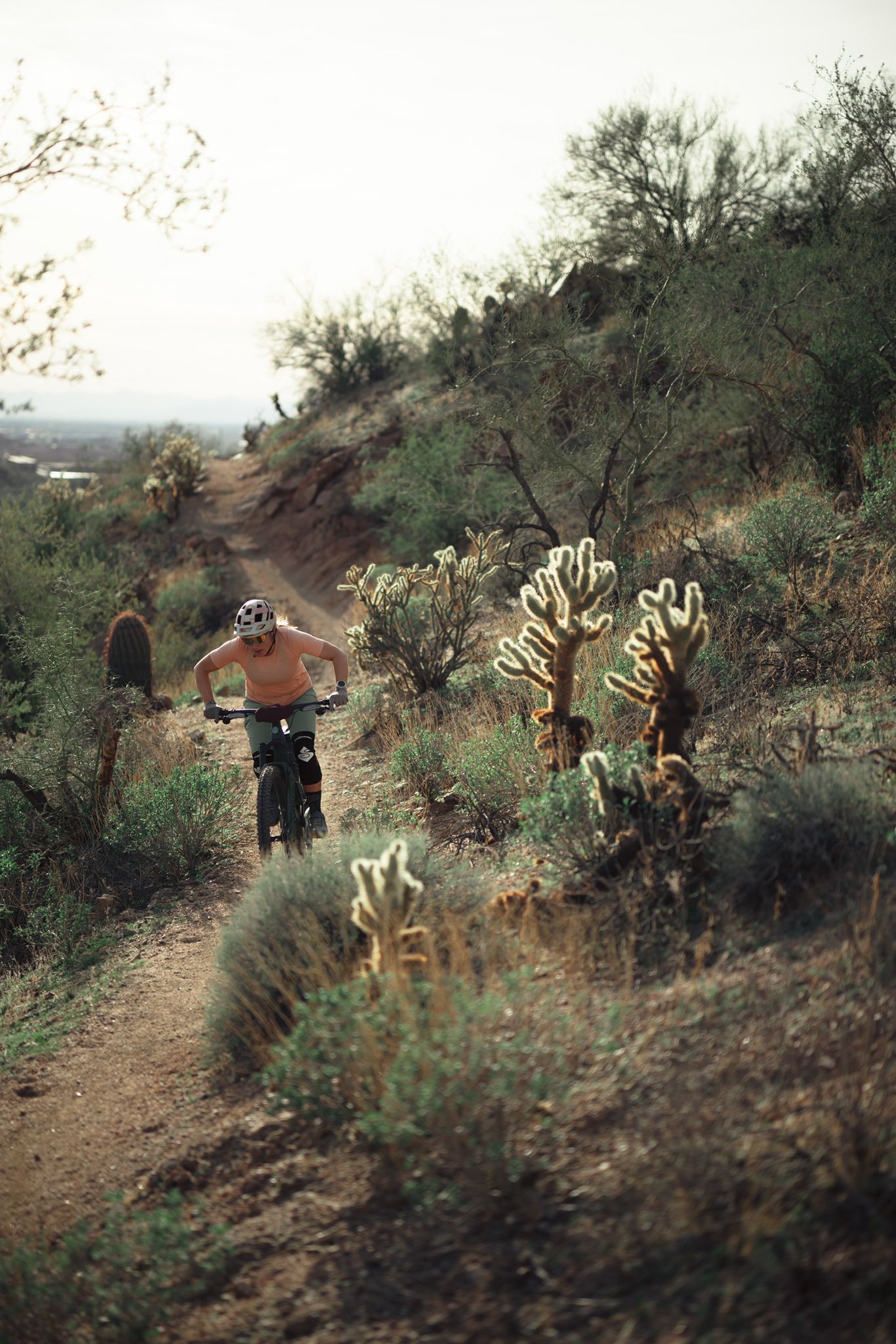
Riding the red rock desert from Phoenix, Arizona

MTB in cactus country – technical delicacies around Phoenix
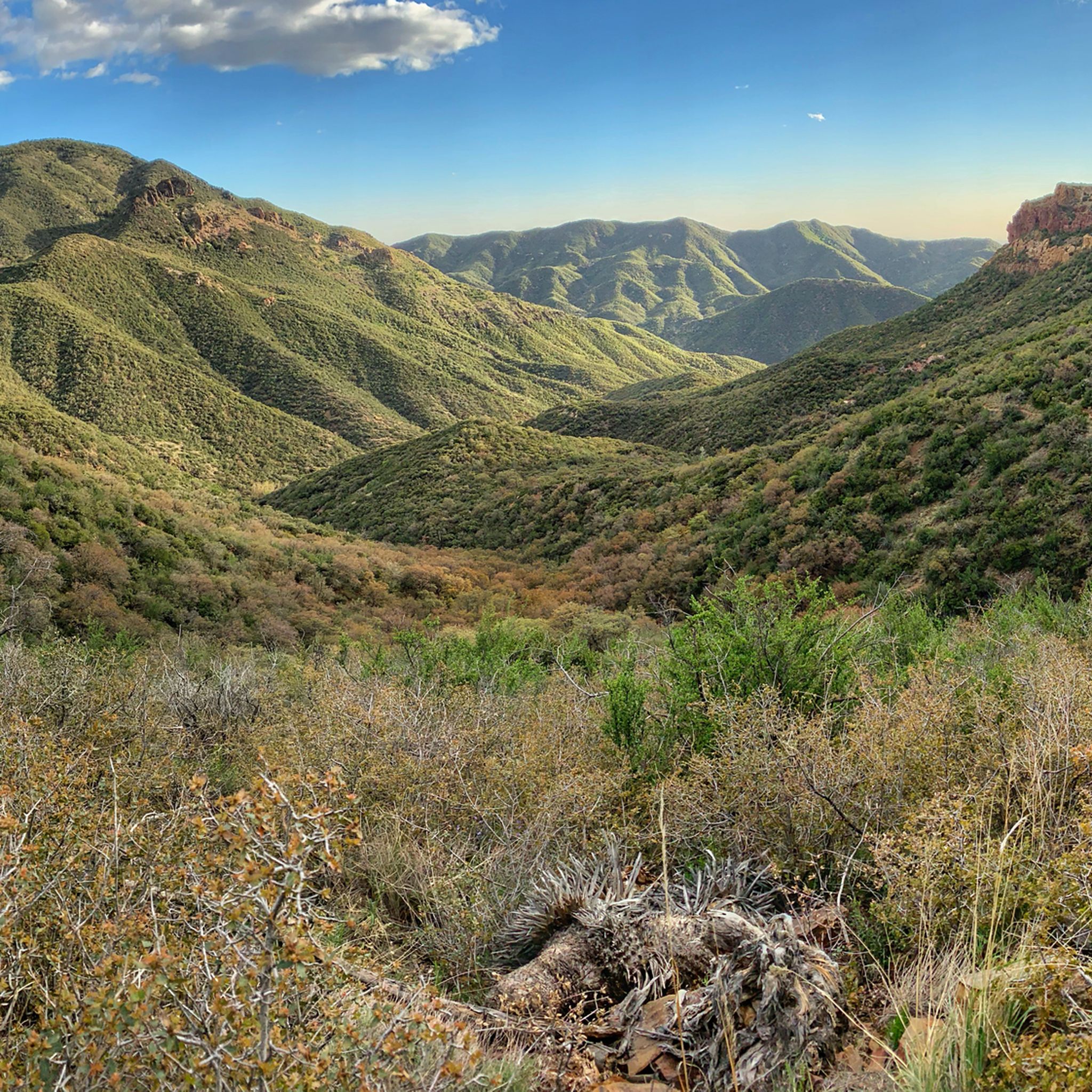
Hiking in Tonto National Forest
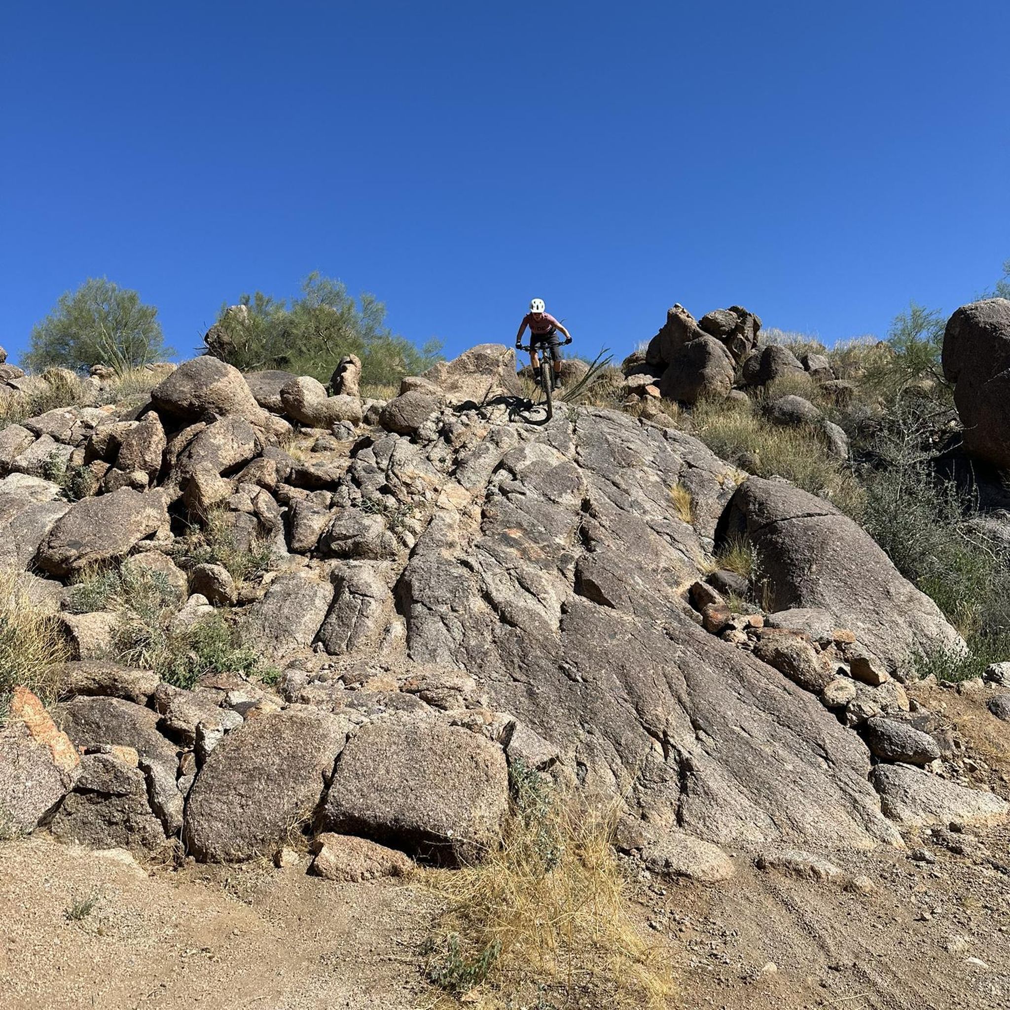
MTB Trails in Tonto National Forest
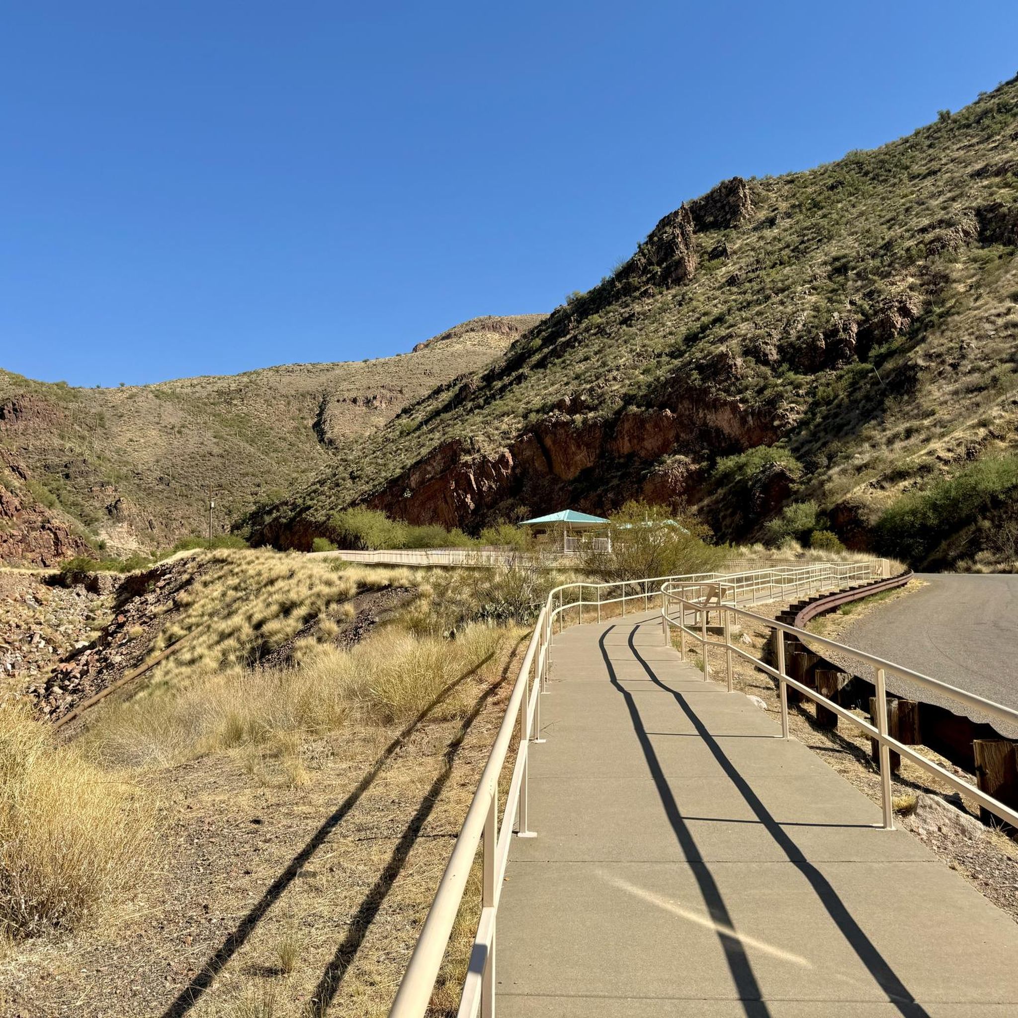
Cycling in Tonto National Forest
Other adventures in Tonto National Forest


Tips from the Community

A large, wild Saguaro cactus field. The Saguaro cactus is the largest cactus that grows in the United States. A normal height of a Saguaro is about 40 feet tall!
0
0

Mount Ord rises up to 7,128 feet and is one of the most accessible peaks in the area since there are a couple different service roads that take you to the summit. There is not much traffic on these roads, and you'll likely see more runners, hikers, and cyclists than vehicles. There is a lookout tower at the top, but it is closed to the public. That being said, the upper miles of the forest roads and the summit offer great views without having to climb the tower.
0
0
The entirety of the Butcher Jones Trail features overlooks of the Salt River and Saguaro Lake, but the best views are at the very end of the trail. This is a super popular trail that requires a fee to park at; you can easily pay the fee at the park or before getting there. Keep in mind that you'll see fewer people as you get further from the parking area.
0
0
The majority of the path up to Mount Ord is on an old forest service road. The road is smooth in spots and rough in others and is a fun mix of terrain for a mountain run. There are not a lot of super technical spots, so this trail makes for a really fast downhill.
0
0
If you are low on water and have a filter with you, you can try to grab some water from the stream at the La Barge Pool. Water sources are often seasonal in the Superstition Wilderness, so plan ahead with your water and hydration. The ranger station usually has information on water sources.
0
0
Boulder Canyon Trail is a super popular trail in the Superstition Wilderness. It connects to a bunch of the other wilderness trails in the area and offers access to Battleship Mountain. There are a couple small spur trails that lead to official overlooks on the trail, and once you run past the first overlook, you'll notice far fewer people on the trail.
0
0
The top of Battleship Mountain can be a little dicey and isn't for everyone. There are great views from the top, but you need to be comfortable with class 3 scrambling to be able to climb your way to the actual summit. A lot of people make the climb to the top, but there is also a really popular trail that just circumnavigates the base of this peak.
0
0
A large, wild Saguaro cactus field. The Saguaro cactus is the largest cactus that grows in the United States. A normal height of a Saguaro is about 40 feet tall!
0
0
Frequently Asked Questions
How many running routes are available in Tonto National Forest?
Tonto National Forest offers a wide variety of running experiences, with over 50 routes documented on komoot. These trails range from easy paths through the Sonoran Desert to challenging ascents in the Superstition Mountains.
Are there any easy running trails suitable for beginners or families?
Yes, Tonto National Forest has several easier options. While specific easy routes aren't detailed in the guide, the forest's diverse terrain includes paths suitable for various fitness levels. For a moderate option that's often enjoyed, consider the Butcher Jones Trail, which is 5.0 miles long and leads through desert flora along Saguaro Lake.
What are some good options for longer distance or more challenging runs?
For experienced runners seeking a challenge, Tonto National Forest delivers. The Mount Ord Trail is a difficult 15.0-mile route with significant elevation gain, offering panoramic views of lakes and mountains. Another demanding option is the Miners Summit loop via Bluff Spring Canyon Trail, a 9.0-mile loop through rugged Superstition Mountains terrain.
Are there any running routes that feature waterfalls or scenic water views?
Absolutely. The Tonto National Forest is home to several beautiful water features. You can explore the Blue Wash Trail, a 2.8-mile moderate route that leads towards Camp Creek Falls. Additionally, the Butcher Jones Trail offers scenic views of Saguaro Lake. For other natural water attractions, consider visiting Fossil Springs or Boulder Pools.
What kind of natural landscapes can I expect to see while running in Tonto National Forest?
The forest offers incredibly diverse landscapes. At lower elevations, you'll experience the iconic Sonoran Desert with its saguaro cacti and rugged canyons. As you gain elevation, the scenery transitions to cooler, pine-covered slopes and clear streams, especially towards the Mogollon Rim. The Superstition Mountains provide dramatic, rugged desert views.
Are there any loop running routes in the area?
Yes, loop routes are available for those who prefer not to retrace their steps. A notable challenging loop is the Miners Summit loop via Bluff Spring Canyon Trail, a 9.0-mile difficult path in the Superstition Mountains.
What is the best time of year to go running in Tonto National Forest?
The best time to run largely depends on the elevation. During cooler months (fall, winter, spring), the lower elevation Sonoran Desert trails are ideal. In the hotter summer months, the higher elevation areas, such as those near the Mogollon Rim with their pine forests and cooler temperatures, offer a refreshing alternative.
What are some notable landmarks or points of interest I might encounter on the trails?
Beyond the stunning natural beauty, you might encounter various points of interest. The forest is home to Arizona's largest lake, Roosevelt Lake, and is crisscrossed by the Salt and Verde Rivers. You can find scenic viewpoints like Inspiration Point - Arizona Trail, or historical sites like Goldfield Ghost Town nearby. The Roosevelt Lake Bridge is also a prominent feature.
Are there dog-friendly running trails in Tonto National Forest?
Many trails within Tonto National Forest are dog-friendly, but it's always recommended to check specific trail regulations before heading out. Generally, dogs are welcome on leash, allowing you to enjoy the diverse landscapes with your canine companion. Always ensure you carry enough water for both yourself and your dog, especially in the desert environment.
What do other runners say about the jogging routes in Tonto National Forest?
The running routes in Tonto National Forest are highly regarded by the komoot community. Over 250 runners have used komoot to explore the varied terrain, often praising the diverse landscapes, from the unique Sonoran Desert to the cooler pine forests, and the range of difficulty levels available.
Are there any permits required for running on trails in Tonto National Forest?
While general running on most trails does not require a specific permit, some areas within Tonto National Forest, particularly certain wilderness areas or developed recreation sites, may require a Tonto Pass or other fees for parking or access. It's advisable to check the official Tonto National Forest website or local ranger district for the most current information regarding permits and fees for your chosen trail.
Can I find trails that offer a mix of desert and mountain scenery?
Yes, Tonto National Forest is unique in its dramatic transition from the Sonoran Desert to higher elevation pine forests and rugged mountains. Many routes, especially those that climb from lower desert areas, will offer this blend, allowing you to experience both cacti-filled landscapes and more forested, mountainous views within a single run.
Most popular routes in Tonto National Forest
Most popular attractions in Tonto National Forest

Get inspired with the komoot mobile app


