The best road cycling routes in Tonto National Forest
4.1
(5)
1,003
riders
41
rides
Road cycling routes in Tonto National Forest traverse a diverse landscape, transitioning from the Sonoran Desert with Saguaro cacti to the pine forests of the Mogollon Rim. This region features elevations ranging from 1,300 to 7,900 feet, providing varied terrain for cyclists. Key features include the Salt and Verde rivers, which feed six major lakes, and rugged canyons like those found in the Superstition Mountains. The varied topography offers routes suitable for different skill levels, from gentle desert rides to…
Last updated: June 1, 2026
56.6km
03:03
1,030m
1,030m
Hard road ride. Very good fitness required. Mostly well-paved surfaces and easy to ride.
27.6km
01:33
610m
610m
Moderate road ride. Good fitness required. Mostly well-paved surfaces and easy to ride.

Sign up for free
31
riders
43.5km
02:34
630m
630m
Moderate road ride. Good fitness required. Some segments of this route may be unpaved and difficult to ride.
22
riders
44.8km
01:55
350m
350m
Moderate road ride. Good fitness required. Mostly well-paved surfaces and easy to ride.
26
riders
40.8km
01:59
600m
600m
Moderate road ride. Good fitness required. Mostly well-paved surfaces and easy to ride.
Get access to more routes and recommendations from other explorers.
Sign up for free
Already have an account?
Our route recommendations are based on thousands of hikes, rides, and runs completed by other people on komoot.
Start today with a free account
Your next adventure awaits.
Login or Signup
Popular around Tonto National Forest

Grand Enchantment Trail — Slot canyons, spruce peaks & desert solitude

Arizona Trail — A beautiful 800-mile struggle

Bikepack in America's southwest – deserts, cacti and Anasazi culture

The Arizona Trail — From Mexico to Utah in 43 days

Highline National Recreation Trail – The High Road around the Mogollon Rim
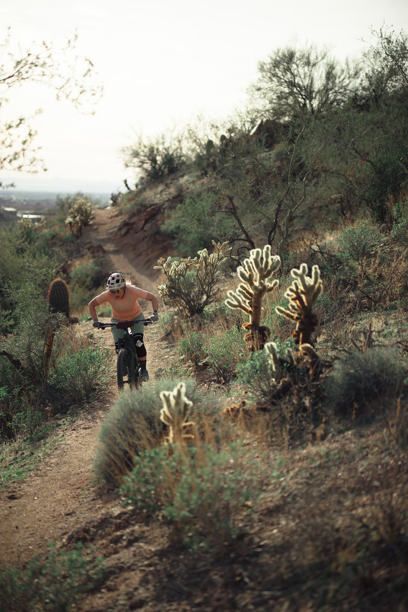
Riding the red rock desert from Phoenix, Arizona

MTB in cactus country – technical delicacies around Phoenix
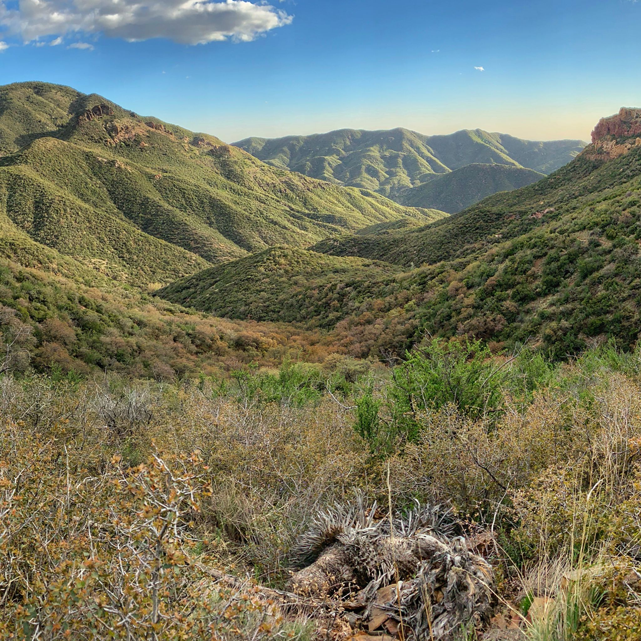
Hiking in Tonto National Forest
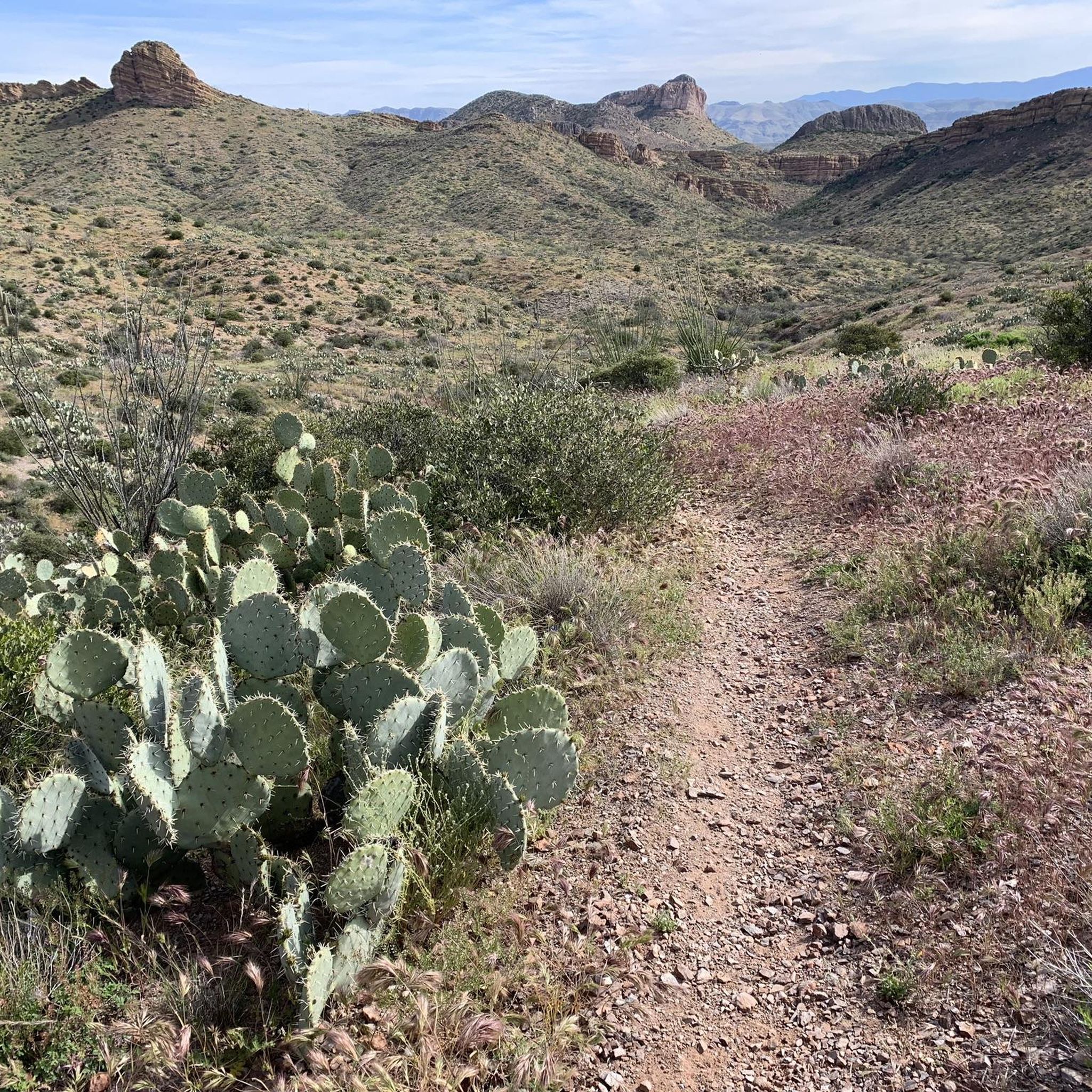
Running Trails in Tonto National Forest
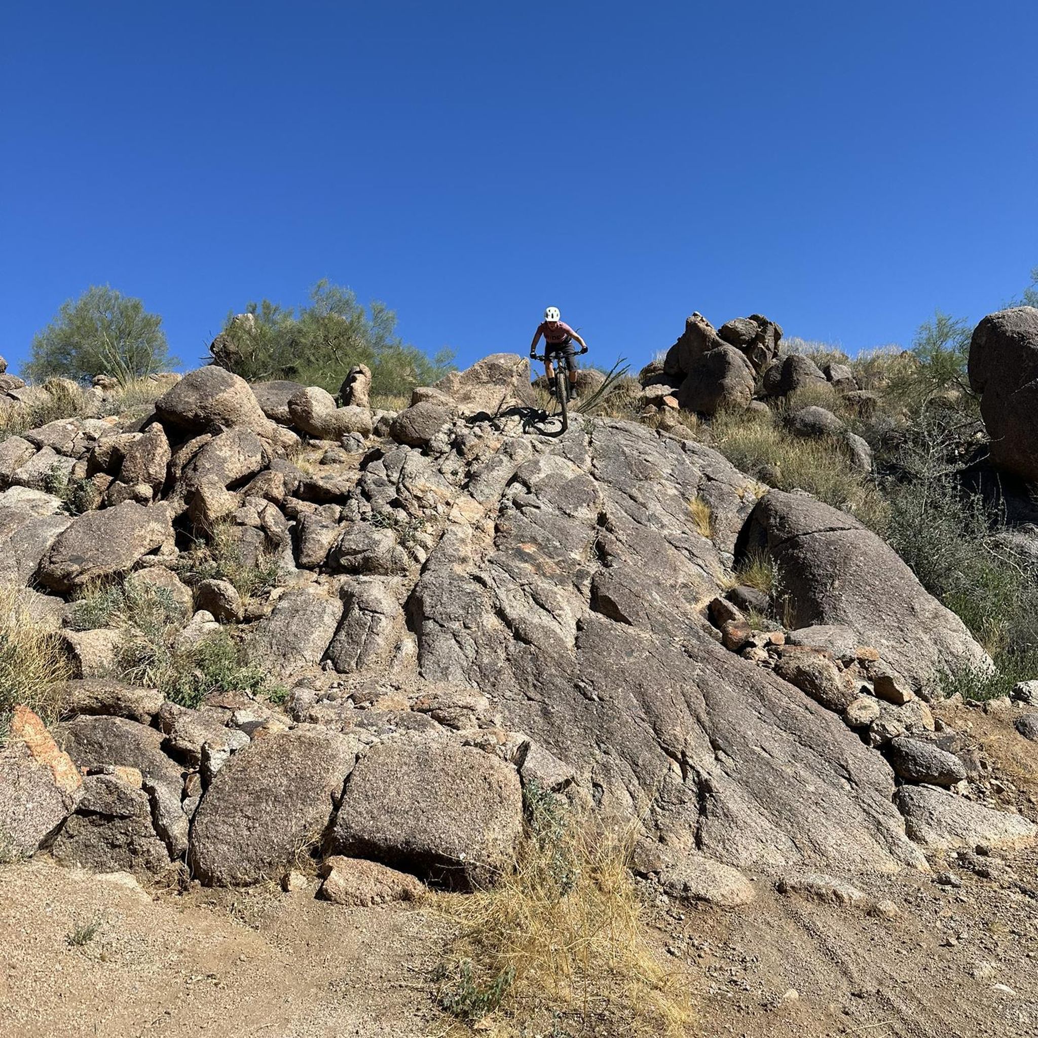
MTB Trails in Tonto National Forest
Other adventures in Tonto National Forest


Tips from the Community

Step back in time at Tortilla Flat. For two blocks along State Route 88 you'll find a number of historic buildings doing their best to serve as a set for a Western movie. This is a good spot to get a drink and something to eat before getting back on your bike.
0
0

This ride is amazing in many ways... Access to great climbing, access to great hiking right across from the lake, and of course accesss to one of the best rides in AZ - Tortilla Flats..!
0
0
Canyon Lake is a real oasis in the desert. The 950-acre lake sparkles under the Arizona sun like a jewel plucked from a crown, and here, at the marina, you'll find a general store, campground, and a chance to rent all sorts of watercraft or go for a cruise on the Dolly Steamboat.
0
0

Tortilla Flat is a small touristy place located at the historic Apache Trail. You can grab a bite at the restaurant an have a look into the museum, the gift shop and general store. There is even a post office! Many tales are told about the history of this place that is surrounded by the Superstition Mountains where people are still searching for the legendary gold of the Lost Dutchman. Read for yourself: https://www.tortillaflataz.com/our-history
2
0
Highway 177 runs through the rugged Arizona mountains between Superior and Winkelman. The northern stretch is more mountainous, with plenty of climbs and descents. While the southern portion mainly follows along the path of the Gila River.
0
0
From here you can head down Centurian Lane to access the Gila River, or continue on across the Kelvin Bridge. Take note that there is a public water fountain nearby, it's poking through the fence on the north side of the heavy vehicle parking area.
0
0
Superior lives in a place between the past and present. You'll find elements of its mining roots dotted around the area and you can also use it as a base for the numerous outdoor adventures the modern town has embraced.
1
0
Highway 60 winds its way between Superior and Miami, Arizona. Originally opened in the early 1920's the old highway was replaced in the 1950's to its current route. Along the way you'll be treated to amazing scenery and glimpses of the old highway lying further down the canyon.
0
0
Frequently Asked Questions
How many road cycling routes are available in Tonto National Forest?
Tonto National Forest offers a wide selection of road cycling routes, with over 30 options available. These routes cater to various skill levels, from moderate desert rides to challenging climbs.
Are there road cycling routes suitable for beginners or those seeking an easier ride?
Yes, Tonto National Forest has routes suitable for beginners. There are 12 easy routes available, often featuring mostly paved surfaces and gentler elevation changes. For example, the "West Usery Mountain Regional Park loop" is an easy, mostly paved 7.7-mile ride through the Sonoran Desert.
What kind of challenges can I expect on road cycling routes in Tonto National Forest?
The diverse terrain of Tonto National Forest provides varying degrees of challenge. While there are 17 moderate routes, you'll also find 3 difficult routes with significant climbs and descents. Routes like Superior to Gila River via Arizona Highway 177, a 35.2-mile trail with over 1000 meters of elevation gain, offer a substantial workout. The "Apache Junction Tonto National Forest Loop" is another significant 278.6 km ride that is 99% paved and features substantial climbs and descents.
Are there any scenic loop routes for road cycling in the area?
Yes, Tonto National Forest features several scenic loop routes. A popular option is the Roadbike loop from Bel Canto at Mirabel, a 34.7-mile trail through desert landscapes. Another is the View of Rock Pinnacle – Boulder Creek Bridge loop from Crosscut Trail Head, which offers impressive vistas.
What are some notable natural attractions or landmarks I might see while cycling?
Road cycling routes in Tonto National Forest offer breathtaking views of the Sonoran Desert, Saguaro cacti, and the rugged Superstition Mountains. You might also encounter the Salt and Verde rivers, which feed six major lakes like Canyon Lake and Saguaro Lake. For specific natural highlights, consider visiting Mogollon Rim for spectacular panoramic views or Weaver's Needle, a distinctive rock formation.
Are there any waterfalls or unique geological formations to explore near the cycling routes?
Yes, Tonto National Forest is home to unique natural features. While cycling, you might be near areas with seasonal waterfalls. For example, highlights like Camp Creek Falls and Boulder Pools are within the forest. The region also boasts Tonto Natural Bridge State Park, which features the largest natural travertine bridge on Earth.
What is the best time of year to go road cycling in Tonto National Forest?
The diverse elevations in Tonto National Forest mean conditions vary. Lower elevations in the Sonoran Desert can be very hot, especially in summer. For comfortable cycling, spring and fall generally offer milder temperatures. Cyclists should always be prepared for heat, carry plenty of water, sunscreen, and safety equipment.
What should I bring for a road cycling trip in Tonto National Forest?
Given the varied terrain and potential for heat, it's crucial to carry plenty of water, sunscreen, and essential safety equipment. This includes a helmet, a basic tool kit, and extra tire tubes. Be prepared for changing conditions, especially if ascending to higher elevations.
Are there any specific rules or permits required for road cycling in Tonto National Forest?
Road cycling is a recognized recreational activity within Tonto National Forest. While specific permits for general road cycling are typically not required, it's always advisable to check the official Tonto National Forest website for the most current regulations, especially concerning specific areas or events. Note that bicycles are generally not permitted in federally designated wilderness areas within the forest.
What do other road cyclists appreciate most about cycling in Tonto National Forest?
The area is highly rated by the komoot community, with an average score of 3.5 stars from over 4 reviews. Reviewers often praise the diverse landscape, which transitions from the Sonoran Desert to pine forests, and the stunning vistas of the Superstition Mountains and various lakes. The availability of routes for different skill levels is also frequently highlighted.
Can I find cafes or other amenities near the road cycling routes?
While Tonto National Forest is a vast natural area, some routes may pass near small towns or communities where you can find cafes or other amenities. It's recommended to plan your route in advance and check for available services along your chosen path, as some areas may be remote.
Is parking available at the trailheads for road cycling routes?
Parking is generally available at designated trailheads and access points throughout Tonto National Forest. However, specific parking availability can vary by route and location. It's advisable to research the starting point of your chosen route to confirm parking options before your ride.
Are there any challenging climbs for experienced road cyclists?
Absolutely. For experienced road cyclists seeking significant climbs, routes like Superior to Top-of-the-World via Highway 60 offer notable ascents. The "Apache Junction Tonto National Forest Loop" is also known for its substantial climbs and descents, providing a rigorous challenge for well-conditioned riders.
Most popular routes in Tonto National Forest
Most popular attractions in Tonto National Forest

Get inspired with the komoot mobile app


