The best cycling routes in Tonto National Forest
4.6
(10)
604
riders
20
rides
Touring cycling in Tonto National Forest offers diverse landscapes, transitioning from the Sonoran Desert to higher-altitude pine forests. The region spans nearly 2.9 million acres, featuring towering saguaro cacti, rugged mountains, and significant bodies of water. Cyclists can explore varied terrain, including desert vistas, riparian areas along the Salt and Verde Rivers, and views of the Mogollon Rim.
Best touring cycling routes in Tonto National Forest
- The most popular touring cycling route is West Usery Mountain Regional Park loop, an easy 7.7 miles (12.4 km) trail that takes about 1 hour to complete. This route offers views through the Sonoran Desert.
- Another top favourite among local touring cyclists is North Bush Highway to Saguaro Lake, a moderate 10.3 miles (16.5 km) path. This route provides desert vistas leading to Saguaro Lake views.
- Local touring cyclists also love the Burnt Corral to Roosevelt Lake Marina loop, a 14.4 miles (23.2 km) trail leading through rugged desert terrain, often completed in about 2 hours 30 minutes.
- Touring cycling in Tonto National Forest is defined by Sonoran Desert landscapes, the Mogollon Rim, and numerous lakes and rivers. The network offers options for various ability levels, from easy desert loops to more challenging routes with significant elevation gain.
- The routes in Tonto National Forest are highly rated by the komoot community with an average score of 4.7 stars from more than 10 reviews. More than 700 touring cyclists have used komoot to explore Tonto National Forest's varied terrain.
Last updated: July 7, 2026
1
riders
12.4km
00:57
110m
110m
Easy bike ride. Great for any fitness level. Mostly paved surfaces. Suitable for all skill levels.
16.5km
01:05
200m
200m
Moderate bike ride. Good fitness required. Mostly paved surfaces. Suitable for all skill levels.

Sign up for free
23.2km
02:29
760m
760m
Hard bike ride. Very good fitness required. Mostly paved surfaces. Suitable for all skill levels.
13
riders
47.5km
03:55
1,060m
1,060m
Hard bike ride. Very good fitness required. Mostly paved surfaces. Suitable for all skill levels.
11
riders
19.5km
01:44
150m
150m
Moderate bike ride. Good fitness required. Mostly paved surfaces. Suitable for all skill levels.
Get access to more routes and recommendations from other explorers.
Sign up for free
Already have an account?
Our route recommendations are based on thousands of hikes, rides, and runs completed by other people on komoot.
Start today with a free account
Your next adventure awaits.
Login or Signup
Popular around Tonto National Forest

Bikepack in America's southwest – deserts, cacti and Anasazi culture

Grand Enchantment Trail — Slot canyons, spruce peaks & desert solitude

Arizona Trail — A beautiful 800-mile struggle

The Arizona Trail — From Mexico to Utah in 43 days

Highline National Recreation Trail – The High Road around the Mogollon Rim
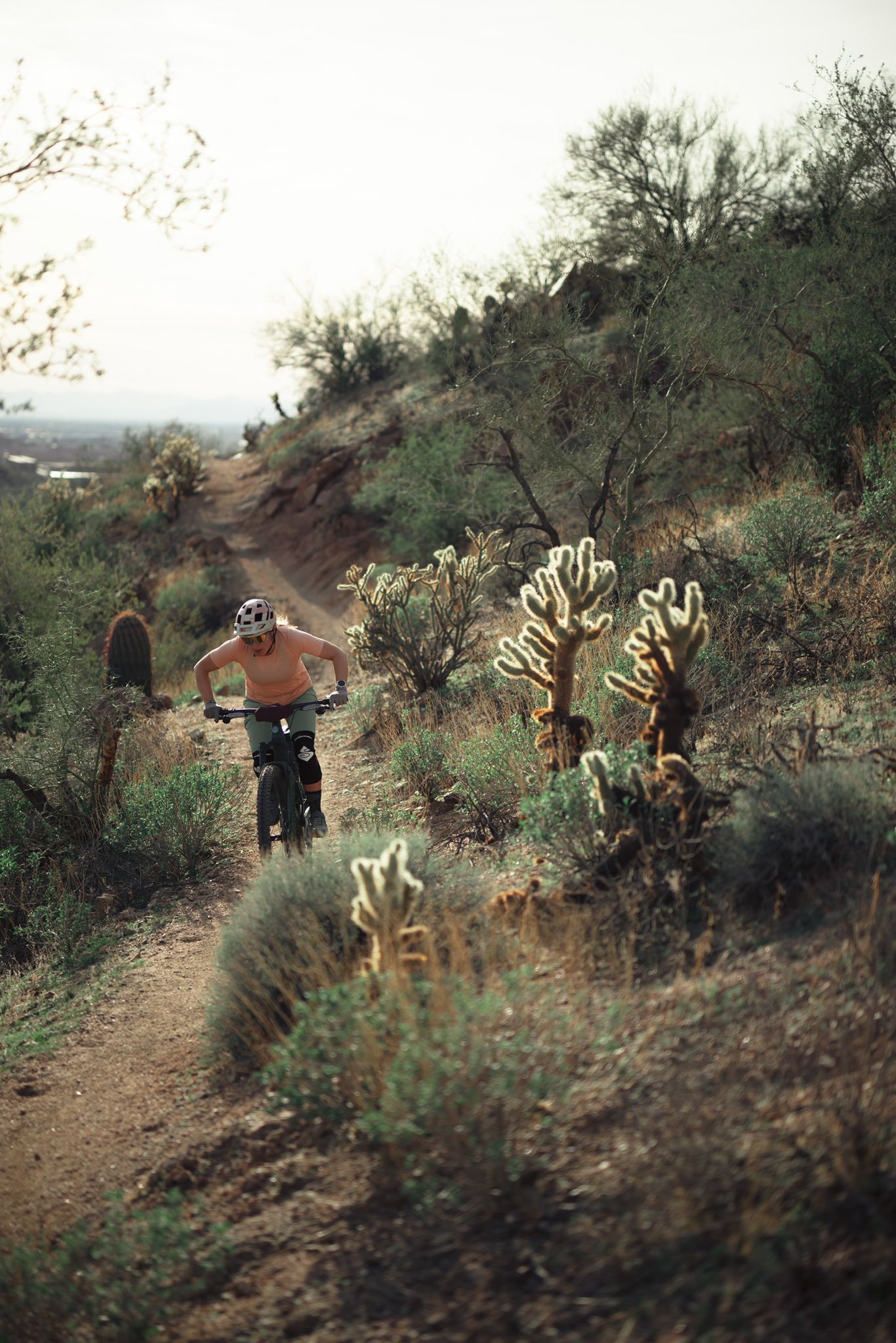
Riding the red rock desert from Phoenix, Arizona

MTB in cactus country – technical delicacies around Phoenix
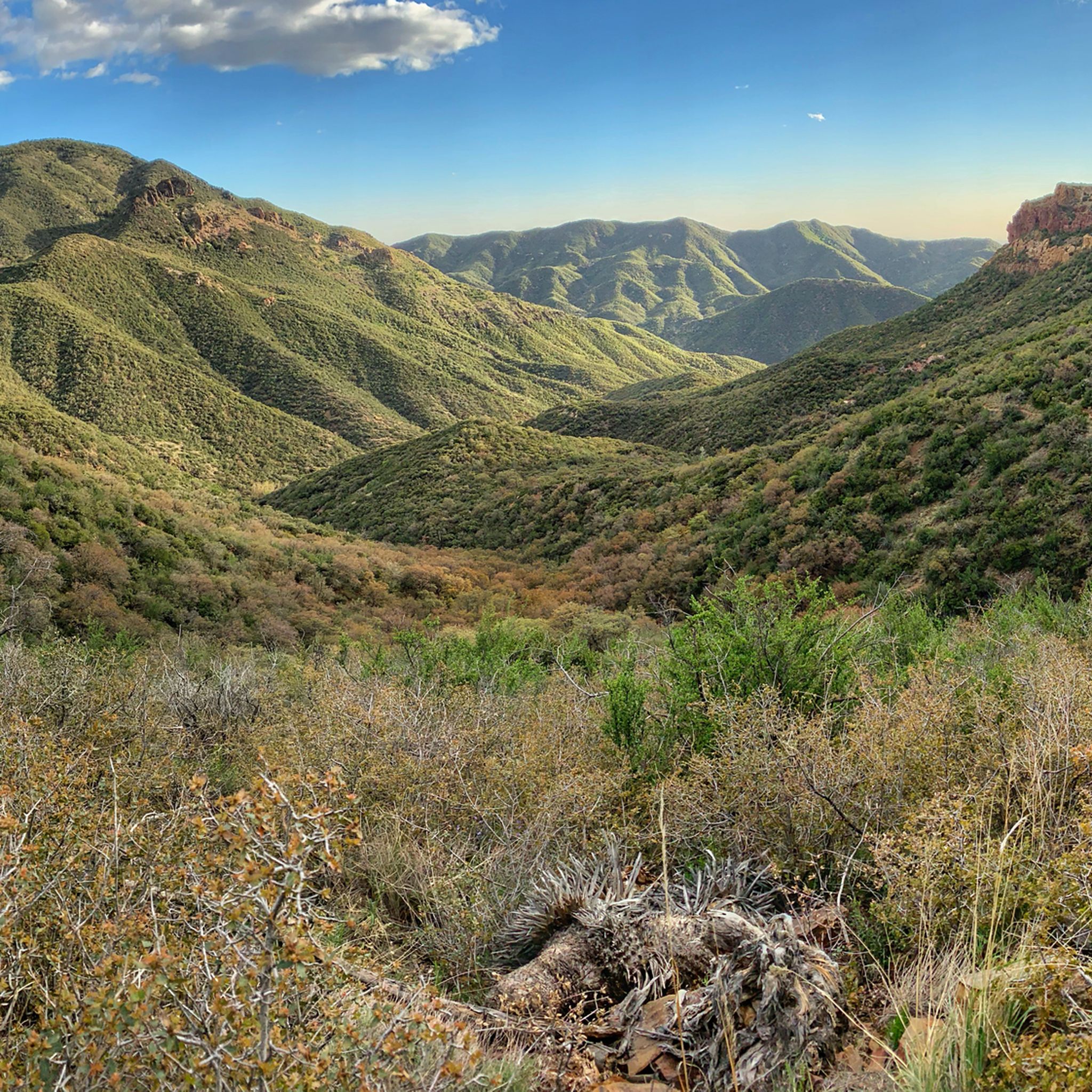
Hiking in Tonto National Forest
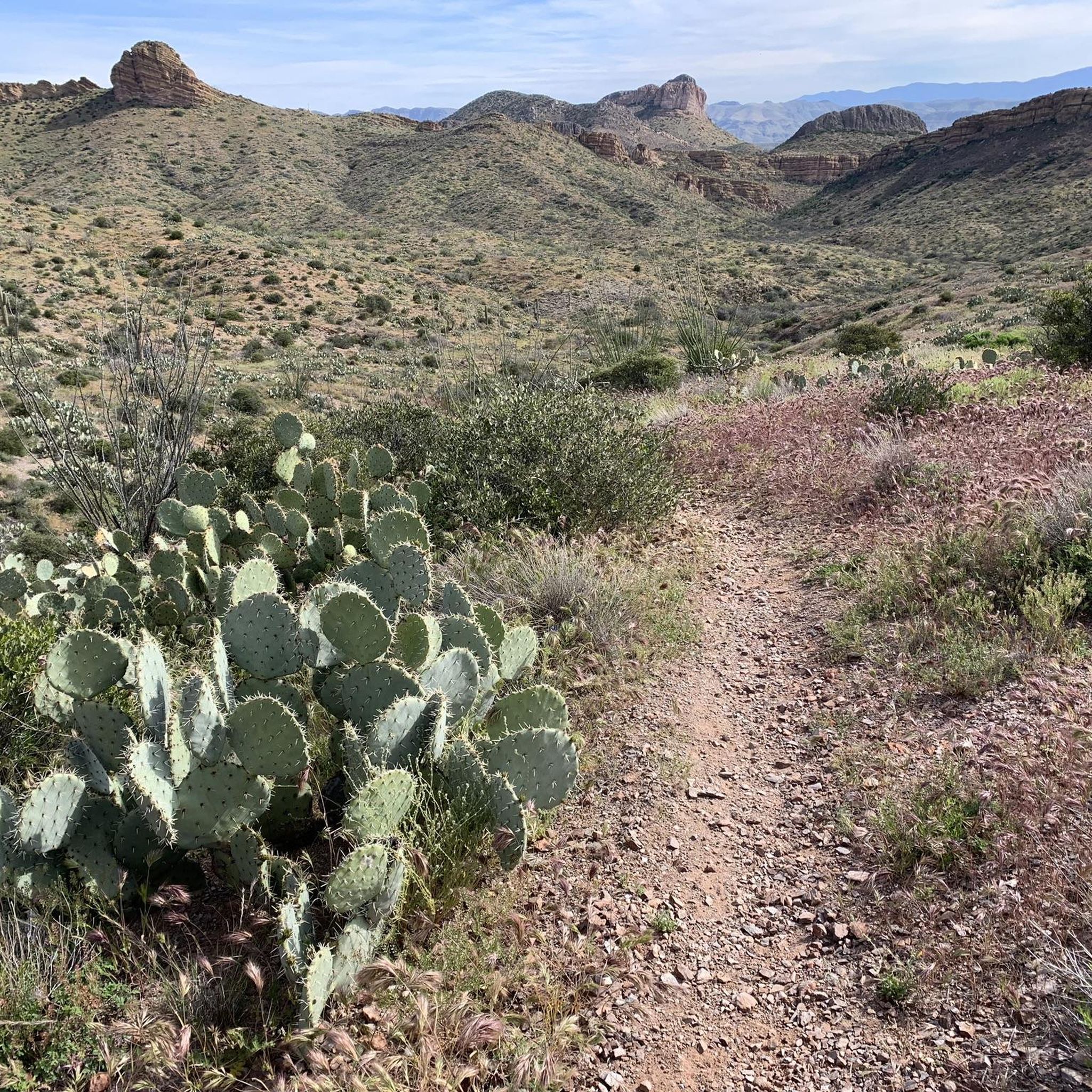
Running Trails in Tonto National Forest
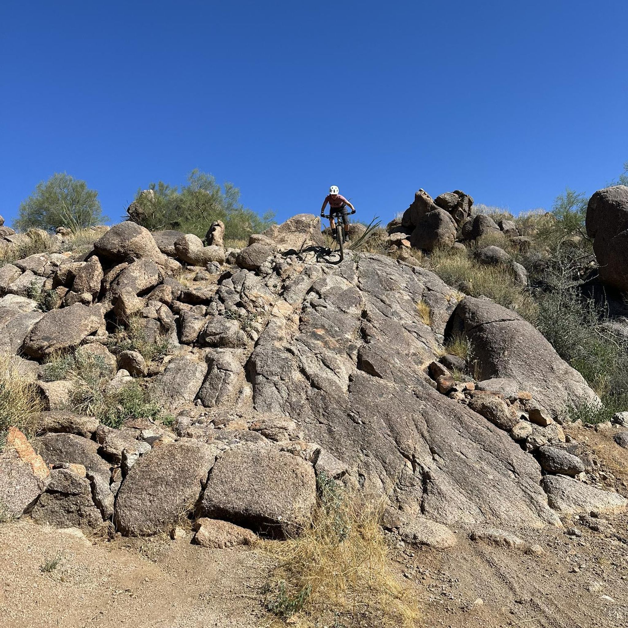
MTB Trails in Tonto National Forest
Other adventures in Tonto National Forest


Tips from the Community

The natural wonder that is Balanced Rock is one of the most photographed locations in the McDowell Preserve. You'll need to keep an eye out for other trail users, which makes this a great place to stop and have a water/snack break before continuing your ride.
0
0

The Burnt Corral Picnic and Camping Area is just down the road heading west of this parking lot. There are amenities here, and there is a lot of parking. This park on the Salt River is much larger, so it is called Apache Lake.
0
0
At this overlook, there is a parking lot and a short walking trail to get a really good look at the Theodore Roosevelt Dam. The building began over 100 years ago, in 1903, just below the joining of Tonto Creek and the Salt River. It's a large damn with a height of 357 ft (109 m), a length of 1,210 ft (369 m), and a width of 21.6 ft (6.6 m) at the widest point.
0
0
Inspiration Point Interpretive Overlook is a pullout from Highway 88 with an impressive view of man-made feats in a beautiful natural desert setting. 1) Views of both the longest two-lane inverted arch suspension bridges in America 3) Views of the largest lake in central Arizona 2) When the water in the lake is low, view the back of the original masonry structure that made Roosevelt Dam.
0
0
Roosevelt Lake Marina is a full-service marina on the south side of Roosevelt Lake. Theodore Roosevelt Lake is 21,500 acres of water in size and encompasses 128 miles of sandy shoreline and crystal-clear water. Here, you can grab a burger and enjoy a refreshing waterfront break.
0
0
Pebble Beach has a ton of parking, lots of shaded picnic areas, and beach access along the Salt River. The Beach is a popular inner tube starting and take-out point. Keep in mind that the restrooms are only accessible restrooms available from April 15 to October 14.
0
0
Saguaro Lake is a reservoir along the course of the Salt River. Just off of the highway you'll find the Marina which has a restaurant, store, and other amenities. It's a good place to pull in on your ride if you need food or water.
0
0
Moon Rock Trail is a hiking and mountain biking trail but one of the easier gravel rides, being smooth with packed dirt, being described as "flowing easy singletrack" and tral with great scenery and round smooth "moon rocks" all around this landscape.
0
0
Frequently Asked Questions
How many touring cycling routes are available in Tonto National Forest?
Tonto National Forest offers a wide variety of touring cycling routes, with nearly 100 options available. These routes cater to different skill levels, including 36 easy, 45 moderate, and 17 difficult trails, ensuring there's something for every cyclist.
What is the best time of year for touring cycling in Tonto National Forest?
The best time for touring cycling in Tonto National Forest is typically during the cooler months, from late fall through early spring (October to April). During these periods, temperatures are more moderate, making desert rides more enjoyable. Summer months can be extremely hot, especially in lower desert elevations, so early morning rides or exploring higher-altitude areas like the Mogollon Rim are advisable.
What kind of terrain can I expect on touring cycling routes in Tonto National Forest?
Touring cycling in Tonto National Forest offers incredibly diverse terrain. You can expect to traverse classic Sonoran Desert landscapes with towering saguaro cacti, as well as ascend to cooler, pine-covered areas near the Mogollon Rim. Routes vary from mostly paved paths to unpaved sections, with elevation gains ranging from gentle inclines to more challenging climbs, such as the 757 m ascent on the Burnt Corral to Roosevelt Lake Marina loop.
Are there family-friendly touring cycling routes in Tonto National Forest?
Yes, Tonto National Forest has several family-friendly touring cycling routes. Many of the easy routes are suitable for families, offering relatively flat terrain and shorter distances. A great option is the West Usery Mountain Regional Park loop, an easy 7.7-mile trail that provides scenic views through the Sonoran Desert without significant elevation changes.
What natural landmarks or attractions can I see while touring cycling in Tonto National Forest?
Tonto National Forest is rich in natural landmarks. While cycling, you might encounter dramatic views of the Superstition Mountains, the vast expanse of Roosevelt Lake (Arizona's largest), or the picturesque Saguaro Lake. You can also explore unique geological formations like the Tonto Natural Bridge State Park, which features the world's largest natural travertine bridge. For stunning vistas, consider routes that offer views of the Mogollon Rim.
Are there any historical sites or points of interest accessible by bike?
Yes, Tonto National Forest offers historical and cultural sites that can be explored. While some may require a short detour from cycling routes, you can find attractions like the Tonto National Monument, preserving ancient cliff dwellings, and Goldfield Ghost Town, which offers a glimpse into Arizona's mining history. The historic Apache Trail Scenic Drive also traverses parts of the forest, offering stunning vistas and access to various points of interest.
Are there circular touring cycling routes in Tonto National Forest?
Yes, Tonto National Forest features several circular touring cycling routes, perfect for those who prefer to start and end their ride in the same location. Examples include the easy West Usery Mountain Regional Park loop and the more challenging Burnt Corral to Roosevelt Lake Marina loop, which offers rugged desert terrain and lake views.
What are the parking options for touring cyclists in Tonto National Forest?
Parking is generally available at trailheads, regional parks, and designated recreation sites throughout Tonto National Forest. Specific parking availability can vary by route, so it's always recommended to check the starting point of your chosen route for detailed parking information. Some areas may require a Tonto Pass or other permits, so plan ahead.
Can I expect to see wildlife while touring cycling in Tonto National Forest?
Absolutely! Tonto National Forest's diverse ecosystems provide excellent opportunities for wildlife spotting. Cyclists often report sightings of the famous Salt River wild horses, javelina, and a wide variety of bird species. Keep an eye out, especially during dawn and dusk, and remember to observe wildlife from a respectful distance.
What do other touring cyclists say about their experience in Tonto National Forest?
The touring cycling routes in Tonto National Forest are highly rated by the komoot community, with an average score of 4.7 stars from over 10 reviews. More than 700 touring cyclists have explored the area using komoot, often praising the diverse landscapes, from the vibrant Sonoran Desert to the scenic lake views, and the variety of routes suitable for different fitness levels.
Are there touring cycling routes for beginners in Tonto National Forest?
Yes, beginners will find several accessible touring cycling routes in Tonto National Forest. Many of the 36 easy routes are ideal for those new to touring cycling or looking for a relaxed ride. The West Usery Mountain Regional Park loop is a popular easy option, offering a 7.7-mile ride through the Sonoran Desert with minimal elevation gain.
What amenities are available near the touring cycling routes?
Amenities near touring cycling routes in Tonto National Forest vary depending on the specific location. Areas closer to towns like Apache Junction, Payson, or Globe may offer cafes, restaurants, and supply stores. Near major lakes like Roosevelt, Saguaro, and Canyon Lake, you'll often find marinas with facilities, rest stops, and sometimes even small shops. Always carry ample water, especially in the desert, as services can be sparse on more remote routes.
Most popular routes in Tonto National Forest
Most popular attractions in Tonto National Forest

Get inspired with the komoot mobile app


