The best gravel rides in Prescott National Forest
5.0
(3)
56
riders
11
rides
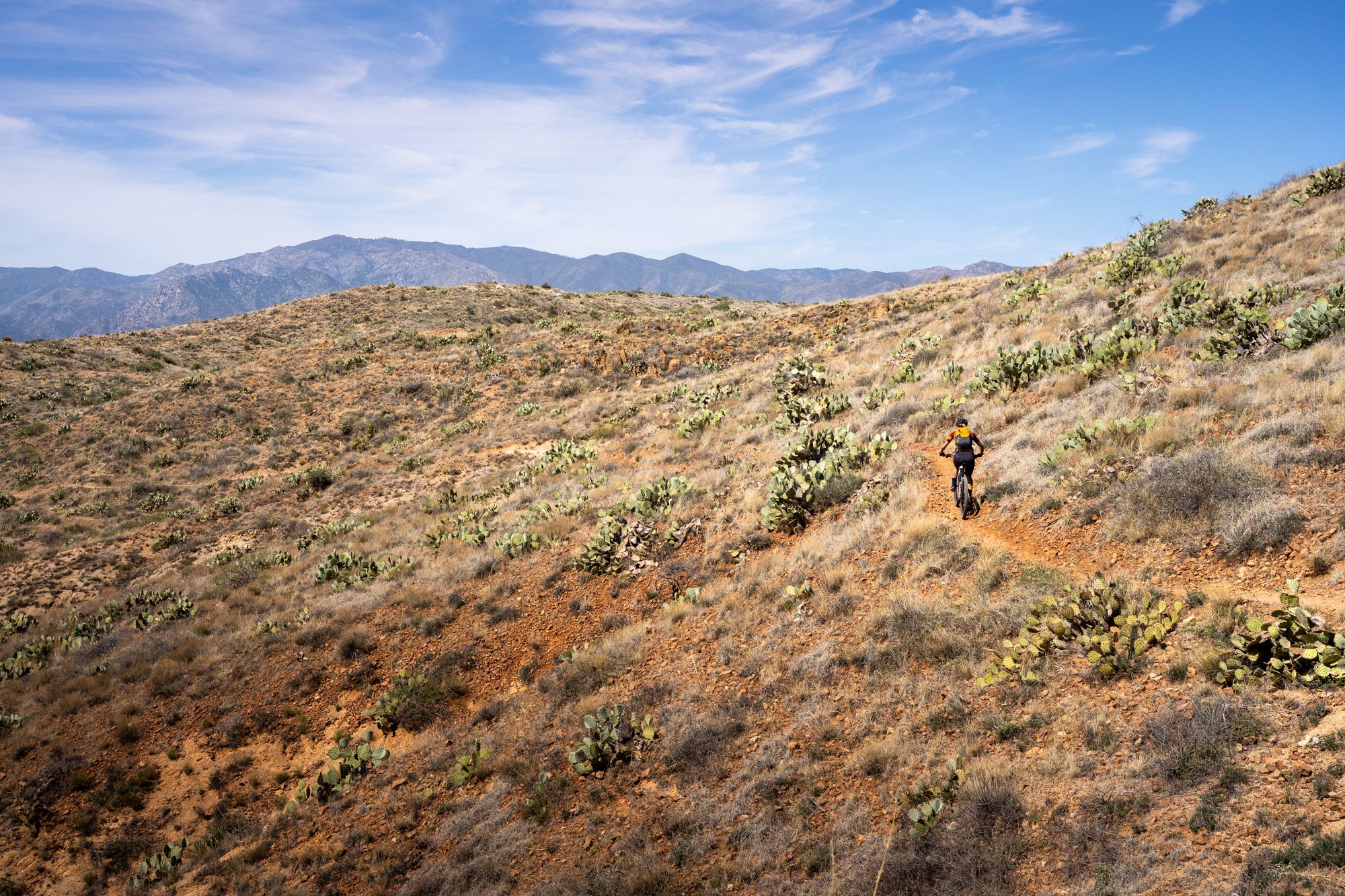
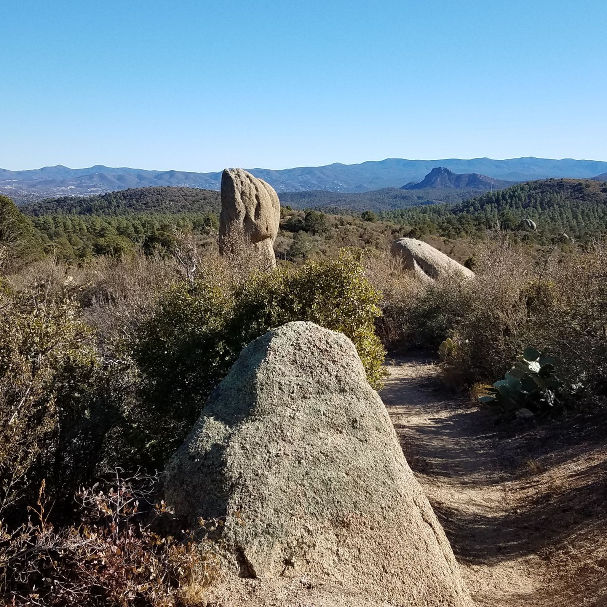
Gravel biking in Prescott National Forest features diverse landscapes, transitioning from Sonoran Desert-like conditions at lower elevations to dense ponderosa pine forests at higher altitudes. The region is characterized by rugged granite formations, boulder-strewn sites, and historic roads that traverse varied ecosystems. This extensive network of trails provides a wide range of riding experiences across north-central Arizona.
Best gravel bike trails in Prescott National Forest
- The most popular gravel bike trail is Williams Peak Trail – Skull Valley Overlook loop…
Last updated: October 1, 2026
6
riders
62.7km
05:04
1,210m
1,210m
Hard gravel ride. Very good fitness required. Mostly paved surfaces. Suitable for all skill levels.
5.0
(2)
17
riders
17.8km
01:31
120m
120m
Easy gravel ride. Great for any fitness level. Mostly paved surfaces. Suitable for all skill levels.

6
riders
24.6km
02:02
200m
200m
Moderate gravel ride. Good fitness required. Mostly paved surfaces. Suitable for all skill levels.
3
riders
73.0km
04:50
810m
810m
Hard gravel ride. Very good fitness required. Mostly paved surfaces. Suitable for all skill levels.
11
riders
35.0km
02:48
310m
310m
Moderate gravel ride. Good fitness required. Mostly paved surfaces. Suitable for all skill levels.
Get access to more routes and recommendations from other explorers.
Already have an account?
Our route recommendations are based on thousands of hikes, rides, and runs completed by other people on komoot.
Start today with a free account
Your next adventure awaits.
Other adventures in Prescott National Forest

Tips from the Community

This is the Sierra Prieta Overlook near Prescott, Arizona. Gemini AI search showed: "The name "Sierra Prieta" means "murky mountains" in Spanish, a name given by explorer Amiel Weeks Whipple in 1853 who saw the range from a distance. Historically, the area around the Sierra Prieta overlook was important for mining and logging. Today, it's known for recreational activities like hiking and mountain biking along the Sierra Prieta trail system. Historical context Explorer's name: Explorer Amiel Weeks Whipple named the range "Sierra Prieta" in 1853 after seeing it and describing it as "murky mountains". Indigenous history: The Yavapai-Prescott tribe inhabited the area for centuries before conflicts with settlers began in the 1860s. Mining and logging: The region was a center for copper mining and logging, which began in the 1860s. Evidence of early mining can still be seen, such as old shacks. Conservation: The Prescott Forest Reserve was created in 1898 to protect the area, and the Prescott National Forest was established in 1908. Enforcement was needed to combat illegal logging and manage issues like overgrazing. Modern significance Recreation: The Sierra Prieta overlook is now part of a larger network of trails used for hiking and mountain biking, including the Whiskey Off Road race course. Scenic views: The overlook and trails offer panoramic views of the surrounding area, including Thumb Butte, Granite Mountain, and the Bradshaw Mountains."
1
0


Beautiful, well maintained trail that follows the old railroad line. I particularly love the informative illustrated sign boards, old railway relics, and geology of the area. Stunning.
1
0
Captains Trail provides the closest western access to the Storm Ranch trail system from the West Peavine trail Prescott city parking lot. The Ztorm Ranch trail system has been developed in stages in the 2020s. For hikers it required a few miles hiking just to access, until the Gateway trail opened and made these trails more readily accessible.
0
0
Captains Trail provides the closest western access to the Storm Ranch trail system from the West Peavine trail Prescott city parking lot. The Storm Ranch trail system has been developed in stages in the 2020s. For hikers it required a few miles hiking just to access, until the Gateway trail opened and made these trails more readily accessible.
1
0

Drinking water now available at Peavine Trailhead
0
0
This and the Peavine trail are just about the only relatively flat gravel dirt paths in the whole Prescott area. They are therefore quite popular, and particularly for cyclists, who want to go off road, but without the rough and rocky ways of the mountains.
1
0
Beautiful area, relatively flat on Peavine trail compared to elsewhere in the area.
2
0
Frequently Asked Questions
What is the overall difficulty level of gravel biking in Prescott National Forest?
Prescott National Forest offers a wide range of gravel biking experiences. While there are 9 routes in this guide, 6 of them are rated as difficult, indicating significant elevation gains and challenging terrain. There are also 2 moderate and 1 easy route available, ensuring options for various skill levels.
Are there any beginner-friendly gravel bike trails in Prescott National Forest?
Yes, for those new to gravel biking or looking for a more relaxed ride, the Peavine Trail – Steep Slickrock Segment loop from Fire Station Testing is an excellent choice. This easy 7.5-mile trail leads through a mix of open and shaded areas, often completed in about 1 hour 10 minutes, making it suitable for beginners.
Where can I find challenging gravel routes for experienced riders?
Experienced riders seeking a challenge will find several difficult routes. The Williams Peak Trail – Skull Valley Overlook loop from Wildwood Estates is a demanding 38.5-mile route with over 1100 meters of elevation gain. Another difficult option is the Mud Tank loop from Williamson, which spans over 68 kilometers with significant climbing.
What kind of landscapes and natural features can I expect to see while gravel biking here?
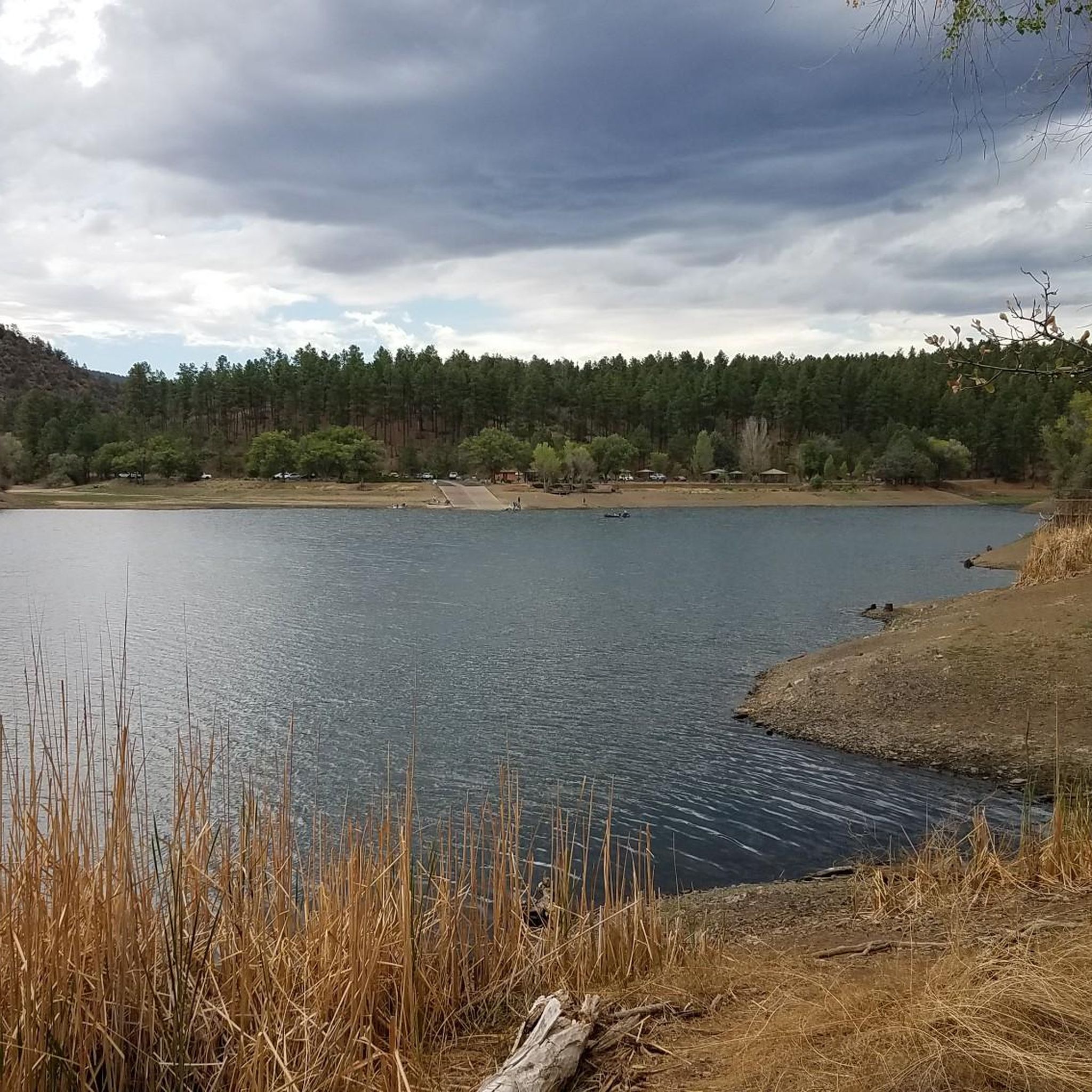
Prescott National Forest boasts incredibly diverse landscapes. You'll ride through areas transitioning from Sonoran Desert-like conditions at lower elevations to dense ponderosa pine forests at higher altitudes. Expect to see rugged granite formations, boulder-strewn sites, and historic roads. The region is also dotted with picturesque lakes like Goldwater Lake and Lynx Lake, and the unique granite dells around Watson Lake.
Are there any notable viewpoints or scenic spots along the gravel trails?
Many routes offer stunning views. The region is known for its rugged granite peaks and impressive rock formations, especially in areas like the Granite Dells. For specific viewpoints, consider visiting Thumb Butte viewpoint or enjoying the tranquil scenery from View of Lynx Lake from Johns Tank Trail. The Skull Valley Loop also features long climbs and descents with scenic vistas.
What is the best time of year for gravel biking in Prescott National Forest?
The diverse elevations in Prescott National Forest mean riding conditions vary. Spring and fall generally offer the most pleasant temperatures for exploring the full range of trails. During summer, higher elevation routes in the ponderosa pine forests provide cooler temperatures, while lower desert-like areas can be very hot. Winter riding is possible, especially at lower elevations, but be prepared for colder conditions and potential snow at higher altitudes.
Are there any loop trails available for gravel biking?
Yes, many of the gravel routes in Prescott National Forest are designed as loops. For example, the Captain‘s Trail – Iron King Trail loop from Peavine Trailhead offers a balanced moderate ride. Another option is the Captain‘s Trail – Iron King Trail loop from Vista Park, which is also a moderate loop with notable elevation changes.
What kind of historical sites or landmarks can be found along the routes?
The forest incorporates historic routes such as the Overland Road and Senator Highway, adding a layer of historical intrigue to your rides. You might even encounter ghost towns like Bradshaw City and Goodwin along these historic paths, offering a glimpse into the region's past.
Are there any lakes or waterways accessible from the gravel bike trails?
Yes, the area is dotted with picturesque lakes and streams. Lynx Lake is particularly accessible, with the Lynx Lake Trail offering an easy and scenic journey through shaded pine forests with tranquil lake views. Watson Lake, famous for its unique granite dells, is also a prominent feature in the region.
What do other gravel bikers enjoy most about gravel biking in Prescott National Forest?
Komoot users frequently praise the diverse landscapes and the extensive network of trails that cater to various skill levels. Riders often highlight the transition from desert-like conditions to dense pine forests, the rugged granite formations, and the scenic beauty of the lakes as key attractions. The mix of surfaces, including gravel and forest service roads, also contributes to a dynamic riding experience.
Is parking readily available near the gravel biking trailheads?
While specific parking details for every trailhead are not listed, many popular access points for Prescott National Forest trails, such as the Peavine Trailhead, typically offer designated parking areas. It's advisable to check specific route descriptions on komoot for detailed parking information before your ride.
Are there any permits required for gravel biking in Prescott National Forest?
Generally, no specific permits are required for gravel biking on the extensive network of forest roads and trails within Prescott National Forest for day use. However, if you plan on dispersed camping as part of a multi-day bike tour, it's always wise to check the latest regulations with the Prescott National Forest service for any specific area restrictions or fire regulations.
Most popular routes in Prescott National Forest
Most popular attractions in Prescott National Forest

Get inspired with the komoot mobile app


Explore more
Browse the best Gravel rides in other regions.
