The best running trails in Prescott National Forest
5.0
(3)
139
runners
56
runs
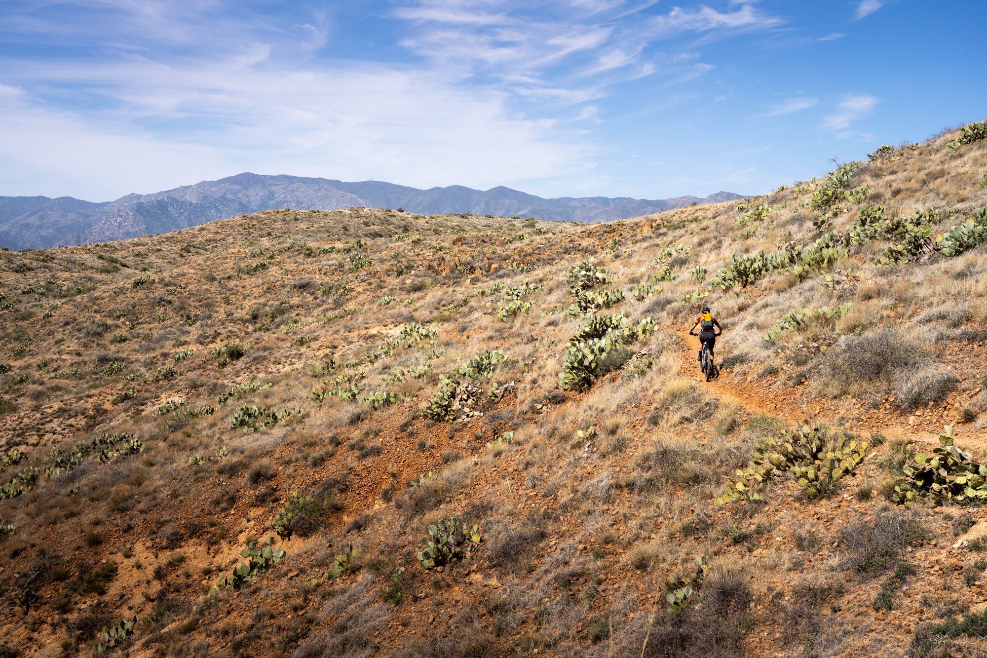
Jogging in Prescott National Forest offers diverse landscapes, transitioning from Sonoran Desert vegetation at lower altitudes to piñon pine, juniper, and Ponderosa Pines at higher elevations. This extensive forest covers over 1.25 million acres, providing a varied and scenic backdrop for runners. The region features a network of approximately 950 miles of trails, with around 450 miles designated as non-motorized, ideal for running. Elevations range from 3,000 to 8,000 feet, offering a variety of terrains from flat paths to challenging…
Last updated: May 10, 2026
14
runners
13.2km
02:03
480m
480m
Hard run. Very good fitness required. Sure-footedness, sturdy shoes and alpine experience required.
10
runners
3.45km
00:32
170m
170m
Moderate run. Good fitness required. Mostly paved surfaces. Suitable for all skill levels.

8
runners
13.1km
01:32
250m
250m
Moderate run. Good fitness required. Mostly paved surfaces. Suitable for all skill levels.
5
runners
3.87km
00:28
30m
30m
Easy run. Great for any fitness level. Mostly paved surfaces. Suitable for all skill levels.
6
runners
14.4km
02:00
510m
510m
Hard run. Very good fitness required. Mostly paved surfaces. Suitable for all skill levels.
Get access to more routes and recommendations from other explorers.
Already have an account?
Our route recommendations are based on thousands of hikes, rides, and runs completed by other people on komoot.
Start today with a free account
Your next adventure awaits.

Other adventures in Prescott National Forest

Tips from the Community

One of the most popular outdoor areas in the Prescott, Arizona area.
1
0

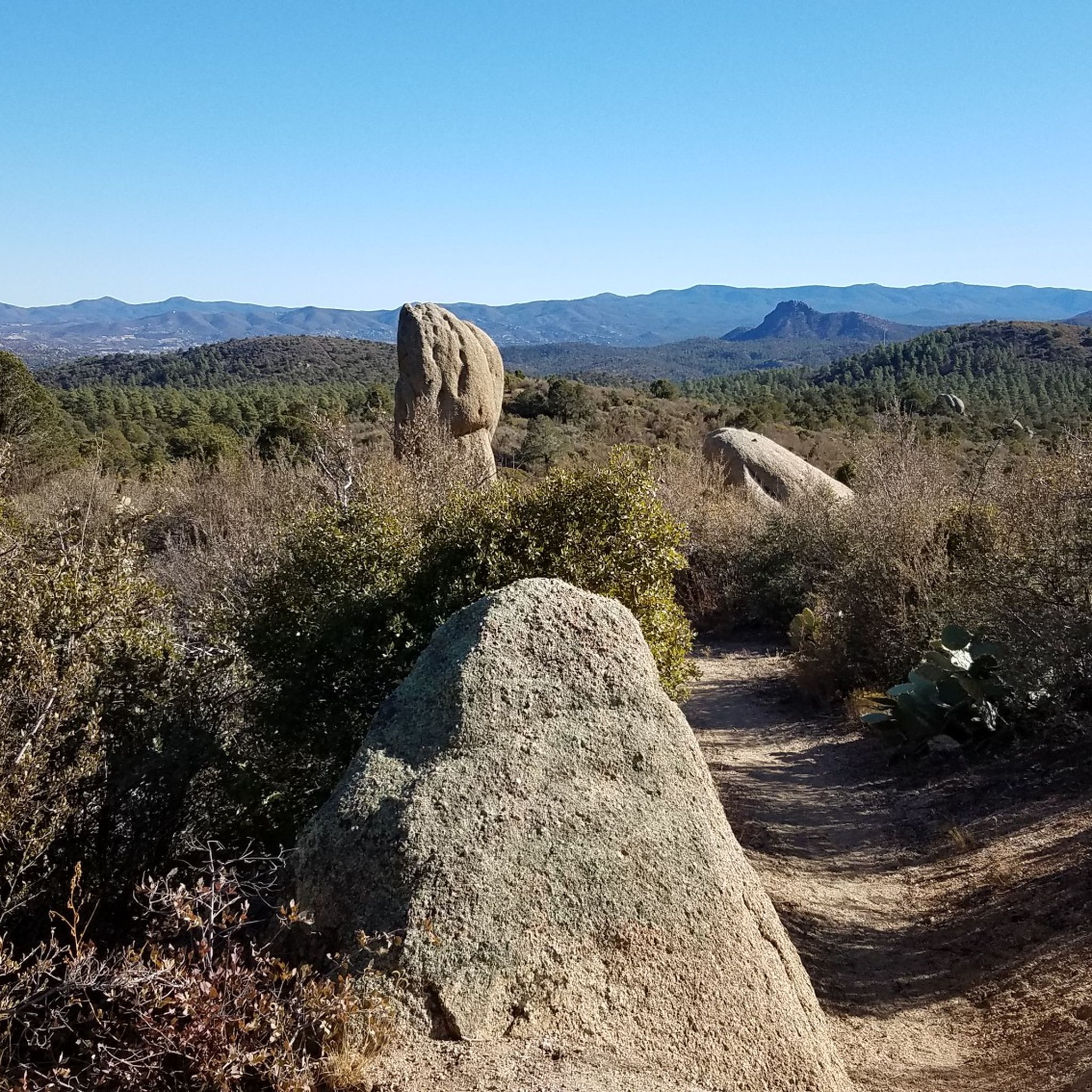
With mountain views, shade, and rock formations just off the side of the path, it's no wonder why this trail is so popular. The trail circumnavigates Little Granite Mountain and offers awesome views of the valley, Little Granite Mountain, Granite Mountain (off in the distance), and a number of different natural rock features. This is a popular trail that ends at the wilderness boundary.
0
0
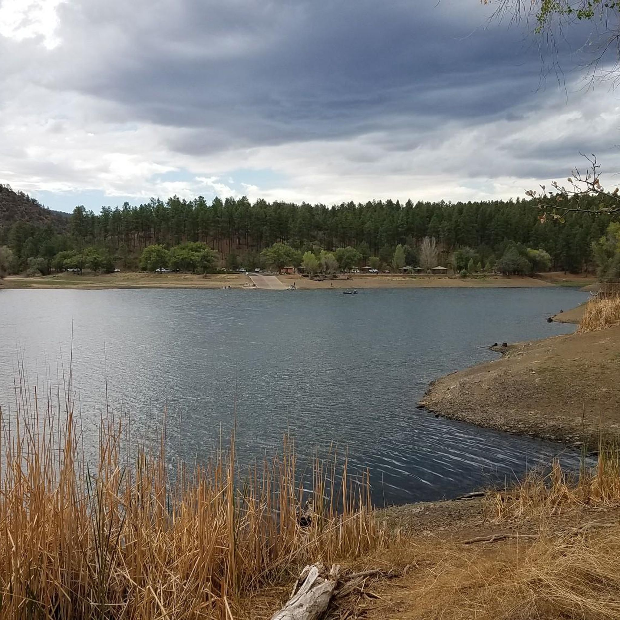
Lower Goldwater Lake is the smaller of the two reservoirs and is a little bit off the side of the trail. You can see Banning Creek flowing into the lake, which is controlled by a dam. There are paths on both side of the water that offer different perspectives.
0
0
At an elevation of 5,000 feet, Lynx Lake welcomes a bunch of visitors and different recreationalists every day to its shoreline trails. The eastern side of the lake is known for being rockier and having more technical trails, but it makes up for the slower terrain with better views of the water.
0
0
Lower Goldwater Lake is the smaller of the two reservoirs and is a little bit off the side of the trail. You can see Banning Creek flowing into the lake, which is controlled by a dam. There are paths on both side of the water that offer different perspectives.
0
0
Thumb Butte Trail creates a loop and offers numerous great vantage points over the surrounding mountains and valleys and the city of Prescott down below. This section of the trail isn't as steep as the eastern section, but it is uphill or downhill the entire time and is a great workout.
0
0

In June 2013, 19 out of 20 members of the Granite Mountain Hotshots firefighting team tragically lost their lives battling the Yarnell wildfire. This highly trained, elite crew was known for their work fighting fires in remote areas. To honor their sacrifice, the Granite Mountain Hotshots Memorial State Park was established. However, you will find multiple unofficial memorials like this one throughout the area.
0
0
This viewpoint on the Thumb Butte trail is a perfect spot to take a picture or simply soak in the incredible scenery. From this overlook you can see the stunning rock formations of the Granite Dells, the city of Prescott, and the surrounding mountain ranges all spread out before you. It's a beautiful place to pause and be present, enjoying the panoramic views of the natural landmarks and landscape. Definitely bring your camera to capture this picture-perfect vista.
0
0
Frequently Asked Questions
How many running routes are available in Prescott National Forest?
Prescott National Forest offers a wide selection of running routes, with over 60 different trails available for exploration. These range from easy paths to challenging mountain runs, catering to various fitness levels.
What kind of terrain can I expect on the running trails in Prescott National Forest?
You'll encounter diverse terrain, from Sonoran Desert vegetation at lower altitudes to piñon pine, juniper, and Ponderosa Pines at higher elevations. Trails vary from flat, accessible paths to challenging routes with steep sections, rocks, and roots. Elevations range significantly, offering a constantly changing and scenic backdrop for your run.
Are there easy running routes for beginners in Prescott National Forest?
Yes, there are easy options suitable for beginners. For instance, the Lynx Recreation Trail #311 is an easy 3.9 km path that offers a gentle experience around the peaceful Lynx Lake.
What natural features or landmarks can I see while running in the forest?
Prescott National Forest is rich in natural beauty. You can encounter distinctive volcanic formations like Thumb Butte, which offers panoramic views. Many routes also pass by picturesque lakes such as Upper Goldwater Lake and Granite Basin Lake. The diverse ecosystems mean you'll see changing plant communities as you ascend through different elevations.
Are there any scenic lake runs in Prescott National Forest?
Absolutely. The forest features several beautiful lakes that provide serene settings for running. The Goldwater Lakes trail run loop is a popular 13.1 km route with moderate elevation gain, offering lovely views of the lakes. Lynx Lake is another peaceful, pine-shaded spot with trails around it.
Can I find running routes with panoramic views?
Yes, several routes offer stunning panoramic views. The Thumb Butte Trail run loop leads through distinctive volcanic formations and provides excellent vistas. More challenging trails like Granite Mountain Trail #261 also offer views, including those of Granite Basin Lake.
Are there family-friendly running trails in Prescott National Forest?
Yes, some areas are particularly suitable for families. Upper Goldwater Lake, for example, is known for being kid-friendly with amenities, making it a pleasant spot for a family run or walk. Look for trails with lower difficulty ratings and less elevation gain for a more enjoyable family experience.
Are dogs allowed on the running trails in Prescott National Forest?
Many trails within Prescott National Forest are dog-friendly, allowing you to enjoy a run with your canine companion. Upper Goldwater Lake is specifically mentioned as a dog-friendly location. Always ensure your dog is on a leash and follow Leave No Trace principles.
Are there any circular running routes?
Yes, Prescott National Forest has several excellent circular running routes. Popular options include the Thumb Butte Trail run loop and the Goldwater Lakes trail run loop. For a more challenging experience, the Little Granite Mountain Loop is a difficult 14.4 km circular path.
What is the best time of year for running in Prescott National Forest?
The mild climate of Central Arizona makes Prescott National Forest appealing for year-round outdoor activities. However, spring and fall generally offer the most comfortable temperatures for running. Summers can be hot, especially at lower elevations, so early morning or late afternoon runs are recommended, while higher elevations might offer cooler conditions.
Is parking available at the trailheads?
Parking is generally available at many of the popular trailheads throughout Prescott National Forest. Specific parking information can often be found on individual route pages or by checking the forest's official website for detailed access points.
Are there opportunities for wildlife spotting while running?
Yes, the diverse ecosystems of Prescott National Forest provide excellent opportunities for wildlife spotting. As you run through different plant communities, you might encounter various animals such as foxes, mule deer, and wild turkeys. Early mornings or late afternoons are often the best times for wildlife viewing.
What do other runners say about the trails in Prescott National Forest?
The running routes in Prescott National Forest are highly rated by the komoot community, with an average score of 5.0 stars from 2 reviews. Over 160 runners have used komoot to explore the varied terrain, often praising the diverse landscapes, scenic views, and the extensive network of trails available.
Most popular routes in Prescott National Forest
Most popular attractions in Prescott National Forest

Get inspired with the komoot mobile app


Explore more
Browse the best Running Trails & Routes in other regions.
