The best gravel rides around Area C (Moyie/Bull River)
4.0
(6)
85
riders
9
rides
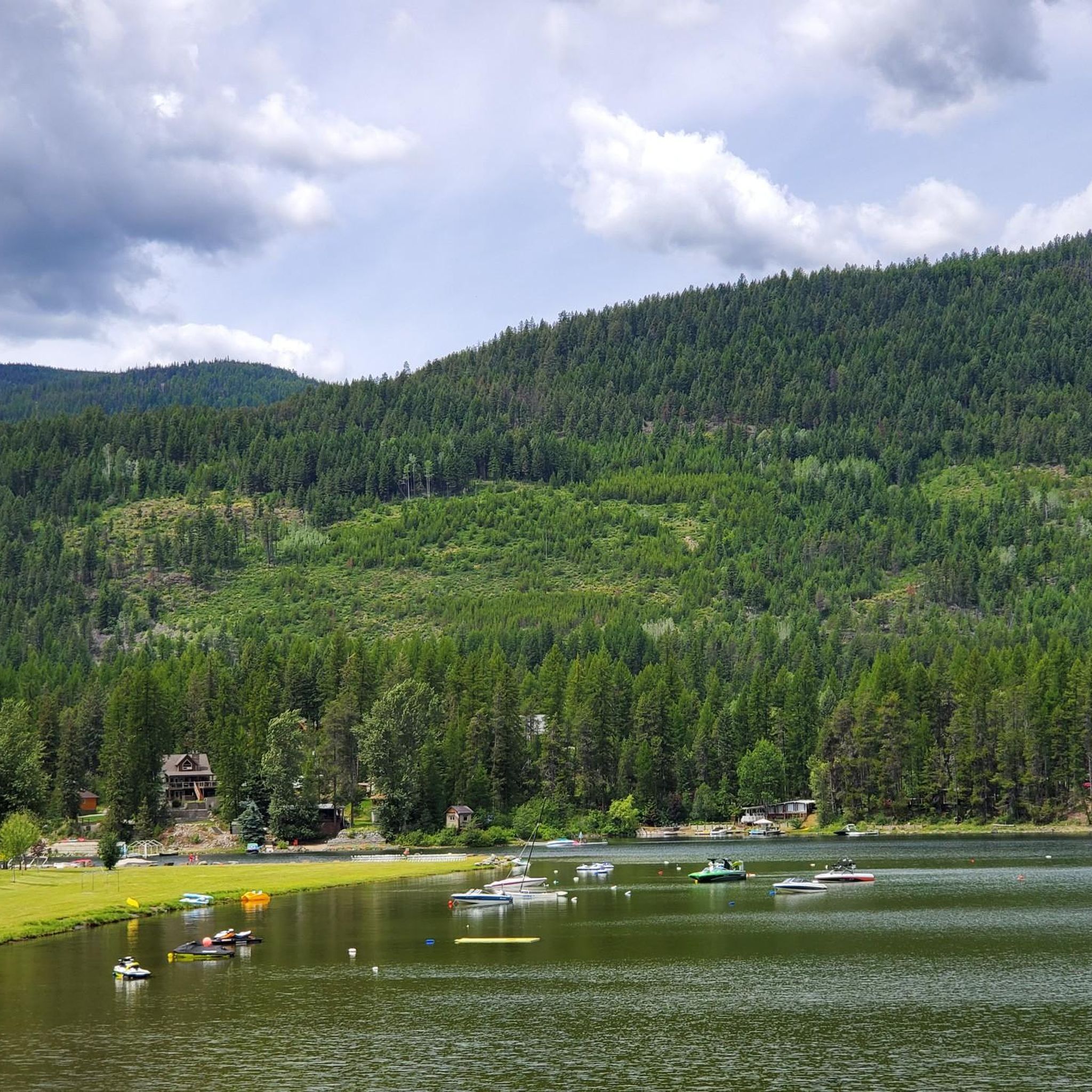
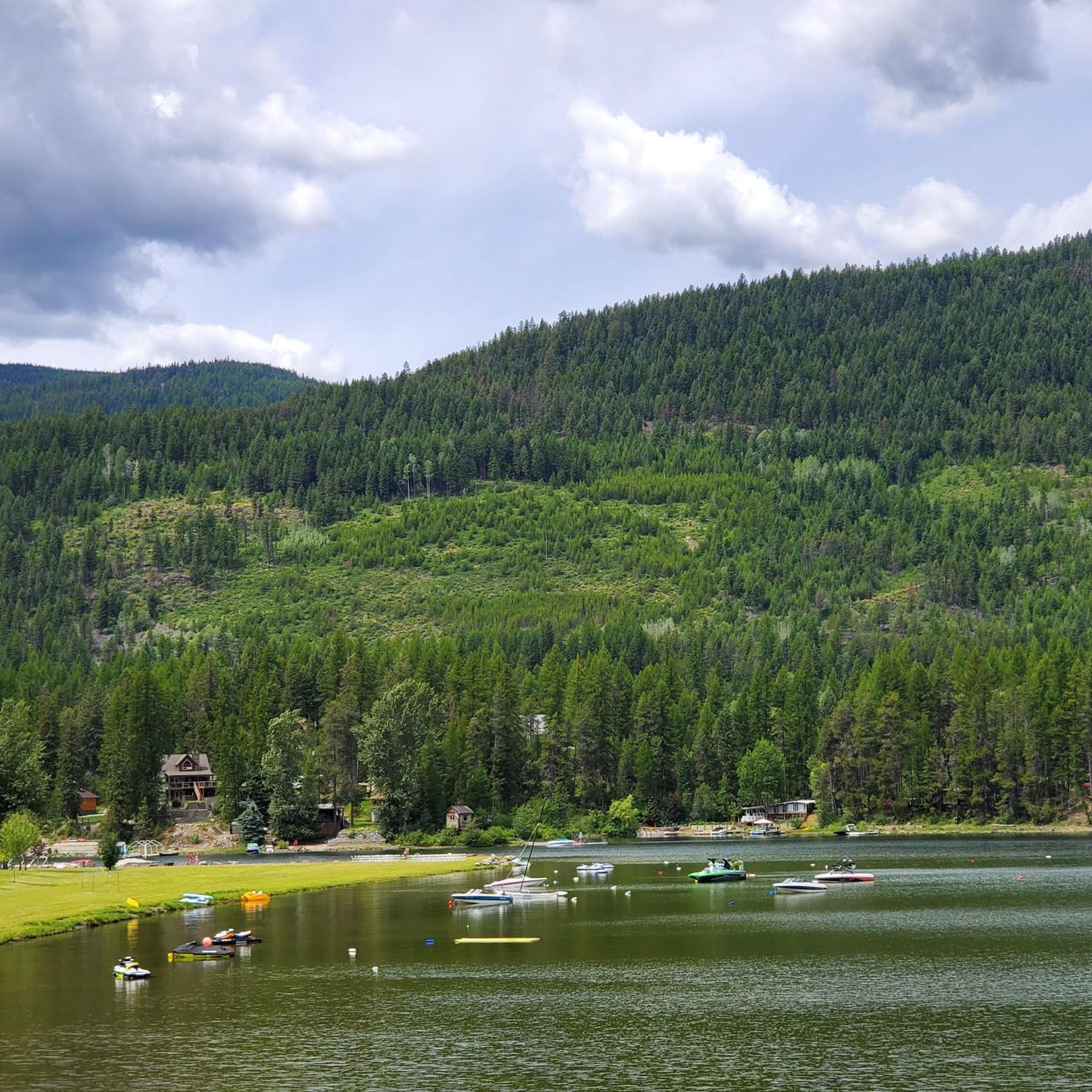
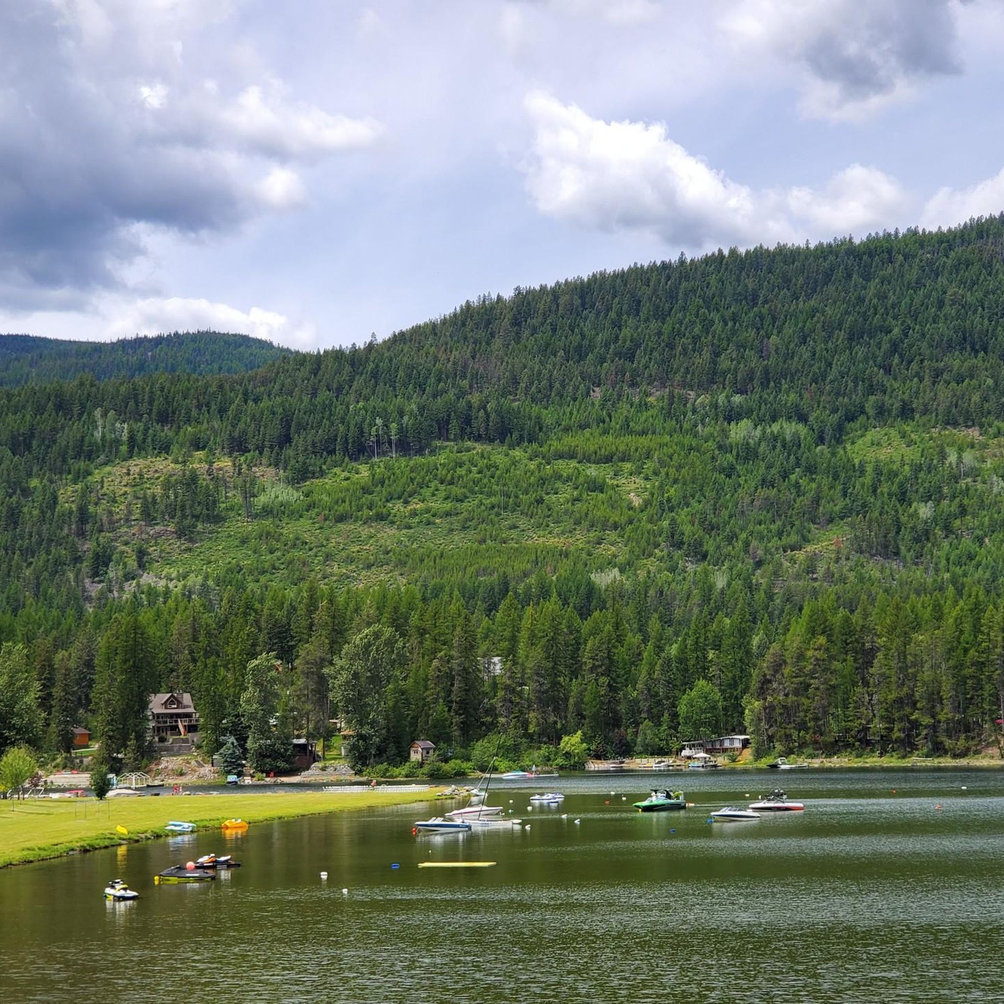
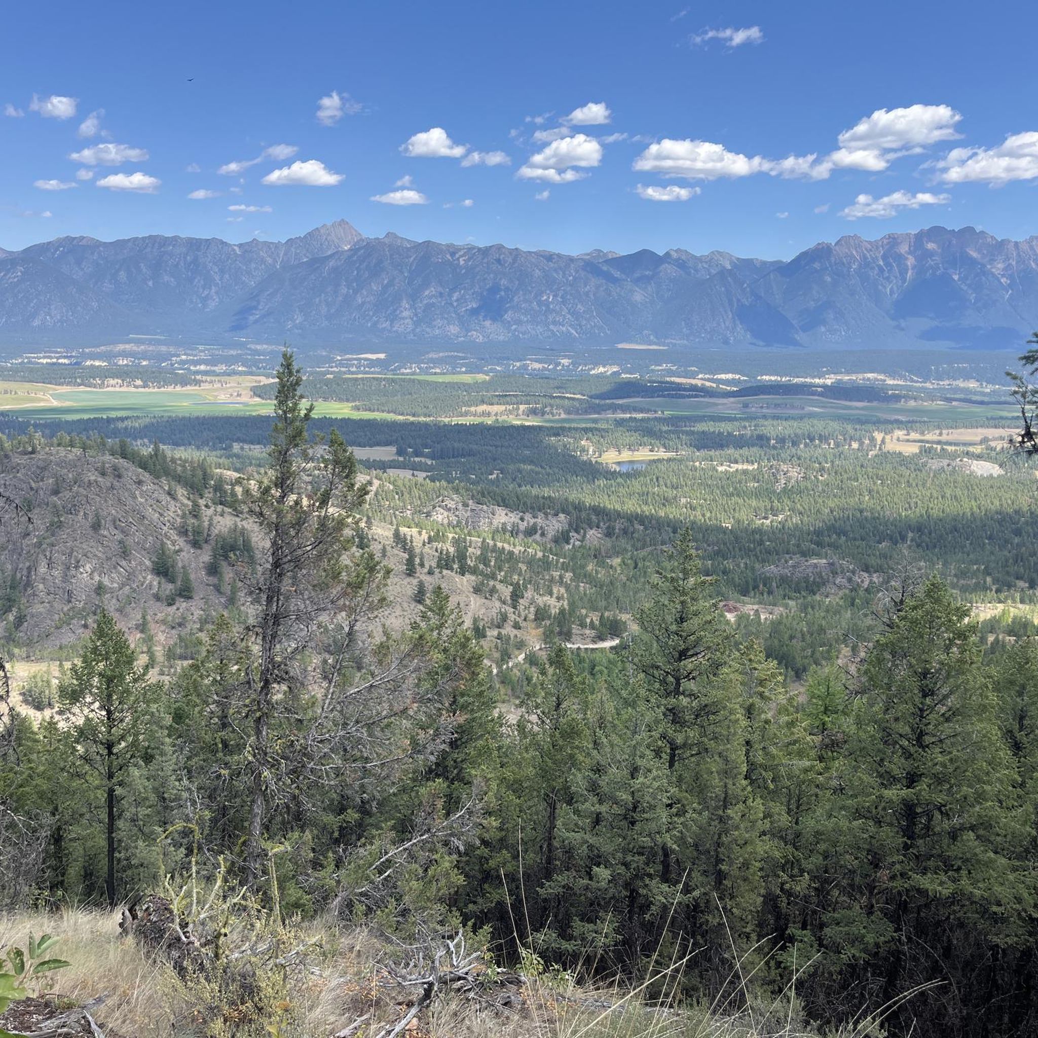
Gravel biking around Area C (Moyie/Bull River) offers a diverse landscape characterized by the Purcell and Rocky Mountains, Moyie Lake, and the Bull River. The region features a mix of forests, valleys, and wetlands, providing varied terrain for cycling. An extensive network of Forest Service Roads (FSRs) and old railbeds forms numerous gravel routes, combining natural beauty with low-traffic conditions. These paths range from smoother sections to more rugged terrain with significant elevation gains.
Best gravel bike trails around Area…
Last updated: August 27, 2026
4.0
(1)
15
riders
58.5km
04:16
1,260m
1,260m
Hard gravel ride. Very good fitness required. Mostly paved surfaces. Suitable for all skill levels.
5.0
(1)
8
riders
66.0km
06:38
890m
890m
Hard gravel ride. Very good fitness required. Mostly paved surfaces. Suitable for all skill levels.

Sign up for free
10
riders
112km
07:48
1,270m
1,260m
Hard gravel ride. Very good fitness required. Mostly paved surfaces. Suitable for all skill levels.
16
riders
27.7km
02:08
470m
470m
Hard gravel ride. Very good fitness required. Mostly paved surfaces. Suitable for all skill levels.
12
riders
77.9km
05:29
1,020m
1,020m
Hard gravel ride. Very good fitness required. Mostly paved surfaces. Suitable for all skill levels.
Get access to more routes and recommendations from other explorers.
Sign up for free
Already have an account?
Our route recommendations are based on thousands of hikes, rides, and runs completed by other people on komoot.
Start today with a free account
Your next adventure awaits.
Login or Signup

Tips from the Community

Fernie is a little mountain town, home to year-round outdoor activity. In winter there's the Fernie Alpine Resort for skiing and snowboarding, and in summer there's downhill biking, hiking, and resort activities. Fernie has a population under 10,000 people, and it has a charming downtown to explore.
0
0

Coal Creek flows down from the mountains outside of Fernie before emptying into the Elk River. There's a ghost-town of the same name along its stretch that was abandoned after the local mine closed in the 1950s.
0
0
The Montane Nordic Trails are a collection of multi-use trails on the outskirts of Fernie that are popular for hiking and mountain biking in summer, and XC skiing in winter. Located so near to Fernie means access is usually easy though heavy snow in winter may create temporary difficulties.
0
0

The singletrack sections are buff and rideable, so give them a try when on the BC Epic.
0
0

Great spot for a lunch break
0
0

In 2021, overall good condition with a few sections being more rugged due to washouts and washboard.
1
0
Turning right turn off Lodgepole Road, onto Wigwam FSR, circling Mt. Broadwood. Good quality gravel road here.
1
0
Frequently Asked Questions
How many gravel bike trails are available in Area C (Moyie/Bull River)?
There are over 10 gravel bike routes documented in Area C (Moyie/Bull River) on komoot. These routes offer a diverse range of experiences, from easy riverside paths to more challenging upland traverses.
Are there any easy gravel bike trails suitable for beginners in Area C?
Yes, Area C offers routes suitable for beginners. For an easy and scenic ride, consider the Bull River Riverside Path, which is 8.0 miles (12.9 km) long and winds through riverside forests. It's ideal for those new to gravel biking.
What are the options for advanced gravel bikers in the Bull River area?
Advanced gravel bikers will find more challenging routes in Area C. While specific 'difficult' routes aren't detailed here, the region is known for its varied terrain, including remote forest tracks and rolling hills, which can provide a good workout. The Area C Upland Traverse, at 25.0 miles (40.2 km), offers a longer and more demanding experience.
Are there family-friendly gravel bike routes around Moyie/Bull River?
Absolutely. The Bull River Riverside Path is specifically highlighted as ideal for family-friendly gravel bike routes. It's an easy 8.0-mile (12.9 km) path that allows for a pleasant ride through scenic riverside forests.
What is the best time of year for gravel biking in Area C (Moyie/Bull River)?
While specific seasonal data isn't provided, gravel biking in regions with river valleys and forests like Area C is generally best enjoyed from late spring through early autumn. During these months, trails are typically dry, and the weather is more favorable. Always check local conditions before heading out.
Are there any loop gravel bike trails in Area C?
Yes, loop trails are available. The Moyie River Valley Loop is a popular circular route, covering 15.0 miles (24.1 km) and following the river with a mix of gravel and forest paths.
What kind of terrain can I expect on gravel bike trails in Area C?
The terrain in Area C (Moyie/Bull River) is diverse, characterized by river valleys, dense forests, and rolling hills. You'll encounter a mix of established gravel roads and more rugged tracks, offering varied landscapes from riverside paths to elevated forest sections.
What do other gravel bikers enjoy most about gravel biking in Area C (Moyie/Bull River)?
The area is highly rated by the komoot community, with an average score of 3.7 stars from over 4 reviews. Reviewers often praise the region's diverse terrain, which provides options for different ability levels, and the scenic beauty of the river valleys and forested areas.
Are there any viewpoints along the gravel bike trails in the Bull River area?
While specific named viewpoints are not detailed, the routes through the Bull River area, such as the Bull River Riverside Path and the Area C Upland Traverse, traverse scenic riverside forests and rolling hills. These elevated sections and river-adjacent paths naturally offer picturesque views of the surrounding landscape.
Where can I find parking for gravel bike trailheads in the Moyie River area?
Specific parking locations for trailheads are not detailed in the guide. However, for routes like the Moyie River Valley Loop, it's common to find designated parking areas near the start of popular trails or in nearby community access points. We recommend checking the individual tour pages on komoot for more precise trailhead information and parking suggestions.
Are there any hidden gem gravel bike trails in Area C?
While the guide highlights popular routes, the presence of 7 difficult tours among the 10 available suggests there are less-trafficked, more remote options. These often lead to a sense of discovery. Exploring the less-frequented forest tracks and upland areas, such as those found on the Area C Upland Traverse, can reveal hidden gems for adventurous riders.
What are the typical lengths of gravel bike trails in Area C?
The gravel bike trails in Area C vary in length to suit different preferences. For example, the Bull River Riverside Path is an easy 8.0 miles (12.9 km), while the Moyie River Valley Loop is 15.0 miles (24.1 km), and the Area C Upland Traverse extends to 25.0 miles (40.2 km). You'll find options for shorter rides and longer excursions.
Most popular routes around Area C (Moyie/Bull River)
Most popular attractions around Area C (Moyie/Bull River)

Get inspired with the komoot mobile app


Explore more
Browse the best Gravel rides in other regions.
