The best road cycling routes around Area C (Moyie/Bull River)
135
riders
7
rides
Road cycling routes around Area C (Moyie/Bull River) traverse a diverse landscape within British Columbia's East Kootenay region. This area is characterized by serene Moyie Lake, the lush Bull River Valley, and the lower eastern slopes of the Purcell Mountains. Cyclists encounter varied topography, from broad valleys to steep, incised valley sides, with quiet roads winding through forested landscapes of fir, cedar, and larch. The region offers mountain views and access to natural attractions like the Ross Creek Giant Cedars…
Last updated: July 10, 2026
60
riders
68.5km
04:00
780m
780m
Moderate road ride. Good fitness required. Mostly well-paved surfaces and easy to ride.
22
riders
68.0km
03:53
760m
760m
Moderate road ride. Good fitness required. Mostly well-paved surfaces and easy to ride.

Sign up for free
13
riders
36.7km
02:02
360m
360m
Moderate road ride. Good fitness required. Mostly well-paved surfaces and easy to ride.
12
riders
38.5km
02:09
400m
400m
Moderate road ride. Good fitness required. Mostly well-paved surfaces and easy to ride.
6
riders
33.7km
01:41
230m
230m
Easy road ride. Great for any fitness level. Mostly well-paved surfaces and easy to ride.
Get access to more routes and recommendations from other explorers.
Sign up for free
Already have an account?
Our route recommendations are based on thousands of hikes, rides, and runs completed by other people on komoot.
Start today with a free account
Your next adventure awaits.
Login or Signup
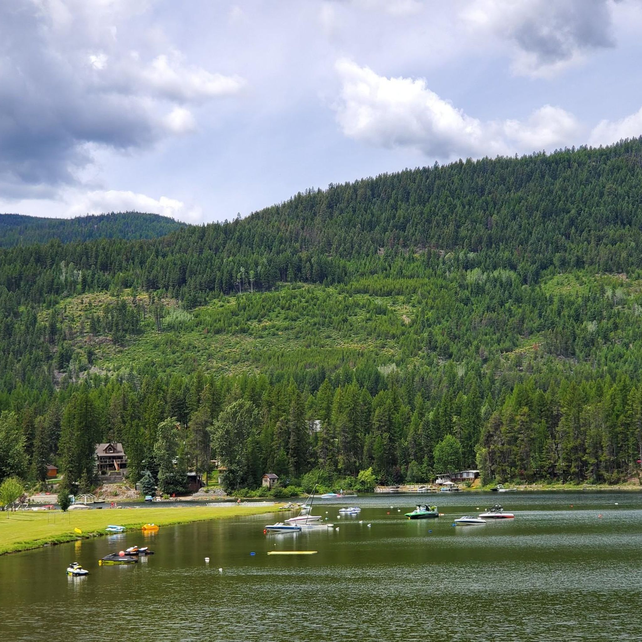
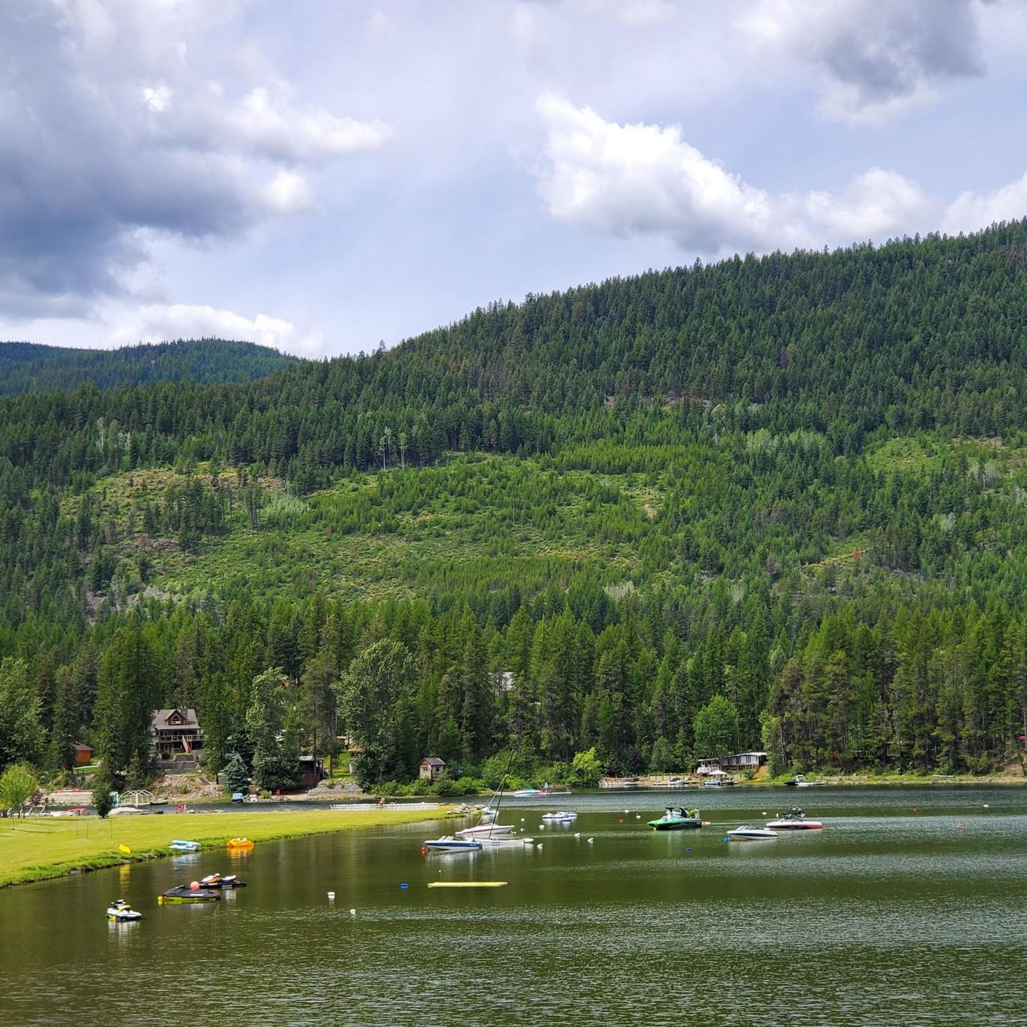
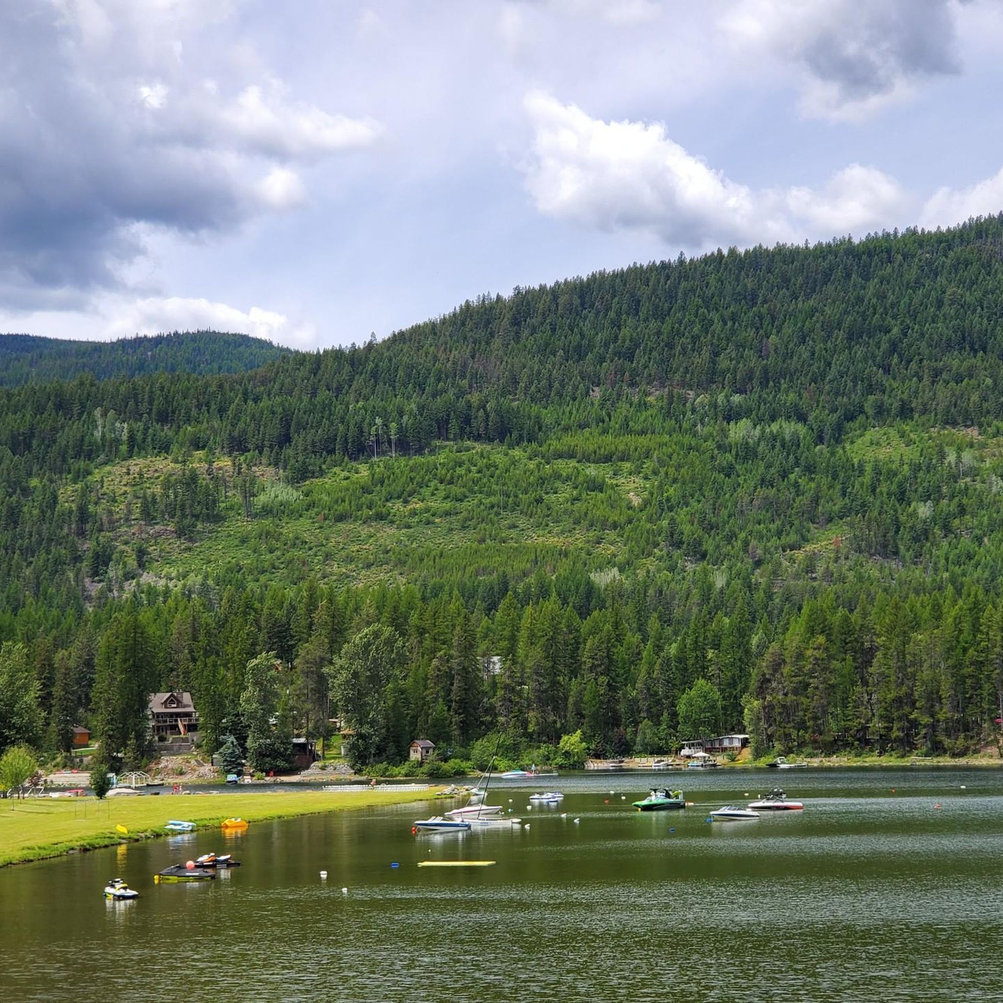
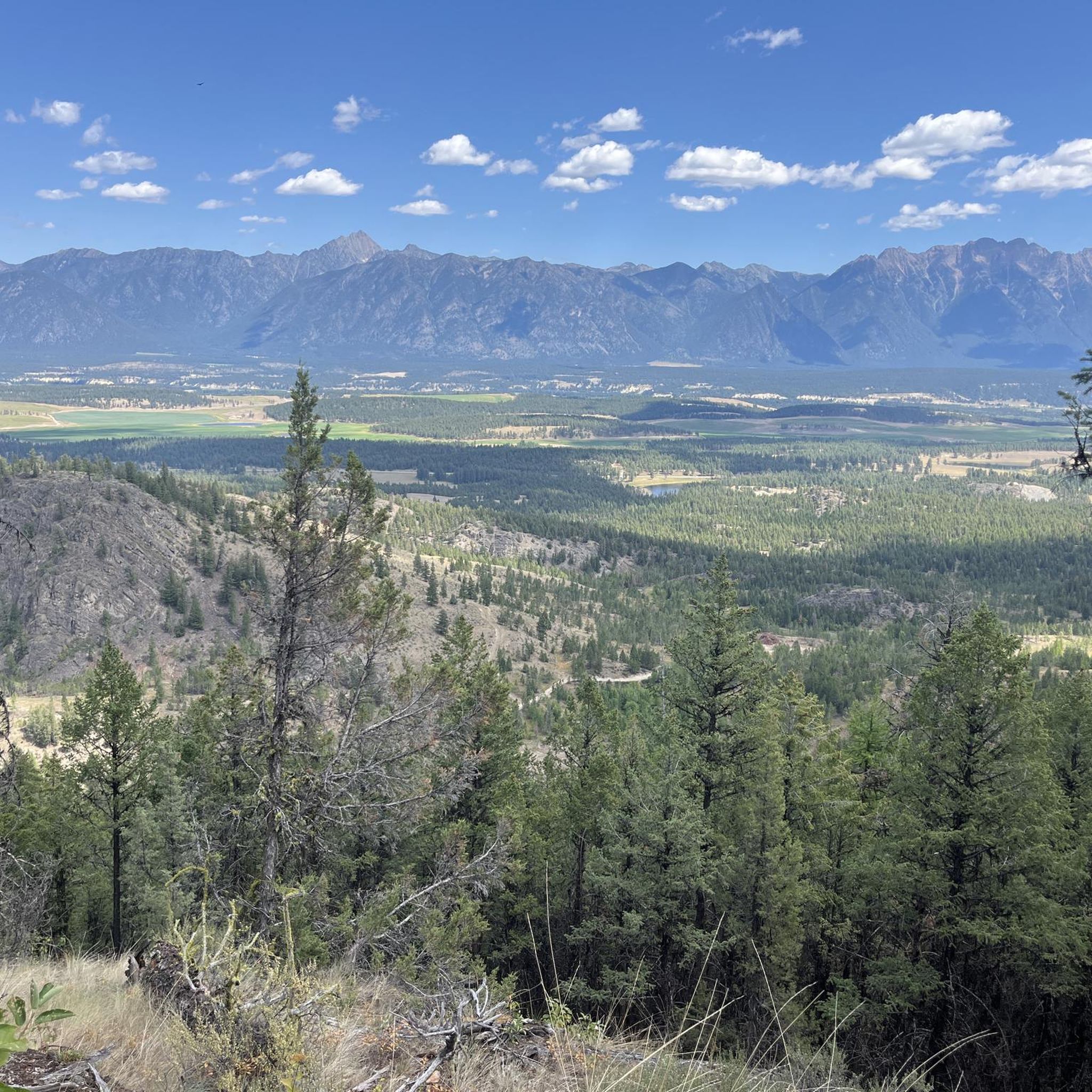
Tips from the Community

The Elk River flows 220 kilometres until reaching the Lake Koocanusa reservoir by the U.S.-Canada border. It is managed as a "Quality Waters Fishery," which is open to fishing with certain regulations so as to help with larger, healthier fish populations. There's also summer rafting, with rapids near Fernie, and a mellower river float.
0
0
Fernie is a little mountain town, home to year-round outdoor activity. In winter there's the Fernie Alpine Resort for skiing and snowboarding, and in summer there's downhill biking, hiking, and resort activities. Fernie has a population under 10,000 people, and it has a charming downtown to explore.
0
0

Located in in southeastern British Columbia, Fernie is known for its deep powder snow in the winter and its historic downtown area. However, like many other ski towns, Fernie has plenty of mountain bike trails to entice visitors throughout the summer. You'll find everything from gentle gravel trails to lift serviced downhill runs.
0
0
Frequently Asked Questions
How many road cycling routes are available in Area C (Moyie/Bull River)?
Area C (Moyie/Bull River) offers a selection of road cycling routes, with 7 distinct tours available on komoot. These routes cater to various preferences, ranging from moderate to more challenging rides.
What kind of terrain can I expect on road cycling routes in Area C?
Road cycling in Area C features diverse terrain, from broad valleys with moderate slopes to steep, incised valley sides. Routes often wind through forested landscapes of fir, cedar, and larch, offering quiet roads and stunning mountain views. You'll find mostly paved surfaces, with some routes like the "Going Up-Bumps" climb presenting notable local challenges with gradients up to 16.1%.
Are there road cycling routes suitable for beginners in Area C?
Yes, Area C provides options for different ability levels. While most routes are moderate, there is at least one easy route available, making it accessible for beginners or those looking for a more relaxed ride. These routes often feature mostly paved surfaces and less significant elevation gains.
What are some scenic viewpoints or natural attractions I can see while road cycling in Area C?
Road cycling in Area C offers numerous scenic highlights. You can enjoy views of Moyie Lake, the lush Bull River Valley, and the lower eastern slopes of the Purcell Mountains. The View of the Ski Slope loop from Grandview Heights FS Industrial Rd 2 (SB) and View of the Ski Slope loop from Marysville routes provide excellent mountain and forest vistas. Additionally, the region is home to the Ross Creek Giant Cedars Grove, where ancient red cedars can be explored, and Moyie Lake Provincial Park offers sandy beaches and interpretive trails.
Are there any loop routes for road cycling in Area C?
Yes, many of the road cycling routes in Area C are designed as loops, providing a convenient way to explore the region without retracing your path. Examples include the popular View of the Ski Slope loop from Grandview Heights FS Industrial Rd 2 (SB), the View of the Ski Slope loop from Marysville, and the Roadbike loop from Cranbrook.
What is the best time of year for road cycling in Area C (Moyie/Bull River)?
The Kootenay Rockies region, including Area C, is increasingly recognized as a cycling destination. While specific seasonal considerations depend on weather, summer generally offers ideal conditions for road cycling, with pleasant temperatures and full access to routes. The quiet, well-maintained highways are enjoyable when free of snow and ice.
Are there family-friendly road cycling options in Area C?
Yes, Area C offers road cycling options suitable for families. There are easy and moderate routes available, often on mostly paved surfaces, allowing for enjoyable rides with varying skill levels. Consider routes with less elevation gain and traffic for a more comfortable family experience.
Can I find places to eat or rest near the road cycling routes in Area C?
The region's quiet roads, while feeling remote, often offer convenient access to cafes and rest stops in nearby communities. The historic community of Moyie, for instance, provides a glimpse into its past with heritage buildings, and towns like Cranbrook, Marysville, and Fernie, which serve as starting points for some routes, offer amenities for cyclists.
Where can I park my car when starting a road cycling route in Area C?
Many road cycling routes in Area C start from accessible locations such as Grandview Heights FS Industrial Rd 2 (SB), Marysville, Cranbrook, or the Wycliffe Exhibition Grounds. These locations typically offer parking facilities suitable for starting your ride. Always check local signage for specific parking regulations.
What makes road cycling in Area C (Moyie/Bull River) unique compared to other regions?
Road cycling in Area C is unique due to its blend of serene Moyie Lake, the lush Bull River Valley, and the majestic backdrop of the Purcell Mountains. The region's quiet, well-maintained roads wind through dense woods, offering stunning mountain views and a sense of remoteness, yet with access to local amenities. It's part of the broader Kootenay Rockies, known for its diverse terrain and rich natural environment.
Are there any challenging road cycling routes for experienced riders in Area C?
For experienced riders seeking a challenge, Area C offers routes with significant elevation gain and varied terrain. The "Going Up-Bumps" climb, for example, presents a local challenge with an average gradient of 5.1% and peaks at 16.1%. Routes like the View of the Ski Slope loop from Grandview Heights FS Industrial Rd 2 (SB) cover over 68 km with nearly 780 meters of elevation gain, providing a substantial workout.
What wildlife might I encounter while cycling in Area C?
The diverse ecosystems of Area C are home to a variety of wildlife. In the Moyie Lake area, you might spot beaver, muskrat, whitetail deer, and various bird species. The Bull River Valley is particularly rich in wildlife, including elk, whitetail and mule deer, mountain goats, bighorn sheep, moose, black bears, and even grizzly bears. Always maintain a respectful distance and be aware of your surroundings.
What do other cyclists enjoy most about road cycling in Area C (Moyie/Bull River)?
Cyclists frequently praise Area C for its stunning natural beauty, quiet roads, and diverse terrain. The combination of serene lakes, lush river valleys, and majestic mountain backdrops creates a truly immersive experience. Many appreciate the well-maintained highways that offer both remote stretches and convenient access to amenities, making for a pleasant and memorable ride.
Most popular routes around Area C (Moyie/Bull River)
Most popular attractions around Area C (Moyie/Bull River)

Get inspired with the komoot mobile app


Explore more
Browse the best Road cycling routes in other regions.
