The best cycling routes around Area C (Moyie/Bull River)
4.7
(11)
371
riders
11
rides
Touring cycling around Area C (Moyie/Bull River) offers diverse routes through the East Kootenay region of British Columbia. The landscape is characterized by the lower eastern slopes of the Purcell Mountains, the deep blue Moyie Lake, and the clear Bull River. Cyclists can navigate varied terrain, including paved roads, unpaved forest service roads, and gravel sections, often winding through diverse forest types. This area provides a blend of scenic beauty and natural features, catering to different cycling preferences.
Best touring…
Last updated: July 10, 2026
4.8
(8)
58
riders
Moderate bike ride. Good fitness required. Mostly paved surfaces. Suitable for all skill levels.
5.0
(1)
52
riders
Hard bike ride. Very good fitness required. Mostly paved surfaces. Suitable for all skill levels.

Sign up for free
5.0
(1)
11
riders
Easy bike ride. Great for any fitness level. Mostly paved surfaces. Suitable for all skill levels.
11
riders
30.9km
03:04
400m
400m
Moderate bike ride. Good fitness required. Mostly paved surfaces. Suitable for all skill levels.
10
riders
31.1km
03:04
380m
380m
Moderate bike ride. Good fitness required. Mostly paved surfaces. Suitable for all skill levels.
Get access to more routes and recommendations from other explorers.
Sign up for free
Already have an account?
Our route recommendations are based on thousands of hikes, rides, and runs completed by other people on komoot.
Start today with a free account
Your next adventure awaits.
Login or Signup
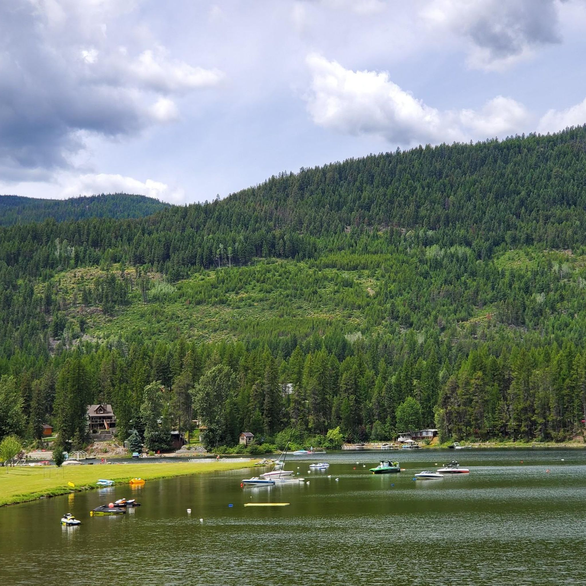
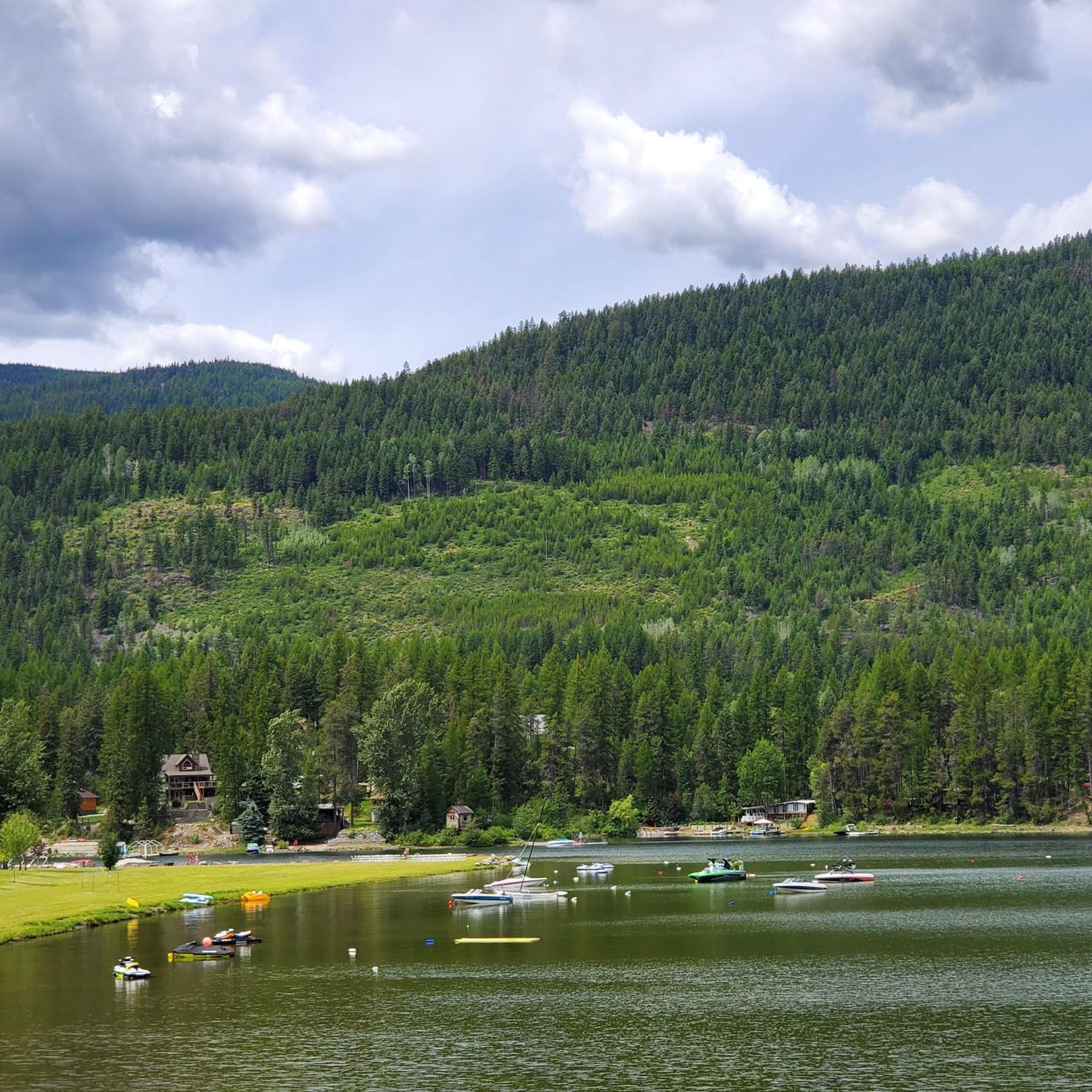
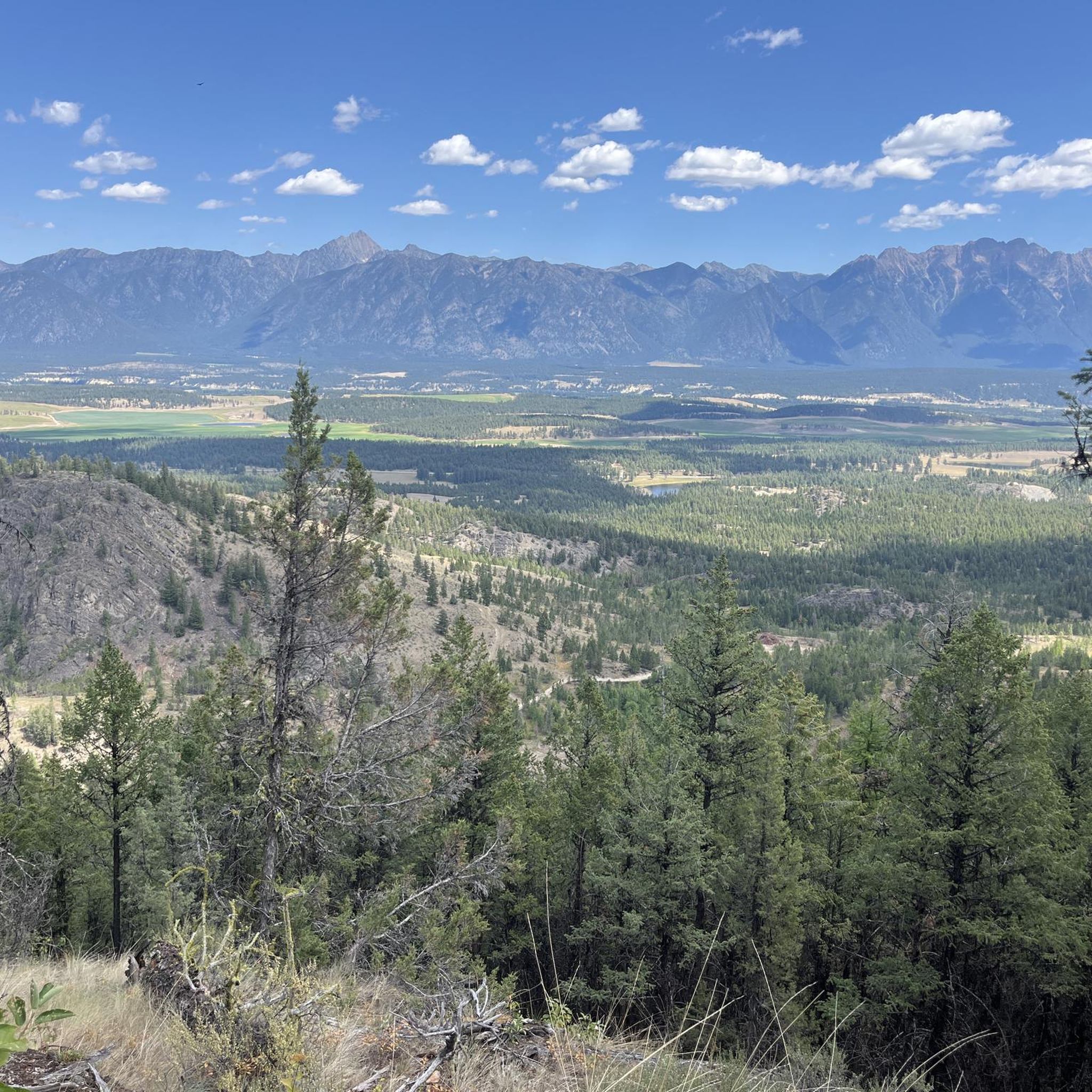

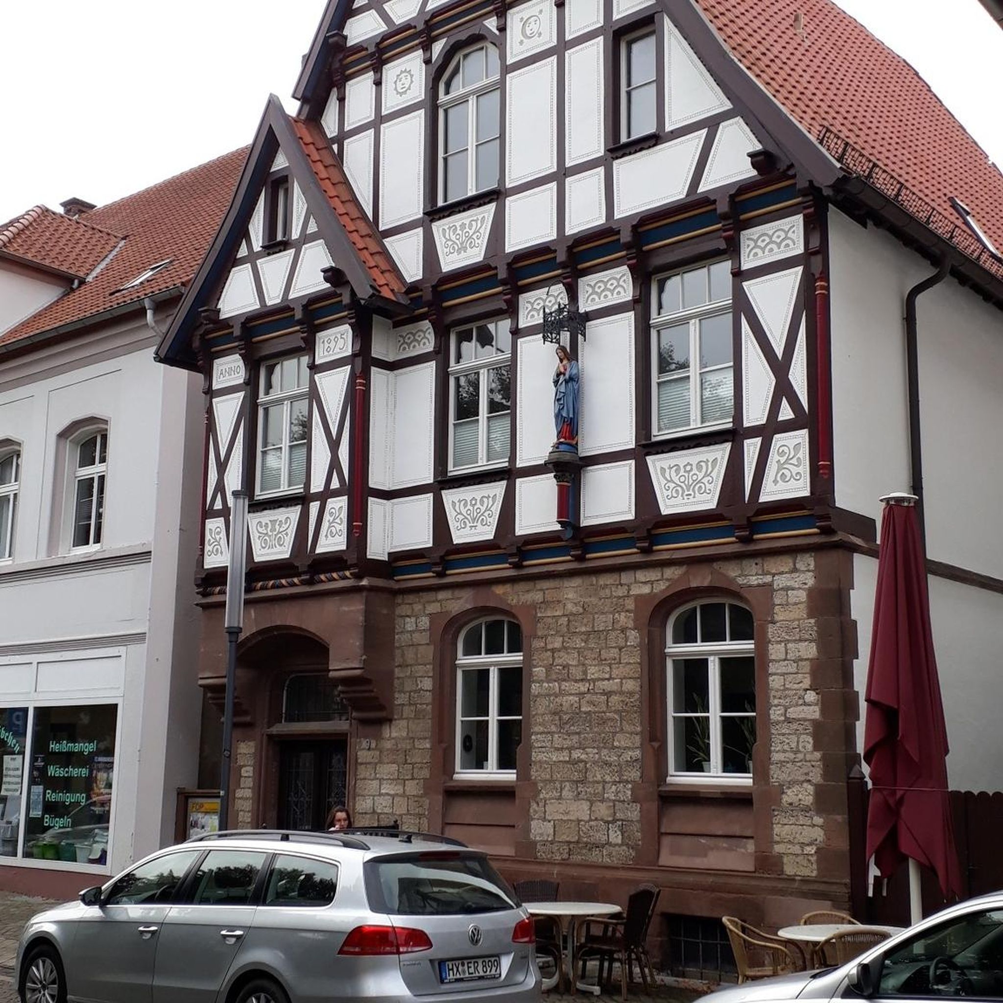
Tips from the Community

Here, the North Star Rail Trail crosses the St. Mary River. The river flows from St. Mary Lake through forested valleys toward the Kootenay River, and it's a well-known hub for water sports, from whitewater paddling to fly fishing. The views from the bridge are breathtaking!
0
0
Here in Marysville, along the North Star Rail Trail, you get a great peek into the Canadian Rockies. The trail connects Cranbrook and Kimberley as it runs between the Purcell Mountains and the Rocky Mountain Trench. You get a great view of southeastern BC's layered landscape, where grasslands become forests, and lakes and rivers flow through the valley. From here, you can clearly see Mount Fisher in Top of the World Provincial Park.
0
0

An asphalted rail trail between Cranbrook and Kimberly, a nice break from gravel!
1
0

Beautiful cycle path from the center of Kimberley to the ski slope
0
0

Frequently Asked Questions
What types of touring cycling routes can I find in Area C (Moyie/Bull River)?
Area C offers a diverse range of touring cycling routes, catering to various skill levels. You'll find everything from predominantly paved routes suitable for all fitness levels to more challenging trails with significant elevation changes and unpaved sections. Some routes are best enjoyed on a hardtail or rigid mountain bike, while others are manageable with bikes equipped with 47mm tires. The landscape includes scenic loops, forest service roads, and even parts of extensive bikepacking routes like the Great Divide Mountain Bike Route.
When is the best time of year for touring cycling in the Moyie/Bull River area?
The optimal time for touring cycling in Area C (Moyie/Bull River) is typically during July, August, and September. During these months, conditions are generally drier and more favorable, reducing issues like washouts or impassable stream crossings that can occur in spring or early summer.
Are there any easy touring cycling routes suitable for beginners or families?
Yes, there are routes suitable for all fitness levels. For an easier, mostly paved option, consider the View of the Highway Bridge – View of the St. Mary River loop from Cranbrook Mall Access Rd (WB). This route is 23.2 km (14.4 miles) and typically takes about 1 hour 25 minutes, offering a pleasant ride through varied landscapes.
What are some notable natural attractions or landmarks I might see while cycling?
The region is rich in natural beauty. You can expect to see the stunning, deep blue Moyie Lake, a unique 'kettle pond' lake, and the clear, cold Bull River, known for its excellent fly fishing. The lower eastern slopes of the Purcell Mountains provide a dramatic backdrop. You'll also traverse diverse forest types, including larch, Douglas fir, and lodgepole pine, offering opportunities for wildlife viewing.
Are there any challenging routes for experienced touring cyclists?
Absolutely. For experienced cyclists seeking a challenge, the View of the St. Mary River – View of the Highway Bridge loop from Grandview Heights FS Industrial Rd 2 (SB) is a difficult 68.2 km (42.4 miles) path featuring significant elevation changes and scenic views of the St. Mary River. Other challenging options include parts of the Bull River Road, which forms segments of extensive bikepacking routes.
Can I find circular touring cycling routes in Area C?
Yes, many of the touring cycling routes in Area C are designed as loops. For example, the View of the Highway Bridge – View of the St. Mary River loop from Theatre at McPhee (NB) is a moderate 44.3 km (27.5 miles) trail that offers a balanced cycling experience with varied elevation. The Baker Forest Trail also offers several loop options.
What kind of terrain should I expect on the touring cycling routes?
The terrain varies significantly. You'll encounter a mix of paved roads, unpaved forest service roads, and gravel sections. Some routes feature high-speed descents, while others wind through diverse forest types and valleys. Be prepared for varied conditions, as forest service roads can sometimes be affected by washouts or tree debris.
Are there any specific trails or roads known for adventure cycling?
For a more rugged touring experience, consider routes like the Moyie River Road and Kid Creek/Moyie River FSR. These serve as connectors between different areas and are well-suited for adventure cycling. The Bull River Road also offers rewarding downhill sections and picturesque views as part of larger bikepacking routes.
What do other touring cyclists say about their experience in Area C (Moyie/Bull River)?
The touring cycling routes in Area C (Moyie/Bull River) are highly rated by the komoot community, with an average score of 4.7 stars from over 10 reviews. Cyclists often praise the diverse terrain, scenic beauty, and the variety of routes available for different skill levels, from easy loops to challenging bikepacking segments.
Are there any historical sites or cultural points of interest along the routes?
The community of Moyie itself has a significant mining history dating back to the 1800s. While cycling, you might explore remnants of its past, including old building sites and structures like the 1907 fire hall and St. Peter's Church. The former St. Eugene Mine, once a prominent silver-lead mine, also leaves behind visible tailings and foundations, offering a glimpse into the region's heritage.
Where can I find a smoother, paved cycling experience?
For a smoother, asphalted ride, the Cranbrook–Kimberley Rail Trail offers a pleasant alternative to gravel routes. While not directly within the Moyie/Bull River area, it's a nearby option for those seeking a fully paved surface.
What should I know about conditions on forest service roads?
When cycling on forest service roads, be aware that conditions can fluctuate. Factors like washouts or tree debris can impact accessibility. Additionally, stream crossings may be impassable during spring or early summer due to higher water levels. It's always advisable to check local conditions before heading out, especially outside of the peak summer months.
Most popular routes around Area C (Moyie/Bull River)
Most popular attractions around Area C (Moyie/Bull River)

Get inspired with the komoot mobile app


Explore more
Browse the best Cycling routes in other regions.
