The best gravel rides around Burnaby
4.7
(107)
1,058
riders
17
rides
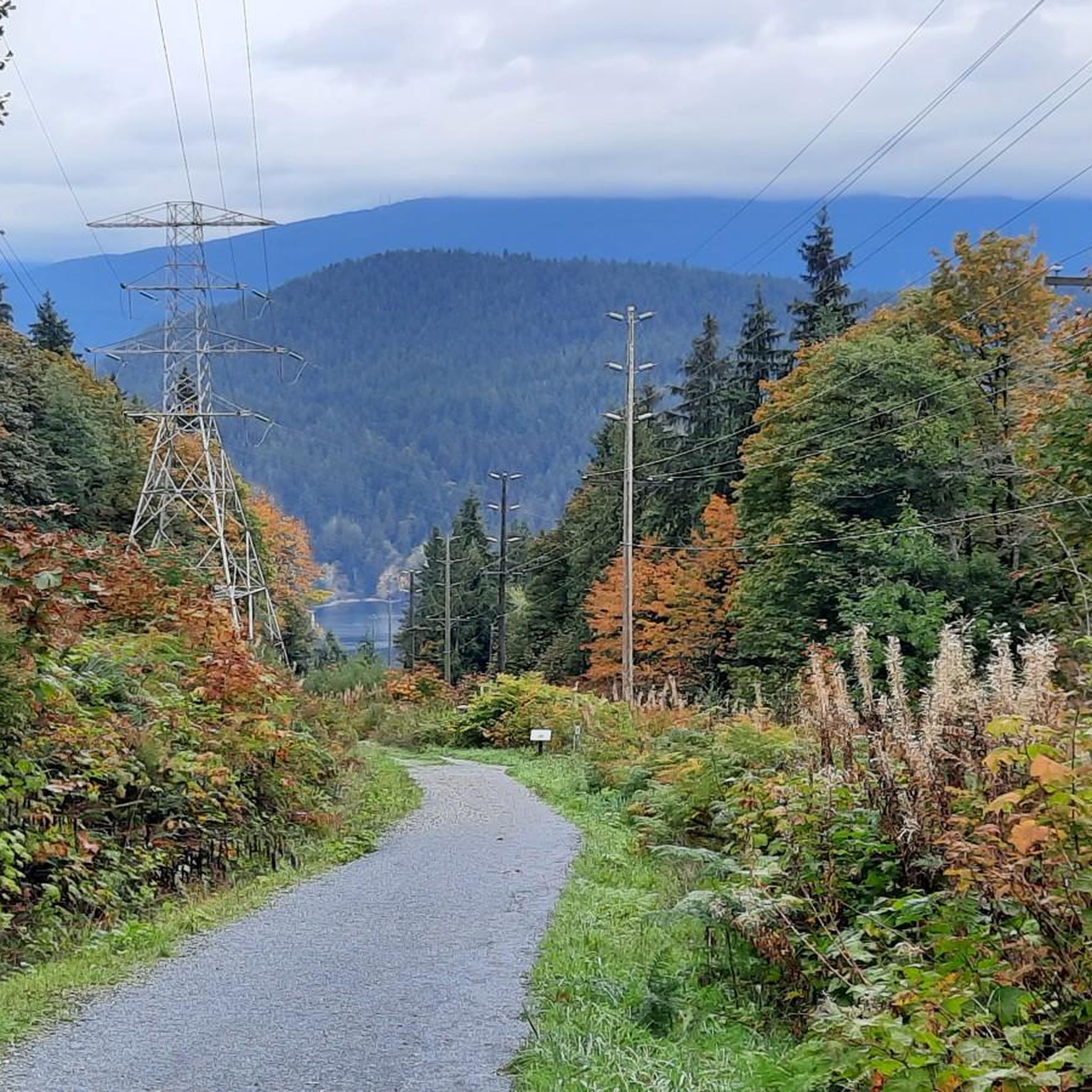
Gravel biking around Burnaby offers a diverse landscape characterized by rich deciduous and coniferous forests, significant elevation changes, and panoramic views of the Burrard Inlet and North Shore Mountains. The region features extensive parkland, including diverse wetlands and a large lake at Burnaby Lake Regional Nature Park, alongside tranquil lake and forest settings at Deer Lake Park. Riders can expect a mix of challenging climbs and winding paths, with some flatter, well-maintained gravel paths also available. This varied terrain provides a comprehensive experience for gravel cyclists.
Best gravel bike trails around Burnaby
- The most popular gravel bike trail is Seymour Demonstration Forest – Seymour Trailway loop from VCC–Clark, a 36.5 miles (58.8 km) trail that takes 3 hours 38 minutes to complete. This difficult route navigates through dense forests with notable elevation changes.
- Another top favourite among local gravel bikers is Halfway Hairpin – Seymour Lake Gazebo loop from Lougheed Town Centre, a difficult 46.5 miles (74.8 km) path. This route is known for its challenging nature and significant elevation gain, offering a demanding ride.
- Local gravel bikers also love the Pitt River Bridge – Central Valley Greenway loop from Gilmore, a 40.0 miles (64.4 km) trail leading through varied terrain, often completed in about 3 hours 26 minutes. This difficult route connects urban and natural sections, including parts of the Central Valley Greenway.
- Gravel biking around Burnaby is defined by rich deciduous and coniferous forests, diverse wetlands, and panoramic views of the Burrard Inlet. The network offers options for various ability levels, from challenging climbs to more leisurely paths.
- The routes in Burnaby are highly rated by the komoot community with an average score of 4.6 stars from over 100 reviews. More than 1,200 gravel bikers have used komoot to explore Burnaby's varied terrain.
Last updated: October 6, 2026
5.0
(15)
324
riders
58.7km
03:36
770m
770m
Hard gravel ride. Very good fitness required. Mostly paved surfaces. Suitable for all skill levels.
5.0
(10)
145
riders
74.9km
04:41
980m
980m
Hard gravel ride. Very good fitness required. You may need to push your bike for some segments of this route.

5.0
(4)
88
riders
78.1km
04:38
920m
920m
Hard gravel ride. Very good fitness required. Mostly paved surfaces. Suitable for all skill levels.
5.0
(4)
54
riders
32.7km
02:06
540m
540m
Hard gravel ride. Very good fitness required. You may need to push your bike for some segments of this route.
5.0
(1)
41
riders
64.2km
03:24
440m
440m
Moderate gravel ride. Good fitness required. Mostly paved surfaces. Suitable for all skill levels.
Get access to more routes and recommendations from other explorers.
Already have an account?
Our route recommendations are based on thousands of hikes, rides, and runs completed by other people on komoot.
Start today with a free account
Your next adventure awaits.
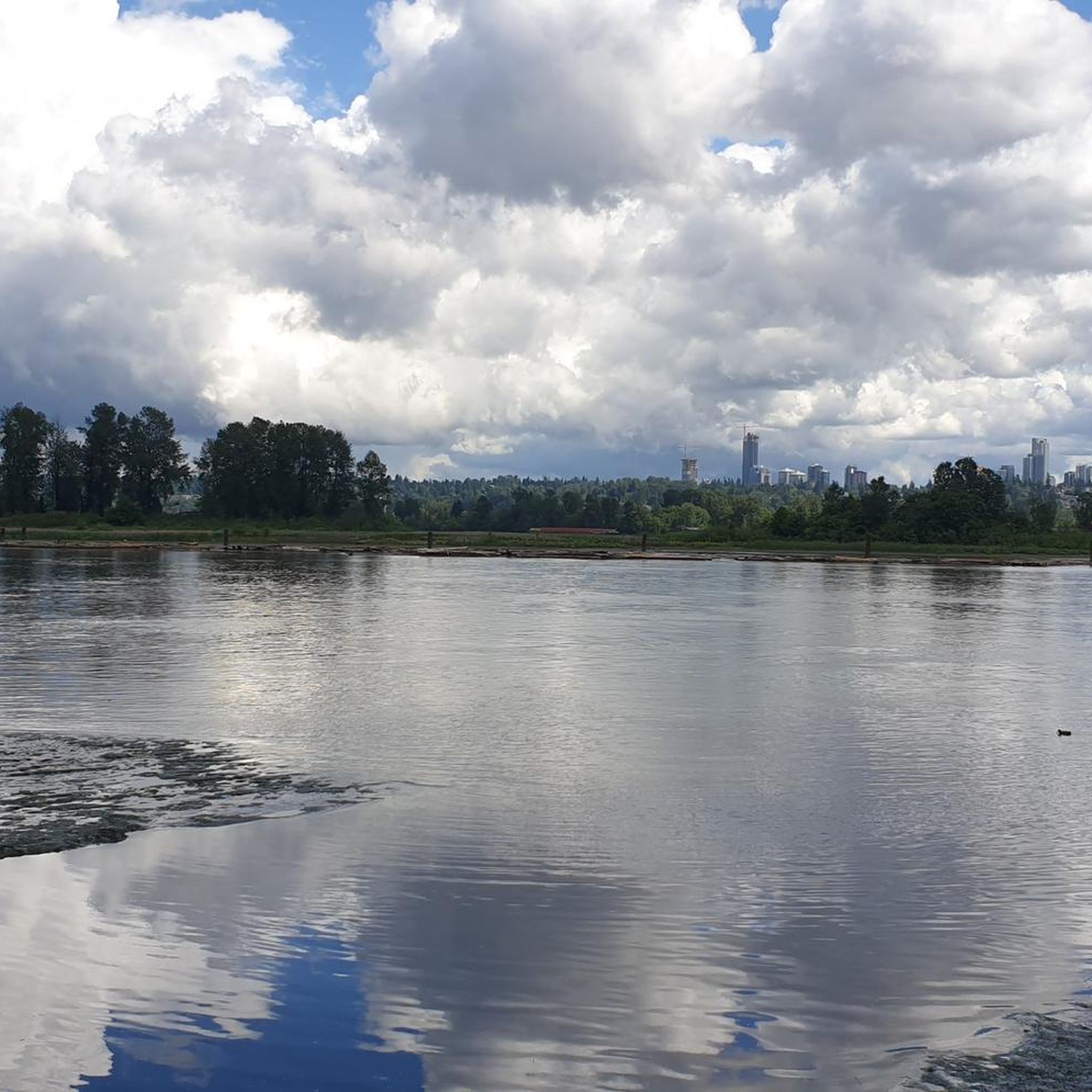
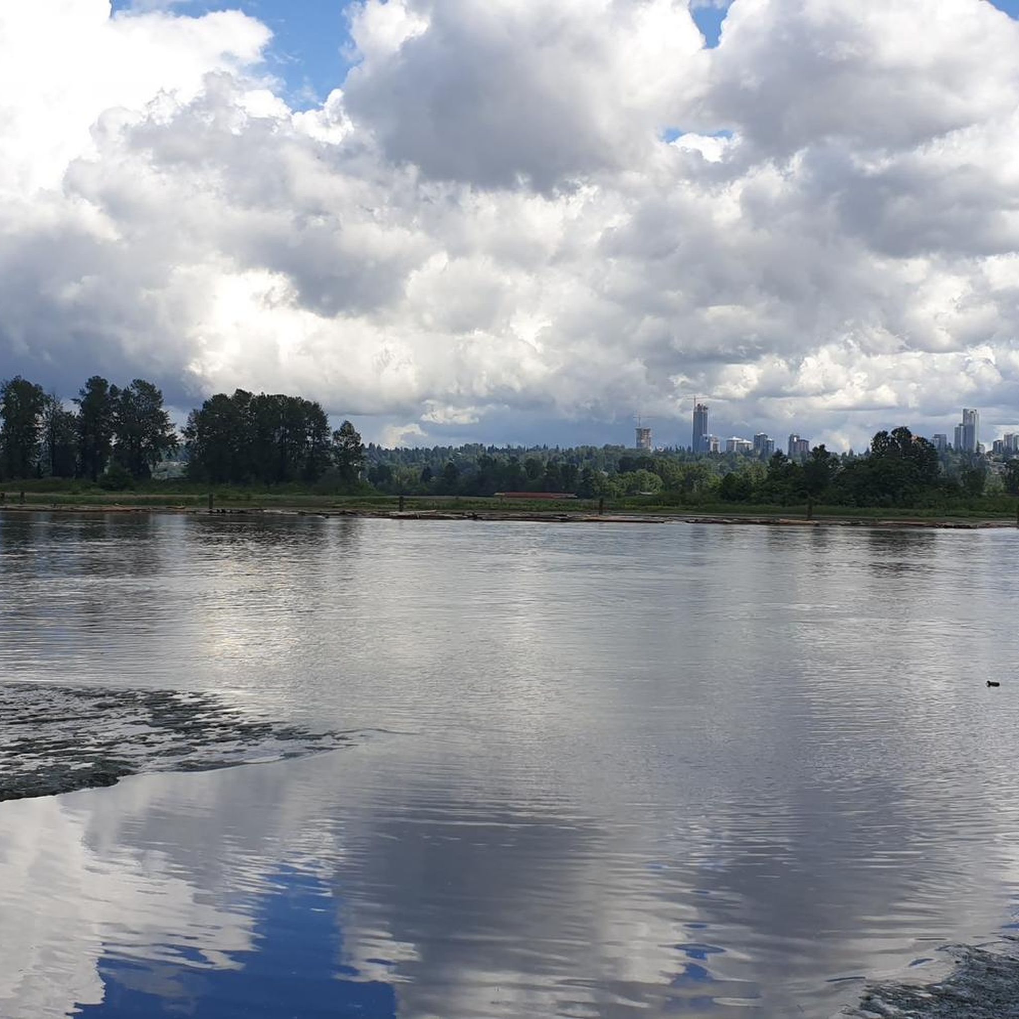
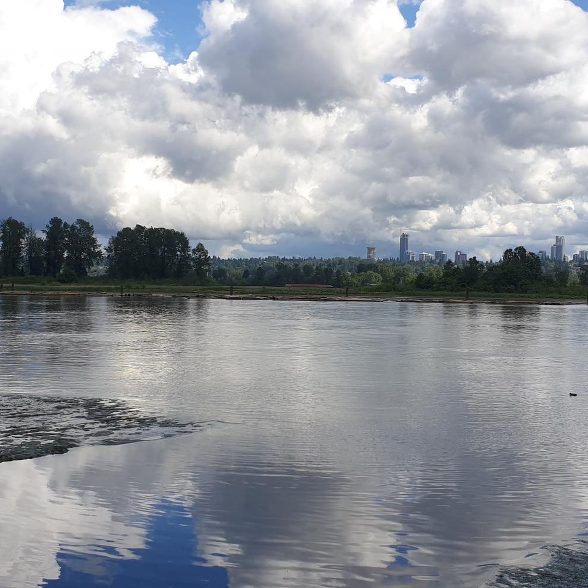
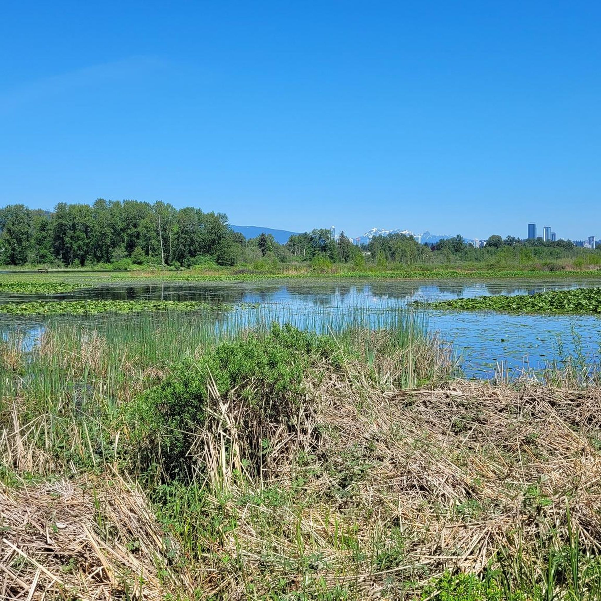
Tips from the Community

The Hyde Creek Salmon Hatchery is a small powerhouse of local conservation, run entirely by volunteers who raise thousands of coho and chum salmon each year. Its story began in the 1980s with a homemade backyard hatchery, complete with an old bathtub! Drop by on a Saturday morning when volunteers are usually around, and you may get a glimpse behind the scenes before heading back out to watch for salmon in Hyde Creek itself.
1
0

immersion not recommended due to poor water quality in a port area
0
0

Great reclaimed rail bed to ride on, keep a lookout for the community gardens enroute…one in particular is extremely cool!
0
0

The Central Valley Greenway, in Burnaby, is a well-used multi-use pathway, offering a safe and scenic route for cyclists, walkers, runners, and commuters. Stretching across Burnaby as part of a 24 to 25-kilometre regional greenway that connects Vancouver, Burnaby, and New Westminster, the trail follows a shallow valley that makes the route relatively flat and accessible for people of all ages and fitness levels.
0
0
In 2019, the City of Burnaby and the BC Labour Heritage Centre installed a bronze plaque at the site, naming the workers and describing the accident, as a way to acknowledge the dangerous conditions early railway labourers faced. The plaque sits right on the path, so you can read it without leaving the trail.
1
0

Here, the Avison Trail crosses over Stanley Park Causeway via a sidewalk on Stanley Park Drive and gives one of the best viewpoints over Lions Gate Bridge. There is an informational sign on the sidewalk about the bridge, and the viewpoints look straight down the bridge from between the forests.
1
0

This section of the Trans Canada Trail follows the wooded banks of the Coquitlam River through Coquitlam. The mostly gravel path runs through forested river habitat, offering a quiet stretch of trail where the sound of the river accompanies much of the walk. It’s a multi-use route popular with hikers, runners, and cyclists, and several bridges and viewpoints along the way provide good views over the river as it flows through the valley.
0
0

A really beautiful place to walk.
3
0
Frequently Asked Questions
How many gravel bike trails are available in Burnaby?
Burnaby offers a comprehensive network of over 30 gravel bike trails. These routes cater to a wide range of abilities, from easier paths to challenging, technical sections, ensuring there's something for every gravel cyclist.
What types of terrain can I expect on Burnaby's gravel bike trails?
You'll find a diverse range of terrain. Burnaby Mountain Conservation Area features challenging climbs, winding paths, and occasional loose gravel. In contrast, Burnaby Lake Regional Nature Park offers flatter, well-maintained gravel paths. Many routes blend urban sections with natural landscapes, providing varied scenery.
Are there any easy or family-friendly gravel bike routes in Burnaby?
Yes, Burnaby has 5 easy gravel bike routes, perfect for beginners or families looking for a more relaxed ride. These routes often feature flatter, well-maintained gravel paths, such as those found around Burnaby Lake Regional Nature Park, which are ideal for a leisurely outing.
Where can I find challenging gravel bike trails in Burnaby?
For experienced riders seeking a challenge, Burnaby offers 14 difficult gravel bike trails. The Halfway Hairpin – Seymour Lake Gazebo loop from Lougheed Town Centre is a demanding 74.8 km path with significant elevation gain. Another option is the Seymour Demonstration Forest – Seymour Trailway loop from VCC–Clark, a 58.8 km trail navigating dense forests with notable elevation changes.
Are there any gravel bike routes that offer scenic viewpoints?
Absolutely. Many trails, particularly those within the Burnaby Mountain Conservation Area, provide panoramic views of the Burrard Inlet and the North Shore Mountains. These routes often feature significant elevation changes, rewarding riders with stunning vistas.
What natural attractions can I see along the gravel bike trails in Burnaby?
Burnaby's trails often pass by or through beautiful natural areas. You can explore the diverse wetlands of Burnaby Lake Wetlands, home to abundant wildlife. Other routes might take you near tranquil spots like Lost Lagoon or Beaver Lake Water Lilies.
Are there any historical or cultural landmarks near the gravel biking routes?
Yes, some routes connect to areas with interesting landmarks. For instance, you might find yourself near the Totem Poles in Stanley Park or the iconic Gastown Steam Clock, depending on the specific route you choose. Barnet Marine Park also offers historical significance along its foreshore trails.
Can I access Burnaby's gravel trails using public transport?
Burnaby's bike routes are designed to connect the city and often utilize parts of the Trans Canada Trail, making them accessible from various points. Many routes start near public transport hubs, such as the Pitt River Bridge – Central Valley Greenway loop from Gilmore, which begins near a SkyTrain station, facilitating public transport access.
What do other gravel bikers say about the trails in Burnaby?
The gravel biking routes in Burnaby are highly rated by the komoot community, with an average score of 4.6 stars from over 100 reviews. Riders frequently praise the diverse landscapes, from challenging forest climbs to serene lake paths, and the excellent connectivity of the trail network.
Are there any loop gravel bike trails in Burnaby?
Many of Burnaby's gravel biking routes are designed as loops, offering a convenient way to explore without retracing your steps. Examples include the Lions Gate Bridge – English Bay Beach loop from Gilmore, which provides a comprehensive tour of varied terrain, and the Seymour Trailway – Seymour Demonstration Forest loop from Keith-Lynn.
What is the best time of year to go gravel biking in Burnaby?
Burnaby offers year-round gravel biking opportunities. While spring and fall provide pleasant temperatures and vibrant scenery, summer is ideal for longer rides. Even in winter, many trails remain accessible, though conditions can vary, especially on higher elevations like Burnaby Mountain, where some sections might be more rugged after rain.
Most popular routes around Burnaby
Most popular attractions around Burnaby

Get inspired with the komoot mobile app


Explore more
Browse the best Gravel rides in other regions.
