The best running trails around Burnaby
4.6
(21)
793
runners
90
runs
Jogging around Burnaby offers diverse natural landscapes and an extensive park system, providing a variety of terrains for all fitness levels. The city features numerous urban parks with well-maintained trails, including rubberized surfaces and gravel paths. Runners can explore tranquil lake paths, dense forests, and challenging hilly climbs within conservation areas. This varied environment makes Burnaby a suitable destination for both leisurely jogs and more vigorous running workouts.
Best jogging routes around Burnaby
- The most popular jogging route is Pathway with Tartan Surface loop from Metrotown, a 4.2 miles (6.7 km) trail that takes about 40 minutes to complete. This moderate route features a comfortable tartan surface, ideal for urban running.
- Another top favourite among local runners is Burnaby Lake – Observation Tower loop from Burnaby, a moderate 3.7 miles (6.0 km) path. This route offers extensive views around Burnaby Lake, winding through forests and wetlands.
- Local runners also love the Burnaby Lake loop from Burnaby, a 3.9 miles (6.3 km) trail leading through the scenic Burnaby Lake Regional Park, often completed in about 40 minutes.
- Jogging around Burnaby is defined by urban park trails, picturesque lake paths, and forested hills. The network provides options for easy, moderate, and difficult ability levels.
- The routes in Burnaby are highly rated by the komoot community with an average score of 4.5 stars from over 19 reviews. More than 1000 runners have used komoot to explore Burnaby's varied terrain.
Last updated: October 8, 2026
59
runners
10.1km
01:03
40m
40m
Moderate run. Good fitness required. Mostly paved surfaces. Suitable for all skill levels.
4.6
(5)
36
runners
9.92km
01:04
150m
150m
Moderate run. Good fitness required. Mostly paved surfaces. Suitable for all skill levels.

5.0
(1)
37
runners
12.9km
01:20
70m
70m
Moderate run. Good fitness required. Mostly paved surfaces. Suitable for all skill levels.
5.0
(4)
31
runners
Moderate run. Good fitness required. Mostly paved surfaces. Suitable for all skill levels.
5.0
(4)
29
runners
15.4km
01:36
110m
110m
Hard run. Very good fitness required. Mostly paved surfaces. Suitable for all skill levels.
Get access to more routes and recommendations from other explorers.
Already have an account?
Our route recommendations are based on thousands of hikes, rides, and runs completed by other people on komoot.
Start today with a free account
Your next adventure awaits.
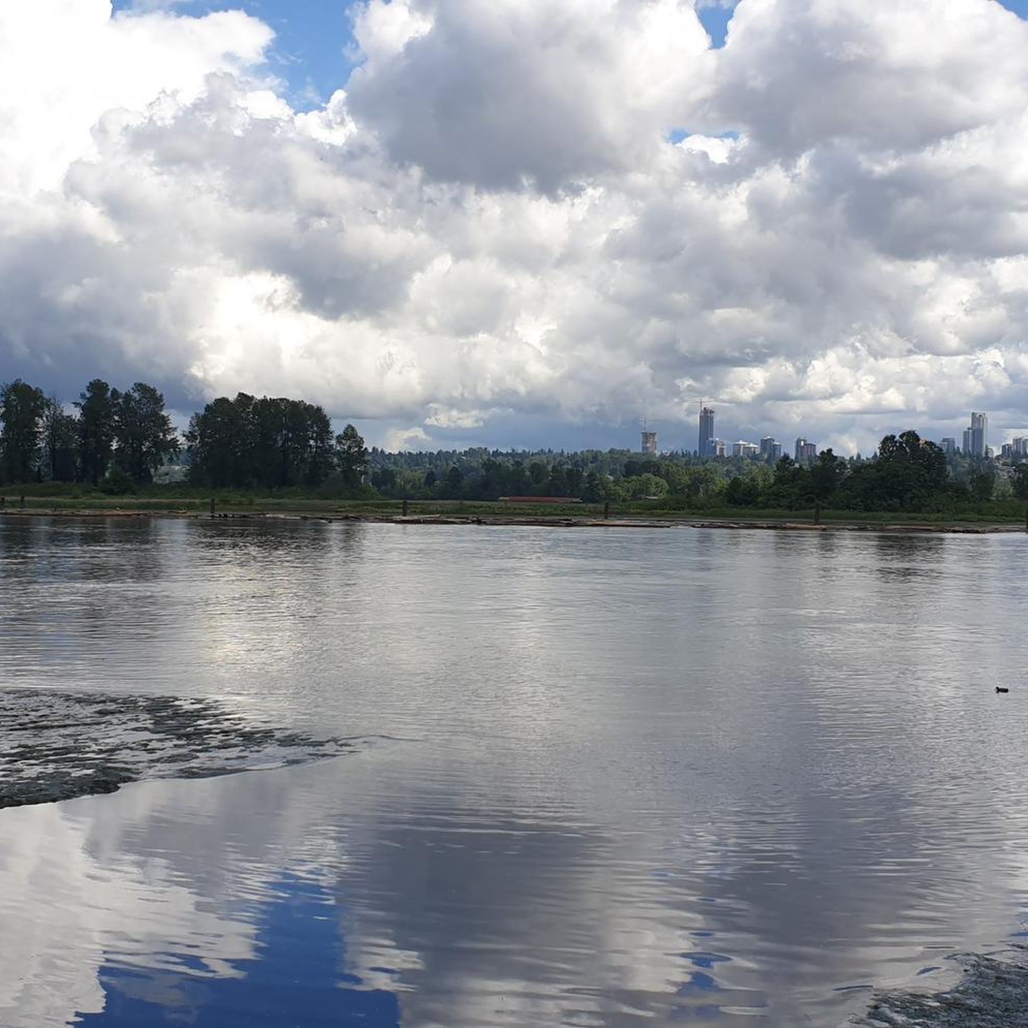
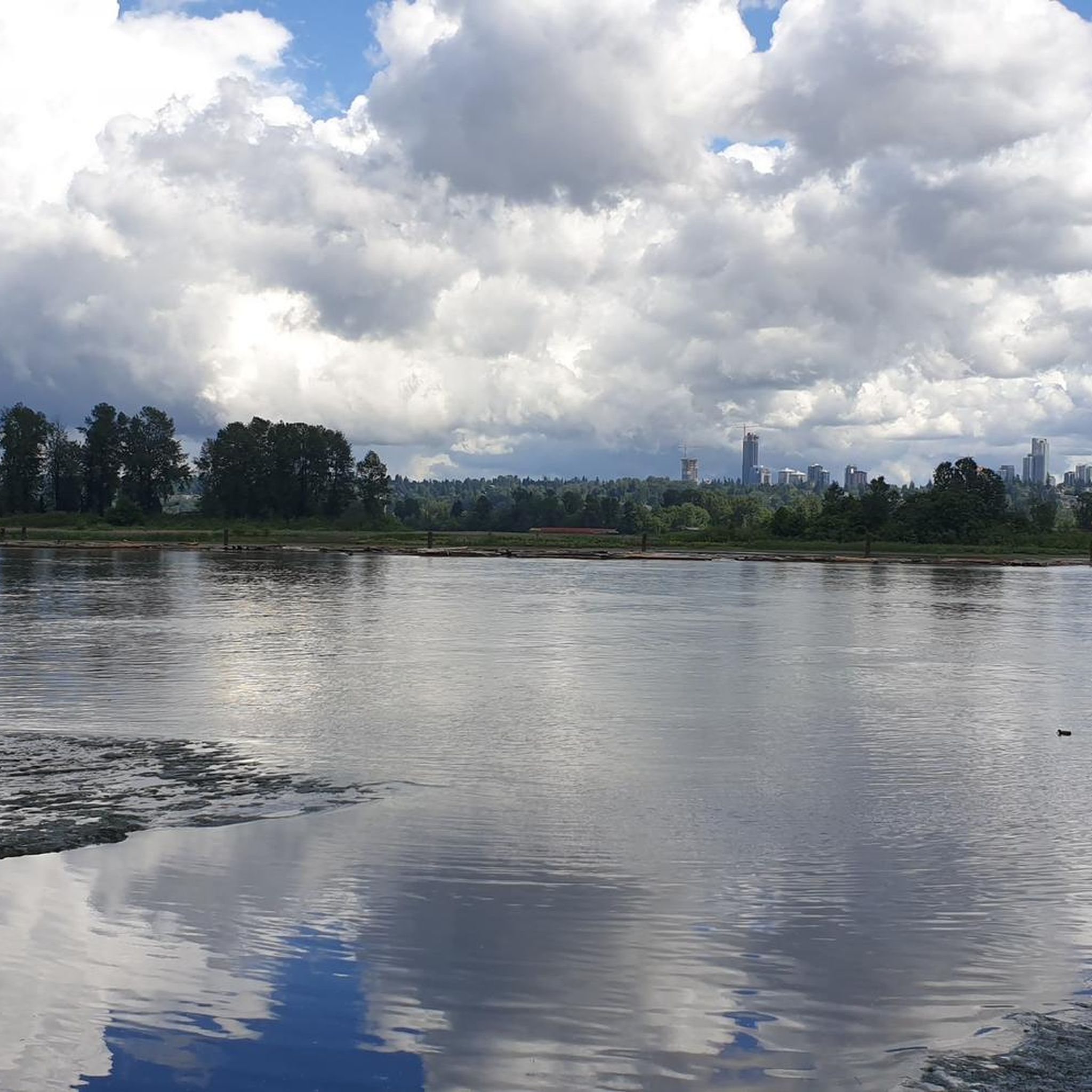
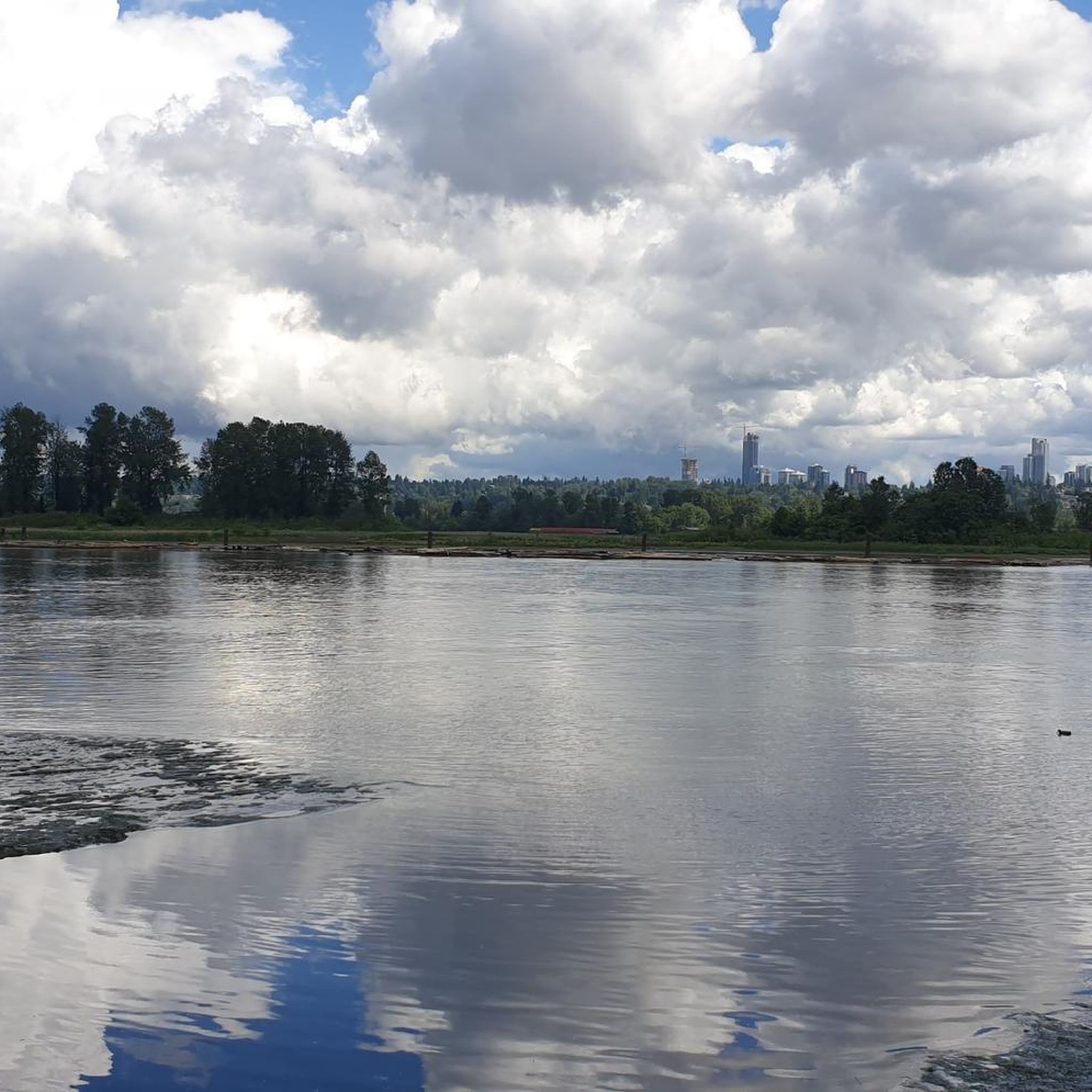

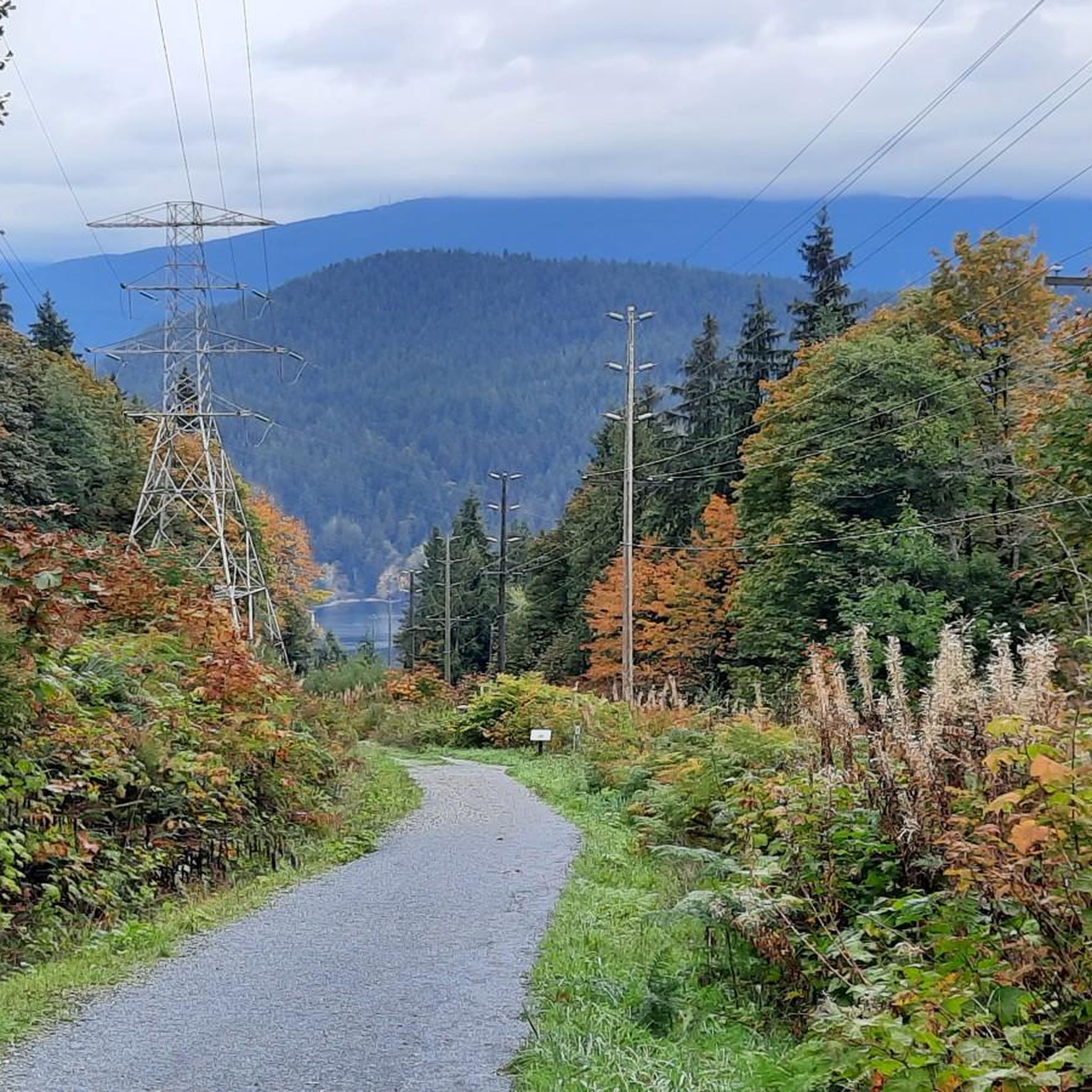
Tips from the Community

This is a pretty spot and there is a frisbee golf course here too.
0
0
Nice trails through the park with lots of picnic tables for enjoying a picnic lunch.
0
0

This flat, gravel trail runs between railroad tracks and Burnaby Lake. It's perfect for a family outing with multiple viewpoints along the way. You can take it as an out and back or combine it with other trails for a loop around the lake.
0
0
This 27-hectare park in Vancouver's Cedar Cottage neighbourhood has so much to offer it's no wonder that it is the heart of the neighbourhood. You'll find the usual park offerings like picnic area, playground, and sports fields but there's also Trout Lake in the middle of the park, 2 concession stands, hiking & biking trails, an indigenous medicine garden, and the Trout Lake Community Centre which has it's own wide range of amenities.
0
0

Central Park is a 90-hectare park located on the border of Vancouver and Burnaby. The park’s most popular attraction is its well-preserved temperate rainforest, but it also offers outdoor swimming pools, sports fields, picnic areas, playgrounds, tennis courts, and a handful of small ponds.
0
0

This statue honours the 36 soldiers from British Columbia that died in the Korean War. Each year, the Korean War Veterans Ceremony in Burnaby is held at this location to commemorate their memory and sacrifice.
0
0
Upper Pond is a pond within Central Park with picnic tables situated along it's western shore and a walking path around it.
0
0
Lower Pond is the bigger of two sizable ponds within Central Park. It's entirely encircled by a walkable path and has public restrooms and an eatery on its southeaster side.
0
0
Frequently Asked Questions
How many running routes are available in Burnaby?
Burnaby offers a wide selection of over 100 running routes, catering to various preferences and fitness levels. These include urban park trails, picturesque lake paths, and forested hills.
What do other runners enjoy most about the trails in Burnaby?
The running routes in Burnaby are highly rated by the komoot community, with an average score of 4.5 stars from over 20 reviews. Runners often praise the diverse natural landscapes, well-maintained trail networks, and the variety of terrains available, from flat paths to challenging climbs.
Are there any easy or beginner-friendly jogging paths in Burnaby?
Yes, Burnaby has several easy routes perfect for beginners or those seeking a relaxed run. For example, the Burnaby Lake loop from Burnaby is a moderate 6.3 km trail that takes about 40 minutes to complete, offering scenic views through Burnaby Lake Regional Park.
Where can I find challenging running trails with elevation gain in Burnaby?
For a more vigorous workout, Burnaby Mountain Conservation Area offers a network of trails suitable for trail running. The Velodrome Trail, known as the "Burnaby Grind," presents a steep climb with 500 stairs and a significant elevation gain, providing incredible panoramic views of Vancouver and the North Shore Mountains. Another challenging option is the Mel's Trail – Pipeline Trail loop from Metro Vancouver Regional District, a difficult 20.5 km route with substantial elevation changes.
Are there any circular running routes in Burnaby?
Many of Burnaby's popular running routes are circular, allowing you to start and finish at the same point. Notable examples include the Pathway with Tartan Surface loop from Metrotown, which is 6.7 km, and the Burnaby Lake – Observation Tower loop from Sapperton, a longer 19.6 km option.
What are some scenic viewpoints or landmarks I can see while running in Burnaby?
Burnaby offers several scenic spots. At Burnaby Mountain Conservation Area, you can enjoy panoramic views of Vancouver, the North Shore Mountains, and Burrard Inlet, along with the Centennial Rose Garden and the Kamui Mintara (Playground of the Gods) sculptures. Deer Lake Park provides tranquil lake views, while Barnet Marine Park offers stunning ocean and mountain vistas along Burrard Inlet. You might also spot highlights like the Burnaby Lake Wetlands.
Are there any dog-friendly running trails in Burnaby?
While specific dog-friendly designations for each route are not always listed, many of Burnaby's regional parks, such as Central Park, Deer Lake Park, and Robert Burnaby Park, generally welcome dogs on trails, often requiring them to be on a leash. It's always best to check local park regulations before heading out with your canine companion.
Are there running paths suitable for strollers or families with young children?
Yes, many of Burnaby's parks offer paved or well-maintained gravel paths that are suitable for strollers. Central Park features a 3.5-kilometer rubberized perimeter trail, which is exceptionally comfortable for running and ideal for families. Deer Lake Park also has extensive networks of trails, including a 2-mile perimeter path, that are generally flat and accessible.
Which running routes in Burnaby are accessible by public transport?
Many of Burnaby's parks and trails are well-served by public transport. For instance, Central Park is conveniently located near the Metrotown SkyTrain station, making the Pathway with Tartan Surface loop from Metrotown easily accessible. Burnaby Lake Regional Park also has public transport access points, allowing runners to reach trails like the Burnaby Lake – Observation Tower loop from Burnaby.
Are there long-distance running options in Burnaby?
For those looking for longer runs, Burnaby offers several routes that extend over 10 kilometers. The Burnaby Lake – Observation Tower loop from Sapperton is a challenging 19.6 km path, and a 12.1-kilometer portion of the Trans Canada Trail also crosses Burnaby, providing another excellent option for extended runs.
What kind of terrain can I expect on Burnaby's running trails?
Burnaby's running trails offer a diverse range of terrains. You can find comfortable rubberized surfaces in Central Park, extensive gravel paths around Burnaby Lake, and winding trails through dense forests and creek ravines in parks like Robert Burnaby Park. For a more rugged experience, Burnaby Mountain Conservation Area provides hilly and challenging trail running options.
Most popular routes around Burnaby
Most popular attractions around Burnaby

Get inspired with the komoot mobile app


Explore more
Browse the best Running Trails & Routes in other regions.
