The best gravel rides around Vancouver
4.8
(36)
627
riders
12
rides
Gravel biking around Vancouver offers a diverse landscape, characterized by its position between the Pacific Ocean and the Coast Mountains. The region features extensive temperate rainforests, numerous rivers, and a picturesque coastline with urban beaches. This varied terrain provides a blend of challenging mountain climbs, forested paths, and scenic waterfront routes, making it suitable for a wide range of gravel biking experiences.
Best gravel bike trails around Vancouver
- The most popular gravel bike trail is Seymour Demonstration Forest – Seymour Trailway loop from VCC–Clark, a 36.5 miles (58.8 km) difficult trail that takes 3 hours 37 minutes to complete, leading through the forested Lower Seymour Conservation Reserve.
- Another top favourite among local gravel bikers is View of English Bay – Jericho Beach Park loop from Broadway–City Hall, a moderate 22.4 miles (36.0 km) path. This route offers coastal views and passes through urban parks.
- Local gravel bikers also love the Lions Gate Bridge – English Bay Beach loop from Gilmore, a 50.1 miles (80.6 km) trail leading through coastal areas and past significant landmarks, often completed in about 6 hours 30 minutes.
- Gravel biking around Vancouver is defined by its coastal paths, dense forests, and mountain backdrops. The network offers options for various ability levels, from flat dyke trails to routes with significant elevation gains.
- The routes in Vancouver are highly rated by the komoot community with an average score of 4.7 stars from more than 40 reviews. More than 800 gravel bikers have used komoot to explore Vancouver's varied terrain.
Last updated: August 27, 2026
5.0
(13)
296
riders
58.7km
03:36
760m
760m
Hard gravel ride. Very good fitness required. Mostly paved surfaces. Suitable for all skill levels.
5.0
(3)
78
riders
78.0km
04:37
910m
920m
Hard gravel ride. Very good fitness required. Mostly paved surfaces. Suitable for all skill levels.

Sign up for free
5.0
(4)
54
riders
32.7km
02:06
540m
540m
Hard gravel ride. Very good fitness required. You may need to push your bike for some segments of this route.
41
riders
64.3km
03:24
440m
440m
Moderate gravel ride. Good fitness required. Mostly paved surfaces. Suitable for all skill levels.
52
riders
45.5km
02:44
600m
600m
Hard gravel ride. Very good fitness required. Mostly paved surfaces. Suitable for all skill levels.
Get access to more routes and recommendations from other explorers.
Sign up for free
Already have an account?
Our route recommendations are based on thousands of hikes, rides, and runs completed by other people on komoot.
Start today with a free account
Your next adventure awaits.
Login or Signup

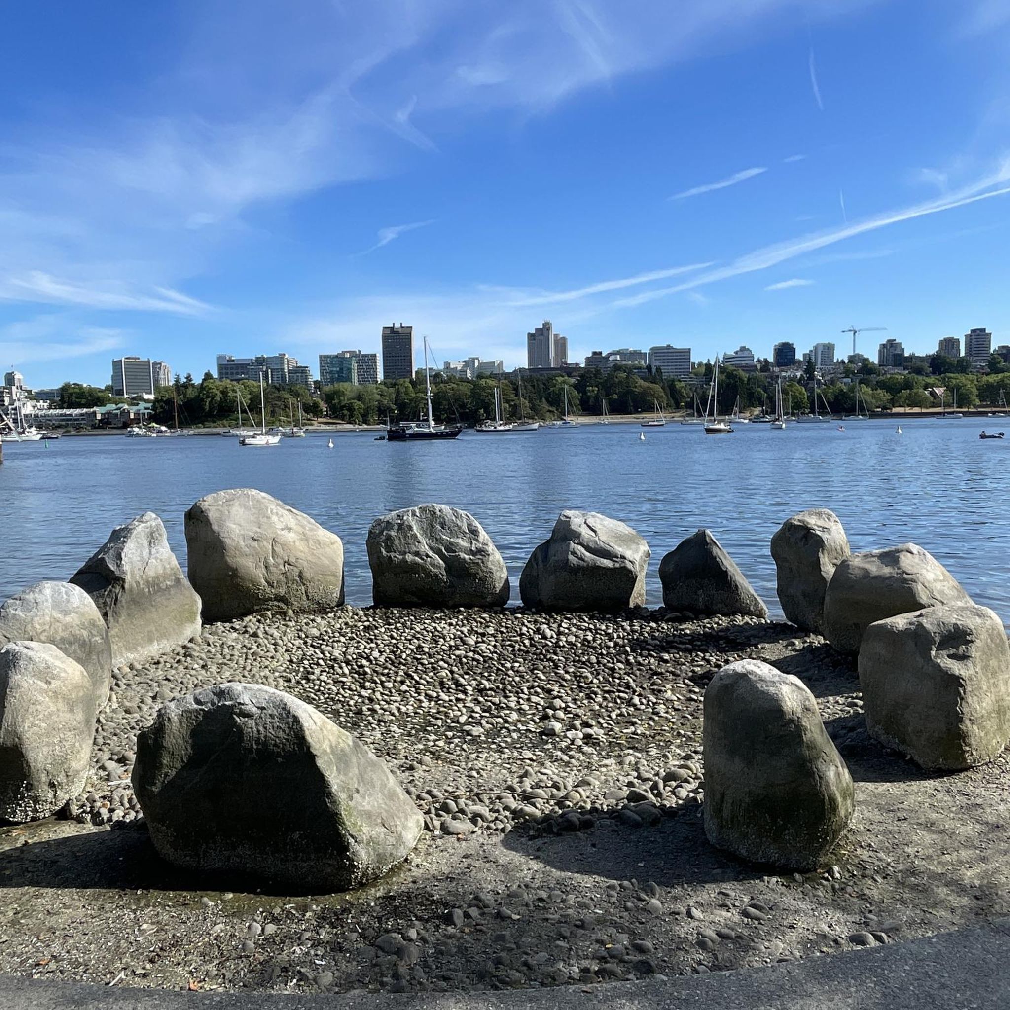
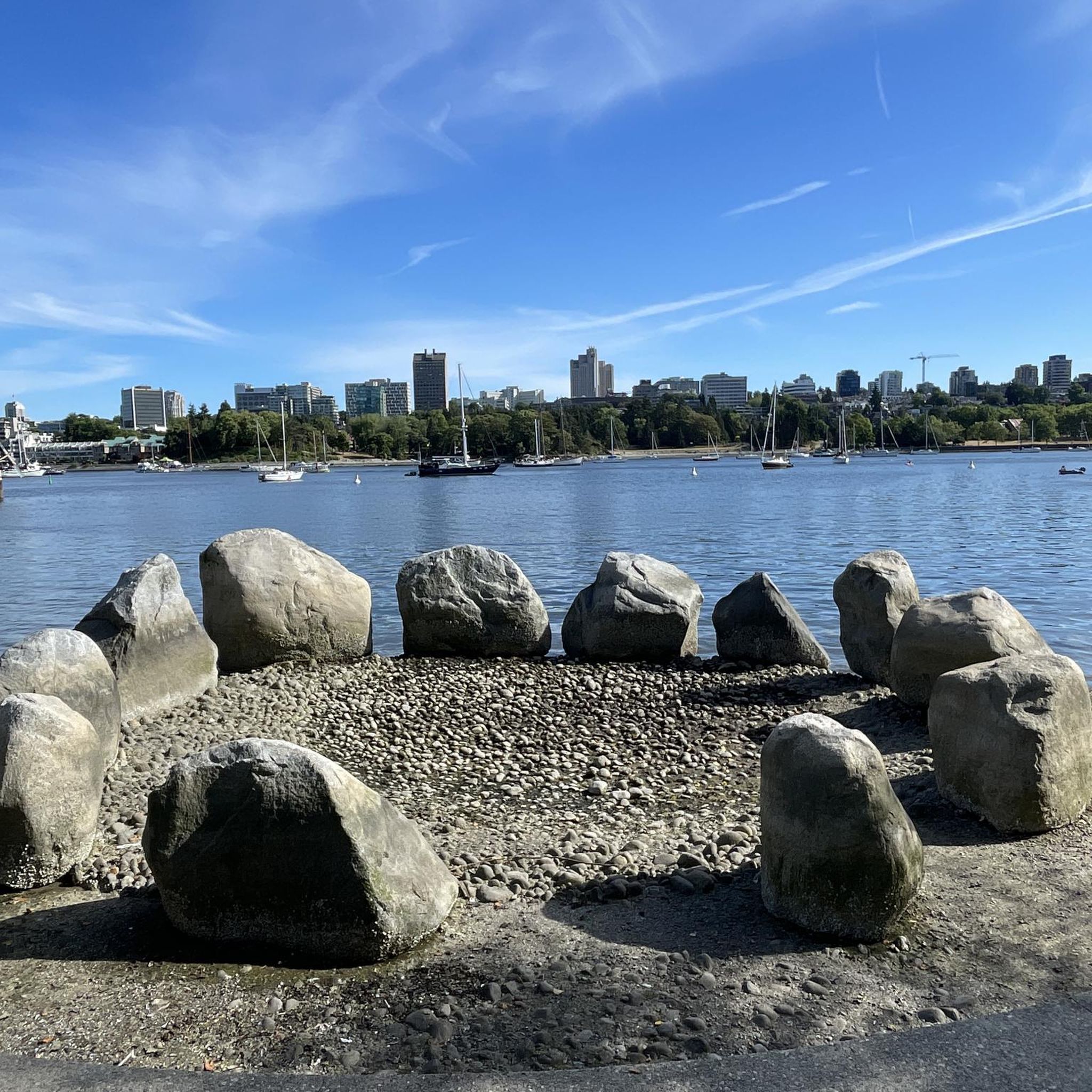
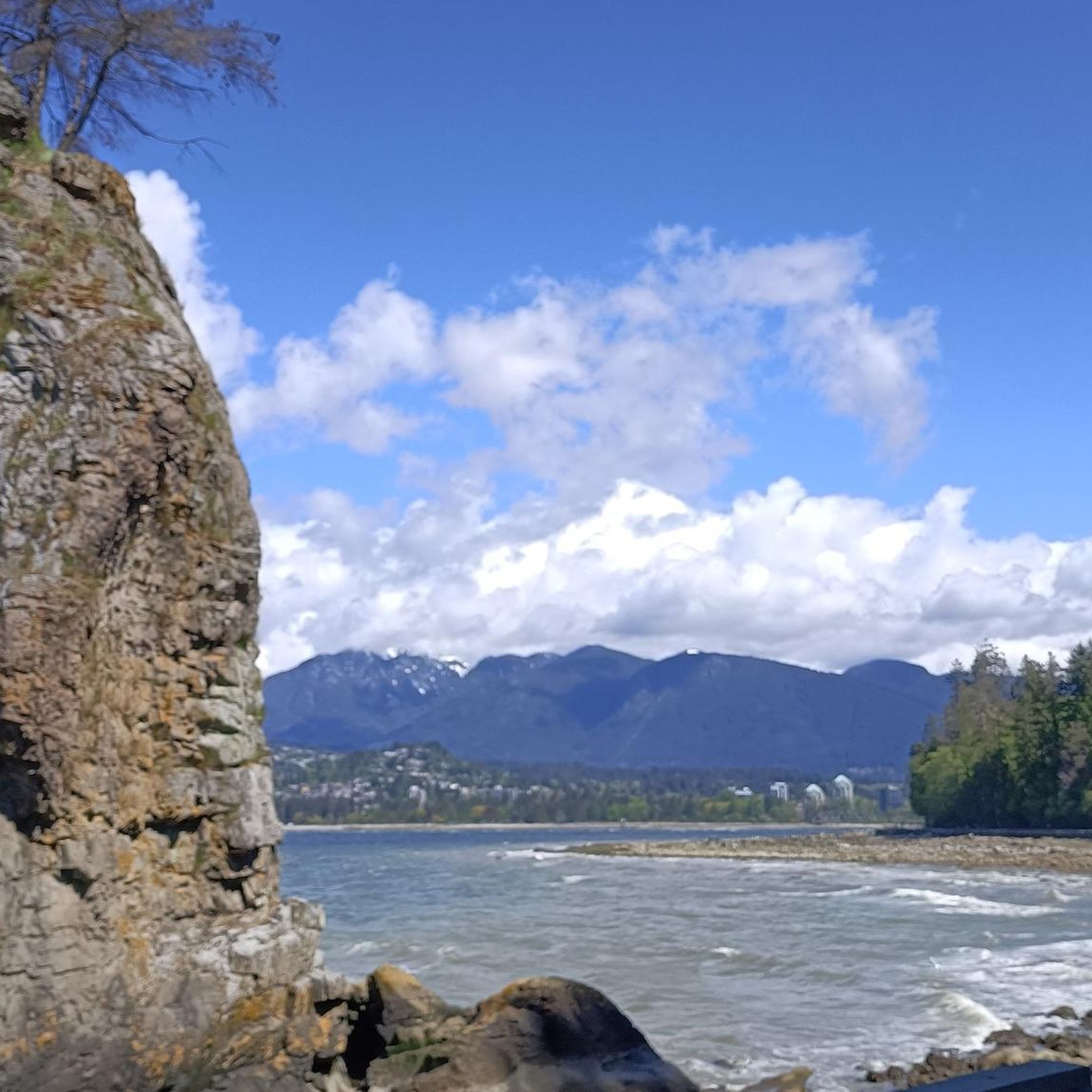
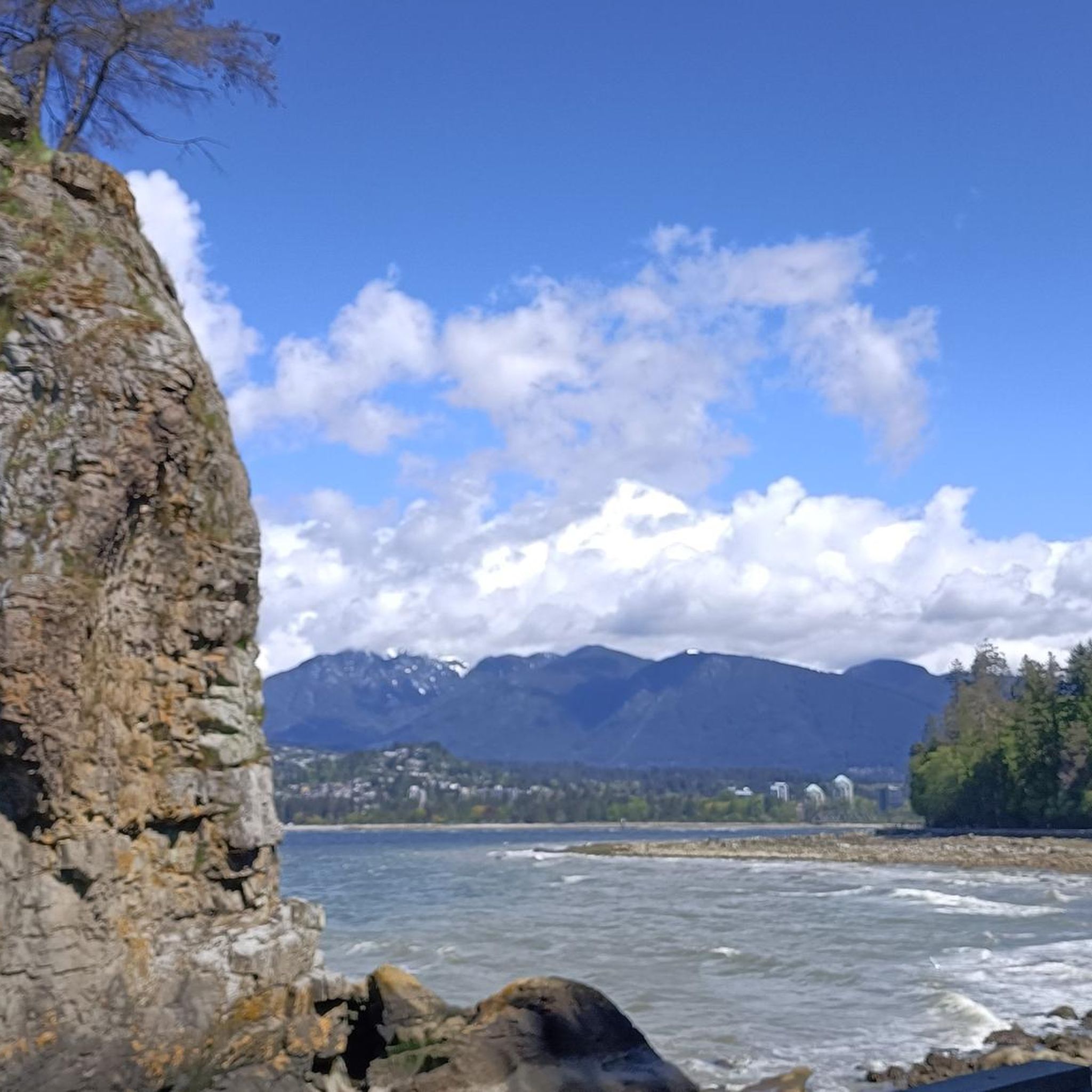
Other adventures around Vancouver

Tips from the Community

immersion not recommended due to poor water quality in a port area
0
0

Great reclaimed rail bed to ride on, keep a lookout for the community gardens enroute…one in particular is extremely cool!
0
0

The Central Valley Greenway, in Burnaby, is a well-used multi-use pathway, offering a safe and scenic route for cyclists, walkers, runners, and commuters. Stretching across Burnaby as part of a 24 to 25-kilometre regional greenway that connects Vancouver, Burnaby, and New Westminster, the trail follows a shallow valley that makes the route relatively flat and accessible for people of all ages and fitness levels.
0
0
In 2019, the City of Burnaby and the BC Labour Heritage Centre installed a bronze plaque at the site, naming the workers and describing the accident, as a way to acknowledge the dangerous conditions early railway labourers faced. The plaque sits right on the path, so you can read it without leaving the trail.
1
0

Here, the Avison Trail crosses over Stanley Park Causeway via a sidewalk on Stanley Park Drive and gives one of the best viewpoints over Lions Gate Bridge. There is an informational sign on the sidewalk about the bridge, and the viewpoints look straight down the bridge from between the forests.
1
0

This section of the Trans Canada Trail follows the wooded banks of the Coquitlam River through Coquitlam. The mostly gravel path runs through forested river habitat, offering a quiet stretch of trail where the sound of the river accompanies much of the walk. It’s a multi-use route popular with hikers, runners, and cyclists, and several bridges and viewpoints along the way provide good views over the river as it flows through the valley.
0
0

A really beautiful place to walk.
3
0
A very nice place to walk.
2
0
Frequently Asked Questions
How many gravel bike trails are available around Vancouver?
There are over 25 gravel biking routes documented around Vancouver, offering a wide range of experiences. These include 3 easy, 13 moderate, and 9 difficult trails, catering to various skill levels.
What kind of terrain can I expect on Vancouver's gravel bike trails?
Vancouver's gravel trails offer incredibly diverse terrain, from flat, scenic dyke trails with ocean views to challenging climbs in mountainous areas. You'll encounter lush temperate rainforests, coastal paths, and routes with significant elevation gains, often with dramatic backdrops of the Pacific Ocean and the Coast Mountains.
Are there any easy or beginner-friendly gravel biking routes in Vancouver?
Yes, Vancouver offers several routes suitable for beginners. Pacific Spirit Regional Park, for instance, has over 55 km of multi-use trails, many of which are smooth enough for those new to gravel biking, providing a peaceful escape under a rainforest canopy. The West Dyke Trail in Richmond also offers a relatively flat and scenic 6-kilometer gravel path.
Which gravel trails offer scenic viewpoints or natural attractions?
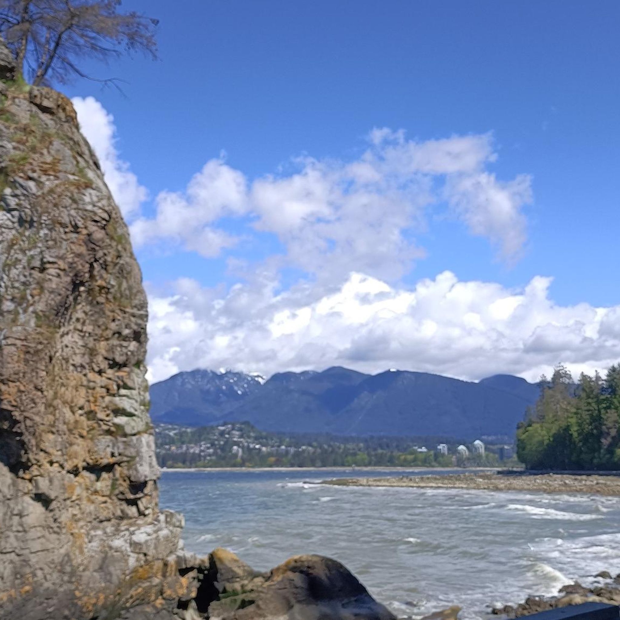
Many routes provide stunning views. For coastal vistas, consider the View of English Bay – Jericho Beach Park loop from Broadway–City Hall. If you're looking for natural monuments, you might pass by Siwash Rock (Slhx̱í7lsh) or explore areas near Lynn Canyon. The Pitt Lake area is also known for breathtaking views of the Coast Mountains and wildlife-rich wetlands.
Are there any challenging gravel bike routes for experienced riders?
Absolutely. For a significant challenge, the Grouse Mountain Highway in North Vancouver is a 12-kilometer rough gravel road climb gaining 800 meters. The Seymour Demonstration Forest – Seymour Trailway loop from VCC–Clark is another difficult option, leading through the forested Lower Seymour Conservation Reserve with considerable elevation gain. The Lower Seymour Conservation Reserve itself features unpaved roads like Fisherman's Trail and Spur 4 Road, ideal for more experienced riders.
Can I find gravel biking routes that are circular or loop trails?
Yes, many of Vancouver's gravel routes are designed as loops. For example, the Lions Gate Bridge – English Bay Beach loop from Gilmore offers a substantial 80.6 km circular ride. The West Dyke Trail can also be extended into a 16-kilometer loop using other local trails.
What do other gravel bikers say about the trails in Vancouver?
The gravel biking routes in Vancouver are highly rated by the komoot community, with an average score of 4.7 stars from over 40 reviews. Riders often praise the diverse landscapes, from coastal views to dense forests, and the variety of trails suitable for all ability levels.
Are there any routes accessible by public transport?
Vancouver's excellent public transport system, including SkyTrain and bus services, can get you close to many trailheads. Routes like the View of English Bay – Jericho Beach Park loop from Broadway–City Hall start from areas well-served by transit, making them convenient for city dwellers.
Which areas are good for family-friendly gravel biking?
For families, Pacific Spirit Regional Park offers many smooth, multi-use trails under a protective forest canopy. The West Dyke Trail in Richmond is also a great option, being relatively flat and offering pleasant views, suitable for a relaxed family outing.
Are there any gravel routes that pass by lakes or wetlands?
Yes, the region features several routes near beautiful water bodies. The Pitt Lake area is renowned for its stunning views of the Coast Mountains and wildlife-rich wetlands. You might also encounter Lost Lagoon or Burnaby Lake Wetlands on some routes, offering peaceful natural settings.
What are some notable landmarks I might see while gravel biking in Vancouver?
Depending on your chosen route, you could pass by iconic landmarks such as the Lions Gate Bridge, which is part of the Lions Gate Bridge – English Bay Beach loop from Gilmore. Within Stanley Park, you might spot the Totem Poles. The Dr. Sun Yat-Sen Classical Chinese Garden is also a unique cultural highlight in the city.
Are there any long-distance gravel routes available?
Yes, for longer rides, the Lions Gate Bridge – English Bay Beach loop from Gilmore covers over 80 kilometers. Another substantial option is the Pitt River Bridge – Central Valley Greenway loop from Gilmore, which is over 64 kilometers long, offering a full day's adventure.
Most popular routes around Vancouver
Most popular attractions around Vancouver

Get inspired with the komoot mobile app


Explore more
Browse the best Gravel rides in other regions.
