The best road cycling routes around Vancouver
4.4
(157)
9,492
riders
100
rides
Road cycling routes around Vancouver offer diverse terrain, from coastal paths to challenging mountain ascents. The region is characterized by its urban green spaces like Stanley Park, proximity to the Pacific Ocean, and the North Shore Mountains. Road cyclists can navigate routes that combine cityscapes with natural beauty, featuring significant bridges and varied elevation profiles.
Best road cycling routes around Vancouver
- The most popular road cycling route is Stanley Park Drive – Lions Gate Bridge loop from VCC–Clark, a 40.2 miles (64.7 km) trail that takes 3 hours 19 minutes to complete, offering extensive coastal views and a significant climb.
- Another top favourite among local road cyclists is Stanley Park Drive – View of English Bay loop from Oakridge-41st Avenue, a moderate 28.6 miles (46.1 km) path. This route provides scenic vistas of English Bay and winds through urban parkland.
- Local road cyclists also love the Mount Seymour Road Climb – Adanac Bikeway loop from Commercial–Broadway, a 34.2 miles (55.1 km) trail leading through mountainous terrain, often completed in about 3 hours 33 minutes.
- Road cycling around Vancouver is defined by coastal routes, urban park loops, and challenging mountain climbs. The network offers options for different ability levels, from easy rides around the city to difficult ascents in the surrounding hills.
- The routes in Vancouver are highly rated by the komoot community with an average score of 4.4 stars from over 150 reviews. More than 10,000 road cyclists have used komoot to explore Vancouver's varied terrain.
Last updated: August 29, 2026
4.6
(25)
1,185
riders
65.1km
03:09
660m
660m
Moderate road ride. Good fitness required. Mostly well-paved surfaces and easy to ride.
4.7
(18)
941
riders
Moderate road ride. Good fitness required. Some segments of this route may be unpaved and difficult to ride.

Sign up for free
4.6
(10)
568
riders
53.6km
03:24
1,180m
1,180m
Hard road ride. Very good fitness required. Some segments of this route may be unpaved and difficult to ride.
4.7
(9)
482
riders
Easy road ride. Great for any fitness level. Mostly well-paved surfaces and easy to ride.
4.8
(10)
430
riders
Moderate road ride. Good fitness required. Mostly well-paved surfaces and easy to ride.
Get access to more routes and recommendations from other explorers.
Sign up for free
Already have an account?
Our route recommendations are based on thousands of hikes, rides, and runs completed by other people on komoot.
Start today with a free account
Your next adventure awaits.
Login or Signup


Other adventures around Vancouver

Tips from the Community

You can walk down from the parking lot to a lookout point that peers between the treetops in the direction of Port Moody. The lookout is right along the road but separated from traffic by barricading.
0
0

Here, the Avison Trail crosses over Stanley Park Causeway via a sidewalk on Stanley Park Drive and gives one of the best viewpoints over Lions Gate Bridge. There is an informational sign on the sidewalk about the bridge, and the viewpoints look straight down the bridge from between the forests.
1
0
Ambleside Park is a stunning waterfront public space on the shores of Howe Sound across the water from downtown Vancouver. This path is open for walking, jogging, or biking along the park's wide seaside boardwalk, which connects to the Centennial Seawalk. Looking south, freighters and sailboats dot the waters under the Vancouver skyline. The beach is a mix of sand and pebbles, popular for sunbathing, beachcombing, and swimming. Even dogs can enjoy the park in the designated off-leash zone. The park also has golfing, baseball, and pickleball fields, plenty of activities for everyone.
1
0

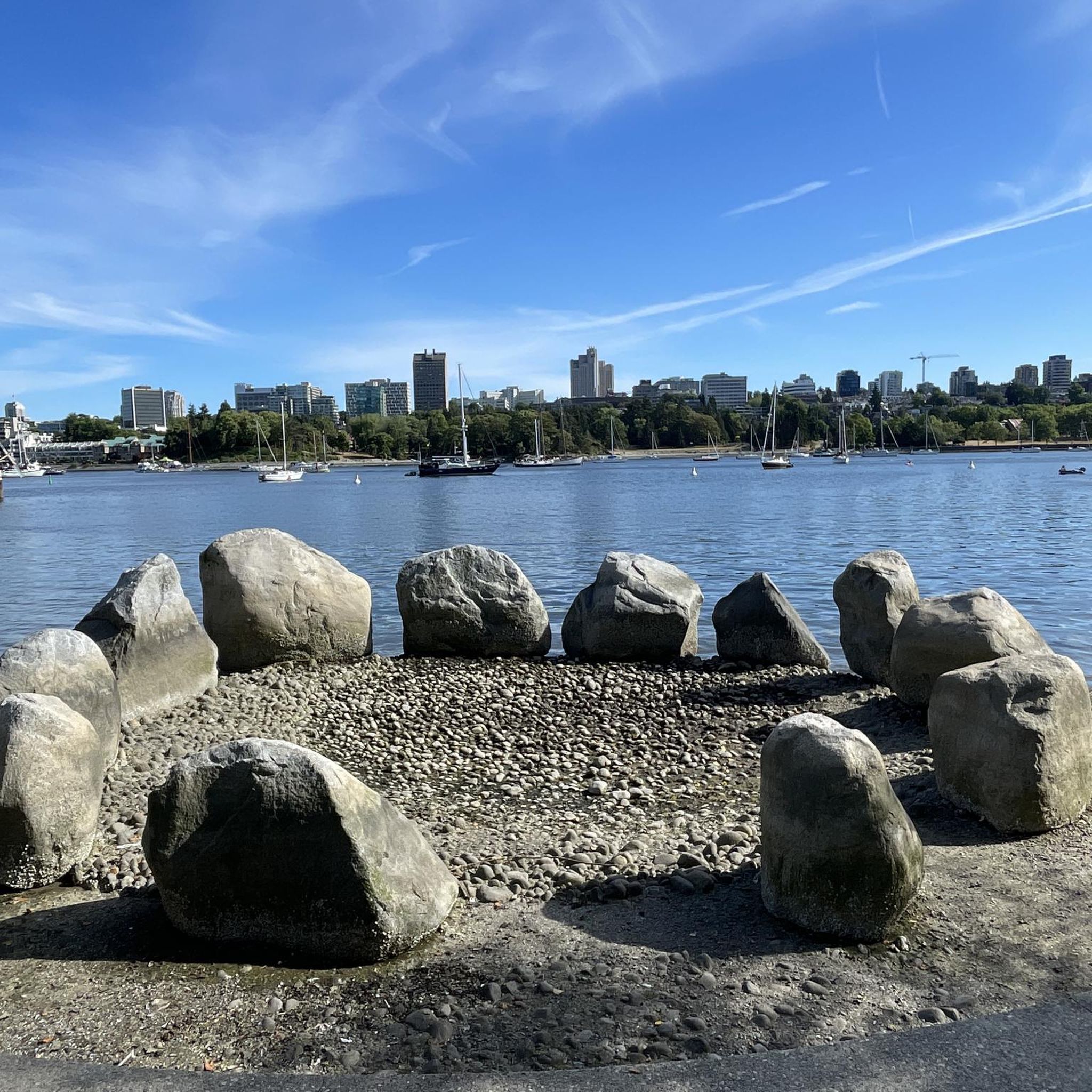
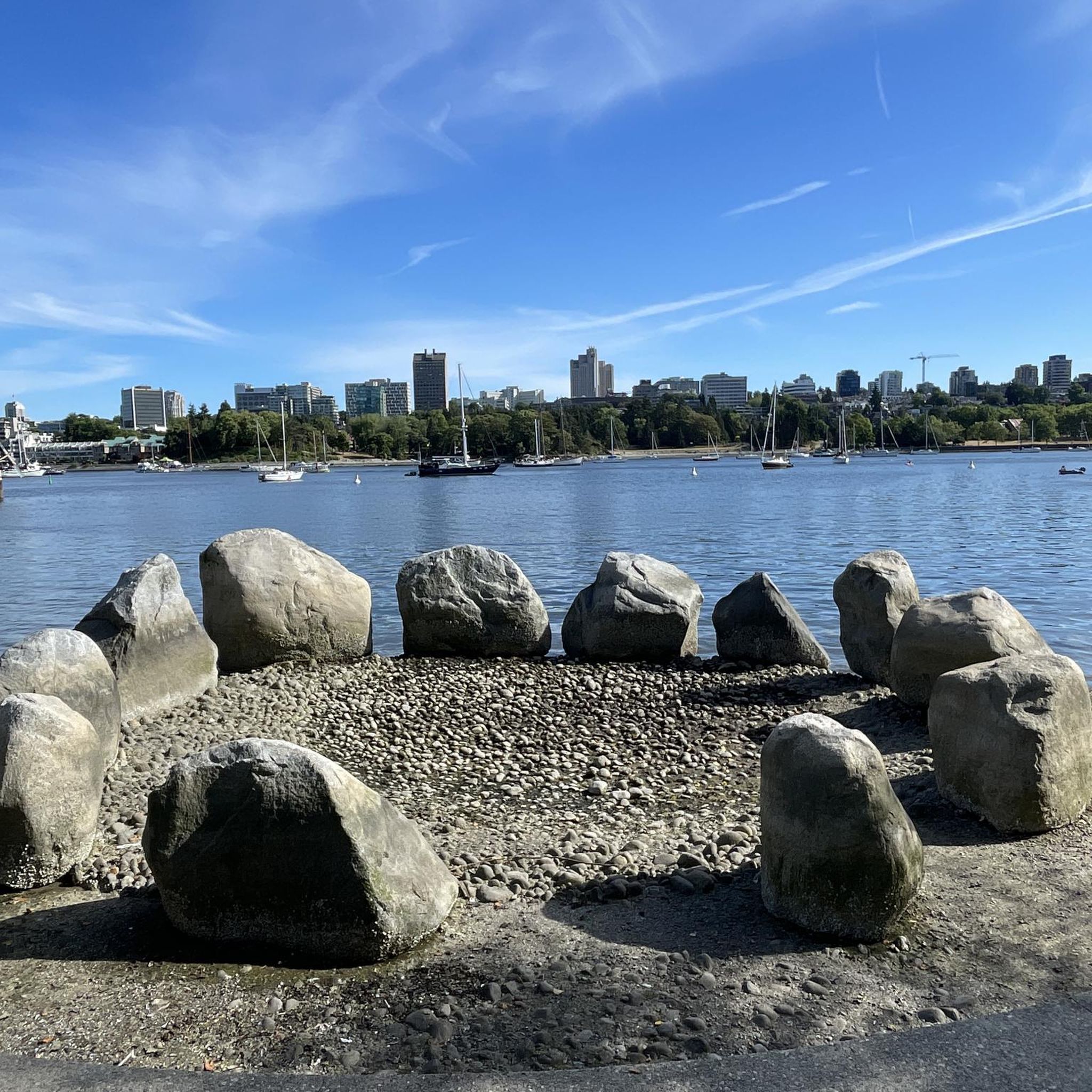
Really super nice sculptures
3
0
On the east side of the bridge’s northern end, near the base of the bridge is a memorial to honor 27 workers who lost their lives on June 17, 1958, when a section of the original Second Narrows Bridge collapsed during construction.
0
0
The bike and foot path on the Ironworkers Memorial Bridge is part of the Spirit Trail and regional cycling network. It spans 1.3 km across Second Narrows, sitting 60 meters above the water. This well-maintained paved trail has awesome views of Downtown Vancouver, Mount Seymour, and the North Shore Mountains. It can get loud and often windy up there.
1
0

Useful path to keep you off the major roads and getting unalived....
0
0
A nice monument to workers who lost their lives.
0
0
Frequently Asked Questions
Are there easy road cycling routes suitable for beginners in Vancouver?
Yes, Vancouver offers several easy road cycling routes. For instance, the Lions Gate Bridge – Prospect Point Viewpoint loop from Commercial–Broadway is an accessible option, covering 25.8 km with moderate elevation gain, perfect for those new to road cycling or looking for a relaxed ride.
What are some options for longer road cycling routes around Vancouver?
For those seeking longer distances, the Stanley Park Drive – Lions Gate Bridge loop from VCC–Clark is a popular choice, extending over 64.7 km. This route offers extensive coastal views and a significant climb, providing a good challenge for endurance.
Are there challenging road cycling climbs for experienced riders in Vancouver?
Absolutely. Vancouver's proximity to the North Shore Mountains means there are demanding climbs. The Mount Seymour Road Climb – Adanac Bikeway loop from Commercial–Broadway is a prime example, featuring over 1200 meters of elevation gain across 55.1 km, ideal for experienced cyclists looking for a strenuous workout.
What is the best time of year for road cycling in Vancouver?
The best time for road cycling in Vancouver is typically from late spring through early autumn (May to October). During these months, the weather is generally milder and drier, offering ideal conditions for exploring both coastal paths and mountain ascents. Winter cycling is possible but often requires more preparation due to rain and cooler temperatures.
Can I access road cycling routes in Vancouver using public transport?
Many road cycling routes in Vancouver are accessible via public transport. Routes often start near major transit hubs, such as those originating from VCC–Clark, Oakridge-41st Avenue, Commercial–Broadway, or Stadium–Chinatown, making it convenient to reach the starting points without a car.
What kind of scenic viewpoints can I expect along Vancouver's road cycling routes?
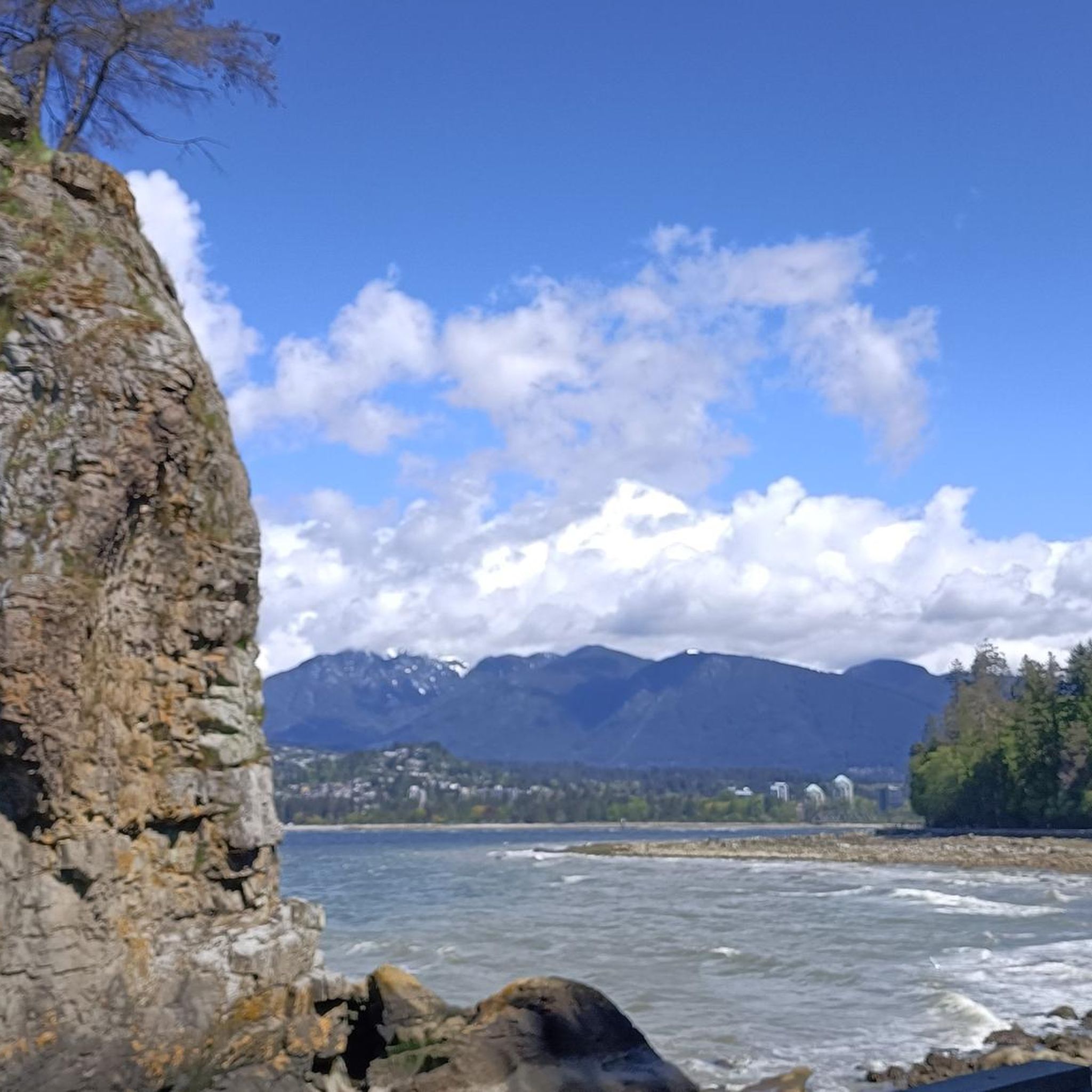
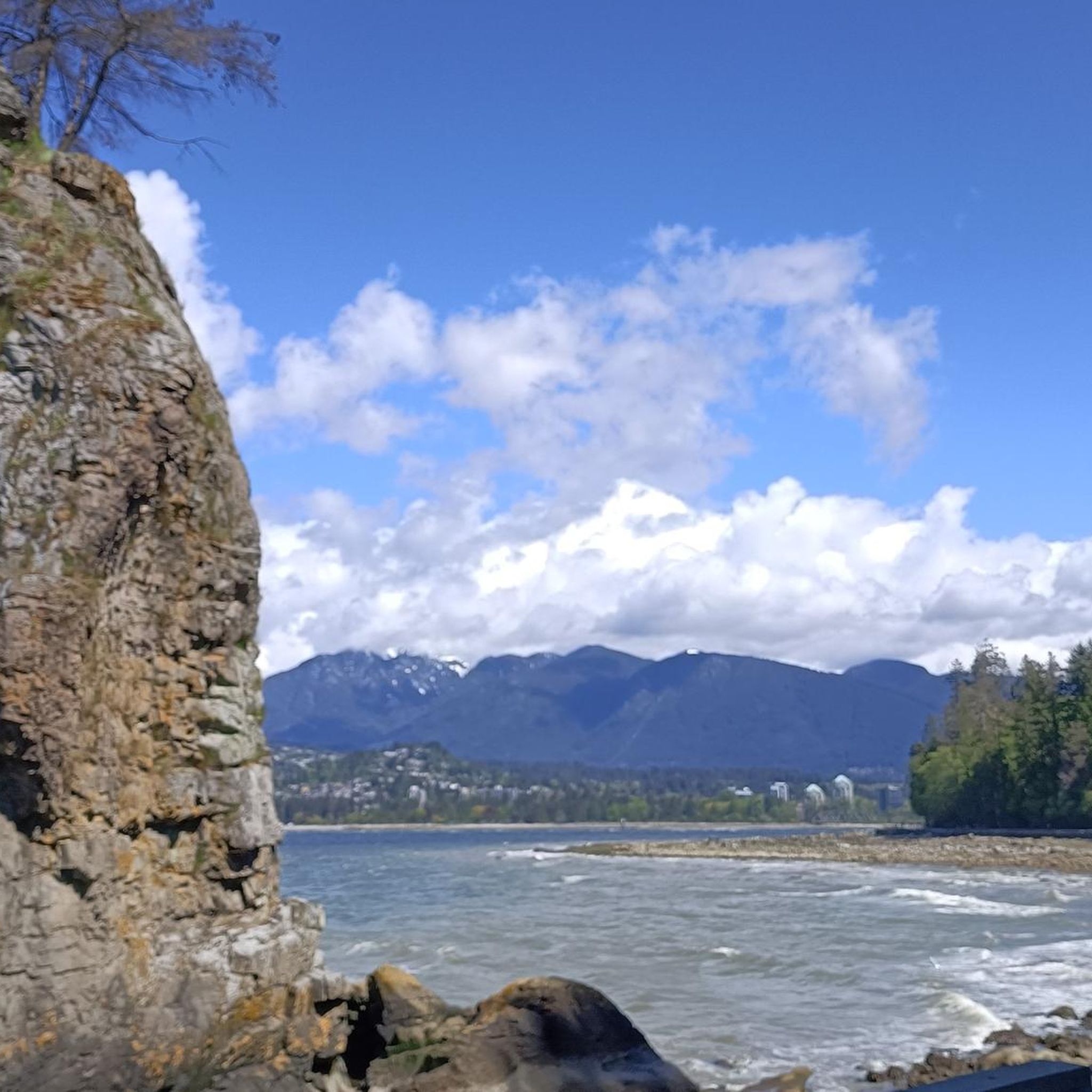
Vancouver's road cycling routes offer breathtaking scenic viewpoints. You can expect stunning vistas of the Pacific Ocean, English Bay, and the North Shore Mountains. Routes often pass by iconic landmarks like the Lions Gate Bridge and offer glimpses of natural features such as Siwash Rock (Slhx̱í7lsh) and the beautiful English Bay Beach.
Are there circular road cycling routes available in Vancouver?
Yes, many road cycling routes in Vancouver are designed as loops, allowing you to start and end at the same point. A popular example is the Stanley Park Drive – View of English Bay loop from Oakridge-41st Avenue, which provides a moderate 46.1 km circular path through urban parkland with scenic bay views.
What do other road cyclists enjoy most about road cycling in Vancouver?
The komoot community highly rates road cycling in Vancouver, with an average score of 4.4 stars from over 150 reviews. Cyclists frequently praise the diverse terrain, which combines urban green spaces and coastal paths with challenging mountain climbs, as well as the stunning natural beauty and well-maintained routes.
Are there any interesting landmarks or attractions to see along the road cycling routes?
Yes, Vancouver's road cycling routes often pass by significant landmarks and attractions. You can cycle past the famous Totem Poles in Stanley Park, enjoy views of Siwash Rock, or even catch a glimpse of the historic Gastown Steam Clock on routes that venture into the city.
How do road cycling options differ between North Vancouver and West Vancouver?
Road cycling in North Vancouver tends to feature more challenging climbs and mountainous terrain, leading to areas like Mount Seymour. West Vancouver, while still offering elevation, often includes routes with stunning ocean views and access to coastal roads. Both areas provide distinct and rewarding experiences for road cyclists.
Are there less crowded road cycling options near Vancouver?
While popular routes like those around Stanley Park can be busy, exploring routes further into the North Shore Mountains or lesser-known loops outside the immediate city center can offer a more tranquil experience. Early mornings or weekdays are generally the best times to find quieter roads on any route.
Where can I find parking for road cycling routes in Vancouver?
Parking availability varies by route. For routes starting in urban areas, public parking garages or street parking may be an option, though often paid. For routes venturing into parks or more natural areas, designated parking lots are usually available. It's advisable to check specific starting points for the best parking solutions.
Most popular routes around Vancouver
Most popular attractions around Vancouver

Get inspired with the komoot mobile app


Explore more
Browse the best Road cycling routes in other regions.
