The best running trails in Samuel P. Taylor State Park
111
runners
28
runs
Jogging in Samuel P. Taylor State Park offers diverse landscapes, from serene redwood forests and shady canyon groves along Lagunitas Creek to open, oak-studded grasslands and the rolling hills leading up to Mount Barnabe. The park spans 2,882 acres, providing varied terrains suitable for different running preferences. These natural features create a dynamic environment for runners, with cooler, shaded paths in the canyons and more challenging inclines on the hills.
Best jogging routes in Samuel P. Taylor State Park
- The most popular jogging route is Stairstep Falls & Barnabe Mountain loop — Samuel P. Taylor State Park, an 8.5 miles (13.7 km) trail that takes 1 hour 40 minutes to complete. This route features challenging climbs and rewarding views from Barnabe Mountain.
- Another top favourite among local runners is San Geronimo Ridge and Kent Lake Loop, a difficult 11.0 miles (17.6 km) path. This route offers varied terrain across ridges and scenic stretches near Kent Lake.
- Local runners also love the Barnabe Mountain loop from Samuel P. Taylor State Park, a 14.7 miles (23.7 km) trail leading through rolling hills and offering expansive vistas, often completed in about 3 hours 10 minutes.
- Jogging in Samuel P. Taylor State Park is defined by redwood forests, rolling hills, and creek-side paths. The extensive network offers options for different ability levels, from accessible paths to more strenuous mountain climbs.
- The guide includes highly-rated routes that showcase the best of the region's landscape. More than 190 runners have used komoot to explore Samuel P. Taylor State Park's varied terrain.
Last updated: May 27, 2026
3
runners
13.7km
01:41
450m
450m
Hard run. Very good fitness required. Mostly paved surfaces. Suitable for all skill levels.
1
runners
17.6km
02:27
660m
660m
Hard run. Very good fitness required. Mostly paved surfaces. Suitable for all skill levels.

7
runners
Moderate run. Good fitness required. Mostly paved surfaces. Suitable for all skill levels.
7
runners
Moderate run. Good fitness required. Mostly paved surfaces. Suitable for all skill levels.
23.8km
03:16
770m
770m
Hard run. Very good fitness required. Mostly paved surfaces. Suitable for all skill levels.
Get access to more routes and recommendations from other explorers.
Already have an account?
Our route recommendations are based on thousands of hikes, rides, and runs completed by other people on komoot.
Start today with a free account
Your next adventure awaits.
Popular around Samuel P. Taylor State Park
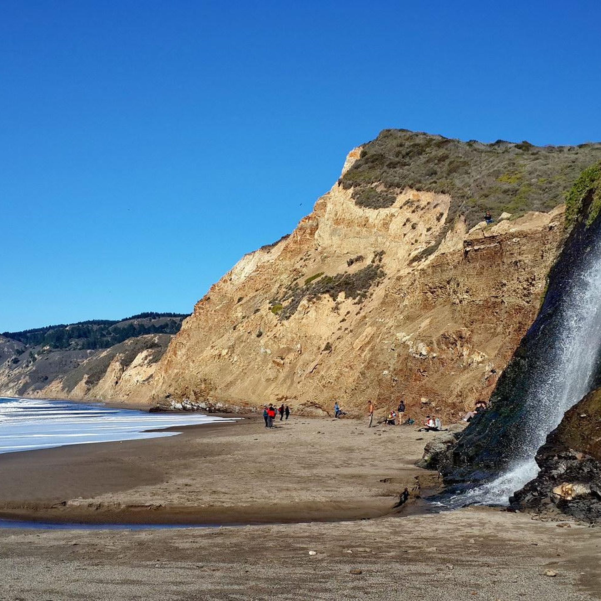
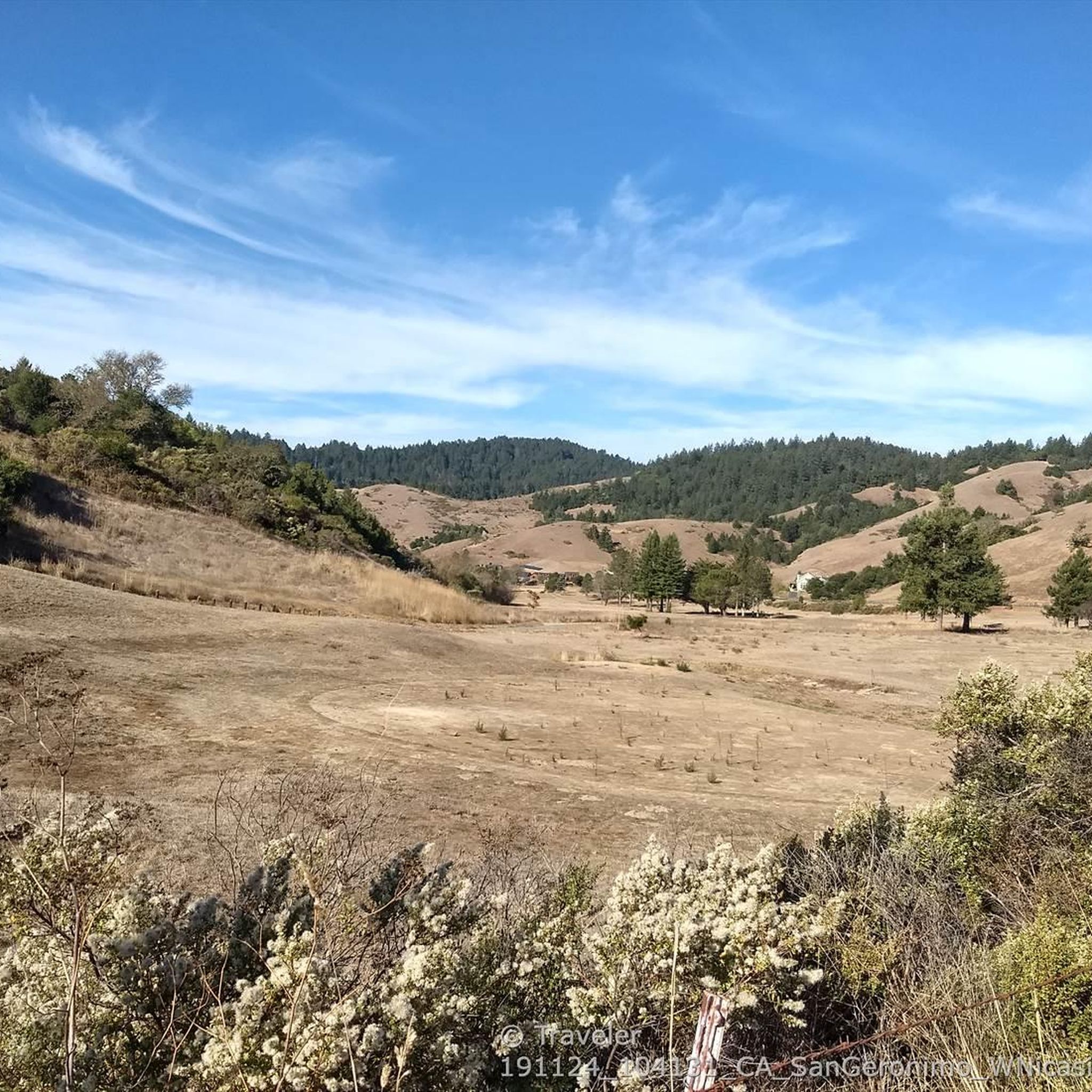
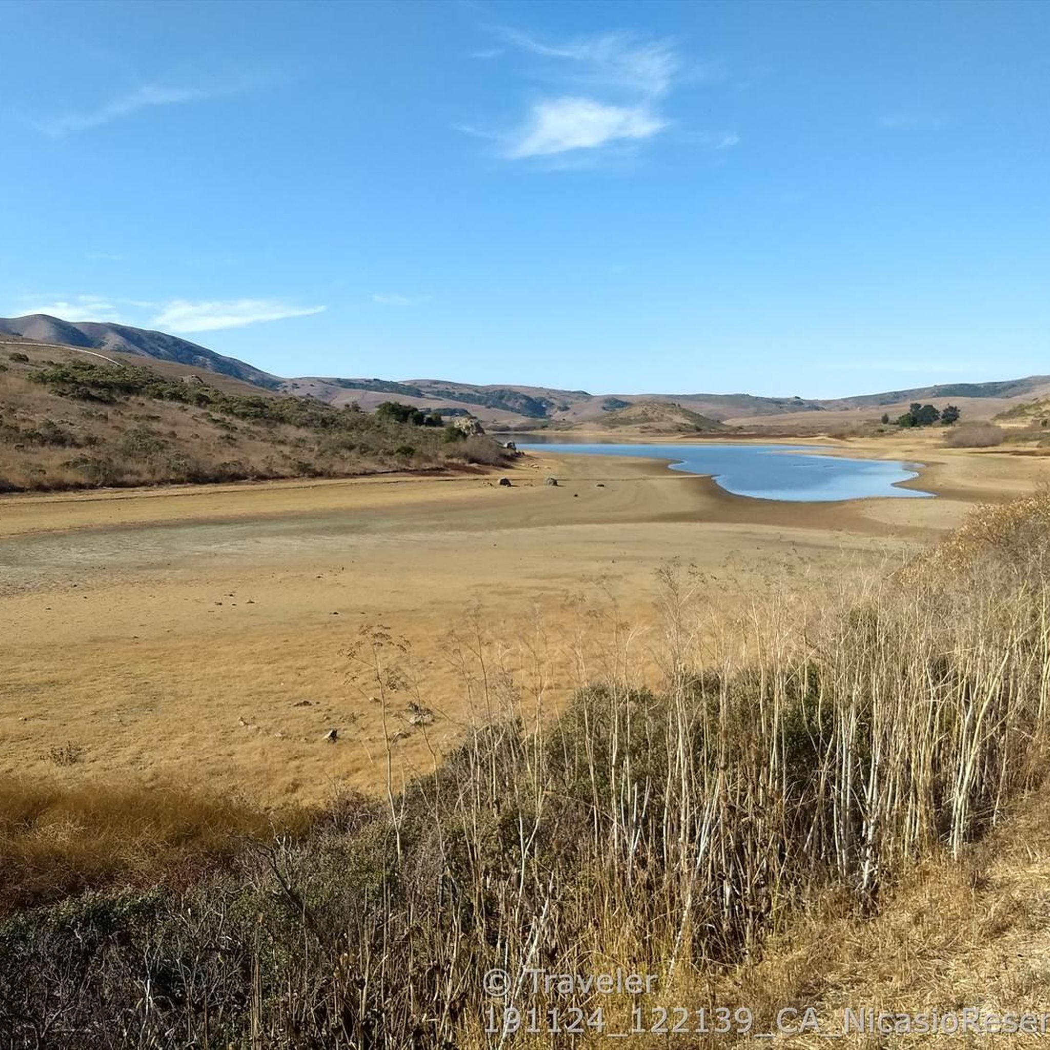
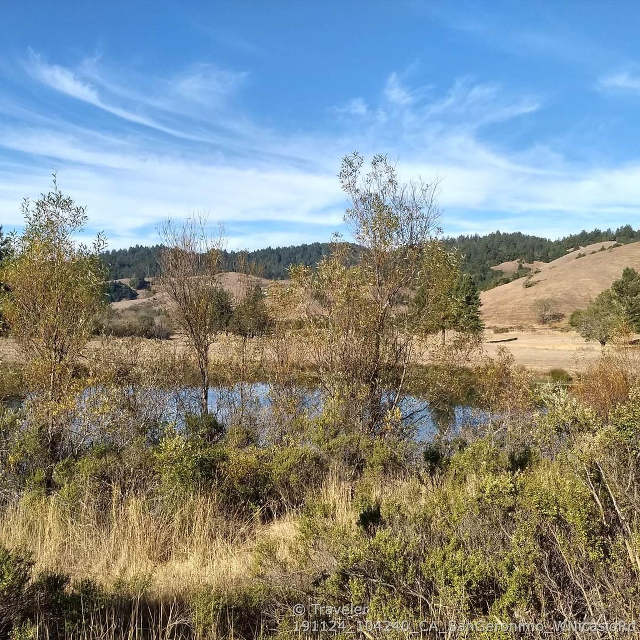
Tips from the Community


Greenpicker Trail was formerly a logging road used in the 50's and 60's. In 1962, logging was ended and in 2009 the old roads were reconstructed into this trail.
0
0
Upper Peters Dam Road is a well shaded path that partially navigates along Kent Lake shore. On the way out you can see the large dam looming overhead.
0
0

From the high ridge sweeping views open up to both sides, most still densely forested and often covered in morning mist that helps this forest survive despite the long periods without rain.
0
0

This trail, part of the Pacific Coast Bike Trail (PCB), is a fantastic, mostly paved two-lane bike route that follows Lagunitas Creek under towering redwood forests and runs parallel to Sir Francis Drake Boulevard on the other side of the valley. It continues south from the campground all the way to the southern exit of the Park.
0
0
This large group picnic area is a lovely spot under a shady grove of towering redwoods that sits along Lagunitas Creek. There is piped drinking water and restrooms nearby, and if it is not in use, it is an excellent place to stop for lunch. If you are bike touring with friends and wish to spend time here, you can reserve this spot through the Samuel Taylor State Parks' department website.
0
0

Steeped in local history involving hikers, bikers, and equestrians Bill's Trail is now open to all users. After breathing in the lush forest air you see why all three groups fought so hard to access this beautiful trail.
0
0
Frequently Asked Questions
How many running routes are available in Samuel P. Taylor State Park?
Samuel P. Taylor State Park offers nearly 30 diverse running routes. While many are challenging, there are also several moderate options for those looking for a less strenuous run.
Are there any easy or beginner-friendly jogging paths in Samuel P. Taylor State Park?
While most routes in the park are rated as difficult, there are 4 moderate running routes available. For a generally accessible and relatively flat option, consider the Cross Marin Trail, which is mostly paved and follows the historic railroad right-of-way, offering a wide and shaded path suitable for various fitness levels.
What kind of terrain can I expect on the running trails in Samuel P. Taylor State Park?
Runners in Samuel P. Taylor State Park can experience a wide variety of terrains. You'll find serene, shaded paths through majestic redwood forests and canyon groves, especially along Lagunitas Creek. The landscape also transitions to open, oak-studded grasslands and rolling hills leading up to Mount Barnabe, offering more challenging inclines and expansive views.
Are there any circular running routes in Samuel P. Taylor State Park?
Yes, Samuel P. Taylor State Park features several excellent loop routes. For a challenging experience with rewarding views, consider the Stairstep Falls & Barnabe Mountain loop, which covers 13.7 km. Another popular option is the San Geronimo Ridge and Kent Lake Loop, offering varied terrain over 17.6 km.
What are some notable landmarks or points of interest I might see while running in the park?
Along your runs, you can encounter several interesting features. The Cross Marin Trail itself is a highlight, offering interpretive panels about the park's history. You might also cross the Marie Dhority Bridge or the Cross-Marin Trail Bridge. The park's redwood groves and Lagunitas Creek are natural landmarks, and trails leading to Barnabe Peak offer expansive vistas.
What is the best time of year to go jogging in Samuel P. Taylor State Park?
The park enjoys a mild climate, making it suitable for outdoor activities year-round. Summer temperatures average in the low 80s, while winter days are typically in the high 50s. The redwood forests offer cooler, shaded paths ideal for warmer days, while the open grasslands provide more sun. Dressing in layers is always recommended due to potential fog and varied conditions.
Can I bring my dog on the running trails in Samuel P. Taylor State Park?
Samuel P. Taylor State Park has specific regulations regarding dogs. Generally, dogs are permitted on paved roads and in campgrounds, picnic areas, and on the Cross Marin Trail, provided they are on a leash no longer than six feet. However, dogs are typically not allowed on unpaved hiking trails to protect wildlife. Always check current park regulations before your visit.
Are there good viewpoints along the running routes in Samuel P. Taylor State Park?
Absolutely! The rolling hills and trails leading up to Mount Barnabe offer some of the best viewpoints. From higher elevations, you can enjoy expansive vistas of Tomales Bay, Point Reyes, Mount Tamalpais, and on clear days, even Mount Diablo. Routes like the Barnabe Mountain loop from Samuel P. Taylor State Park are known for their rewarding views.
What kind of wildlife might I see while running in the park?
Samuel P. Taylor State Park is rich in wildlife. Along Lagunitas Creek, you might spot river otters, great blue herons, and deer. The creek is also a crucial habitat for coho salmon and steelhead trout, which migrate to spawn in winter and early spring. The diverse habitats, especially along trails like Devil's Gulch, can also reveal salamanders and various bird species.
How long do running routes typically take in Samuel P. Taylor State Park?
The duration of running routes varies significantly based on distance and elevation. For example, the challenging Stairstep Falls & Barnabe Mountain loop (13.7 km) typically takes about 1 hour 40 minutes. Longer routes, such as the Stewart, Coast, and Greenpicker Loop (23.8 km), can take over 3 hours to complete.
Where can I find parking for the running trails in Samuel P. Taylor State Park?
Samuel P. Taylor State Park offers several parking areas. The main park entrance off Sir Francis Drake Boulevard provides access to parking near the visitor center and campgrounds, which are convenient starting points for many trails, including the Cross Marin Trail. Specific trailheads may also have smaller parking lots. It's advisable to arrive early, especially on weekends, as parking can fill up.
Are there any cafes or places to eat near Samuel P. Taylor State Park after a run?
While there are no cafes directly within Samuel P. Taylor State Park, the nearby towns of Lagunitas, Forest Knolls, and Point Reyes Station offer various dining options. These charming communities provide a selection of cafes, delis, and restaurants where you can refuel and relax after your run.
What do other runners enjoy most about jogging in Samuel P. Taylor State Park?
The komoot community highly values the diverse landscapes and varied challenges offered by Samuel P. Taylor State Park. Runners often praise the serene redwood forests for their shade and beauty, the expansive views from the rolling hills, and the well-maintained trail network. The opportunity to experience both tranquil creek-side paths and strenuous mountain climbs is a recurring highlight.
Most popular routes in Samuel P. Taylor State Park
Most popular attractions in Samuel P. Taylor State Park

Get inspired with the komoot mobile app


Explore more
Browse the best Running Trails & Routes in other regions.
