The best road cycling routes in Baltimore Canyon Open Space Preserve
4.5
(217)
10,184
riders
105
rides
Road cycling in Baltimore Canyon Open Space Preserve is characterized by its location in the foothills of Mount Tamalpais, featuring diverse woodlands and the winding Larkspur Creek. While the preserve itself primarily offers unpaved fire roads, adjacent areas provide paved routes for traditional road cycling. The terrain includes gentle pathways along creeks and more challenging ascents on surrounding roads. This region connects to a broader network of parklands in Marin County.
Best road cycling routes in Baltimore Canyon Open Space Preserve
- The most popular road cycling route is Corte Madera Multi-Use Path – Fairfax loop from Larkspur, an 11.4 miles (18.4 km) trail that takes 46 minutes to complete. This route offers a scenic pathway along the creek.
- Another top favourite among local road cyclists is Pantoll Road – Mount Tamalpais Summits loop from Mill Valley, a difficult 26.9 miles (43.2 km) path. This route features significant elevation gain and panoramic views.
- Local road cyclists also love the Sausalito Path – Horse Hill Bike Path loop from Corte Madera, a 14.6 miles (23.5 km) trail leading through residential areas and along local roads, often completed in about 1 hour 4 minutes.
- Road cycling in Baltimore Canyon Open Space Preserve is defined by diverse woodlands, creek-side pathways, and connections to the foothills of Mount Tamalpais. The network offers options for easy, moderate, and difficult routes, catering to different ability levels.
- The routes in Baltimore Canyon Open Space Preserve are highly rated by the komoot community with an average score of 4.6 stars from over 170 reviews. More than 9000 road cyclists have used komoot to explore Baltimore Canyon Open Space Preserve's varied terrain.
Last updated: July 10, 2026
156
riders
35.1km
02:10
940m
940m
Hard road ride. Very good fitness required. Mostly well-paved surfaces and easy to ride.
87
riders
26.2km
01:19
300m
300m
Moderate road ride. Good fitness required. Mostly well-paved surfaces and easy to ride.

Sign up for free
5.0
(2)
61
riders
23.0km
01:04
210m
220m
Easy road ride. Great for any fitness level. Mostly well-paved surfaces and easy to ride.
5.0
(1)
144
riders
66.1km
03:34
1,290m
1,290m
Hard road ride. Very good fitness required. Mostly well-paved surfaces and easy to ride.
3.3
(3)
55
riders
35.4km
01:34
300m
300m
Moderate road ride. Good fitness required. Mostly well-paved surfaces and easy to ride.
Get access to more routes and recommendations from other explorers.
Sign up for free
Already have an account?
Our route recommendations are based on thousands of hikes, rides, and runs completed by other people on komoot.
Start today with a free account
Your next adventure awaits.
Login or Signup
Popular around Baltimore Canyon Open Space Preserve
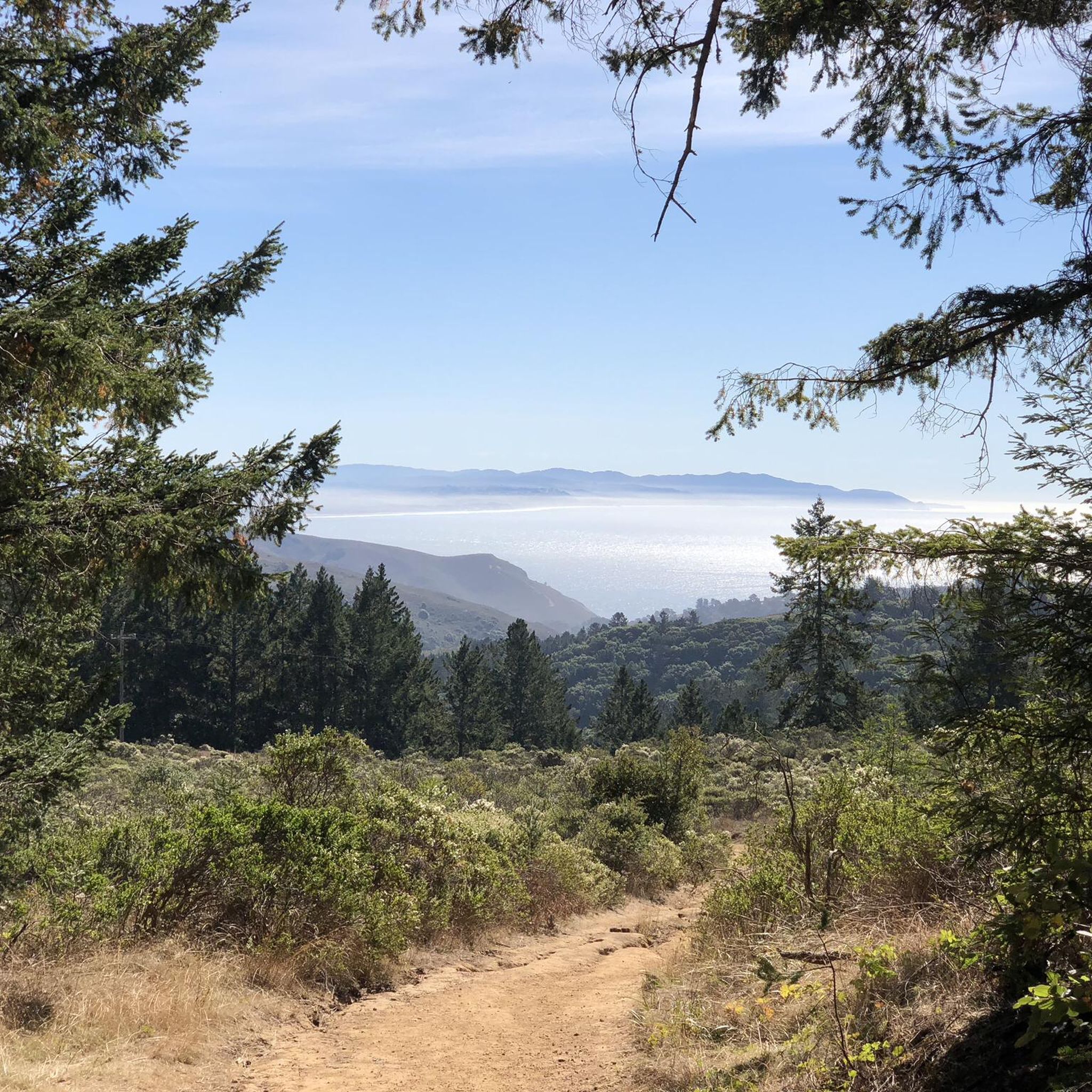
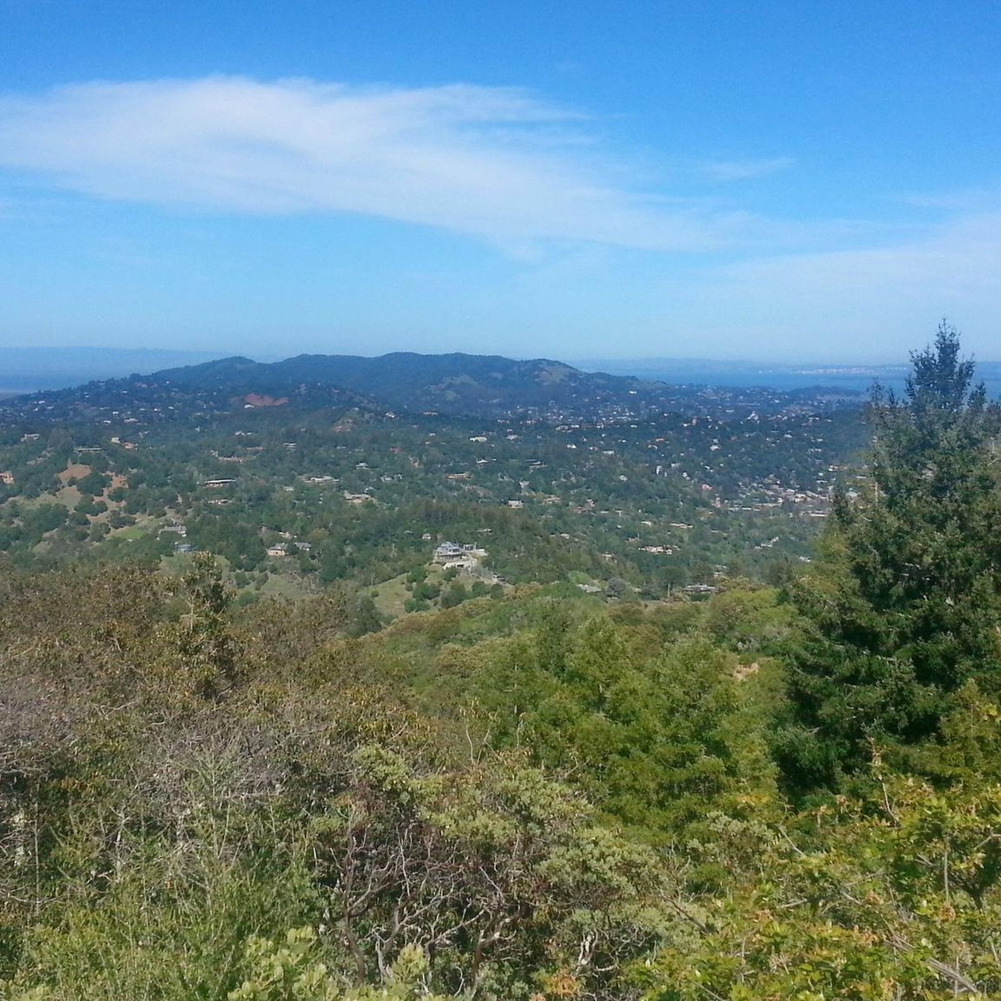
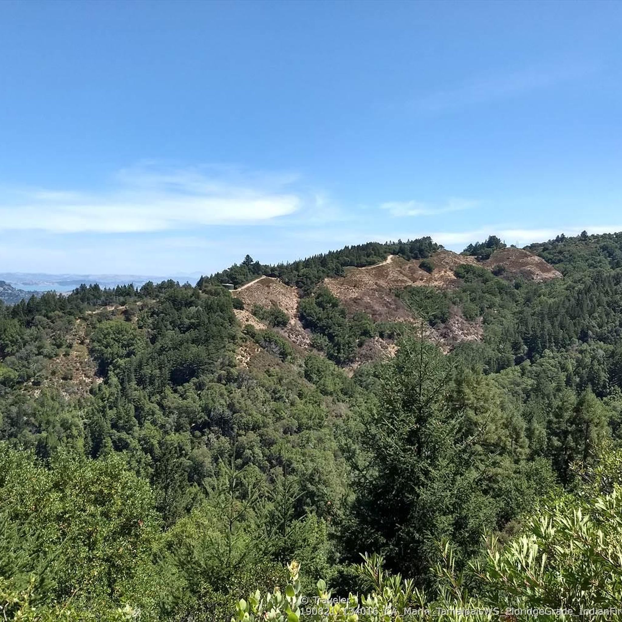
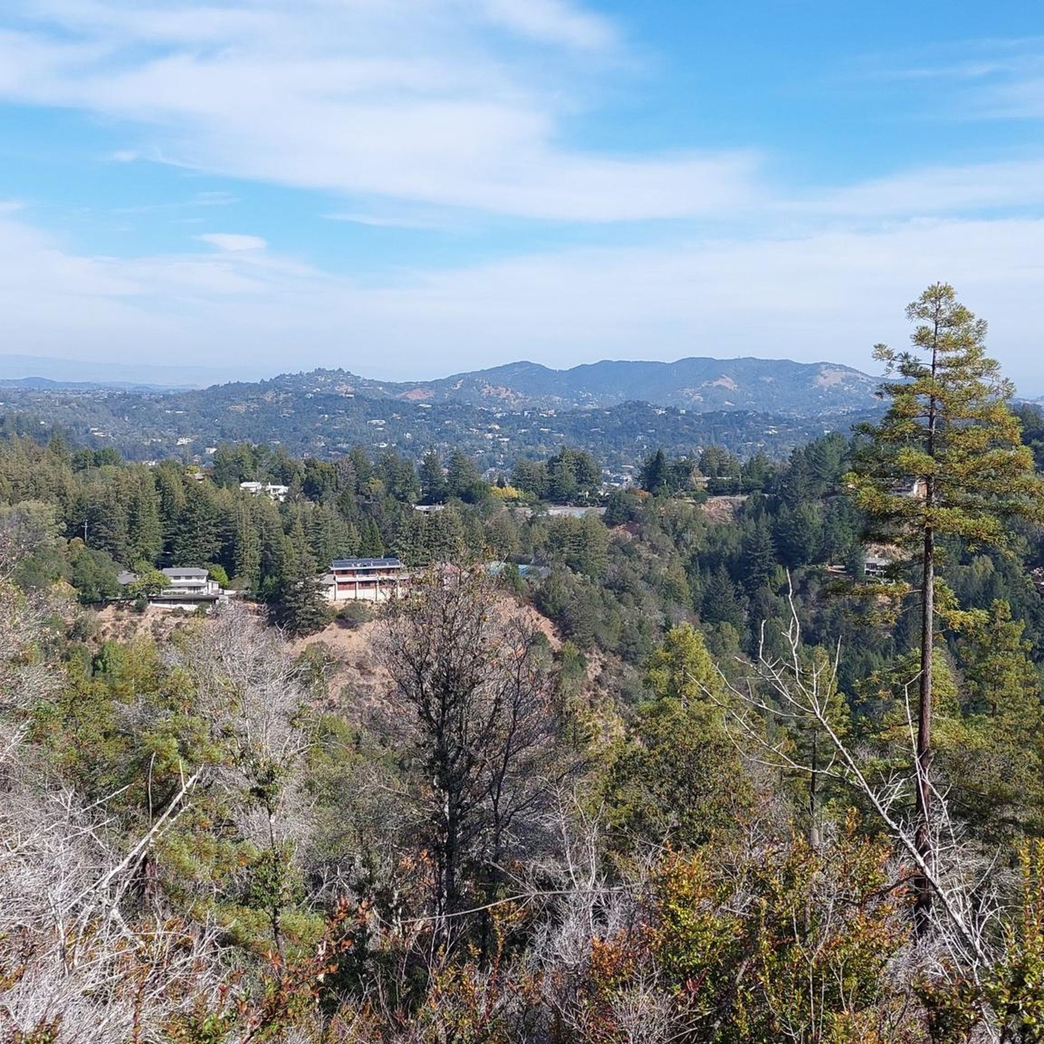
Tips from the Community

Constructed in 1917 this dam forms Alpine Lake, which sites between Kent and Bon Tempe Lakes. The road across the top of the dam make it a great place to ride on a loop around the lake.
0
0
This lake was formed by the building of Alpine Dam in 1917. It sits between Kent Lake and Bon Tempe Lake, and is popular for a variety of outdoor activities.
0
0


Set beneath the towering trees of Mount Tam, Rock Springs is the perfect jumping-off point for scenic hikes and quiet picnics—where trails, wildlife, and wide-open views begin.
0
0
Perched high on Mount Tam, the stone-built Mountain Theater offers sweeping views and timeless performances—where nature and art come together in one of California’s most breathtaking open-air stages.
0
0

The Sausalito Bike Path runs through Mill Valley. It's a paved route with great views of the wetlands on the old Northwest-Pacific rail line, which operated from 1884 until its closure in 1971. The path ends near Mike’s Bikes in Marin City, where riders can continue along the busy Bridgeway into Sausalito or take quieter marina backroads.
2
0

The Pantoll Campground is a First-come/first-serve site in Mt. Tamalpais State Park. Each site has a barbeque grill, a fire ring, and a picnic table. You need to pay for the site at the Ranger Station as you enter the park.
1
0

This overlook designed by Mr. Bowers is one of many highway improvements that are the result of his leadership, innovation and lifelong dedication to attractive highway design, landscaping, erosion control and roadside improvements. The view of the Golden Gate Bridge from here is simply magnificent.
3
0
Frequently Asked Questions
Is Baltimore Canyon Open Space Preserve suitable for traditional road cycling?
Baltimore Canyon Open Space Preserve itself is primarily characterized by unpaved fire roads, which are better suited for mountain or gravel biking. Traditional road cycling on paved surfaces is best enjoyed on adjacent routes and roads outside the immediate preserve boundaries, which connect to a broader network of parklands in Marin County.
What kind of terrain can I expect for road cycling in and around Baltimore Canyon Open Space Preserve?
The terrain for road cycling in the broader area includes a mix of gentle pathways along creeks and more challenging ascents on surrounding roads. While the preserve's internal paths are mostly unpaved, nearby routes offer varied experiences, from flat, scenic loops to routes with significant elevation changes in the foothills of Mount Tamalpais.
What are the difficulty levels of road cycling routes near Baltimore Canyon Open Space Preserve?
The routes in the vicinity offer a range of difficulty levels. Out of over 100 available routes, approximately 36 are considered easy, 45 are moderate, and 26 are difficult. This variety caters to different ability levels, from casual rides to more strenuous climbs.
Are there any natural features or landmarks to see while road cycling near Baltimore Canyon Open Space Preserve?
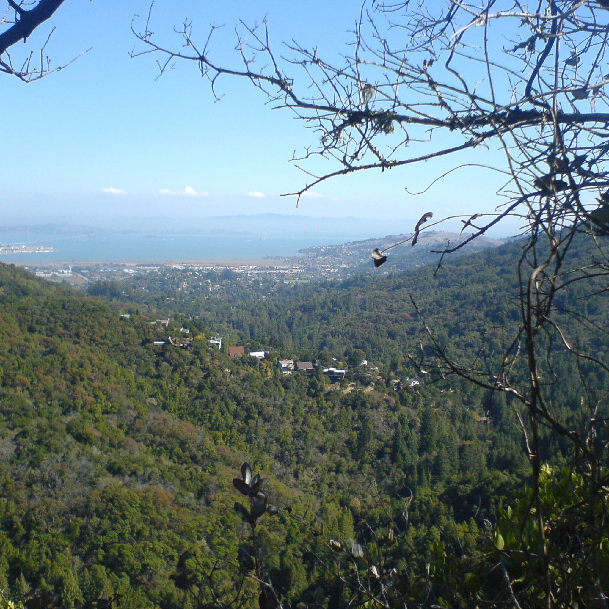
Yes, the region offers beautiful natural features. While road cycling, you can experience diverse woodlands with towering redwoods, Douglas firs, and madrones. Larkspur Creek winds through the area, and from elevated fire roads like the Hoo-Koo-E-Koo Fire Road Trail, you can enjoy scenic vistas of the San Francisco Bay and the Marin peninsula. Although Dawn Falls is a significant attraction, it's typically accessed via hiking trails within the preserve.
Are there family-friendly road cycling options near Baltimore Canyon Open Space Preserve?
Yes, there are several family-friendly road cycling options. Routes like the Ross Post Office – San Anselmo City Hall 🏫 loop from Larkspur offer shorter distances and gentler terrain, suitable for families. Many easy routes follow pathways along creeks, providing a pleasant and safe environment for cyclists of all ages.
What do other road cyclists enjoy the most about road cycling in this area?
The area is highly rated by the komoot community, with an average score of 4.6 stars from over 140 reviews. Cyclists often praise the diverse woodlands, the refreshing shade provided by the trees, and the scenic creek-side pathways. The connection to the broader network of parklands and the variety of routes for different skill levels are also frequently highlighted.
Are there any circular road cycling routes available?
Yes, many of the road cycling routes in the area are designed as loops. For example, the Mission Pass Path – Lincoln Hill Pathway loop from Ross is an easy 13.8-mile circular route that takes you through varied terrain and residential areas. Another option is the Camino Alto Road – Sausalito Path loop from Corte Madera.
Where can I park when road cycling near Baltimore Canyon Open Space Preserve?
Parking can be limited, especially on weekends, near the trailheads and access points to the preserve. It's advisable to plan ahead and look for designated parking areas in nearby towns like Larkspur, Ross, or San Anselmo, which often serve as starting points for the paved road cycling routes.
What is the best time of year to road cycle in the Baltimore Canyon area?
The area offers a pleasant outdoor experience across all seasons. Summer provides refreshing shade from the diverse woodlands, while winter through early spring brings vibrant green landscapes and the possibility of seeing Dawn Falls at its fullest. Autumn displays picturesque fall foliage. However, during the rainy season, some unpaved sections might be muddy, so paved routes are preferable.
Are there any long-distance or challenging road cycling routes in the vicinity?
For those seeking a more challenging ride, the area offers routes like the Alpine Lake – Alpine Dam loop from Mill Valley. This difficult route spans over 42 miles (69 km) and features significant elevation gain, making it suitable for experienced road cyclists looking for a strenuous workout and stunning scenery.
Can I access viewpoints of the San Francisco Bay while road cycling?
While the immediate Baltimore Canyon Open Space Preserve is heavily wooded, some higher elevation fire roads that connect to the broader network, such as the Hoo-Koo-E-Koo Fire Road Trail, offer scenic vistas including views of the San Francisco Bay and the Marin peninsula. These are typically unpaved and better suited for gravel or mountain bikes, but paved roads in the surrounding hills can also provide elevated views.
Are there any cafes or places to eat near the road cycling routes?
Yes, the towns surrounding Baltimore Canyon Open Space Preserve, such as Larkspur, Ross, San Anselmo, and Corte Madera, offer various cafes, restaurants, and pubs where you can refuel before or after your ride. These towns are often starting or ending points for many of the paved road cycling routes.
Most popular routes in Baltimore Canyon Open Space Preserve
Most popular attractions in Baltimore Canyon Open Space Preserve

Get inspired with the komoot mobile app


Explore more
Browse the best Road cycling routes in other regions.
