The best gravel rides in Baltimore Canyon Open Space Preserve
4.6
(25)
641
riders
48
rides
If you have ever tried to plan gravel biking in Baltimore Canyon Open Space Preserve, you know how overwhelming the options can be. With so many trails winding through this beautiful area, it is tough to tell which routes are genuinely worth your time and effort. We get it, and we are here to help.
Our komoot community has mapped, ridden, and reviewed countless routes here, so we have done the legwork for you. This guide is a curated shortlist…
Last updated: June 4, 2026
7
riders
27.1km
01:59
580m
580m
The Camino Alto Road – Pickleweed Inlet crossing loop from Larkspur is a challenging gravel biking route that stitches together the best of Marin County's varied terrain. You'll navigate the…
5.0
(3)
76
riders
35.0km
03:01
930m
930m
Hard gravel ride. Very good fitness required. Mostly paved surfaces. Suitable for all skill levels.

Sign up for free
4.8
(6)
73
riders
47.4km
04:21
1,270m
1,270m
Hard gravel ride. Very good fitness required. Mostly paved surfaces. Suitable for all skill levels.
5.0
(2)
28
riders
45.1km
03:18
770m
770m
Hard gravel ride. Very good fitness required. Mostly paved surfaces. Suitable for all skill levels.
21
riders
45.6km
03:05
760m
760m
Hard gravel ride. Very good fitness required. Mostly paved surfaces. Suitable for all skill levels.
Get access to more routes and recommendations from other explorers.
Sign up for free
Already have an account?
Our route recommendations are based on thousands of hikes, rides, and runs completed by other people on komoot.
Start today with a free account
Your next adventure awaits.
Login or Signup
Popular around Baltimore Canyon Open Space Preserve
Tips from the Community

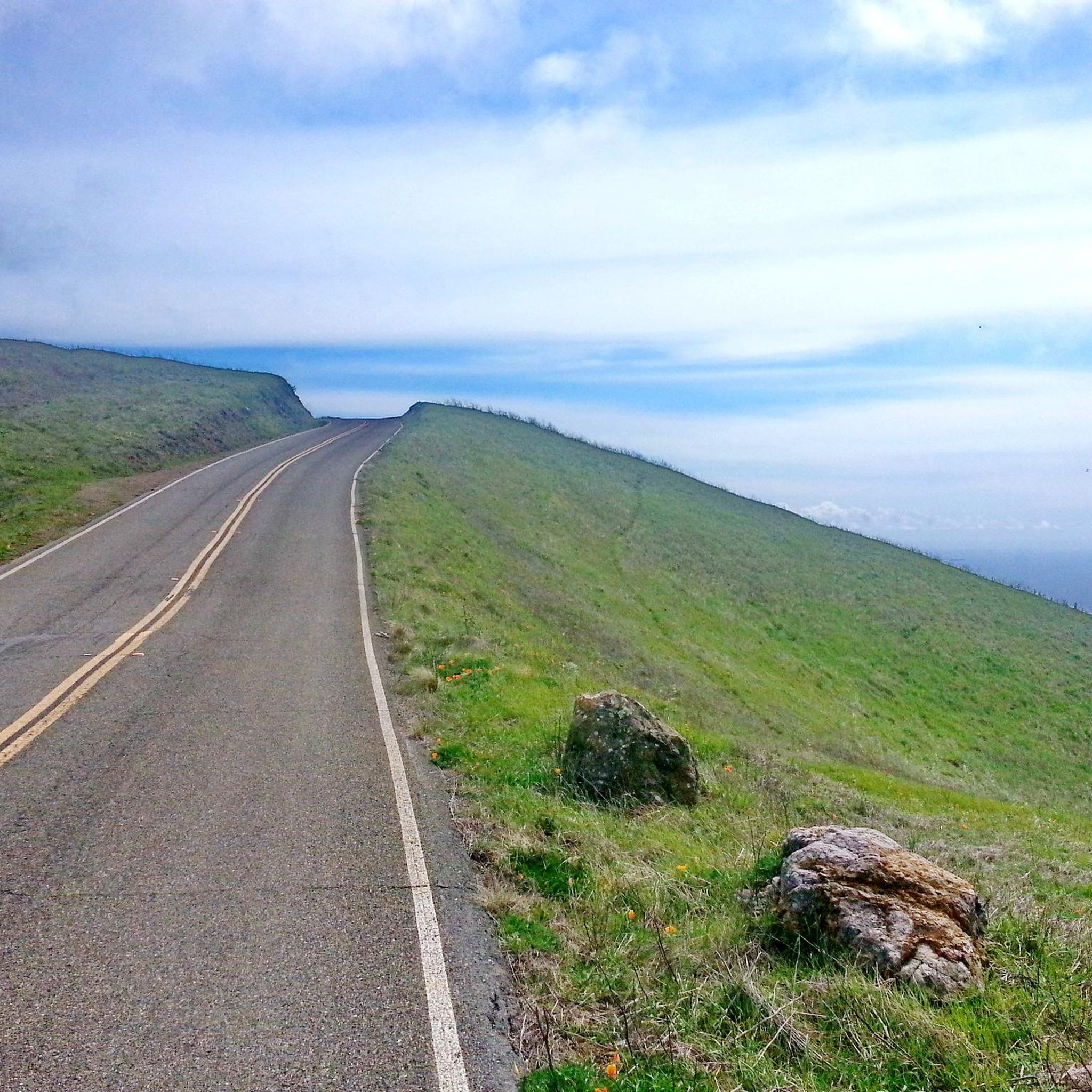
Batterij Townsley is a place where nature and history meet. As you climb along the rugged cliffs of the Marin Headlands, the old coastal defense slowly emerges from the landscape. Once at the top, a panorama opens up that will leave you speechless: the Pacific Ocean, the Golden Gate Bridge, and the endless horizon. The abandoned bunkers and tunnels give the place a mysterious atmosphere, as if time has stood still here. A perfect stop to enjoy, wander, and completely immerse yourself in the view.
1
0


Part of the coastal defenses along Coastal Trail, latest remnants here date from the WW II and early cold war era.
0
0

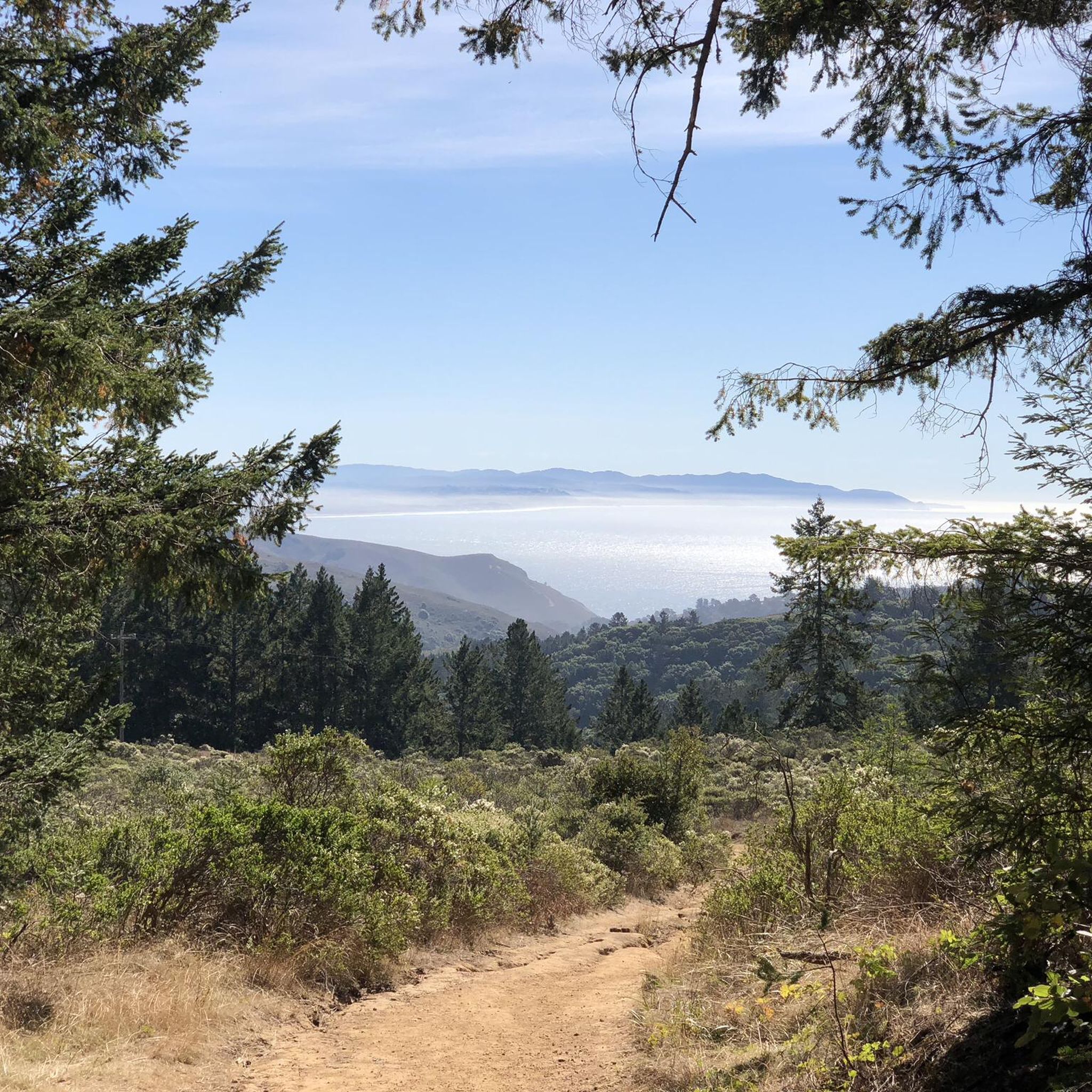
At this point on Sky Oaks Road, there is a junction with Shaver Grade Road, which connects with a dense network of trails and dirt roads near Bald Hill in the Mount Tamalpais State Park. From here, you can continue on the paved Sky Oaks Road or go arond the gate on to the gravel Shaver Grade Road.
0
0
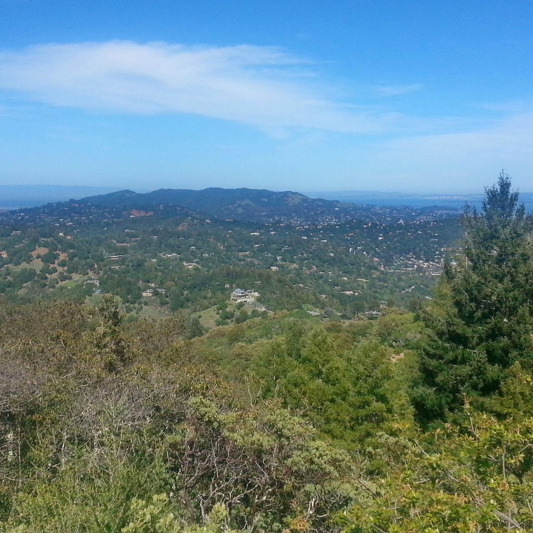
Quieter albeit slightly higher and steeper climb out of Mill Valley to Panoramic Highway instead of climbing on Hwy 1, meandering along lesser traffic neighborhood streets with more shade and awesome bay views.
0
0

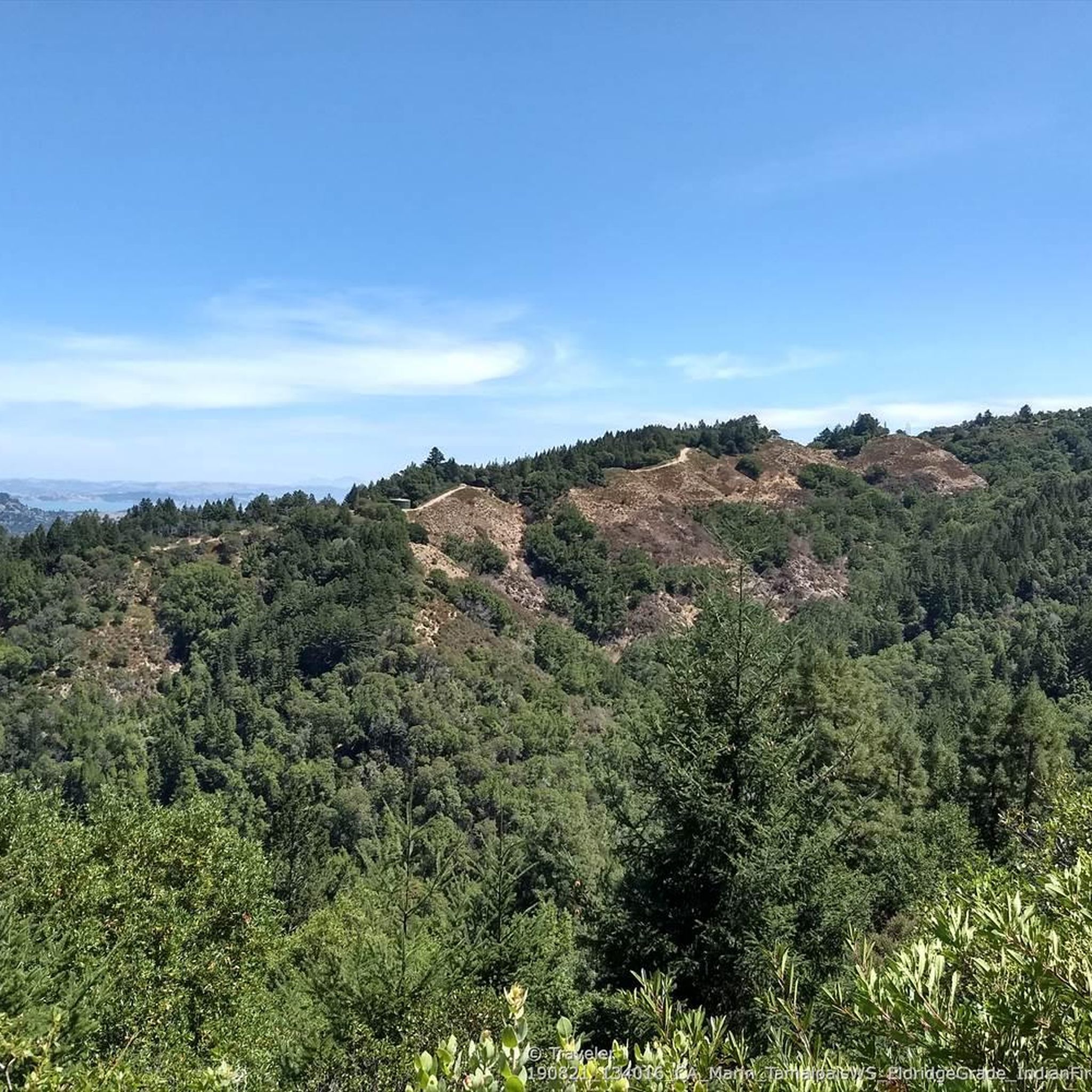
This bikeway offers a better alternative to the much busier Center Boulevard, which does not have a shoulder and an even better route than the Sir Francis Drake Blvd highway. Lansdale and San Anselmo Avenues are quiet residential streets that run parallel and provide a pleasant passage through town away from busy traffic.
1
0
This tidal sanctuary runs along the Mill Valley-Sausalito Pathway and the Charles F. McGlashan Pathway. More than 400 species of migratory birds rest here after their long flights, and if you pass through in the early morning or late evening, the sunrises and sunsets reflect beautifully on the surface of this 106-acre marsh.
0
0
Frequently Asked Questions
What kind of terrain can I expect on gravel bike trails in Baltimore Canyon Open Space Preserve?
You'll find a diverse mix of terrain, primarily shaded forest trails winding through towering redwood and Douglas firs. Many routes follow the picturesque Larkspur Creek. The preserve also features varied woodlands, chaparral, and fire roads suitable for biking. Expect a mix of mostly paved surfaces with gravel sections.
Are there any waterfalls or scenic viewpoints along the gravel routes?
Yes, a notable attraction is Dawn Falls, a 30-foot cascading waterfall that is particularly impressive after heavy winter rains. While not directly on every gravel route, it's a popular scenic turnaround point. For panoramic views, side trips like the King Mountain Loop can offer vistas of the Bay Area, including the Richmond San-Rafael Bridge and even San Francisco on clear days.
What is the difficulty level of gravel biking in Baltimore Canyon Open Space Preserve?
The preserve offers a range of routes from moderate to difficult. While there is 1 easy route, you'll find 18 moderate and 38 difficult routes. Many routes involve significant elevation gains, from 1,000 feet up to over 3,000 feet, requiring varying levels of fitness. Some of the more strenuous options may even necessitate pushing your bike on certain sections.
What do other gravel bikers enjoy most about the trails here?
The komoot community highly rates the routes in Baltimore Canyon Open Space Preserve, with an average score of 4.6 stars from over 10 reviews. Nearly 600 gravel bikers have used komoot to explore the varied terrain, often praising the shaded redwood forests, the scenic Larkspur Creek, and the challenging yet rewarding climbs.
Are there any good loop trails for gravel biking?
Yes, there are several excellent loop options. A popular moderate choice is the Phoenix Lake – Fish Gulch trail junction loop from Larkspur, which is about 20.4 km long. For a more challenging ride, consider the Camino Alto summit viewpoint – Camino Alto Road loop from Larkspur, covering 26.9 km with significant elevation.
When is the best time of year to go gravel biking in Baltimore Canyon Open Space Preserve?
Spring brings an array of wildflowers, particularly near the Hoo-Koo E-Koo Fire Road Trail, making it a beautiful time to visit. Autumn offers vibrant colors from the big-leaf maples. Winter rains can make Dawn Falls particularly impressive, but be aware that some sections can be muddy during the rainy season. The shaded forest trails are especially pleasant during warmer months.
Are there any interesting landmarks or points of interest along the trails?
Beyond the natural beauty, the preserve holds historical interest with remnants of an old quarry. You can also explore various trails like the Indian Fire Road trail or the Blithedale Ridge Fire Rd, which offer unique perspectives of the area. The Ladybug Trail - Dawn Falls Trail junction is another notable spot.
Are there any longer, more challenging gravel routes available?
Absolutely. For experienced riders seeking a significant challenge, the Lagunitas Trail loop from Corte Madera is a demanding option, stretching 38 km with nearly 1200 meters of elevation gain. Another difficult route is the Railroad Grade Fire Road loop from Mill Valley, which covers 24.5 km with over 600 meters of climbing.
What kind of wildlife might I encounter while gravel biking?
The diverse woodlands and chaparral of Baltimore Canyon Open Space Preserve support various wildlife. While specific sightings can vary, you might encounter deer, various bird species, and smaller mammals. Riders are encouraged to be observant and respectful of the natural habitat.
Is there public transport access to Baltimore Canyon Open Space Preserve?
While direct public transport to trailheads within the preserve might be limited, the preserve is accessible from nearby towns like Larkspur and San Anselmo, which may have public transport connections. It's advisable to check local bus routes or ride-sharing options to reach the general vicinity, then cycle to your chosen trailhead.
Are there cafes or places to eat near the preserve after a ride?
Yes, the nearby towns of Larkspur and San Anselmo offer various cafes, restaurants, and pubs where you can refuel after your ride. These towns are just a short distance from the preserve's access points and provide a good selection of dining options.
What are the typical elevation gains on gravel bike trails in this area?
Gravel biking in Baltimore Canyon Open Space Preserve often involves significant elevation changes. Routes can feature elevation gains ranging from approximately 300 meters (like the Phoenix Lake – Fish Gulch trail junction loop from San Anselmo) up to over 1100 meters for the most challenging routes, such as the Lagunitas Trail loop from Corte Madera.
Most popular routes in Baltimore Canyon Open Space Preserve
Most popular attractions in Baltimore Canyon Open Space Preserve

Get inspired with the komoot mobile app


Explore more
Browse the best Gravel rides in other regions.
