The best running trails in Stanley Park National Historic Site
4.6
(165)
15,867
runners
387
runs
Jogging in Stanley Park National Historic Site offers a diverse landscape for runners, characterized by its unique position surrounded by the waters of Vancouver Harbour and English Bay. The park features the renowned Seawall, one of the longest uninterrupted waterfront paths, providing flat, paved surfaces with views of the ocean and city skyline. Beyond the coastline, over 27 km of forest trails wind through towering red cedar, hemlock, and Douglas fir trees, offering a natural woodland experience. The area also includes tranquil lakes and beaches, adding to the variety of running environments.
Best jogging routes in Stanley Park National Historic Site
- The most popular jogging route is Third Beach – Lions Gate Bridge loop from Stanley Park, a 7.7 miles (12.4 km) trail that takes about 1 hour 19 minutes to complete, offering extensive views along the Seawall.
- Another top favourite among local runners is Coal Harbour Seawall – Nine O'Clock Gun loop from Burrard, a moderate 5.9 miles (9.4 km) path. This route provides a scenic waterfront experience with views of the city and harbour.
- Local runners also love the Vancouver Seawall – Brockton Point Lighthouse loop from Coal Harbour, a 4.0 miles (6.4 km) trail leading through the iconic Seawall and past Brockton Point Lighthouse, often completed in about 40 minutes.
- Jogging in Stanley Park National Historic Site is defined by coastal paths, dense woodlands, and tranquil lakes. The network offers options for easy, moderate, and more challenging running experiences.
- The routes in Stanley Park National Historic Site are highly rated by the komoot community with an average score of 4.6 stars from over 150 reviews. More than 17,000 runners have used komoot to explore Stanley Park National Historic Site's varied terrain.
Last updated: July 13, 2026
5.0
(6)
450
runners
9.53km
01:01
60m
50m
Moderate run. Good fitness required. Mostly paved surfaces. Suitable for all skill levels.
5.0
(3)
345
runners
11.6km
01:13
130m
130m
Moderate run. Good fitness required. Mostly paved surfaces. Suitable for all skill levels.

Sign up for free
28
runners
5.72km
00:37
40m
40m
Moderate run. Good fitness required. Mostly paved surfaces. Suitable for all skill levels.
4.8
(20)
1,042
runners
8.76km
00:55
50m
50m
Moderate run. Good fitness required. Mostly paved surfaces. Suitable for all skill levels.
4.9
(7)
471
runners
Moderate run. Good fitness required. Mostly paved surfaces. Suitable for all skill levels.
Get access to more routes and recommendations from other explorers.
Sign up for free
Already have an account?
Our route recommendations are based on thousands of hikes, rides, and runs completed by other people on komoot.
Start today with a free account
Your next adventure awaits.
Login or Signup
Popular around Stanley Park National Historic Site

Vancouver roundtrip — Bikepacking British Columbia
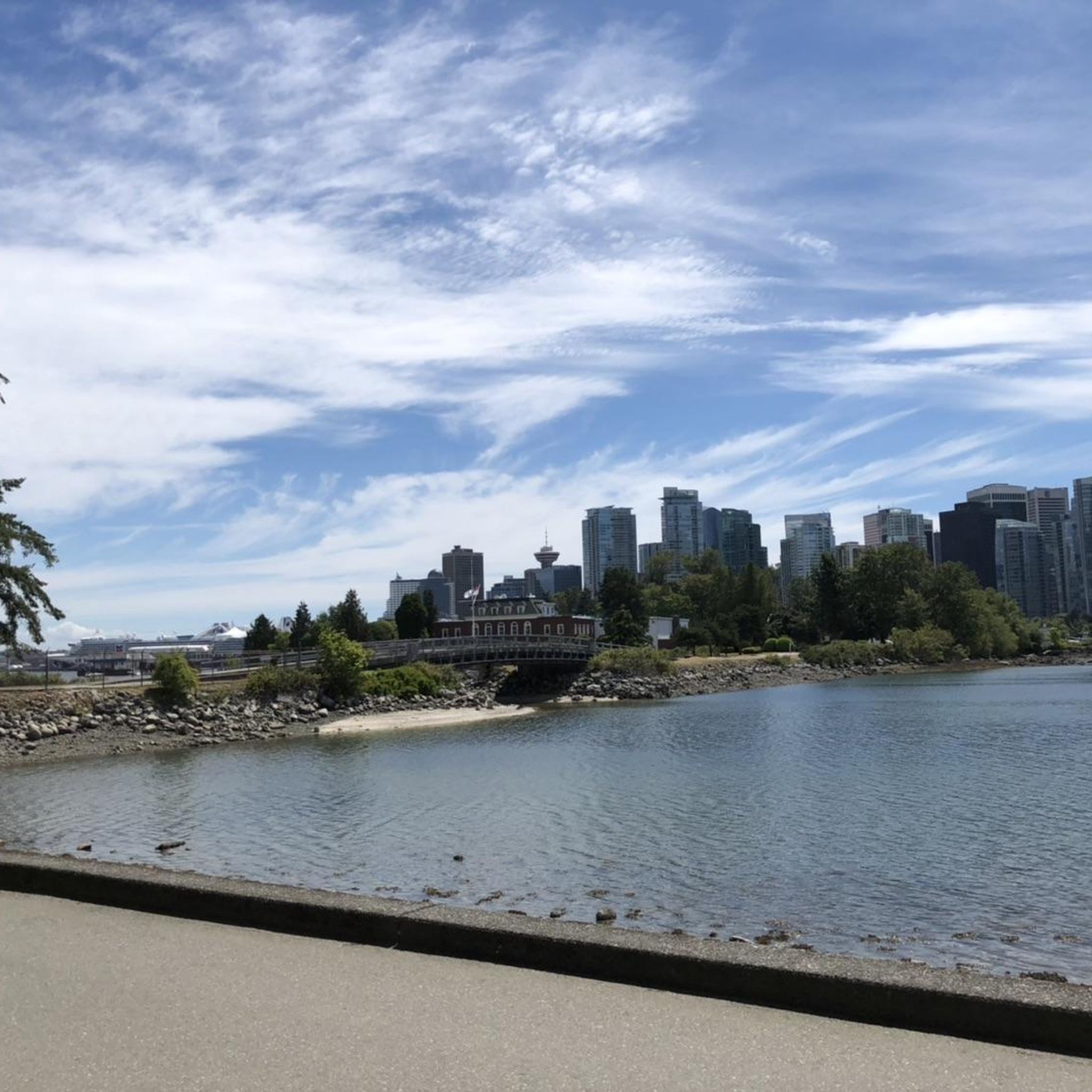
Hiking in Stanley Park National Historic Site
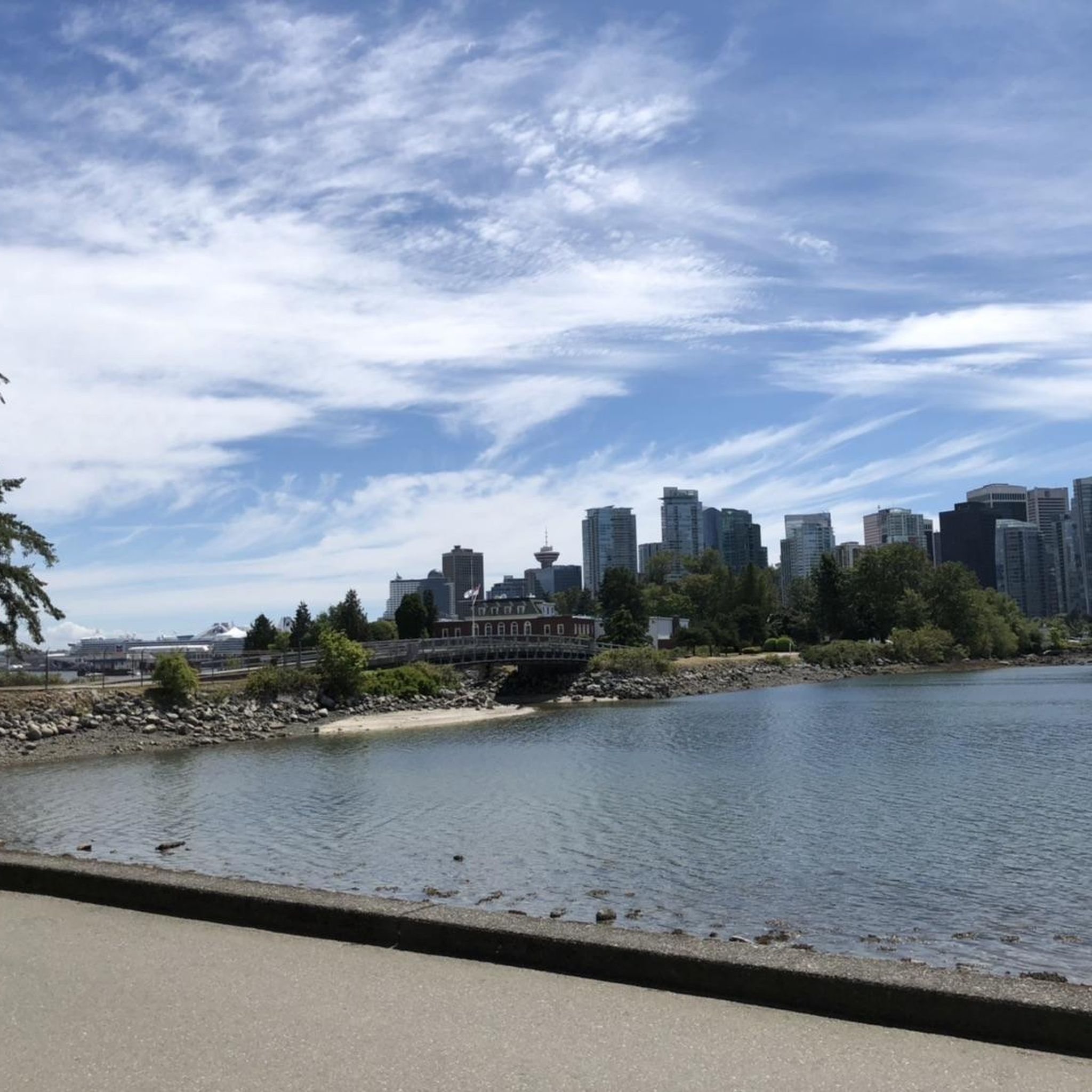
Cycling in Stanley Park National Historic Site
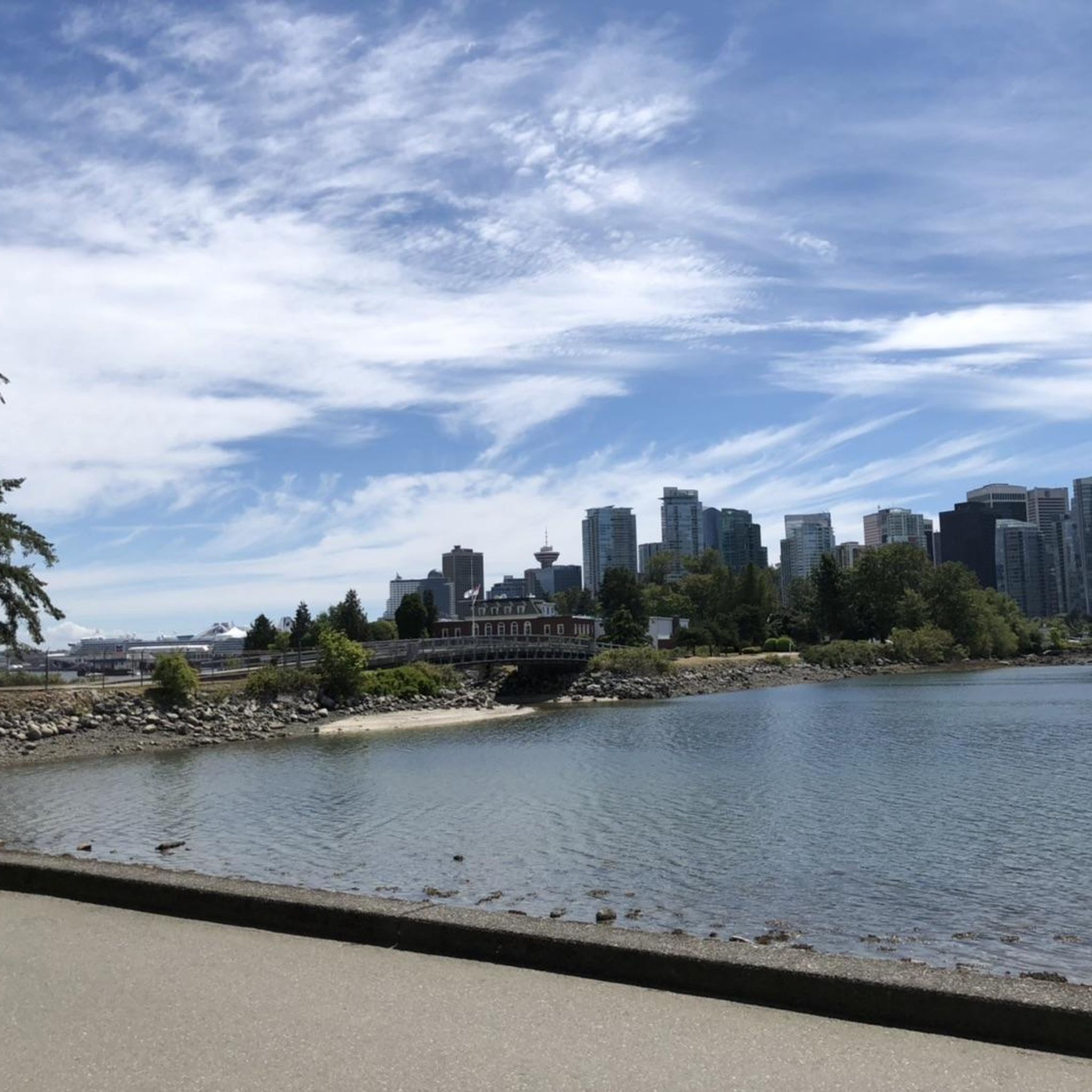
Road Cycling Routes in Stanley Park National Historic Site
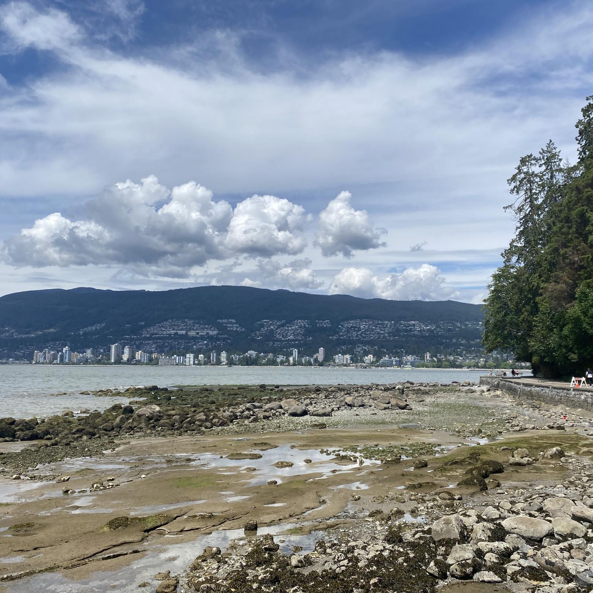
MTB Trails in Stanley Park National Historic Site
Gravel biking in Stanley Park National Historic Site
Other adventures in Stanley Park National Historic Site

Tips from the Community

Siwash Rock is a dramatic sea stack rising just offshore beneath the park’s rugged sandstone cliffs, and is one of Vancouver’s most recognizable natural landmarks. Formed millions of years ago by a volcanic intrusion, it resisted erosion better than the surrounding rock, standing about 15–18 metres tall and is the only sea stack of its kind in the Vancouver area. The coastal forest backdrop, open water, and views across English Bay make it one of the most photographed spots along Stanley Park’s waterfront.
0
0

Lost Lagoon is a freshwater lake at the entrance to Stanley Park. Before the Stanley Park Causeway was built, this area was a tidal mudflat connected to Coal Harbour and would disappear at low tide, inspiring the name given by poet E. Pauline Johnson. Today, the lagoon is one of Vancouver's best places for urban wildlife watching, with ducks, great blue herons, turtles, and other water birds regularly seen along its shores. The flat path around the water also offers beautiful reflections of the downtown skyline and surrounding trees.
0
0
The Stanley Park Seawall is a paved waterfront path that circles the edge of Stanley Park, offering continuous views of the ocean, mountains, and city skyline. This iconic section of the Vancouver Seawall follows the shoreline of English Bay and is popular with both walkers and cyclists. Gentle grades, wide paths, and frequent viewpoints make it one of the most scenic and accessible urban waterfront routes in Canada.
0
0
Stanley Park is a 405-hectare urban park on the peninsula at the edge of downtown Vancouver, bordered by Burrard Inlet and English Bay. It is surrounded by old-growth forest, with beaches, cultural landmarks and the popular Seawall path that circles the shoreline. The park is one of Canada’s most visited attractions and a defining natural backdrop to the city.
0
0


Really super nice sculptures
3
0

On a clear day, enjoy a magnificent view of Vancouver's skyline from Stanley Park. Skyscrapers and nature are close together here.
1
0
In Vancouver's beautiful Stanley Park, you can admire several totem poles for free. Each one has an explanation, and the path to the pole is signposted.
1
0
Frequently Asked Questions
How many running routes are available in Stanley Park National Historic Site?
Stanley Park National Historic Site offers a wide variety of running experiences, with over 400 routes available on komoot. These range from easy strolls to more challenging runs, ensuring options for every fitness level.
What kind of terrain can I expect on the running trails in Stanley Park?
You'll find diverse terrain for running in Stanley Park. The famous Seawall provides a flat, paved surface with stunning ocean and city views. Inland, over 27 km of forest trails wind through towering trees, offering a natural woodland experience. The park also features tranquil lakes and beaches, adding to the variety of running environments.
Are there running routes suitable for beginners or those looking for an easy jog?
Yes, Stanley Park National Historic Site has 31 easy running routes, perfect for beginners or those seeking a relaxed jog. These trails typically have minimal elevation gain and are well-maintained, allowing for an enjoyable experience.
What do other runners enjoy most about jogging in Stanley Park National Historic Site?
The running routes in Stanley Park National Historic Site are highly rated by the komoot community, with an average score of 4.6 stars from over 150 reviews. Runners often praise the stunning coastal views, the peaceful forest trails, and the accessibility of the park. Over 17,000 runners have used komoot to explore the varied terrain here.
Can I find circular running routes in Stanley Park?
Absolutely. Many of the most popular running routes in Stanley Park are circular, allowing you to start and finish at the same point. For example, the Third Beach – Lions Gate Bridge loop from Stanley Park is a popular 12.4 km circular route offering extensive views along the Seawall.
Are there any running routes that pass by significant landmarks or attractions?
Yes, several running routes in Stanley Park National Historic Site offer opportunities to see iconic landmarks. The Vancouver Seawall – Brockton Point Lighthouse loop from Coal Harbour takes you past the historic Brockton Point Lighthouse. You can also find routes that pass by the impressive Totem Poles in Stanley Park and the unique Siwash Rock (Slhx̱í7lsh).
What are some good running routes for experiencing the Seawall?
The Seawall is a highlight for many runners. The Coal Harbour Seawall – Nine O'Clock Gun loop from Burrard is a fantastic 9.4 km option that provides a scenic waterfront experience with views of the city and harbour. Another great choice is the Vancouver Seawall – Coal Harbour Seawall loop from Burrard, covering 7.9 km.
Are there any family-friendly running trails in Stanley Park?
Stanley Park offers many paths suitable for families. The flat, paved sections of the Seawall are generally easy for all ages. For a shorter, picturesque option, consider routes around Lost Lagoon, which provide a tranquil setting away from the busiest areas.
Can I bring my dog on the running trails in Stanley Park?
Stanley Park is generally dog-friendly, but specific rules apply. Dogs must be kept on a leash in most areas, including the Seawall and main trails. There are designated off-leash areas within the park where dogs can run freely. Always check local signage for the most current regulations regarding pets.
How long is the Stanley Park Seawall for running?
The Stanley Park Seawall forms a 10.2 km (approximately 6.3 miles) loop around the park. It's one of the longest uninterrupted waterfront paths in the world, offering a scenic and relaxing run with breathtaking views.
Are there any less crowded running routes if I prefer a quieter experience?
While the Seawall can be popular, the park's extensive network of inland forest trails offers a quieter refuge. With over 27 km of trails winding through towering trees, you can often find more secluded paths for a peaceful run away from the main crowds. These trails provide a different experience, immersing you in a natural woodland environment.
What are the options for parking when visiting Stanley Park for a run?
Stanley Park has several paid parking lots located throughout the park, including near popular access points like the Seawall. Parking rates and availability can vary, especially during peak seasons. It's advisable to check the park's official website for current parking information before your visit.
Is public transport available to access the running trails in Stanley Park?
Yes, Stanley Park is easily accessible by public transport from downtown Vancouver. Numerous bus routes serve the perimeter of the park, with stops conveniently located near various entrances and trailheads, making it simple to reach your desired starting point for a run.
Most popular routes in Stanley Park National Historic Site
Most popular attractions in Stanley Park National Historic Site

Get inspired with the komoot mobile app


Explore more
Browse the best Running Trails & Routes in other regions.
