The best cycling routes in Stanley Park National Historic Site
4.6
(1136)
18,526
riders
229
rides
Touring cycling in Stanley Park National Historic Site features a diverse landscape, encompassing a vast urban oasis with waterfronts, lush forests, and panoramic city views. The park offers a network of paved paths, including the iconic Seawall, alongside less crowded interior forest trails. These routes provide varied terrain for cyclists, from flat coastal rides to paths winding through ancient trees.
Best touring cycling routes in Stanley Park National Historic Site
- The most popular touring cycling route is English Bay Beach – Burrard Street Bridge loop from Stanley Park, a 9.2 miles (14.9 km) trail that takes 1 hour to complete. This easy route offers continuous views of the coastline and urban skyline.
- Another top favourite among local touring cyclists is Halfway Hairpin – Seymour Trailway loop from North Vancouver, a difficult 32.3 miles (52.0 km) path. This longer route provides a more challenging experience with significant elevation gain, connecting to trails beyond the park's immediate vicinity.
- Local touring cyclists also love the Beaver Lake – English Bay Beach loop from Burrard, a 11.9 miles (19.1 km) trail leading through interior park features like Beaver Lake and along the English Bay coastline, often completed in about 1 hour 15 minutes.
- Touring cycling in Stanley Park National Historic Site is defined by waterfront paths, lush forests, and urban views. The network offers options for different ability levels, from easy coastal rides to more challenging interior trails.
- The routes in Stanley Park National Historic Site are highly rated by the komoot community with an average score of 4.6 stars from over 1,100 reviews. More than 19,000 touring cyclists have used komoot to explore Stanley Park National Historic Site's varied terrain.
Last updated: July 6, 2026
4.5
(6)
236
riders
11.5km
00:44
60m
60m
Easy bike ride. Great for any fitness level. Mostly paved surfaces. Suitable for all skill levels.
5.0
(1)
20
riders
25.7km
01:35
170m
170m
Moderate bike ride. Good fitness required. Mostly paved surfaces. Suitable for all skill levels.

Sign up for free
4.8
(29)
503
riders
52.1km
04:08
660m
660m
Hard bike ride. Very good fitness required. Mostly paved surfaces. Suitable for all skill levels.
4.9
(15)
325
riders
18.1km
01:11
110m
110m
Easy bike ride. Great for any fitness level. Mostly paved surfaces. Suitable for all skill levels.
4.7
(22)
335
riders
18.2km
01:10
100m
100m
Easy bike ride. Great for any fitness level. Mostly paved surfaces. Suitable for all skill levels.
Get access to more routes and recommendations from other explorers.
Sign up for free
Already have an account?
Our route recommendations are based on thousands of hikes, rides, and runs completed by other people on komoot.
Start today with a free account
Your next adventure awaits.
Login or Signup
Popular around Stanley Park National Historic Site

Vancouver roundtrip — Bikepacking British Columbia
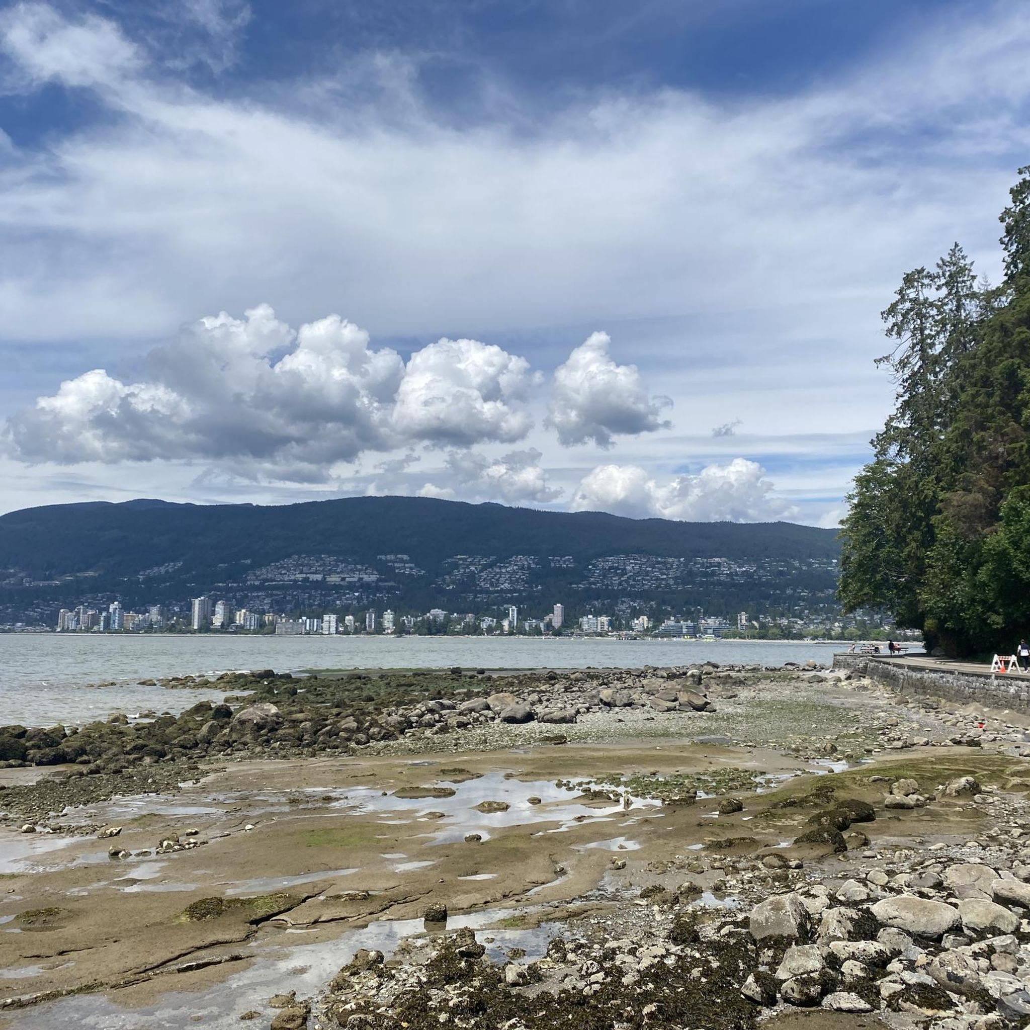
Running Trails in Stanley Park National Historic Site
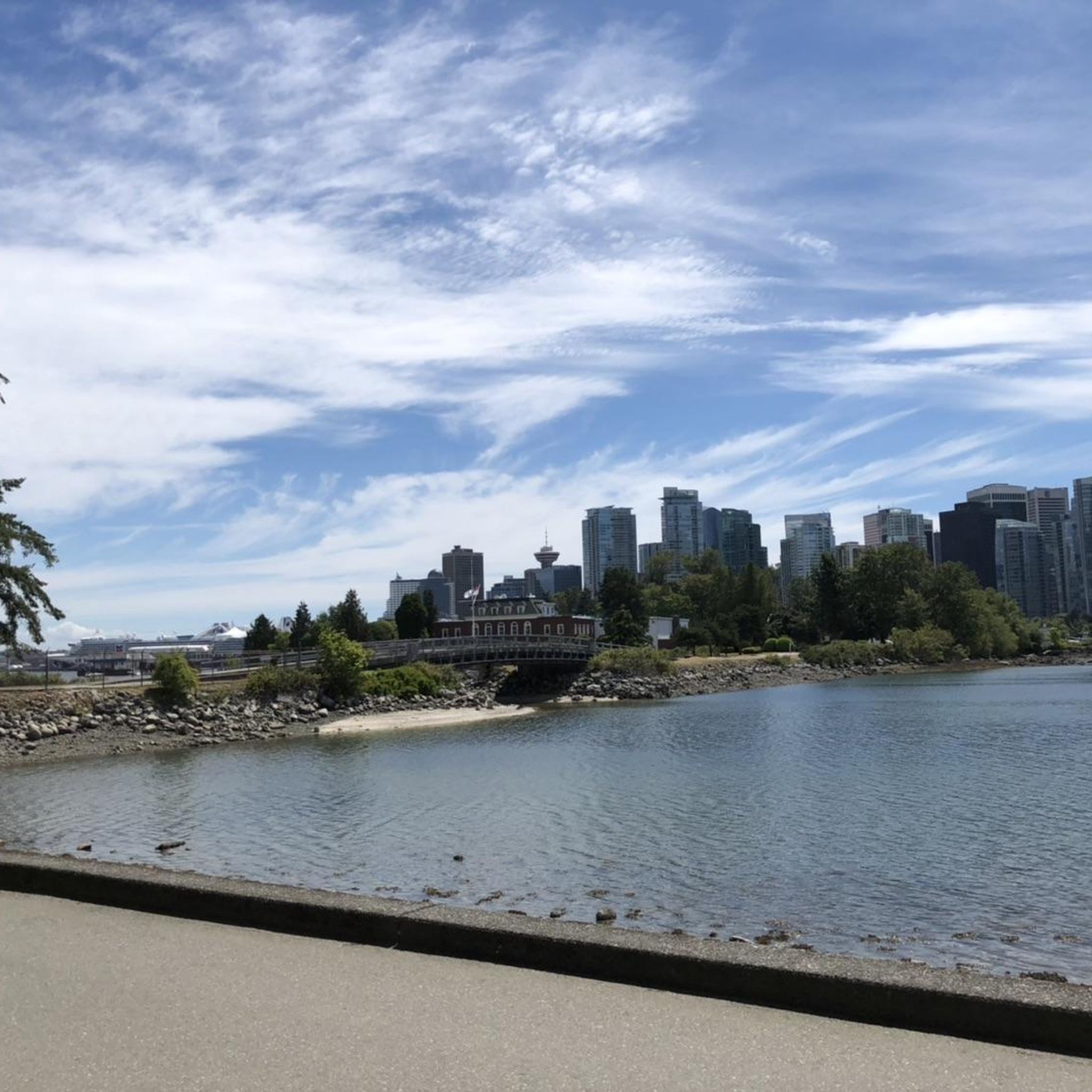
Hiking in Stanley Park National Historic Site
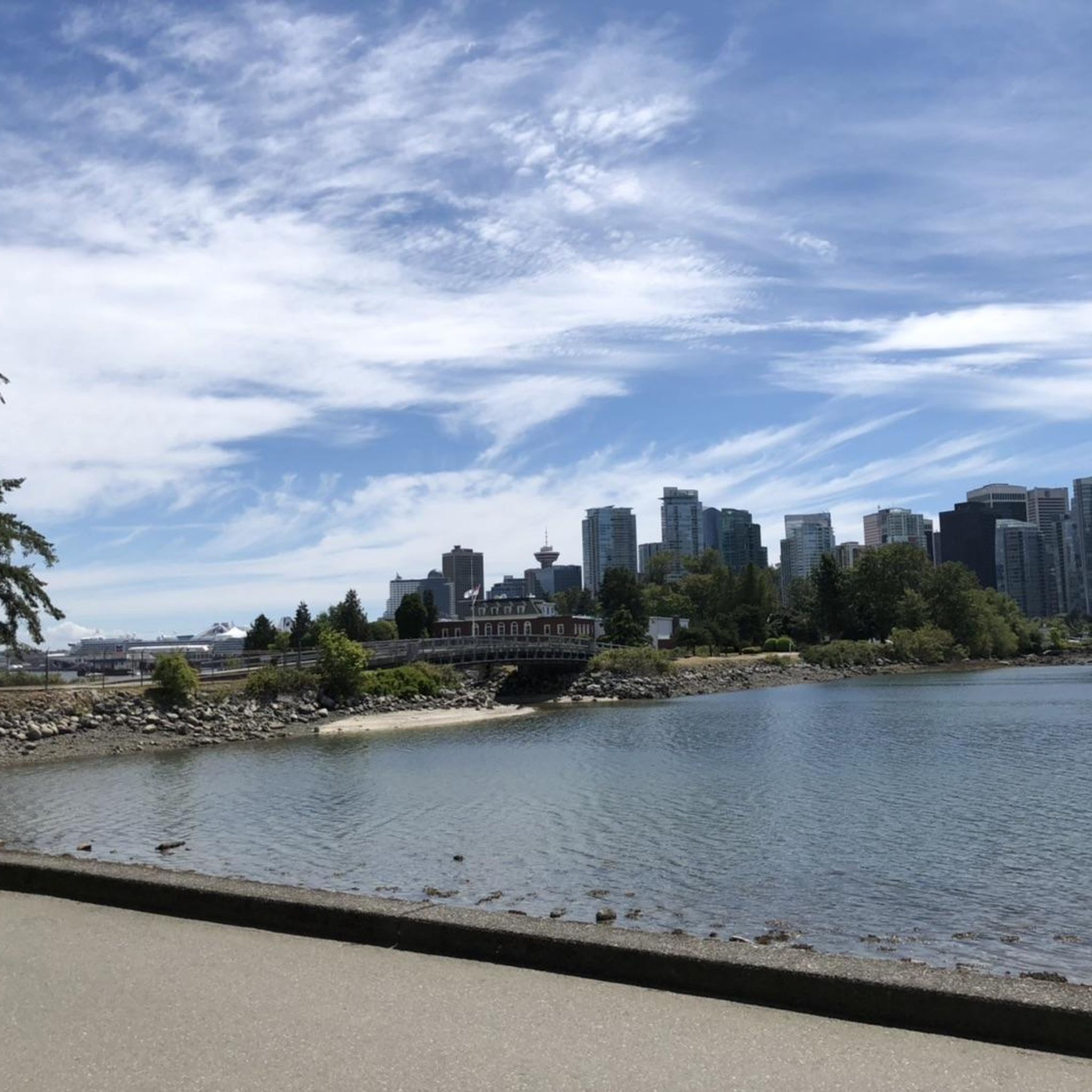
Road Cycling Routes in Stanley Park National Historic Site
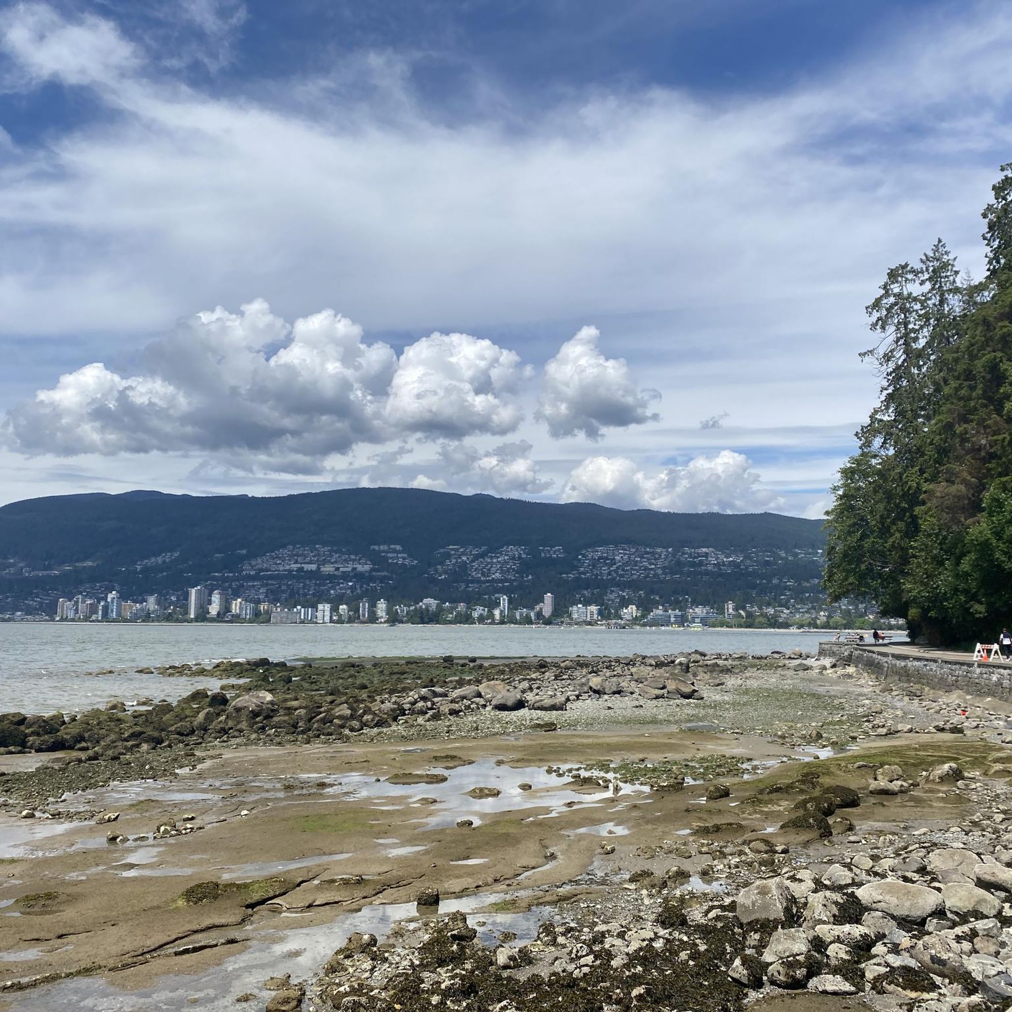
MTB Trails in Stanley Park National Historic Site
Gravel biking in Stanley Park National Historic Site
Other adventures in Stanley Park National Historic Site

Tips from the Community

Lost Lagoon is a freshwater lake at the entrance to Stanley Park. Before the Stanley Park Causeway was built, this area was a tidal mudflat connected to Coal Harbour and would disappear at low tide, inspiring the name given by poet E. Pauline Johnson. Today, the lagoon is one of Vancouver's best places for urban wildlife watching, with ducks, great blue herons, turtles, and other water birds regularly seen along its shores. The flat path around the water also offers beautiful reflections of the downtown skyline and surrounding trees.
0
0

Really super nice sculptures
3
0
A very nice place to walk.
2
0

In Vancouver's beautiful Stanley Park, you can admire several totem poles for free. Each one has an explanation, and the path to the pole is signposted.
1
0


Smaller bridge connecting Kitsilano to downtown.
1
0
The venue is currently home to the BC Lions of the Canadian Football League (CFL), the Vancouver Whitecaps FC of Major League Soccer (MLS), the annual Canada Sevens (part of the World Rugby Sevens Series), as well as the BC Sports Hall of Fame.
1
0
There are various bronze statues here that laugh at each other.
1
0
Frequently Asked Questions
How many touring cycling routes are available in Stanley Park National Historic Site?
Stanley Park National Historic Site offers a wide variety of touring cycling routes, with over 250 options available. These routes cater to different skill levels, from easy coastal paths to more challenging interior trails.
What do other touring cyclists say about the routes in Stanley Park National Historic Site?
The touring cycling routes in Stanley Park National Historic Site are highly rated by the komoot community, with an average score of 4.6 stars from over 1,100 reviews. Cyclists often praise the stunning waterfront views, the serene forest paths, and the well-maintained Seawall for an enjoyable experience.
Are there touring cycling routes suitable for beginners in Stanley Park National Historic Site?
Yes, Stanley Park National Historic Site has many easy touring cycling routes perfect for beginners. Over 130 routes are classified as easy, offering gentle terrain and scenic views. A great option is the English Bay Beach – Burrard Street Bridge loop from Stanley Park, which is 9.2 miles (14.9 km) and offers continuous coastal views.
Are there any challenging touring cycling routes for experienced cyclists?
For experienced cyclists seeking a challenge, Stanley Park National Historic Site and its surrounding areas offer more difficult routes. For example, the Halfway Hairpin – Seymour Trailway loop from North Vancouver is a difficult 32.3 miles (52.0 km) path with significant elevation gain, connecting to trails beyond the park's immediate vicinity.
What kind of terrain can I expect on touring cycling routes in Stanley Park?
You can expect diverse terrain for touring cycling in Stanley Park. The iconic Seawall offers a flat, paved path with breathtaking ocean and city views. Inland, you'll find less crowded forest trails that wind through ancient trees, providing a different experience within the natural West Coast rainforest environment.
Are there family-friendly touring cycling routes in Stanley Park National Historic Site?
Yes, Stanley Park is very family-friendly for cycling. The Seawall, with its separate lanes for walkers and bikers, is an excellent choice for families due to its flat, paved surface and continuous scenic views. Many of the easy routes, such as the Beaver Lake – English Bay Beach loop from Burrard, are also suitable for families, leading through interior park features like Beaver Lake.
What are some notable landmarks or natural features to see while cycling in Stanley Park?
While cycling in Stanley Park, you can encounter several notable landmarks and natural features. Along the Seawall, you'll pass the historic Totem Poles in Stanley Park at Brockton Point, the unique Siwash Rock (Slhx̱í7lsh), and the serene Lost Lagoon. The park also features lush rainforests with towering ancient trees and various beaches like Third Beach.
How long does it typically take to cycle the Stanley Park Seawall?
Cycling the entire Stanley Park section of the Seawall, which is approximately 8.8 kilometers (5.5 miles), typically takes about 1 to 1.5 hours at a relaxed pace. This allows ample time to enjoy the panoramic views of the Pacific Ocean, Vancouver skyline, and Lions Gate Bridge.
Is there public transport access to Stanley Park for cyclists?
Yes, Stanley Park is well-served by public transport, making it accessible for cyclists. Several bus routes stop near the park entrances, and many buses are equipped with bike racks. This allows for convenient access to the park's cycling trails without needing to drive.
Are there cafes or amenities near the touring cycling routes in Stanley Park?
Yes, Stanley Park offers several amenities, including cafes and refreshment stands, particularly along the Seawall and near popular attractions. These spots provide convenient places to take a break, grab a snack, or enjoy a coffee during your ride. Additionally, the nearby urban areas offer a wider range of cafes and restaurants.
What are the cycling rules and etiquette within Stanley Park?
Within Stanley Park, cyclists should adhere to specific rules and etiquette to ensure safety and enjoyment for all visitors. The Seawall has designated lanes for cyclists and pedestrians, and it's crucial to stay in your lane. Cyclists should ride at a safe speed, use hand signals, and yield to pedestrians. Always be mindful of wildlife and other park users.
Can I find circular touring cycling routes in Stanley Park National Historic Site?
Yes, many touring cycling routes in Stanley Park National Historic Site are designed as loops, offering a continuous journey without retracing your steps. The Seawall itself forms a large loop around the park's perimeter. Routes like the English Bay Beach – Burrard Street Bridge loop from Burrard are excellent examples of circular routes that allow you to experience diverse scenery.
What is the best time of year to go touring cycling in Stanley Park?
Stanley Park is enjoyable for touring cycling year-round, but the best time is generally from spring to fall (April to October) when the weather is milder and drier. During these months, the gardens are in bloom, and the views are often clearer. While winter cycling is possible, be prepared for cooler temperatures and potential rain.
Most popular routes in Stanley Park National Historic Site
Most popular attractions in Stanley Park National Historic Site

Get inspired with the komoot mobile app


Explore more
Browse the best Cycling routes in other regions.
